The best road cycling routes in Monroe County
59
riders
7
rides
Road cycling routes in Monroe County traverse a landscape characterized by varied terrain, including forested areas and significant elevation changes. The region offers a network of roads suitable for different levels of road cycling experience. Routes often feature rolling hills and scenic rural stretches. The topography provides opportunities for both challenging climbs and more moderate rides.
Best road cycling routes in Monroe County
- The most popular road cycling route is Roadbike loop from McCartney Family Cemetery, an 81.2 miles…
Last updated: September 29, 2026
37
riders
131km
06:44
2,250m
2,250m
Hard road ride. Very good fitness required. Mostly well-paved surfaces and easy to ride.
3
riders
53.1km
02:58
670m
670m
Moderate road ride. Good fitness required. Mostly well-paved surfaces and easy to ride.

3
riders
57.1km
03:37
1,220m
1,220m
Hard road ride. Very good fitness required. Some segments of this route may be unpaved and difficult to ride.
3
riders
40.8km
02:10
600m
600m
Moderate road ride. Good fitness required. Mostly well-paved surfaces and easy to ride.
2
riders
36.8km
02:01
590m
590m
Moderate road ride. Good fitness required. Mostly well-paved surfaces and easy to ride.
3
riders
113km
06:58
1,920m
1,920m
Hard road ride. Very good fitness required. Some segments of this route may be unpaved and difficult to ride.
3
riders
123km
06:01
1,610m
1,610m
Hard road ride. Very good fitness required. Mostly well-paved surfaces and easy to ride.
Our route recommendations are based on thousands of hikes, rides, and runs completed by other people on komoot.
Start today with a free account
Your next adventure awaits.
Popular around Monroe County

Tips from the Community


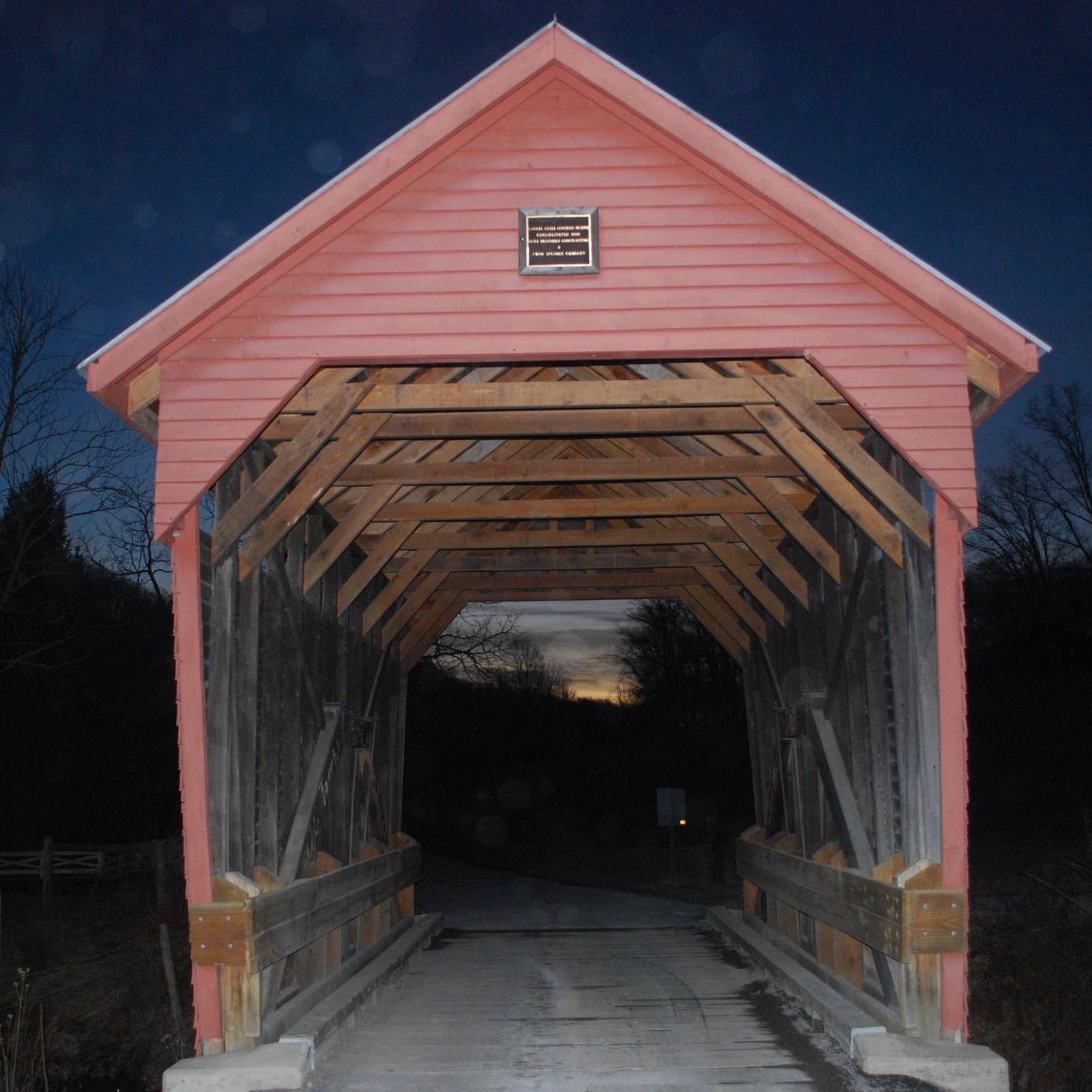
Maple Street Historic District is district on the National Register of Historic Places. It is historically significant as it still has homes that were built in the style of the typical worker's home in the area. It was the type of house that was normally constructed by the coal and timber company towns throughout West Virginia.
0
0
Frequently Asked Questions
How many road cycling routes are available in Monroe County?
Monroe County offers a selection of 8 road cycling routes, catering to various skill levels. These routes traverse diverse landscapes, including forested areas and scenic rural stretches.
Are there easy road cycling routes suitable for beginners in Monroe County?
Yes, Monroe County has options for beginners. An excellent choice is the Connallys Lake loop from Waiteville. This route is 15.7 miles (25.2 km) long with a moderate elevation gain of 269 meters, making it accessible for those new to road cycling.
What are some challenging road cycling routes in Monroe County?
For experienced road cyclists seeking a challenge, Monroe County offers several difficult routes. The Roadbike loop from McCartney Family Cemetery is a demanding 81.2-mile (130.6 km) route with over 2,250 meters of elevation gain. Another difficult option is the Route 42 Overlook loop from McCartney Family Cemetery, covering 70.5 miles (113.5 km) with significant climbs.
Can I find long-distance road cycling routes in Monroe County?
Absolutely. Monroe County is home to several long-distance road cycling routes. The longest is the Roadbike loop from McCartney Family Cemetery, which spans 81.2 miles (130.6 km). Another substantial option is the Freight Train Route View loop from Trailhead Rt 100 shuttle pick up, at 76.3 miles (122.8 km).
Are there loop road cycling routes in Monroe County?
Yes, all the road cycling routes listed for Monroe County are designed as loops, offering convenient starting and ending points. This includes routes like the Maple Street Historic District loop from Fairlea and the Greenbrier State Forest loop from White Sulphur Springs.
What kind of scenery can I expect on road cycling routes in Monroe County?
Road cycling in Monroe County offers a diverse range of scenery, characterized by rolling hills, dense forested sections, and open rural roads. Many routes provide scenic viewpoints, especially those with higher elevation gains, showcasing the region's natural beauty.
What is the best time of year for road cycling in Monroe County?
The best time for road cycling in Monroe County is generally during the spring and fall months when temperatures are moderate and the foliage is vibrant. Summer offers warm weather, but can be humid. Winter cycling is possible but requires caution due to potential icy conditions and colder temperatures, especially in higher elevations.
Are there road cycling routes with good parking access in Monroe County?
While specific parking details vary by route, many road cycling routes in Monroe County originate from towns or areas where public parking is available. It's advisable to check the starting point of your chosen route for the most convenient parking options.
Are there family-friendly road cycling options in Monroe County?
For families or those looking for a more relaxed ride, the easier routes are generally more suitable. The Connallys Lake loop from Waiteville is a good option due to its shorter distance and manageable elevation, making it enjoyable for a wider range of abilities.
What do other cyclists say about road cycling in Monroe County?
Over 50 road cyclists have explored Monroe County using komoot, praising the region for its varied terrain and opportunities for both challenging climbs and scenic rides. The routes are appreciated for showcasing the best of the area's landscape.
Are there moderate difficulty road cycling routes available in Monroe County?
Yes, Monroe County features several moderate road cycling routes. The Maple Street Historic District loop from Fairlea is a popular moderate 32.9-mile (53.0 km) path offering a mix of rural scenery and historic views. Another good choice is the Greenbrier State Forest loop from White Sulphur Springs, which is 22.8 miles (36.7 km) long.
What are the typical elevation changes on road cycling routes in Monroe County?
Road cycling routes in Monroe County are characterized by significant elevation changes, ranging from moderate climbs to substantial ascents. Even easier routes like the Connallys Lake loop have around 269 meters of gain, while difficult routes can feature over 2,250 meters of climbing, providing a good workout for cyclists.

Get inspired with the komoot mobile app


Explore more
Browse the best Road cycling routes in other regions.
