The best running trails in Augusta County
135
runners
28
runs
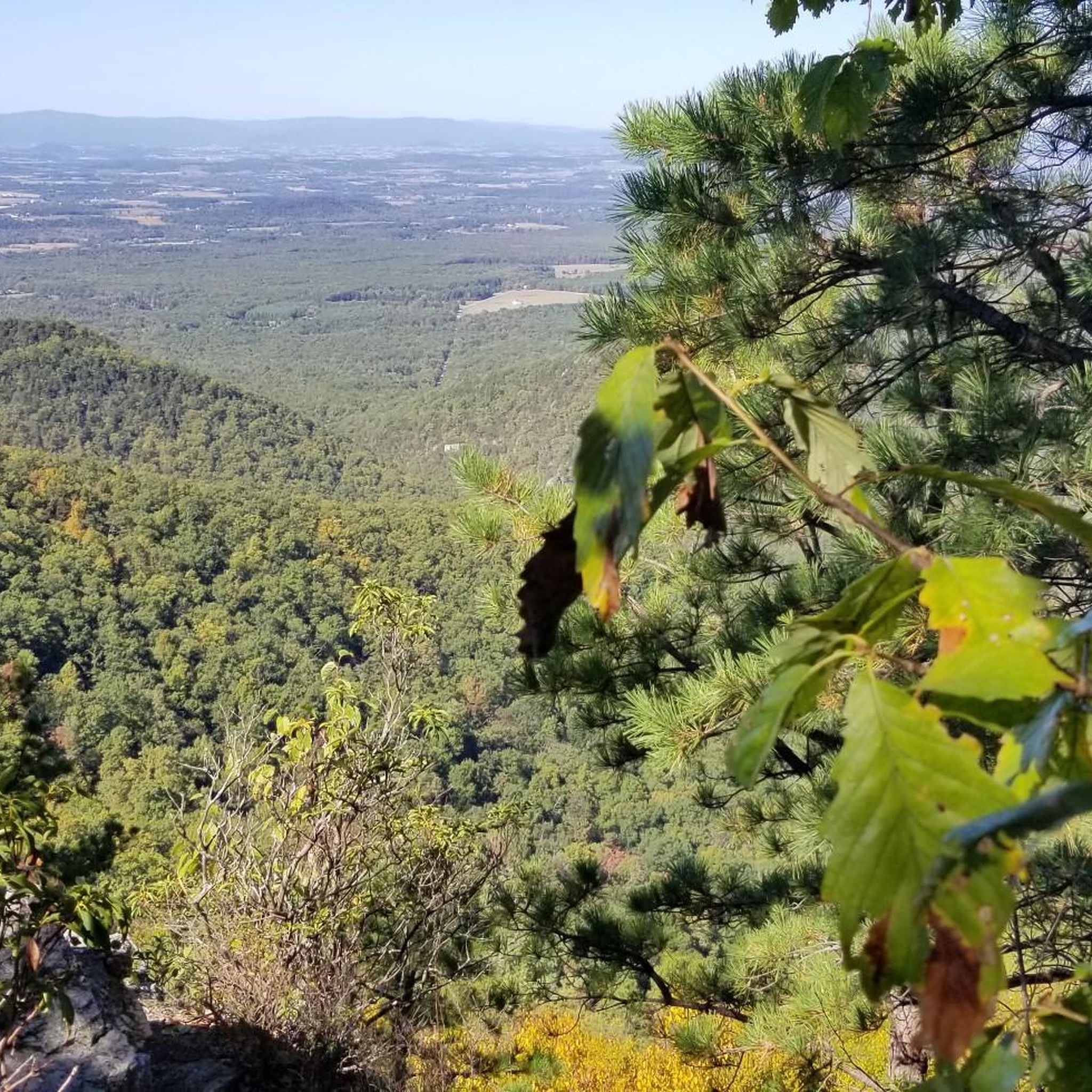
Jogging in Augusta County offers diverse terrain, nestled between the Blue Ridge and Allegheny Mountains, providing extensive mountain and valley views. The region features access to Shenandoah National Park and the George Washington and Jefferson National Forests, with a variety of trails from paved greenways to rugged mountain paths. Joggers can explore scenic routes along the Blue Ridge Parkway and Skyline Drive, encountering varied landscapes suitable for different fitness levels.
Best jogging routes in Augusta County
- The most popular jogging route is Riprap and Wildcat Ridge Loop, a 9.1 miles (14.7 km) difficult trail that takes about 1 hour 55 minutes to complete. This challenging route in Shenandoah National Park features significant elevation gain.
- Another top favourite among local runners is Turk Mountain Trail, a moderate 2.5 miles (4.0 km) path. This trail offers panoramic views from the summit within Shenandoah National Park.
- Local runners also love the Calf Mountain via Appalachian Trail, a 3.3 miles (5.3 km) trail leading through meadows with historical elements, often completed in about 42 minutes.
- Jogging in Augusta County is defined by mountain and valley views, dense woodlands, and historic pathways. The network offers options for both easy runs and more challenging mountain trails.
- The guide includes highly-rated routes that showcase the best of the region's landscape. More than 100 runners have used komoot to explore Augusta County's varied terrain.
Last updated: October 10, 2026
12
runners
14.7km
01:55
500m
510m
Prepare for a challenging jogging experience on the Riprap and Wildcat Ridge Loop, a difficult route spanning 9.1 miles (14.7 km) with a significant 1647 feet (502 metres) of elevation gain. You can expect to complete this loop in about 1 hour and 54 minutes, navigating rocky terrain and substantial climbs. Along the way, you will encounter beautiful waterfalls, vibrant wildflowers, and numerous stream crossings, with impressive rock formations like Calvary Rocks and Chimney Rock providing unique visual landmarks.
Planning your visit requires considering the strenuous nature of this loop, which is consistently rated as difficult due to its elevation gain and rocky underfoot conditions. The Wildcat Ridge Trail section, in particular, involves constant uphill climbs that can be very steep, especially if covered with leaves in late autumn. You should decide whether to tackle the loop clockwise or counter-clockwise, as this choice can greatly influence your experience, particularly concerning the steep descents.
This route offers fantastic views of the Shenandoah Valley and its surrounding hollows from various scenic viewpoints. The diverse natural features make it a rewarding journey for those seeking a demanding outdoor workout. The trail's significant elevation changes and varied landscape set it apart as a notable option within Shenandoah National Park for experienced joggers.
2
runners
5.27km
00:42
160m
160m
Embark on the Calf Mountain via Appalachian Trail for a dynamic jogging experience that transitions between open meadows and shaded forests. You'll navigate winding paths, dirt, and rock sections, with the reward of panoramic mountain vistas from points like Little Calf Mountain Summit. Keep an eye out for old stone fences, remnants of the area's farming past, adding a unique historical touch to the natural beauty.
This moderate 3.3-mile (5.3 km) route, with its 511 feet (156 metres) of elevation gain, can be completed in about 42 minutes, offering a varied workout. You can conveniently access the trailhead with parking near Route 250 and I-64, or directly at Beagle Gap on Skyline Drive. It's a great option for those seeking a relatively short yet engaging run with diverse scenery.
The trail is notable for providing a varied workout with both runnable flat sections and challenging inclines, making it a good choice for joggers looking to mix things up. The consistently changing scenery, from open meadows to dense forests and panoramic overlooks towards Waynesboro, keeps the run engaging. It's a fantastic way to experience the natural beauty and historical character of Shenandoah National Park.

3
runners
6.97km
01:03
370m
370m
Challenge yourself on the Furnace Mountain Trail, a difficult 4.3-mile jogging route in Shenandoah National Park with 1223 feet of gain.
1
runners
27.5km
03:39
830m
830m
This difficult 17.1-mile jogging loop in Ramsey's Draft Wilderness features 2712 feet of elevation gain and numerous stream crossings.
1
runners
3.98km
00:35
180m
180m
Jog the Turk Mountain Trail, a moderate 2.5-mile route in Shenandoah National Park with panoramic views from the summit.
11
runners
34.4km
04:40
1,120m
1,120m
Hard run. Very good fitness required. Mostly paved surfaces. Suitable for all skill levels.
9
runners
10.5km
01:09
220m
220m
Moderate run. Good fitness required. Mostly paved surfaces. Suitable for all skill levels.
8
runners
51.6km
06:29
1,300m
1,300m
Hard run. Very good fitness required. Mostly accessible paths. Some sure footedness required.
6
runners
5.10km
00:31
10m
10m
Moderate run. Good fitness required. Mostly paved surfaces. Suitable for all skill levels.
3
runners
7.69km
00:49
110m
110m
Moderate run. Good fitness required. Mostly paved surfaces. Suitable for all skill levels.
Get access to more routes and recommendations from other explorers.
Already have an account?
Our route recommendations are based on thousands of hikes, rides, and runs completed by other people on komoot.
Start today with a free account
Your next adventure awaits.
Popular around Augusta County
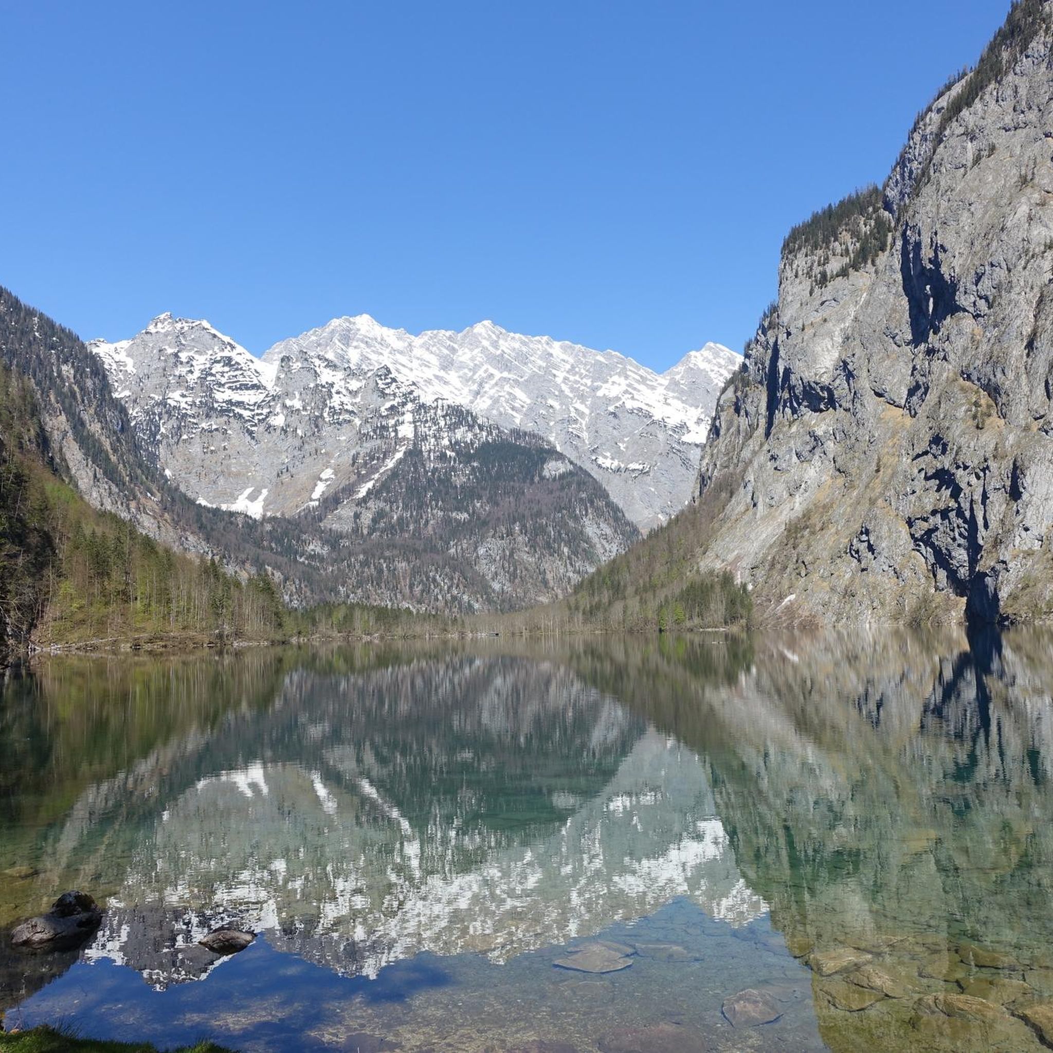
Running Trails around Harriston
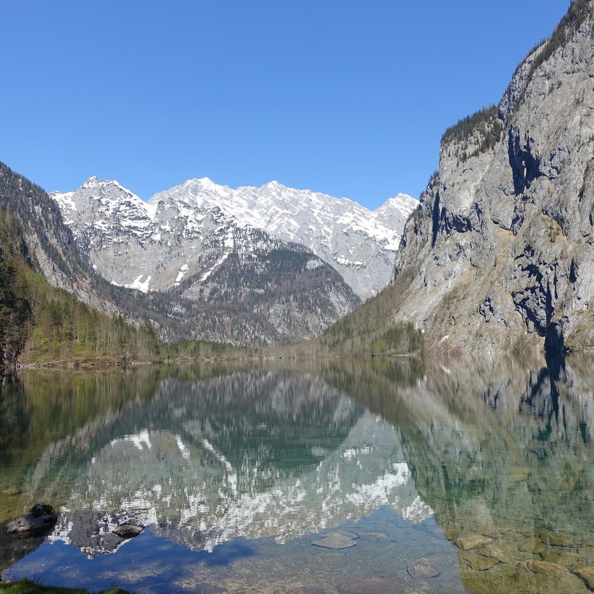
Running Trails around Crimora
Running Trails around Dooms
Running Trails around Sherando
Running Trails around Fishersville
Running Trails around Lyndhurst

Running Trails around Stuarts Draft
Hiking in Augusta County
MTB Trails in Augusta County
Road Cycling Routes in Augusta County
Tips from the Community

The Humpback Rocks Trail begins at the south end of the Humpback Gap. About a half-mile up the blue-blazed trail, hikers can take a spur trail on the left to reach Humpback Rocks, enjoying a strenuous 700-foot climb that rewards with stunning views of the Rockfish and Shenandoah Valleys. Continuing straight at the fork, hikers can reach the summit of Humpback Mountain for more great views. The trail is marked with blue blazes and sometimes white when part of the Appalachian Trail.
0
0
Humpback Rocks is a popular hiking destination due to its accessibility from the Blue Ridge Parkway and I-64. The trail leads to a greenstone outcrop near the peak of Humpback Mountain, with a summit elevation of 3,080 feet. The name comes from the "hump" in the rock formation, which gives the mountain its name, making it stand out from the surrounding, more vegetated peaks. While the views are spectacular, be cautious, especially when the rocks are wet, and try to overlook the occasional disappointing graffiti in some areas.
0
0

A well-maintained dirt path leads you on a steady incline to this spot, where you'll enjoy panoramic views of the Blue Ridge Mountains. As you approach the summit, the trail becomes rockier, offering a fun and technical run.
0
0

A panoramic trail that leads to the summit of Furnace Mountain. A pleasure for the eyes!
0
0
This trail leads you on a steady incline up to Turk Mountain, winding through a narrow dirt path surrounded by lush greenery. Along the way, you'll be rewarded with stunning views, making it worth taking your time to enjoy the scenery.
0
0
At 2,981 feet, Turk Mountain offers a stunning panoramic view of the area. The final stretch to the summit is rocky and might require a bit of walking, but the views make the challenge worthwhile.
0
0
The Appalachian Trail stretches over 2,000 miles and stands as one of the most iconic trails in the United States. This section leads you to the Calf Mountain summit, where you'll enjoy views of the radio towers on Bear Den Mountain across Skyline Drive. While the trail continues for miles, this area offers the best views.
0
0

The Greenway Trail is a 2-mile trail that runs along the South River. It is fully paved and is very popular with walkers, runners and cyclists.
0
0
Frequently Asked Questions
What types of running routes are available in Augusta County?
Augusta County offers a diverse range of running routes, from easy, paved greenways to challenging, rugged mountain trails. You can find paths suitable for various fitness levels, including those with significant elevation changes and technical terrain, as well as more accessible options for a relaxed jog.
Are there any easy or beginner-friendly jogging routes in Augusta County?
While many routes in Augusta County are moderate to difficult, the region does offer easier options. For a flat, accessible run, consider the South River Greenway, a paved in-town pathway. The Historic Crozet Tunnel loop from Afton is another moderate option with a crushed-stone surface, offering a unique experience through a historic railroad tunnel.
Which running routes offer the best scenic views in Augusta County?
Many routes in Augusta County boast stunning views, especially those in the Blue Ridge and Allegheny Mountains. The Turk Mountain Trail provides panoramic vistas from its summit. For breathtaking mountain and valley views, consider routes accessible from the Blue Ridge Parkway or Skyline Drive, such as the Blackrock Summit loop from Blackrock Gap or the Humpback Rocks loop from Rockfish Gap.
Are there any long-distance running trails for experienced runners?
Yes, Augusta County has several challenging long-distance routes. The Ramsey's Draft - Bald Ridge Loop is a difficult 17.1-mile route known for its stream crossings and substantial elevation changes. For an even longer challenge, the Sand Spring Mountain loop from Natural Chimneys Park & Campground spans over 30 miles with significant climbs.
What natural attractions or landmarks can I see while running in Augusta County?
Augusta County's routes often pass by or near significant natural features. You can experience the unique geology of Natural Chimneys, towering limestone formations, or explore trails that lead to summits like Turk Mountain Summit and Elliott Knob. Many routes also offer stunning viewpoints like Ravens Roost Overlook and Beautiful Outlook.
Are there any circular running routes in the area?
Yes, many of the running routes in Augusta County are designed as loops, allowing you to start and end at the same point. Examples include the challenging Riprap and Wildcat Ridge Loop, the extensive Ramsey's Draft - Bald Ridge Loop, and the scenic Humpback Rocks loop from Rockfish Gap.
What do other runners enjoy most about jogging in Augusta County?
Runners frequently praise Augusta County for its diverse landscapes, from dense woodlands to expansive mountain and valley views. The variety of trails, catering to both easy runs and challenging mountain ascents, is also highly appreciated. Many enjoy the sense of solitude found on trails within areas like Ramsey's Draft Wilderness.
Are there any family-friendly running trails in Augusta County?
For families looking for an easier run, the paved South River Greenway in town is a great option. The Lifecore Trail in Fishersville also provides a pedestrian and cycling path suitable for a family jog. These routes offer a more accessible and less strenuous experience compared to the mountain trails.
Can I bring my dog on the running trails in Augusta County?
Many trails in Augusta County, particularly those within the George Washington and Jefferson National Forests, are generally dog-friendly. However, regulations can vary, especially within Shenandoah National Park. It's always best to check specific trail rules or park guidelines before heading out with your dog to ensure they are permitted and to understand any leash requirements.
What is the best time of year to go running in Augusta County?
Augusta County offers great running opportunities year-round. Spring brings blooming wildflowers, while autumn showcases spectacular fall foliage, making these seasons particularly scenic. Summer is ideal for higher elevation trails where temperatures are cooler. Winter running can be beautiful, but some higher or less maintained trails may be challenging due to snow or ice. Always check weather and trail conditions before you go.
Are there any running routes that follow historical paths or have historical significance?
Yes, Augusta County has routes with historical elements. The Calf Mountain via Appalachian Trail leads through meadows with historical significance. Additionally, the Blue Ridge Tunnel Trail, part of the Historic Crozet Tunnel loop from Afton, offers a unique experience through a historic railroad tunnel, once the longest in the US.
How many running routes are featured in Augusta County on komoot?
Komoot features 16 running routes in Augusta County, offering a wide selection for joggers. These routes range in difficulty from moderate to difficult, ensuring there's a suitable challenge for many runners.
Most popular routes in Augusta County
Most popular attractions in Augusta County

Get inspired with the komoot mobile app


Didn’t find what you were looking for?
Check out more Running Trails & Routes throughout Augusta County below and find the perfect route in your destination.
Explore more
Browse the best Running Trails & Routes in other regions.
