The best road cycling routes in Bath County
5.0
(2)
24
riders
7
rides
Road cycling routes in Bath County, Virginia, traverse the Allegheny Mountains, offering varied elevation changes and scenic vistas. The region is characterized by extensive forest lands, including portions of the George Washington National Forest, and pristine waterways like the Jackson and Cowpasture Rivers. Cyclists encounter a mix of challenging climbs and shaded country roads, providing diverse terrain for road biking.
Best road cycling routes in Bath County
- The most popular road cycling route is Pike Pond – Falling Spring Overlook…
Last updated: September 28, 2026
9
riders
79.5km
04:29
1,370m
1,370m
Hard road ride. Very good fitness required. Some segments of this route may be unpaved and difficult to ride.
4
riders
26.7km
01:15
350m
340m
Moderate road ride. Good fitness required. Mostly well-paved surfaces and easy to ride.

3
riders
30.4km
01:35
410m
410m
Moderate road ride. Good fitness required. Mostly well-paved surfaces and easy to ride.
2
riders
54.5km
02:50
960m
960m
Hard road ride. Very good fitness required. Mostly well-paved surfaces and easy to ride.
5.0
(1)
2
riders
62.6km
03:24
1,050m
1,050m
Hard road ride. Very good fitness required. Mostly well-paved surfaces and easy to ride.
5.0
(1)
2
riders
62.0km
03:11
920m
920m
Hard road ride. Very good fitness required. Some segments of this route may be unpaved and difficult to ride.
2
riders
84.5km
04:07
670m
670m
Moderate road ride. Good fitness required. Mostly well-paved surfaces and easy to ride.
Our route recommendations are based on thousands of hikes, rides, and runs completed by other people on komoot.

Tips from the Community

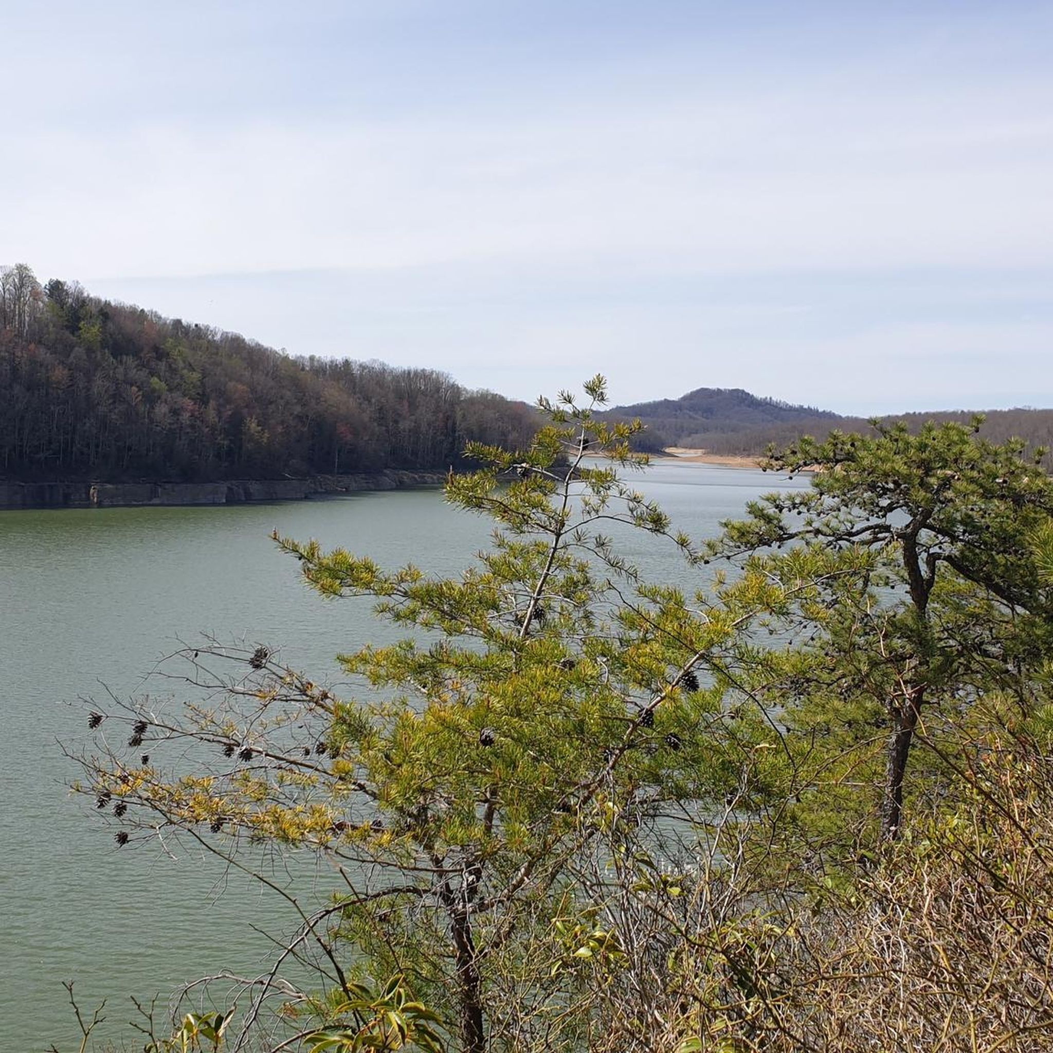
Jackson River Trail is a pleasant multi-use path built along an old railroad, running mostly parallel to Jackson River, and leading to the recreation area at Moomaw Lake. The trail is over 14 miles in length, with plenty of parking lots along it, allowing hikers to choose their starting point.
0
0
Frequently Asked Questions
How many road cycling routes are available in Bath County?
Komoot currently lists 6 road cycling routes in Bath County, offering diverse experiences. These routes range from moderate to difficult, catering to various fitness levels.
What kind of terrain can I expect on road cycling routes in Bath County?
Bath County's road cycling routes traverse the Allegheny Mountains, featuring dramatic ridge-and-valley topography. You can expect varied elevation changes, challenging climbs, and scenic descents on shaded country roads. Many routes wind alongside bold creeks and small rivers, providing a mix of rural landscapes and forest views.
Are there any easy or moderate road cycling routes suitable for less experienced riders in Bath County?
While many routes in Bath County offer significant challenges, there are options for moderate rides. For instance, the Roadbike loop from Hot Springs is a moderate 16.6-mile (26.7 km) route through rural landscapes. Another moderate option is the Roadbike loop from McClung, covering 18.9 miles (30.4 km).
What are some of the more challenging road cycling routes in Bath County?
For experienced cyclists seeking a challenge, Bath County offers routes with significant elevation gains. The Pike Pond – Falling Spring Overlook loop from Mallow is a difficult 49.4-mile (79.5 km) route with over 4,500 feet (1,370 meters) of climbing. Another demanding option is the Jackson River Scenic Trail loop from Hot Springs, a difficult 38.5-mile (62.0 km) path that includes sections of the scenic Jackson River Trail.
What natural features or landmarks can I see along the road cycling routes?
Road cycling in Bath County offers expansive views of the Virginia and West Virginia highlands. You'll encounter pristine waterways like the Jackson and Cowpasture Rivers, and ride through portions of the George Washington National Forest. Some routes, such as the Pike Pond – Falling Spring Overlook loop from Mallow, specifically feature viewpoints like the Falling Spring Overlook.
Are there any loop road cycling routes in Bath County?
Yes, all the road cycling routes listed on Komoot for Bath County are designed as loops, allowing you to start and finish at the same point. Examples include the Pike Pond – Falling Spring Overlook loop from Mallow and the Roadbike loop from Hot Springs.
What is the best time of year for road cycling in Bath County?
The mountainous terrain of Bath County ensures cooler temperatures, making it pleasant for outdoor activities, especially during warmer months. Spring and fall generally offer the most comfortable conditions with vibrant foliage or blooming wildflowers. While winter cycling is possible, be prepared for colder temperatures and potential snow or ice at higher elevations.
Are there any family-friendly road cycling options in Bath County?
While many road cycling routes in Bath County involve significant elevation changes, the region also offers multi-use paths that are more suitable for families. The Jackson River Scenic Trail, for example, is a 16-mile crushed-gravel path popular for walking, jogging, and biking, offering scenic views along the river, farmland, and wildflowers. Sections of this trail are incorporated into routes like the Jackson River Scenic Trail loop from Hot Springs.
Where can I find parking for road cycling routes in Bath County?
Specific parking information for each route can often be found on the individual Komoot tour pages. Generally, you can look for parking near the designated starting points of the loop routes, such as in towns like Hot Springs, Mallow, or Covington. Given the rural nature of Bath County, roadside parking or small public lots are common.
What do other road cyclists enjoy most about road cycling in Bath County?
The area is highly rated by the Komoot community, with an average score of 5.0 stars. Reviewers often praise the combination of challenging climbs, expansive views of the Virginia and West Virginia highlands, and the serene experience on low-traffic, shaded country roads. The absence of traffic lights throughout the county contributes to a more peaceful ride.
Are there any cafes or pubs near the road cycling routes in Bath County?
Bath County offers a charming, rural experience, and while specific cafes or pubs directly on every route may be limited, you can find options in the small towns that serve as starting points or pass-throughs for many routes. Hot Springs, for example, is home to The Omni Homestead Resort, which offers various dining options. Other small communities like Warm Springs and Millboro may also have local establishments where you can refuel.
Are there any permits required for road cycling in Bath County?
Generally, no specific permits are required for road cycling on public roads in Bath County. However, if your route takes you through private land or specific parks, it's always advisable to check local regulations. For information on protected areas like the Warm Springs Mountain Preserve, you can visit The Nature Conservancy's website: Warm Springs Mountain Preserve.
Most popular routes in Bath County

Get inspired with the komoot mobile app


Explore more
Browse the best Road cycling routes in other regions.
