The best cycling routes in Northeastern Connecticut Planning Region
5.0
(14)
159
riders
25
rides
Touring cycling in Northeastern Connecticut Planning Region offers a network of routes through tranquil rural landscapes. The region is characterized by rolling hills, dense forests, and meandering rivers such as the Quinebaug and Willimantic. It features a mix of dedicated rail trails, including sections of the Air Line State Park Trail and Hop River State Trail, alongside road cycling opportunities. This diverse terrain provides varied experiences for touring cyclists.
Best touring cycling routes in Northeastern Connecticut Planning Region
- The most popular touring cycling route is East Coast Greenway – James L. Goodwin State Forest loop from Ann A. Wright Preserve, a 34.1 miles (54.9 km) trail that takes about 4 hours 18 minutes to complete. This moderate route incorporates a significant portion of the East Coast Greenway.
- Another top favourite among local touring cyclists is West Thompson Dam – Putnam River Trail loop from Putnam, a moderate 31.9 miles (51.3 km) path. This route offers views along the Quinebaug River and includes sections of the Putnam River Trail.
- Local touring cyclists also love the Hop State Park Trail – Andover Memorial Bridge loop from Willimantic, an 18.3 miles (29.4 km) trail leading through varied landscapes, often completed in about 2 hours 27 minutes.
- Touring cycling in Northeastern Connecticut Planning Region is defined by rolling hills, lush forests, and historic rail trails. The network offers options for different ability levels, from easy, flat paths to more challenging routes with elevation changes.
- The routes in Northeastern Connecticut Planning Region are highly rated by the komoot community with an average score of 5.0 stars from over 10 reviews. More than 100 touring cyclists have used komoot to explore Northeastern Connecticut Planning Region's varied terrain.
Last updated: September 30, 2026
5.0
(9)
31
riders
46.9km
04:06
210m
210m
Moderate bike ride. Good fitness required. Mostly paved surfaces. Suitable for all skill levels.
5.0
(2)
13
riders
Moderate bike ride. Good fitness required. Mostly paved surfaces. Suitable for all skill levels.

10
riders
30.5km
02:31
120m
120m
Moderate bike ride. Good fitness required. Mostly paved surfaces. Suitable for all skill levels.
6
riders
103km
07:39
1,040m
1,040m
Hard bike ride. Very good fitness required. Mostly paved surfaces. Suitable for all skill levels.
7
riders
17.7km
01:35
180m
180m
Moderate bike ride. Good fitness required. Mostly paved surfaces. Suitable for all skill levels.
5.0
(1)
2
riders
51.3km
03:04
340m
340m
Moderate bike ride. Good fitness required. Mostly paved surfaces. Suitable for all skill levels.
7
riders
8.66km
00:48
50m
60m
Easy bike ride. Great for any fitness level. Mostly paved surfaces. Suitable for all skill levels.
5
riders
33.3km
02:15
240m
240m
Moderate bike ride. Good fitness required. Mostly paved surfaces. Suitable for all skill levels.
4
riders
37.9km
02:39
290m
290m
Moderate bike ride. Good fitness required. Mostly paved surfaces. Suitable for all skill levels.
5.0
(1)
8
riders
48.7km
03:53
450m
450m
Moderate bike ride. Good fitness required. Mostly paved surfaces. Suitable for all skill levels.
Get access to more routes and recommendations from other explorers.
Already have an account?
Our route recommendations are based on thousands of hikes, rides, and runs completed by other people on komoot.
Start today with a free account
Your next adventure awaits.
Popular around Northeastern Connecticut Planning Region
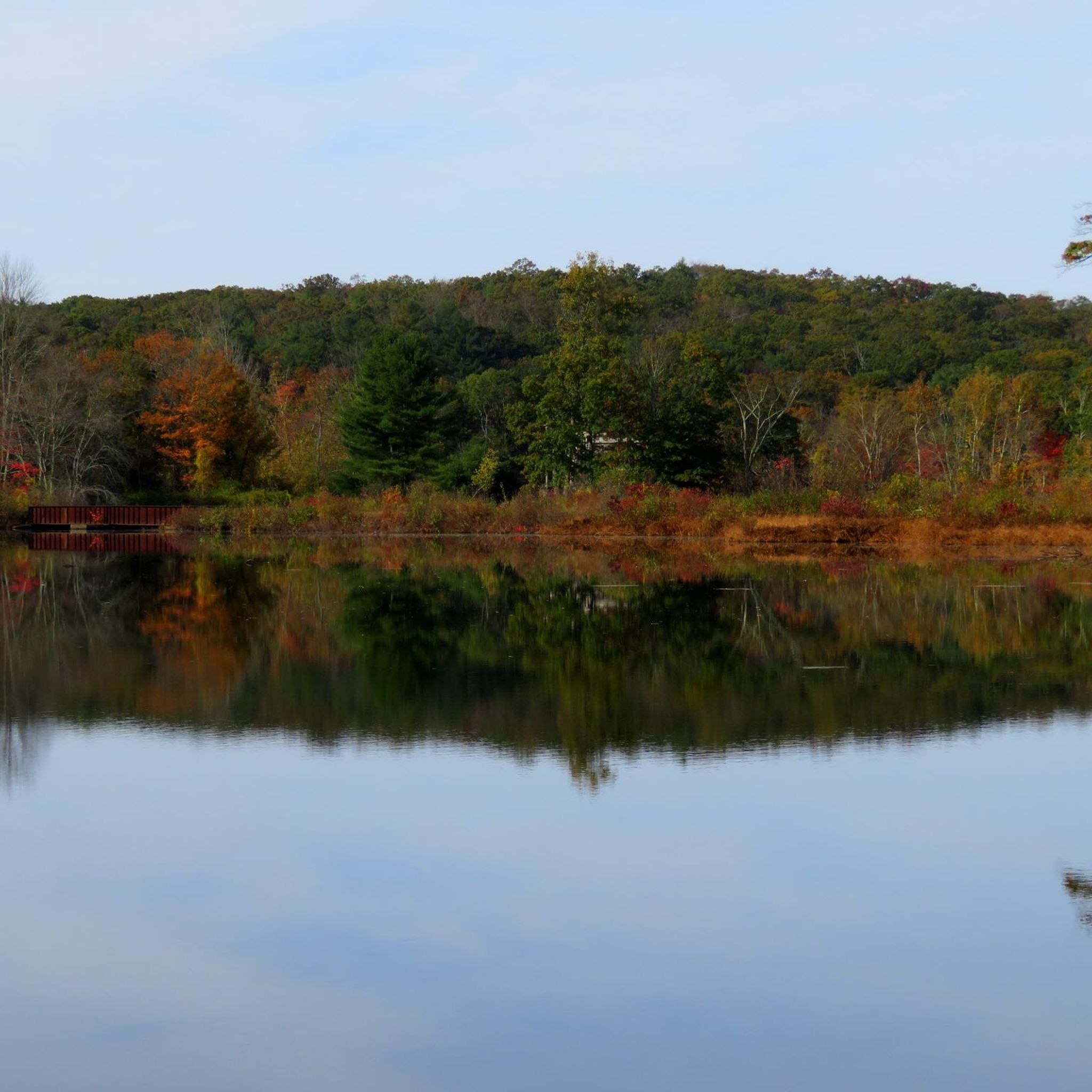
Cycling in Airline State Park Trail (Northern Section)
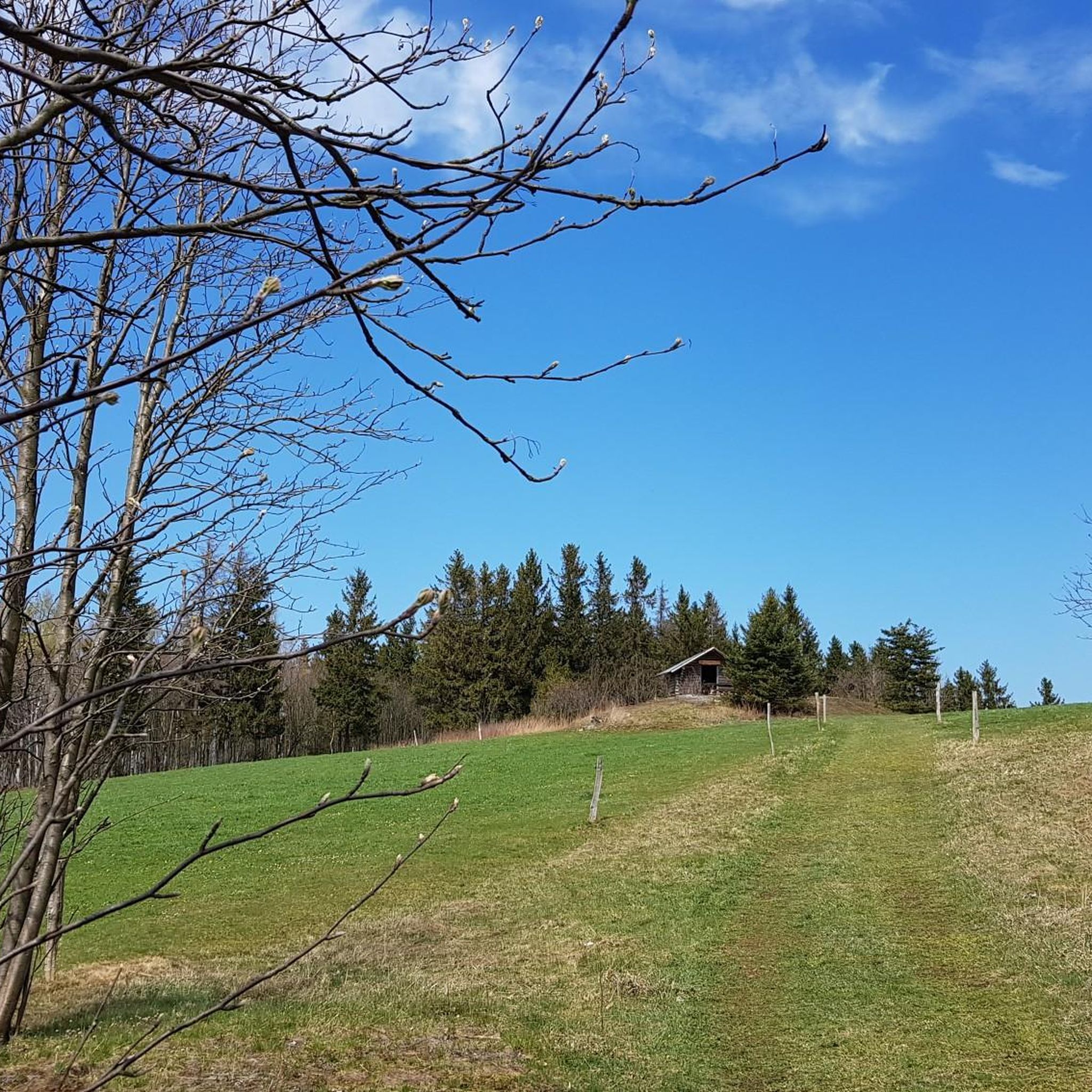
Cycling in Natchaug State Forest
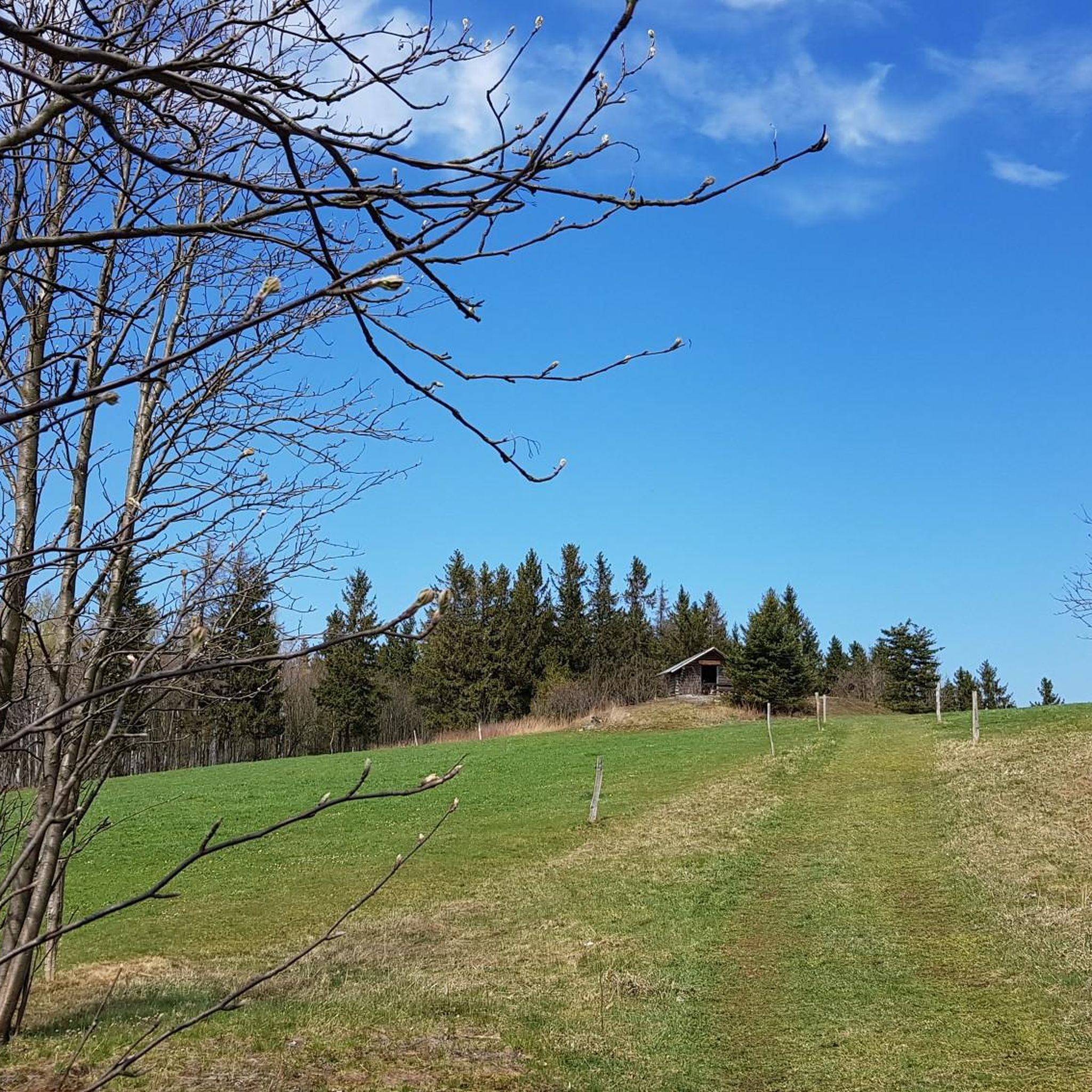
Cycling in Quaddick State Forest

Cycling in Moosup Valley State Park Trail
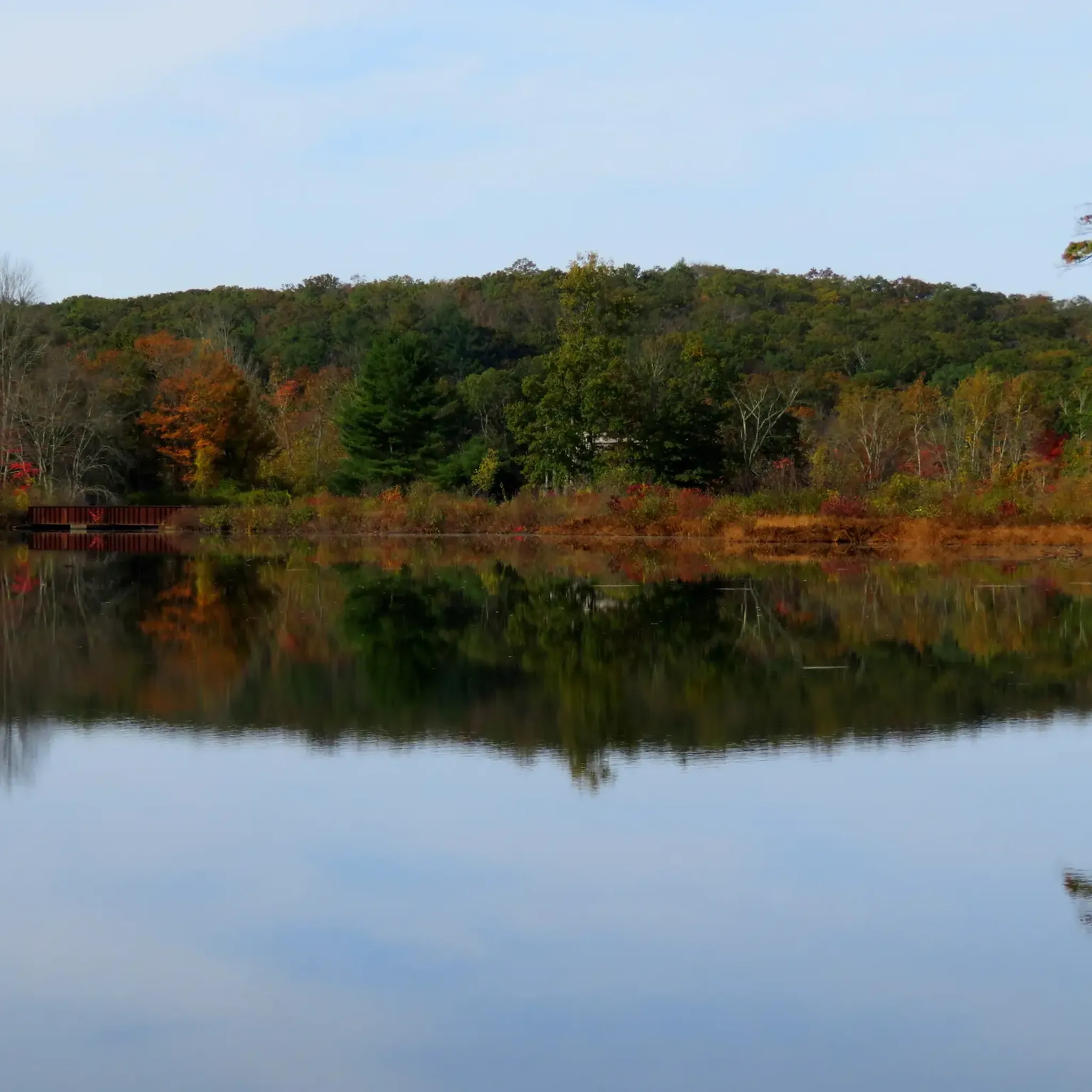
Cycling around Mechanicsville
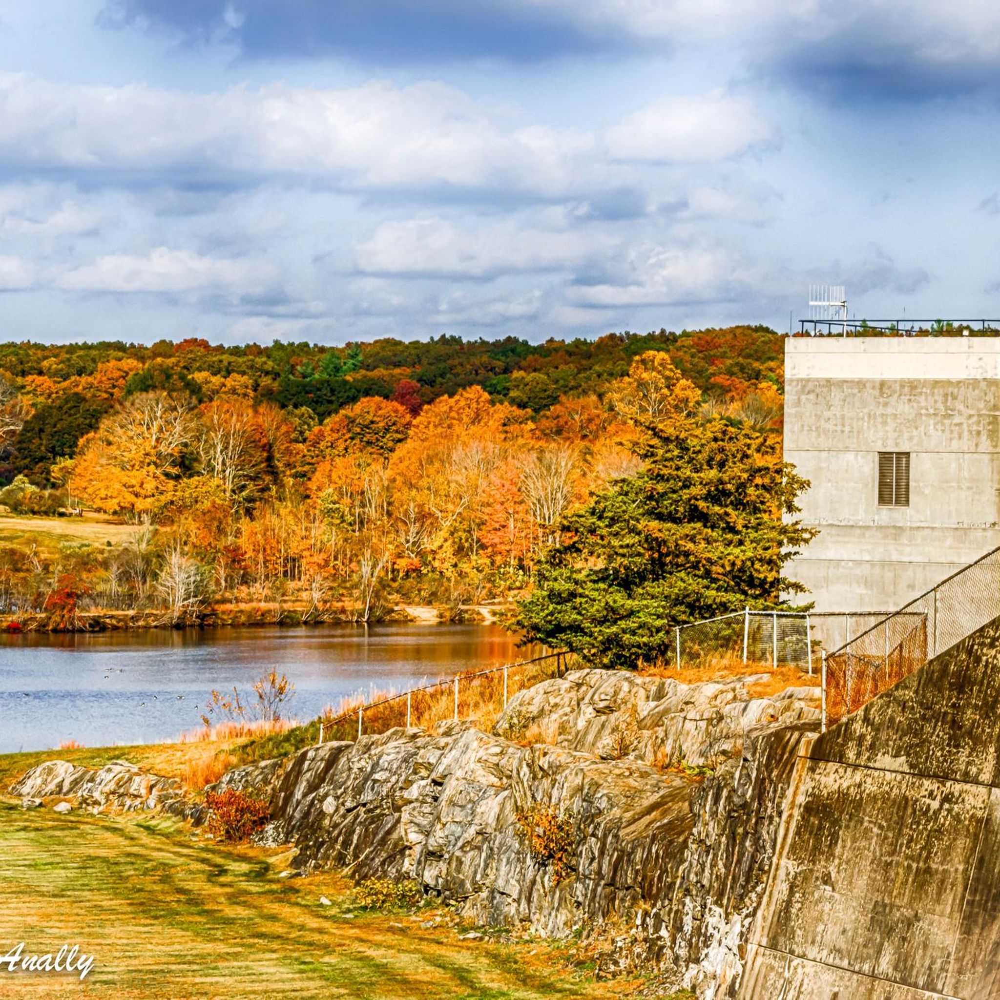
Cycling in West Thompson Dam Recreation Area
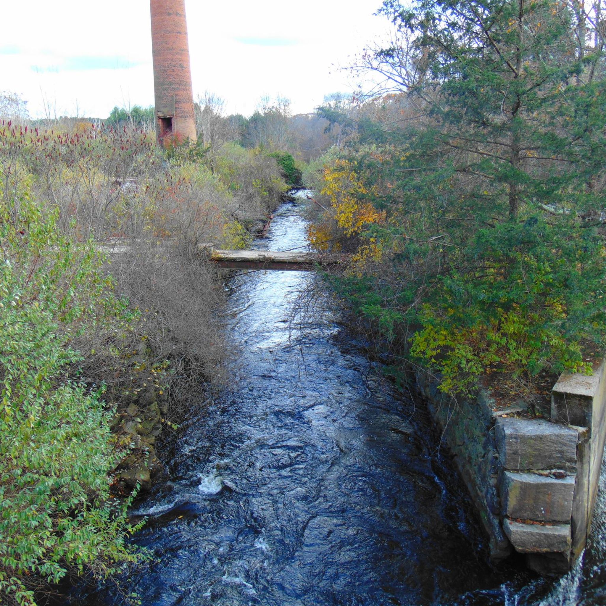
Cycling around North Grosvenor Dale

Cycling around Quinebaug
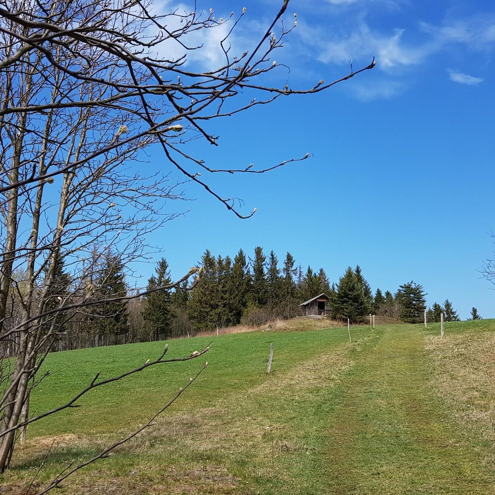
Cycling around East Brooklyn
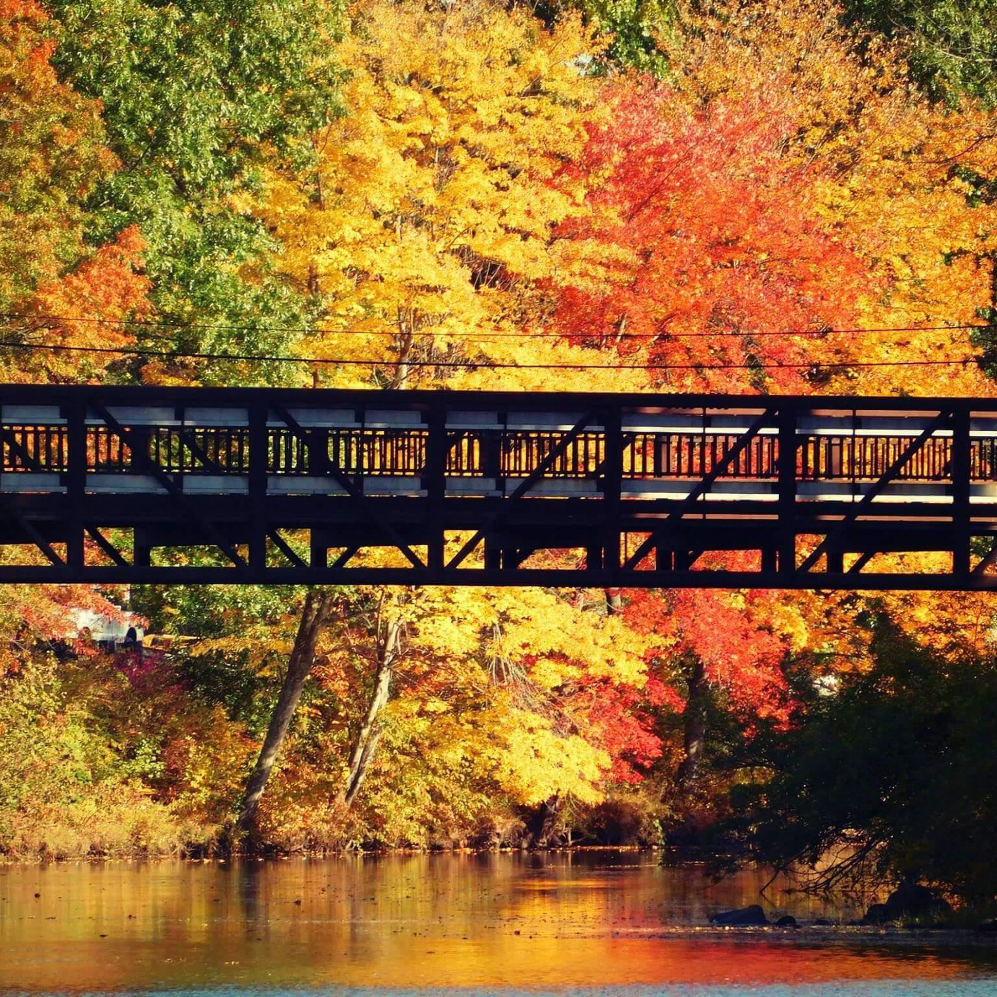
Cycling around Putnam
Other adventures in Northeastern Connecticut Planning Region

Tips from the Community

At the junction of the Airline Trail and Natchaug Trail in James L. Goodwin State Forest, hikers have two enticing options. Following the Natchaug Trail leads deeper into the forest, eventually reaching the serene Black Spruce Pond. Alternatively, continuing along the Airline Trail provides beautiful views of the 135-acre Pine Acres Lake. Both routes offer unique scenic experiences, showcasing the diverse beauty of the forest.
0
0

Gateway to many gnarly mtb trails and the gravel/dirt roads of eastern CT
0
0

The Quaddick Reservoir, spanning over 400 acres, is a man-made body of water that was once frequented by the Nipmuck Indians for fishing. It was formed by damming the Five Mile River. During the fall, this area becomes stunning as the trees change colors.
0
0

At Cargill Falls, you'll find a dam and cascades right in the heart of the city. From the Pomfret Bridge on US-44, you can see the wide dam and several flowing channels clearly. An island splits the Quinebaug River and the dam, creating a beautiful display of cascades below as the river rushes to reconnect.
0
0

The James L. Goodwin State Forest is a Connecticut state forest that spans around 2,000 acres. The land was donated by James L. Goodwin to the state in 1964. This forest can be seen along the East Coast Greenway near Pine Acres Lake.
0
0
This park runs alongside the Willimantic River, providing scenic views of the water. On the opposite side, there are train tracks where you can occasionally observe interesting carts passing by.
0
0
The Airline State Park Trail is divided into sections, and the northern section spans 21 miles from Windham to Putnam, making it a popular rail trail among hikers, runners, and bikers.
0
0
The East Coast Greenway is a paved multi-use path that passes through 15 states and is over 3,000 miles long from Maine to Florida.
0
0
Frequently Asked Questions
How many touring cycling routes are available in Northeastern Connecticut Planning Region?
Northeastern Connecticut Planning Region offers nearly 20 touring cycling routes, catering to various skill levels. These routes traverse tranquil rural landscapes, rolling hills, and lush forests, providing diverse experiences for cyclists.
Are there easy touring cycling routes suitable for beginners or families?
Yes, there are several easy routes perfect for beginners or family outings. For instance, the East Coast Greenway loop from Ann A. Wright Preserve is an easy 9.3-mile (14.9 km) path. Another accessible option is the Bike loop from Airline State Park Trail (Northern Section), which is about 5.4 miles (8.7 km) long.
What kind of terrain can I expect on touring cycling routes in Northeastern Connecticut?
The region's routes feature a mix of terrain. You'll find mostly flat rail trails, such as sections of the Air Line State Park Trail and the Putnam River Trail, ideal for smooth riding. Other routes incorporate rolling hills and paved roads, offering more challenging climbs and descents through scenic countryside and forests. Some segments, particularly on older rail trails, might be unpaved, suitable for bikes with wider tires.
Are there any long-distance touring cycling routes in the area?
Yes, for those seeking longer rides, the region offers routes that incorporate extensive sections of trails like the East Coast Greenway. The Easter Hill – West Thompson Dam loop from Quaddick State Forest is a challenging 64-mile (103 km) route, while the East Coast Greenway – James L. Goodwin State Forest loop from Ann A. Wright Preserve covers 34.1 miles (54.9 km).
What are some notable landmarks or attractions I can see along the cycling routes?
Many routes pass by or near interesting landmarks and natural features. You can explore the historic Danielson Main Street & Broad Street Historic District, ride along the scenic Putnam River Trail, or visit the James L. Goodwin State Forest. The region is also part of 'The Last Green Valley,' a National Heritage Corridor known for its preserved rural character.
Are there any circular touring cycling routes available?
Yes, many of the touring cycling routes in Northeastern Connecticut are designed as loops, allowing you to start and end at the same point. Examples include the West Thompson Dam – Putnam River Trail loop from Putnam, the Hop State Park Trail – Andover Memorial Bridge loop from Willimantic, and the Andover Memorial Bridge – Andover loop from Willimantic.
Can I find routes that include sections of the East Coast Greenway?
Absolutely. A significant portion of the East Coast Greenway passes through Northeastern Connecticut. Routes like the East Coast Greenway – James L. Goodwin State Forest loop from Willimantic and the East Coast Greenway loop from Hampton incorporate sections of this iconic long-distance trail, offering scenic rides through diverse landscapes.
What do other touring cyclists enjoy most about cycling in Northeastern Connecticut?
The touring cycling routes in Northeastern Connecticut are highly rated by the komoot community, with an average score of 5.0 stars from over 10 reviews. Cyclists often praise the tranquil rural atmosphere, the picturesque scenery of rolling hills and forests, and the variety of well-maintained rail trails and quiet country roads.
Are there any waterfalls along the touring cycling routes?
While the region is known for its rivers and waterways, specific waterfalls directly on touring cycling routes are less common. However, the Cargill Falls Reservoir is a notable water feature, and the area's natural beauty often includes scenic river views. Some sections of the Air Line State Park Trail are noted for passing occasional waterfalls.
What is the best season for touring cycling in Northeastern Connecticut?
Northeastern Connecticut is beautiful throughout the warmer months. Spring brings lush greenery, while summer offers pleasant temperatures. However, the fall foliage is particularly spectacular, making autumn an ideal time for scenic rides with vibrant shades of red and orange. Always check local weather conditions before heading out.
Are the touring cycling routes dog-friendly?
Many rail trails in Northeastern Connecticut, such as sections of the Air Line State Park Trail and Hop River State Trail, are generally dog-friendly, provided dogs are kept on a leash. However, it's always best to check specific trail regulations or park rules for the particular route you plan to ride to ensure compliance.
Are there places to eat or rest along the touring cycling routes?
The region is dotted with charming small towns like Putnam, Willimantic, and Danielson, which often feature local cafes, restaurants, and shops. Routes that pass through or near these towns, such as the West Thompson Dam – Putnam River Trail loop from Putnam, offer opportunities to stop for refreshments and explore historic districts.
Most popular routes in Northeastern Connecticut Planning Region
Most popular attractions in Northeastern Connecticut Planning Region

Get inspired with the komoot mobile app


Didn’t find what you were looking for?
Check out more Cycling routes throughout Northeastern Connecticut Planning Region below and find the perfect route in your destination.
Explore more
Browse the best Cycling routes in other regions.
