The best road cycling routes in Franklin County
3.0
(1)
532
riders
31
rides
Road cycling in Franklin County, Virginia, offers diverse terrain characterized by rural roads, scenic views, and connections to the iconic Blue Ridge Parkway. The landscape features rolling hills, river valleys, and areas around large bodies of water like Smith Mountain Lake. Cyclists can expect routes that traverse varied elevations, from gentle riverside paths to more challenging climbs.
Best road cycling routes in Franklin County
- The most popular road cycling route is Roanoke River Overlook to Mills Gap Overlook, a…
Last updated: July 2, 2026
24
riders
75.4km
04:08
1,380m
1,390m
Cycle 46.8 miles (75.4 km) from Roanoke River Overlook to Mills Gap Overlook, a difficult route on the Blue Ridge Parkway.
6
riders
21.2km
01:15
430m
430m
Cycle the moderate 13.2-mile Roanoke Mountain Loop Road from Roanoke River Overlook for challenging climbs and panoramic views.

Sign up for free
4
riders
25.1km
01:13
260m
260m
If you're seeking a reliable road cycling route in Roanoke, Virginia, the Bandy Road loop offers a smooth, fully paved experience. This route is characterized by its consistent elevation changes,…
34
riders
55.2km
02:54
780m
780m
Moderate road ride. Good fitness required. Some segments of this route may be unpaved and difficult to ride.
12
riders
34.5km
01:34
290m
290m
Moderate road ride. Great for any fitness level. Some segments of this route may be unpaved and difficult to ride.
14
riders
30.7km
01:42
440m
440m
Moderate road ride. Good fitness required. Mostly well-paved surfaces and easy to ride.
6
riders
Easy road ride. Great for any fitness level. Mostly well-paved surfaces and easy to ride.
3
riders
47.2km
02:55
1,130m
1,130m
Hard road ride. Very good fitness required. Some segments of this route may be unpaved and difficult to ride.
5
riders
88.9km
04:50
1,450m
1,450m
Hard road ride. Very good fitness required. Mostly well-paved surfaces and easy to ride.
3
riders
47.4km
02:22
520m
520m
Moderate road ride. Good fitness required. Mostly well-paved surfaces and easy to ride.
Get access to more routes and recommendations from other explorers.
Sign up for free
Already have an account?
Our route recommendations are based on thousands of hikes, rides, and runs completed by other people on komoot.
Start today with a free account
Your next adventure awaits.
Login or Signup




Tips from the Community

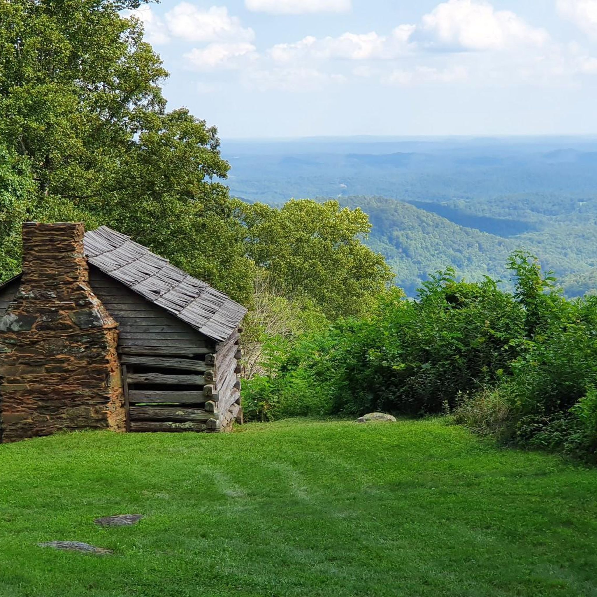
The Mills Gap Overlook is a short detour off of the Appalachian Trail, but it is definitely worth getting off the trail and stopping to enjoy the view. The viewpoint is also right where the Blue Ridge Parkway intersects with the trail, so there is a good chance you will see others enjoying this spot.
0
0

The Memorial Bridge of Roanoke supports the Roanoke River Greenway and has wide sidewalks on both sides of the car lanes that bikes use. The bridge has two-lane traffic and spans 785 feet across the Roanoke River. While riding here, pay attention and find all five plaques, with quotes from Patrick Henry, Theodore Roosevelt, Stonewall Jackson, and Thomas Jefferson. The last plaque has the names of World War I victims.
0
0

The greenway is an easily accessible multi-use trail that runs along the Roanoke River. There are multiple points of access and a number of nice parks along its route. It can get busy with cyclists, walkers, and runners though so be aware of your fellow trail users.
0
0
Explore Park consists of miles and miles of trails across hundreds of acres. You'll find rolling hills, meadows, river access, historical buildings, and dense woodlands. You'll have plenty to do whether you stop for just an hour or decide to spend the day.
0
0
Roanoke's City Market is the oldest continuously operating markets in Virginia, getting its start in 1882. In addition to the excellent food on offer the surrounding historic district is home to other attractions such as the Roanoke Pinball Museum.
0
0
The greenway is an easily accessible multi-use trail that runs along the Roanoke River. There are multiple points of access and a number of nice parks along its route. It can get busy with cyclists, walkers, and runners though so be aware of your fellow trail users.
0
0

Located at Milepost 110.6 on the Blue Ridge Parkway, Stewarts Knob Overlook offers a view of the city of Roanoke. The view is not the most picturesque on the parkway, but it does have ample parking and a bench. The view of the city is really the best one you'll get of Roanoke while on the parkway.
0
0
There's also a short hiking trail that goes to the actual summit of the mountain, but this road loop on the side of the mountain offers a few different viewpoints of the city and Mill and Stone Mountains.
0
0
Frequently Asked Questions
How many road cycling routes are available in Franklin County?
Franklin County offers a wide selection of road cycling routes, with over 30 options available on komoot. These routes cater to various skill levels, from easy loops to challenging climbs.
What kind of terrain will I encounter on road cycling routes in Franklin County?
Road cycling in Franklin County, Virginia, features diverse terrain. You can expect scenic rural roads with minimal traffic, rolling hills, and river valleys. Many routes also offer connections to the iconic Blue Ridge Parkway, providing varied elevations and beautiful views around bodies of water like Smith Mountain Lake.
Are there any easy road cycling routes suitable for beginners or families?
Yes, Franklin County has several easy road cycling routes. For instance, the Bandy Road loop is an easy 15.6-mile (25.1 km) trail with gentle hills. Another great option is the Roanoke River Greenway – Wasena Park loop from Riverdale, which is 15.2 km and features minimal elevation gain, making it ideal for a relaxed ride.
Where can I find challenging road cycling routes with significant elevation gain?
For those seeking a challenge, Franklin County offers routes with substantial climbs. The Roanoke River Overlook to Mills Gap Overlook route is a difficult 46.8-mile (75.4 km) ride with over 1,300 meters of elevation gain. Another demanding option is the Pine Spur Overlook loop from Barfoot, which spans 88.9 km and features over 1,400 meters of ascent.
Are there any scenic loop routes for road cycling in Franklin County?
Absolutely. Many routes in Franklin County are designed as loops, offering continuous scenic experiences. The Roanoke Mountain Loop Road from Roanoke River Overlook is a popular moderate 13.2-mile (21.2 km) loop with varied terrain and views. Another option is the Roadbike loop from Smith Mountain Lake State Park, offering a 34.5 km ride around the lake area.
What natural features or landmarks can I see along the road cycling routes?
Franklin County's road cycling routes often pass through picturesque rural landscapes, offering views of rolling hills, river valleys, and connections to the Blue Ridge Parkway. You'll also find routes near significant bodies of water like Smith Mountain Lake and the Pigg River, providing diverse natural scenery. While specific highlight links are not available, the region is known for its natural beauty.
What do other road cyclists enjoy most about road cycling in Franklin County?
The road cycling experience in Franklin County is highly rated by the komoot community, with an average score of 3.0 stars. Cyclists often praise the quiet rural roads, scenic views, and the variety of routes that cater to different ability levels, from gentle riverside paths to challenging mountain climbs.
Are there road cycling routes that connect to the Blue Ridge Parkway?
Yes, Franklin County is uniquely positioned with routes that connect to the iconic Blue Ridge Parkway. This allows cyclists to extend their rides onto one of America's most scenic drives, offering breathtaking views and challenging ascents.
Can I find routes that explore the area around Smith Mountain Lake?
Yes, the region around Smith Mountain Lake offers excellent road cycling opportunities. The Roadbike loop from Smith Mountain Lake State Park is a moderate 34.5 km route that allows you to explore the beautiful lake area and its surroundings.
Are there any routes near the Pigg River?
Yes, you can find road cycling routes that explore the Pigg River area. The Roadbike loop from Pigg River is a moderate 30.7 km route that takes you through this scenic part of Franklin County.
What is the best time of year for road biking in Franklin County?
While specific seasonal data isn't provided, Franklin County's diverse landscapes, including rural roads and connections to the Blue Ridge Parkway, suggest that spring and fall would offer the most pleasant conditions for road cycling. These seasons typically provide mild temperatures and vibrant scenery, avoiding the heat of summer and potential winter weather.
Are there any routes that offer views of the Roanoke River?
Yes, several routes in Franklin County provide views and access to the Roanoke River. The Roanoke River Greenway – Wasena Park loop from Riverdale is an easy route that follows the river, and the Roanoke River Overlook to Mills Gap Overlook route also features the river in its name, indicating scenic points along its course.
Most popular routes in Franklin County

Get inspired with the komoot mobile app


Didn’t find what you were looking for?
Check out more Road cycling routes throughout Franklin County below and find the perfect route in your destination.
Explore more
Browse the best Road cycling routes in other regions.
