The best road cycling routes in Burlington County
4.1
(64)
989
riders
33
rides
Road cycling routes in Burlington County, New Jersey, are characterized by generally flat terrain, making them accessible for various skill levels. The region features diverse landscapes, including the unique Pinelands, historic towns, and agricultural areas. Many routes utilize low-traffic roads and often follow the Delaware River or pass through state forests. The county's topography provides a suitable environment for extended rides with minimal elevation changes.
Best road cycling routes in Burlington County
- The most popular road cycling route is Roadbike…
Last updated: October 2, 2026
17
riders
38.1km
01:27
60m
60m
Easy road ride. Great for any fitness level. Mostly well-paved surfaces and easy to ride.
16
riders
40.5km
01:39
120m
120m
Easy road ride. Great for any fitness level. Mostly well-paved surfaces and easy to ride.

5.0
(1)
23
riders
27.1km
01:15
150m
150m
Moderate road ride. Great for any fitness level. Some segments of this route may be unpaved and difficult to ride.
5.0
(1)
14
riders
95.6km
04:16
210m
210m
Moderate road ride. Good fitness required. Some segments of this route may be unpaved and difficult to ride.
5.0
(1)
15
riders
35.3km
01:32
160m
160m
Moderate road ride. Great for any fitness level. Some segments of this route may be unpaved and difficult to ride.
5.0
(5)
7
riders
58.6km
02:22
190m
190m
Moderate road ride. Good fitness required. Mostly well-paved surfaces and easy to ride.
3.0
(1)
9
riders
25.6km
01:04
110m
110m
Easy road ride. Great for any fitness level. Mostly well-paved surfaces and easy to ride.
8
riders
48.0km
02:03
220m
220m
Moderate road ride. Good fitness required. Mostly well-paved surfaces and easy to ride.
6
riders
54.7km
02:17
130m
130m
Moderate road ride. Good fitness required. Mostly well-paved surfaces and easy to ride.
6
riders
77.4km
03:04
210m
210m
Moderate road ride. Good fitness required. Mostly well-paved surfaces and easy to ride.
Get access to more routes and recommendations from other explorers.
Already have an account?
Our route recommendations are based on thousands of hikes, rides, and runs completed by other people on komoot.
Start today with a free account
Your next adventure awaits.
Popular around Burlington County
Road Cycling Routes around Palmyra
Road Cycling Routes around Bordentown
Road Cycling Routes around Riverton

Road Cycling Routes around Medford Lakes
Road Cycling Routes around Moorestown-Lenola
Road Cycling Routes around Marlton

Road Cycling Routes in Rancocas State Park
Road Cycling Routes in Brendan T. Byrne State Forest
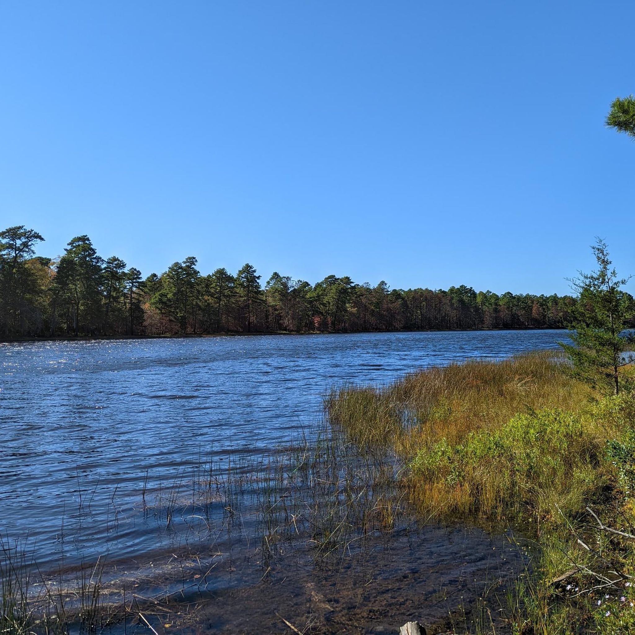
Road Cycling Routes in Wharton State Forest
Road Cycling Routes around Ramblewood
Other adventures in Burlington County

Tips from the Community

A twelve-foot stone pillar honors pilot Emilio Carranza, who crashed on his way home to Mexico after a goodwill flight over New York City in 1928. Carranza was returning Charles Lindbergh's goodwill flight over Mexico City from the previous year when he was caught in a thunderstorm over the pine barrens.
0
0

From this spot you get lovely views over the scenic Atsion Lake. This man-made lake is located in Wharton State Forest, in the Pine Barrens region of Atsion, New Jersey. The name "Atsion" originates from the Lenni Lenape Unami language, referring to the cedar-colored stream called Atsayunk or Atsiunc.
0
0

This bridge offers pedestrians and cyclists a safe and scenic passage over the creek, enhancing the overall experience of exploring the canal towpath. As part of the D&R Canal State Park, the footbridge is a popular spot for outdoor enthusiasts to enjoy the surrounding natural environment while traversing this historic waterway.
0
0

Atsion Lake is a man-made lake in Wharton State Forest, formed by a dammed portion of the Mullica River, covering close to 100 acres. It's a popular place for boating, fishing, swimming, and camping.
0
0
Birchwood Lake was created by the Birchwood Lake Dam, which separates Birchwood Lake and Timber Lake. The lake has a beach and clubhouse, but access is only for members of Birchwood Lake Colony Club.
0
0
The Delaware River, at over 280 miles in length, is the longest free-flowing river in the Eastern United States. It provides drinking water for 17 million people and is well-known for its fishing opportunities.
0
0
Atsion Lake is a man-made lake in Wharton State Forest, formed by a dammed portion of the Mullica River, covering close to 100 acres. It's a popular place for boating, fishing, swimming, and camping.
1
0
Birchwood Lake was created by the Birchwood Lake Dam, which separates Birchwood Lake and Timber Lake. The lake has a beach and clubhouse, but access is only for members of Birchwood Lake Colony Club.
0
0
Frequently Asked Questions
What is the general terrain like for road cycling in Burlington County?
Burlington County offers generally flat terrain, making it ideal for road cyclists of varying skill levels. The routes often utilize low-traffic roads and pass through diverse landscapes, including historic towns, agricultural areas, and the unique Pinelands.
How many road cycling routes are available in Burlington County?
There are over 35 road cycling routes available in Burlington County on komoot. These include 16 easy routes and 19 moderate routes, offering options for different ability levels.
Are there any family-friendly road cycling routes in Burlington County?
Yes, Burlington County's generally flat terrain is well-suited for family-friendly rides. Routes like the Roadbike loop from Rowan College at Burlington County are classified as easy and traverse the county's gentle landscape, making them suitable for families.
What kind of scenic views can I expect on road cycling routes in Burlington County?
Road cycling routes in Burlington County offer diverse scenic views. You can expect to ride along the Delaware River, through the unique Pinelands ecosystem, past cranberry bogs, and through historic towns and farmlands. Many routes also pass through state forests like Brendan T. Byrne State Forest and Wharton State Forest.
Are there any circular road cycling routes in Burlington County?
Yes, many road cycling routes in Burlington County are designed as loops. For example, the Atsion Lake – Atsion Lake loop from Atsion Lake offers views of Atsion Lake and the surrounding Pinelands scenery, while the Delaware River loop from Bordentown provides scenic river views.
What natural features or landmarks can I see along the road cycling routes?
Burlington County's routes often pass by significant natural features and landmarks. You might encounter the unique Pinelands National Reserve, which is home to diverse wildlife and cranberry bogs. Notable lakes like Atsion Lake and Pakim Pond are also accessible. State forests such as Brendan T. Byrne State Forest and Franklin Parker Preserve offer beautiful forest scenery.
Are there any historical sites or attractions near the road cycling routes?
Yes, Burlington County is rich in history. You can find routes that pass through historic towns and near sites like Historic Smithville Village, the Burlington County Prison Museum, and the historic city of Burlington. Batsto Village, a preserved 19th-century industrial village, is also a notable historical attraction in the region.
What is the best time of year for road cycling in Burlington County?
The spring and fall seasons generally offer the most pleasant weather for road cycling in Burlington County, with mild temperatures and beautiful foliage. Summer can be warm and humid, while winter may bring colder temperatures and potential for snow or ice, though many routes remain accessible year-round.
Where can I find more information about the Burlington County Bikeways?
The Burlington County Bikeways are designed for quality bicycle touring, often using low-traffic roads. You can find detailed maps and information about these routes, including the 'Burlington 'Star Bicycle Factory Loop'' and the 'Burlington Pinelands Loop', on the official New Jersey Department of Transportation website: Burlington County Bikeways Map.
What do other road cyclists enjoy most about road cycling in Burlington County?
The area is highly rated by the komoot community, with an average score of 4.7 stars from over 10 reviews. Reviewers often praise the region's generally flat and accessible terrain, the scenic diversity of the routes, and the opportunity to explore both natural landscapes and historic areas.
Are there any longer, more challenging road cycling routes available?
While Burlington County is known for its flat terrain, there are longer routes that offer a greater challenge in terms of distance. For instance, the Atsion Lake – Atsion Lake loop from Pemberton is a moderate 95.6 km (59.4 miles) ride, providing a longer endurance test through the Pinelands.
Can I find routes that combine urban and rural landscapes?
Yes, routes like the Mount Laurel loop from Masonville offer a mix of suburban and rural scenery, allowing cyclists to experience the varied character of Burlington County.
Most popular routes in Burlington County
Most popular attractions in Burlington County

Get inspired with the komoot mobile app


Didn’t find what you were looking for?
Check out more Road cycling routes throughout Burlington County below and find the perfect route in your destination.
Explore more
Browse the best Road cycling routes in other regions.
