The best walks and hikes in Burlington County
4.3
(41)
786
hikers
61
hikes
Hiking in Burlington County offers diverse natural features across its park systems and preserved areas. The region is characterized by the unique Pine Barrens ecosystem, featuring pine and oak forests, wetlands, and sandy soils. Trails also wind through deciduous forests, open grasslands, and along waterways like the Rancocas Creek and Mullica River. While generally flat, some areas present minimal elevation changes, such as Arney's Mount.
Best hiking trails in Burlington County
- The most popular hiking route is Peaceful Partners Trail and Long Path Loop, a 3.3 miles (5.2 km) trail that takes 1 hour 20 minutes to complete. This easy route explores the unique ecosystem of Black Run Preserve.
- Another top favourite among local hikers is 1808, Sand and Water, and Batona Trail Loop, a moderate 5.5 miles (8.9 km) path. This trail navigates through pine and oak forests within the Pine Barrens.
- Local hikers also love the Batsto White Trail, a 4.0 miles (6.5 km) trail leading through pine barrens and wetlands, often completed in about 1 hour 40 minutes.
- Hiking in Burlington County is defined by pine and oak forests, extensive wetlands, and scenic river paths. The network offers options for various ability levels, from easy strolls to moderate excursions.
- The routes in Burlington County are highly rated by the komoot community with an average score of 4.2 stars from over 10 reviews. More than 300 hikers have used komoot to explore Burlington County's varied terrain.
Last updated: September 27, 2026
4.0
(2)
27
hikers
6.49km
01:40
30m
30m
Embark on the easy Batsto White Trail, a 4.0 miles (6.5 km) hike that takes about 1 hours and 40 minutes to complete. You will experience a gentle elevation gain of 99 feet (30 metres) as you wander through distinctive South Jersey Pine Barrens. The route offers picturesque views of Batsto Lake and glimpses of the Batsto River, winding through upland pine-oak forests and Atlantic white cedar swamps with their unique short, twisted trees and glistening white sand.
Planning your visit is straightforward, as the trailhead is conveniently located near the Batsto Village parking lot. This makes it easy to access the start of your adventure. Consider combining your hike with exploring the historic Batsto Village, a restored 19th-century community, either before or after your walk.
This trail provides a wonderful opportunity to immerse yourself in the unique ecosystem of the Pine Barrens. Keep an eye out for local wildlife, such as white-tailed deer or great blue herons, which are often spotted in this area. The trail's setting within Wharton State Forest highlights the region's natural beauty and historical significance.
2
hikers
1.89km
00:29
0m
0m
The Atsion Lake Blue Trail offers a delightful, easy stroll through the unique New Jersey Pinelands, showcasing picturesque views of Atsion Lake and its cedar-tinted waters. You'll wander along smooth, graded gravel paths that wind through lakeside forests and marsh areas, providing a serene outdoor experience. Keep an eye out for diverse Pinelands flora like pitcher plants and mountain laurel, and listen for the sounds of various bird species near the water's edge.
This 1.2-mile (1.9 km) loop is incredibly accessible, with a minimal 9 feet (3 metres) of elevation gain, making it an easy hike that takes about 28 minutes to complete. It's an excellent option for families, those with pets, and is notably wheelchair accessible. Parking, picnic tables, and bathrooms are conveniently available at the Atsion Recreation Area, making it simple to plan your visit.
Beyond the trail, the Atsion Recreation Area provides opportunities for swimming and sunbathing in Atsion Lake during the warmer months, extending your outing. The open understory of the pine and oak forests along the trail also offers good visibility for wildlife watching, with frogs, rabbits, and various bird species often spotted. It's a perfect introduction to the natural features of the Pinelands.

3
hikers
3.05km
00:47
10m
10m
Embark on the Long Bridge Park Full Loop, an easy hiking route that offers a unique urban-natural experience. This paved trail spans 1.9 miles (3.1 km) with a gentle elevation gain of just 43 feet (13 metres), making it perfect for a quick outing. You can expect to complete the loop in about 46 minutes, enjoying views of the Potomac River and the Roaches Run Waterfowl Sanctuary. Keep an eye out for the striking 'Wave Arbor' public art installation and the dynamic scene of planes taking off from the nearby airport. It's a refreshing escape where you might spot diverse wildlife alongside city landmarks.
Accessing the Long Bridge Park Full Loop is straightforward, as it's conveniently located near major urban areas. You'll generally find parking available, making it easy to start your hike. This route is known for being very family-friendly, welcoming strollers and wheelchairs on its paved surfaces. If you're bringing your furry friend, you'll appreciate that the park is dog-friendly and even features a dedicated dog water fountain. It's an ideal spot for a spontaneous walk any time of day.
What makes this loop stand out is its blend of natural beauty and urban activity. As you hike, you'll not only see the tranquil waters of the Potomac and the sanctuary but also catch glimpses of national monuments in the distance. The trail offers a dynamic setting where you might observe birds, trains, and planes all within a single visit, providing a constantly changing backdrop to your walk.
2
hikers
3.73km
00:56
0m
0m
The Pompeston Creek Trail is an easy 2.3-mile (3.7 km) hike that offers a surprising variety of scenery for its short length. You'll follow the creek, enjoying the sounds of flowing water, as the path alternates between paved sections and natural, packed earth. Look for lush ferns in the wooded corridors and enjoy the open sky as you pass through "Square Field." With only 16 feet (5 metres) of elevation gain, this route is perfect for a leisurely 56-minute stroll.
Planning your visit is straightforward, as the trail is generally accessible and family-friendly, with paved sections suitable for strollers. If you're bringing a dog, remember to keep them on a leash to protect the local wildlife. Be mindful that after heavy rains, some natural sections, especially near creek crossings, can become muddy and the single rock-hop might be slippery. It's a great trail to visit year-round, with seasonal changes adding to its charm.
This trail is a fantastic spot for wildlife viewing, with deer, turtles, and various bird species commonly observed, alongside beavers, raccoons, and muskrats. It's part of Pompeston Park, an open space preserved through local conservation efforts, highlighting its importance as a vital stream and wildlife corridor. The trail's integration with residential areas gives it a unique, cherished local feel, making it a true neighborhood gem.
1
hikers
15.1km
03:48
20m
10m
The Mullica River Trail offers a deep dive into the unique ecosystem of the Pine Barrens, providing a sense of true wilderness. You'll traverse sandy paths under dense pine canopies, catch glimpses of the cedar-stained Mullica River, and experience the quiet solitude of this distinct landscape. It's a moderate 9.4-mile (15.1 km) hike with a minimal 66 feet (20 metres) of elevation gain, making it an accessible adventure for nearly four hours of walking.
Accessing the trail is generally easy, with clear yellow blazes guiding your way. However, it's important to note that parts of the trail can be temporarily closed for controlled burns, so always check for updates before you go. Ticks are also a consideration in this natural environment, so prepare accordingly. The trail's flat profile makes it a good option for a day hike in most seasons.
This route is a prime example of the Pine Barrens'
4
hikers
8.86km
02:14
20m
20m
If you're eager to explore the diverse landscapes of New Jersey's Pine Barrens, the 1808, Sand and Water, and Batona Trail Loop offers a fantastic experience. This moderate 5.5-mile (8.9 km) hike guides you through a captivating mix of Atlantic white cedar swamps, dense pine forests, and open meadows, with sections of sandy forest roads and boardwalks over wetlands. You'll encounter unique flora like mountain laurel forming natural tunnels and might even spot charred trees from a past forest fire, adding a distinct atmosphere to the journey.
Planning your visit is straightforward for this accessible route, which typically takes around 2 hours and 14 minutes to complete. With only 53 feet (16 metres) of elevation gain, it's an ideal choice for a leisurely day hike suitable for most fitness levels. While specific parking information isn't detailed, the trail is well-marked and best enjoyed during the cooler months of spring or fall, though summer offers the bonus of wild blueberries and huckleberries.
What makes this loop truly special is its blend of ecological diversity and historical significance. The 1808 Trail follows an old logging road, connecting you to the region's past, while the Batona Trail, meaning "Back to Nature," highlights the preserved wilderness of the Pinelands National Reserve. Keep an eye out for unique wildlife, including white-tailed deer and various bird species, making it a rewarding experience for nature enthusiasts.
2
hikers
3.02km
00:46
10m
10m
Step into an otherworldly landscape on the Atlantic White Cedar Trail, an easy 1.9-mile (3.0 km) hike that takes about 45 minutes to complete. You'll gain a gentle 21 feet (6 metres) as you explore this unique loop. The highlight is an elevated wooden boardwalk guiding you directly through a rare Atlantic white cedar swamp. Here, towering cedar trees create a cool, damp atmosphere. You might spot mosses, ferns, and even orchids thriving in this enchanting setting. The dark, tannin-rich swamp waters add to the magical feel, especially where sunlight barely penetrates. This trail offers a unique experience often compared to a Pacific Northwest temperate rainforest.
When you plan your visit, remember that pets are not allowed on the Atlantic White Cedar Trail to protect its delicate ecosystem. Be prepared for mosquitoes and ticks, especially in the swampy areas with standing water. The trail begins with a gradual descent, and the return path includes a sandy section. Good footwear is recommended to comfortably navigate these varied surfaces.
This trail is notable for its rare Atlantic white cedar swamp, a unique ecosystem within Wharton State Forest, New Jersey. The elevated boardwalk allows you to immerse yourself in this fragile environment without disturbing the delicate flora. It's a chance to experience a distinct natural habitat that stands out in the region.
1
hikers
24.9km
06:20
70m
70m
Embark on the Penn Branch Trail for a challenging hiking experience through the unique Pinelands landscape. This difficult route stretches for 15.5 miles (24.9 km), guiding you through distinctive sand and pine forests characteristic of the Pine Barrens. You will encounter primarily singletrack paths with twisty sections and some sandy areas, gaining 222 feet (68 metres) of elevation over an estimated 6 hours and 19 minutes. Keep an eye out for the occasional log over, adding to the immersive feel of this ecosystem.
When planning your visit, you will find the trailhead conveniently located at the back of the Batsto Village parking lot. Given the trail's considerable length, be prepared for the journey, as there are not many convenient bailout points along the Orange Trail. If you plan to hike during spring or summer, especially in late August, remember to bring bug repellent to protect yourself from ticks and chiggers.
This route, often referred to as the Orange Trail, offers a true immersion into the unique Pinelands ecosystem. It stands out in Wharton State Forest for its distinctive blend of sand and pine forests, providing a challenging yet rewarding adventure for hikers seeking to explore the heart of the Pine Barrens.
1
hikers
6.75km
01:44
40m
10m
The Batona Trail: Carranza Memorial to Apple Pie Hill offers a distinct hiking experience through the New Jersey Pine Barrens. This easy 4.2-mile (6.8 km) route, with only 129 feet (39 metres) of elevation gain, takes about 1 hour and 43 minutes to complete. You'll traverse sandy paths and wind through picturesque cedar swamps on boardwalks, passing the unique Carranza Memorial before reaching Apple Pie Hill, the highest point in the Pine Barrens.
Planning your visit means preparing for sandy terrain and potential sun exposure, so bring plenty of water and sun protection. While the trail is well-marked, the sandy conditions can make it feel a bit more strenuous than its easy rating suggests. The main draw is the fire tower on Apple Pie Hill, which, when open, provides expansive views of the surrounding pine forests, and even distant city skylines on clear days.
This section of the Batona Trail is notable for its blend of natural beauty and historical significance, marking the site of a tragic aviation accident at the Carranza Memorial. The trail is dog-friendly, making it a great option for a leisurely walk with your canine companion. In August, you might even find wild blueberry bushes lining the path, offering a sweet treat.
1
hikers
1.71km
00:26
0m
0m
The Tom's Pond Trail offers a delightful and accessible journey through the unique Pinelands ecosystem. This easy 1.1-mile (1.7 km) hike, with a mere 9 feet (3 metres) of elevation gain, takes about 25 minutes to complete, making it ideal for a quick nature fix. You'll wander through dry pine-oak forests, traverse sandy paths, and experience the distinct atmosphere of Atlantic white cedar swamps, all while enjoying views of the Mullica River and crossing it via a charming footbridge. The Tom's Pond Trail terrain is predominantly flat and soft underfoot, perfect for a leisurely stroll.
Planning your visit is simple, as parking is readily available at the nearby historic Batsto Village, though walking from the main visitor center adds about a mile to your trek. The trail is clearly marked with orange blazes, ensuring easy navigation. Be mindful of seasonal conditions; ticks, chiggers, and mosquitoes are common in warmer months, so pack repellent. For the most comfortable experience, the best time to visit Tom's Pond Trail is during the cooler, drier seasons like spring or fall.
What makes this trail particularly special is its ability to showcase a wide array of Pine Barrens habitats in such a short distance. Located within Wharton State Forest, it provides a fantastic opportunity to combine your outdoor adventure with a cultural experience by exploring the restored 19th-century Batsto Village. You can also extend your outing by connecting to other nearby routes like the Mullica River Trail, offering more options for exploration.
Get access to more routes and recommendations from other explorers.
Already have an account?
Our route recommendations are based on thousands of hikes, rides, and runs completed by other people on komoot.
Start today with a free account
Your next adventure awaits.
Popular around Burlington County





Other adventures in Burlington County

Tips from the Community

A twelve-foot stone pillar honors pilot Emilio Carranza, who crashed on his way home to Mexico after a goodwill flight over New York City in 1928. Carranza was returning Charles Lindbergh's goodwill flight over Mexico City from the previous year when he was caught in a thunderstorm over the pine barrens.
0
0
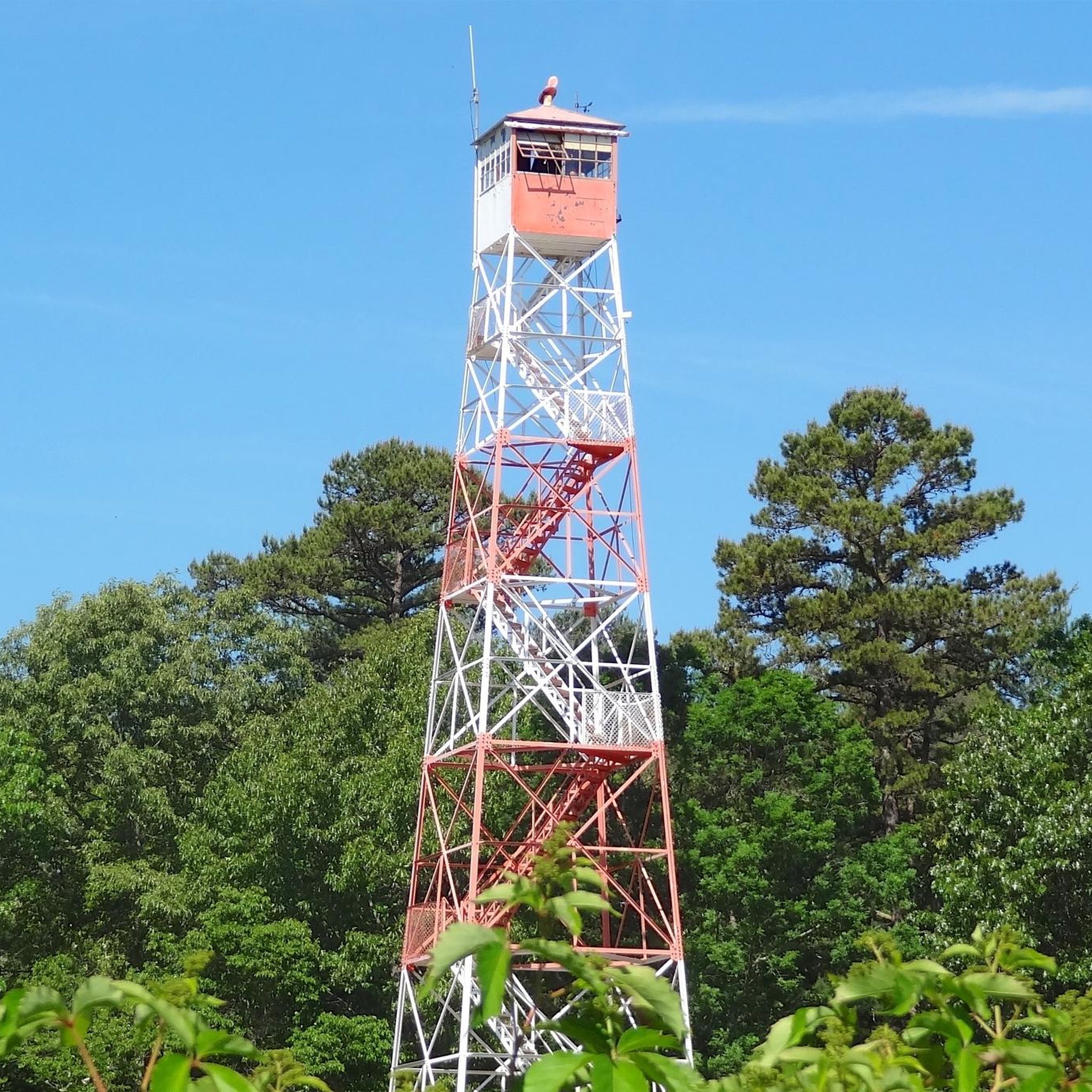
This is a great picnic spot with a table in view of the tower. The fire tower is fenced in around the base and closed when not on fire watch.
0
0
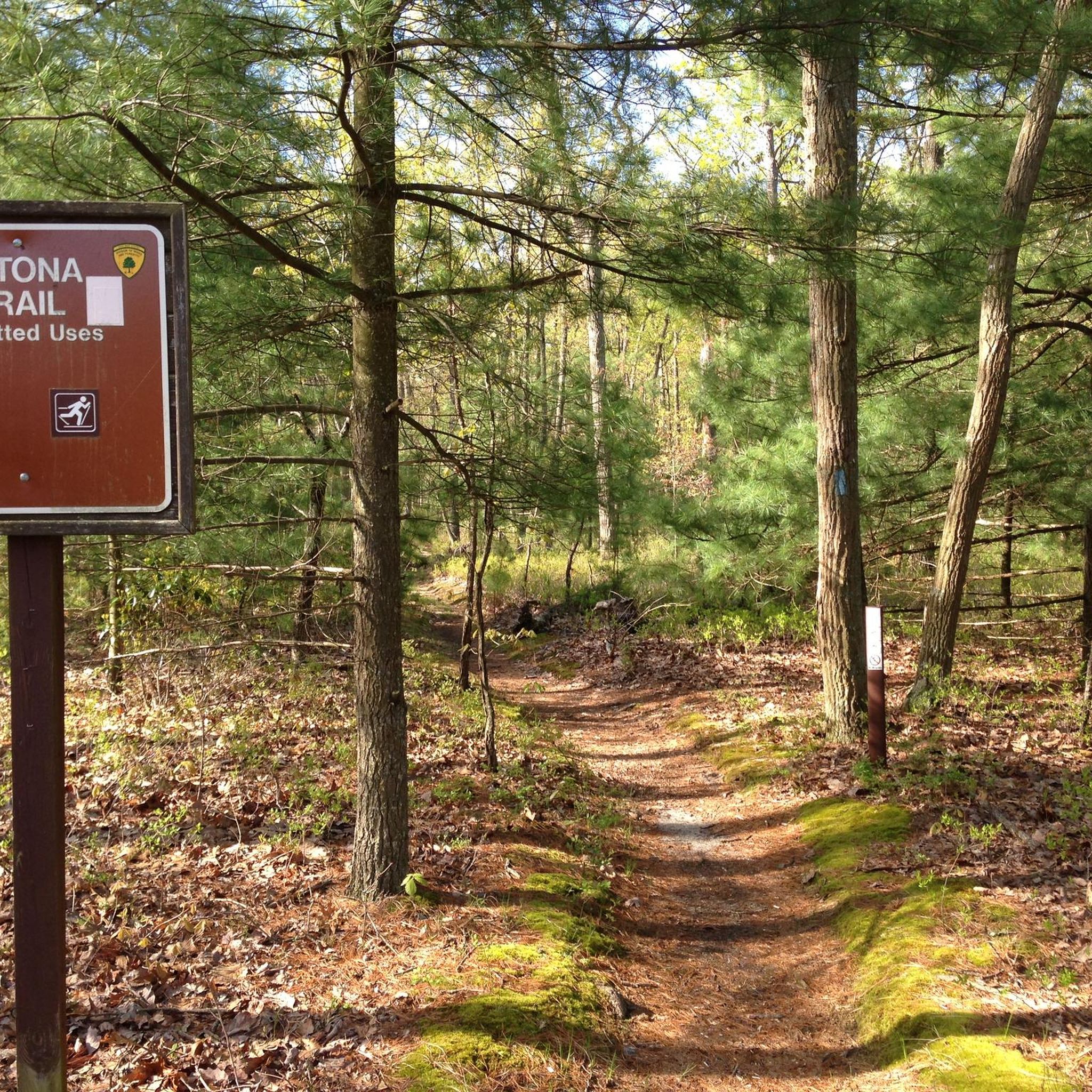
This accessible primitive campground has no water sources, but there is a vault toilet. The six spaces are all along the east side of the loop and are open to tent or RV camping. You can reserve ahead at https://www.njportal.com/DEP/NJOutdoors/Park/Search; the cost is $3 for New Jersey residents and $5 for non-residents. All sites are pet-friendly and you can add a pet for $5 when making the reservation.
0
0

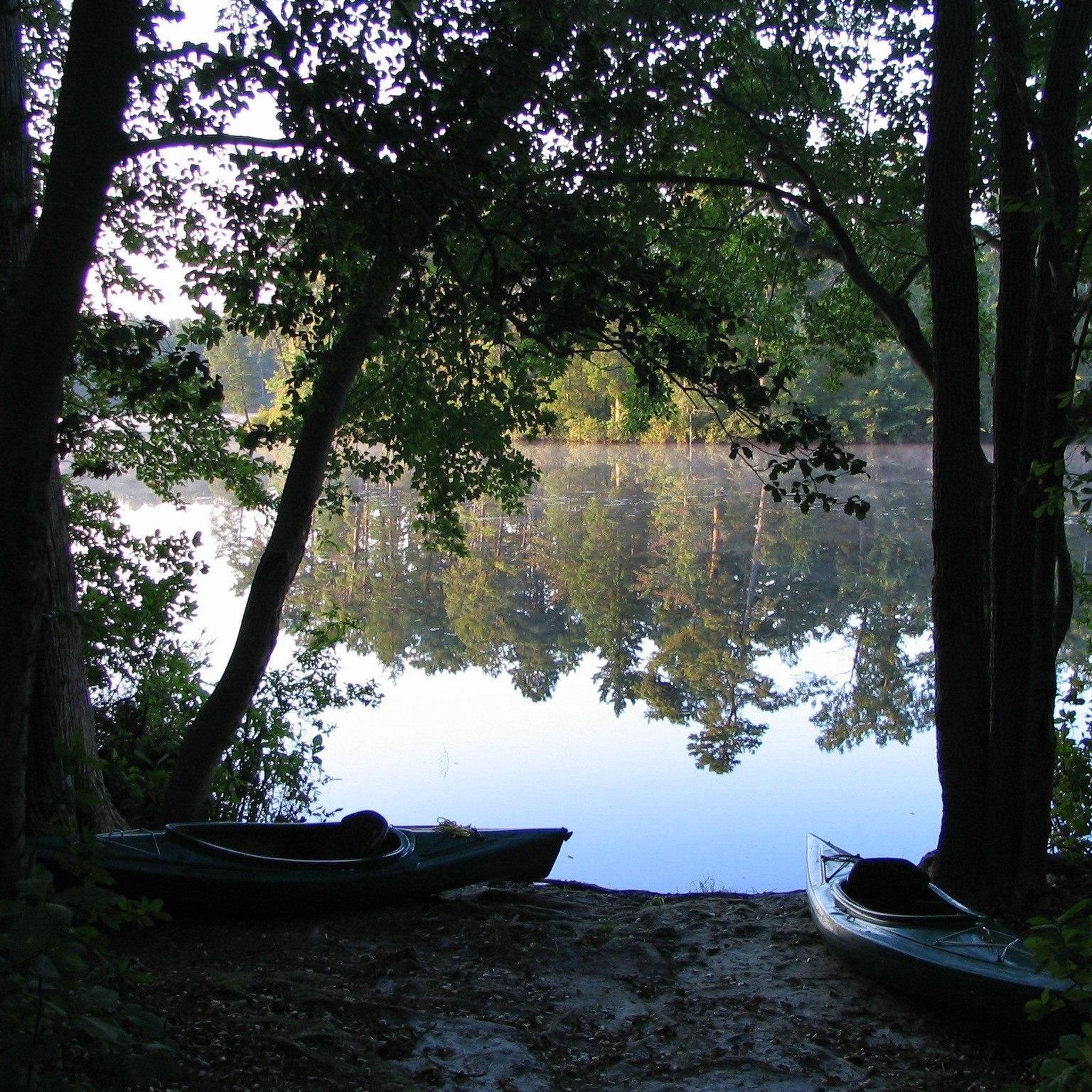
Known for its serene lake, the area offers swimming, boating, and fishing opportunities during the summer months. Visitors can also enjoy picnicking, exploring nature trails, and playing in the playground. The surrounding forest provides a picturesque backdrop for outdoor activities such as hiking, biking, and birdwatching.
0
0
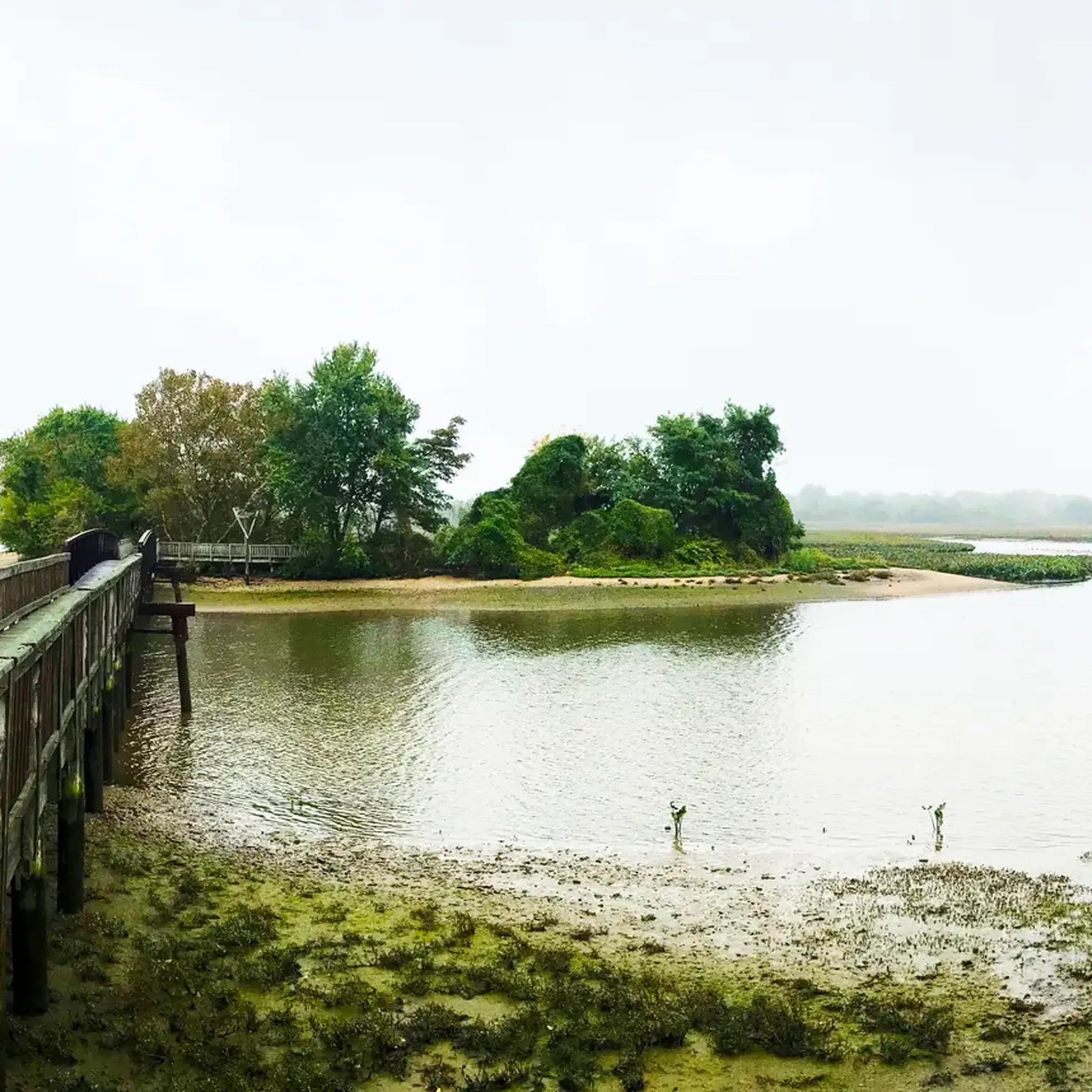
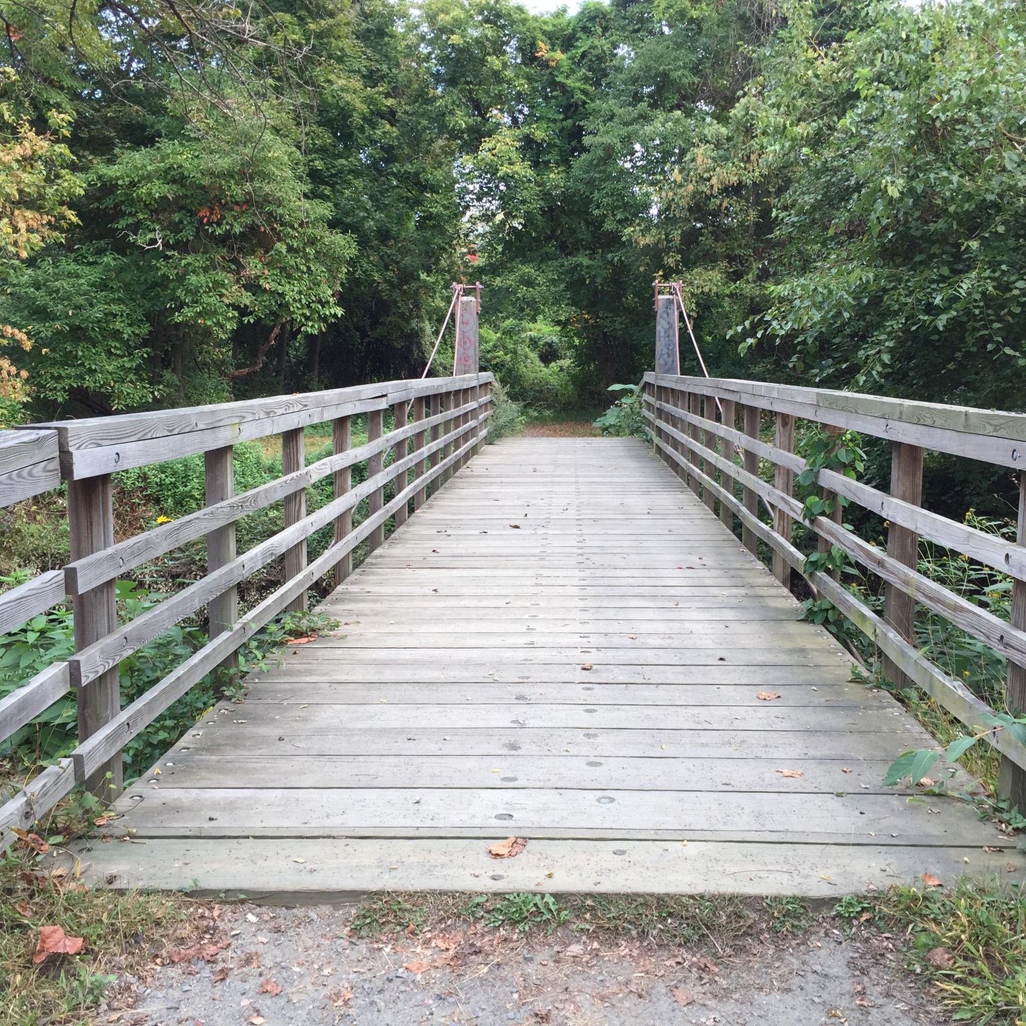
This short bridge going over Mechescatauxin Creek allows you to admire the beauty of this peaceful tributary to Mullica River, as you enjoy a serene escape into the heart of the Pine Barrens.
0
0
Frequently Asked Questions
How many hiking trails are available in Burlington County?
Burlington County offers a wide variety of hiking experiences, with over 30 routes documented on komoot. These range from easy strolls to more challenging excursions, catering to different skill levels.
Are there easy hiking trails suitable for beginners or families?
Yes, Burlington County has many easy trails perfect for beginners and families. Out of the 36 routes, 23 are rated as easy. A great option is the Creekside Trail loop — Rancocas State Park, which is 3.1 miles long and leads through forests and along the Rancocas Creek. Another family-friendly choice is the Peaceful Partners Trail & Long Path loop — Black Run Preserve, an easy 3.3-mile route exploring a unique ecosystem.
What kind of terrain can I expect on Burlington County hiking trails?
The terrain in Burlington County is quite diverse. A significant portion lies within the New Jersey Pine Barrens, featuring unique pine and oak forests, wetlands, and sandy soils. You'll also find trails winding through deciduous forests, open grasslands, and along waterways like the Rancocas Creek and Mullica River. While generally flat, some areas like Arney's Mount Park offer slight elevation changes.
Are there any trails with notable elevation changes for a more challenging hike?
While Burlington County is generally known for its flatter trails, some routes offer more significant distances and moderate elevation gains. For a more challenging experience, consider the Pakim Pond via Batona Trail — Brendan T. Byrne State Forest, which is a difficult 16.7-mile route with an elevation gain of about 220 feet (67 meters).
What interesting landmarks or natural features can I see along the hiking trails?
Burlington County's trails offer several points of interest. You can explore the unique Pine Barrens ecosystem in areas like Wharton State Forest and Brendan T. Byrne State Forest. Many trails follow rivers and creeks, providing opportunities for birdwatching. Notable attractions include Atsion Lake and Pakim Pond, both popular spots for recreation. Historic sites like Batsto Village in Wharton State Forest also offer a glimpse into the region's past.
Are there many circular hiking routes in Burlington County?
Yes, many of the hiking routes in Burlington County are designed as loops, offering convenient starting and ending points. Examples include the Red Footpath loop — Franklin Parker Preserve and the Harrisville Lake loop — Wharton State Forest.
Can I bring my dog on the hiking trails in Burlington County?
Generally, dogs are welcome on many hiking trails in Burlington County, provided they are kept on a leash. However, it's always recommended to check the specific rules and regulations of individual parks or preserves before your visit, as policies can vary.
What do other hikers enjoy most about hiking in Burlington County?
The hiking experiences in Burlington County are highly rated by the komoot community, with an average score of 4.3 stars. Reviewers often praise the diverse natural features, from the unique Pine Barrens to scenic river paths, and the well-maintained trails that cater to various ability levels.
Are there any trails that offer views or scenic overlooks?
While Burlington County is largely flat, areas like Arney's Mount Park, the highest point in the county at 243 feet, offer expansive views of farmlands and forests. Amico Island County Park is also praised for its great views and sandy coastline, providing scenic perspectives of the Delaware River.
What are some of the longer hiking options available?
For those seeking longer hikes, Burlington County offers several options. The Mount Misery Trail loop — Brendan T. Byrne State Forest is a moderate 9.8-mile route. Another substantial option is the Batona Trail & Cranberry Trail loop — Brendan T. Byrne State Forest, which covers 7 miles. The longest route listed is the difficult Pakim Pond via Batona Trail — Brendan T. Byrne State Forest at 16.7 miles.
Are there specific parks known for birdwatching or wildlife observation?
Yes, several parks in Burlington County are excellent for birdwatching and wildlife observation due to their diverse habitats. Boundary Creek Natural Resource Area, with its upland and lowland forests, fields, and tidal wetlands along the Rancocas Creek, is specifically designed for quiet nature study and offers great opportunities to spot birds and other wildlife.
Most popular routes in Burlington County
Most popular attractions in Burlington County

Get inspired with the komoot mobile app


Didn’t find what you were looking for?
Check out more Hikes throughout Burlington County below and find the perfect route in your destination.
Explore more
Browse the best Hikes in other regions.
