The best walks and hikes in San Francisco
4.7
(806)
19,711
hikers
473
hikes
Hiking in San Francisco offers a unique mix of urban and natural landscapes, with trails situated between the Pacific Ocean and the San Francisco Bay. The terrain is characterized by rolling hills within the city, rugged coastal bluffs with ocean views, and forested areas like the Presidio and Mount Sutro. This geography provides a variety of routes, from flat waterfront paths to climbs that yield panoramic city and bridge vistas.
Best hiking trails in San Francisco
- The most popular hiking…
Last updated: August 31, 2026
4.9
(18)
396
hikers
7.06km
01:58
120m
150m
Easy hike. Great for any fitness level. Easily-accessible paths. Suitable for all skill levels.
5.0
(4)
80
hikers
8.32km
02:25
200m
220m
Moderate hike. Good fitness required. Easily-accessible paths. Suitable for all skill levels.

Sign up for free
4.6
(5)
90
hikers
33.3km
09:06
530m
520m
Hard hike. Very good fitness required. Easily-accessible paths. Suitable for all skill levels.
5.0
(1)
45
hikers
10.2km
02:38
60m
50m
Moderate hike. Good fitness required. Easily-accessible paths. Suitable for all skill levels.
5.0
(1)
47
hikers
6.87km
01:49
50m
100m
Easy hike. Great for any fitness level. Easily-accessible paths. Suitable for all skill levels.
43
hikers
7.41km
01:52
10m
10m
Easy hike. Great for any fitness level. Easily-accessible paths. Suitable for all skill levels.
5.0
(1)
31
hikers
9.14km
02:46
330m
230m
Moderate hike. Good fitness required. Easily-accessible paths. Suitable for all skill levels.
5.0
(1)
35
hikers
4.84km
01:15
30m
10m
Easy hike. Great for any fitness level. Easily-accessible paths. Suitable for all skill levels.
5.0
(2)
32
hikers
16.8km
04:23
110m
120m
Moderate hike. Good fitness required. Easily-accessible paths. Suitable for all skill levels.
5.0
(2)
33
hikers
2.97km
00:46
10m
0m
Easy hike. Great for any fitness level. Easily-accessible paths. Suitable for all skill levels.
Get access to more routes and recommendations from other explorers.
Sign up for free
Already have an account?
Our route recommendations are based on thousands of hikes, rides, and runs completed by other people on komoot.
Start today with a free account
Your next adventure awaits.
Login or Signup
Popular around San Francisco
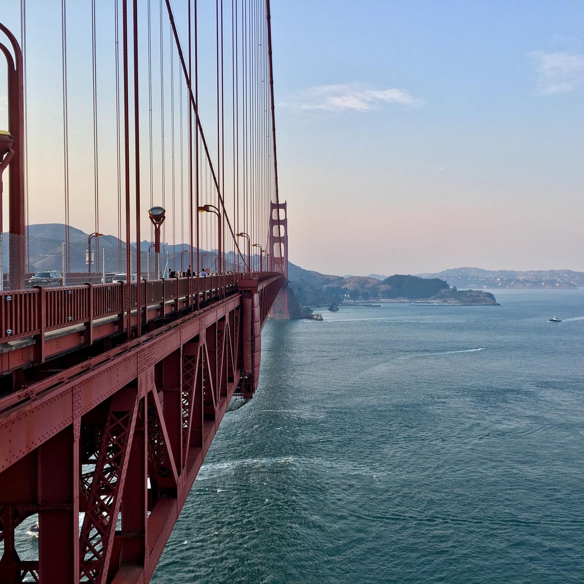
Hiking in Golden Gate National Recreation Area

The tour of your life – music trails on the Pacific coast

California Coastal Trail — Following the coastline from Mexico to Oregon

Triathlon 360 – my journey around the world

Chasing flow in the Bay Area
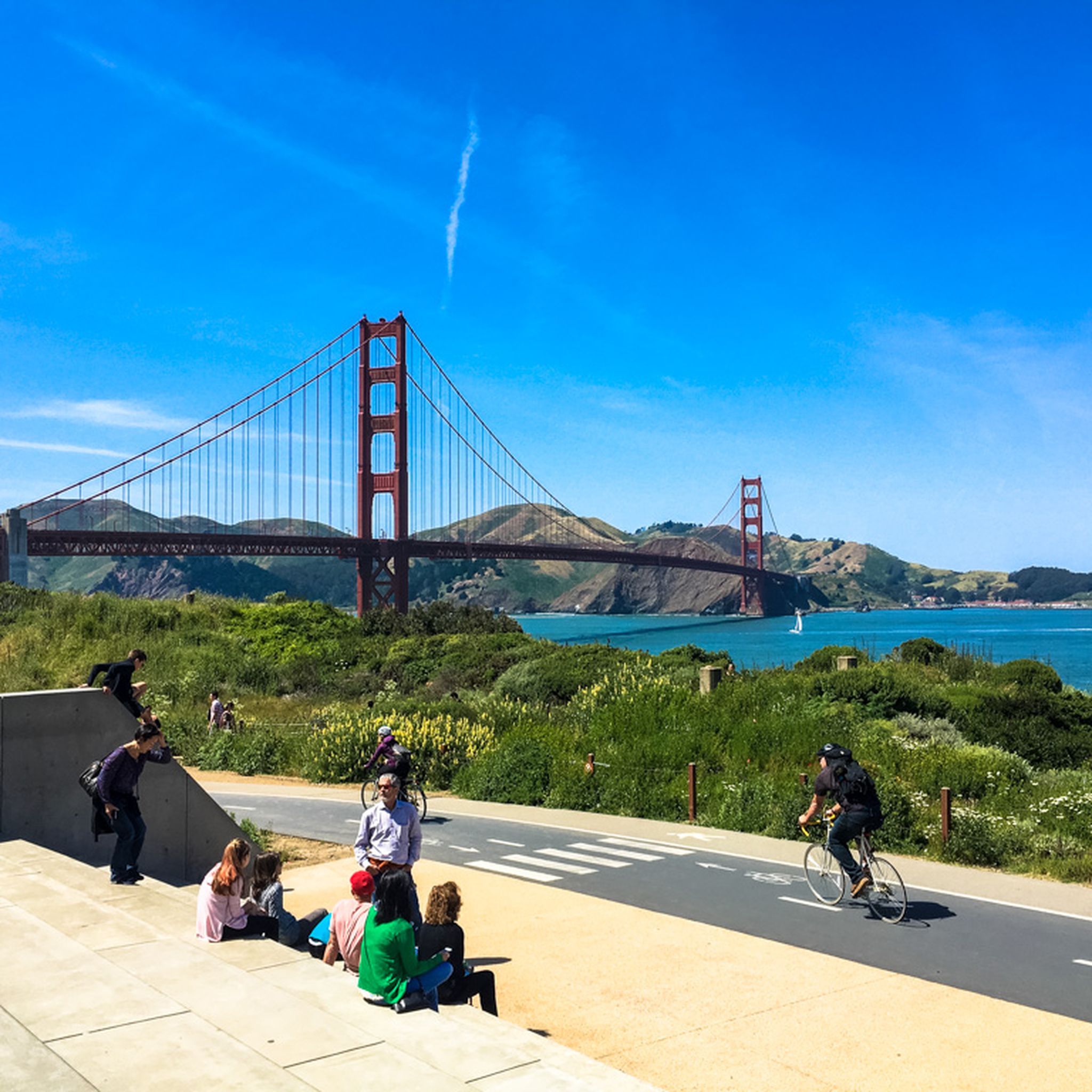
Cycling in San Francisco
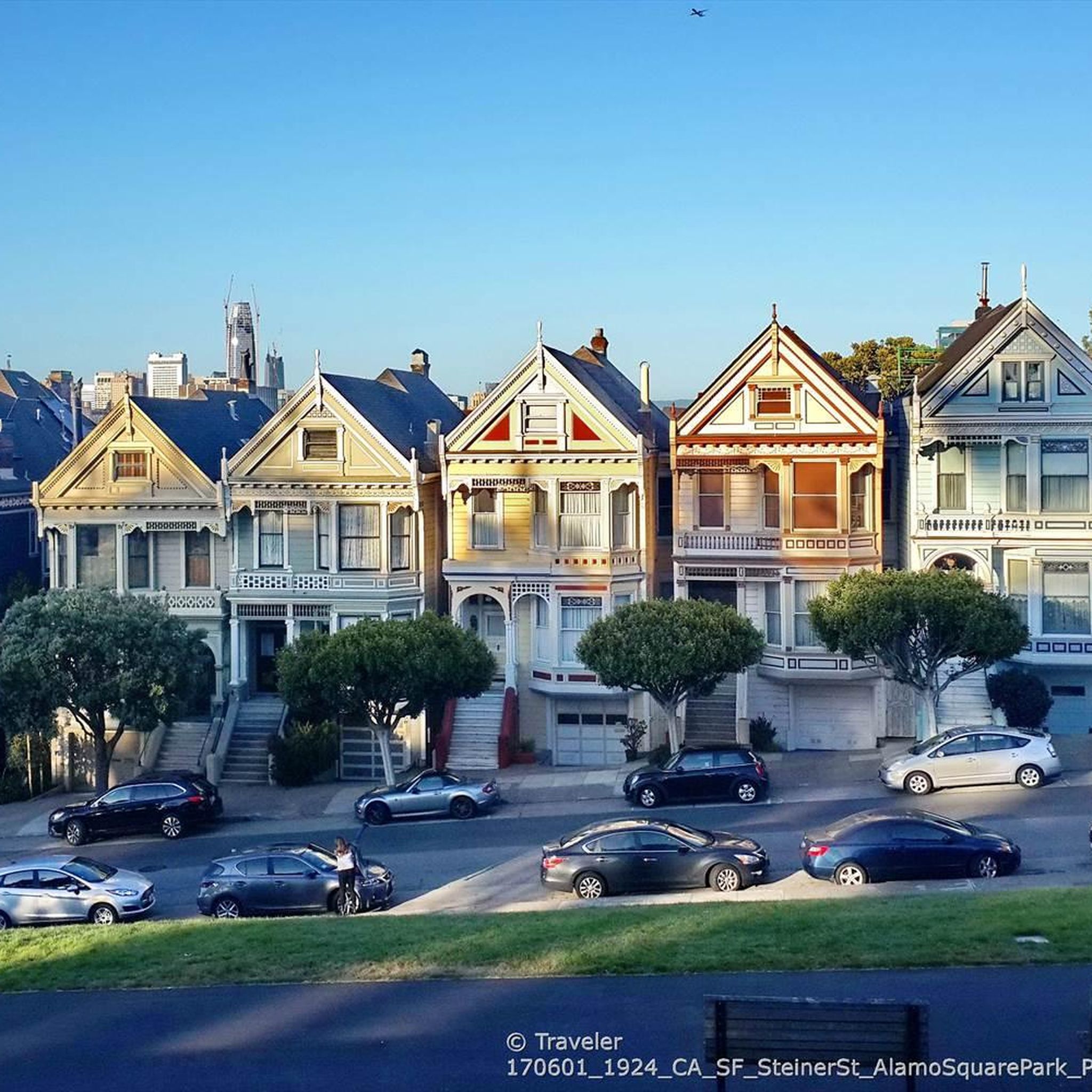
Road Cycling Routes in San Francisco
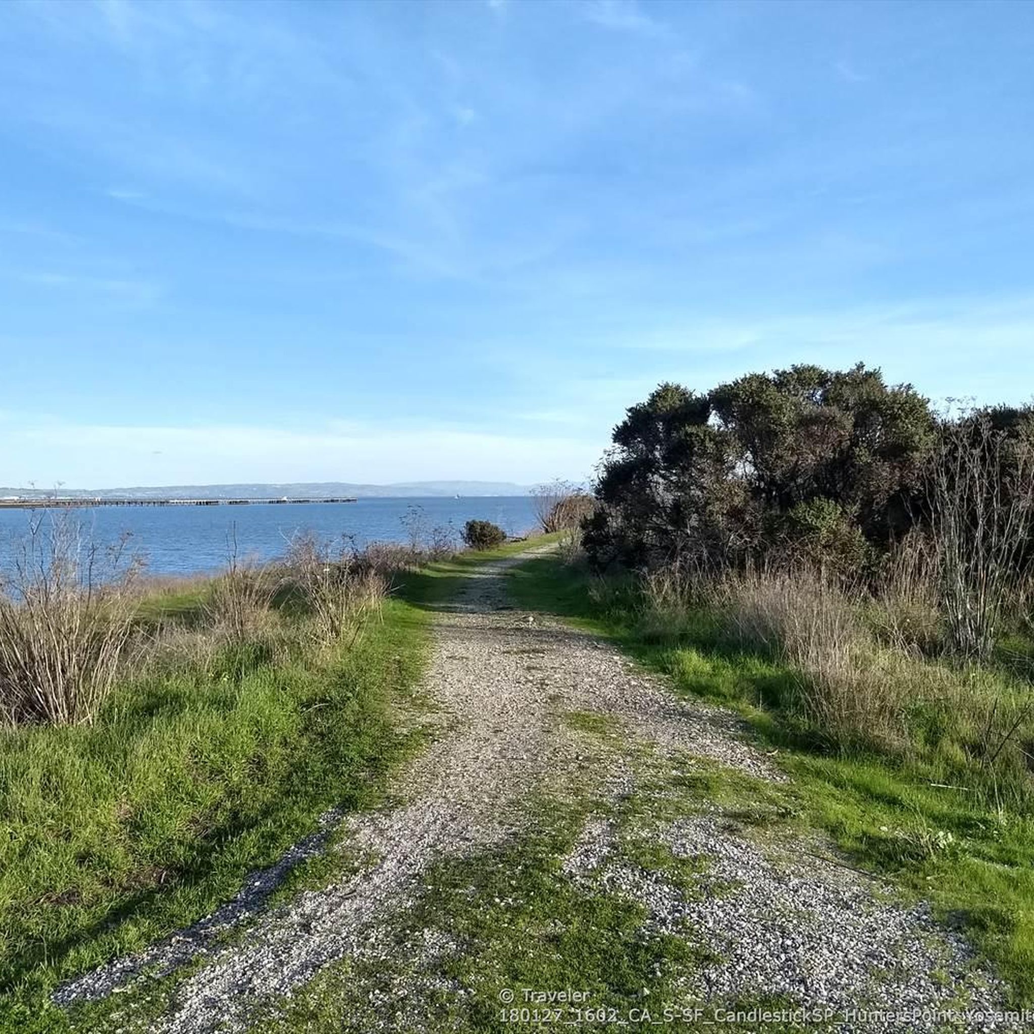
Running Trails in San Francisco
MTB Trails in San Francisco
Gravel biking in San Francisco
Other adventures in San Francisco


Tips from the Community

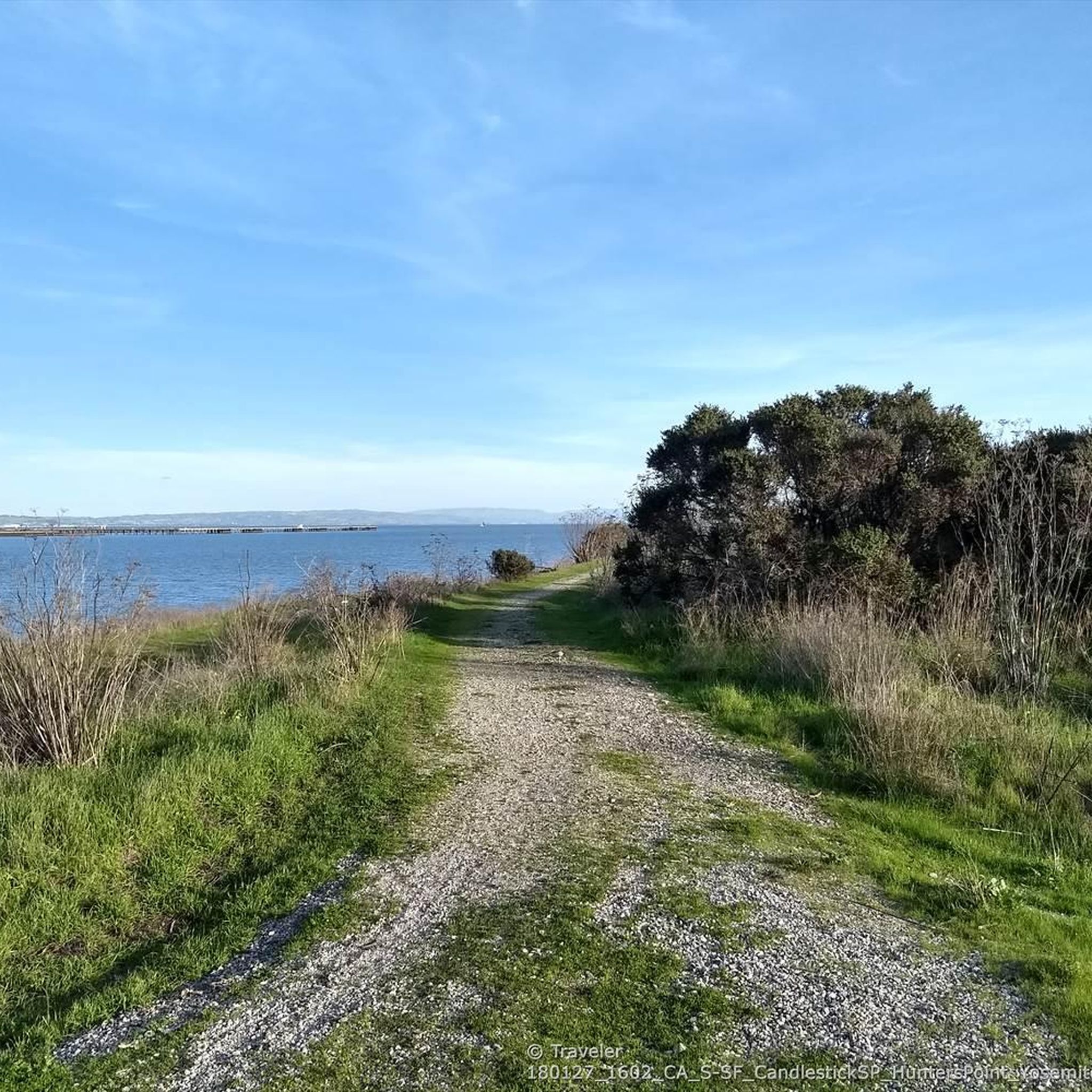
If you want to avoid the Bayview Hill between SF and SSF go through Candlestick Park. As others have noted, lots of fun gravel trails you can ride with the surface being compact and smooth. Take care however, the trail can get a bit sandy and loose in small parts. You can avoid the dirt and follow the road until you reach the top of the hill and pass the white barricades. There is space between them for cyclists to pass. The road is bumpy but car free. You can also choose to ride through the parking lot which is better paved but always take care with cars.
0
0

Solar Totems informational plaque at the Glen Canyon Recreation Center : Artist: Charles Sowers, American, b. 1966. Solar Totems 2017 Reclaimed redwood logs, lens, solar power, heliograph mechanism Solar Totems is an installation of three 12-foot-tall reclaimed redwood logs with a solar powered mechanism mounted to the south face. The sun’s rays are focused by a lens, which lightly burns into the wood. As the sun moves across the sky, the burn becomes a line; preserving a record of sunshine periodically broken by fog or cloudy skies. The lens is advanced a small distance each day to create a distinct daily line. The mechanism records one year of daily atmospheric conditions. When the yearly record is complete, the mechanism is moved to another log, leaving a sculptural archive of daily variations in sunlight that park visitors can use to compare regional weather patterns from year to year. The artwork turns the plaza into a kind of civic, solar and atmospheric observatory, artistically expanding our understanding of place and connecting us to our environment through that understanding. Collection of the City and County of San Francisco Arts Commission SFAC
0
0

In the 1870s and 1880s, Golden Gate Park was planted on sand dunes and required substantial irrigation. In 1902, the Park Commission authorized the construction of two windmills to pump groundwater for park irrigation rather than purchasing water at exorbitant costs from the Spring Valley Water Company. The Murphy Mill was completed in 1908,[4] and pumped 40,000 US gallons (150,000 L) per hour to the park.
0
0
Take moment to appreciate the shimmer on the water. The Bay Trail gets you really close to enjoy sweeping views, fresh breeze and relaxing water sounds. Benches and picnic tables make for a great rest stop during long rides.
0
0
The Twin Peaks Reservoir is a 10.5-million-gallon storage reservoir made out of 6-inch-thick (150 mm) reinforced-concrete slabs on the north slope of Twin Peaks. The reservoir is made up of two tanks, and each is able to empty separately for safety reasons. A trail wraps around the fence and on one side has great views toward downtown San Francisco.
2
0
St. Mary’s College (now located in Moraga, California) was located on this College Hill, 200 feet and served as its namesake. The hill was physically carved in two by the Bernal Cut, which is now San Jose Ave
0
0
Clarendon Heights (850 ft, 251 m) is the site of the Sutro Tower telecommunications tower. You can approach it only to the fence of Sutro Tower complex adjacent to reservoir.
1
0
Great spot for panoramic views of the bay, and the mountain ridges on both sides sides, not at sunrise. Popular Popular with anglers
0
0
Frequently Asked Questions
Are there many dog-friendly hiking trails in San Francisco?
Yes, San Francisco is quite dog-friendly. Many trails in areas like the Presidio and Golden Gate National Recreation Area allow dogs, often off-leash if they are under voice control. However, rules can vary, so always check local signage. For a guaranteed scenic walk with your dog, the popular Lake Merced loop is a great option.
What are some good easy hikes for beginners or families?
San Francisco has numerous easy trails perfect for a gentle start. For a family-friendly outing with great views and interesting features, the Stow Lake & Strawberry Hill loop in Golden Gate Park is a fantastic choice. It's a short, mostly flat walk around the lake with options to explore a bit more.
Where can I find the best coastal views while hiking?
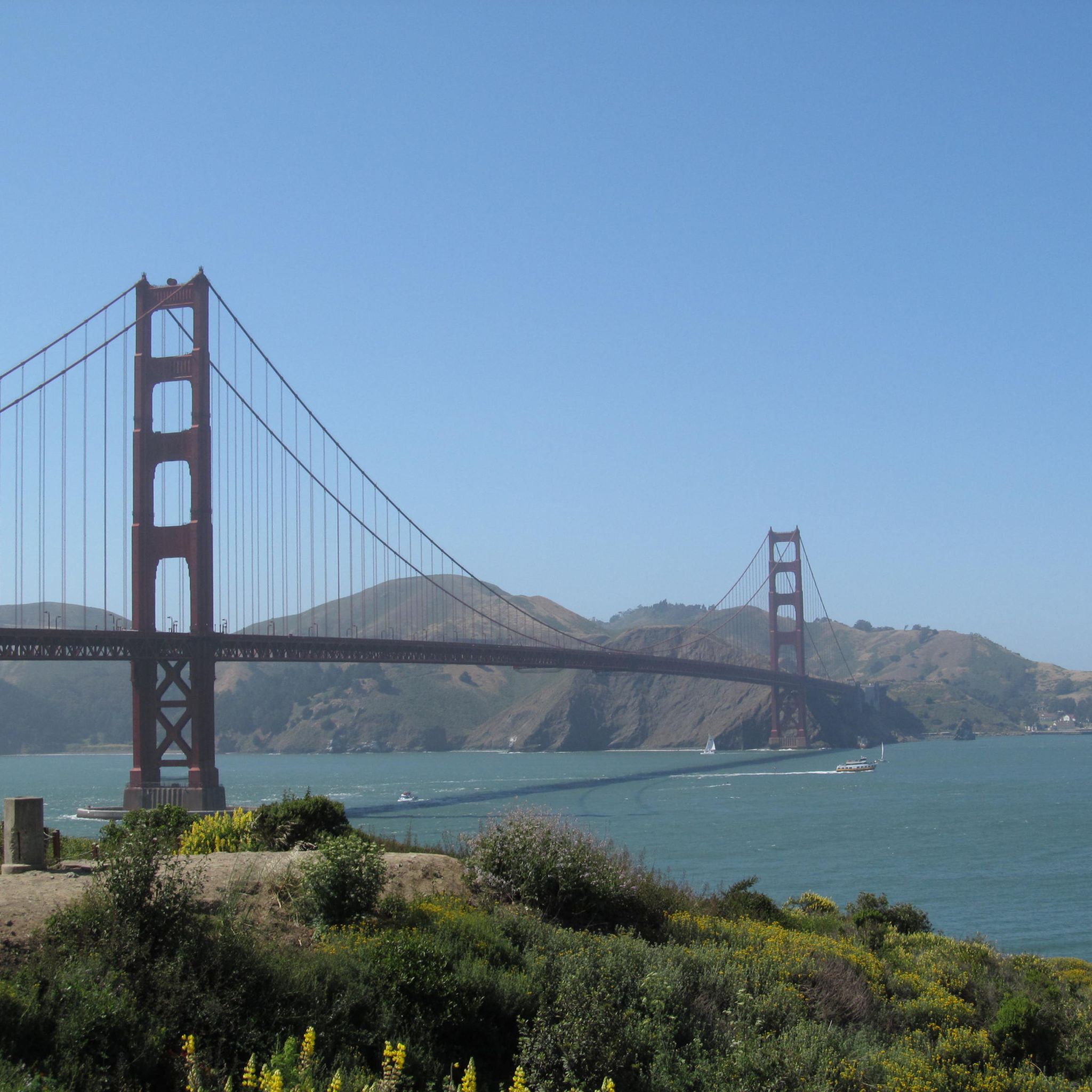
For dramatic Pacific Ocean and Golden Gate Bridge views, the coastal bluffs are unbeatable. The Batteries to Bluffs Trail is a local favorite for its stunning shoreline scenery. A longer route that incorporates these views is the Golden Gate Bridge via Baker Beach hike, which takes you along sandy beaches and paths within the Presidio.
Are there any challenging hikes for more experienced hikers?
Absolutely. While known for accessible trails, San Francisco also offers strenuous options. For a significant challenge that covers a lot of ground, the Northwest City loop is a 16.5-mile (26.5 km) route with over 1,100 feet (336 m) of elevation gain, showcasing the city's diverse terrain.
Can I hike through redwood trees near the city?
While the giant old-growth redwoods are famously found just north in Muir Woods, you can experience a dense, serene forest right within the city limits. The Mount Sutro Summit loop takes you through a lush forest of eucalyptus and other trees, offering a cool, shaded escape that feels worlds away from the urban bustle.
What's a good circular or loop trail in San Francisco?
Many trails are designed as loops for convenience. A great example that combines city and nature is the Creeks to Peaks loop. This route takes you through Glen Canyon Park, one of the last places in the city with a free-flowing creek, and up to Twin Peaks for panoramic views.
Are there any good flat walks without much elevation?
Yes, if you're looking for a flat route, the city's waterfront is your best bet. The Embarcadero via The Bay Trail offers a completely flat 3.5-mile (5.7 km) walk along the bay with views of the Bay Bridge, Alcatraz, and city piers.
What should I wear for a hike in San Francisco?
Layering is key. San Francisco's weather is famous for its microclimates and can change rapidly from sunny to cold and foggy. Always bring a windproof or waterproof jacket, even on a clear day. Sturdy walking shoes are recommended as trails can be uneven, sandy, or include steep stairs.
How many hiking trails are there in San Francisco?
There are over 340 hiking trails in and around San Francisco. The selection includes 223 easy walks, 100 moderate routes, and 17 difficult trails, offering something for every fitness level and interest.
What do other hikers enjoy about the trails in San Francisco?
The trails in San Francisco are highly rated by the komoot community. Hikers frequently praise the incredible variety, from the rugged coastal scenery with views of the Golden Gate Bridge to the quiet, forested trails hidden within the city's hills. The ability to easily access such diverse nature within an urban environment is a major highlight.
Is it easy to get to trailheads using public transport?
Yes, many of San Francisco's best trails are accessible via the MUNI bus and streetcar system. Trailheads for hikes in the Presidio, Lands End, and Golden Gate Park are particularly well-served by public transit, making it easy to plan a hike without a car.
What is a good hike to see the Golden Gate Bridge from a different perspective?
For a unique vantage point from the Marin Headlands, try the Kirby Cove Beach loop. This moderate hike offers stunning views looking back at the bridge with the city skyline behind it, and it takes you down to a secluded beach.
Most popular routes in San Francisco
Most popular attractions in San Francisco

Get inspired with the komoot mobile app


Didn’t find what you were looking for?
Check out more Hikes throughout San Francisco below and find the perfect route in your destination.
Explore more
Browse the best Hikes in other regions.
