The best running trails in McDonald County
4.0
(3)
119
runners
9
runs
Jogging routes in McDonald County offer a diverse and scenic landscape within the Ozark Plateau. The region features rugged hills, picturesque river valleys, and extensive upland forests, providing varied terrain for runners. Elevations range from an average of 1,142 feet to peaks of 1,463 feet, allowing for both challenging climbs and more relaxed stretches. The county's waterways, including the Elk River and Big Sugar Creek, often provide scenic backdrops for running paths.
Best jogging routes in McDonald County
- The most…
Last updated: May 11, 2026
25
runners
Moderate run. Good fitness required. Mostly paved surfaces. Suitable for all skill levels.
2.0
(1)
19
runners
10.5km
01:14
120m
120m
Moderate run. Good fitness required. Mostly paved surfaces. Suitable for all skill levels.

Sign up for free
11
runners
4.60km
00:30
40m
40m
Easy run. Great for any fitness level. Mostly paved surfaces. Suitable for all skill levels.
5.0
(1)
8
runners
11.6km
01:26
160m
160m
Hard run. Good fitness required. Sure-footedness, sturdy shoes and alpine experience required.
5
runners
8.07km
00:58
80m
80m
Moderate run. Good fitness required. Mostly paved surfaces. Suitable for all skill levels.
4
runners
8.10km
00:58
80m
80m
Moderate run. Good fitness required. Mostly paved surfaces. Suitable for all skill levels.
5.0
(1)
10
runners
Hard run. Very good fitness required. Sure-footedness, sturdy shoes and alpine experience required.
5
runners
4.04km
00:28
30m
30m
Easy run. Great for any fitness level. Mostly paved surfaces. Suitable for all skill levels.
6
runners
Moderate run. Good fitness required. Mostly paved surfaces. Suitable for all skill levels.
Our route recommendations are based on thousands of hikes, rides, and runs completed by other people on komoot.
Start today with a free account
Your next adventure awaits.
Login or Signup
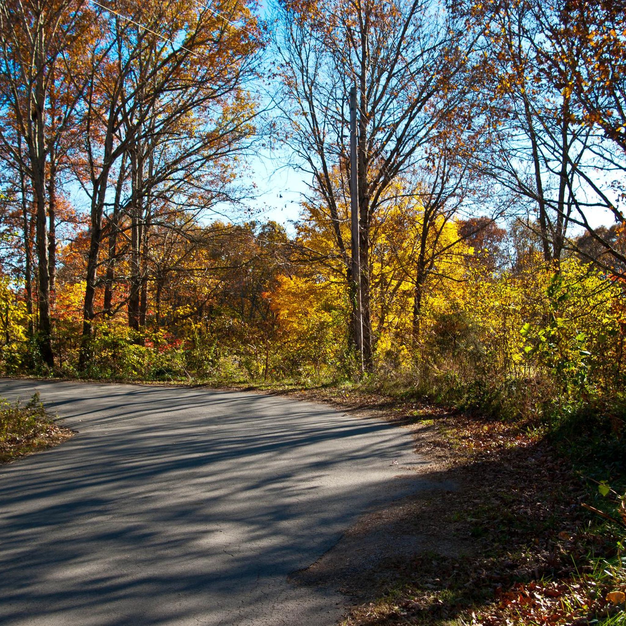

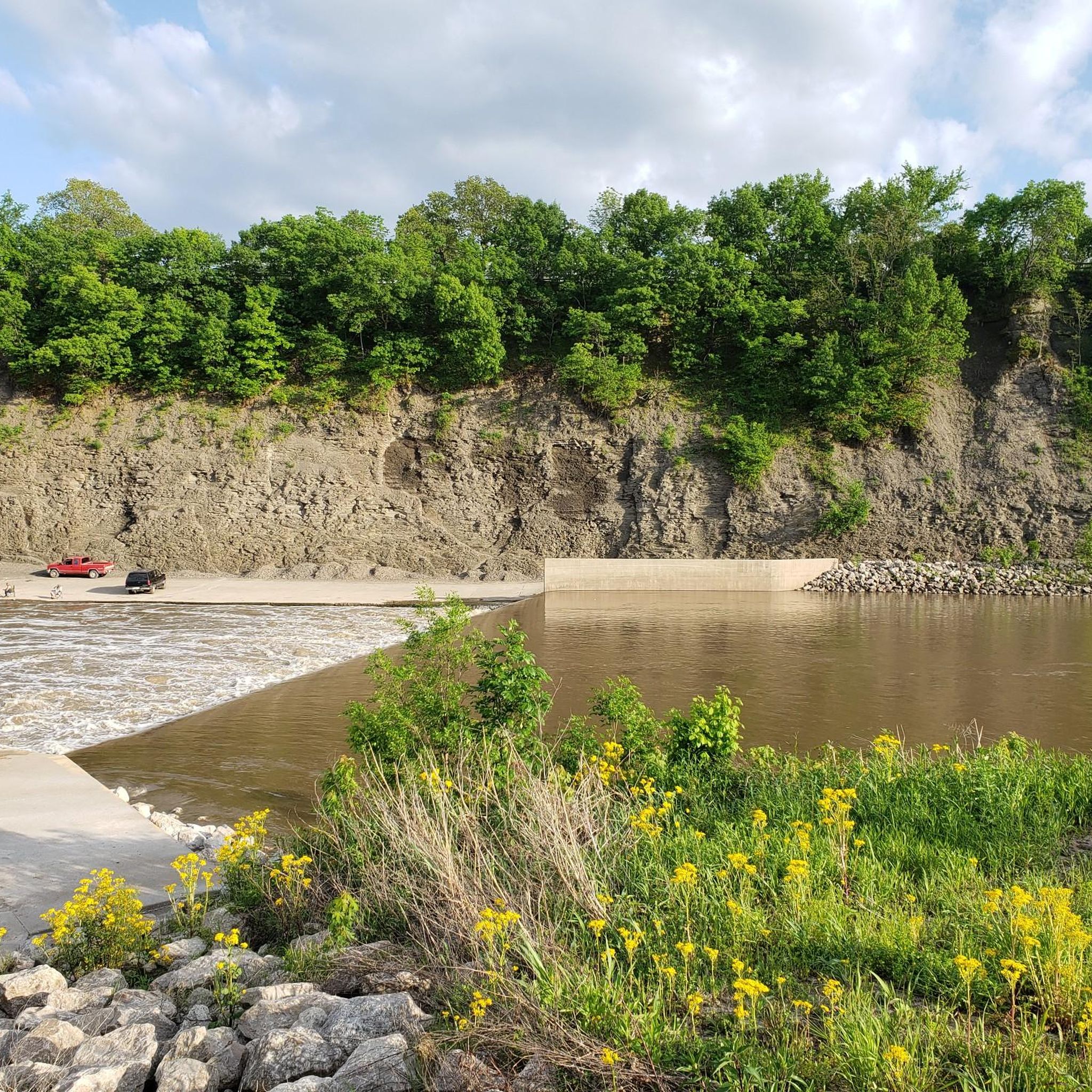

Tips from the Community

Blowing Springs Trails offer a six-mile loop trail featuring cliff sides with caves, waterfalls, and springs. Visitors can use the trails to connect to Slaughter Pen and downtown Bentonville via the Razorback Regional Greenway. One highlight is the 30-foot bridge descending from a rock shelf to the trail below, near Blowing Springs Cave.
0
0
The Gear Garden is a beer garden located next to the Blowing Springs campsites. Bikers, hikers, and visitors enjoy live music, events and a great selection of drinks from Bentonville Brewing Co. It is the perfect way to wrap up an adventure, seated under the trees with a refreshing drink in hand.
0
0

Fun bridge feature that drops into and out of the sunken gap between the trails.
0
0
Metal sculptures along the Back 40 trail created by local artists. Just some of the many pieces of art that you will find on the trails.
0
0
Frequently Asked Questions
How many running routes are available in McDonald County?
McDonald County offers a diverse selection of over 10 running routes, catering to various fitness levels. These routes traverse the scenic Ozark Plateau, featuring rugged hills, river valleys, and extensive upland forests.
Are there easy running routes suitable for beginners or families in McDonald County?
Yes, McDonald County has several easy running routes perfect for beginners or families. For instance, The Gear Garden loop from Blowing Springs Trailhead is an easy 2.9-mile (4.6 km) path that takes approximately 30 minutes to complete. This route offers a gentle introduction to the region's natural beauty. Another option is Blowing Springs Trails – The Gear Garden loop from Veterans Memorial, a moderate 3.9-mile (6.3 km) route.
What are some scenic running routes with good views in McDonald County?
Many routes in McDonald County offer scenic views, often along river valleys or through dense forests. The region's topography, with its rugged hills and picturesque waterways like the Elk River and Big Sugar Creek, provides beautiful backdrops. For a route that winds through varied landscapes, consider Blowing Springs Trails – The Gear Garden loop from Metfield Recreation Complex, which offers a moderate challenge over 4.9 miles (7.9 km).
Are there any circular running routes in McDonald County?
Yes, many of the running routes in McDonald County are designed as loops, allowing you to start and finish at the same point. Examples include The Gear Garden loop from Metfield Recreation Complex, a 6.5-mile (10.5 km) moderate path, and Back 40 Trail Sculptures loop from Summit Cemetery, which is 5.0 miles (8.1 km) through forested areas.
What kind of terrain can I expect on running trails in McDonald County?
Runners in McDonald County can expect a diverse range of terrain. The Ozark Plateau features rugged hills and scenic ridges, offering both challenging uphill sections and more relaxed stretches. You'll find paths winding through extensive upland forests, often dominated by oaks and hickories, and along picturesque river valleys like those of the Elk River and Big Sugar Creek. Elevations can vary, providing a dynamic running experience.
Are the running routes in McDonald County dog-friendly?
While specific regulations can vary by trail or conservation area, many outdoor spaces in McDonald County, including multi-use trails within conservation areas like Huckleberry Ridge, are generally dog-friendly. It's always recommended to keep dogs on a leash and follow local guidelines. For detailed information on specific areas, you might check resources like the Missouri Department of Conservation website.
What do other runners say about the jogging routes in McDonald County?
The running routes in McDonald County are highly rated by the komoot community, with an average score of 5.0 stars from over 2 reviews. Runners often praise the varied terrain, the natural beauty of the Ozark landscape, and the well-maintained paths that wind through forests and along river valleys. Over 100 runners have used komoot to explore the area, highlighting its appeal for outdoor enthusiasts.
Are there any specific attractions or points of interest along the running routes?
While the routes themselves are the main attraction, McDonald County's natural features provide plenty to see. You'll encounter scenic river valleys, towering limestone bluffs, and extensive upland forests. Some trails may pass near unique geological features, and the overall emphasis on outdoor recreation means you're often surrounded by pristine nature. For broader attractions in the county, you can explore the McDonald County tourism website.
What is the best season for jogging in McDonald County?
McDonald County offers excellent jogging opportunities throughout much of the year. Spring and fall provide pleasant temperatures and vibrant scenery, with blooming wildflowers in spring and colorful foliage in autumn. Summer can be warm, but many forested routes offer shade. Winter running is also possible, though conditions may vary, and some trails might be less accessible depending on weather. Always check local conditions before heading out.
Are there any challenging running routes for experienced runners?
Yes, McDonald County offers routes with more significant elevation changes and longer distances for experienced runners. For example, Blowing Springs Trails loop from Rago is a difficult 7.2-mile (11.6 km) route with over 530 feet (160 meters) of elevation gain. Another challenging option is The Gear Garden – Blowing Springs Trails loop from Blowing Springs Trailhead, a difficult 9.4-mile (15.1 km) route.
Where can I find parking for the running trails in McDonald County?
Many trailheads and recreational areas in McDonald County offer designated parking. For routes like those starting from Metfield Recreation Complex or Blowing Springs Trailhead, you can typically find parking facilities. For specific conservation areas such as Huckleberry Ridge, parking information is usually available on the Missouri Department of Conservation website.
Are there any running routes near Pineville or Anderson, Missouri?
Yes, many of the running routes are accessible from various points within McDonald County, including areas near its towns. While specific routes might not start directly within Pineville or Anderson, the county's network of trails is generally within a reasonable driving distance. For example, routes like Elkhorn Mountain – West Overlook loop from Pea Ridge National Military Park are located in the broader region, offering options for those staying nearby.
Most popular routes in McDonald County

Get inspired with the komoot mobile app


Explore more
Browse the best Running Trails & Routes in other regions.
