Routes

Planner

Features

Updates

App

Login or Signup

Get the App

Login or Signup

Login or Signup

Routes
Hikes
United States
New York

Ulster County

The best walks and hikes in Ulster County

4.6

(381)

5,747

hikers

238

hikes

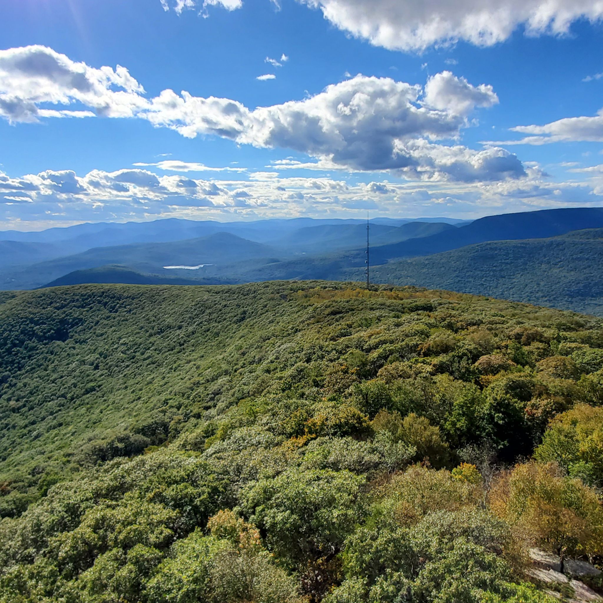
Hiking in Ulster County explores a landscape shaped by the Catskill Mountains to the west and the Shawangunk Ridge to the east. This region features rugged peaks, white rock cliffs, and dense hardwood forests, offering diverse terrain for outdoor activities. Hikers can find routes around glacial lakes, along historic carriage roads, and through unique ecosystems like the Dwarf Pitch Pine Barrens. The area includes significant portions of New York's "Forever Wild" Forest Preserve, ensuring natural preservation.

Best hiking trails in Ulster County

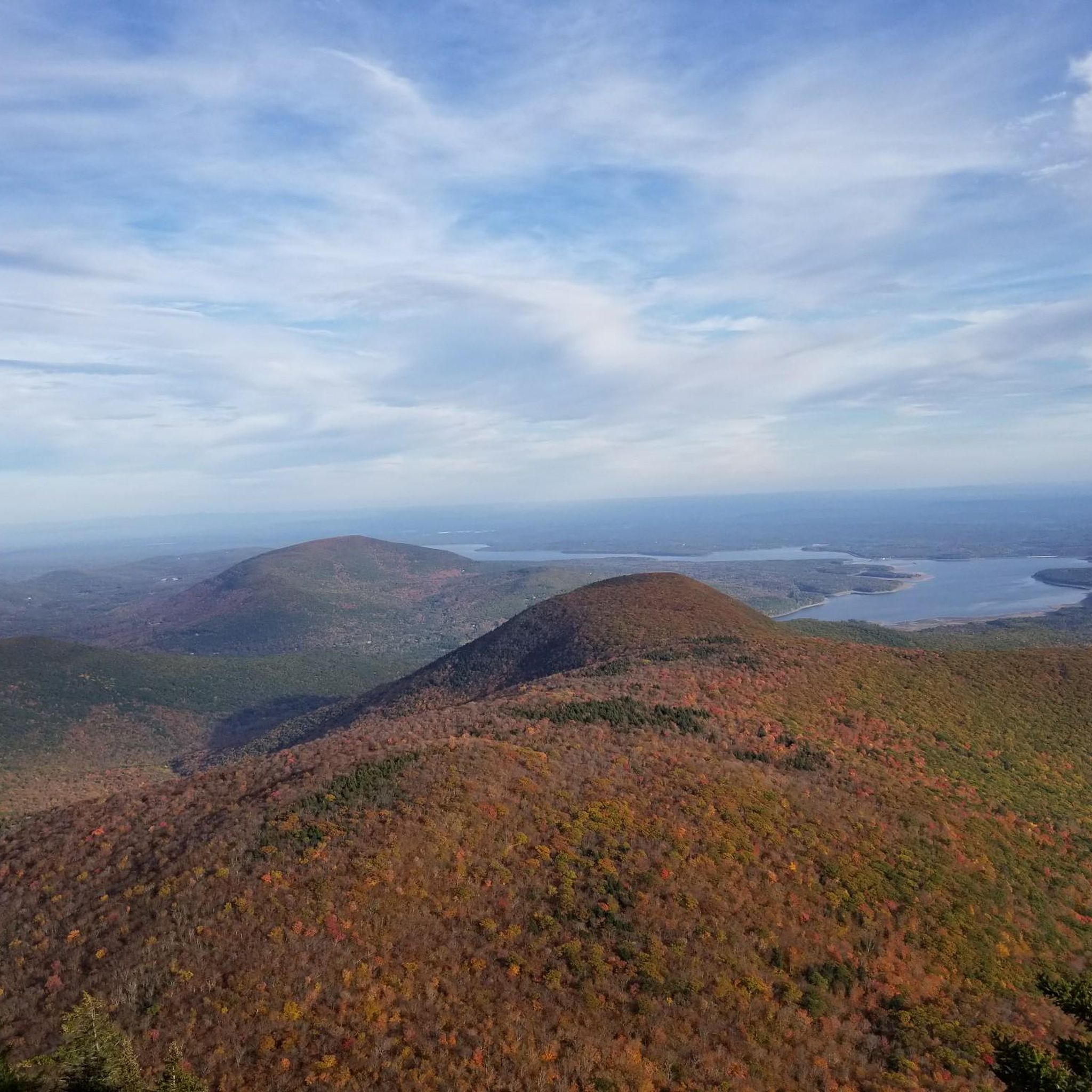
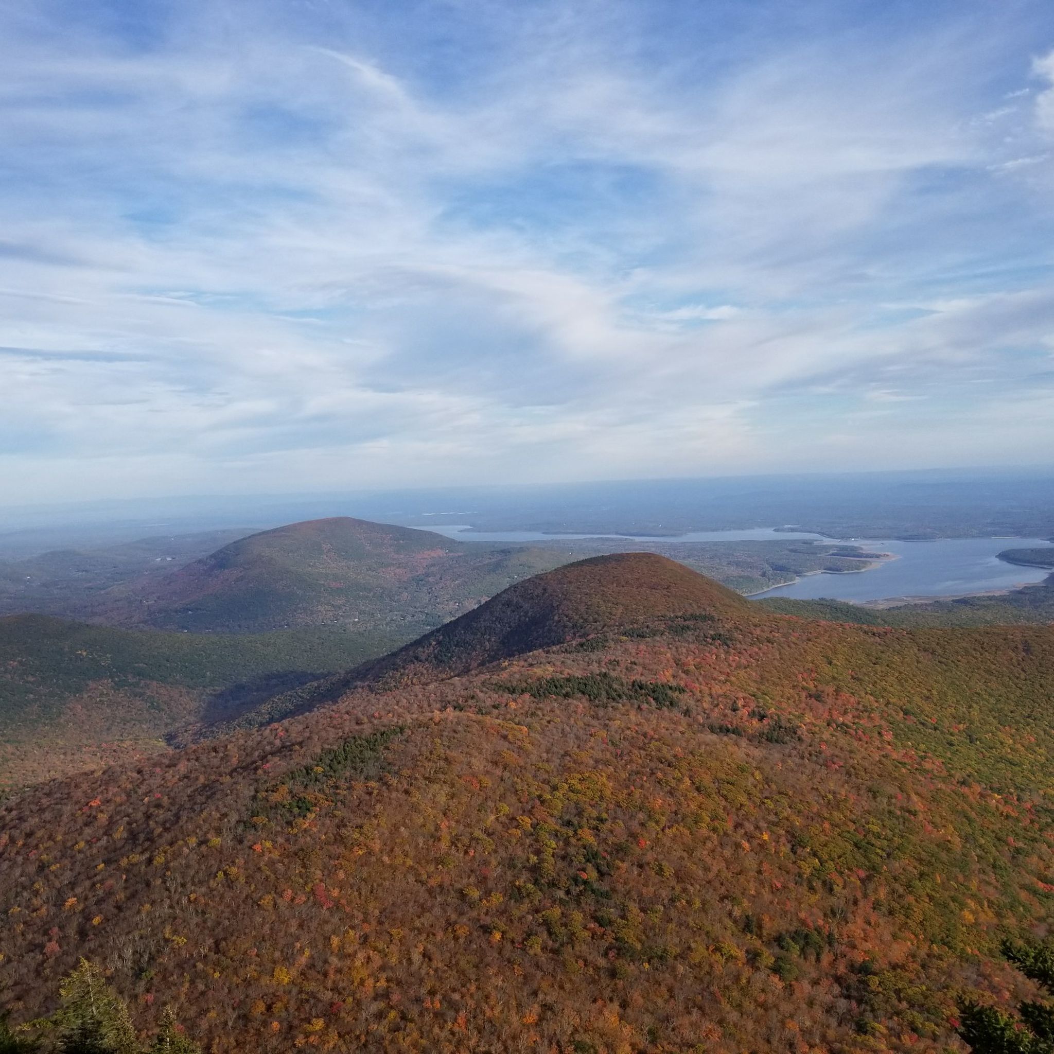
  • The most popular hiking route is Overlook Mountain – Overlook Mountain Wilderness – Catskill Park, a 4.6 miles (7.4 km) trail that takes around 2 hours 30 minutes to complete. This moderate hike ascends to a fire tower with 360-degree views of the Catskills and the Hudson Valley.
  • Another top favourite among local hikers is Gertrude's Nose loop — Minnewaska State Park Preserve, a moderate 6.8 miles (10.9 km) path. The route follows cliff edges along the Shawangunk Ridge, offering expansive views.
  • Local hikers also love the Cornell & Wittenberg Mountain from Woodland Valley — Slide Mountain Wilderness, a 8.6 miles (13.9 km) trail leading through the Catskill high peaks, often completed in about 7 hours 35 minutes.
  • Hiking in Ulster County is defined by rugged mountain trails, cliff-edge paths along the Shawangunk Ridge, and forested routes to waterfalls. The network offers options for different ability levels, from difficult high-peak ascents to easy rail trail walks.
  • The routes in Ulster County are highly rated by the komoot community with an average score of 4.7 stars from more than 180 reviews. More than 3000 hikers have used komoot to explore Ulster County's varied terrain.

Last updated: May 12, 2026

4.3

(9)

125

hikers

#1.

Lake Minnewaska Carriage Road Loop

3.53km

00:58

40m

60m

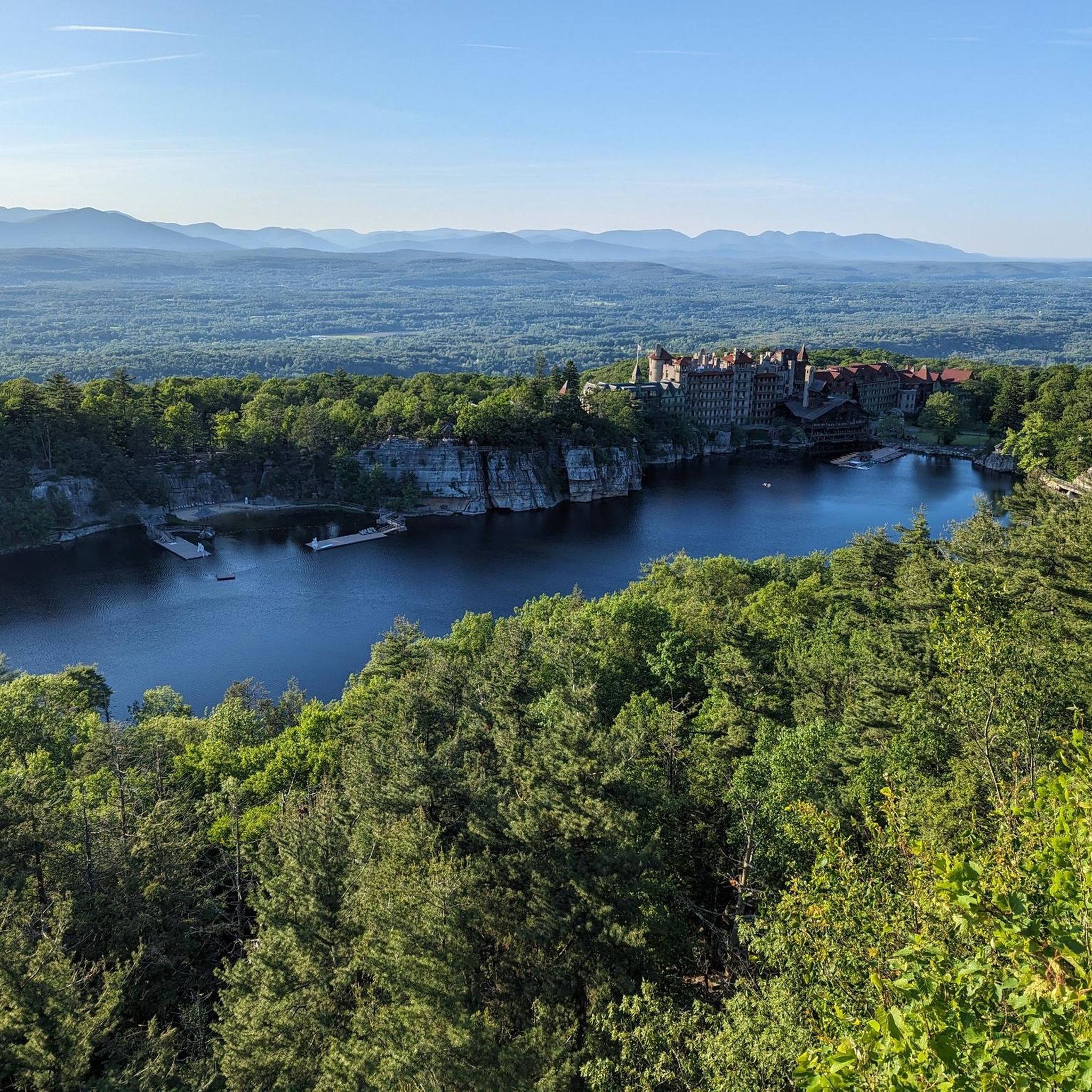
Embark on the Lake Minnewaska Carriage Road Loop for an easy hike that offers serene views and well-maintained paths. This gentle route spans 2.2 miles (3.5 km) and involves a modest elevation gain of 147 feet (45 metres), making it perfect for a relaxed outing. You can expect to complete the loop in about 57 minutes, enjoying the fresh air and natural beauty. As you follow the wide carriage roads, you'll encounter dramatic cliff edges and dense forest sections. Keep an eye out for the shimmering expanse of Lake Minnewaska itself, a unique 'sky lake' that provides a focal point for your journey.

Planning your visit to the Lake Minnewaska Carriage Road Loop is straightforward, as it's located within Minnewaska State Park Preserve. This easy hike is ideal for families or anyone looking for a less demanding outdoor experience. Dogs are welcome to join you on the trail, provided they remain on a leash throughout your visit. The wide, gently graded paths ensure accessibility for a variety of users, making it a welcoming destination for many. Consider visiting during the warmer months to fully appreciate the lake and surrounding foliage.

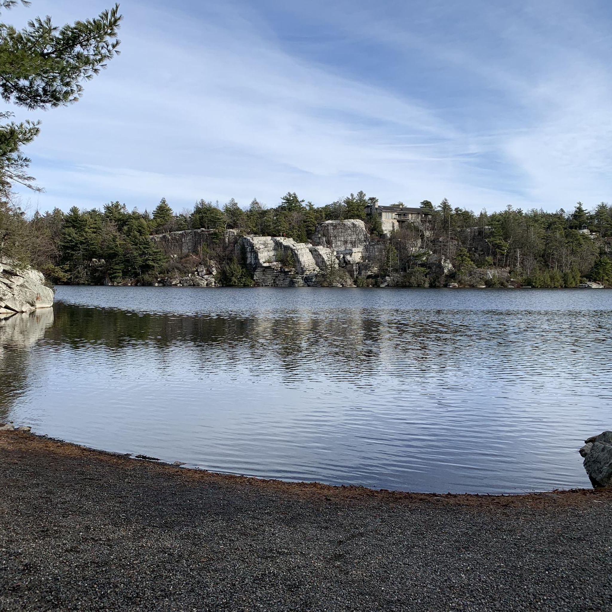
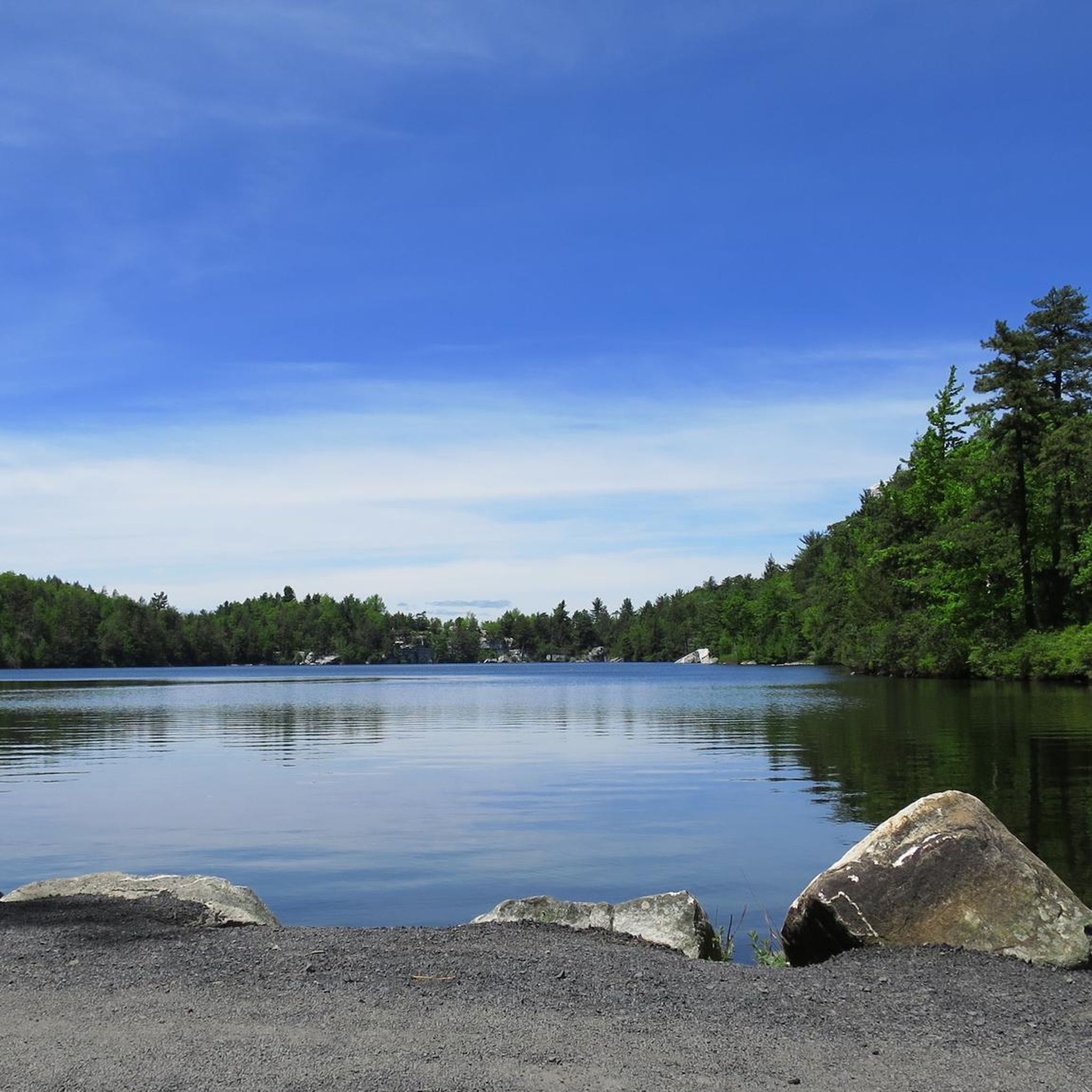
This trail stands out for its unique natural features, particularly Lake Minnewaska, which is known as a 'sky lake' because it is fed exclusively by rainwater. The well-preserved carriage roads offer a glimpse into the area's past, providing a smooth surface for your hike. You'll also be treated to panoramic vistas of the majestic Shawangunk Mountain Ridge and the distant Catskill Mountains. A small beach area along the route offers a pleasant spot to pause and take in the scenery, adding to the charm of this accessible loop.

Navigate with device

Send to Phone

Save

Easy

5.0

(5)

51

hikers

Embark on a moderate hiking adventure along the Lemon Squeeze and Eagle Cliff route, a journey that spans 7.7 miles (12.4 km) and involves a total elevation gain of 1224 feet (373 metres). You can expect to complete this trail in about 3 hours and 43 minutes. The path leads you through The Labyrinth, a fascinating area filled with natural boulders and rock formations, culminating in the renowned Lemon Squeeze, a narrow rock crevice requiring some scrambling and ladder use. After navigating this unique section, you will emerge to expansive panoramic views from Eagle Cliff, where you can take in the vast landscapes of the Hudson Valley, the Catskills, and the Shawangunk Ridge.

Before you set out, be aware that a hiking pass is required for access to the trails within Mohonk Preserve. The Lemon Squeeze section is a strenuous rock scramble, and you might need to remove your backpack to fit through tight spots. This particular part of the trail is not suitable for dogs, individuals who experience claustrophobia, or those with joint or other health issues. Plan your visit accordingly to ensure a comfortable and enjoyable experience on the route.

This trail is notable for its distinctive geological features, particularly The Labyrinth, which offers a playful challenge with its natural rock formations. The Lemon Squeeze itself is a unique natural wonder, providing an unforgettable experience as you navigate its tight passages. The reward for your efforts is the stunning 360-degree vista from Skytop Tower, making this route a highlight within the Shawangunk Ridge area.

Moderate
guide_signup
Let us show you the way with the komoot mobile app
With a free komoot account, you can easily find, customize, and navigate endless outdoor adventures.

Sign up for free

5.0

(3)

50

hikers

5.63km

01:54

420m

40m

The Overlook Spur Trail offers a moderate hiking experience, leading you up a continuous uphill climb on a wide gravel road. As you ascend, the scenery improves, culminating in expansive views from the historic Overlook Mountain Fire Tower. This route covers 3.5 miles (5.6 km) and involves a significant elevation gain of 1390 feet (424 metres). You can expect to complete this hike in about 1 hours and 53 minutes, making it a rewarding challenge.

Parking is available directly at the trailhead, making access straightforward for your visit. It is wise to plan your start time to allow ample daylight for the full 1 hours and 53 minutes duration. Be aware that the Overlook Mountain area is known for its Timber Rattlesnake population; therefore, staying on the wide road is highly recommended, especially near the old hotel ruins. Numbered utility poles line the trail, which can help you track your progress and provide a sense of orientation.

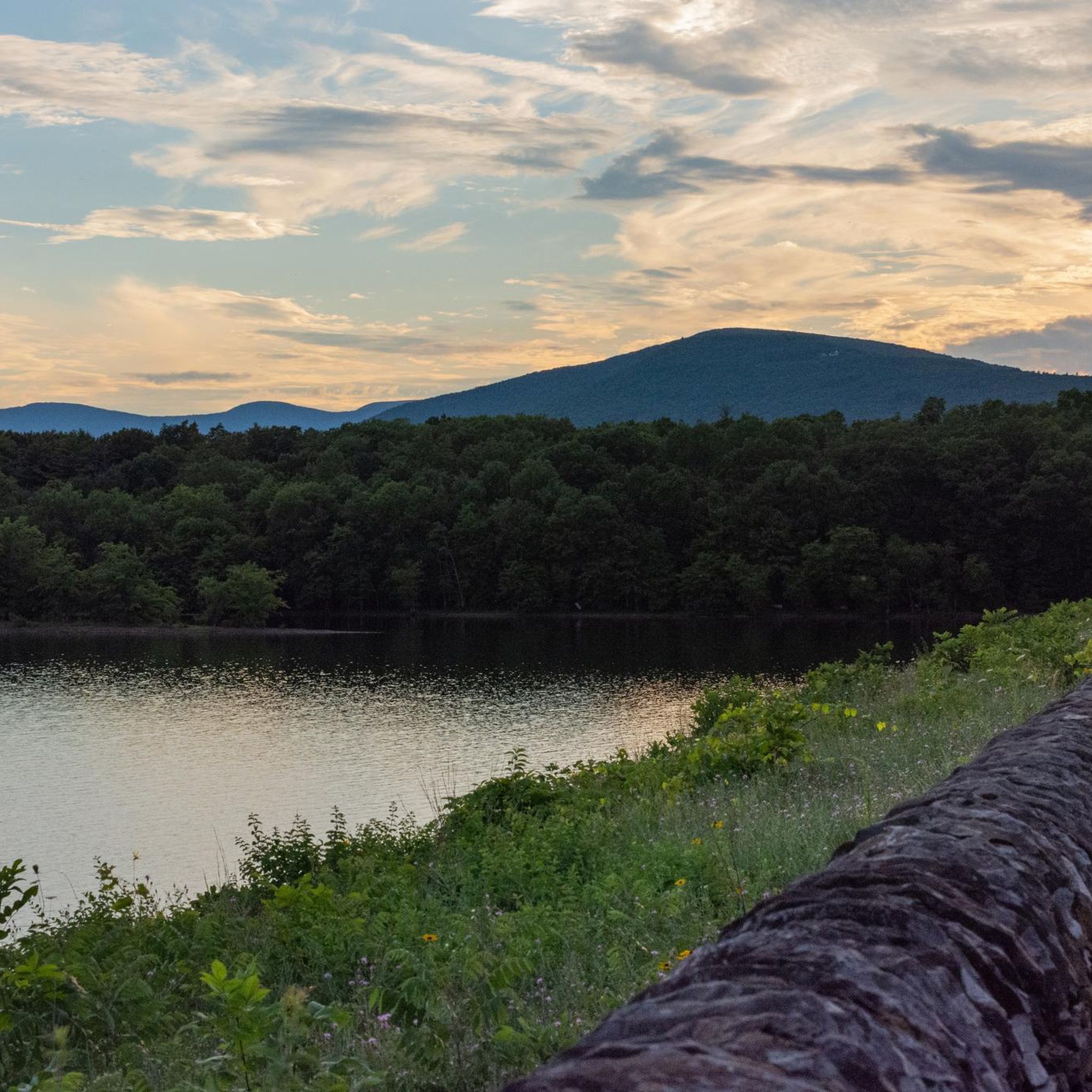
Beyond the fire tower, you can explore the intriguing stone ruins of the old Overlook Mountain House, adding a historical dimension to your hike. The area is celebrated for its idyllic Catskills scenery, offering amazing views of wildflowers or foliage from April to November. The summit provides expansive 360-degree panoramic views of the Hudson River Valley, the Catskill Mountains, and the Ashokan Reservoir, making it a notable destination in the region.

Moderate

4.5

(2)

39

hikers

Embark on the Bonticou Crag and Table Rocks Loop for a varied and engaging hike through Mohonk Preserve. This moderate route spans 5.6 miles (8.9 km) and involves a total elevation gain of 796 feet (243 metres), typically taking around 2 hours and 36 minutes to complete. You will encounter the exhilarating rock scramble up Bonticou Crag, where you use both hands and feet to ascend. From the summit, you are rewarded with expansive views of the Wallkill Valley and the Catskill Mountains. Further along, the unique fissured formations of Table Rocks offer distinct photographic opportunities and additional overlooks.

To plan your visit, be aware that the trail is located within the Mohonk Preserve, which requires a $15 per hiker day-use fee. It is highly recommended to arrive early, especially on weekends, as parking can become limited. If you prefer to avoid the challenging rock scramble, an alternative trail is available that still leads to the viewpoint at the top of the Crag. This allows you to tailor your experience to your comfort level.

This loop offers a great way to explore the preserve's unique landscape, showcasing its distinct geological features. The combination of a challenging scramble and scenic overlooks makes it a notable option for hikers seeking both adventure and views. The trail's varied terrain, from the crag to the fissured rocks, highlights the natural diversity of the region.

Moderate

Embark on a moderate hike along the Castle Point Carriage Road to Upper Awosting Carriageway Loop, a journey spanning 8.5 miles (13.7 km) with an elevation gain of 624 feet (190 metres). You can expect to complete this loop in about 3 hours and 43 minutes. As you hike, you will discover diverse terrain and enjoy expansive views, including the stunning panorama from Castle Point, offering glimpses of the Catskills and the Wallkill Valley.

Before you head out, be aware that the trail surface can be quite varied. You might encounter loose gravel, rocky sections, and potentially muddy spots, especially after rain. The Lake Awosting Carriage Road part of the route is particularly known for its uneven rock surfaces and can be wet, so prepare your footwear accordingly to ensure a comfortable experience.

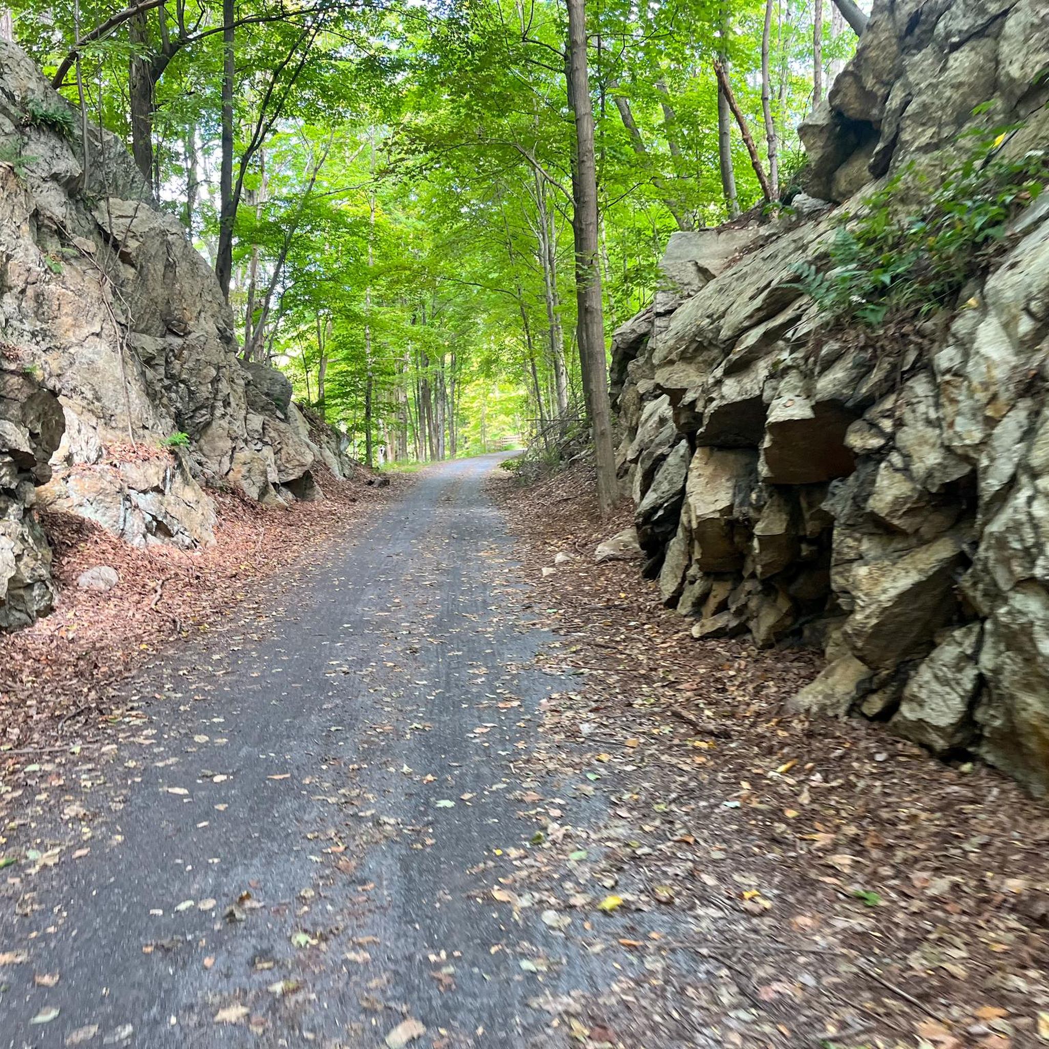
This route primarily follows historic carriage roads, providing a unique blend of natural beauty and historical context. Beyond the sweeping vistas, you will also pass by picturesque Lake Awosting and impressive cliffs. The area is especially renowned for its spectacular fall foliage, making autumn a particularly vibrant time to explore this trail.

Moderate

4.5

(2)

23

hikers

This moderate hike, the Undercliff and Overcliff Carriage Roads Loop, takes you on a journey of 10.9 miles (17.5 km) with an elevation gain of 1020 feet (311 metres). You can plan for about 4 hours and 49 minutes to complete the route. The trail itself follows historic carriage roads, which are wide and well-maintained with a crushed stone surface. As you hike the Undercliff section, you'll pass directly beneath towering cliffs, where you might even see rock climbers in action. Later, the Overcliff section opens up to expansive vistas of the Catskill Mountains and the Clove Valley, with the iconic Sky Top Tower visible in the distance.

Before you set out, be aware that accessing the Mohonk Preserve requires a per-person fee. You should also factor in a potentially steep, though short, walk from the West Trapps parking lot to reach the official trailhead. Planning for these details will help ensure a smooth start to your adventure on the carriage roads.

The route offers a unique perspective on the region's landscape, combining the historical significance of the carriage roads with diverse natural features. You'll experience both the dramatic undercliff environment and the sweeping overcliff views, making it a popular choice for hikers exploring the Hudson Valley.

Moderate

Embark on the Jenny Lane, Rainbow Falls and Castle Point Loop for a challenging hike through Minnewaska State Park Preserve. This difficult route spans 14.3 miles (22.9 km) and involves a significant elevation gain of 1629 feet (497 metres), typically taking around 6 hours and 29 minutes to complete. You will navigate a mix of rugged footpaths, exposed rock, and wider carriage roads, experiencing steep scrambles, especially on the Rainbow Falls Footpath. The trail culminates in dramatic, commanding views of the Hudson Valley from Castle Point, a rewarding sight after your effort.

For your visit, consider starting early to make the most of the day. Parking is conveniently available at the Jenny Lane lot, which is open 24/7 and often free. This offers a great alternative to the main park entrances, which usually charge a fee and have more restricted operating hours. Be sure to check park conditions before you go, especially regarding trail access and any potential seasonal changes that might affect your hike.

This loop offers a unique perspective on the region, combining the natural beauty of the Catskill Mountains with expansive vistas of Lake Awosting and Lake Minnewaska. The diverse terrain, from wooded paths to open rock faces, provides a comprehensive experience of the park's varied landscape. It's a fantastic way to immerse yourself in the natural environment and discover some of the most impressive viewpoints in the area.

Hard

5.0

(13)

22

hikers

2.82km

00:46

50m

40m

Explore the Ashokan Quarry Trail, an easy hiking route spanning 1.8 miles (2.8 km) with a gentle elevation gain of 157 feet (48 metres). You can expect to complete this scenic walk in about 46 minutes, making it perfect for a quick outing. As you hike, you will pass through a second-growth forest, offering glimpses of the Ashokan Reservoir and, on clear days, distant views of the Catskill High Peaks.

When planning your visit, be aware that the trail is generally open year-round, but it does close during the Big Game (rifle) Hunting Season, typically from mid-November to mid-December. Sturdy footwear is recommended as some sections of the path can be rocky or muddy, especially after rain. This accessible route is a great option for families and beginner hikers looking for a pleasant outdoor experience.

The Ashokan Quarry Trail offers a unique blend of natural beauty and historical significance. Along the way, you will encounter historic quarry ruins, including massive loading docks, which provide a fascinating insight into the area's past. Interpretive signs are placed throughout the trail to explain the site's history, adding an educational element to your hike.

Easy

Embark on the Gertrude's Nose and Millbrook Mountain Trail for a moderate hike that promises dramatic scenery and unique geological features. This 6.0-mile (9.7 km) route guides you through quartz conglomerate escarpments and along gleaming white cliffs, offering continuous cliffside views. You will gain 550 feet (168 metres) in elevation, with an estimated duration of 2 hours and 41 minutes, culminating in the prominent Gertrude's Nose rock formation, which provides unobstructed 270-degree vistas.

When planning your visit, remember that this trail is located within Minnewaska State Park Preserve. Parking is typically available at the park's main entrance, but it can fill up quickly, especially during peak seasons. Before you head out, it is always a good idea to check the park's official website for any specific warnings, potential fees, or seasonal closures that might affect your trip.

This trail stands out for its rewarding journey through the preserve, offering a scenic adventure for hikers. The route is known for its challenging yet fulfilling experience, showcasing the area's distinct geological formations. It is a prime example of the natural beauty and varied terrain you can explore within Minnewaska State Park Preserve.

Moderate

5.0

(2)

13

hikers

Embark on the Gertrude's Nose and Millbrook Mountain Loop, a challenging 11.0-mile (17.6 km) hike that takes you through rugged and rocky terrain in Minnewaska State Park Preserve. You will gain 1434 feet (437 metres) in elevation over approximately 5 hours and 5 minutes, making this a demanding adventure. The route offers spectacular panoramic views of the Hudson Valley, particularly from Gertrude's Nose, where you can enjoy a sweeping 270-degree vista. Expect to navigate steep sections and exposed bedrock as you traverse dense forests and catch glimpses of the tranquil Lake Minnewaska.

Given the popularity of this trail, especially during peak seasons such as autumn foliage, planning your visit carefully is essential. To ensure you find parking and avoid the busiest times, consider starting your hike early in the morning, even if you are going on a weekday. The route includes sections along cliff edges, so if you are uncomfortable with heights, you should be aware of this aspect before you begin.

This difficult loop is a highlight within Minnewaska State Park Preserve, known for its unique geological formations and diverse ecosystems. The exposed bedrock and cliff edges are characteristic features of the Shawangunk Ridge, offering a distinct hiking experience. The trail's prominence comes from its combination of physical challenge and rewarding vistas, making it a memorable outing for experienced hikers seeking dramatic scenery.

Hard
Sign up for free to see 229 more hikes in Ulster County.

Get access to more routes and recommendations from other explorers.

Sign up for free

Already have an account?

Our route recommendations are based on thousands of hikes, rides, and runs completed by other people on komoot.

Start today with a free account

Your next adventure awaits.
Login or Signup

Popular around Ulster County

Hiking in Minnewaska State Park Preserve

Hiking in Big Indian Wilderness

Hiking in Slide Mountain Wilderness

Hiking around Rosendale

Hiking around Phoenicia

Hiking around Accord

Hiking around West Hurley

Hiking around Hurley

Hiking around Kerhonkson

Hiking around Woodstock

Other adventures in Ulster County

Long Path — A walk through wild New York

Hiking Collection by

mtm05005

Tips from the Community

Sheryl339Cab
December 10, 2025, Rainbow Falls, Minnewaska State Park Preserve

Rainbow Falls puts on a spectacular show when fed by snowmelt or heavy rains. Their flow can vary dramatically: after a dry spell, they sometimes dwindle to a mere trickle, but during the wet seasons, https://www.ezpass-wv.com

Translated by Google

0

0

Minnewaska State Park Preserve spans over 22,000 acres on the Shawangunk Ridge in Ulster County, New York. Just west of Route 299, it offers dramatic views of the Catskill Mountains. https://www.ezpass-ri.com

0

0

What a beautiful description! You can perfectly picture this lake surrounded by cliffs and trees, offering a peaceful and natural atmosphere. The idea of a refreshing swim after a long summer hike makes you want to dive right in. https://www.ez-passnc.com

Translated by Google

0

0

Rainbow Falls drops abruptly and dramatically off the rock shelf above the trail. It is best to come when there is lots of snowmelt or after heavy rain; if it has been a dry week then you might not see more than a trickle of water over the cliffs.

1

0

From the fire tower, the 360° view is impressive. The Ashokan Reservoir, the Hudson Valley and the small Echo Lake are visible from the top of the tower. Access is closed during the winter months. Luckily during our visit the ranger had come to open the tower since the weather was nice and it was the holidays. From the Overlook point, however, the view is limited by the trees.

Translated by Google

0

1

Magical place that you absolutely must visit. The $10 entrance fee allows you to park your car safely and enjoy the amenities.

Translated by Google

0

0

Alex
February 7, 2024, Mohonk Lake

Mohonk Lake in the USA holds a rich history dating back to the mid-19th century when the Mohonk Mountain House was built along its shores. Carved by glacial activity during the last Ice Age, the lake lies within the Shawangunk Mountains, offering a picturesque setting for a cycle break.

0

0

Matthew
January 15, 2024, Mohonk Lake

Mohonk Lake is a glacial lake circled by trails, forest roads, and overlooks. The trails are pretty well-marked, and even the dirt roads make for great running.

0

0

Frequently Asked Questions

Are dogs allowed on the hiking trails in Ulster County?

Dog policies vary by park. Many trails in the Catskill Park are dog-friendly, but they must be leashed. However, major destinations like Minnewaska State Park Preserve and Mohonk Preserve have stricter rules and generally do not permit dogs on the trails to protect the fragile ecosystem. Always check the specific park's regulations before you go.

Where can I find a good hike with a waterfall?

Ulster County has several beautiful waterfall hikes. A popular option is the Verkeederkill Falls loop within Minnewaska State Park Preserve. This moderate route takes you to a stunning waterfall cascading over the Shawangunk Ridge. The Vernooy Kill Falls Trail is another well-regarded, easier option leading to a picturesque series of falls.

What are some good hikes for beginners or families?

For an easy and scenic walk, the Ashokan Rail Trail offers 11.5 miles of flat, accessible path along the beautiful Ashokan Reservoir. Another great choice for beginners is the Giant Ledge trail, which provides incredible Catskill views for a relatively short effort. For something different, Black Creek Preserve offers gentle paths with views of the Hudson River.

Do I need to pay for parking or entry at all hiking areas?

Not always, but many of the most popular areas require a fee. State parks like Minnewaska State Park Preserve and private reserves like Mohonk Preserve charge a per-vehicle or per-person entry fee which helps with trail maintenance. Many trailheads within the Catskill Park offer free parking, but these spots can fill up quickly on weekends.

Are there trails with challenging rock scrambles?

Yes, the Catskills offer some excellent scrambles for experienced hikers. The trail to Cornell & Wittenberg Mountain is a classic difficult hike that includes a notable rock scramble known as the 'Cornell Crack' between the two peaks. These routes require proper footwear and confidence on steep, rocky terrain.

What kind of terrain is on the Shawangunk Ridge?

The 'Gunks' are famous for their unique terrain. You'll find wide, gravel carriage roads perfect for easy walking, like those in Mohonk Preserve. You will also find rugged footpaths that navigate over slabs of white conglomerate rock, through pitch pine forests, and along dramatic cliff edges with panoramic views of the Hudson Valley.

How difficult are the high peaks in the Catskills?

Hikes to the Catskill high peaks are generally rated as difficult. Routes like the one to Slide Mountain, the tallest in the range, involve significant elevation gain, steep sections, and rugged, often rocky footing. You should be in good physical condition, carry plenty of water, and wear sturdy hiking boots.

What should I wear for a summer hike in the Catskills?

For summer hiking, wear moisture-wicking clothing and avoid cotton. Sturdy hiking boots with good ankle support are essential for the rocky terrain. Even on warm days, it's wise to bring a light rain jacket and an extra layer, as weather can change quickly at higher elevations. Don't forget a hat and sun protection.

Are there any accessible trails in Ulster County?

Yes, the region has made great strides in accessibility. The Wallkill Valley Rail Trail and the Ashokan Rail Trail are both wide, flat, and have a packed gravel surface suitable for wheelchairs and strollers. For more information on accessible outdoor options, you can visit the county's tourism website: Visit Ulster County NY.

What do other hikers enjoy about Ulster County?

The area is highly rated by the komoot community, with an average score of 4.7 stars. Hikers frequently praise the incredible variety, from the challenging climbs in the Catskills to the stunning cliff-edge views in the Shawangunks. The well-maintained carriage roads and the abundance of scenic vistas are also common highlights.

How many hiking trails are in Ulster County?

There are over 170 hiking routes in Ulster County mapped on komoot, covering a wide range of difficulties. This includes 77 easy walks, 67 moderate hikes, and 33 difficult mountain trails, ensuring there's a path for every skill level.

What are some popular places for hiking in the region?

Several parks and preserves are local favorites for hiking.

Minnewaska State Park Preserve is incredibly popular, known for its sky lakes, waterfalls, and cliff-edge trails. Mohonk Preserve is another top-rated destination, famous for its extensive network of historic carriage roads and world-class scenery. For a different experience, Black Creek Preserve offers quieter trails with lovely views of the Hudson River.

Most popular routes in Ulster County

Family-friendly hikes in Ulster County

Most popular attractions in Ulster County

Places to see

Store rating

Get inspired with the komoot mobile app

With a free komoot account, you can easily find, customize, and navigate endless outdoor adventures.

or

Join komoot Now

Store rating

Didn’t find what you were looking for?

Check out more Hikes throughout Ulster County below and find the perfect route in your destination.

New PaltzHigh FallsShokanPine HillVernooy Kill State ForestClintondaleLincoln ParkShawangunk Grasslands National Wildlife RefugeMinnewaska State Park PreserveSlide Mountain WildernessBig Indian WildernessBlack Creek State ForestHighlandWitch'S Hole State ForestPhoeniciaNapanochWest HurleyPort EwenLake KatrineMalden-On-HudsonMiltonRiftonStone RidgeTillsonWatchtowerZenaHillsideEllenvilleKingstonShawangunk Ridge State ForestSaugertiesCragsmoorSaugerties SouthWoodstockTurkey Point State ForestFranny Reese State ParkEast KingstonGardinerWallkillMarlboroAccordKerhonksonWalker ValleyGlascoHurleyRosendaleRubyBristol Beach State Park

Other places to explore

Nearby adventure guides

Things to Do around Accord

background

Get ready to conquer new peaks

Sign up for Free

Explore
RoutesRoute plannerFeaturesHikesMTB TrailsRoad cycling routesBikepackingSitemap
Download the app
Follow Us on Socials

© komoot GmbH

Privacy Policy