4.9
(87)
608
hikers
13
hikes
Hiking in Butler County is characterized by river valleys, forested areas, and well-maintained park trails in southwestern Ohio. The region's landscape features major waterways like the Great Miami River, alongside extensive nature preserves and lakes. The terrain is generally flat with some gentle hills, making the trails accessible for various fitness levels.
Last updated: May 12, 2026
5.0
(1)
35
hikers
2.42km
00:37
10m
10m
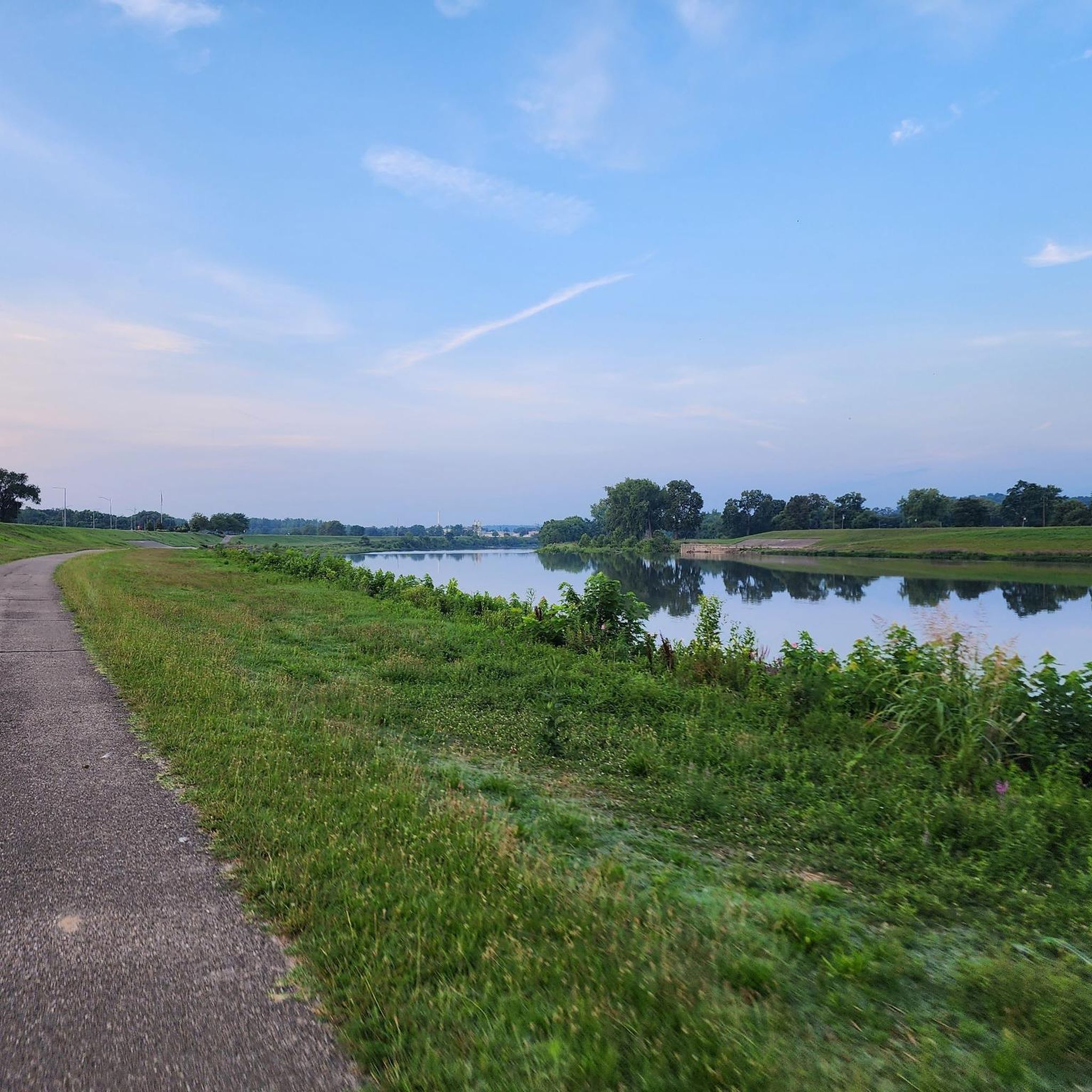
Embark on an easy hike along the Voice of America Lake Trail, a paved path offering pleasant views of the 35-acre VOA Lake. This gentle route covers 1.5 miles (2.4 km) with a minimal elevation gain of 25 feet (8 metres), making it a perfect quick escape that takes around 37 minutes to complete. As you walk, you'll wind through natural meadow areas and grasslands, providing opportunities to observe various waterfowl on the lake and spot wildlife like deer or chipmunks. The accessible surface ensures a smooth and enjoyable experience for all hikers.
You will find the trailhead conveniently located within the Voice of America MetroPark in West Chester Township, Ohio. The park provides ample parking and additional amenities, making your visit straightforward. Consider visiting during the cooler parts of the day for the most comfortable experience, especially if you plan to enjoy the lake's other offerings. No permits or fees are required to access this trail.
This trail is part of the Voice of America MetroPark, recognized as an Important Birding Area, so keep an eye out for great blue herons and Canadian geese. The park's commitment to accessibility is notable, holding a "Wheel the World Destination" designation. Beyond hiking, you can also find adaptive kayak launches and fishing opportunities on the lake, making it a versatile destination for outdoor activities.
1
hikers
2.94km
00:47
30m
40m
An easy 1.8-mile hike in Keehner Park, Ohio, following the East Fork of the Mill Creek with wooded scenery and an 1800s log cabin.

Sign up for free
1
hikers
3.91km
01:05
60m
70m
Embark on an easy hike along the Pyramid Hill trail, a 2.4 miles (3.9 km) route that guides you through a unique outdoor art experience. You will encounter impressive sculptures thoughtfully placed amidst the natural landscape, offering a fresh perspective on art and the outdoors. With a gentle elevation gain of 208 feet (63 metres), this route is perfect for a relaxed outing, taking approximately 1 hour and 4 minutes to complete.
When planning your visit, you will find ample parking available directly at the Pyramid Hill Sculpture Park. Be aware that there is typically an entrance fee to access the park grounds, so it is wise to check their official website beforehand. This will ensure you have the most current information on operating hours, admission costs, and any specific seasonal considerations that might affect your trip.
What makes the Pyramid Hill trail truly stand out is its distinctive blend of art and nature. It provides a wonderful opportunity to combine your appreciation for artistic installations with the simple pleasure of being outdoors. As you walk, you will discover various sculptures that integrate seamlessly with the surroundings, creating a memorable journey that is both engaging and accessible.
6.45km
01:41
40m
40m
Embark on an easy hike through the Bachelor Preserve North Loop and Kramer Preserve, a route that spans 4.0 miles (6.5 km) with a gentle elevation gain of 146 feet (45 metres). This pleasant journey, typically completed in about 1 hour and 40 minutes, takes you through varied landscapes, from peaceful pinewoods to mature woodlands filled with beech, maple, and oak trees. A notable feature is the 45-foot Swinging Bridge over Harkers Run Creek, offering a unique crossing experience.
To plan your visit, note that the trails are well-marked with maps, making navigation straightforward. This route is ideal for a relaxed outing, and you can expect a mix of mostly flat terrain with some gentle hills as you approach the Kramer Preserve. Consider visiting during daylight hours to fully enjoy the natural surroundings and ensure ample time for your hike.
The Bachelor Preserve is known for its diverse ecosystems, and you might spot local wildlife such as wood ducks and beavers around Bachelor Pond. The trail provides a great opportunity to connect with nature and observe the area's natural features, making it a rewarding experience for those seeking a tranquil outdoor escape.
1.43km
00:23
10m
20m
Embark on the Earthworks Trail for an easy hike that winds through a mix of dense woodlands and open meadows. As you follow the path, you will encounter various tree species like oak and hickory, creating a pleasant natural setting. The route is a short 0.9 miles (1.4 km) with a gentle elevation gain of just 36 feet (11 metres), making it an ideal choice for a quick outdoor escape. You can expect to complete this easy trail in about 22 minutes, enjoying the serene atmosphere as you go.
Before you head out, be sure to check for any specific operating hours or seasonal advisories for Line Hill Mound MetroPark. Parking is generally available directly at the trailhead, ensuring straightforward access to begin your adventure. Since the trail is relatively short and easy, it is a good option for a spontaneous visit or when you have limited time. Always confirm local park information to ensure a smooth and enjoyable experience.
What truly sets this route apart is the opportunity to walk among ancient ceremonial earthworks, offering a unique glimpse into the region's rich indigenous history. Beyond the historical significance, the trail also provides excellent opportunities for birdwatching, so keep an eye out for local avian species. This combination of natural beauty and cultural heritage makes the Earthworks Trail a notable destination for those seeking both outdoor activity and a connection to the past.
9.98km
02:31
10m
20m
Embark on a moderate hike along the Great Miami River Trail, a scenic route spanning 6.2 miles (10.0 km). You will experience a gentle elevation gain of just 44 feet (13 metres) over an estimated 2 hours and 31 minutes, making it an accessible journey. As you follow the river, the path meanders through diverse landscapes, from shaded tree-lined sections to open parklands. Look out for historic canal locks and preserved lock boats that offer glimpses into the region's past. The trail provides a peaceful atmosphere, perfect for enjoying the natural beauty of the river corridor.
Before heading out, it is a good idea to consult the Great Miami Riverway's online Trail Conditions Map. This is especially important to check for any potential high water closures that might affect your hike. The trail is generally accessible, offering a straightforward experience for most visitors. You will find amenities such as restrooms and drinking fountains available in various sections along the route, enhancing your comfort during the hike. Consider an early morning start to enjoy cooler temperatures and potentially spot more wildlife.
The Great Miami River Trail is a significant part of the larger Great Miami Riverway, highlighting its importance as a regional recreational asset. This corridor is known for its ecological diversity, providing a habitat for various wildlife, including blue herons and white-tailed deer. The presence of historic canal locks along the route connects you to the area's industrial heritage and transportation history. It's a prime example of how urban and natural environments can coexist, offering a valuable green space for outdoor activities.
2.85km
00:43
0m
10m
The Port Union Gilmore Ponds Historic Canal Trail offers an easy hike through diverse landscapes, perfect for a relaxing outing. You will walk 1.8 miles (2.8 km) with a gentle elevation gain of just 13 feet (4 metres), which takes about 43 minutes to complete. As you explore, you'll find yourself amidst wooded wetlands, various ponds, and open prairie. Keep an eye out for the observation decks and tower, which are excellent spots for birdwatching and observing abundant waterfowl.
This trail is considered easy and family-friendly, making it accessible for most visitors. Parking is typically available at the trailhead, ensuring a convenient start to your adventure. While the park has other trails of moderate difficulty, this specific route is designed for a pleasant and straightforward experience. Plan your visit during daylight hours to fully enjoy the natural surroundings.
What makes this route special is its blend of natural beauty and historical significance. The trail winds through ecosystems rich with wildlife, including a rookery where you might spot Great Blue Herons. You will also pass a remnant of the historic Miami-Erie Canal, which still holds water, adding a unique historical element to your hike. This connection to the past, combined with the vibrant natural environment, offers a memorable experience.
1.22km
00:19
10m
10m
Embark on an easy hike along the Miami 2 Miami Trail Loop, a short route that takes you through diverse landscapes within Wetlands Park East. You will discover peaceful forests and enjoy scenic views as you cover 0.8 miles (1.2 km) with a gentle elevation gain of 32 feet (10 metres). This accessible trail is perfect for a quick outdoor escape, taking only about 19 minutes to complete. Look out for tranquil lakes that offer picturesque spots along your journey, adding to the natural beauty of the area.
Planning your visit to the Miami 2 Miami Trail Loop is straightforward, as it is located within Wetlands Park East. The trail is graded as easy and is often paved, making it a welcoming option for many visitors. You will find it suitable if you are pushing a stroller or using a wheelchair, ensuring a pleasant outing for the whole family. Parking information is generally available at the park, providing convenient access to the trailhead.
Beyond its accessibility, the Miami 2 Miami Trail Loop offers a chance to connect with nature in a unique setting. As you hike, keep an eye out for wildflowers that dot the path and observe local wildlife in their natural habitat. The trail's varied terrain, from forests to open views, makes it a notable feature within the region for a short, immersive outdoor experience.
1
hikers
15.9km
04:00
20m
20m
The Great Miami River Recreation Trail offers a moderate hiking experience, stretching 9.9 miles (15.9 km) with a gentle elevation gain of just 63 feet (19 metres). You can expect to complete this journey in about 3 hours and 59 minutes, enjoying continuous views of the scenic Great Miami River. The route winds through beautiful wooded areas and natural parkland, providing opportunities to spot wildlife like blue herons and white-tailed deer. As you hike, you'll also pass through charming downtowns, such as Hamilton, blending natural beauty with urban accessibility. The trail is predominantly paved, ensuring a smooth and enjoyable journey for most of its length.
Planning your hike on the Great Miami River Recreation Trail is straightforward, as it's part of a highly accessible paved trail network. You will find good wayfinding signage along the route, particularly in areas like Tipp City, which helps you navigate with ease. While the trail is mostly paved, be aware that some southern sections still have gaps; these are actively being connected to complete the network. Consider starting your hike early to make the most of the daylight and avoid peak times, especially on weekends.
This trail is a significant part of the largest paved trail network in the U.S., making it a notable destination for outdoor enthusiasts. Its design allows for various activities beyond hiking, catering to a wide range of users. The continuous river views and passages through natural parkland highlight the region's commitment to preserving green spaces. Keep an eye out for the diverse wildlife that calls this river corridor home, adding an extra layer of enjoyment to your outing.
1
hikers
4.56km
01:11
30m
30m
The Bachelor Preserve East Loop offers an easy hiking experience through a diverse woodland, perfect for a quick outdoor escape. You will cover 2.8 miles (4.6 km) with a gentle elevation gain of 98 feet (30 metres), typically taking about 1 hour and 11 minutes to complete. As you hike, you will follow Harkers Run Creek, crossing it on a distinctive 45-foot swinging bridge, and pass through areas rich with white and red oak, sugar maple, and American beech.
While the trails are generally well-maintained and easy to navigate, be prepared for some sections to become muddy, especially after rainfall. This route is accessible for most hikers, but it is always a good idea to wear appropriate footwear. Remember that swimming in Bachelor Pond is not permitted, so plan to enjoy its beauty from the trailside.
This loop provides a wonderful opportunity to immerse yourself in nature, skirting the edge of Bachelor Pond where you might even spot local wildlife like beavers or wood ducks. The preserve's varied ecosystem makes it a notable spot for observing different tree species and enjoying a peaceful walk close to town.
Get access to more routes and recommendations from other explorers.
Sign up for free
Already have an account?
Our route recommendations are based on thousands of hikes, rides, and runs completed by other people on komoot.
Start today with a free account
Your next adventure awaits.
Login or Signup

Bachelor Preserve offers a tranquil hiking experience spanning over 400 acres. The preserve features three main trails: the North Loop, Pine Loop, and Eastern Loop. Accessible from various points, many hikers prefer the Dewitt Cabin Parking area off Oxford Trenton Road. Well-marked trails with clear maps and "you are here" notations at junctions make navigation straightforward. The preserve is known for its beautiful, peaceful woodland setting, providing an ideal escape for nature enthusiasts.
0
0
Founded in 1791 as Fort Hamilton, the city transitioned into an agricultural and trading hub. The innovative Hamilton Hydraulic System, completed in 1845, harnessed water power from the Great Miami River, attracting industries like the Beckett Paper Company. This paved the way for further industrial growth, including Henry Ford's tractor factory after WWI. Hamilton has three historic districts reflecting its diverse heritage. Though impacted by the 1913 flood and economic shifts, the city is revitalizing through an arts-centered downtown renaissance. Initiatives like the RiversEdge amphitheater, Marcum Park, and public art installations enhance residents' quality of life. Hamilton takes pride in providing competitive utilities and award-winning drinking water.
0
0
The Great Miami River Trail is a 93-mile paved, multi-use trail that closely follows the Great Miami River for nearly its entire route. The trail offers a diverse experience, passing through urban skylines, charming historic downtowns, picnic areas, acres of natural parklands, and gently rolling terrain. Along the way, trail users can enjoy beautiful river vistas and access nearby attractions like museums. With its paved surface suitable for various activities, the Great Miami River Trail caters to a wide range of outdoor enthusiasts, providing a unique opportunity to explore the region's natural and cultural landmarks.
0
0
Yes, there are over 30 hiking routes to explore in Butler County. The trails primarily follow river valleys and wind through well-maintained parks and nature preserves, offering a good variety for hikers.
The area is highly rated by the komoot community, with an average score of nearly 5 stars. Reviewers often praise the region's well-maintained paths along the Great Miami River and the peaceful, scenic trails within the various MetroParks.
Absolutely. The region is great for beginners, with most trails being relatively flat. A good option is the Bachelor Preserve Marcum loop, a short and very flat walk through a nature preserve that's perfect for a quick outing.
Many parks in Butler County are dog-friendly, but policies can vary and dogs are usually required to be on a leash. For a pleasant walk with your canine companion, consider the Dogwood Pond loop, which offers a moderately long trail through varied scenery.
Yes, many trails are designed as loops. For a scenic circular route, try the Sharon Woods Lake loop from Sharonville. It's an easy walk that takes you all the way around the lake, offering lovely water views throughout.
While the region isn't known for large waterfalls, you can find smaller cascades and beautiful water features. The Sharon Woods Lake to Gorge Trails Loop takes you through a scenic gorge with notable water features. Rentschler Forest MetroPark is also a popular spot known for its small, charming waterfalls along the creek.
For a family-friendly outing, look for shorter, flatter trails with interesting features. The Steep Walking Path loop from Mason is a very easy and short walk suitable for all ages. Additionally, Rentschler Forest MetroPark is a local favorite for families, offering easy trails, picnic areas, and playgrounds.
While the terrain is mostly gentle, you can find some moderately challenging hikes that offer more distance and slight elevation changes. The Beck's Preserve via Slant Walk loop is a good example, covering over 5 miles with some rolling hills to provide a bit more of a workout.
The MetroParks of Butler County offer some of the best hiking experiences. Rentschler Forest MetroPark is a highly-regarded favorite, known for its river views and winding trails. Forest Run MetroPark is another excellent choice, offering diverse scenery with woods, a creek, and prairie lands.
If you're looking for a longer day on the trail, the Joyce Park to Hamilton via Great Miami River Trail is a great choice. This route is nearly 10 miles long and follows the scenic paved path along the river, offering a substantial and rewarding hike.
Yes, most of the designated parks and nature preserves, such as Rentschler Forest MetroPark and Forest Run MetroPark, provide dedicated parking areas for visitors. It's always a good idea to arrive earlier on weekends, as popular spots can fill up.
The scenery in Butler County is defined by its beautiful river valleys, especially along the Great Miami River. You'll also hike through lush woodlands, open prairies, and around serene lakes. Many trails, like the Sharon Woods Lake – Buckeye Falls loop, combine both lakeside and forest scenery in a single hike.


Check out more Hikes throughout Butler County below and find the perfect route in your destination.
Browse the best Hikes in other regions.