The 10 Most Amazing Peaks around Comunidad de Calatayud
Best mountain peaks around Comunidad de Calatayud are found within the Sierra de la Virgen, Sierra de Vicort, and Sierra de Pardos ranges in Aragon, Spain. This region features diverse natural landscapes, including holm oak groves, pine forests, and canyons. The area is characterized by its varied terrain, from rugged slopes to smoother flanks, offering different scenic perspectives. Ancient archaeological remains and historical sites are also present throughout the mountainous areas.
Best mountain peaks around Comunidad de Calatayud
- The most…
Last updated: July 8, 2026
Cruz de Armantes
Highlight • Summit
Translated by Google •
Tip by

Pico del Rayo
Highlight • Summit
Translated by Google •
Tip by

Sign up now to discover places like this
Get recommendations on the best single tracks, peaks, & plenty of other exciting outdoor places.
Sign up for free
Pico Cabrera (1,433 m) – Sierra de la Virgen
Highlight • Summit
Translated by Google •
Tip by
Statue of San Vicente
Highlight • Monument
Translated by Google •
Tip by
Ascent to La Chichulana
Highlight (Segment) • Climb
Translated by Google •
Tip by

Pico del Cerro del Águila
Highlight • Summit
Translated by Google •
Tip by
Pico Mingoaranda
Highlight • Summit
Translated by Google •
Tip by
Peña de Guzmán
Highlight • Summit
Translated by Google •
Tip by
Peña del Café
Highlight • Summit
Translated by Google •
Tip by
Start today with a free account
Your next adventure awaits.
Login or Signup
Popular around Comunidad de Calatayud
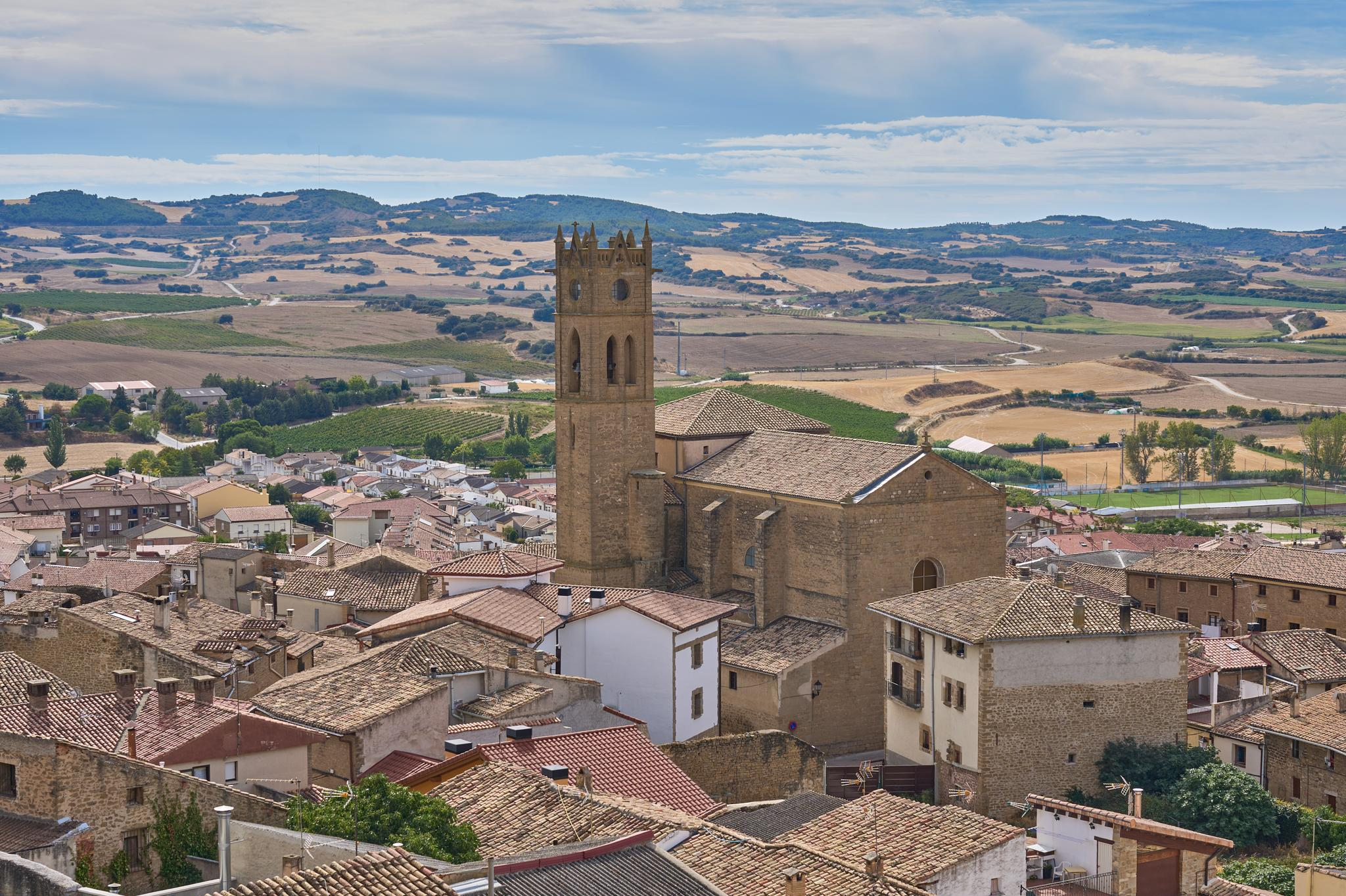
Path of the Templars — Path of the True Cross (GR 250)
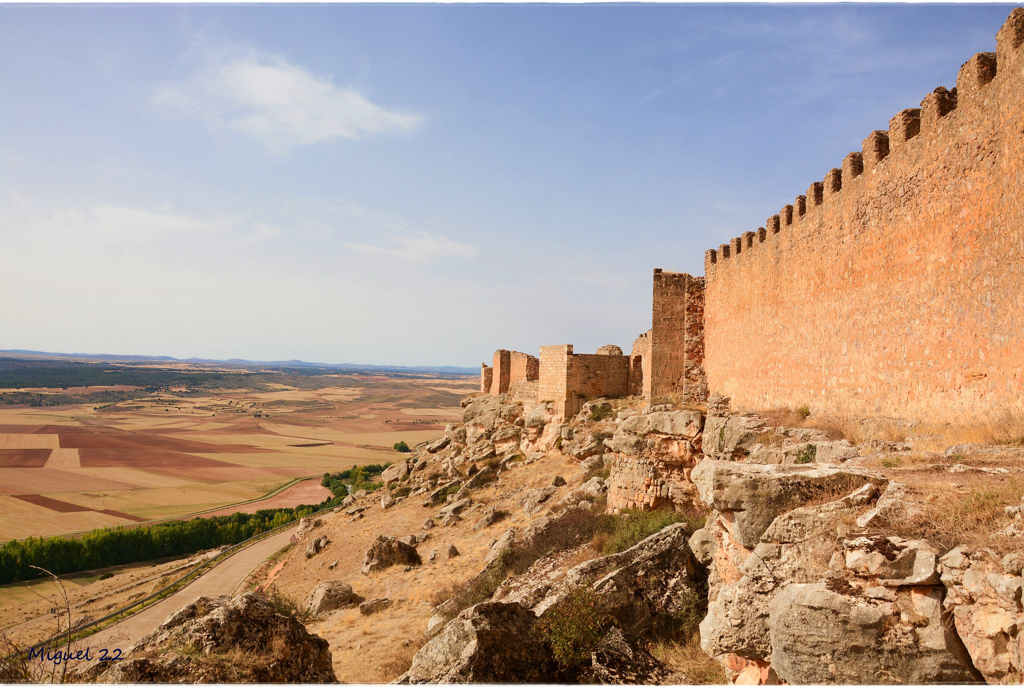
A journey through mediaeval Spain – El Camino del Cid (GR 160)
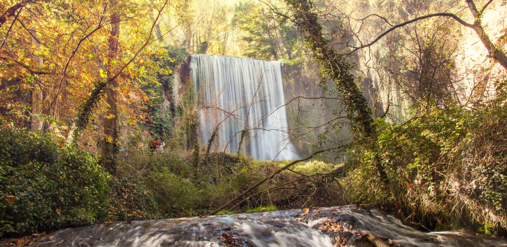
Landscapes of water and rock – Spain’s Jalón and Jiloca Trail (GR 24)
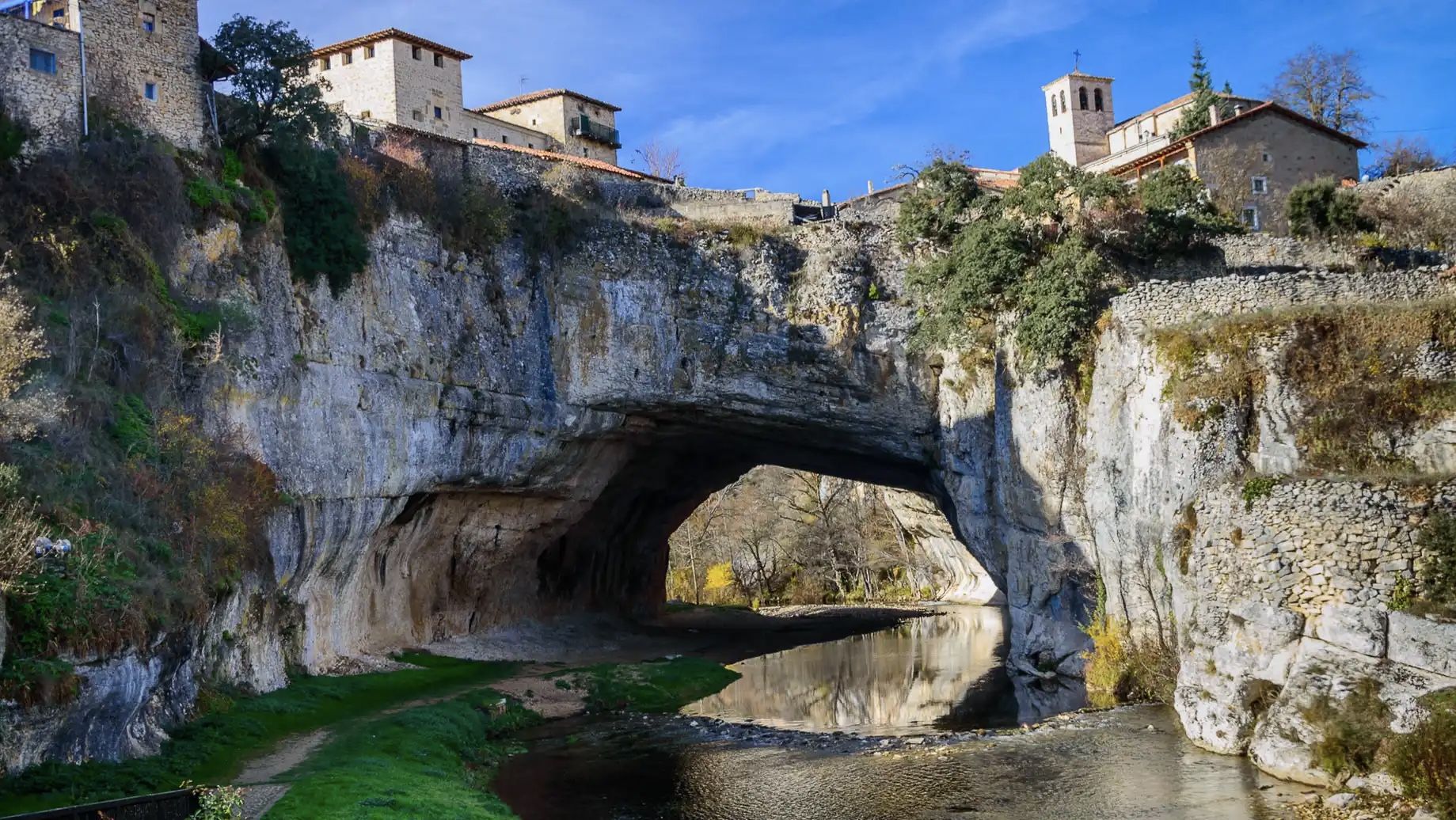
An epic getaway – Santander-Mediterráneo Nature Trail
The Three Taifas by gravel bike – El Camino del Cid
El Camino del Cid – The Three Taifas on MTB
The Way of El Cid by bike – The Three Taifas
Bike tour into the Spanish Middle Ages - the Camino del Cid
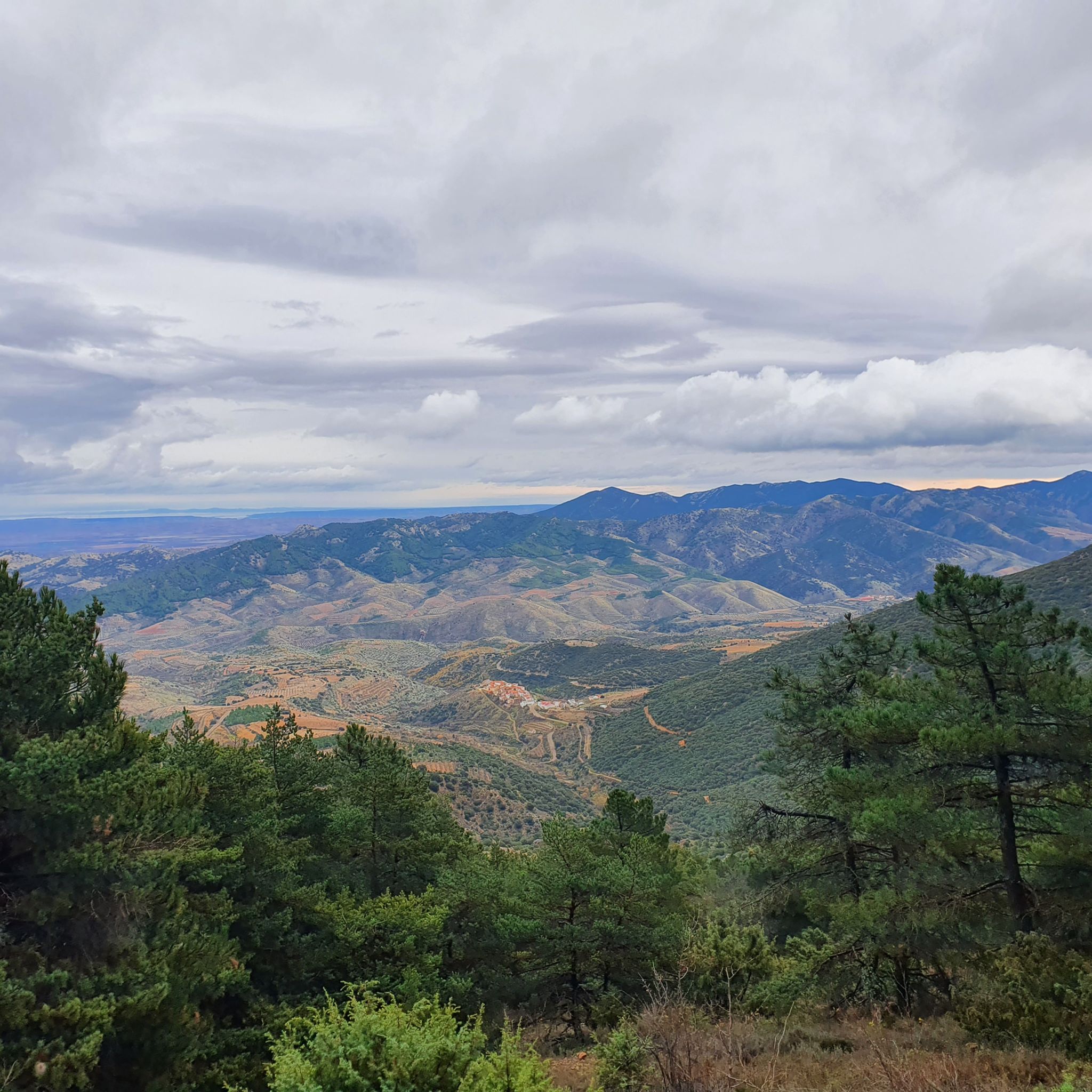
Hiking around Comunidad de Calatayud
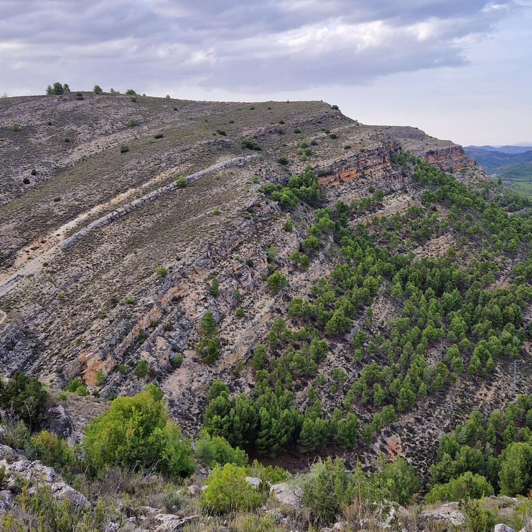
Road Cycling Routes around Comunidad de Calatayud
Other adventures around Comunidad de Calatayud


Tips from the Community

A legendary local climb. The surface was repaired some time ago, and despite some loose rock sections, it's now a relatively easy climb. However, the gradient remains the same. Once at the pass, you can complete the ascent to the summit along the path to your left, continue toward Carenas, or descend toward Ateca.
0
0

It is the highest point for many kilometers in the surrounding area (next to Pico de la Nevera, which cannot be accessed because it is a military installation). In summer there are fire surveillance personnel because it is a place with impressive views.
0
0

We are at the Pico del Rayo, the highest peak of the Sierra de Victor at 1427 masl with magnificent views of the Iberian System and Moncayo.
0
0
Located at an altitude of 1,433 meters, we find the cairn at the top of Alto de Cabrera, with a panoramic view of the Sierra de la Virgen.
2
0
At 1,412 meters above sea level is the rocky peak of Peña del Café. 1 km away is what separates us from Peña Guzmán, both located in the Sierra de la Virgen.
1
0
Located at 1307 meters of altitude we are in Pico Mingoaranda, with great views in the Sierra de la Virgen
1
0
Located at an altitude of 1,352 meters, we are in Peña de Guzmán with magnificent views between Mingoaranda and Peña del Café, all located in the Sierra de la Virgen.
1
0
At this point in the Sierra de Víctor we find the curious image of the statue of San Vicente, placed by the hunters, which is located on top of a rock. Very close, we will pass by the side of some ancient ruins of what was a cabin.
2
0
Frequently Asked Questions
What are the highest mountain peaks in Comunidad de Calatayud?
The highest peak in the region is Pico Cabrera (1,433 m) – Sierra de la Virgen, located in the Sierra de la Virgen range. Following closely is Pico del Rayo (1,427 m) in the Sierra de Vicort, which is the second highest peak in the Iberian System of Zaragoza. The Sierra de Pardos features Pico La Cruz as its highest point at 1,266 m.
Which mountain peaks offer the best panoramic views in the area?
For expansive views, Pico Cabrera (1,433 m) – Sierra de la Virgen provides a panoramic outlook over the Sierra de la Virgen. Pico del Rayo offers magnificent views of the Iberian System and Moncayo. Additionally, Cruz de Armantes is known for its beautiful landscape views of the Ribota valleys.
Are there any unique natural attractions or wildlife viewing opportunities in the mountains of Comunidad de Calatayud?
Yes, the Mirador de los Buitres near Calmarza is a significant natural attraction. It offers exceptional opportunities to observe griffon vultures nesting in the spectacular canyons formed by the Mesa River. The area is protected as a Site of Community Interest (LIC) and a Special Protection Area for Birds (ZEPA), highlighting its ecological value.
What kind of historical or cultural sites can be found near the mountain peaks?
The region has several historical and cultural points of interest. The Sierra de la Virgen is named after the Santuario de la Virgen de la Sierra, a Virgin Mary shrine. In the Sierra de Vicort, you can find ancient Celtiberian archaeological remains and the Ermita de Nuestra Señora de Jerusalen. The Sierra de Pardos is home to the depopulated village of Pardos, which features a preserved Muslim tower. You can also find the Statue of San Vicente in the Sierra de Vicort.
What types of outdoor activities are available near the mountain peaks of Comunidad de Calatayud?
The region offers a variety of outdoor activities, primarily hiking and gravel biking. You can find numerous routes for different skill levels. For hiking, explore options like the Monasterio de Piedra Waterfalls Trail or the Ascent to Pico del Rayo Trail. For gravel biking, routes such as the Puerta Baja de Daroca loop are popular. You can find more details on these activities in the Hiking around Comunidad de Calatayud and Gravel biking around Comunidad de Calatayud guides.
Are there easy hiking trails suitable for beginners or families near these mountain peaks?
Yes, there are several easy hiking routes. Examples include the Monasterio de Piedra Waterfalls Trail, the Meandro de Chodes y Morata de Jalón circular route, and the Moros - La Cerrada - Peirón de San Roque loop. These trails offer accessible options for those looking for less challenging walks. More easy routes can be found in the Easy hikes around Comunidad de Calatayud guide.
What makes the Sierra de Vicort unique among the mountain ranges?
The Sierra de Vicort is notable for being home to Pico del Rayo, the highest point in the range and the second highest in the Iberian System of Zaragoza. It also features Pico de la Nevera, which houses the distinctive globe-shaped radar of the Escuadrón de Vigilancia Aérea n°1 (E.V.A. 1). The range is characterized by varied vegetation, ancient Celtiberian archaeological remains, and the Ermita de Nuestra Señora de Jerusalen.
What kind of vegetation and wildlife can I expect to see in the mountain ranges?
The mountain ranges feature diverse vegetation. The Sierra de la Virgen has low maquis shrub, reforested pine, juniper, and holm oak. The Sierra de Vicort is predominantly covered by holm oaks and pines, alongside Mediterranean scrub. The Sierra de Pardos boasts dense reforested pine forests and thick holm oak groves. Wildlife is abundant, especially in Sierra de Pardos, which is rich in deer, wild boars, partridges, and rabbits. The Mirador de los Buitres is excellent for observing griffon vultures.
Can I find any viewpoints overlooking reservoirs or lakes in the area?
Yes, the View of the Tranquera Reservoir from Cerro de Somé offers beautiful vistas of the Tranquera reservoir from an altitude of 817 meters. The path to this viewpoint is clearly visible, providing a scenic spot for observation.
What is the significance of the Sierra de la Virgen?
The Sierra de la Virgen is significant for being home to Pico Cabrera (1,433 m) – Sierra de la Virgen, the highest point in the range and the entire Comunidad de Calatayud. It is also named after the Santuario de la Virgen de la Sierra, a Virgin Mary shrine located in its heights, making it a place of both natural beauty and cultural importance.
Are there any challenging climbs for experienced hikers?
For those seeking a challenge, the Ascent to La Chichulana is an option. Additionally, the Pico del Rayo climb, while offering magnificent views, is considered a moderate to challenging ascent. More difficult routes like the Rock paintings of Roca Benedí and Calmarza Waterfall circular from Jaraba Sanctuary can be found in the Hiking around Comunidad de Calatayud guide.
What is special about the Sierra de Pardos?
The Sierra de Pardos is characterized by its dense reforested pine forests and thick holm oak groves, contributing to a rich wildlife population including deer and wild boars. Its highest point is Pico La Cruz, named for a large cross at its summit. The region also has historical interest with the depopulated village of Pardos and its preserved Muslim tower, and is known for its viticulture under the D.O. Calatayud.
Most popular routes around Comunidad de Calatayud
Most popular attractions around Comunidad de Calatayud

Get inspired with the komoot mobile app


Didn’t find what you were looking for?
Discover Comunidad de Calatayud’s best peaks and summits by region:
Explore more
See even more amazing summits around Comunidad de Calatayud with these guides:
