The best running trails around La Sierra Sur
4.6
(10)
499
runners
48
runs
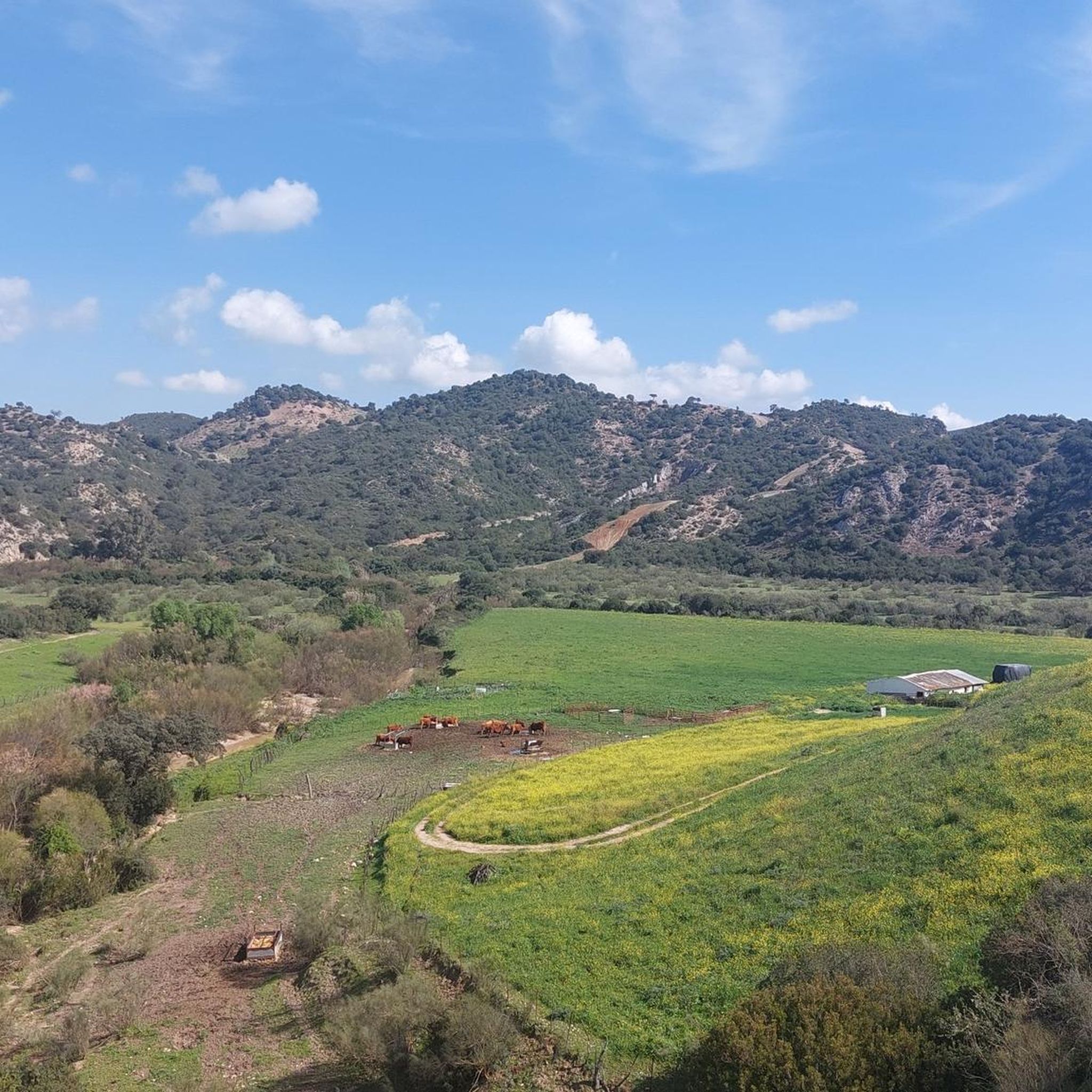
Jogging routes around La Sierra Sur traverse a diverse landscape, characterized by mountainous terrain, lush forests, and deep canyons. The region features significant elevation gains, providing panoramic views across its varied environments. Runners can experience a mix of challenging ascents and descents, with trails winding through natural features like the Sierra del Tablón. This area offers a range of running experiences, from more accessible paths to demanding routes with considerable elevation changes.
Best jogging routes around La Sierra Sur
- The…
Last updated: May 10, 2026
5.0
(1)
60
runners
15.3km
02:05
560m
560m
This difficult 9.5-mile jogging route in Sierra de San Pablo offers panoramic views, varied terrain, and leads to the historic Castillo de C
10
runners
Moderate run. Good fitness required. Mostly paved surfaces. Suitable for all skill levels.

Sign up for free
1
runners
19.0km
03:04
850m
850m
Hard run. Very good fitness required. Sure-footedness, sturdy shoes and alpine experience required.
15.0km
02:02
640m
640m
Jog this difficult 9.3-mile loop in Sierra del Tablón, gaining 2097 feet to Peñón de Algámitas for panoramic views.
5.0
(1)
53
runners
17.8km
03:36
1,300m
1,300m
Hard run. Very good fitness required. Sure-footedness, sturdy shoes and alpine experience required.
29
runners
Hard run. Very good fitness required. Mostly paved surfaces. Suitable for all skill levels.
22
runners
12.5km
01:23
100m
100m
Moderate run. Good fitness required. Mostly paved surfaces. Suitable for all skill levels.
21
runners
17.3km
02:20
610m
610m
Hard run. Very good fitness required. Mostly paved surfaces. Suitable for all skill levels.
5.0
(1)
18
runners
18.1km
02:21
420m
420m
Hard run. Very good fitness required. Mostly paved surfaces. Suitable for all skill levels.
16
runners
23.0km
02:54
470m
470m
Hard run. Very good fitness required. Mostly paved surfaces. Suitable for all skill levels.
Get access to more routes and recommendations from other explorers.
Sign up for free
Already have an account?
Our route recommendations are based on thousands of hikes, rides, and runs completed by other people on komoot.
Start today with a free account
Your next adventure awaits.
Login or Signup
Popular around La Sierra Sur

Running Trails around Río Corbones
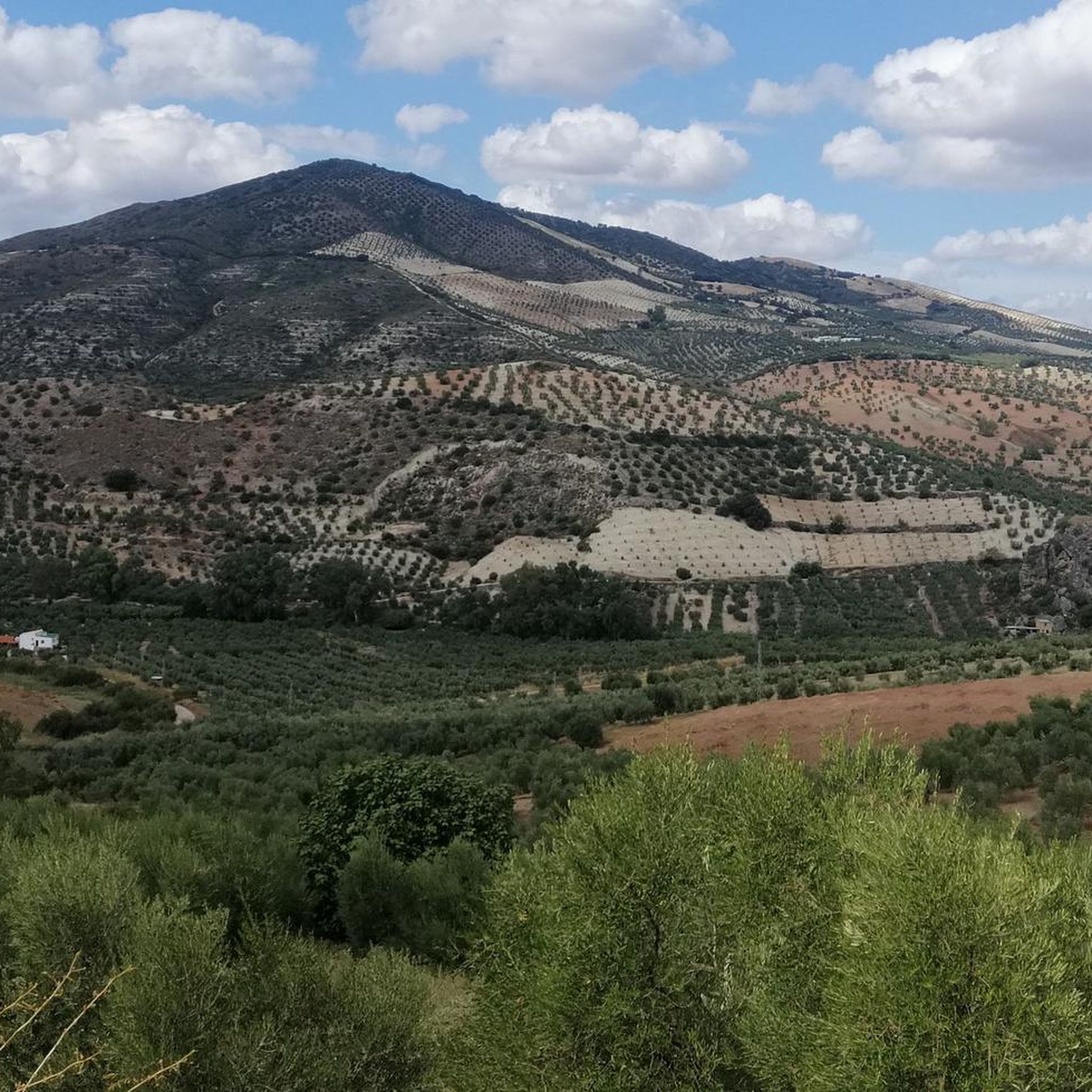
Running Trails around Pruna
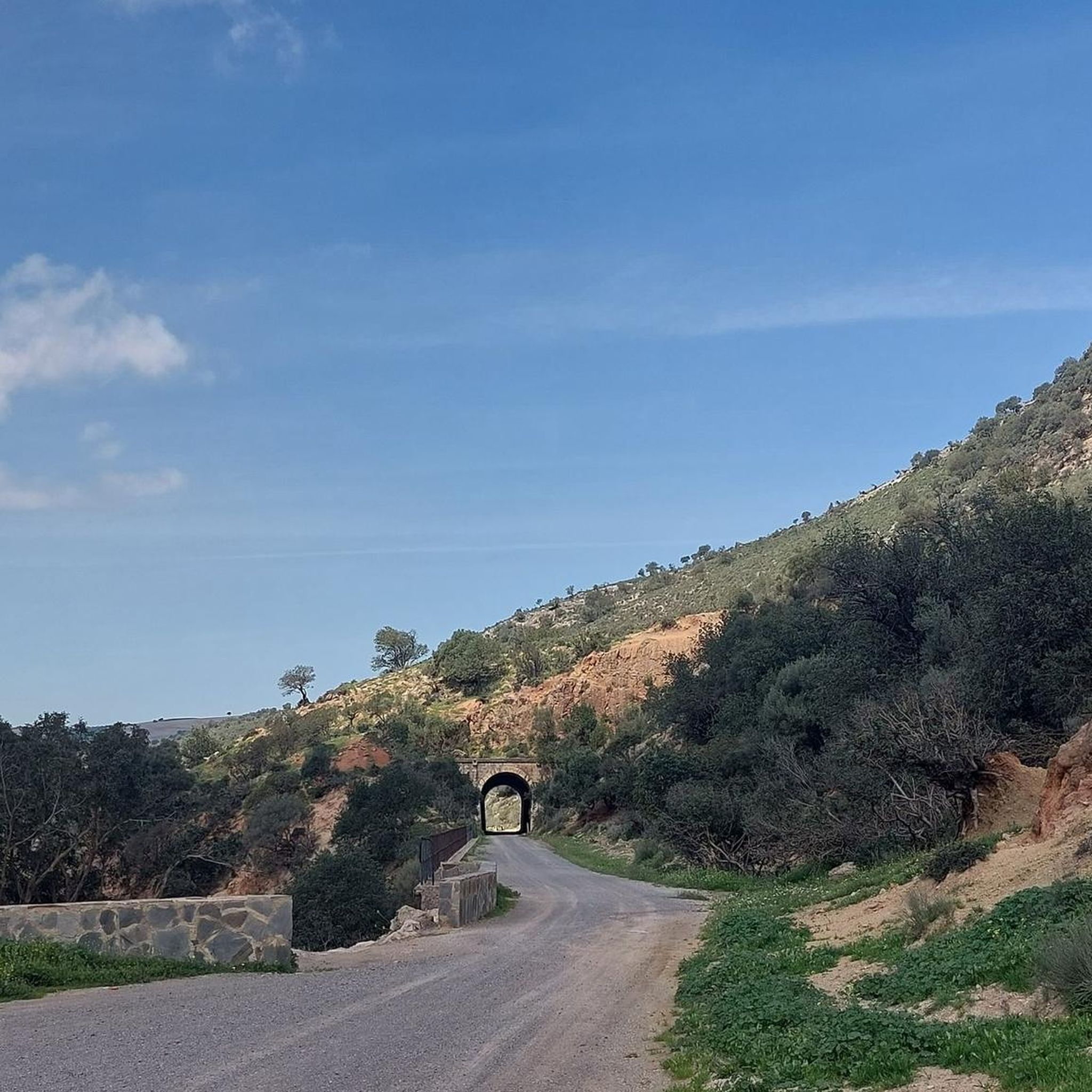
Running Trails around Puerto Serrano
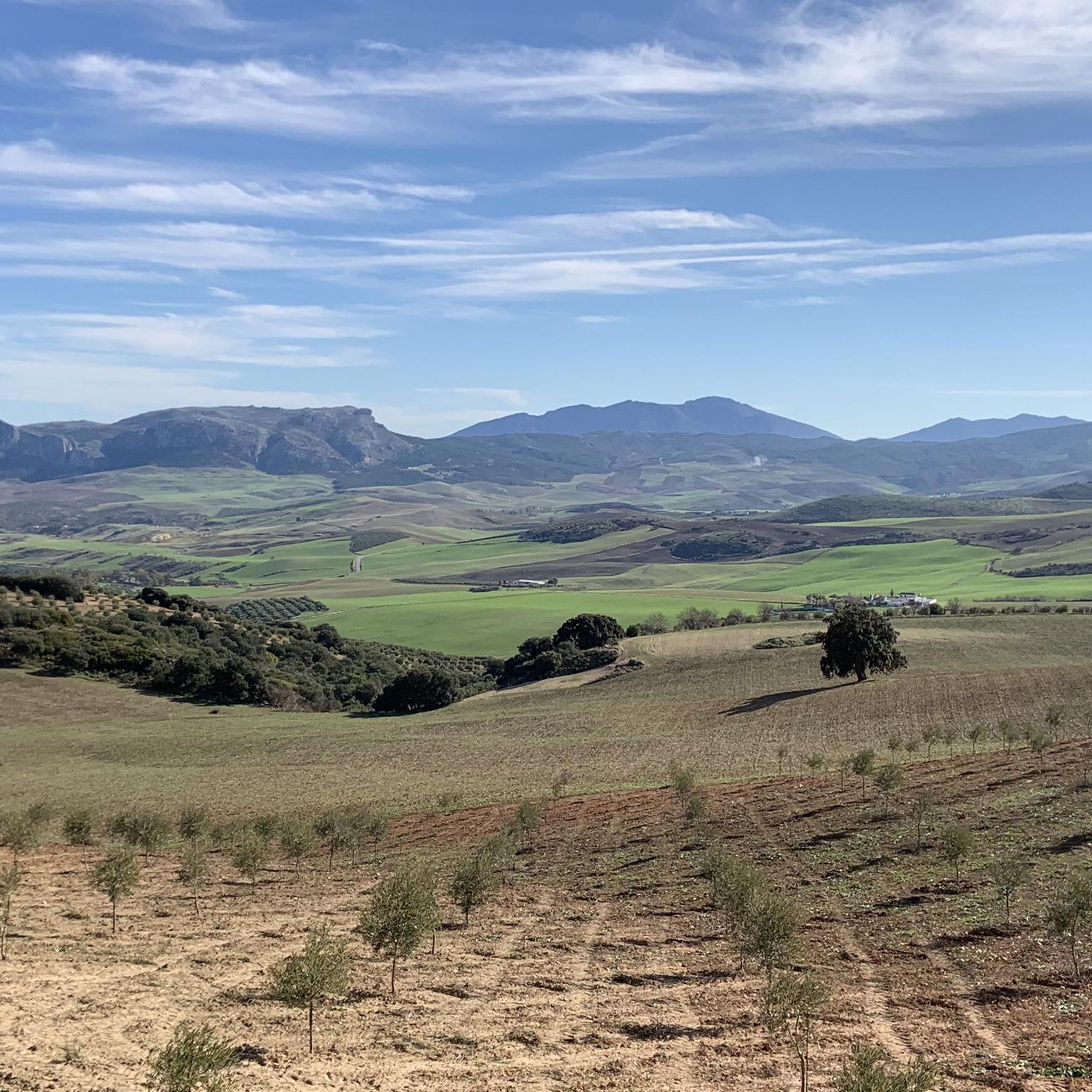
Running Trails around El Saucejo
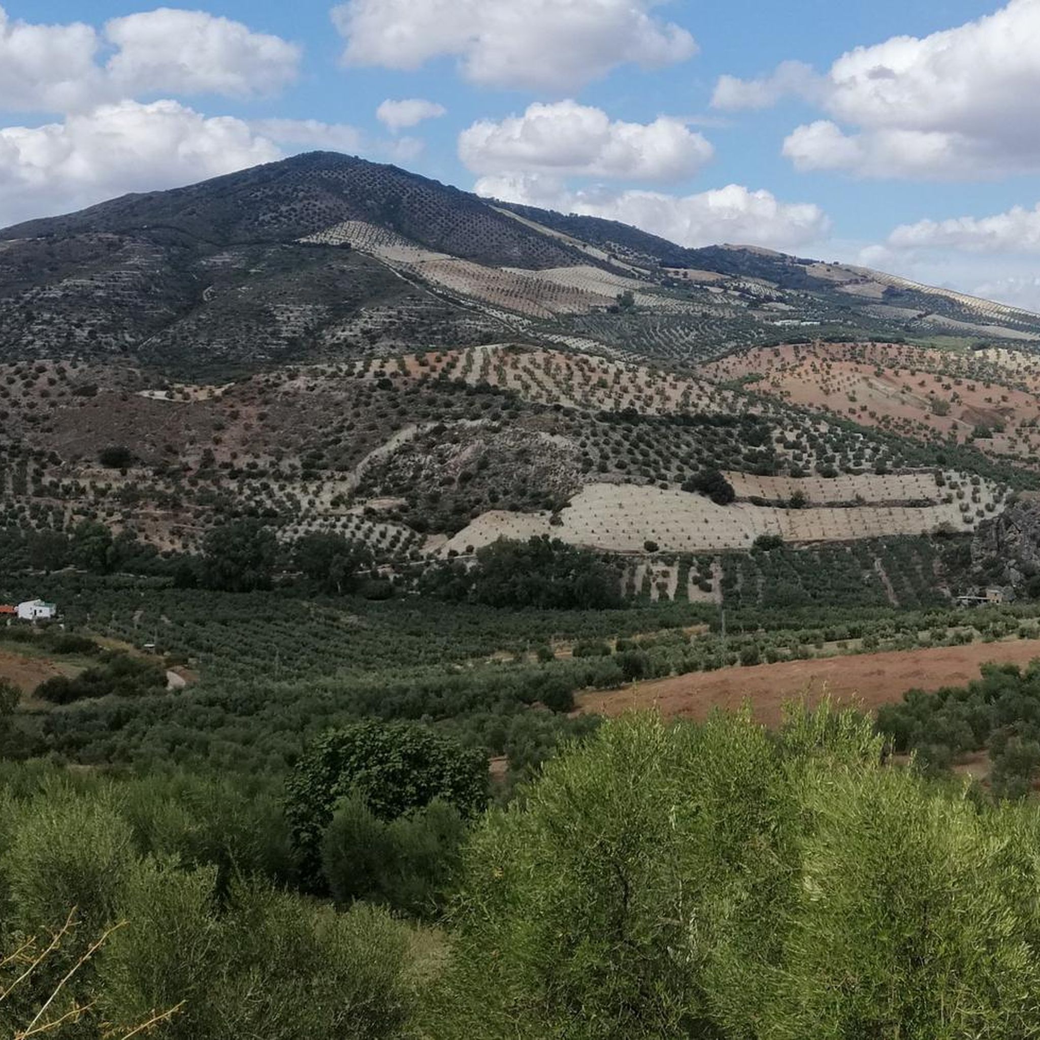
Running Trails around Algámitas
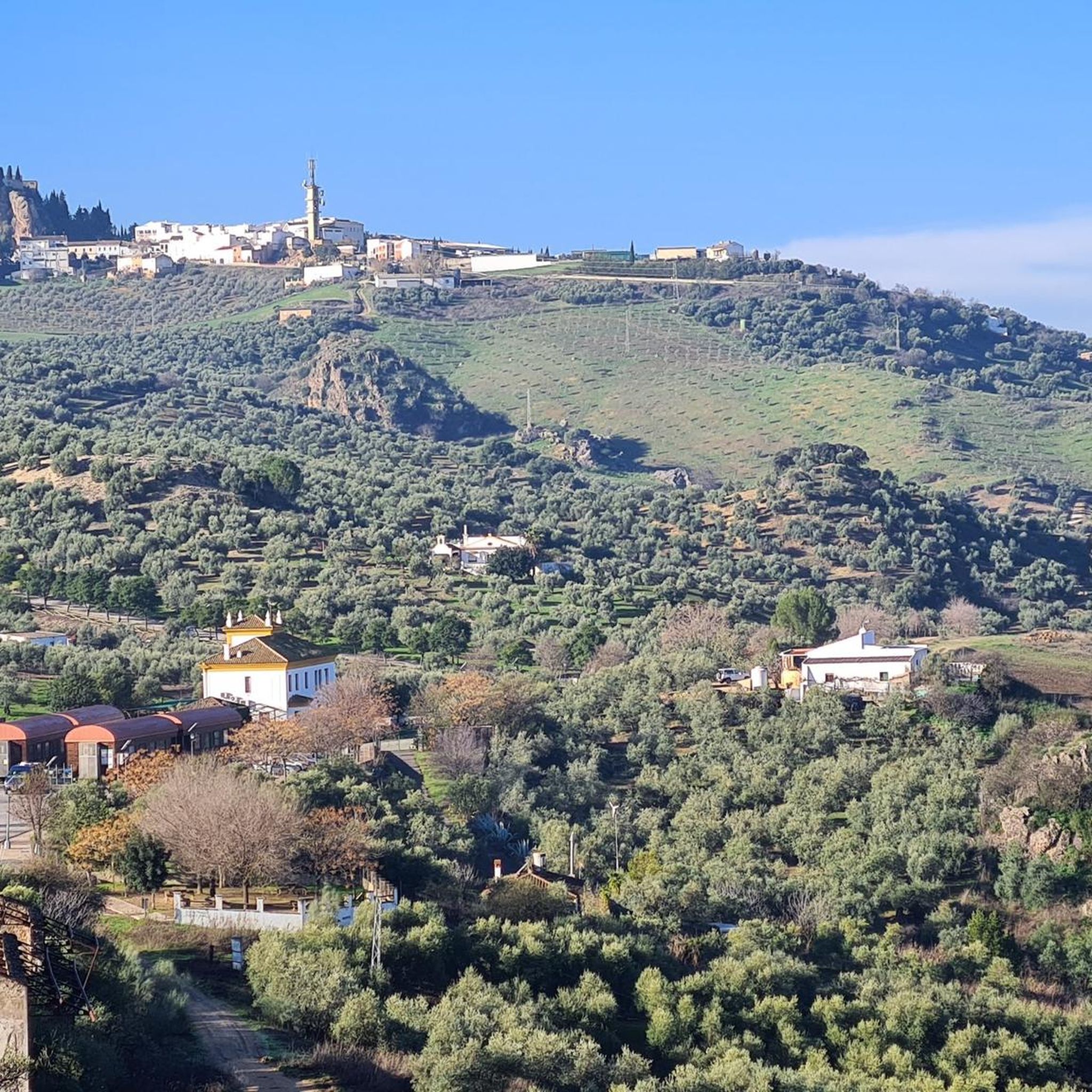
Running Trails around Villanueva De San Juan
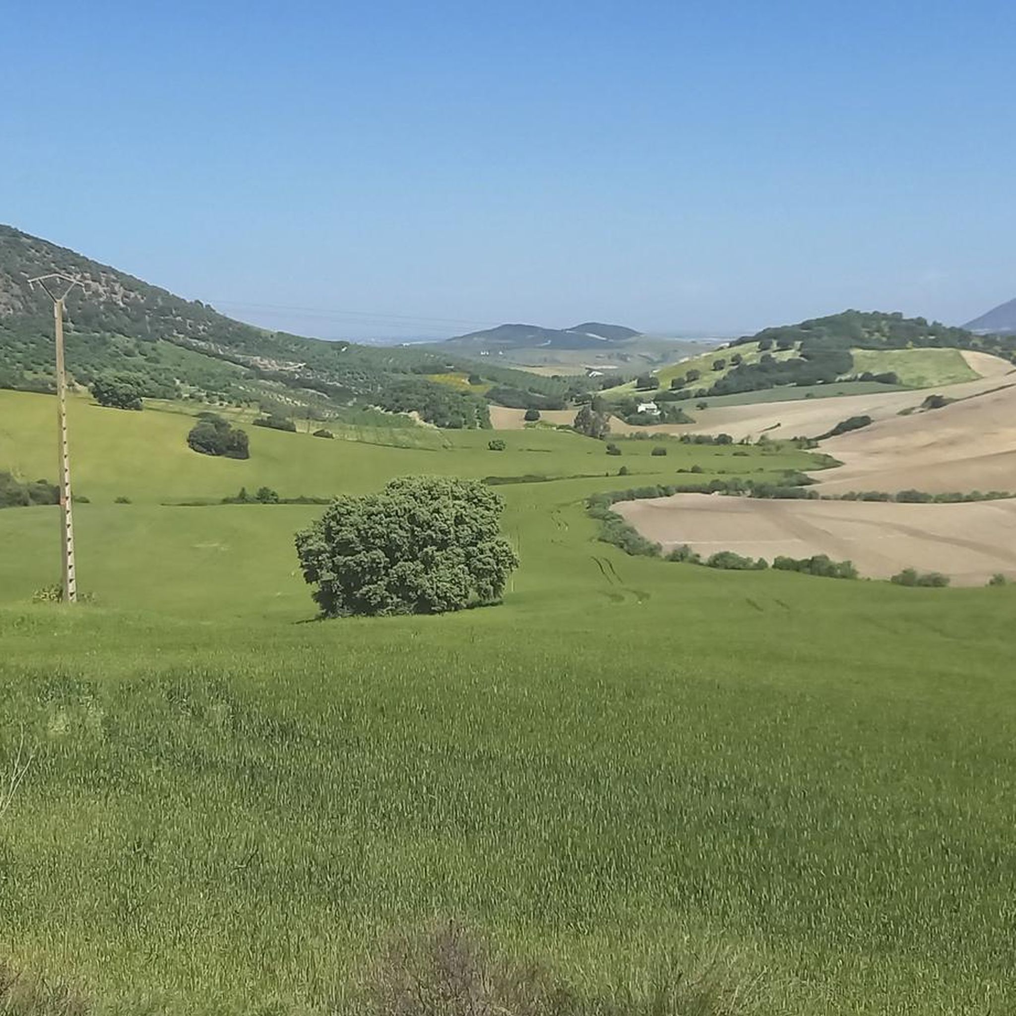
Running Trails around Montellano
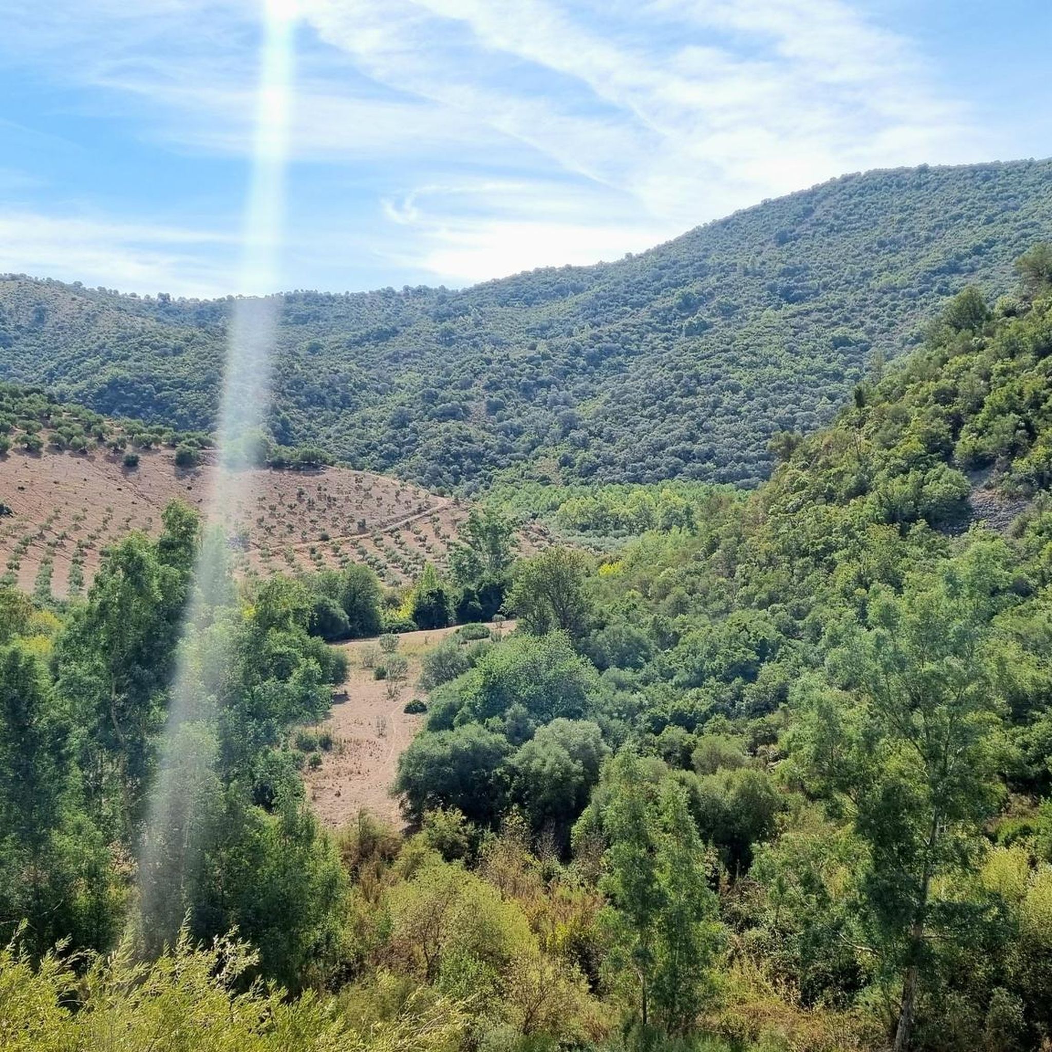
Running Trails around Coripe
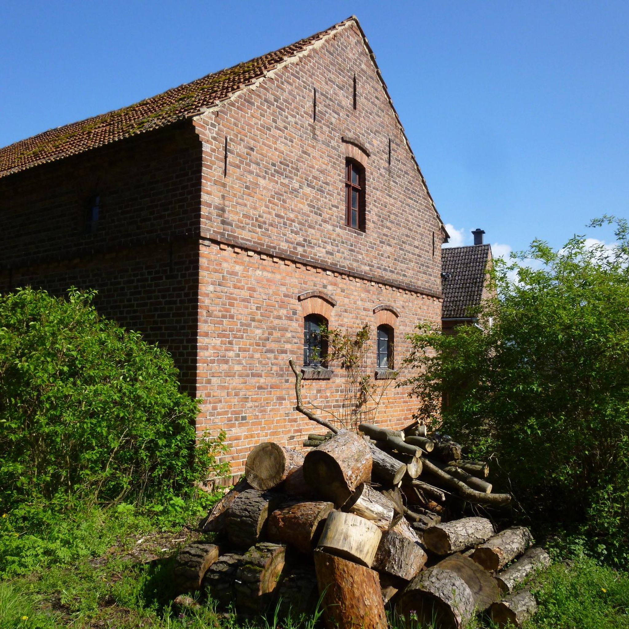
Running Trails in Laguna De Coripe
Running Trails around La Puebla De Cazalla
Other adventures around La Sierra Sur

Tips from the Community


A 135-meter-long viaduct, built using rectangular truncated pyramidal pilasters with mortared ashlars, is formed by the repetition of seven identical arches. It was built to span the Guadalporcún River crossing before it meets the Guadamanil River. The latter originates in the Sierra de la Lebrona mountain range in the municipality of Pruna (Seville) and flows into the Guadalporcún River just a few meters from the viaduct. The confluence of the rivers has created a wide floodplain. From this railway infrastructure, there is a privileged view of the Estrechón Canyon, a natural passage carved by the Guadalporcún River to traverse the foothills of the Zaframagón Rock. Just below, on the left bank of the Guadalporcún, we find the ruined building of what was once the Zaframagón mill. A little further west, other ruins can be seen. It is a small town built for workers on the railway line construction site.
8
0

The Peñón de Algámitas is an impressive rock formation located in the Sierra del Tablón, in the province of Seville, Andalusia. With an altitude of 1,121 metres, it is one of the highest points in the province and offers spectacular views of the surrounding area.
6
0
This viewpoint is part of a hiking route that also includes the Mirador de la Cancha and the Castillo de Cote. The complete route is approximately 11.5 km and is circular.
6
0
This rock is known for its impressive landscape and its value as a natural viewing point over the surrounding olive groves. Typical vegetation includes holm oaks, cork oaks, wild olive trees and other Mediterranean species. In addition, it is a popular place for recreational and sporting activities such as hiking and climbing.
4
0
This rock is known for its impressive landscape and its value as a natural viewing point over the surrounding olive groves. Typical vegetation includes holm oaks, cork oaks, wild olive trees and other Mediterranean species. In addition, it is a popular place for recreational and sporting activities such as hiking and climbing.
4
0
Collado Sierra de Tablón is a highlight on the circular route that includes Sierra de Tablón and El Terril, near Algámitas, in the province of Seville. This route is known for its difficulty, requiring good physical fitness and experience in high mountains.
4
0
Frequently Asked Questions
What kind of terrain can I expect on the running routes in La Sierra Sur?
The running routes in La Sierra Sur offer a diverse landscape, characterized by mountainous terrain, lush forests, and deep canyons. You'll encounter significant elevation gains, providing panoramic views. Expect a mix of challenging ascents and descents, with trails winding through natural features like the Sierra del Tablón. Some paths are paved, while others are unpaved, catering to various preferences.
Are there easy running routes available for beginners or casual joggers?
Yes, La Sierra Sur offers options for various ability levels. While many routes feature significant elevation, there are 2 easy routes among the 51 available. For example, the region research mentions the Lollipop Route loop from La Puebla de Cazalla as a more accessible option, with mostly paved surfaces, suitable for various fitness levels.
What are some of the more challenging running routes in La Sierra Sur?
For experienced trail runners seeking significant elevation changes and technical terrain, La Sierra Sur has plenty to offer, with 27 difficult routes. Notable challenging options include the Sierra de Tablón y El Terril — circular desde Algámitas, which covers 11.8 miles with substantial elevation. Another demanding run is the Cordel de Morón and Peñón de Algámitas Loop, a 9.3-mile route with over 2000 feet of elevation gain.
Are there any circular running routes in the area?
Yes, many of the running routes in La Sierra Sur are circular, allowing you to start and finish at the same point. Examples include the Castillo de Cote Loop, the Sierra de Tablón y El Terril — circular desde Algámitas, and the El Terril – Peñón de Algámitas loop from Restaurante Mirador.
What natural landmarks or scenic viewpoints can I discover along the running routes?
La Sierra Sur is rich in natural beauty and offers several scenic viewpoints. You can encounter landmarks like the Peñón de Zaframagón Nature Reserve and El Chaparro de la Vega. Routes like the Puerto del Acebuche Viewpoint – Castillo de Cote loop offer stunning vistas. The region research also mentions areas with natural waterfalls, such as Chorreras del Río Vadillo, providing beautiful views for nature lovers.
Are there any routes that pass by historical sites or interesting attractions?
Yes, some routes offer glimpses of historical or cultural interest. For instance, the Castillo de Cote Loop passes by the Castillo de Cote, offering a historical element to your run. Additionally, the El Chaparro de la Vega y Peñón de Zaframagón — round trip Vía Verde de la Sierra includes sections along the Vía Verde de la Sierra, a converted railway line that is an attraction in itself.
What do other runners say about the jogging routes in La Sierra Sur?
The running routes in La Sierra Sur are highly rated by the komoot community, with an average score of 4.6 stars from more than 10 reviews. Over 500 runners have used komoot to explore the varied terrain, often praising the challenging ascents, panoramic views, and the opportunity to connect with nature.
Are the running trails in La Sierra Sur suitable for families?
While many routes in La Sierra Sur feature significant elevation and can be challenging, there are also more accessible options. For families, it's advisable to look for routes described as 'easy' or 'moderate' in difficulty. The Lollipop Route loop from La Puebla de Cazalla, for example, is noted for being more accessible with mostly paved surfaces, which might be suitable for families with varying fitness levels.
Can I bring my dog on the running trails in La Sierra Sur?
Generally, many outdoor trails in natural areas are dog-friendly, especially if dogs are kept on a leash. However, specific regulations can vary by location or nature reserve within La Sierra Sur. It's always recommended to check local signage or specific route descriptions for any restrictions regarding dogs, particularly in protected areas like the Peñón de Zaframagón Nature Reserve.
Are there places to eat or drink near the running routes?
Yes, you can find amenities near some of the routes. For instance, the Hostal Restaurante Estación de Coripe is located near the Vía Verde de la Sierra, which is part of routes like the El Chaparro de la Vega y Peñón de Zaframagón — round trip Vía Verde de la Sierra. This provides a convenient stop for refreshments or a meal after your run.
What is the best time of year to go running in La Sierra Sur?
La Sierra Sur offers diverse environments suitable for running throughout the year, but conditions vary. The mountainous terrain and varied ecosystems mean that spring and autumn generally provide the most pleasant temperatures for longer runs. Summers can be hot, especially at lower elevations, while winters can bring cooler temperatures to higher peaks. Always check the local weather forecast before heading out.
How many running routes are available in La Sierra Sur?
There are over 50 running routes available in La Sierra Sur, offering a wide range of distances and difficulty levels to suit different preferences and fitness levels.
Most popular routes around La Sierra Sur
Most popular attractions around La Sierra Sur

Get inspired with the komoot mobile app


Didn’t find what you were looking for?
Check out more Running Trails & Routes throughout La Sierra Sur below and find the perfect route in your destination.
Explore more
Browse the best Running Trails & Routes in other regions.
