The best cycling routes around La Sierra Sur
4.2
(34)
464
riders
63
rides
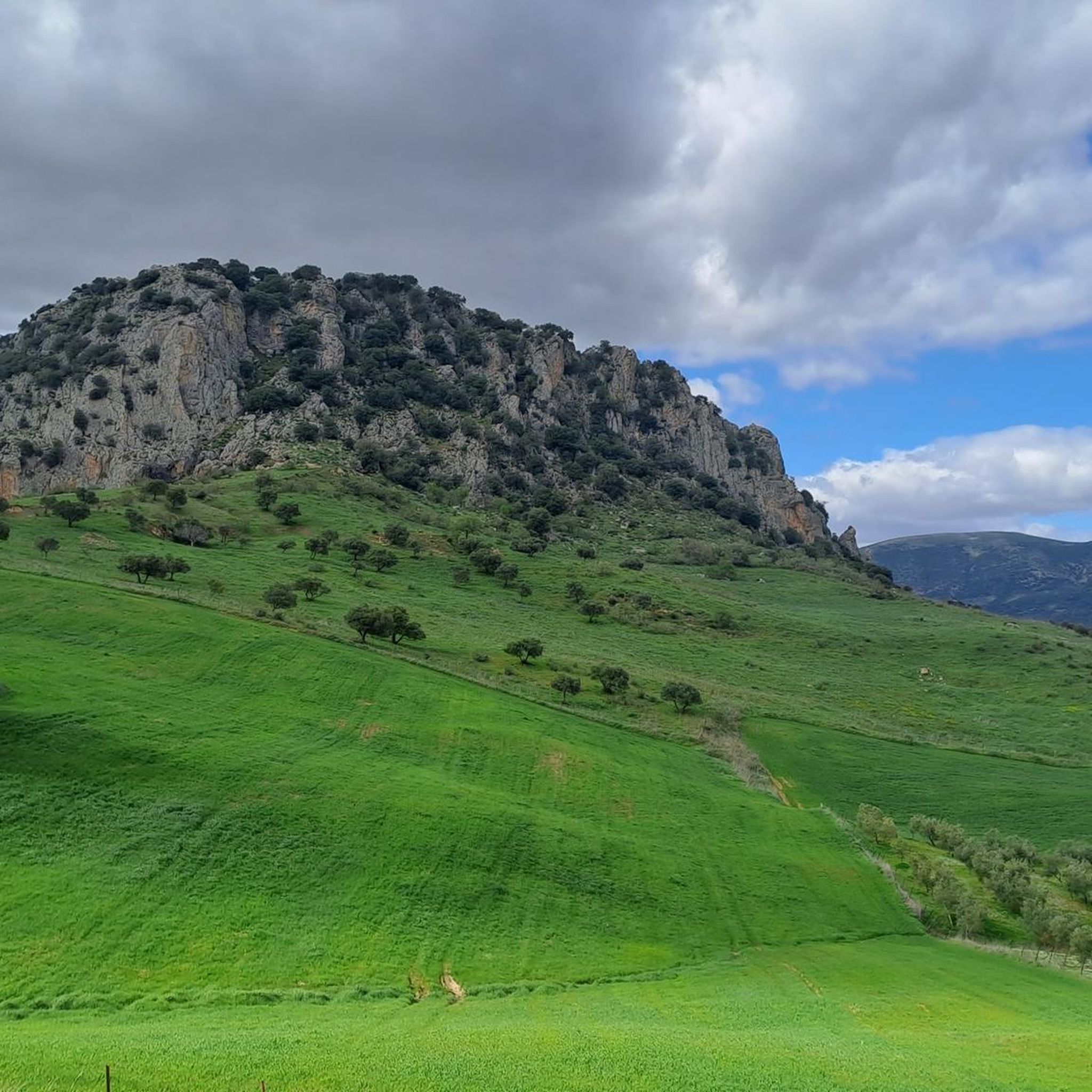
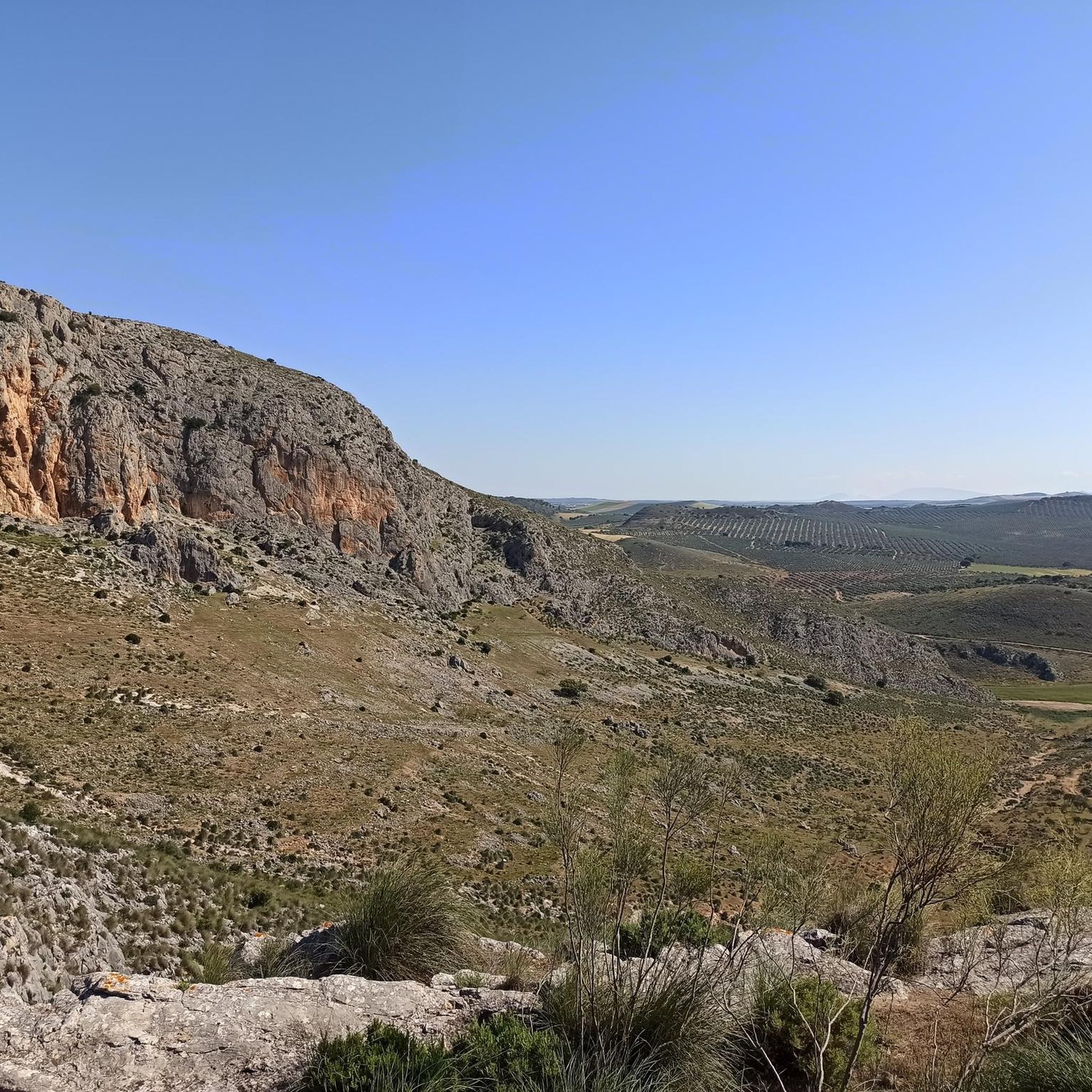
Touring cycling routes around La Sierra Sur, located in the province of Sevilla, Spain, traverse a landscape characterized by rugged peaks, deep valleys, and lush forests. The region features various mountain ranges, including the Sierra de la Pandera, and natural reserves such as the Peñon de Zaframagon. Many routes utilize converted railway lines, like the Vía Verde de la Sierra, providing scenic paths for cyclists. This area offers diverse terrain, from river corridors to elevated viewpoints.
Best touring cycling routes…
Last updated: May 18, 2026
2
riders
Moderate bike ride. Good fitness required. Mostly paved surfaces. Suitable for all skill levels.
4.7
(26)
142
riders
34.8km
02:23
470m
470m
Hard bike ride. Very good fitness required. Mostly paved surfaces. Suitable for all skill levels.

Sign up for free
3.0
(1)
18
riders
51.3km
03:22
750m
750m
Hard bike ride. Very good fitness required. Mostly paved surfaces. Suitable for all skill levels.
15
riders
44.5km
04:13
1,300m
1,300m
Hard bike ride. Very good fitness required. Mostly paved surfaces. Suitable for all skill levels.
4.0
(1)
13
riders
47.8km
04:18
220m
220m
Moderate bike ride. Good fitness required. Mostly paved surfaces. Suitable for all skill levels.
5.0
(1)
12
riders
48.6km
03:39
920m
920m
Hard bike ride. Very good fitness required. Mostly paved surfaces. Suitable for all skill levels.
13
riders
23.6km
01:28
240m
240m
Moderate bike ride. Good fitness required. Mostly paved surfaces. Suitable for all skill levels.
11
riders
47.4km
04:43
920m
920m
Hard bike ride. Very good fitness required. You may need to push your bike for some segments of this route.
5.0
(1)
12
riders
40.5km
03:00
870m
870m
Hard bike ride. Very good fitness required. Mostly paved surfaces. Suitable for all skill levels.
13
riders
23.6km
01:27
240m
240m
Moderate bike ride. Good fitness required. Mostly paved surfaces. Suitable for all skill levels.
Get access to more routes and recommendations from other explorers.
Sign up for free
Already have an account?
Our route recommendations are based on thousands of hikes, rides, and runs completed by other people on komoot.
Start today with a free account
Your next adventure awaits.
Login or Signup
Other adventures around La Sierra Sur

Tips from the Community

This water is delicious. When I was little, they said it was good for my appetite.
0
0

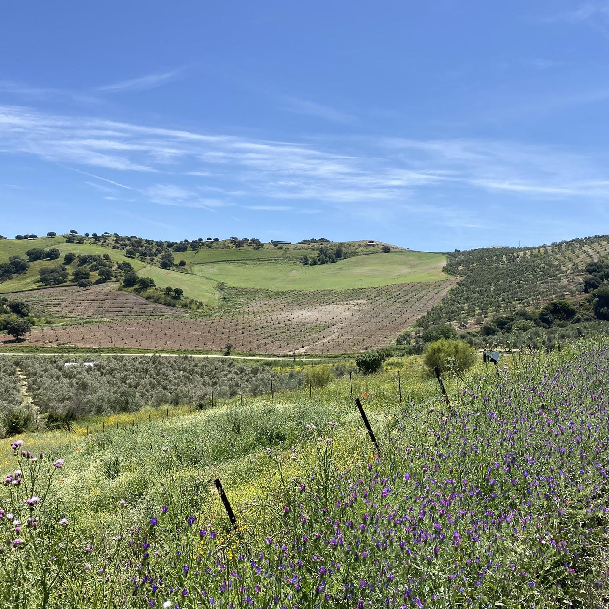
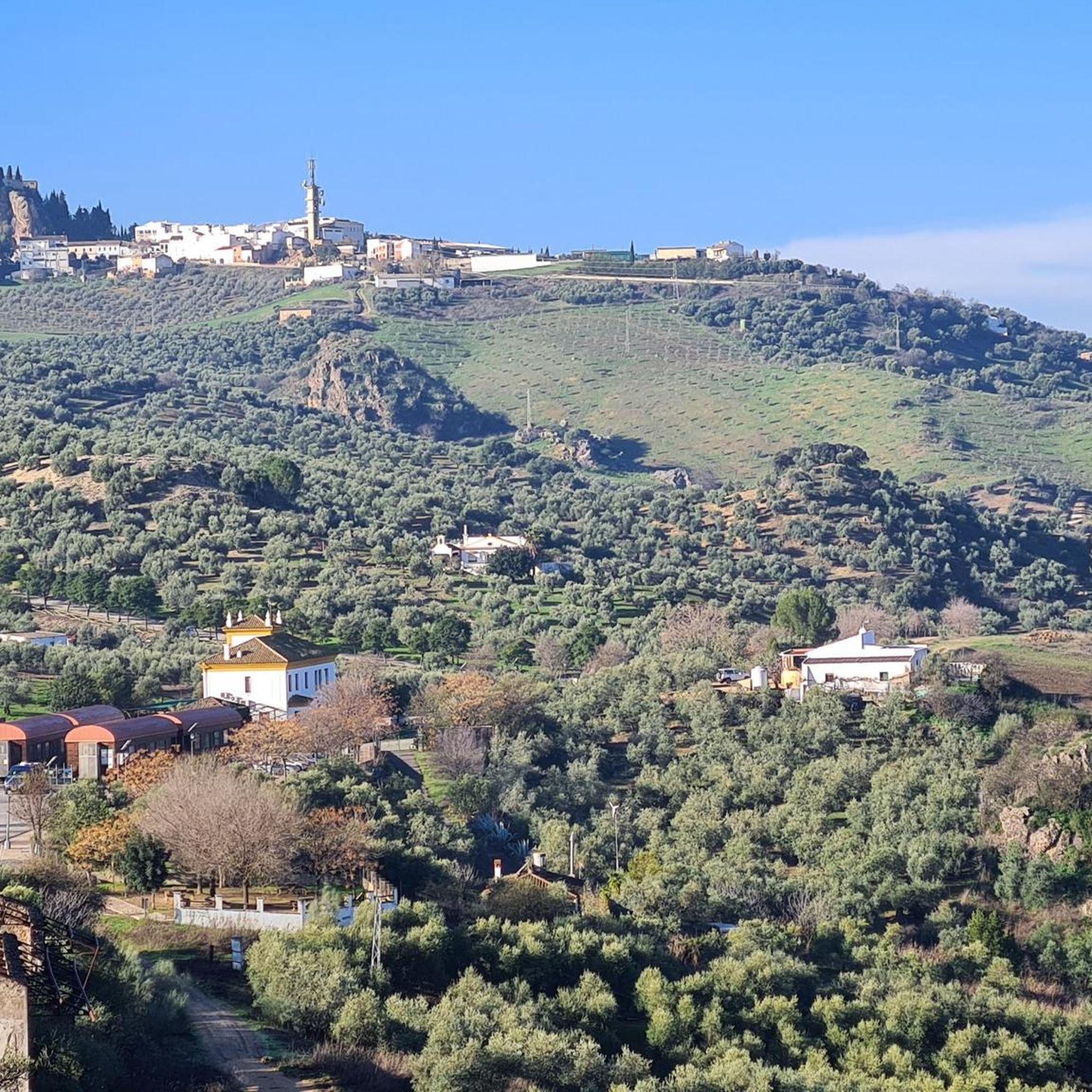
Amazing views over the valley of Algodonales
0
0

Now the highlight is right 👍; Picnic spot with beautiful panoramas.
8
0
A 135-meter-long viaduct, built using rectangular truncated pyramidal pilasters with mortared ashlars, is formed by the repetition of seven identical arches. It was built to span the Guadalporcún River crossing before it meets the Guadamanil River. The latter originates in the Sierra de la Lebrona mountain range in the municipality of Pruna (Seville) and flows into the Guadalporcún River just a few meters from the viaduct. The confluence of the rivers has created a wide floodplain. From this railway infrastructure, there is a privileged view of the Estrechón Canyon, a natural passage carved by the Guadalporcún River to traverse the foothills of the Zaframagón Rock. Just below, on the left bank of the Guadalporcún, we find the ruined building of what was once the Zaframagón mill. A little further west, other ruins can be seen. It is a small town built for workers on the railway line construction site.
8
0
Just a few meters from the birdwatching observatory are the Visitor Reception Center and the Zaframagón Cantina, an ideal place to familiarize yourself with the Vía Verde's surroundings and a convenient spot to take a break and recharge. Managed by the Sierra Greenway Astronomical Association, the Vía Verde de la Sierra offers tours for astronomical observation and photography, as well as hiking, cycling, and birdwatching. Enjoy the opportunity to have a snack and rest.
7
0
One of the most beautiful cycle paths in Europe!
9
0
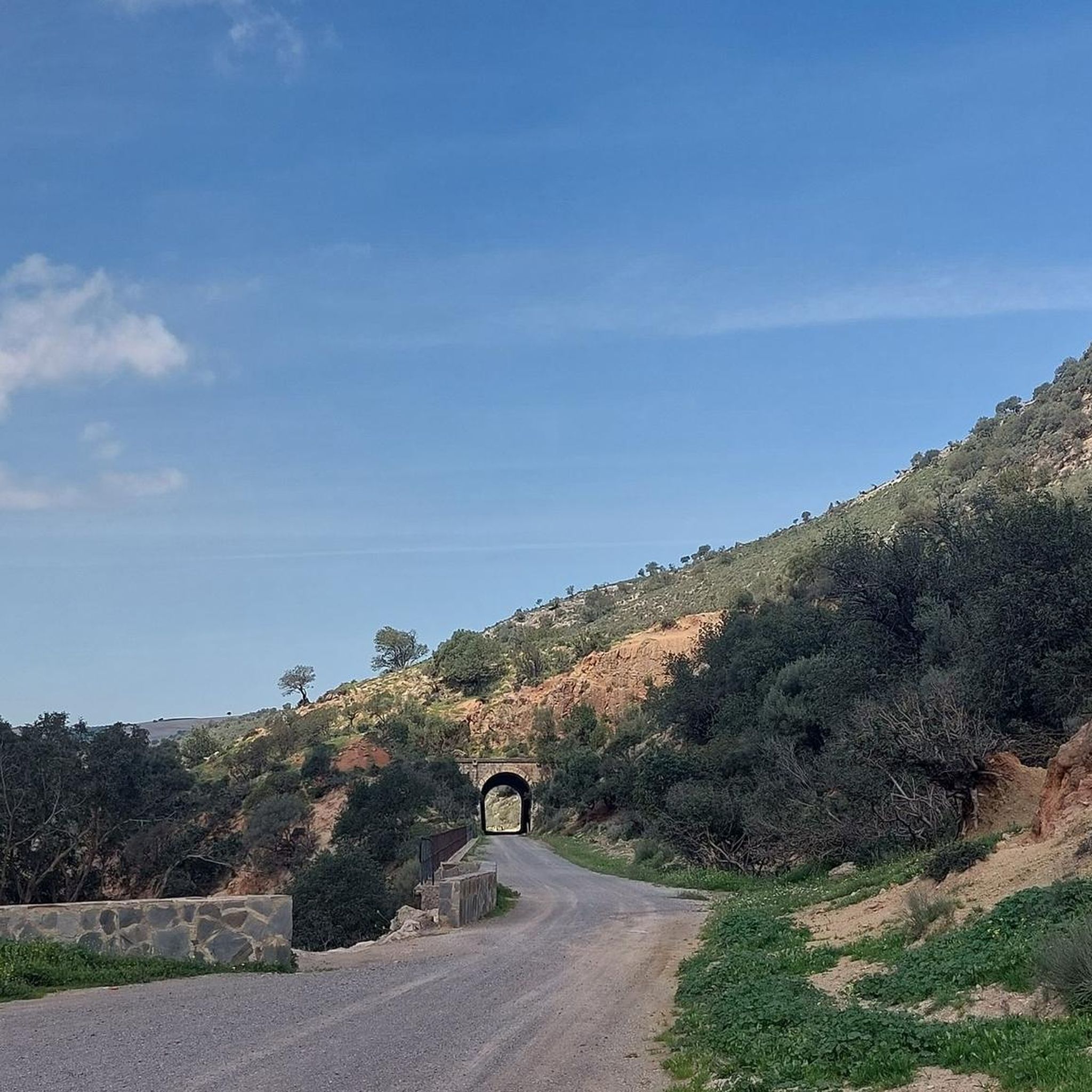
Railway tunnel no. 20 of the Sierra Greenway Nature Trail. Located 310 meters from the previous tunnel, it is 175 meters long and provided with artificial lighting; however, a flashlight is recommended. This tunnel is excavated in black limestone. The tunnels in this railway section were constructed using shoring (supporting the excavation) with wooden beams and props, followed by formwork for the concrete slab that supports the tunnel. The tunnel entrance is finished with hewn limestone from a quarry located opposite Zaframagón.
8
0
Viaduct of 237 meters long, built by means of truncated pyramidal pilasters with a rectangular plan with mortared bluestones. It consists of 9 openings, eight of which are the same, and the fourth (counting from the station) with a larger arch. It is the longest viaduct of the nature trail, built to cross the junction with the Guadalporcún River.
7
0
Frequently Asked Questions
How many touring cycling routes are available in La Sierra Sur?
La Sierra Sur offers a wide selection of touring cycling routes, with over 70 different options to explore. These routes cater to various skill levels, from moderate paths to more challenging mountainous terrain.
What kind of terrain can I expect on touring cycling routes in La Sierra Sur?
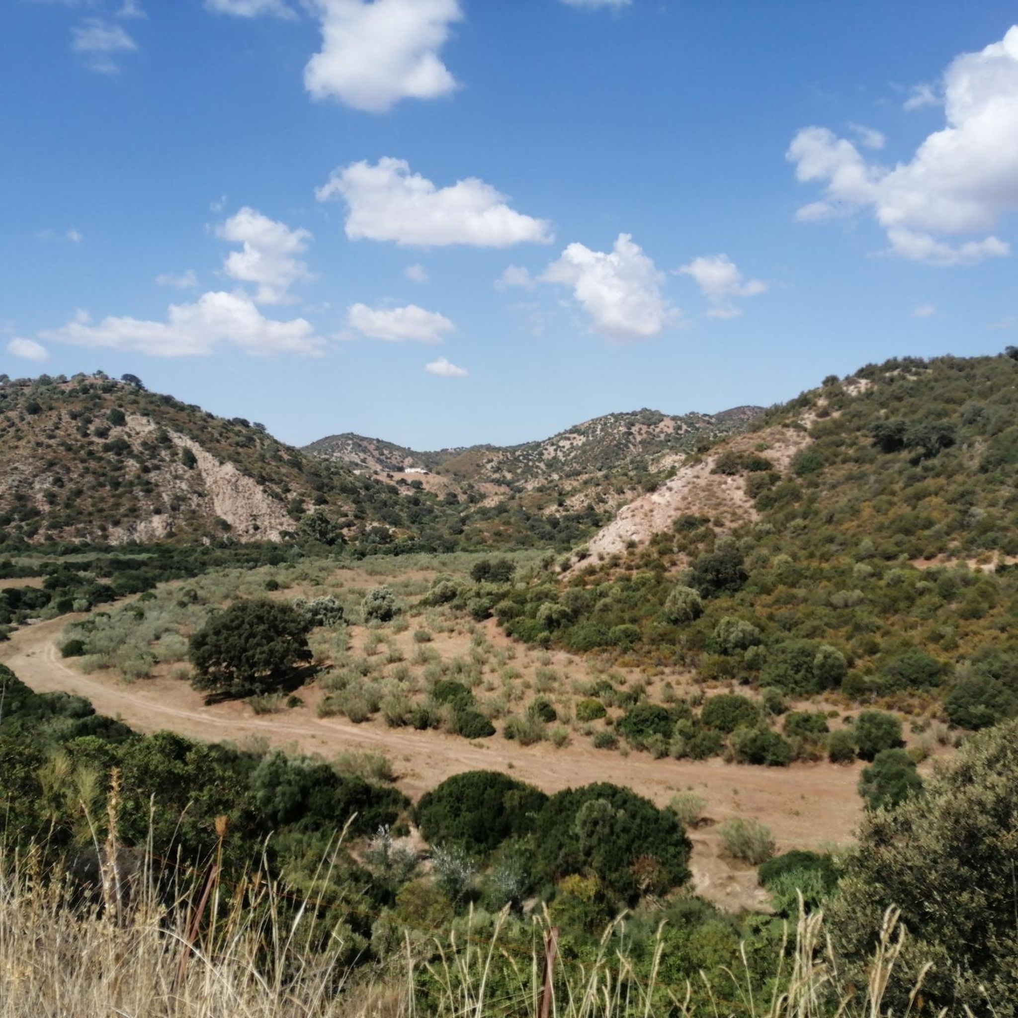
The terrain in La Sierra Sur is diverse, characterized by rugged peaks, deep valleys, and lush forests. Many routes, such as the Viaducto de Gillete – Viaducto de Los Azares loop from Coripe, utilize converted railway lines like the Vía Verde de la Sierra, offering scenic paths through varied landscapes. You'll find everything from river corridors to elevated viewpoints.
Are there any easy touring cycling routes suitable for beginners in La Sierra Sur?
Yes, La Sierra Sur has options for beginners. While many routes are moderate or difficult, there are at least 2 easy touring cycling routes available. These typically follow flatter sections or converted railway lines, providing a gentler introduction to the region's beauty.
What are some notable landmarks or natural attractions I can see along the cycling routes?
Cycling in La Sierra Sur allows you to discover several interesting landmarks and natural features. You might pass by the impressive Zaframagón Viaduct, explore the Peñón de Zaframagón Nature Reserve, or see the ancient El Chaparro de la Vega. The region also features rugged peaks like Pico del Terril and Peñón de Algámitas.
Are there any circular touring cycling routes in La Sierra Sur?
Yes, many touring cycling routes in La Sierra Sur are circular, making them convenient for day trips. For example, the popular Arahal from Morón de la Frontera – circular via the Green Corridor of the Río Guadaíra is a moderate circular route. Another option is the challenging Coripe – 🇪🇦Coripe Vulture Valley loop from Morón de la Frontera.
What is the best time of year to go touring cycling in La Sierra Sur?
The climate in La Sierra Sur, Andalusia, varies, but generally, spring and autumn offer the most pleasant conditions for touring cycling. Temperatures are milder, and the landscapes are vibrant. Summers can be quite hot, especially in the valleys, while winters are cooler but often still suitable for cycling, particularly on sunny days.
Are there family-friendly cycling options in La Sierra Sur?
For families, routes that utilize the converted railway lines, such as sections of the Vía Verde de la Sierra, are often ideal due to their generally flatter and well-maintained surfaces. Look for routes designated as 'easy' or 'moderate' to ensure a comfortable experience for all family members.
Where can I find cafes or places to rest along the routes?
Many routes pass through or near charming white villages, which are excellent spots to find cafes, restaurants, and places to rest. For instance, the Hostal Restaurante Estación de Coripe is located directly on the Vía Verde de la Sierra, offering a convenient stop for cyclists.
What do other cyclists say about touring cycling in La Sierra Sur?
The touring cycling routes in La Sierra Sur are highly rated by the komoot community, with an average score of 4.3 stars from over 35 reviews. Cyclists often praise the diverse terrain, the scenic beauty of the converted railway lines, and the opportunities to explore both river corridors and mountainous landscapes.
Can I find routes with significant elevation changes for a challenge?
Absolutely. La Sierra Sur is known for its rugged peaks and deep valleys, offering plenty of challenging routes with significant elevation changes. For example, the 🇪🇦Coripe Vulture Valley – Coripe loop from Coripe involves over 1200 meters of ascent, providing a demanding ride for experienced touring cyclists.
Is public transport available to access the cycling routes in La Sierra Sur?
Access to some cycling routes in La Sierra Sur can be facilitated by public transport, particularly to larger towns like Morón de la Frontera or Coripe, which serve as common starting points. However, it's advisable to check local bus or train schedules and policies regarding bicycle transport in advance, as services can vary.
Where can I park my car when starting a touring cycling route?
Many towns and villages that serve as starting points for touring cycling routes in La Sierra Sur offer public parking facilities. For routes beginning in areas like Morón de la Frontera or Coripe, you can typically find designated parking areas, often near trailheads or town centers. It's always a good idea to check local parking information for your specific starting point.
Are there any routes that offer particularly scenic viewpoints?
Yes, the mountainous nature of La Sierra Sur provides numerous opportunities for scenic viewpoints. Routes that climb to higher elevations, such as the View of Rocky Mountain Peak – Zaframagón Viaduct loop from Coripe, often reward cyclists with panoramic vistas of the rugged landscape, deep valleys, and lush forests.
Most popular routes around La Sierra Sur
Most popular attractions around La Sierra Sur

Get inspired with the komoot mobile app


Didn’t find what you were looking for?
Check out more Cycling routes throughout La Sierra Sur below and find the perfect route in your destination.
Explore more
Browse the best Cycling routes in other regions.
