The best walks and hikes around Pla D'Urgell
4.6
(129)
1,176
hikers
50
hikes
Hiking around Pla D'Urgell offers routes across a distinctive flat landscape, characterized by extensive agricultural fields and low-lying hills. The region features significant water bodies, including the large inland Estany d'Ivars i Vila-sana and the Canal d'Urgell, which provide unique natural and engineered features for exploration. Trails generally present gentle terrain, making them accessible for various fitness levels.
Best hiking trails around Pla D'Urgell
- The most popular hiking route is Ivars and Vila-sana Pond Loop, an easy 3.5 miles…
Last updated: August 31, 2026
4.4
(35)
189
hikers
5.67km
01:28
30m
30m
Easy hike. Great for any fitness level. Easily-accessible paths. Suitable for all skill levels.
4.0
(1)
26
hikers
8.36km
02:08
30m
30m
Moderate hike. Good fitness required. Easily-accessible paths. Suitable for all skill levels.

Sign up for free
4.0
(2)
27
hikers
8.31km
02:07
20m
20m
Moderate hike. Good fitness required. Easily-accessible paths. Suitable for all skill levels.
4.1
(8)
14
hikers
Moderate hike. Good fitness required. Easily-accessible paths. Suitable for all skill levels.
4.1
(7)
12
hikers
Moderate hike. Good fitness required. Easily-accessible paths. Suitable for all skill levels.
7
hikers
Moderate hike. Good fitness required. Easily-accessible paths. Suitable for all skill levels.
6
hikers
5.70km
01:27
10m
10m
Easy hike. Great for any fitness level. Easily-accessible paths. Suitable for all skill levels.
7
hikers
8.92km
02:22
90m
90m
Moderate hike. Good fitness required. Easily-accessible paths. Suitable for all skill levels.
5
hikers
3.11km
00:47
10m
10m
Easy hike. Great for any fitness level. Easily-accessible paths. Suitable for all skill levels.
4
hikers
5.16km
01:19
10m
10m
Easy hike. Great for any fitness level. Easily-accessible paths. Suitable for all skill levels.
Get access to more routes and recommendations from other explorers.
Sign up for free
Already have an account?
Our route recommendations are based on thousands of hikes, rides, and runs completed by other people on komoot.
Start today with a free account
Your next adventure awaits.
Login or Signup



Tips from the Community

Even in bad weather, you can take photos protected from the elements.
0
0

The murals in these towns are worth seeing and the best way to see these murals is by bicycle.
0
0

Side path that follows the third ditch of the Canal d'Urgell.
0
0
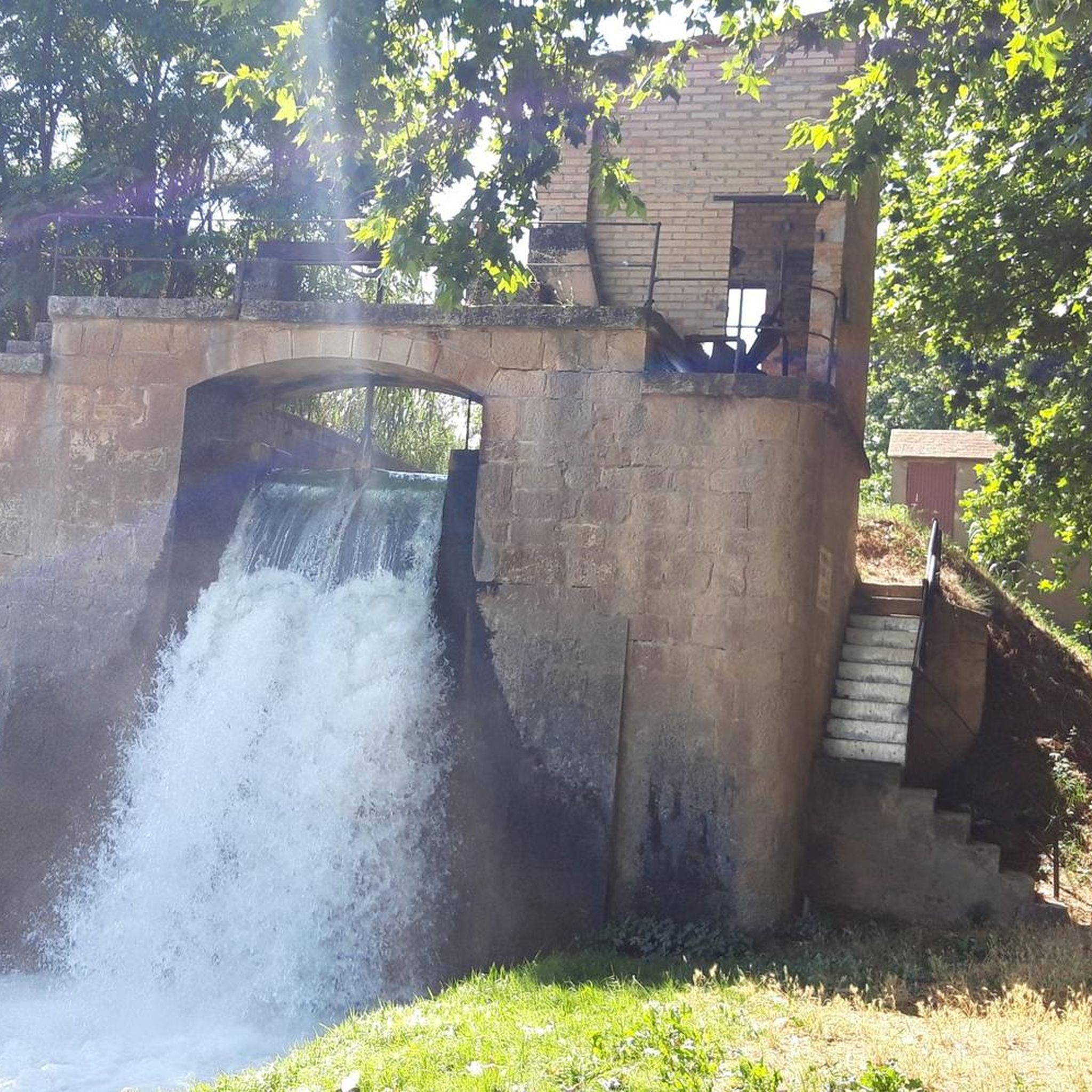
In the third ditch of the Canal d'Urgell there is this jump which serves to generate a difference in height and force the water. The Canal d'Urgell gives life to the region and has transformed the current landscape.
0
0
In the streets of the town of Ivars d'Urgell there are several murals painted representing species of birds and other animals that can be seen in the Estay d'Ivars and surrounding areas. Like the town of Penelles, it is worth a visit.
0
0
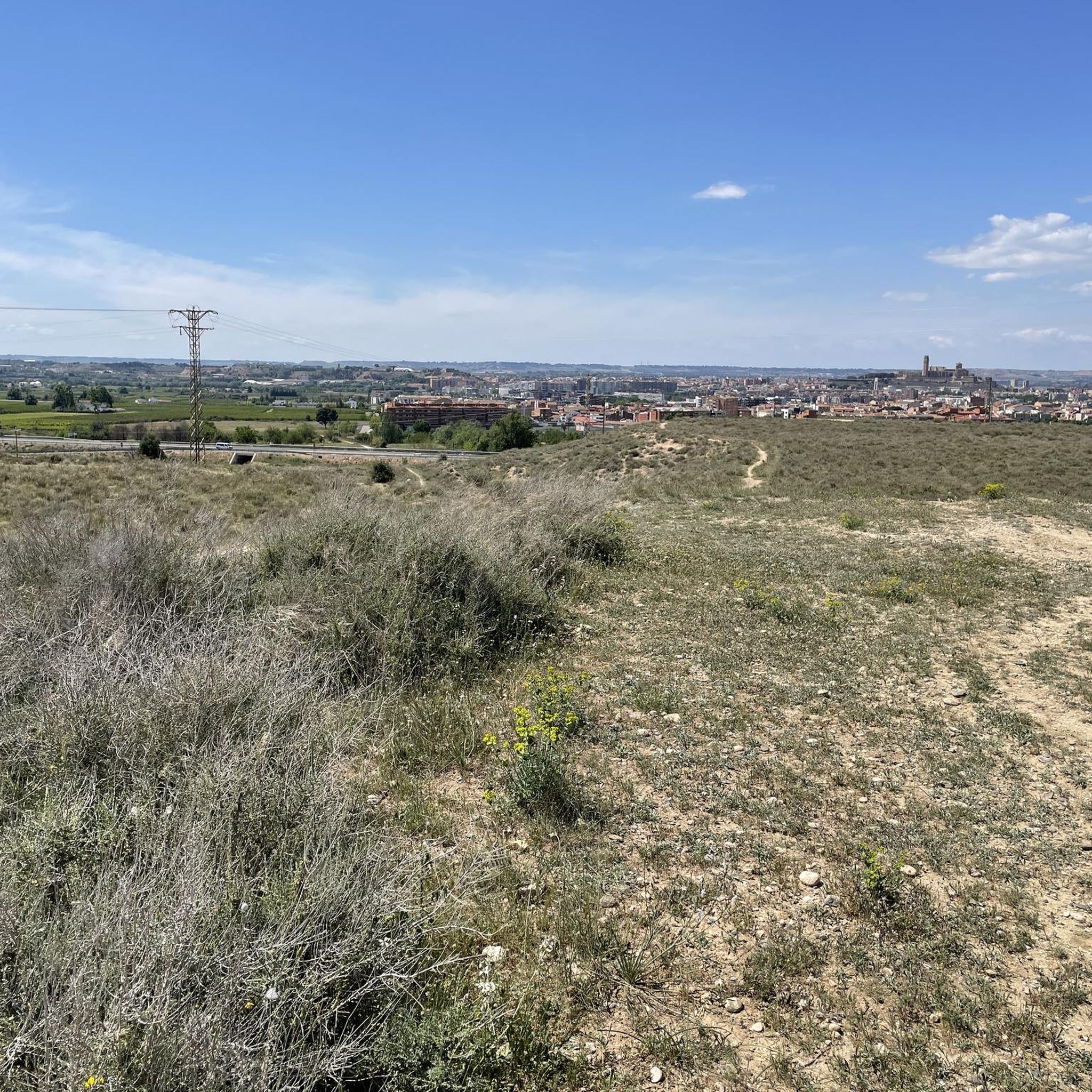
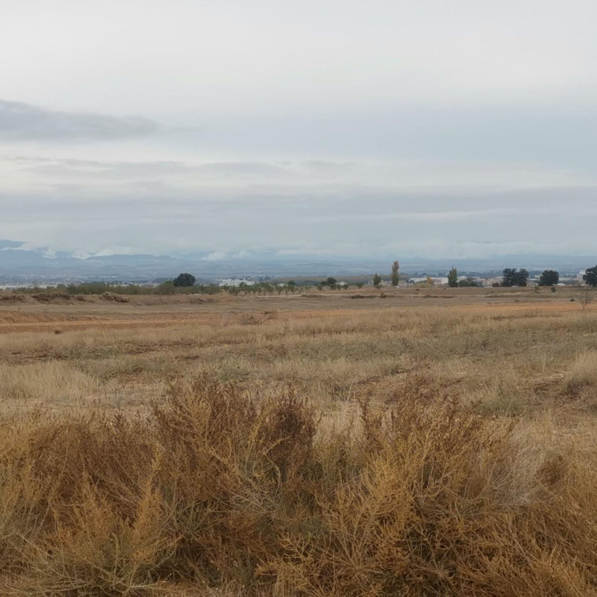
Tossal de la Fita Alta, in the Pla d'Urgell, surrounded by fruit fields and with a very good panoramic view of the entire region.
0
0

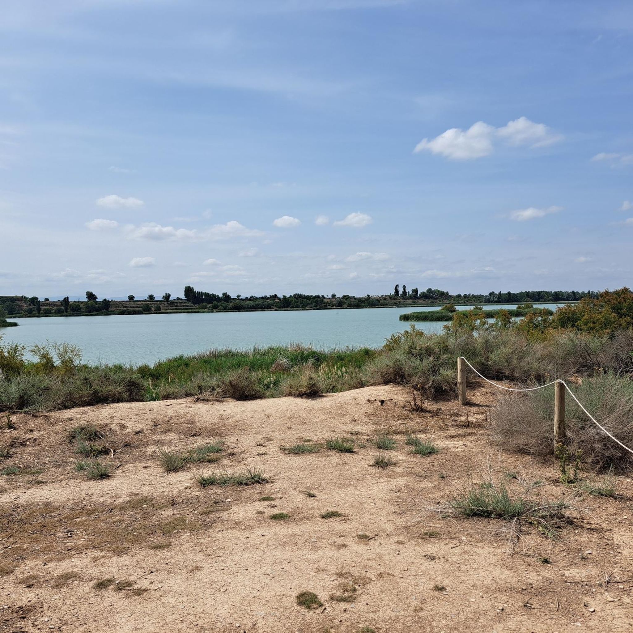
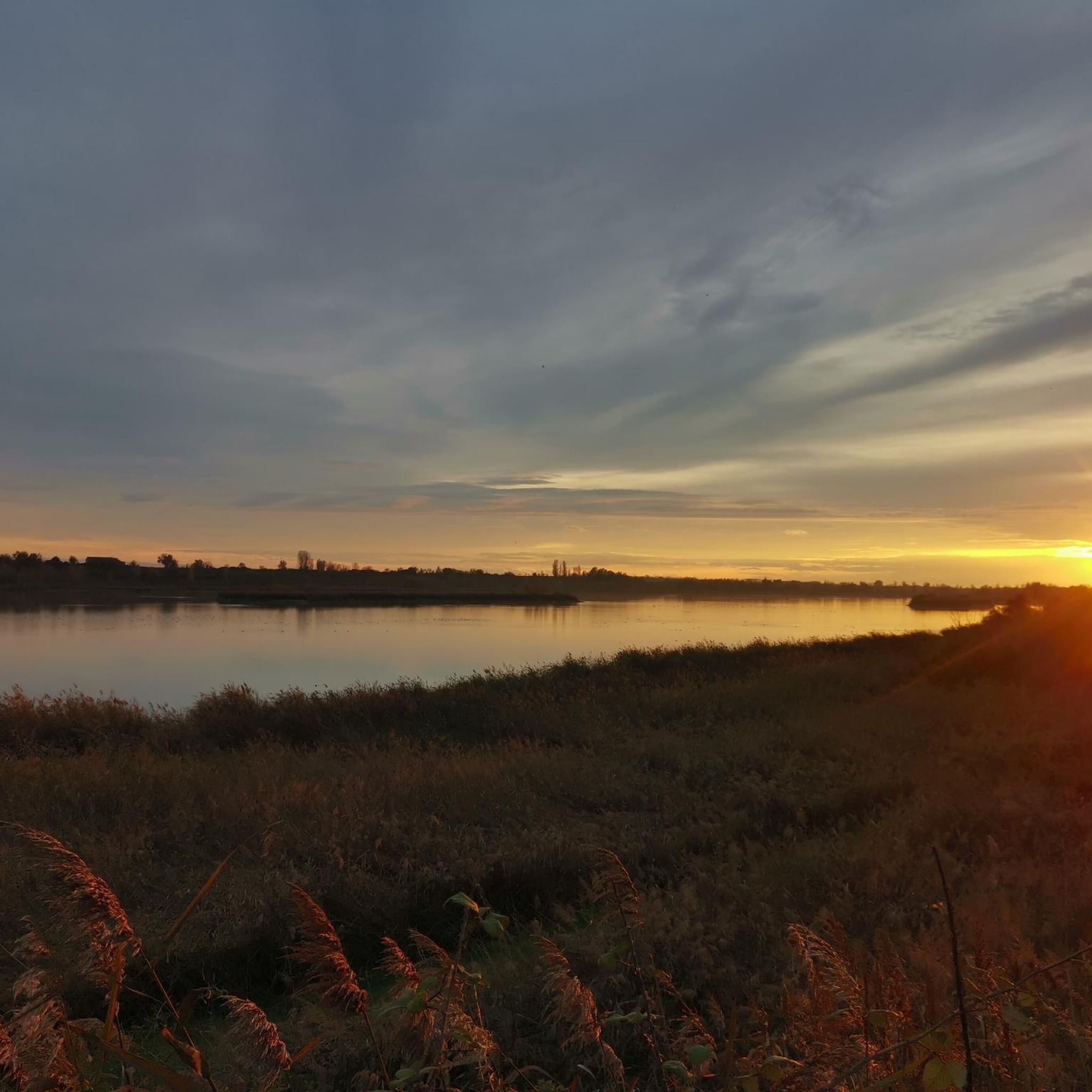
It is the largest inland lake in Catalonia, with a surface area of 126 hectares and an average depth of less than 2 meters. This natural area was restored in 2005 and is known for its rich biodiversity, home to more than 250 species of birds, 31 species of mammals, and several species of reptiles, amphibians, and fish.
4
0
The Salto del Durán is a popular hiking destination in the Pla d'Urgell region. It is known for its scenic beauty and offers an intermediate-level hiking trail that covers approximately 8.30 kilometers and takes about two hours to complete.
4
0
Frequently Asked Questions
How many hiking trails are available in Pla D'Urgell?
Pla D'Urgell offers a diverse selection of over 30 hiking routes. These trails cater to various preferences, with a good mix of easy and moderate options to explore the region's unique landscapes.
What kind of terrain can I expect on hikes in Pla D'Urgell?
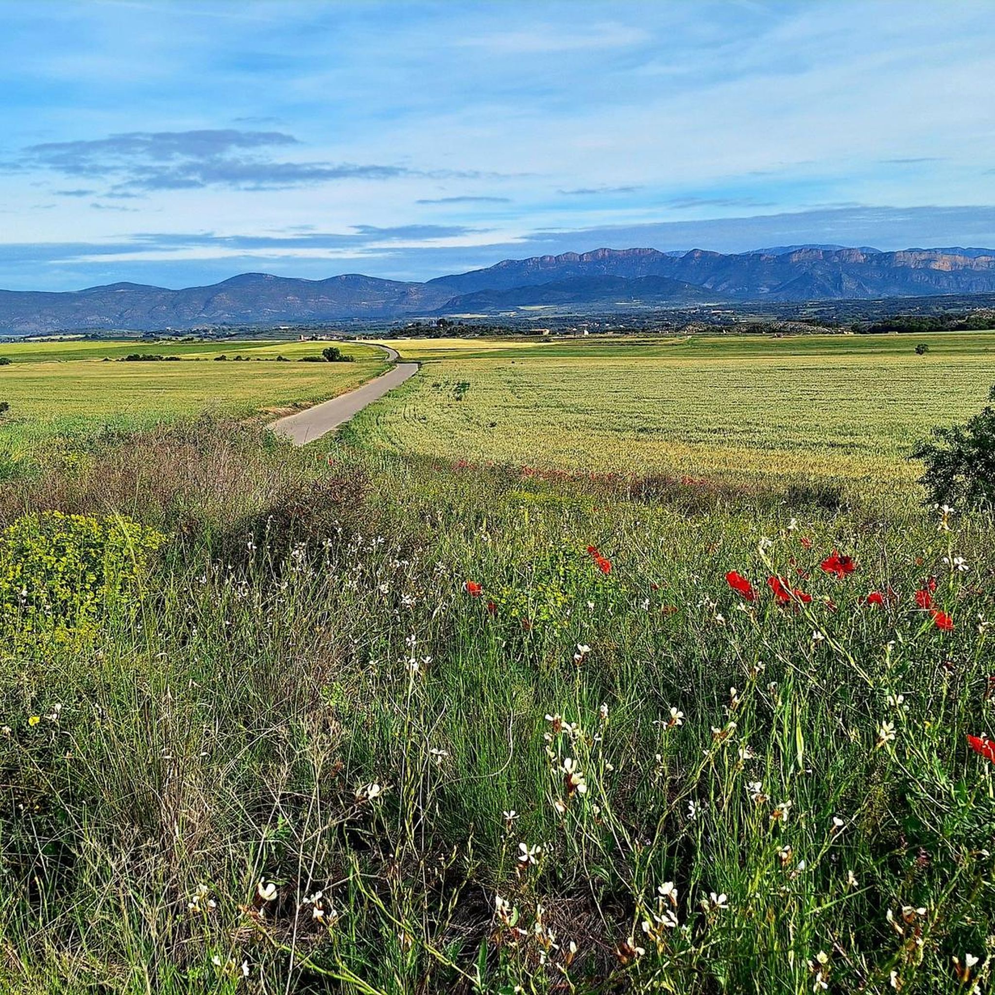
The region is characterized by its distinctive flat landscapes, extensive agricultural fields, and low-lying hills. You'll find gentle terrain, making most trails accessible and enjoyable for relaxed walking and cycling. Significant water features like the Estany d'Ivars i Vila-sana and the Canal d'Urgell are also prominent.
Are there hiking options for all skill levels in Pla D'Urgell?
Yes, Pla D'Urgell provides a range of hiking trails suitable for various skill levels. You'll find 15 easy routes perfect for a leisurely stroll, and 16 moderate routes for those seeking a bit more challenge. There are no difficult trails listed, ensuring a generally accessible experience.
What natural features or landmarks can I see while hiking in Pla D'Urgell?
Hikers can explore several notable natural features. The most prominent is the Estany d'Ivars i Vila-sana, Catalonia's largest inland lake, known for its biodiversity. You can also discover the Salt del Duran Waterfall and the extensive Third Canal of Urgell Path, which showcases the region's agricultural heritage.
Are there any waterfalls to visit in Pla D'Urgell?
Yes, the Salt del Duran Waterfall is a popular scenic spot in Pla D'Urgell. You can reach it via the moderate 5.2 miles (8.4 km) route, Salto del Duran -- Pla d'Urgell, which offers a beautiful natural experience.
Can I hike around the Estany d'Ivars i Vila-sana?
Absolutely. The Estany d'Ivars i Vila-sana is a central feature for hiking. A popular route is the Ivars and Vila-sana Pond loop from Aparcament Estany d'Ivars i Vilasana Oest, a moderate 10.9 km trail that offers continuous lake views and excellent birdwatching opportunities.
Are there any circular hiking routes in Pla D'Urgell?
Yes, many trails in Pla D'Urgell are circular, allowing you to start and end at the same point. A great example is the Fita Alta Summit loop from Miralcamp, which takes you through agricultural fields to a low hill with panoramic views.
Are the hiking trails in Pla D'Urgell suitable for families?
Many trails in Pla D'Urgell are well-suited for families due to the region's generally flat and accessible terrain. Easy walks, such as the Third Canal of Urgell Path loop from Mollerussa, are ideal for all ages, offering a relaxed outdoor experience.
What do other hikers enjoy the most about hiking in Pla D'Urgell?
The area is highly rated by the komoot community, with an average score of 4.4 stars from over 70 reviews. Hikers often praise the tranquil, open landscapes, the unique experience of walking alongside the Canal d'Urgell, and the abundant birdwatching opportunities around the Estany d'Ivars i Vila-sana.
Are there any viewpoints offering panoramic views of Pla D'Urgell?
Yes, for panoramic views, consider hiking to the Tossal de la Fita Alta. The Fita Alta Summit loop from Miralcamp is a moderate route that leads to this low hill, providing expansive vistas of the entire Pla D'Urgell region and its surrounding fruit fields.
Can I hike along the Canal d'Urgell?
The Canal d'Urgell is a significant feature of the region, offering numerous opportunities for hiking. The Third Canal of Urgell Path – Second Bridge loop from Mollerussa is an easy route that allows you to experience this historic waterway and its role in the landscape.
Are there any easy, short hikes in Pla D'Urgell?
For an easy and relatively short hike, consider the Hiking loop from Mollerussa. This 5.2 km route is perfect for a quick outing, offering a pleasant walk through the local scenery.
Most popular routes around Pla D'Urgell
Most popular attractions around Pla D'Urgell

Get inspired with the komoot mobile app


Didn’t find what you were looking for?
Check out more Hikes throughout Pla D'Urgell below and find the perfect route in your destination.
Explore more
Browse the best Hikes in other regions.
