The best walks and hikes around Gavet de la Conca
4.2
(89)
536
hikers
64
hikes
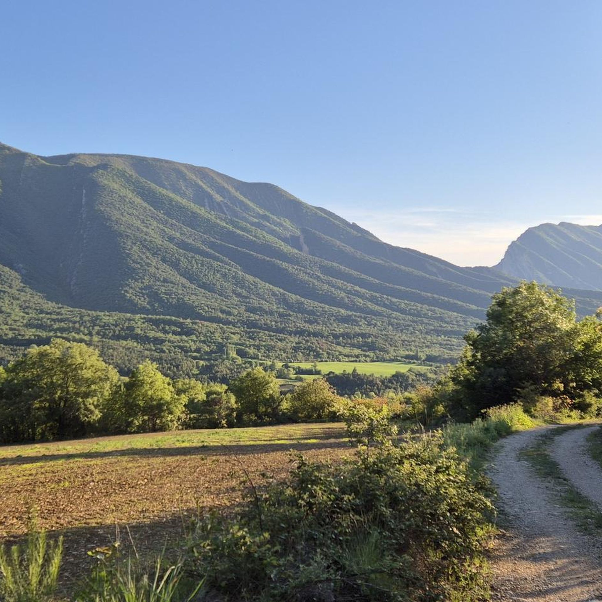
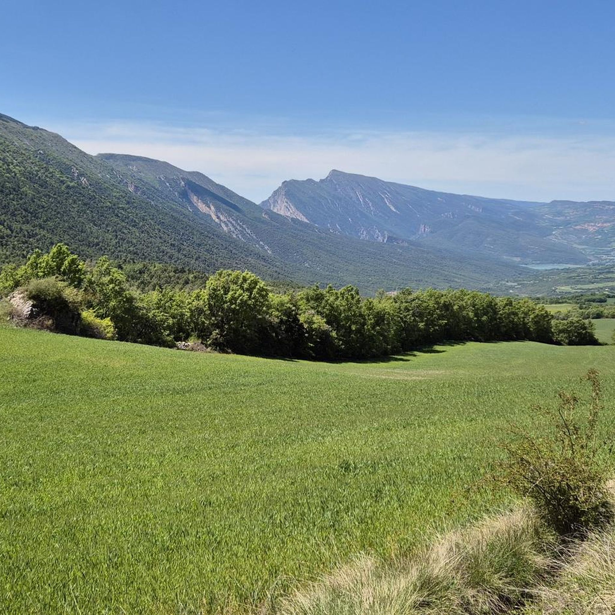
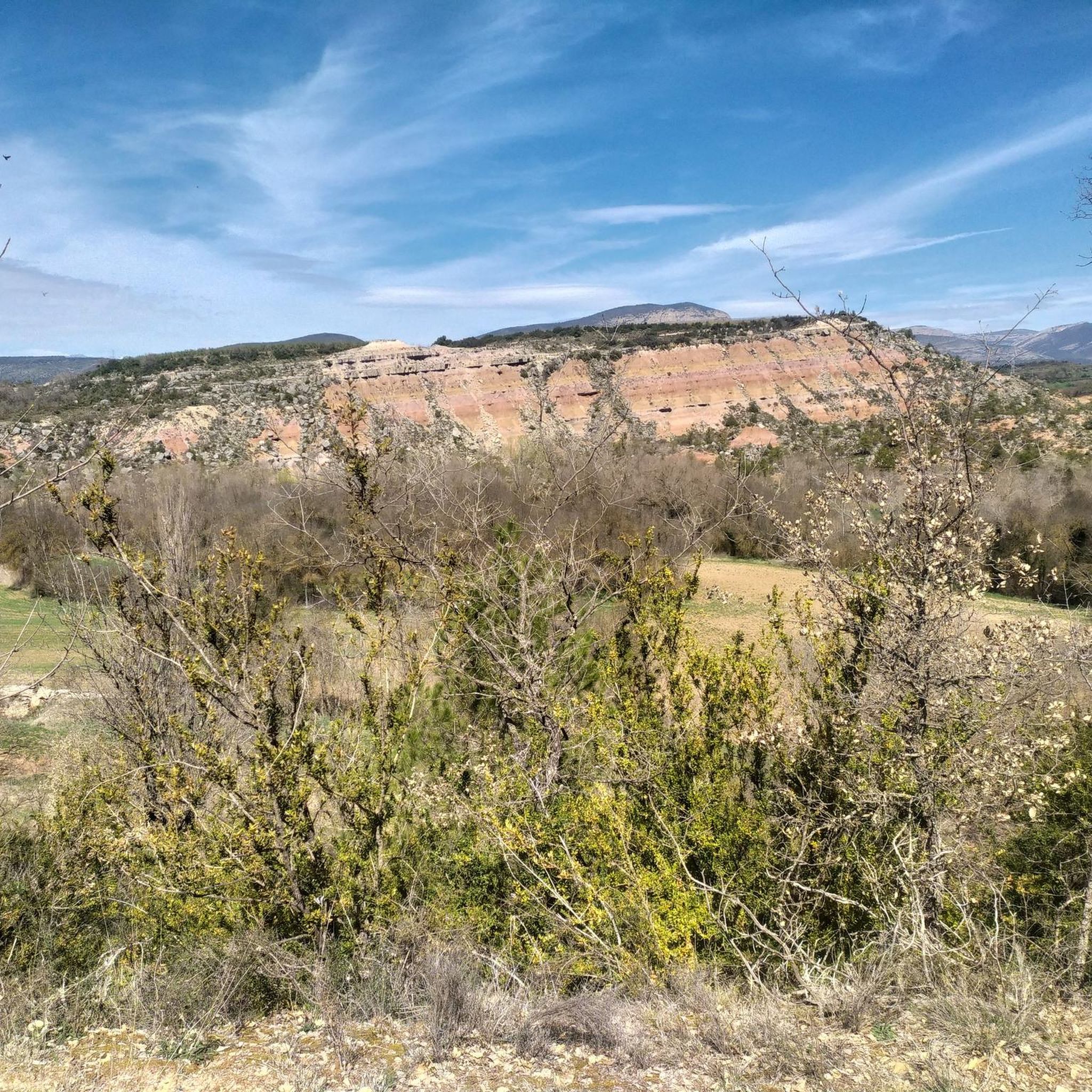
Hiking around Gavet de la Conca offers diverse terrain within a wide fluvial basin, characterized by low valleys and ravines. The region is embraced by two significant mountain ranges: Montsec de Rubies and Serra de Carreu-Sant Corneli, both protected natural areas. These features provide varied landscapes for exploration, from river valleys to mountain slopes. The area is known for its contrasting natural features and historical elements.
Best hiking trails in Gavet de la Conca
- The most popular hiking route is Collado de Comiols y Roc de Benavent — circular por Roca Roja, a 8.6 miles (13.8 km) trail that takes 4 hours 6 minutes to complete. This moderate circular path offers views of the surrounding landscape.
- Another top favourite among local hikers is GR 1 Historic Trail: Montsec de Rúbies Loop, a difficult 11.5 miles (18.5 km) path. This route traverses the Montsec de Rúbies mountain range, known for its protected natural environment.
- Local hikers also love the Montllor Castle – Tossal de Mirapallars loop from l'Hostal Roig, a 9.2 miles (14.8 km) trail leading through varied terrain including a historic castle, often completed in about 4 hours 32 minutes.
- Hiking around Gavet de la Conca is defined by its fluvial basin, the Montsec de Rubies mountain range, and the Barcedana valley. The network offers options for easy, moderate, and difficult routes, catering to different ability levels.
- The routes in Gavet de la Conca are highly rated by the komoot community with an average score of 4.3 stars from over 70 reviews. More than 500 hikers have used komoot to explore Gavet de la Conca's varied terrain.
Last updated: July 7, 2026
5.0
(4)
14
hikers
13.8km
04:06
370m
370m
Moderate hike. Good fitness required. Mostly accessible paths. Sure-footedness required.
3
hikers
18.5km
06:04
730m
730m
Hard hike. Very good fitness required. Mostly accessible paths. Sure-footedness required.

Sign up for free
13.3km
03:53
370m
370m
Moderate hike. Good fitness required. Easily-accessible paths. Suitable for all skill levels.
3.0
(1)
11
hikers
18.5km
05:33
610m
610m
Hard hike. Very good fitness required. Easily-accessible paths. Suitable for all skill levels.
9
hikers
14.9km
05:06
600m
610m
Hard hike. Very good fitness required. Mostly accessible paths. Sure-footedness required.
5.0
(2)
11
hikers
8.08km
04:02
670m
670m
Moderate hike. Good fitness required. Mostly accessible paths. Sure-footedness required.
4.0
(2)
9
hikers
14.8km
04:32
560m
560m
Moderate hike. Good fitness required. Easily-accessible paths. Suitable for all skill levels.
5.0
(1)
9
hikers
11.6km
05:58
970m
970m
Hard hike. Very good fitness required. Mostly accessible paths. Sure-footedness required.
4.0
(2)
4
hikers
6.00km
01:48
200m
200m
Easy hike. Great for any fitness level. Easily-accessible paths. Suitable for all skill levels.
6
hikers
Moderate hike. Good fitness required. Easily-accessible paths. Suitable for all skill levels.
Get access to more routes and recommendations from other explorers.
Sign up for free
Already have an account?
Our route recommendations are based on thousands of hikes, rides, and runs completed by other people on komoot.
Start today with a free account
Your next adventure awaits.
Login or Signup
Popular around Gavet de la Conca

Other adventures around Gavet de la Conca

Tips from the Community

Next to the Coll d'Ares, it is the most iconic port in the Montsec mountain range and the Lleida Pre-Pyrenees. The views from above, either towards the Pyrenees and the Isona and Tremp valley, as well as the Plana de Lleida, are magnificent. It is a port with 4 aspects, each one different: - The southern slope, which begins in Artesa de Segre, is almost 24 km long and runs along a road with a lot of traffic, very wide and with long straights. After passing the town of Folquer, you face the hardest section of the climb, now with continuous curves and horseshoes, although with a road that is still very wide. The best are the views of the Lleida plain. It is not a side that I like since it is very stinky. - The southeast slope, the one that begins in Pons, is longer than the previous one, with 29 km. It has 2 rest sections, with some descent, and the road is narrow and twisty. There are good views along the climb. This slope joins the southern slope that comes from Artesa de Segre at the height of Folquer, where the hardest 7 km remain until reaching the top of the pass. - The main northern slope begins in Tremp and is 28.2 km. It is similar to the Artesa de Segre slope, with a similar gradient and a wide, busy road with a progressive slope, although it is true that there are no kilometers that reach 7%. I don't like. - The northwest slope, which also begins in Tremp, takes the old road that goes up through the town of Sant Salvador de Toló. It is a climb without traffic, on an irregular asphalt road, one of the old ones, which is grippy and difficult to roll, but in good condition. If you plan to go up to Comiols on the northern slope, you have to do it here and forget about the slope that runs along the main road.
0
0

The name of Sant Salvador is due to the dedication of the parish of the town. Toló comes from the name of the castle around which the old town was formed.
0
0
The center of Gramanet is located about two kilometers west of Benavent and about two kilometers south of Covet, in an area of depression and agricultural fields that in the rainy and spring seasons, it is very beautiful to walk around!
0
0
Small town located below the Coll de Comiols and at the foot of the Roc de Benavent, a stone structure that can be reached on foot from the town itself.
0
0
There is a viewpoint that is located at the edge of the cliff and that provides a space of tranquility enjoying one of the best views in the area.
0
0
La Roca Roja is a mountain of 1,239 meters that is located just above the town of Benavent de la Conca and that gives impressive views of the Conca de Tremp
1
0
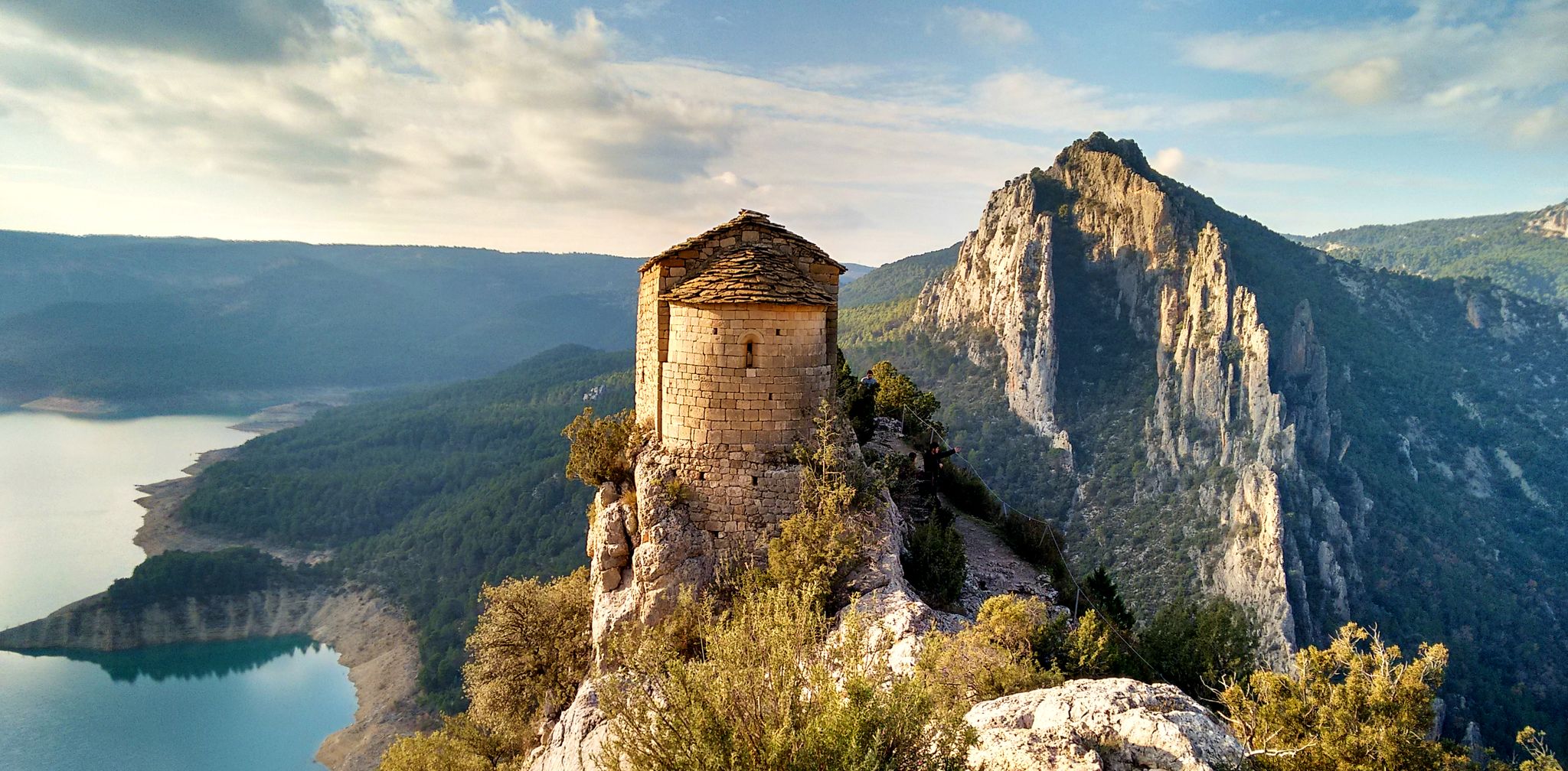
On the mountainside of Montsec de Rúbies and on the north side there is this old hermitage that is in the old middle of the mountain and that gives impressive views of the two basins where Tremp is in the middle.
0
0
La Portella Blanca is a hill located at 1,442.7 meters above sea level on the border between the municipalities of Camarasa, in La Noguera, and Llimiana, in Pallars Jussà.
0
0
Frequently Asked Questions
How many hiking trails are available in Gavet de la Conca?
Gavet de la Conca offers a wide selection of routes, with over 60 hiking trails available. These range in difficulty from easy strolls to challenging mountain treks, catering to various experience levels.
What do other hikers enjoy most about the trails in Gavet de la Conca?
The trails in Gavet de la Conca are highly regarded by the komoot community, holding an average rating of 4.3 stars from over 70 reviews. Hikers often praise the diverse landscapes, from river valleys to mountain slopes, and the opportunity to explore both natural beauty and historical sites.
Are there hiking trails suitable for beginners or families with children?
Yes, Gavet de la Conca has 14 easy hiking routes perfect for beginners or families. An example is the Sant Salvador de Toló loop from Riu de Conques, which is 6 km long and offers a gentle introduction to the area's scenery.
What kind of terrain can I expect on hikes in Gavet de la Conca?
The region features diverse terrain, from low valleys and ravines within a wide fluvial basin to the more rugged slopes of the Montsec de Rubies and Serra de Carreu-Sant Corneli mountain ranges. You'll encounter varied landscapes, including river valleys, forested paths, and rocky mountain trails.
Are there challenging hikes for experienced trekkers in Gavet de la Conca?
Yes, for experienced hikers, there are 17 difficult routes. A notable challenging option is the GR 1 Historic Trail: Montsec de Rúbies Loop, an 18.5 km path traversing the protected Montsec de Rúbies mountain range.
What natural landmarks can I explore while hiking in the area?
Gavet de la Conca is rich in natural landmarks. You can explore the Montsec de Rubies and Serra de Carreu-Sant Corneli mountain ranges, both protected natural areas. The Barcedana valley offers scenic paths, and nearby you can find the impressive Vilanova de Meià Canyon and the Tossal de Mirapallars summit.
Are there any historical sites or charming villages to visit along the trails?
Absolutely. The region is dotted with historical elements. You can visit charming villages like Sant Salvador de Toló, which retains a rural and ancient atmosphere. Historical attractions such as Sant Gervàs Castle and the Bonrepòs complex offer interesting points of interest for hikers.
Are there any circular hiking routes in Gavet de la Conca?
Yes, many of the trails in Gavet de la Conca are circular. For example, the Collado de Comiols y Roc de Benavent — circular por Roca Roja is a popular moderate loop, and the Sant Salvador de Toló and Gramenet Loop also offers a scenic circular experience.
Is Gavet de la Conca a good destination for observing wildlife or unique flora?
Yes, the protected natural spaces of Montsec de Rubies and Serra de Carreu-Sant Corneli are excellent for observing local flora, fauna, and diverse birdlife. The Montsec area, in particular, is recognized for its unique biodiversity, making it attractive for ornithology.
What is the best time of year to go hiking in Gavet de la Conca?
Gavet de la Conca offers hiking opportunities throughout much of the year. Spring and autumn generally provide the most pleasant temperatures for hiking. Summer can be warm, especially in the valleys, while winter offers a different, often quieter, experience, though some higher routes might be affected by snow or colder conditions.
Are there options for public transport to access hiking trails in Gavet de la Conca?
While specific public transport routes directly to trailheads might be limited, the main villages within Gavet de la Conca may have bus connections. It is advisable to check local transport schedules in advance or consider driving to access the starting points of many trails.
Where can I find parking for hiking trails in Gavet de la Conca?
Parking is generally available near the starting points of many popular trails and in the villages within Gavet de la Conca. For specific routes, it's recommended to check the komoot tour details, as users often share information about parking availability in the tour descriptions or comments.
Most popular routes around Gavet de la Conca
Most popular attractions around Gavet de la Conca

Get inspired with the komoot mobile app


Explore more
Browse the best Hikes in other regions.
