The best running trails around Aguilar
4.6
(13)
349
runners
41
runs
Jogging routes Aguilar offer diverse terrain in northern Spain, characterized by natural protected areas like Covalagua Natural Space and Espacio Natural de las Tuerces. The landscape features moorland vistas, riverbanks, and rolling hills, with routes often passing by historical Romanesque architecture. The region provides a mix of moderate and challenging trails for runners.
Best jogging routes around Aguilar
- The most popular jogging route is Valcabado Viewpoint and Wolves' Well Trail, a 9.5 miles (15.3 km) trail that takes 1…
Last updated: June 23, 2026
5
runners
Moderate run. Good fitness required. Mostly paved surfaces. Suitable for all skill levels.
3
runners
15.3km
01:52
360m
360m
Hard run. Very good fitness required. Mostly accessible paths. Some sure footedness required.

Sign up for free
3
runners
Hard run. Very good fitness required. Mostly accessible paths. Some sure footedness required.
3
runners
Moderate run. Good fitness required. Mostly accessible paths. Some sure footedness required.
19
runners
Moderate run. Good fitness required. Mostly paved surfaces. Suitable for all skill levels.
5.0
(1)
10
runners
5.87km
00:47
160m
160m
Moderate run. Good fitness required. Mostly paved surfaces. Suitable for all skill levels.
7
runners
6.44km
00:43
60m
60m
Moderate run. Good fitness required. Mostly paved surfaces. Suitable for all skill levels.
4.0
(1)
11
runners
Easy run. Great for any fitness level. Mostly paved surfaces. Suitable for all skill levels.
4.0
(1)
13
runners
Moderate run. Good fitness required. Mostly paved surfaces. Suitable for all skill levels.
4.2
(6)
7
runners
Moderate run. Good fitness required. Mostly paved surfaces. Suitable for all skill levels.
Get access to more routes and recommendations from other explorers.
Sign up for free
Already have an account?
Our route recommendations are based on thousands of hikes, rides, and runs completed by other people on komoot.
Start today with a free account
Your next adventure awaits.
Login or Signup
Popular around Aguilar
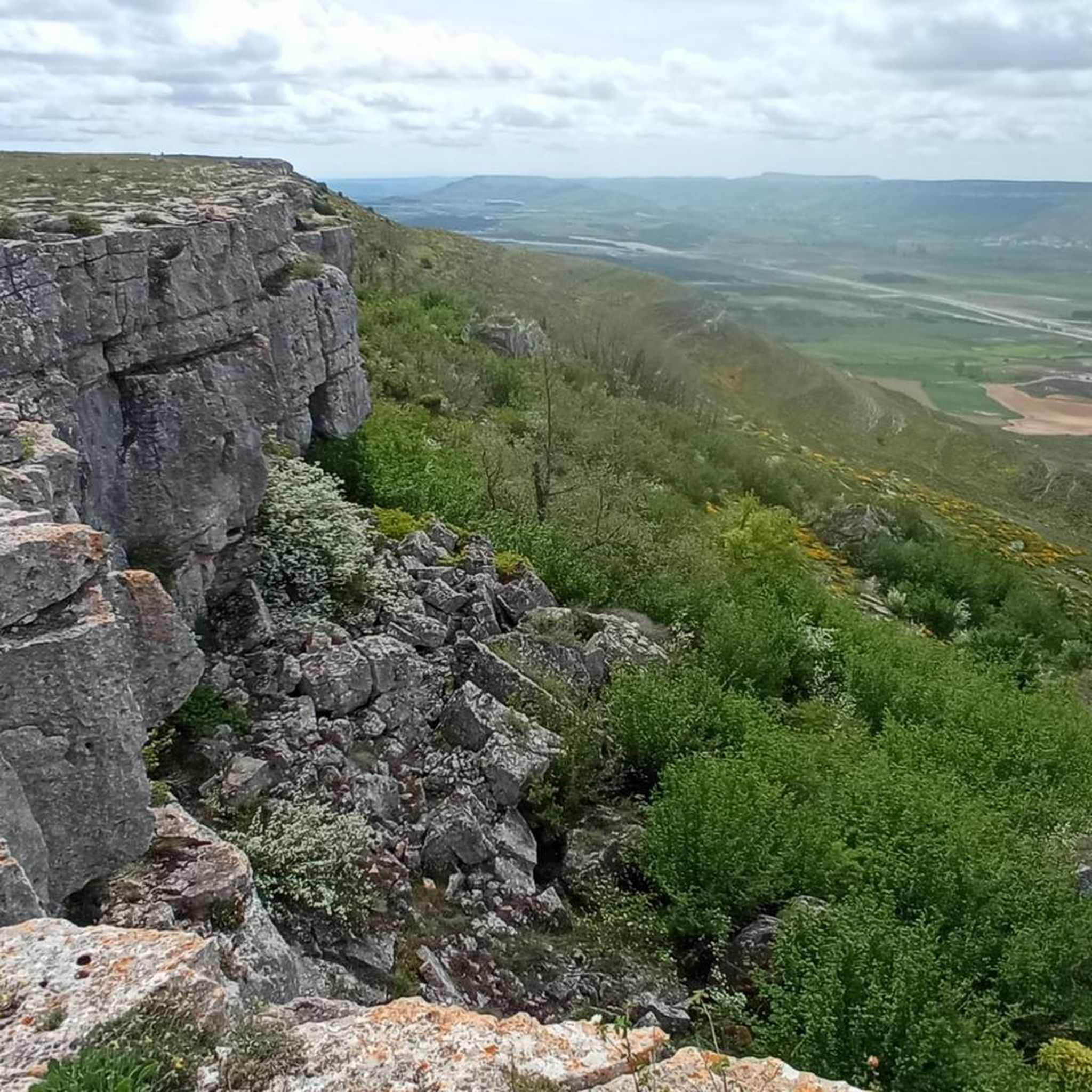
Running Trails around Pomar De Valdivia
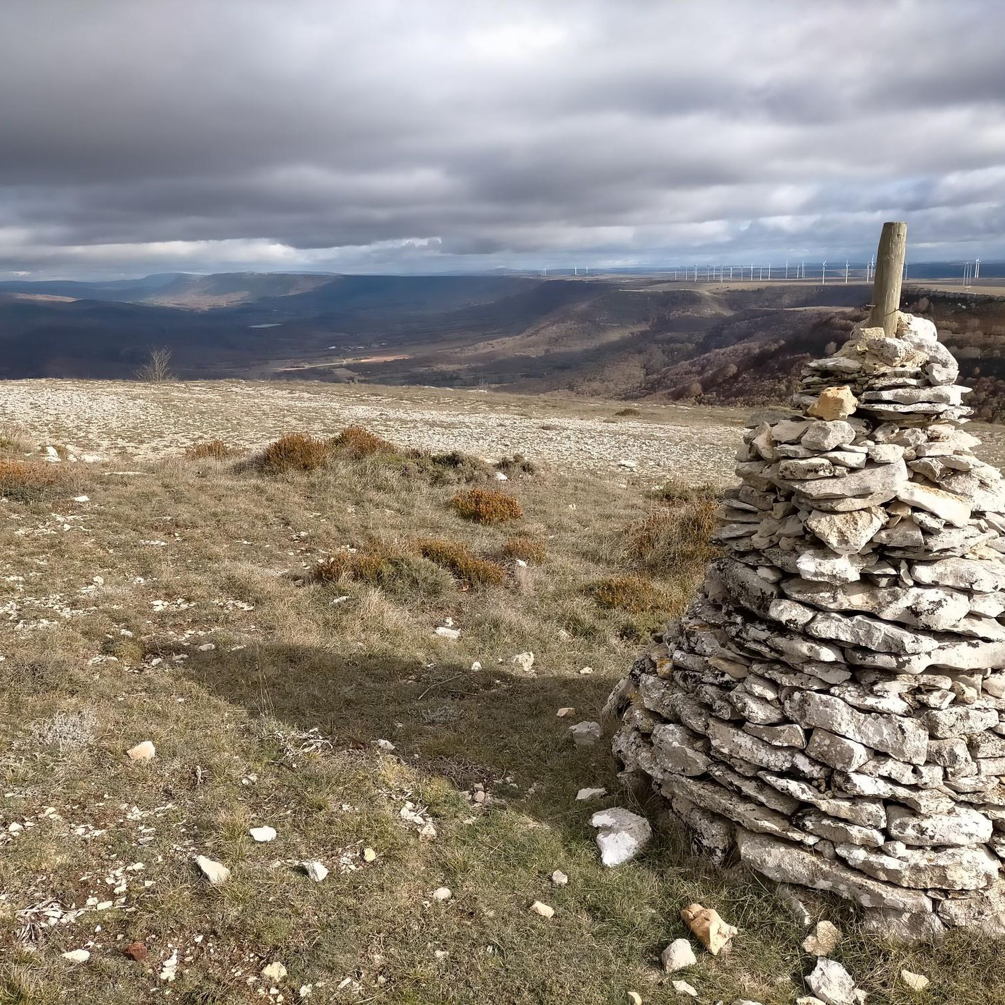
Running Trails in Paisaje Protegido De Covalagua
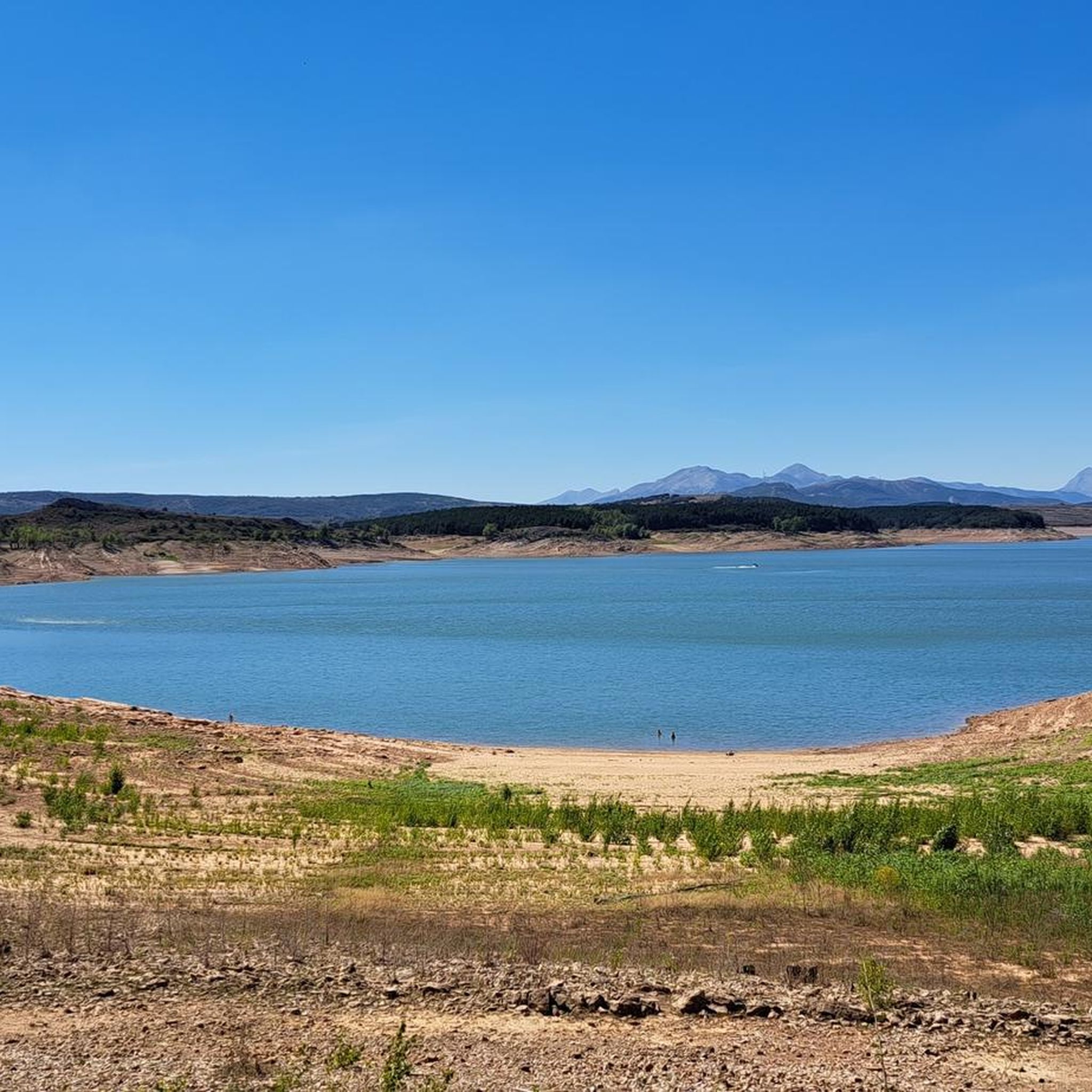
Running Trails around Barruelo De Santullán
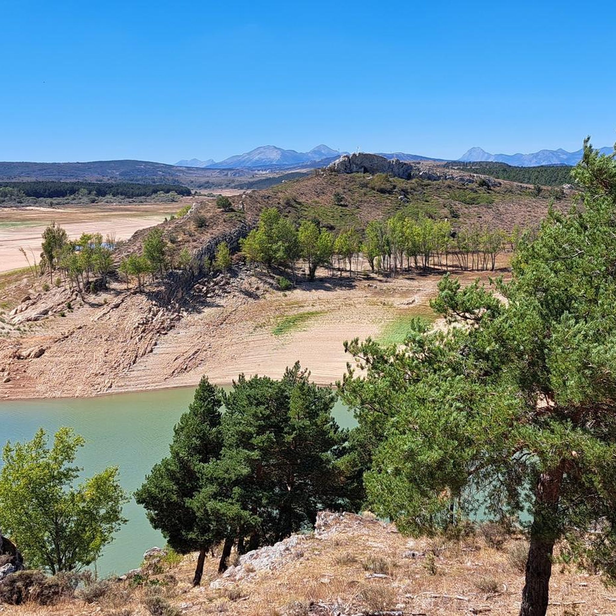
Running Trails around Salinas De Pisuerga
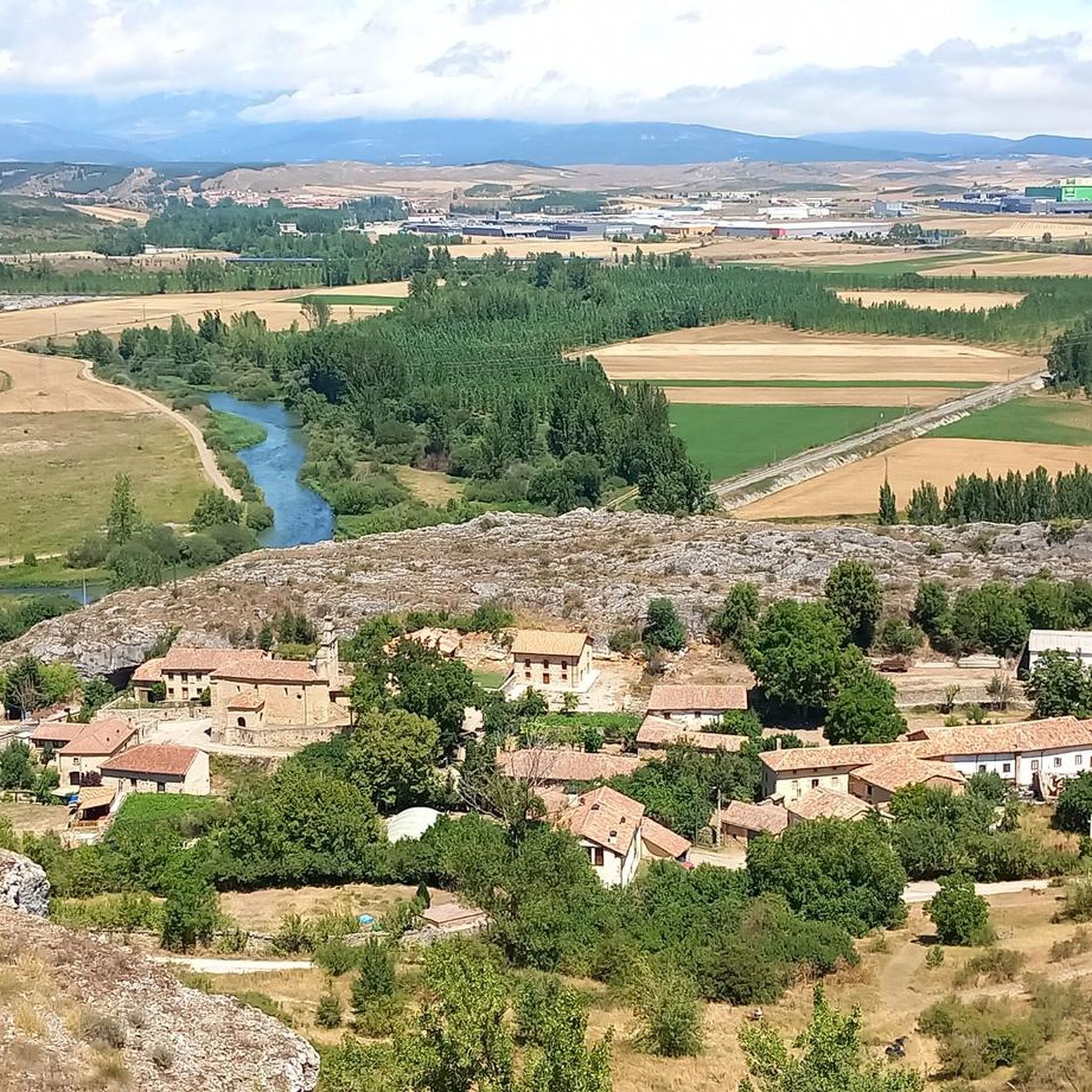
Running Trails in Espacio Natural De Las Tuerces
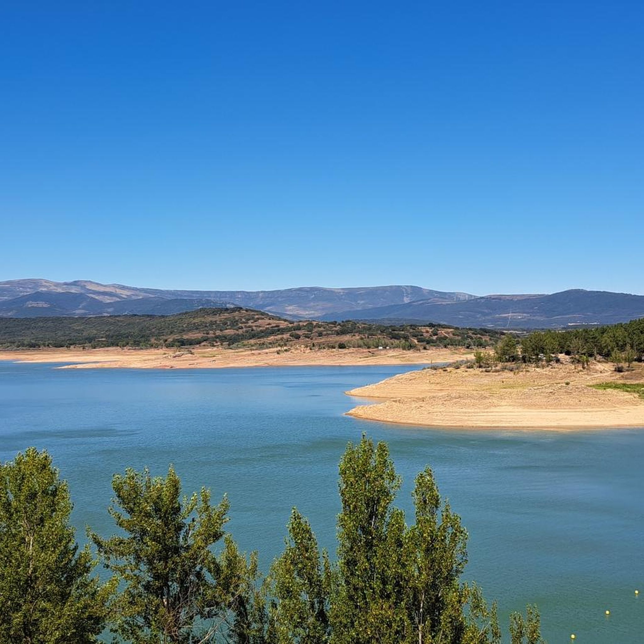
Running Trails around Embalse de Aguilar
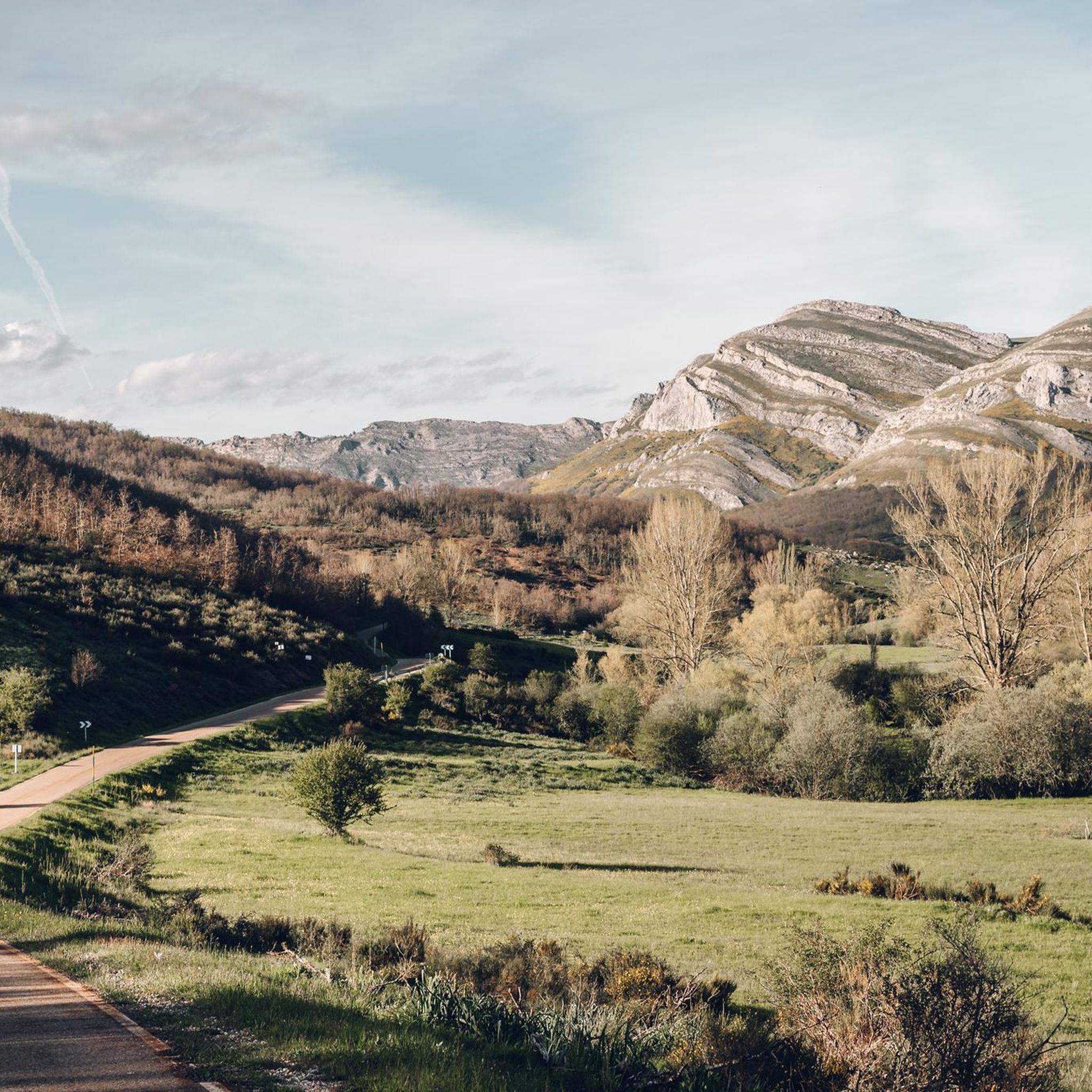
Running Trails around Brañosera
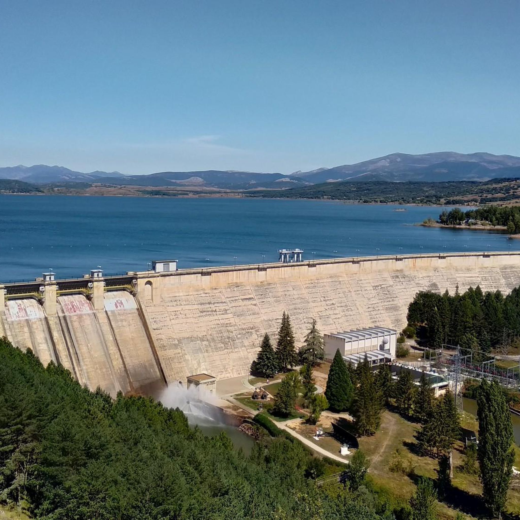
Running Trails around Aguilar De Campoo
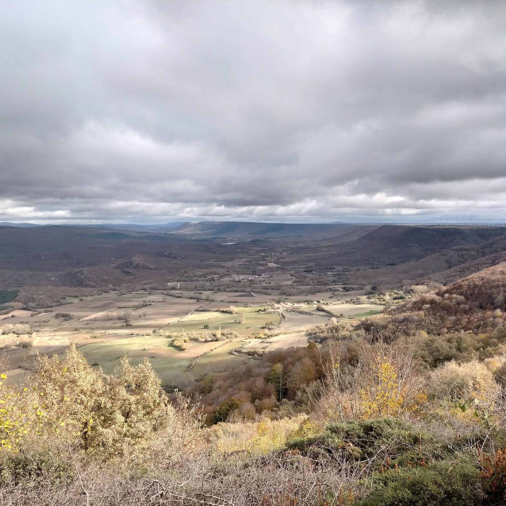
Running Trails around Berzosilla
9 mountain biking routes in undiscovered Spain
Other adventures around Aguilar

Tips from the Community

The Valcabado Viewpoint is located in the Covalagua Natural Area, in Revilla de Pomar (Pomar de Valdivia), within the Las Loras Unesco World Geopark. This viewpoint is a natural balcony located at an altitude of 1,224 metres, offering spectacular views of the Valderredible Valley. It is an ideal place to enjoy nature, go hiking and observe stars due to the low light pollution. In addition, near the viewpoint is the Cueva de los Franceses, about 1,500 metres away.
5
0
The Pozo de los Lobos in Pomar de Valdivia is a small stone construction that was once used to capture wolves. It is located near the Mirador de Valcabado, approximately 1.5 km away. This type of trap was covered with branches and leaves, and the wolves fell into the well when they were guided towards it. In addition, the area offers incredible hiking trails and spectacular views of the Valderredible Valley from the Mirador de Valcabado. It is a perfect place to enjoy nature and local history.
4
0

In the Plaza de España, the nerve centre of the town.
1
0
The amount of water this river carries is always surprising.
1
0

Puente Mayor over the Pisuerga River is of medieval origin. We can see the small islands in the river and the castle hill.
2
0

The stone labyrinth of Las Tuerces has several paths and the Natural monument can be explored according to one's taste, letting oneself be guided by intuition and the indications of the itineraries. The track is a general proposal with a loop that approaches the viewpoints of the Pisuerga River to learn about the natural, geological and environmental values of the natural area. The Las Tuerces labyrinth occupies a plain of limestone rocks sculpted by water erosion on a syncline hanging in the canyon of the Pisuerga River, a territory of geological interest because it marks the meeting between the Cantabrian mountains and the lands of the moor. In the shadowy stone alleys, relict beech trees, hazelnut trees, gall oaks, rocky vegetation and thorny plants from humid environments typical of other latitudes appear, coexisting amazingly with holm oaks, junipers and shrubs from a Mediterranean environment, a forest wonder. An admirable whim of nature that is a lesson in geology and the history of the Earth in the last hundred million years in the open air.
2
0

Ruins of the Castillo de Aguilar located on top of a strategic hill, watching over the beautiful biscuit town. The keep dates from the 9th and 10th centuries, while most of the walls are from the 14th and 15th centuries. Next to the Romanesque church of Santa Cecilia, on the same hill, it creates an impressive photographic image.
2
0

From this point you can see the Aguilar de Campoo Reservoir. It is an impressive piece of engineering but it was quite controversial due to its negative consequences for the ecosystem of the area.
0
0
Frequently Asked Questions
How many running routes are available around Aguilar?
There are over 35 running routes in the Aguilar area, catering to various fitness levels. You'll find a mix of moderate and challenging trails, with options for both short and longer runs.
Are there any easy jogging routes for beginners in Aguilar?
Yes, while many routes are moderate to difficult, there are options suitable for beginners. For instance, the Peña Mesa — circular trailrunning through the Espacio Natural de las Tuerces is a moderate 3.1-mile (5.0 km) path that offers a beautiful introduction to the region's natural beauty.
What kind of scenery can I expect on the running trails in Aguilar?
The running trails in Aguilar offer diverse scenery, including moorland vistas, riverbanks, and rolling hills. You'll often pass through protected natural areas like the Covalagua Natural Space and the Espacio Natural de las Tuerces, and encounter historical Romanesque architecture. Notable viewpoints include Valcabado Viewpoint.
Are there any circular running routes in the Aguilar area?
Yes, many routes are circular, making them convenient for runners. A popular choice is the Peña Mesa — circular trailrunning through the Espacio Natural de las Tuerces, which is a moderate 3.1-mile loop. Another option is the Casa de la Granja loop from Aguilar de Campoo, a 4.0-mile trail.
Can I find running routes that pass by waterfalls in Aguilar?
Absolutely. The region features natural attractions like the Covalagua Waterfall. You can explore routes such as Cascada de Covalagua y pozo de los Lobos — circular trailrunning, which takes you through the protected natural area of Covalagua.
What are some historical landmarks or points of interest along the running trails?
Aguilar de Campoo is rich in Romanesque architecture. While running, you might encounter sites such as the Santa María la Real Monastery or the Collegiate Church of San Miguel. The Hermitage of Santa Cecilia is another notable historical highlight.
What do other runners say about the trails in Aguilar?
The running routes in Aguilar are highly rated by the komoot community, with an average score of 4.7 stars from over 12 reviews. Runners often praise the varied terrain, scenic views, and the opportunity to explore protected natural areas.
Are there any challenging trail running options in Aguilar?
Yes, for those seeking a challenge, Aguilar offers several difficult routes. The Valcabado Viewpoint and Wolves' Well Trail is a demanding 9.5-mile (15.3 km) route with significant elevation gain, offering rewarding moorland views.
How long are the running routes typically in Aguilar?
The running routes vary in length. You can find shorter paths like the Peña Mesa — circular trailrunning at 3.1 miles (5.0 km), up to longer, more challenging trails such as the Cascada de Covalagua y pozo de los Lobos at over 10 miles (16 km).
Are there running routes that follow riverbanks in Aguilar?
Yes, the landscape around Aguilar includes riverbanks, providing pleasant running environments. The Quintanaluengos from Salinas de Pisuerga route, for example, runs along the banks of the Pisuerga River.
What is the best time of year for running in Aguilar?
Aguilar de Campoo offers a pleasant environment for outdoor activities. While specific weather details vary, the region's natural beauty can be enjoyed across seasons. Mild winters and sunny skies in some 'Aguilar' locations suggest year-round potential, but spring and autumn generally offer the most comfortable temperatures for running.
Are there any running routes that offer views of the Santullán Valley?
Yes, you can enjoy scenic views of the Santullán Valley on certain routes. The View of Santullán Valley loop from Brañosera is a moderate 5.9-kilometer (3.7-mile) trail that provides these picturesque vistas.
Most popular routes around Aguilar
Most popular attractions around Aguilar

Get inspired with the komoot mobile app


Didn’t find what you were looking for?
Check out more Running Trails & Routes throughout Aguilar below and find the perfect route in your destination.
Explore more
Browse the best Running Trails & Routes in other regions.
