The best walks and hikes around Saldaña-Valdavia
4.5
(36)
295
hikers
33
hikes
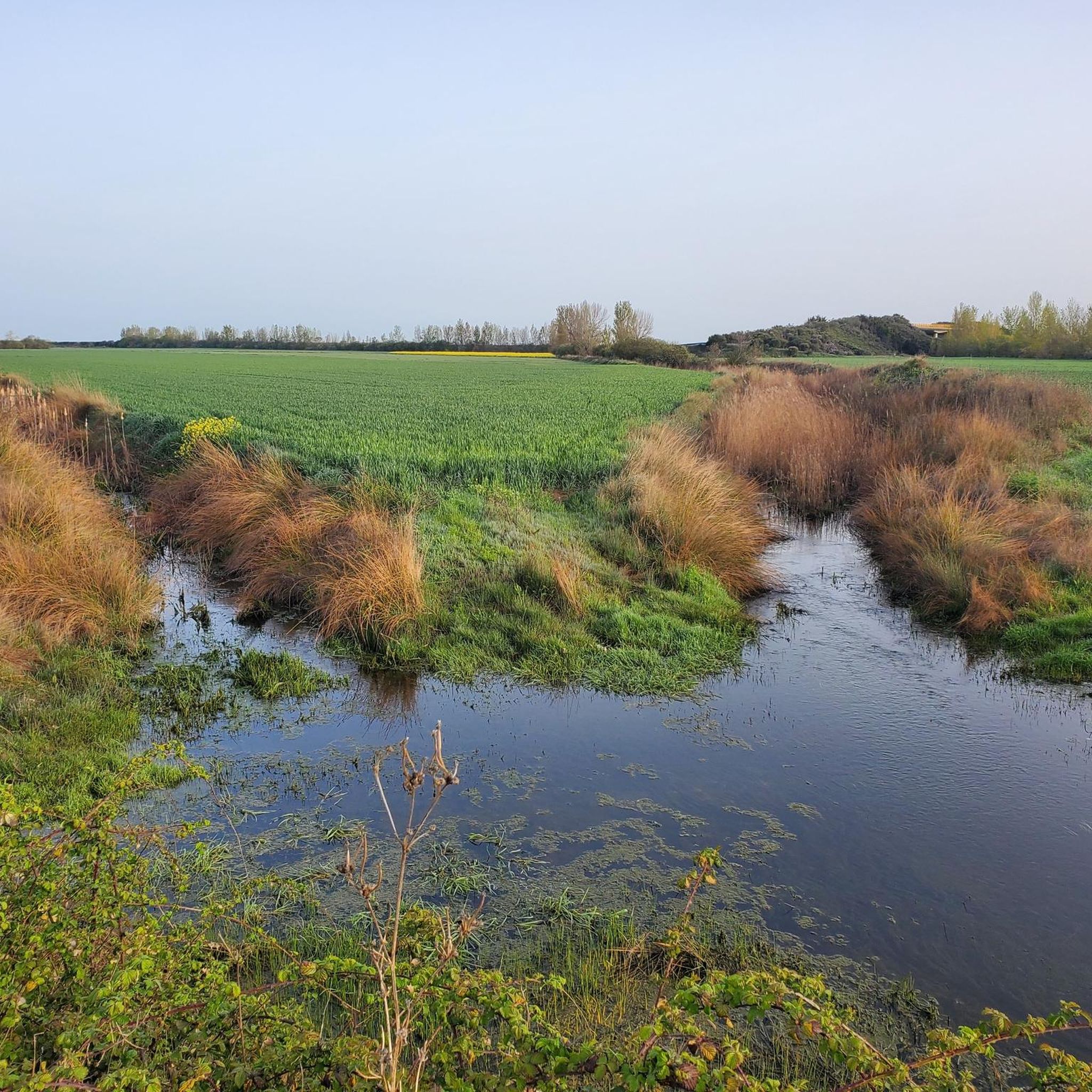
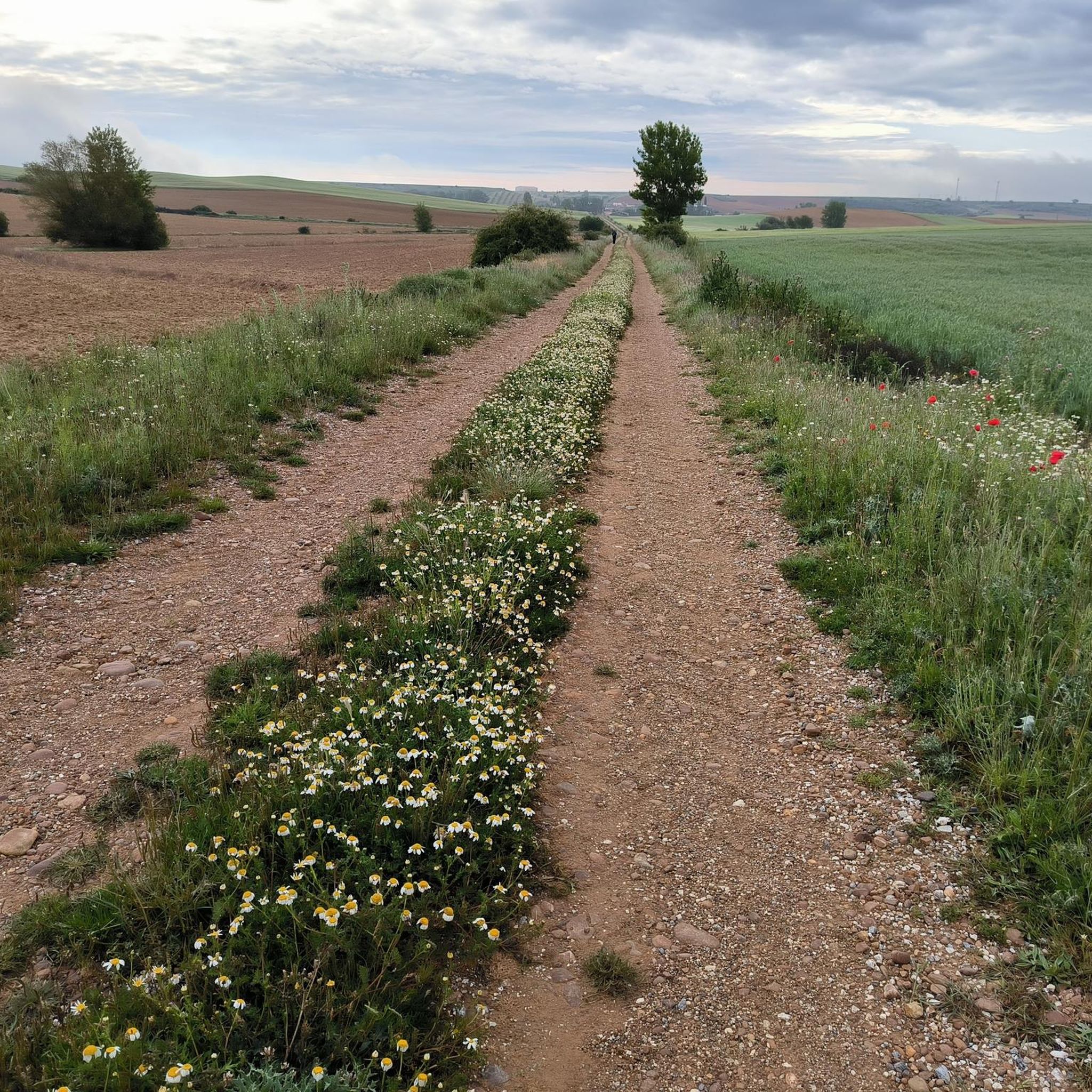
Hiking around Saldaña-Valdavia, a region in Palencia, Spain, offers diverse trails through picturesque natural settings. The landscape is characterized by the Carrión River, which provides accessible promenades, and fertile valleys suggesting gentle walking routes. Historical landmarks, such as the ruins of the Castle of the Counts of Saldaña, are integrated into many hiking itineraries. The area features a mix of riverside paths, agricultural plains, and rolling hills.
Best hiking trails around Saldaña-Valdavia
- The most popular hiking route is Trail La vuelta del Merendero — desde Saldaña, an easy 4.5 miles (7.2 km) trail that takes 1 hour 57 minutes to complete. This path offers a pleasant walk through the local surroundings of Saldaña.
- Another top favourite among local hikers is Ruinas del Castillo de los Condes Saldaña — circular por los prados de Saldaña, a moderate 7.7 miles (12.4 km) path. This route combines natural scenery with historical exploration, passing by the castle ruins.
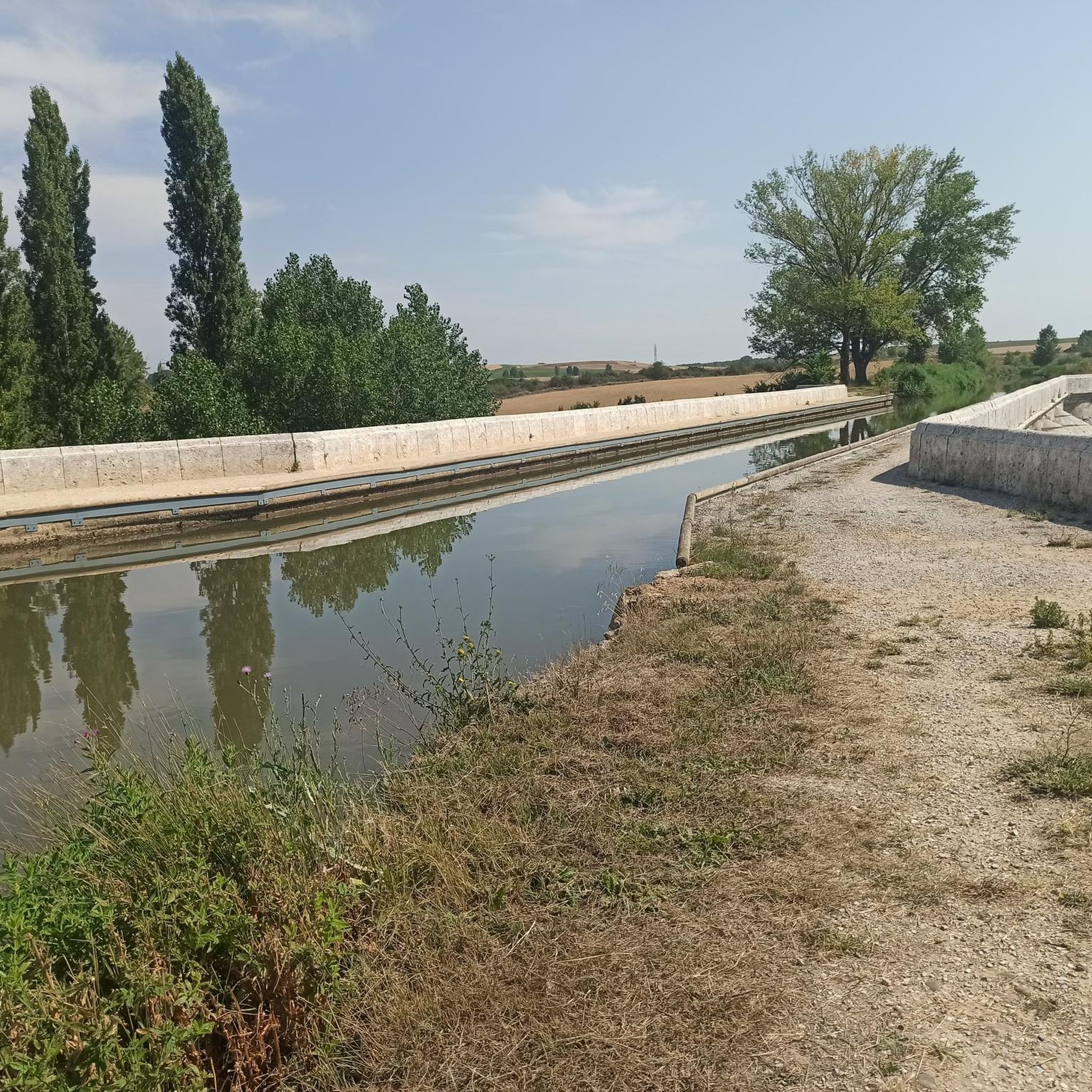
- Local hikers also love the Route along the Carrión River promenade — circular from Saldaña, a 3.2 miles (5.1 km) trail leading through riverside landscapes, often completed in about 1 hour 19 minutes.
- Hiking around Saldaña-Valdavia is defined by riverside paths along the Carrión River, fertile valleys, and historical landmarks. The network offers options for different ability levels, from easy strolls to more challenging routes.
- The routes in Saldaña-Valdavia are highly rated by the komoot community with an average score of 4.3 stars from over 50 reviews. More than 400 hikers have used komoot to explore Saldaña-Valdavia's varied terrain.
Last updated: July 7, 2026
13
hikers
7.21km
01:57
100m
90m
Easy hike. Great for any fitness level. Easily-accessible paths. Suitable for all skill levels.
3.0
(1)
2
hikers
15.2km
04:00
140m
140m
Hike the 9.4-mile Camino Francés section from Moratinos to the geographical center, a moderate route through the Spanish Meseta.

Sign up for free
1
hikers
5.12km
01:19
20m
20m
Easy hike. Great for any fitness level. Easily-accessible paths. Suitable for all skill levels.
5.0
(1)
2
hikers
6.71km
01:53
130m
130m
Easy hike. Great for any fitness level. Easily-accessible paths. Suitable for all skill levels.
5.0
(1)
1
hikers
12.4km
03:23
180m
180m
Hike a moderate 7.7-mile (12.4 km) circular route around Saldaña, exploring historic castle ruins and scenic meadows.
5.0
(1)
1
hikers
4.16km
01:09
70m
70m
Hike the easy Valcabadillo Viewpoint Loop, a 2.6-mile trail offering scenic vistas and panoramic views in Castilla y León.
Hike a moderate 10.0-mile (16.1 km) circular route from Población de Arroyo, experiencing the Meseta landscape of the Camino de Santiago Fra
Easy hike. Great for any fitness level. Easily-accessible paths. Suitable for all skill levels.
5.0
(1)
5
hikers
28.4km
07:26
220m
220m
Hard hike. Very good fitness required. Easily-accessible paths. Suitable for all skill levels.
6
hikers
Moderate hike. Good fitness required. Easily-accessible paths. Suitable for all skill levels.
Get access to more routes and recommendations from other explorers.
Sign up for free
Already have an account?
Our route recommendations are based on thousands of hikes, rides, and runs completed by other people on komoot.
Start today with a free account
Your next adventure awaits.
Login or Signup
Popular around Saldaña-Valdavia




Tips from the Community

It is located in a rest area at the entrance to the town, next to the Camino de Santiago. It depicts a Templar knight wearing metal armor, a sword, and a cape, looking toward the horizon, as a symbol of vigilance, protection, and spirituality. The work is accompanied by a plaque with the title "Land of God," evoking the sacred nature of the Camino and the Templar past of the area.
1
0
The sculpture of the Metal Knight "Land of God" in Terradillos de los Templarios is a symbolic work that pays tribute to the Templar legacy and the spirit of the pilgrim on the French Way of St. James.
1
0
Ledigos, in the province of Palencia, is a small town with about 60 inhabitants, located on the French Way of St. James, between Calzadilla de la Cueza and Terradillos de los Templarios. Its history, architecture, and natural surroundings make it an interesting stop for pilgrims and travelers.
1
0
Calzadilla de la Cueza is a small town in the province of Palencia, with just 50 inhabitants, located in the Tierra de Campos region and part of the municipality of Cervatos de la Cueza. It is a major stop on the French Way of St. James and is also linked to the ancient Via Aquitania, a Roman road whose sections are still visible.
1
0
The Hermitage of the Virgin of the Bridge is a historic gem located about three kilometers east of Sahagún, in the province of León. Built in the 13th century, the hermitage is an example of the Mudejar style, characterized by its blend of Christian and Islamic elements. It's a place steeped in history and tradition, perfect for a visit if you're in the area.
7
0

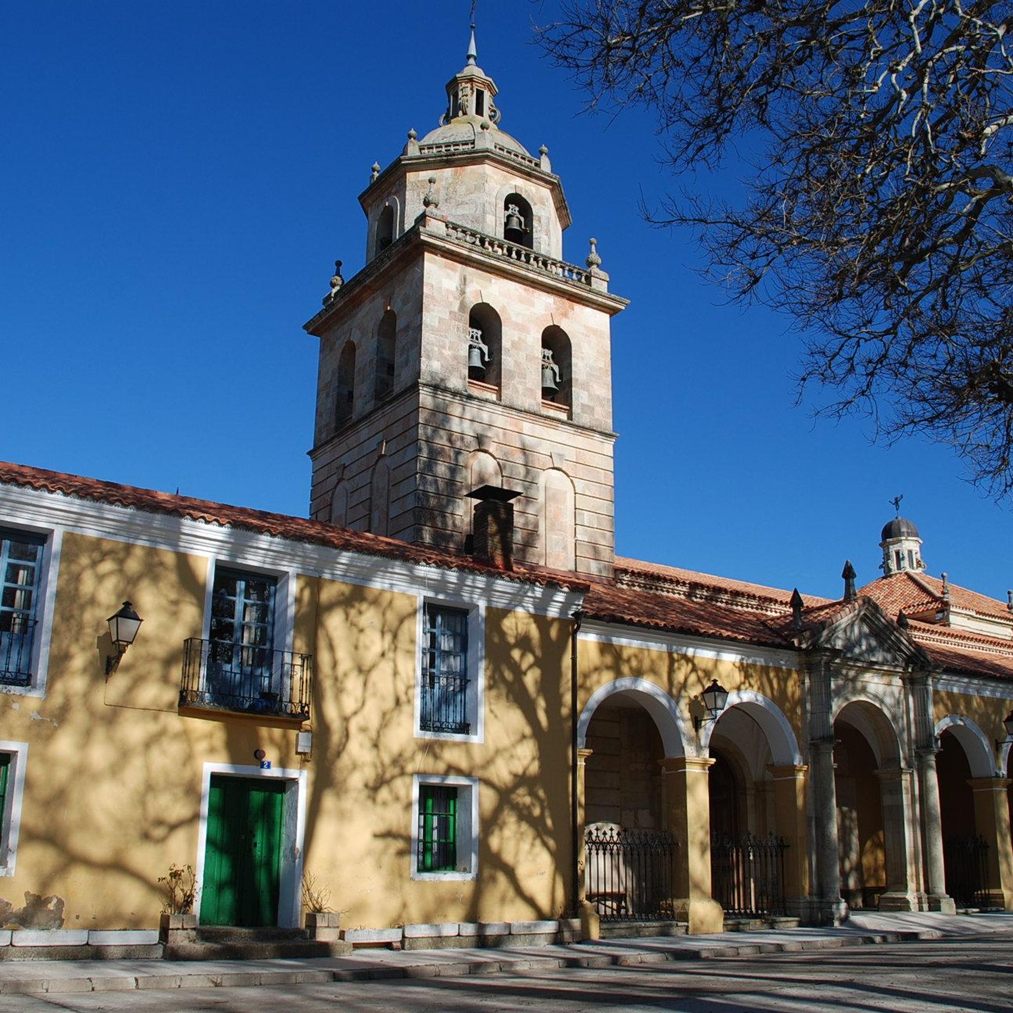
Ledigos is a small village in the province of Palencia, located in the region of Castilla y León, Spain. It lies on the Camino Francés, the popular pilgrimage route to Santiago de Compostela. Despite having a population of only around 66, the village offers three albergues for pilgrims who choose to stay here instead of continuing on to Sahagún. The village has a beautiful church, the Iglesia Parroquial de Santiago Apóstol, with altars from the 17th and 18th centuries and a modern brick bell tower. It also offers beautiful views of the surrounding area due to its hilltop location.
1
0

These mounds of earth are often seen. They are often used as storage space.
1
0
Directly on the Way of St. James you can see this earthen cave, which was dug for the storage of wine and food.
2
0
Frequently Asked Questions
How many hiking trails are available in Saldaña-Valdavia?
There are over 30 hiking routes in the Saldaña-Valdavia region, offering a variety of experiences for different skill levels. These include easy strolls, moderate treks, and some more challenging paths.
What types of landscapes can I expect to see while hiking in Saldaña-Valdavia?
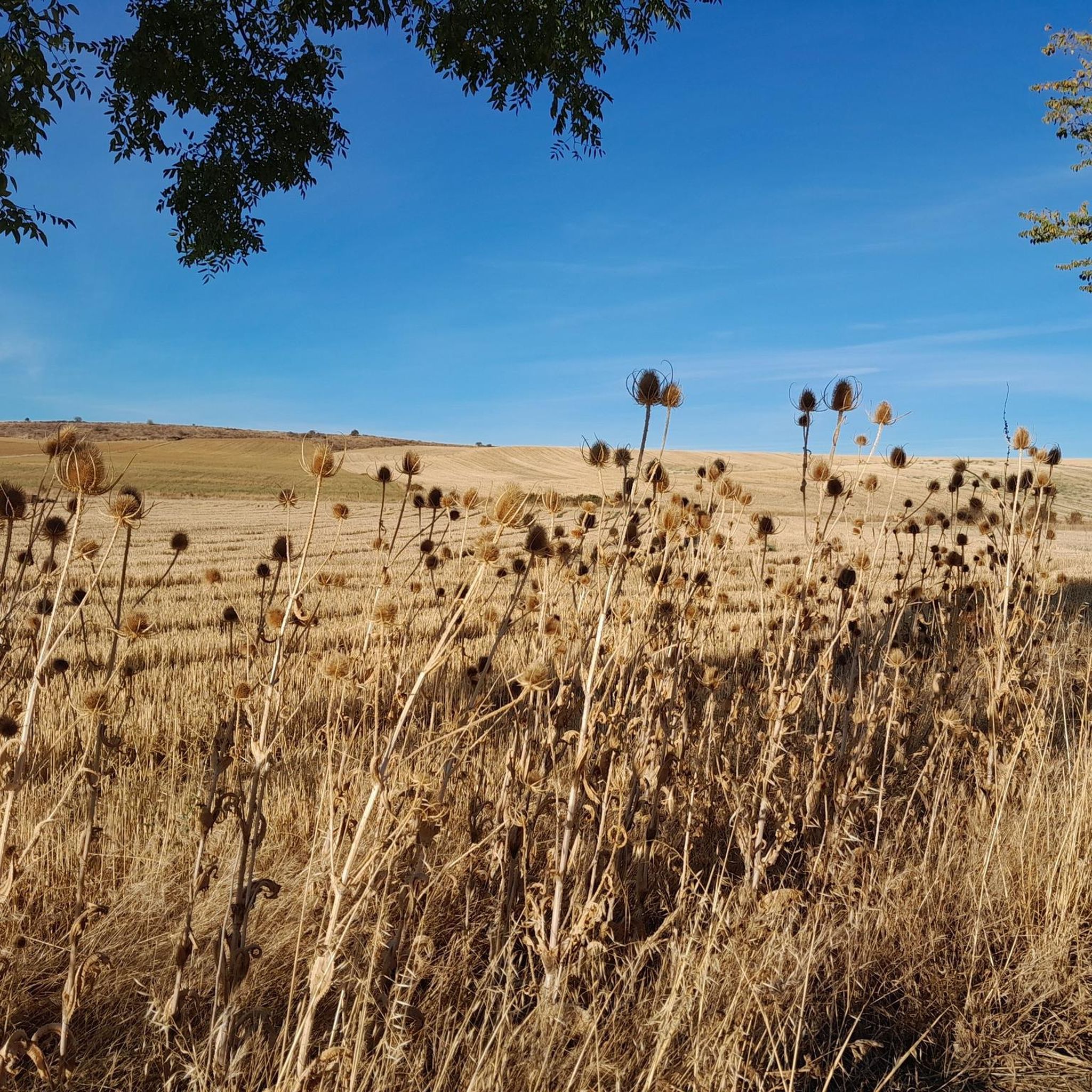
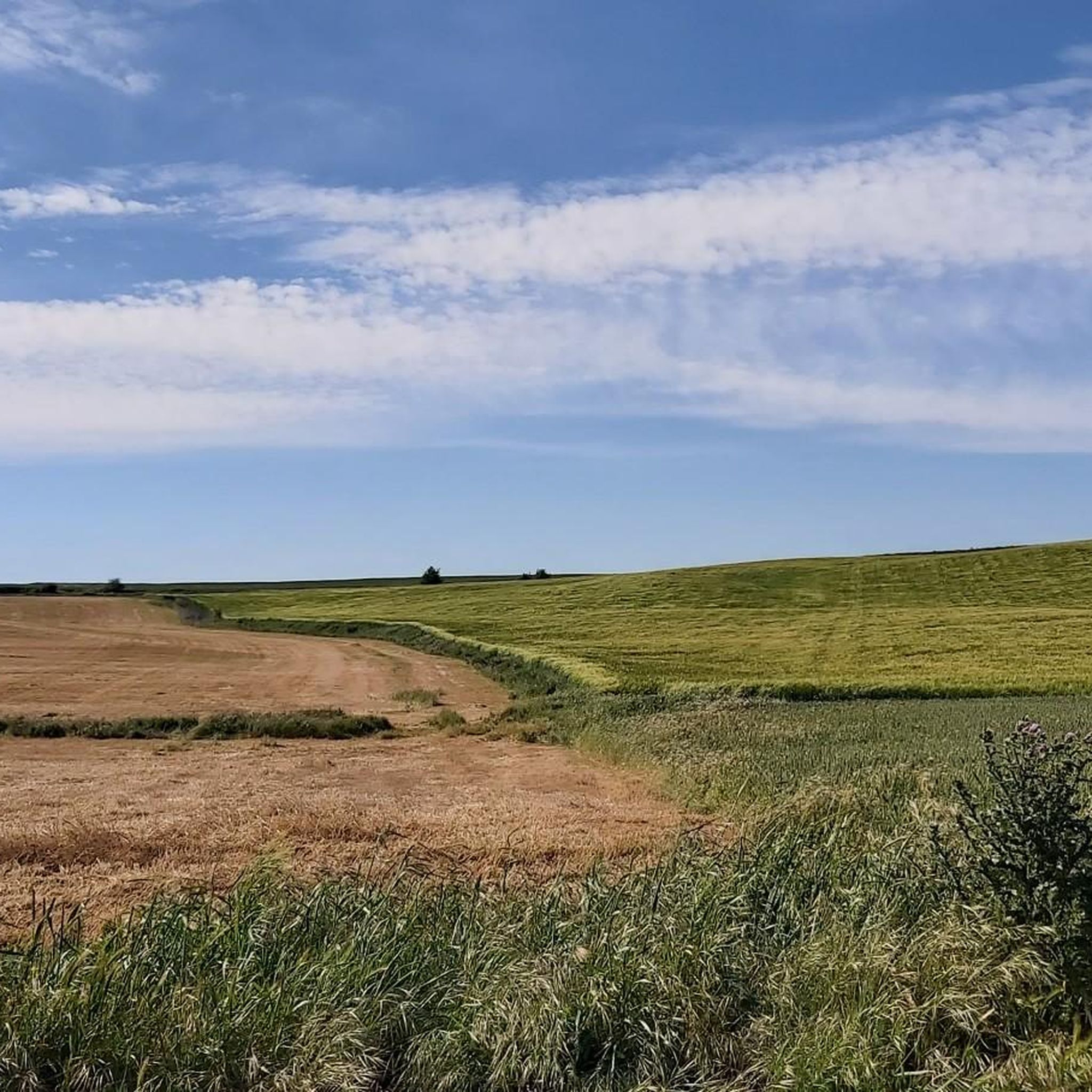
The region is characterized by picturesque and varied topography. You'll find riverside paths along the Carrión River, fertile valleys, agricultural plains, and rolling hills. Many routes also integrate historical landmarks into the natural scenery.
What is the best time of year to go hiking in Saldaña-Valdavia?
Saldaña-Valdavia offers pleasant hiking conditions for much of the year. Spring and autumn generally provide mild temperatures and beautiful scenery. Summer can be warm, making early morning or late afternoon hikes more comfortable, especially along shaded river paths.
Are there easy hiking trails suitable for beginners or casual walkers?
Yes, Saldaña-Valdavia has 10 easy hiking trails. An excellent option is the Route along the Carrión River promenade — circular from Saldaña, which is a gentle 3.2-mile (5.1 km) path often completed in about 1 hour 19 minutes.
Can I find challenging hiking routes in Saldaña-Valdavia?
Yes, there are 4 difficult hiking routes for those seeking a greater challenge. One such route is the Royal Monastery of San Zoilo – Meseta Landscape loop from Villaturde, which covers nearly 25 km.
Are there any circular hiking routes in the region?
Many routes in Saldaña-Valdavia are circular, allowing you to start and end in the same location. For example, the Ruinas del Castillo de los Condes Saldaña — circular por los prados de Saldaña is a moderate 7.7-mile (12.4 km) loop that combines natural scenery with historical exploration.
What historical landmarks or attractions can I explore on a hike?
Saldaña-Valdavia is rich in history. You can hike past the impressive Ruins of the Castle of the Counts of Saldaña, explore the ancient Cueva de San Patricio, or visit the Monographic Museum of Villa de La Olmeda in Saldaña, which showcases Roman artifacts. The historic town center of Saldaña itself is also a charming starting point for walks.
Are there any trails that follow the Carrión River?
Yes, the Carrión River is a prominent feature of the landscape, and several trails follow its course. A popular option is the Route along the Carrión River promenade — circular from Saldaña, offering accessible and pleasant riverside walking.
Are the hiking trails in Saldaña-Valdavia family-friendly?
Many trails in Saldaña-Valdavia are suitable for families, particularly the easy and moderate routes. The accessible riverside promenades and shorter circular paths are great for outings with children. For example, the El Mirador de Valcabadillo — circular is an easy 4.1 km route.
Are there any dog-friendly hiking options in Saldaña-Valdavia?
While specific restrictions can vary, many natural trails in Saldaña-Valdavia are generally dog-friendly, especially if your dog is well-behaved and kept on a leash. Always ensure to clean up after your pet and respect local regulations, particularly in populated areas or near livestock.
What do other hikers enjoy the most about hiking in Saldaña-Valdavia?
The area is highly rated by the komoot community, with an average score of 4.3 stars from over 50 reviews. Reviewers often praise the diverse landscapes, the integration of historical sites with nature, and the variety of routes catering to different abilities, from gentle riverside walks to more demanding treks.
Is public transport available to reach hiking trailheads in Saldaña-Valdavia?
Public transport options within the Saldaña-Valdavia region are limited. While Saldaña itself is accessible by bus from larger towns, reaching specific trailheads often requires a car. It's advisable to check local bus schedules in advance if relying on public transport.
Where can I find information about the Saldaña-Valdavia region for my trip planning?
For general information about the Saldaña-Valdavia region and its attractions, you can visit the official tourism website for Spain: spain.info/en/destination/saldana/. This can provide additional context for your hiking trip.
Most popular routes around Saldaña-Valdavia
Most popular attractions around Saldaña-Valdavia

Get inspired with the komoot mobile app


Didn’t find what you were looking for?
Check out more Hikes throughout Saldaña-Valdavia below and find the perfect route in your destination.
Explore more
Browse the best Hikes in other regions.
