The best walks and hikes around Étang D'Yrieu
4.5
(633)
5,925
hikers
230
hikes
Hiking around Étang D'Yrieu offers access to a diverse landscape characterized by ancient parabolic dunes, ecologically vital wetlands, and mixed natural forests. This natural lake, located in Saint-Martin-de-Seignanx, is part of an interconnected environment that includes the Boudigau river and the nearby Marais d'Orx. The region's geological history has shaped its terrain, featuring a blend of marshy meadows and shaded forest sections.
Best hiking trails around Étang D'Yrieu
- The most popular hiking route is Centenary Tree loop from Gare de…
Last updated: August 18, 2026
5.0
(2)
11
hikers
9.55km
02:27
40m
40m
Moderate hike. Good fitness required. Easily-accessible paths. Suitable for all skill levels.
7
hikers
10.1km
02:36
50m
50m
Moderate hike. Good fitness required. Easily-accessible paths. Suitable for all skill levels.

Sign up for free
3
hikers
11.0km
02:49
50m
50m
Moderate hike. Good fitness required. Easily-accessible paths. Suitable for all skill levels.
5.0
(1)
6
hikers
25.2km
06:22
40m
40m
Hard hike. Very good fitness required. Easily-accessible paths. Suitable for all skill levels.
5.0
(1)
4
hikers
10.8km
02:44
20m
20m
Moderate hike. Good fitness required. Easily-accessible paths. Suitable for all skill levels.
Get access to more routes and recommendations from other explorers.
Sign up for free
Already have an account?
Our route recommendations are based on thousands of hikes, rides, and runs completed by other people on komoot.
Start today with a free account
Your next adventure awaits.
Login or Signup

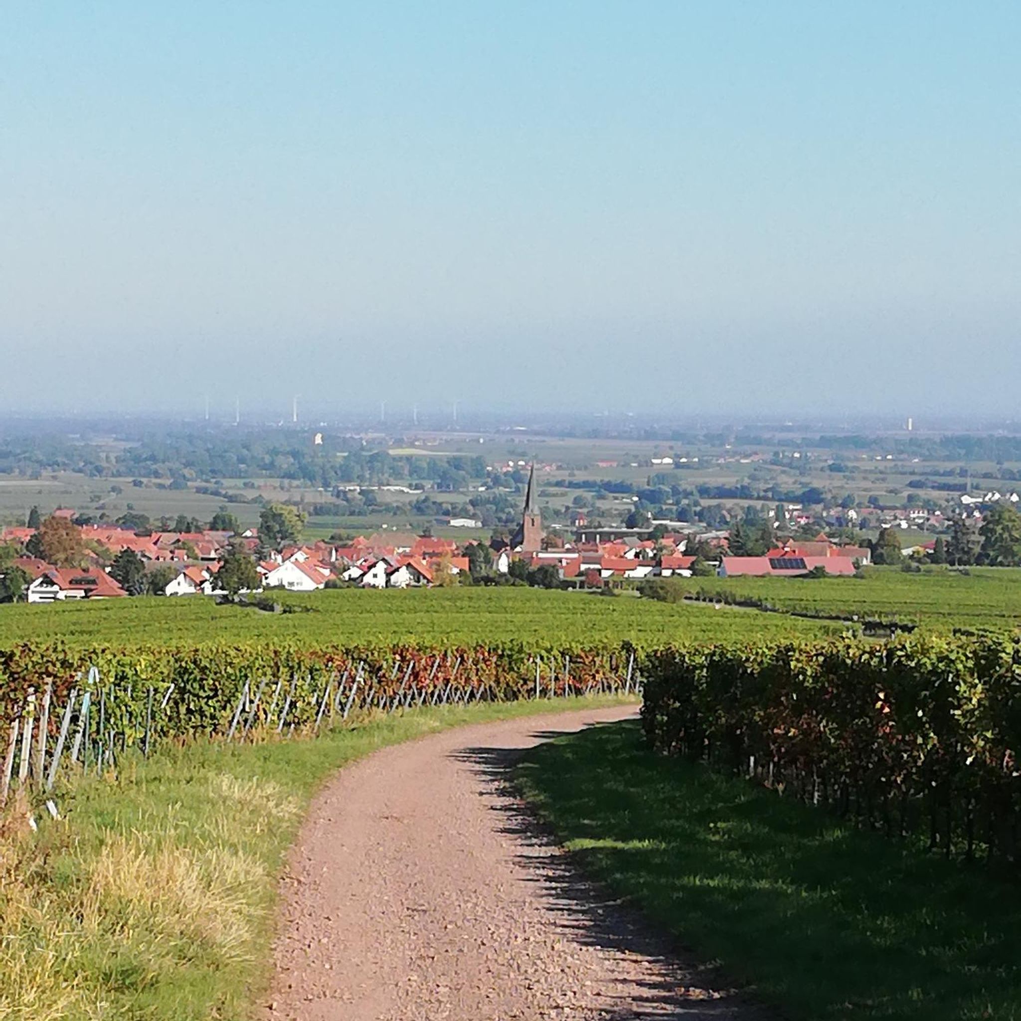
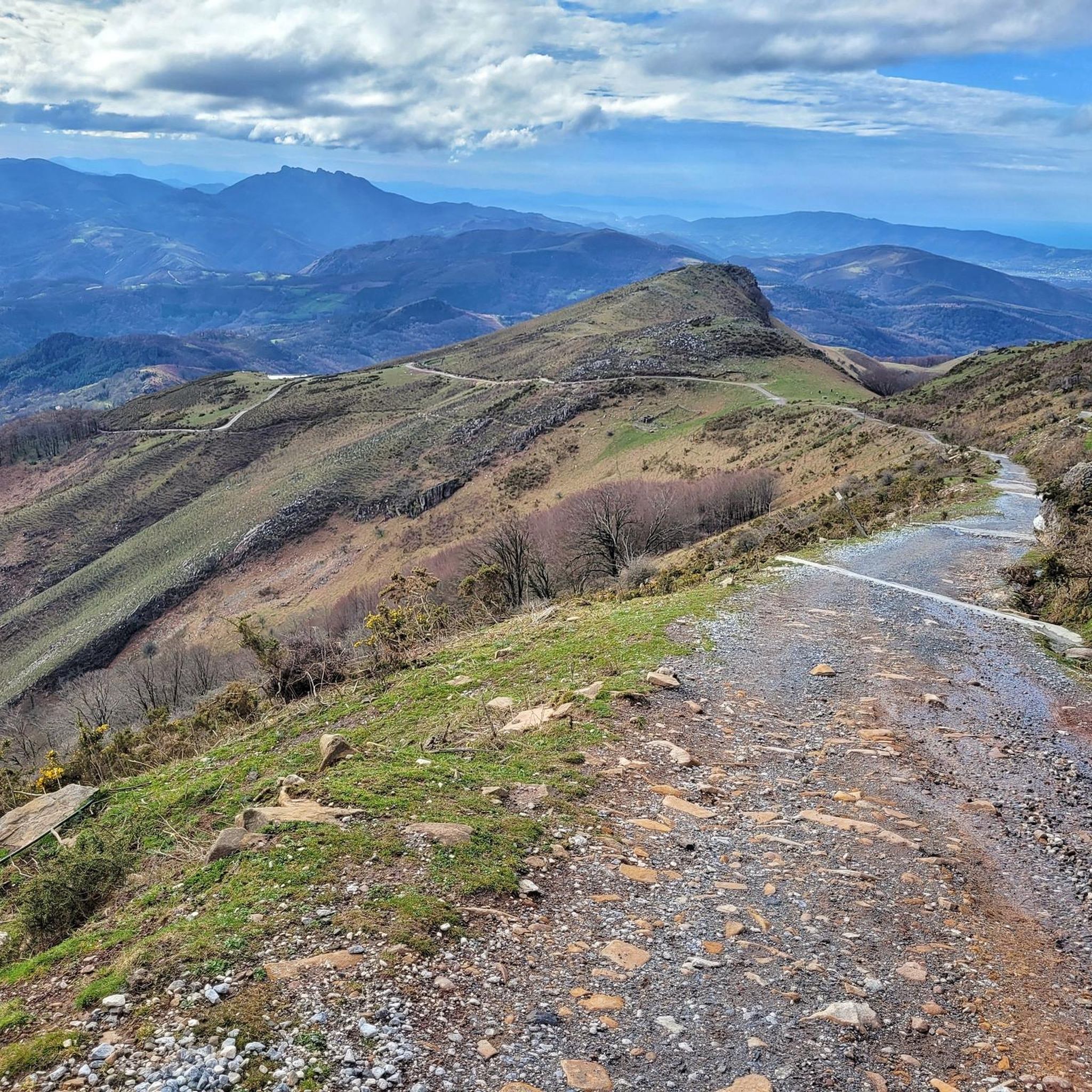
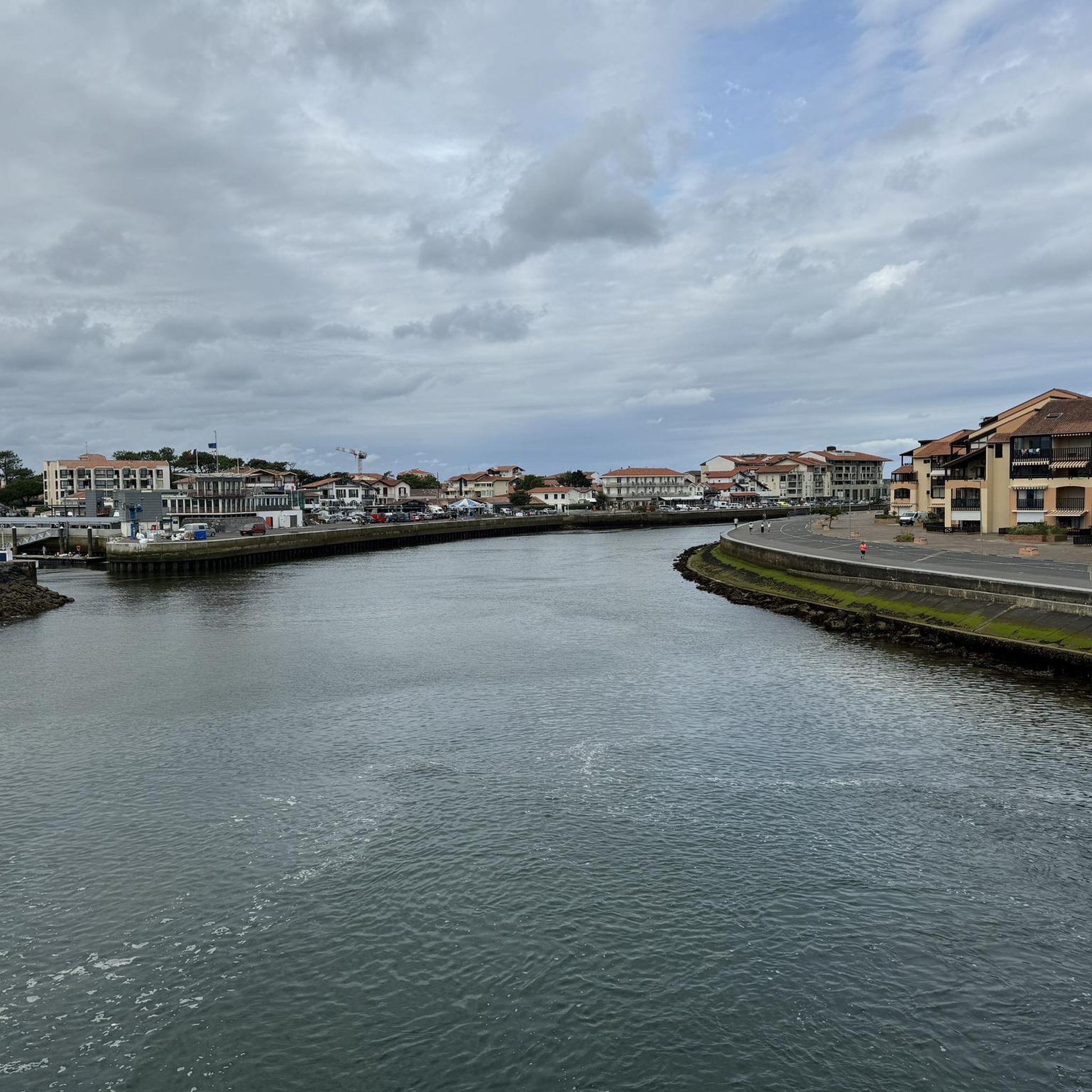

Tips from the Community

Wild camping there in 2006 with a fantastic sunset
0
0

Shaded path with many species of trees and pines, breathe deeply.
1
0


A pleasant outing mainly on the dam marsh. The song of frogs, birds, smells and encounters along the trails
3
1
The river can be followed by a wide path, from the Orx marsh to Capbreton
2
0
The smells are pleasant on certain portions of the trail
2
0

Big parking lot for bikes, bar, ice cream and a huge beach
1
0

At the beach of Ondres we arrived at the Atlantic. The 31st stage of our tour "3000 km around southern France" begins.
0
0
Frequently Asked Questions
How many hiking trails are there around Étang D'Yrieu?
There are over 220 hiking routes available around Étang D'Yrieu. This includes a wide variety of trails, from easy strolls to more challenging excursions, ensuring options for all skill levels.
What kind of terrain can I expect on the hiking trails?
The terrain around Étang D'Yrieu is quite diverse, characterized by the interplay of ancient parabolic dunes, the hills of Seignanx, and extensive wetlands. You'll find paths traversing cool, shaded forest sections, marshy meadows known as "barthes," and even some residential areas. The region is known for its natural lake and interconnected wetland system, offering unique ecological insights.
Are there family-friendly hiking options near Étang D'Yrieu?
Yes, many of the trails around Étang D'Yrieu are suitable for families. The region offers diverse walking routes, ranging from easy to medium difficulty, with varying distances. Some paths traverse shaded forest sections, providing a pleasant experience for all ages. There are 145 easy routes to choose from, perfect for a family outing.
Are dogs allowed on the hiking trails around Étang D'Yrieu?
While specific regulations can vary by trail, generally, dogs are welcome on many hiking paths in the region, often on a leash. It's always a good idea to check local signage or specific route descriptions for any restrictions, especially in protected wetland areas like the nearby Marais d'Orx, which is an important ecological site.
What natural features or landmarks can I see while hiking?
The area is rich in natural beauty. You can explore the ecologically vital wetlands, which are home to diverse plant and animal species, including migratory birds. The landscape features ancient dunes, forests of cork oaks, pedunculate oaks, and chestnut trees, as well as marshy meadows. The nearby Marshes d'Orx reserve loop from Labenne - Capbreton offers a great opportunity to experience these unique environments.
Are there circular hiking routes available?
Yes, there are several circular routes around Étang D'Yrieu, perfect for day trips. For example, the Centenary Tree loop from Gare de Labenne is a moderate 8 km circular hike. Another option is the Labenne Dunes Trail – Labenne central beach loop from Gare de Labenne, which is a longer moderate circular route.
What is the best time of year to go hiking in this region?
The region around Étang D'Yrieu offers pleasant hiking conditions for much of the year. Spring and autumn are particularly enjoyable, with mild temperatures and vibrant natural colors. Summer can be warm, but many trails feature shaded forest sections, providing relief from the sun. Winter hiking is also possible, allowing you to experience the unique wetland environment in a different light.
How long do hikes typically take around Étang D'Yrieu?
Hike durations vary significantly depending on the route's distance and your pace. Many trails are designed for shorter excursions, ranging from 1 to 3 hours. However, longer routes like the Secure Bicycle Parking loop from Ondres can take over 2.5 hours, offering more extensive exploration of the area.
Is there parking available near the trailheads?
Yes, parking is generally available near many of the trailheads and popular starting points for hikes around Étang D'Yrieu. Specific parking information can often be found in the details of individual route descriptions on komoot, helping you plan your visit effectively.
Can I reach the hiking trails using public transport?
While direct public transport to every trailhead might be limited, some routes are accessible via public transport hubs. For instance, routes starting from "Gare de Labenne" like the Centenary Tree loop suggest proximity to train services, making them more accessible without a car. It's advisable to check local transport schedules for specific starting points.
What do other hikers enjoy most about hiking in Étang D'Yrieu?
The area is highly rated by the komoot community, with an average score of 4.5 stars from over 500 reviews. Hikers often praise the diverse landscapes, from tranquil wetlands and shaded forests to coastal dunes, and the opportunity to observe local wildlife. The variety of easy to moderate trails also makes it a popular choice for different experience levels.
Most popular routes around Étang D'Yrieu

Get inspired with the komoot mobile app


Explore more
Browse the best Hikes in other regions.
