The best running trails around Lac de Gruyère
4.3
(158)
10,150
runners
563
runs
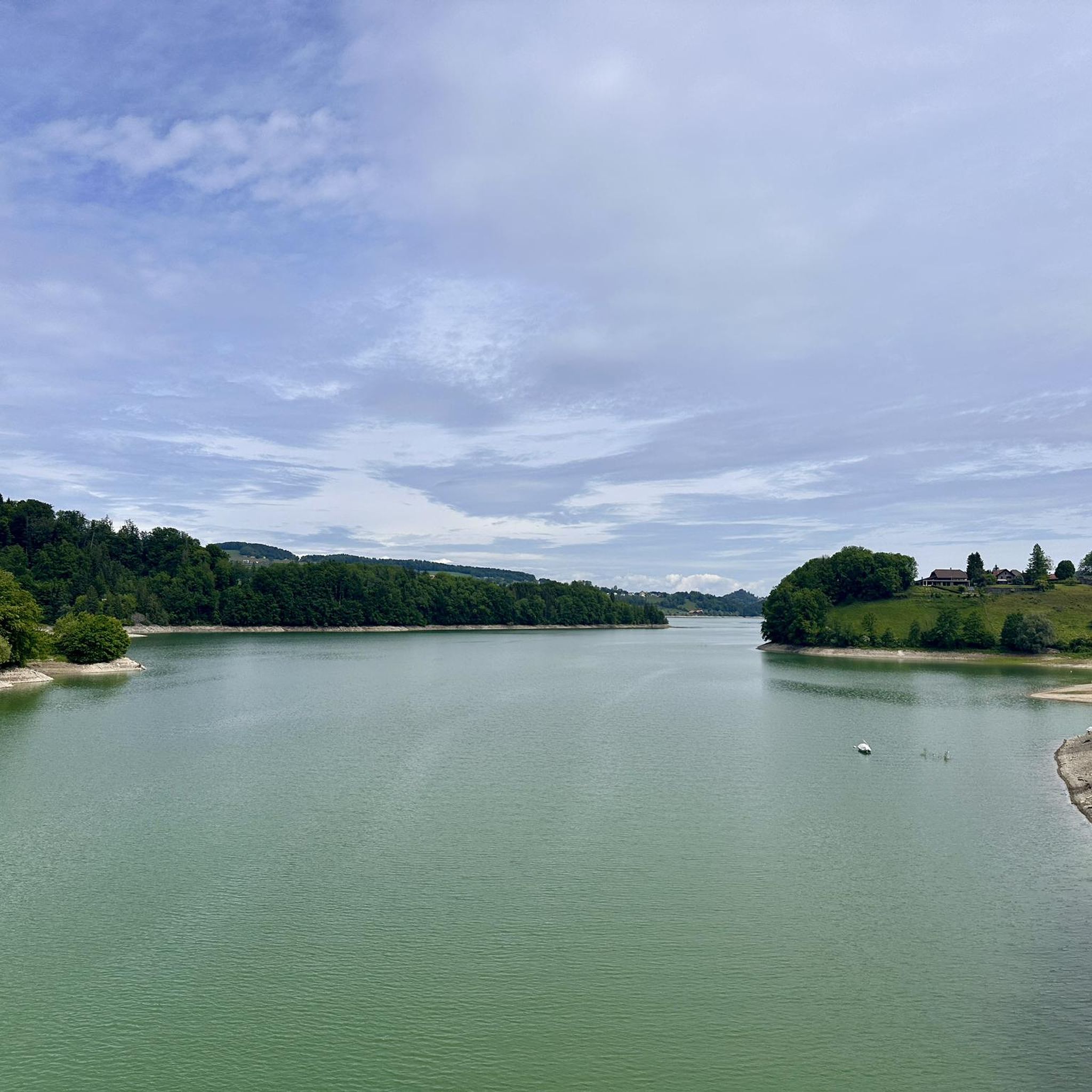
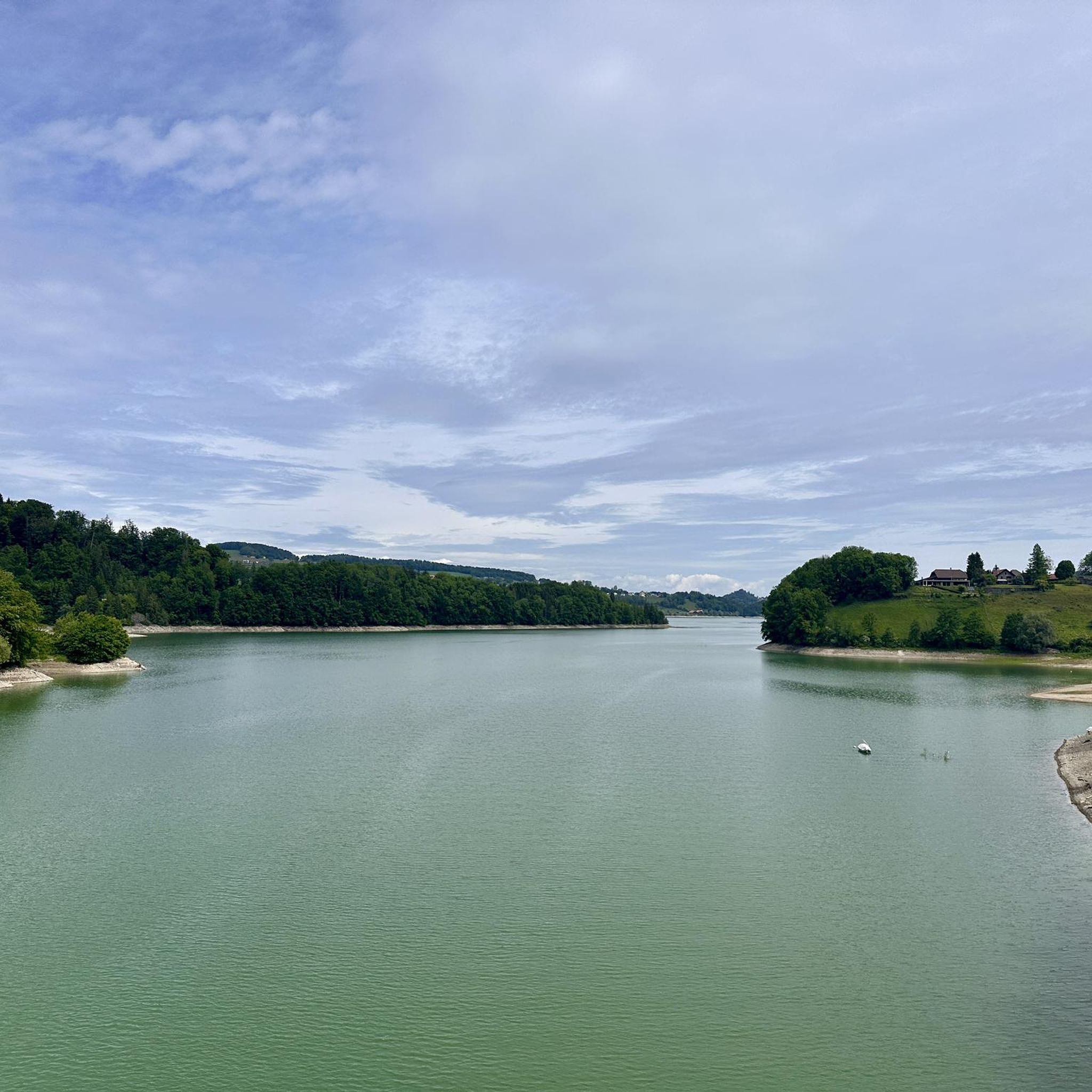
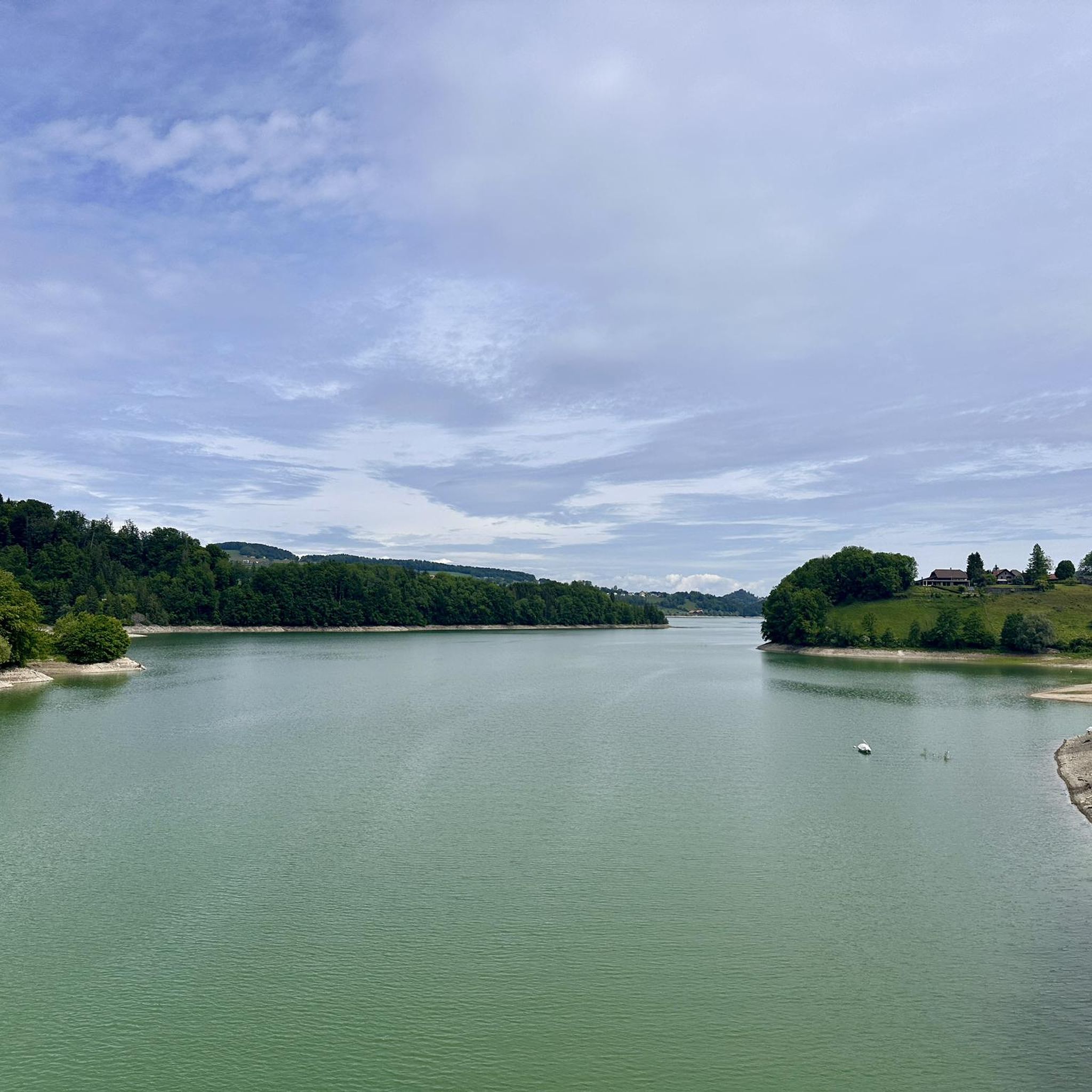
Jogging around Lac de Gruyère offers diverse routes encircling the artificial lake, characterized by views of the Pre-Alps and the Saane River. The landscape features green hills, forested areas, and agricultural land, with paths often running alongside the water's edge. Notable landmarks include Ogoz Island with its medieval ruins and the imposing Rossens Dam. The region provides a mix of mostly paved surfaces and accessible paths through varied terrain.
Best jogging routes around Lac de Gruyère
- The most popular jogging…
Last updated: July 10, 2026
46
runners
10.8km
01:14
100m
100m
Moderate run. Good fitness required. Mostly paved surfaces. Suitable for all skill levels.
55
runners
31.2km
03:39
630m
630m
Hard run. Very good fitness required. Mostly paved surfaces. Suitable for all skill levels.

Sign up for free
5.0
(1)
36
runners
14.7km
01:43
280m
280m
Moderate run. Good fitness required. Mostly paved surfaces. Suitable for all skill levels.
4.0
(1)
31
runners
9.96km
01:10
200m
200m
Moderate run. Good fitness required. Mostly paved surfaces. Suitable for all skill levels.
4.0
(1)
22
runners
7.07km
00:47
120m
120m
Moderate run. Good fitness required. Mostly paved surfaces. Suitable for all skill levels.
Get access to more routes and recommendations from other explorers.
Sign up for free
Already have an account?
Our route recommendations are based on thousands of hikes, rides, and runs completed by other people on komoot.
Start today with a free account
Your next adventure awaits.
Login or Signup

Tips from the Community

Here is a link to it: https://fribourg.ch/de/la-gruyere/architektur-und-denkmaeler/zu-fuss-auf-die-ogoz-insel-greyerzersee/
1
0

If the water level is below 668 m above sea level, you can walk all the way to the island. This usually happens in March, but you can always check the status and forecast: https://www.groupe-e.ch/de/ueber-groupe-e/wasserstand-seen/gruyere
0
0

Mega beautiful..... for a walk with the dog
0
0


Access on foot on the île d'Ogoz below 668 m above sea level. Usually it’s in March. Also island accessible also on boat: https://ogoz.ch/ile-ogoz/flotte-electro-solaire/
0
0
Access on foot on the île d'Ogoz below 668 m above sea level. Usually it’s in March. Also island accessible on boat: https://ogoz.ch/ile-ogoz/flotte-electro-solaire/
1
0

Imposing Rossens dam which forms Lake Gruyère. Height 83m. The water is transported to the Hauterive power station by a penstock in order to be processed.
2
0

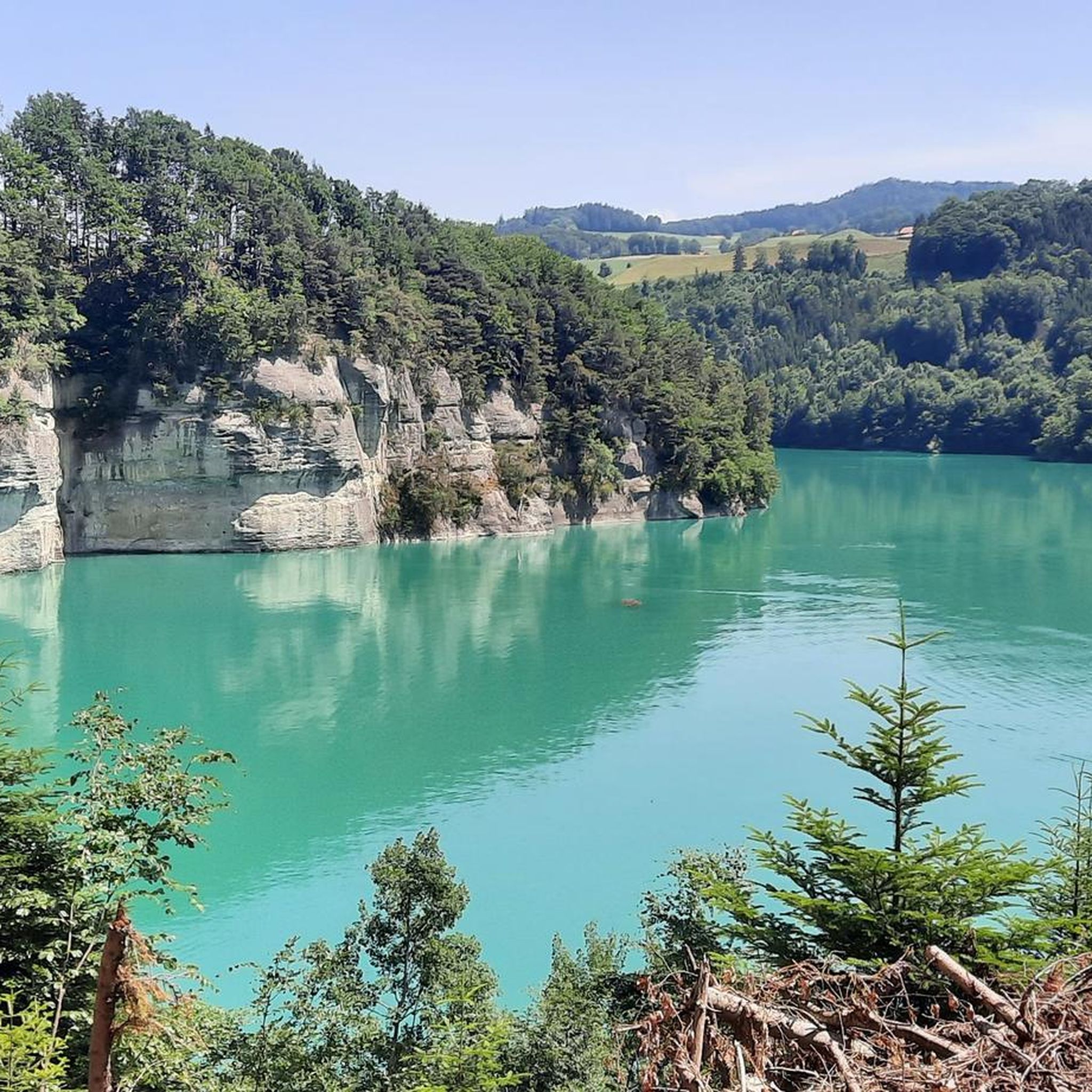
wild, jagged bank, with a view of the Intyamon
1
0
Frequently Asked Questions
How many running routes are available around Lac de Gruyère?
There are over 580 running routes around Lac de Gruyère, offering a wide variety of options for different fitness levels and preferences.
What kind of terrain can I expect on the jogging trails around Lac de Gruyère?
The jogging trails around Lac de Gruyère feature diverse terrain. You'll find a mix of mostly paved surfaces, accessible paths through varied landscapes, forested areas, and agricultural land. Many routes run alongside the water's edge, offering continuous scenic views.
Are there running routes suitable for beginners or those looking for an easy jog?
Yes, Lac de Gruyère offers 38 easy running routes. These paths are generally less challenging, making them perfect for beginners or those seeking a relaxed jog amidst the scenic beauty.
What interesting sights or landmarks can I see while jogging near Lac de Gruyère?
Many routes offer views of notable landmarks. You can see the historic Ogoz Island with its medieval ruins, the impressive Greyerzersee Dam (also known as Rossens Dam), and the rich flora and fauna along the Lake Gruyère (east shore). Some paths also feature monumental wooden sculptures by artist Yves Tinguely.
Can I access Ogoz Island during a run?
Yes, several routes provide access to Ogoz Island. For example, the Lake Gruyère Trail: Pont-la-Ville Loop offers scenic views and access to the island. Depending on water levels, you can often explore the island on foot.
Are there circular running routes around Lac de Gruyère?
Absolutely. Many running routes around Lac de Gruyère are circular, allowing you to start and finish at the same point. A popular option is the By the shore of Lake Gruyère – Lake Gruyère loop from Pont-en-Ogoz, which is a moderate 14.7 km path.
What do other runners enjoy the most about jogging in Lac de Gruyère?
The running routes in Lac de Gruyère are highly rated by the komoot community, with an average score of 4.3 stars from over 140 reviews. Runners often praise the stunning Pre-Alpine views, the diverse terrain, and the opportunity to explore unique landmarks like Ogoz Island and the Rossens Dam.
Are there any challenging running trails with significant elevation gain?
Yes, for more experienced runners, there are 136 difficult routes around Lac de Gruyère. An example is the View of Lake Gruyère – Passage to Île d'Ogoz loop from Rossens (FR), a 31.2 km route with over 600 meters of elevation gain.
Are the running routes around Lac de Gruyère suitable for families?
Many of the easy and moderate routes are suitable for families, especially those with mostly paved or accessible paths. The scenic beauty and points of interest like Ogoz Island can make for an enjoyable outing for all.
Is there parking available near the jogging trails?
While specific parking details for every route are best checked on individual tour pages, the region around Lac de Gruyère generally offers parking facilities at common starting points for outdoor activities. For example, routes like the Passage to Île d'Ogoz – Rossens Dam loop from Rossens (FR) start from Rossens, where parking options are typically available.
What is the best time of year for running around Lac de Gruyère?
The region is excellent for outdoor activities throughout much of the year. Spring and autumn offer pleasant temperatures and vibrant scenery. Summer is also popular, though it can be warmer. Winter jogging is possible, but conditions may vary, especially on higher or less maintained paths.
Can I bring my dog on the running trails?
Generally, dogs are welcome on trails in the Lac de Gruyère region, but it's always advisable to keep them on a leash, especially in agricultural areas or near wildlife. Specific regulations might apply to certain protected areas, so checking local signage is recommended.
Most popular routes around Lac de Gruyère
Most popular attractions around Lac de Gruyère

Get inspired with the komoot mobile app


Explore more
Browse the best Running Trails & Routes in other regions.
