The best walks and hikes around Lac de Gruyère
4.5
(1908)
20,353
hikers
10
hikes
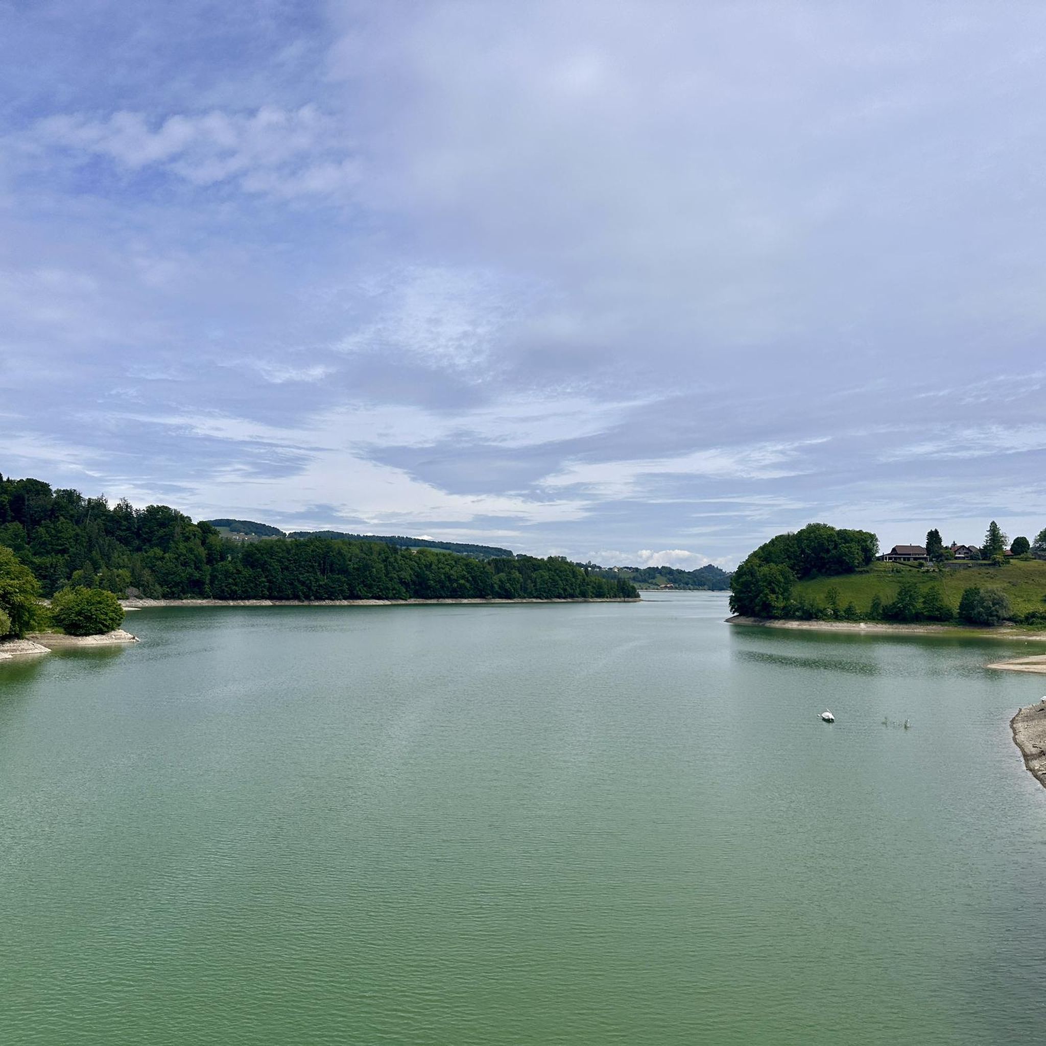
Hiking around Lac de Gruyère features diverse landscapes centered on an artificial reservoir formed by the Sarine River. The region is characterized by undulating forest paths and agricultural areas, providing panoramic views of the Alpine foothills and prominent Fribourg mountains like Moléson and Dent de Broc. Trails often lead through areas with rich local flora, including stands of white willows.
Best hiking trails around Lac de Gruyère
- The most popular hiking route is Corbières Bridge – Ruins of Everdes Castle loop from Corbières, a 4.5 miles (7.3 km) trail that takes 2 hours 3 minutes to complete. This moderate route offers views of the lake and historical ruins.
- Another top favourite among local hikers is Gruyère Lake Trail loop from Corbières, a moderate 4.8 miles (7.6 km) path. This trail provides consistent vistas of Lac de Gruyère and the surrounding mountainous terrain.
- Local hikers also love the Corbières Bridge – View of Lake Gruyère loop from Corbières, a 3.3 miles (5.3 km) trail leading through varied terrain with lake views, often completed in about 1 hour 37 minutes.
- Hiking around Lac de Gruyère is defined by undulating forest paths, agricultural areas, and frequent panoramic views of the lake and Alpine foothills. The network offers options for different ability levels, from easy loops to more challenging ascents.
- The routes in Lac de Gruyère are highly rated by the komoot community with an average score of 4.5 stars from over 400 reviews. More than 4000 hikers have used komoot to explore Lac de Gruyère's varied terrain.
Last updated: July 10, 2026
4.8
(5)
33
hikers
7.40km
02:05
150m
150m
Moderate hike. Good fitness required. Easily-accessible paths. Suitable for all skill levels.
4.3
(3)
64
hikers
7.64km
02:03
90m
90m
Moderate hike. Good fitness required. Easily-accessible paths. Suitable for all skill levels.

Sign up for free
5.0
(2)
25
hikers
5.30km
01:37
170m
170m
Easy hike. Great for any fitness level. Easily-accessible paths. Suitable for all skill levels.
4.9
(11)
109
hikers
9.35km
02:38
200m
200m
Moderate hike. Good fitness required. Easily-accessible paths. Suitable for all skill levels.
4.0
(3)
16
hikers
6.79km
01:50
90m
80m
Easy hike. Great for any fitness level. Easily-accessible paths. Suitable for all skill levels.
Get access to more routes and recommendations from other explorers.
Sign up for free
Already have an account?
Our route recommendations are based on thousands of hikes, rides, and runs completed by other people on komoot.
Start today with a free account
Your next adventure awaits.
Login or Signup
Tips from the Community

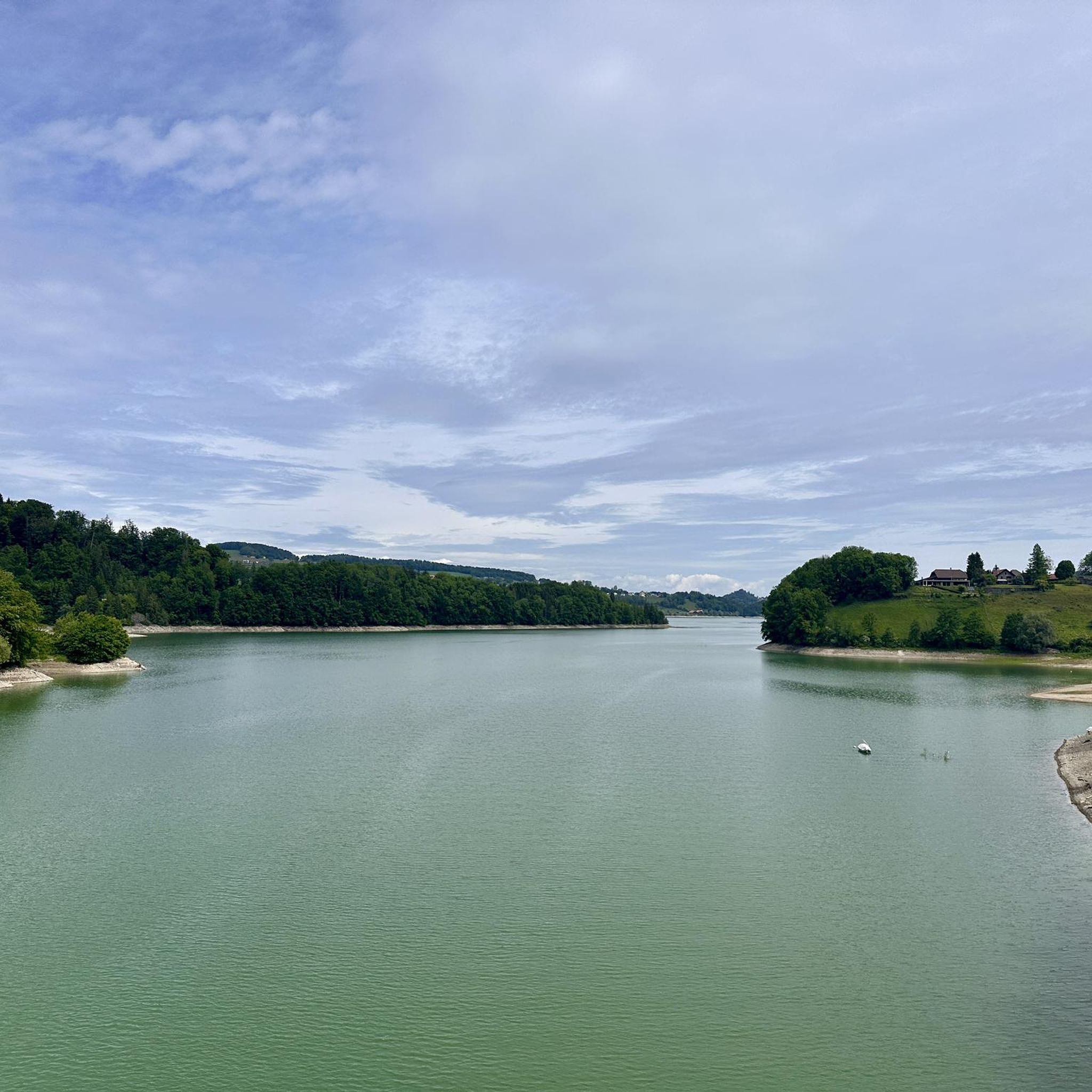
From the bridge, a super beautiful view of the Greyerzersee lake up and down.
2
0
Here is a link to it: https://fribourg.ch/de/la-gruyere/architektur-und-denkmaeler/zu-fuss-auf-die-ogoz-insel-greyerzersee/
1
0

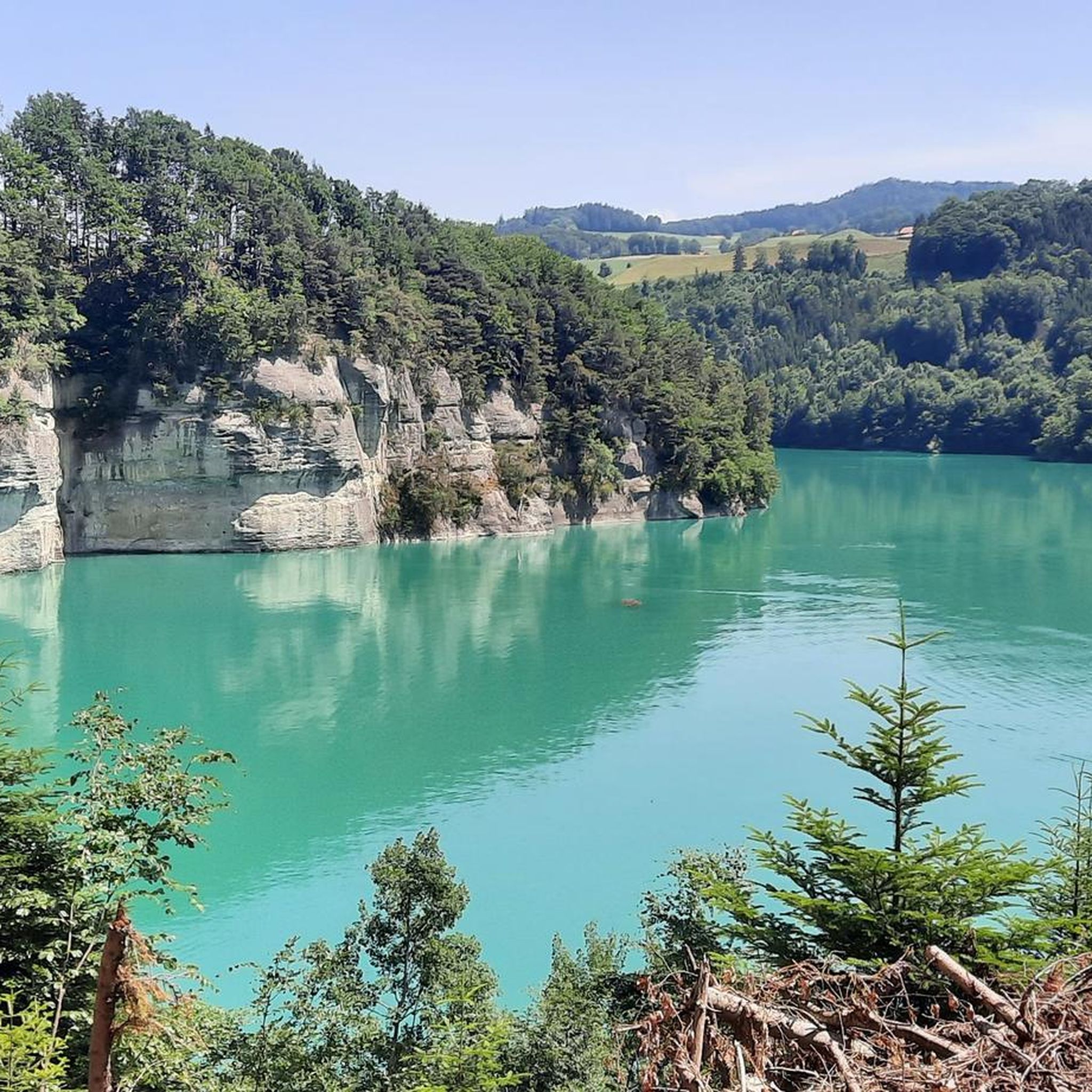
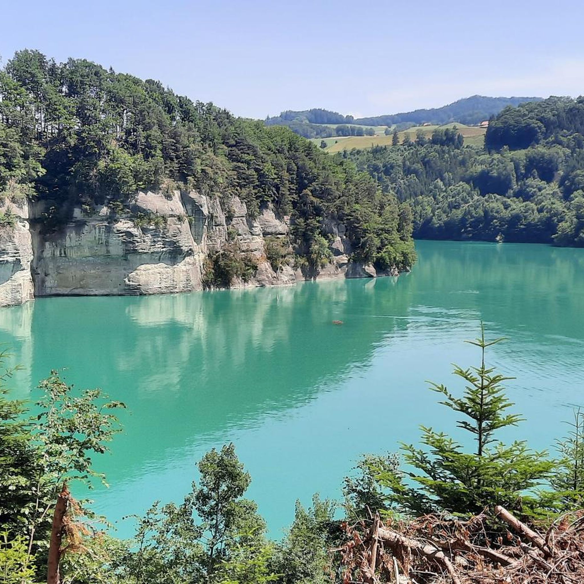
Mostly beautiful, easy-to-hike trail that mostly runs through the forest. Fantastic views of the surrounding mountains and the turquoise lake.
0
0


Good for a break when the weather is nice
0
0

Near the Gruyère lake and the Sarine, on the last non-hilly sections of the Plateau, you can see and admire the first peaks of the Alps.
1
0

Access on foot on the île d'Ogoz below 668 m above sea level. Usually it’s in March. Also island accessible on boat: https://ogoz.ch/ile-ogoz/flotte-electro-solaire/
1
0

wonderful refreshment in the lake, just behind the bridge left down
0
0
Frequently Asked Questions
How many hiking trails are available around Lac de Gruyère?
There are over 10 hiking trails around Lac de Gruyère, offering a variety of experiences. These include 4 easy routes and 7 moderate routes, catering to different fitness levels.
What kind of terrain can I expect on hikes around Lac de Gruyère?
The terrain around Lac de Gruyère is characterized by undulating forest paths and agricultural areas. You'll find lush meadows and dense forests, with frequent opportunities for panoramic views of the lake and the Alpine foothills, including prominent Fribourg mountains like Moléson and Dent de Broc.
Are there easy hiking options suitable for beginners around Lac de Gruyère?
Yes, there are several easy hiking options. For example, the Corbières Bridge – View of Lake Gruyère loop from Corbières is an easy 3.3-mile (5.3 km) trail that offers varied terrain and lake views, typically completed in about 1 hour 37 minutes.
What natural features or landmarks can I see while hiking around Lac de Gruyère?
Hikers can enjoy views of the turquoise waters of Lac de Gruyère, the impressive Rossens Dam, and unique natural elements like the largest stand of white willows in Switzerland near Broc. The trails also offer consistent vistas of the surrounding mountainous terrain.
Are there any historical sites or unique attractions accessible from the hiking trails?
Yes, several historical sites and attractions are accessible. You can visit Ogoz Island, which features the ruins of two medieval castles and a chapel. The impressive Greyerzersee Dam, which formed the lake, is also a notable point of interest. The medieval town of Gruyères and Maison Cailler chocolate factory are also nearby.
Where can I find the best panoramic views of Lac de Gruyère and the surrounding mountains?
Many trails offer excellent views. The Gruyère Lake Trail loop from Corbières provides consistent vistas of Lac de Gruyère and the surrounding mountainous terrain. For truly breathtaking 360-degree panoramas of the Prealps and distant Alps, consider Moléson Mountain, which can be reached by cable car or challenging hikes.
Are there family-friendly hiking trails around Lac de Gruyère?
Yes, the region offers several routes suitable for families. Many of the easy loops are ideal for outings with children, providing gentle paths and scenic views without significant elevation changes. The well-maintained paths and clear signage make navigation straightforward for all ages.
Can I bring my dog on the hiking trails around Lac de Gruyère?
Many trails around Lac de Gruyère are dog-friendly, allowing you to enjoy the natural beauty with your canine companion. It's always recommended to keep dogs on a leash, especially in agricultural areas or near wildlife, and to carry water for them.
Are there circular hiking routes available around Lac de Gruyère?
Yes, circular routes are a highlight of hiking around Lac de Gruyère. The 'Sentier du Lac de la Gruyère' is a 44 km trail that encircles the lake and can be broken down into shorter loop itineraries. An example is the Passage to Île d'Ogoz – Rossens Dam loop from Rossens (FR), a moderate 5.8-mile (9.3 km) circular hike.
What do other hikers enjoy the most about hiking in Lac de Gruyère?
The area is highly rated by the komoot community, with an average score of 4.5 stars from over 400 reviews. Reviewers often praise the diverse landscapes, the consistent lake views, and the well-maintained paths that cater to various ability levels. The blend of natural beauty and cultural attractions is also frequently highlighted.
What is the best time of year to go hiking around Lac de Gruyère?
The best time for hiking around Lac de Gruyère is typically from spring through autumn when the weather is mild and the paths are clear. Spring brings lush greenery and blooming flora, while autumn offers vibrant colors. Summer is also popular, with opportunities for swimming and water sports in the lake.
Are there places to eat or find refreshments along the hiking routes?
Yes, you'll find opportunities for refreshment stops in quaint villages such as Botterens along the hiking routes. These villages often provide a chance to sample local products, including delicious goat's cheeses, and offer a break from your hike.
Most popular routes around Lac de Gruyère
Most popular attractions around Lac de Gruyère

Get inspired with the komoot mobile app


Explore more
Browse the best Hikes in other regions.
