The best mountain hikes around Lej da Champfèr
5.0
(33)
388
hikers
29
hikes
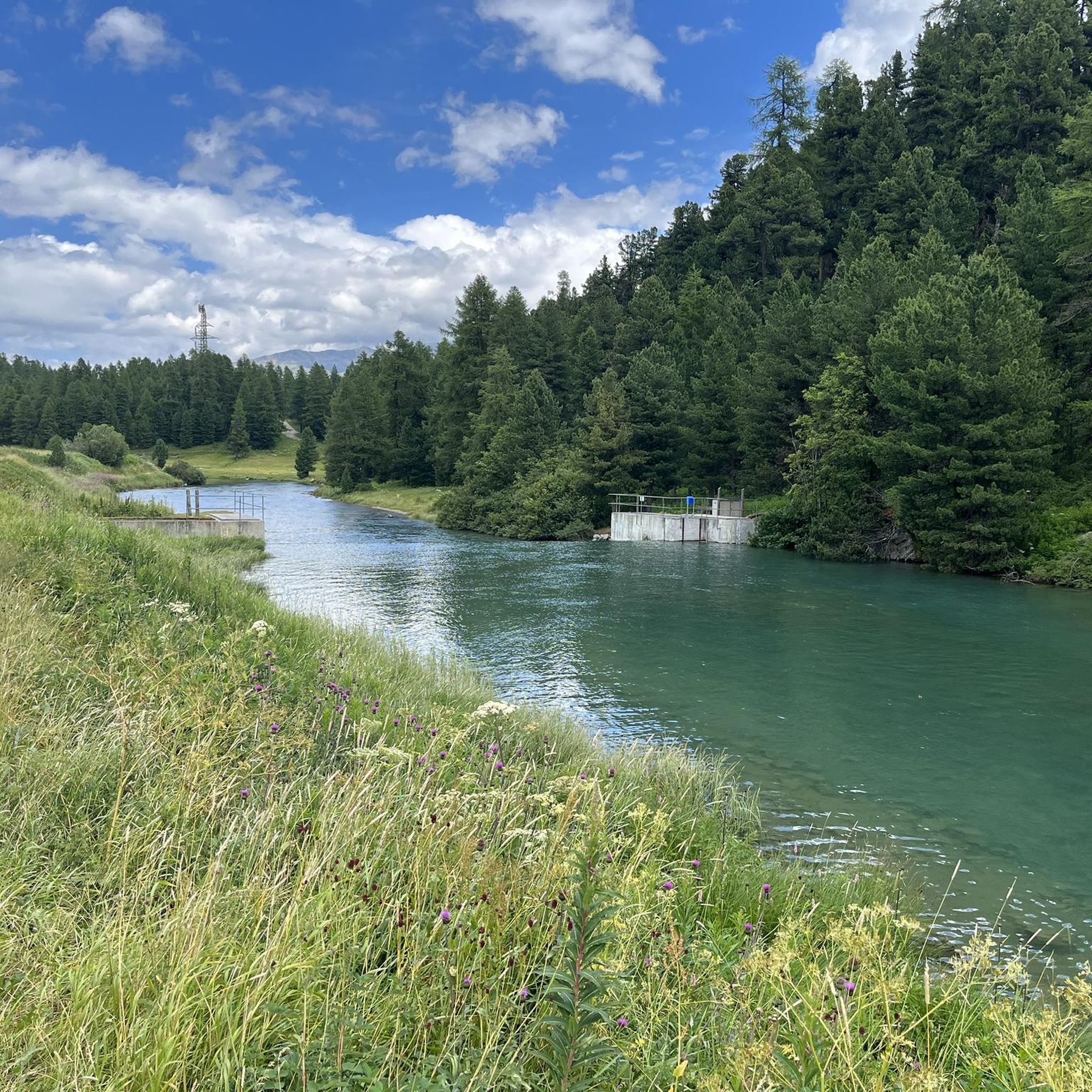
Mountaineering routes around Lej da Champfèr traverse a diverse landscape in the Engadin Valley, characterized by an alpine lake, surrounding peaks, and dense forests. The region features interconnected waterways, including the Inn River, and glacial minerals contribute to the distinctive turquoise hue of the lake. This area offers a wide array of challenging trails with significant elevation gains, catering to various skill levels.
Best mountaineering routes around Lej da Champfèr
- The most popular mountaineering route is View of Lake Silvaplana…
Last updated: June 28, 2026
5.0
(1)
7
hikers
10.7km
03:11
200m
200m
Moderate mountaineering route. Good fitness required. Mostly accessible paths. Sure-footedness required.
5.0
(1)
8
hikers
17.1km
07:09
990m
990m
Hard mountaineering route. Very good fitness required. Mostly accessible paths. Sure-footedness required.

Sign up for free
5.0
(2)
3
hikers
7.41km
02:59
420m
420m
Moderate mountaineering route. Good fitness required. Mostly accessible paths. Sure-footedness required.
5.0
(5)
49
hikers
9.69km
06:51
1,120m
1,120m
Hard mountaineering route. Very good fitness required. Sure-footedness, sturdy shoes and alpine experience required.
8
hikers
15.9km
06:22
970m
970m
Hard mountaineering route. Very good fitness required. Mostly accessible paths. Sure-footedness required.
Get access to more routes and recommendations from other explorers.
Sign up for free
Already have an account?
Our route recommendations are based on thousands of hikes, rides, and runs completed by other people on komoot.
Start today with a free account
Your next adventure awaits.
Login or Signup

Tips from the Community

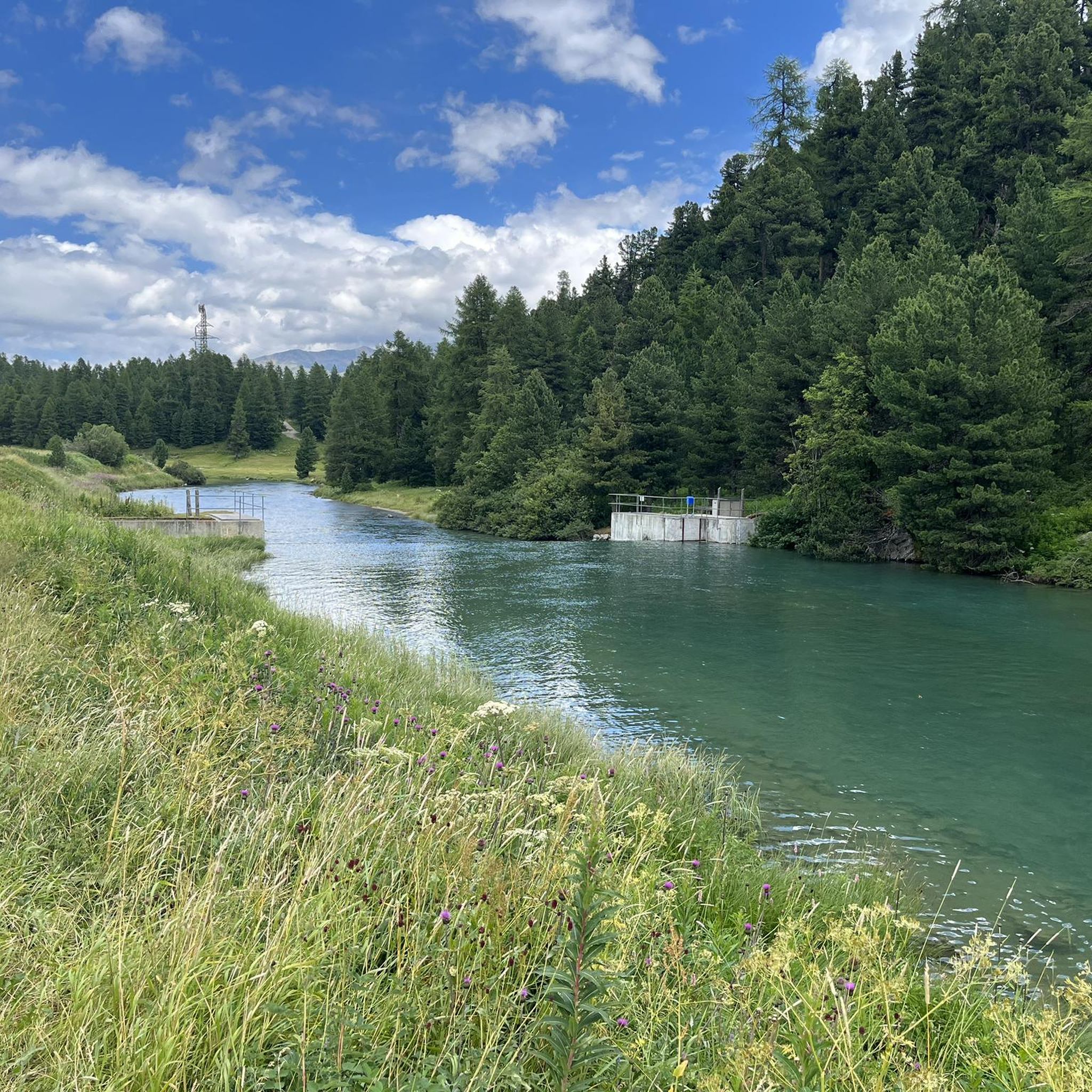
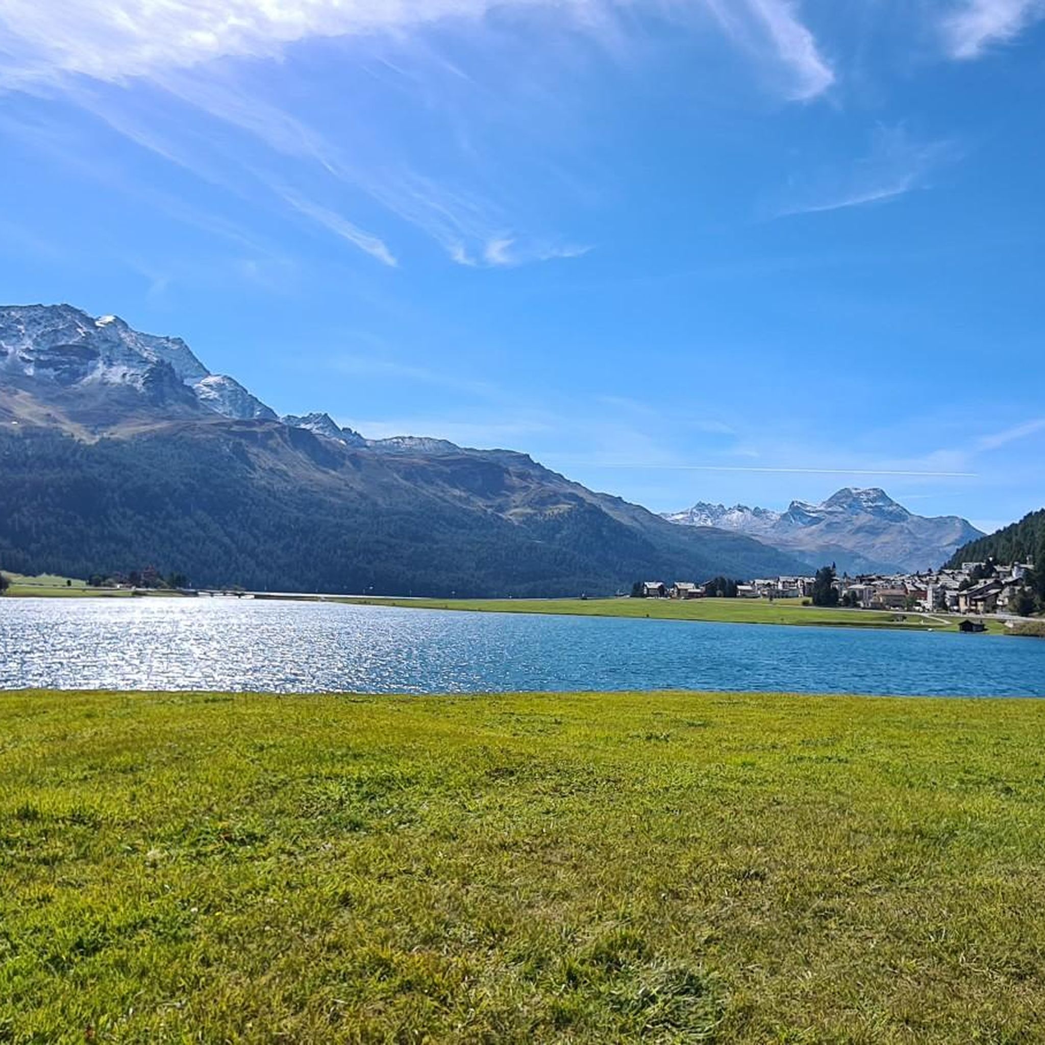
Wonderful lake, popular with water sports enthusiasts, very nice path along the lake on the east bank.
0
0

Scenically very great tour. Top Top Top
0
0
beautiful landscape here, simply unique
0
0

Sils Maria is a historic village in the Engadine, known for its connection to Friedrich Nietzsche and its cultural significance. In the beautiful Engadine village of Sils, at 1802 meters above sea level, everything is a little more intense: the tranquility, the changing seasons, the light, nature – happiness. Vacationers who found St. Moritz too hectic continued on to Sils Maria. That's how it was a hundred years ago; and that's how it still is today. It's palpable at every turn: those who come to Sils want to nourish their souls. And in doing so, they want to experience the warmth of a small village with around 810 inhabitants, where tourism has a long tradition and has been a way of life for over 100 years. Two Hearts, One Soul Sils Maria and Sils Baselgia: Our village has two names because it comprises two settlements. Sils Baselgia grew up around the Church of San Lurench. It was first mentioned in 1356 and still stands today. "Baselgia" is derived from basilica (church). In Sils Maria, the larger of the two villages, the large dairy farm once stood. The name "Maria" refers not to a proper name, but to the term "dairy farm." "Sils" means something like "green meadow" or "long strip of land." This also referred to the Sils lake plain. It is still a "green meadow"—thanks to landscape and nature conservation efforts and the awareness of these values that the people of Sils possess. Text / Source: Sils Information Center "Engadin Tourism AG", Via da Marias 38, Sils/Segl Maria https://www.sils.ch/de/guide/sils-im-engadin/dorfportrait
15
0
Lambrecht Weather Column, Sils A measuring station was put into operation as early as 1863, and the systematic measurement of meteorological parameters began. This makes the Sils weather series one of the longest in the entire Alpine region and highly valuable for observing climate change. The stations were located at various points throughout the village. Text / Source: Sils Tourism (Back Office), Via da Marias 93, Sils / Segl Maria https://www.sils.ch/de/guide/sils-im-engadin/sehenswuerdigkeiten/kultur-architektur/lambrecht-wettersaeule
16
0

The German philosopher Friedrich Nietzsche first came to the lake in July 1881 and spent a total of seven summers in Sils Maria until 1888, renting a room on the first floor of the Durisch family's house and working on numerous works, including the second part of Thus Spoke Zarathustra. Here, in what he described as a "blood-related" landscape, he found a place that offered him the opportunity for concentration and peace in a perfect climate. He named the landscape around the lake "Perla perlissima" ("Pearl of Pearls"). His former residence, now the Nietzsche House, houses a museum where, among other things, original writings, letters, and first editions can be viewed. Source: https://de.wikipedia.org/wiki/Silsersee
3
0
Weather telegraph, a meteorological instrument constructed by Lambrecht in Göttingen, which contains a thermohygroscope and a barometer and allows conclusions to be drawn about the upcoming weather from the position of the two pointers of these instruments. Source: https://de.wikisource.org/wiki/MKL1888:Wettertelegraph
2
0
Frequently Asked Questions
How many mountaineering routes are available around Lej da Champfèr?
There are over 30 mountaineering routes around Lej da Champfèr, offering a diverse range of experiences for different skill levels. The komoot community has explored these trails over 400 times, highlighting their popularity.
What are the typical difficulty levels for mountaineering routes in this region?
The routes around Lej da Champfèr primarily range from moderate to difficult. There are 10 moderate routes and 20 difficult routes available. Challenging options like the Hahnensee – Fuorcla Surlej, 2753m loop from Champfèr require very good fitness and alpine experience, while moderate trails like the Hahnensee loop from Sankt Moritz offer a less strenuous, yet rewarding experience.
Are there any family-friendly mountaineering options around Lej da Champfèr?
While many routes are moderate to difficult, some of the moderate trails can be suitable for families with older children who have some hiking experience and good fitness. For instance, the View of Lake Silvaplana – Lake Silvaplana loop from Silvaplana is a moderate route that offers beautiful views without extreme elevation gains.
What kind of natural features and landmarks can I expect to see along the routes?
The region is rich in natural beauty, featuring the serene turquoise waters of Lej da Champfèr and Lake Silvaplana, dense forests, and majestic surrounding peaks like Piz Corvatsch. You might also encounter historical points of interest such as the Crap da Sass Castle, or enjoy stunning vistas from viewpoints like View of Champfèr and Piz Nair.
Are there any circular mountaineering routes available?
Yes, many of the mountaineering routes around Lej da Champfèr are designed as loops, allowing you to start and end in the same location. Examples include the challenging Fuorcla Albana (2870 m) – Piz Julier Summit loop from Chamanna dal Stradin and the scenic View of Val Fex loop from Seglias.
What is the best time of year for mountaineering in the Lej da Champfèr area?
The summer months are ideal for mountaineering around Lej da Champfèr, offering pleasant weather and clear trails. The region's diverse landscapes are particularly striking during this time, with the lakes reflecting the surrounding peaks. While winter offers opportunities for snow activities, dedicated mountaineering typically occurs in the warmer seasons.
What are the typical durations for mountaineering routes in this area?
Route durations vary significantly based on difficulty and distance. Moderate routes, such as the View of Lake Silvaplana – Lake Silvaplana loop from Silvaplana, can take around 3 hours. More challenging routes, like the Hahnensee – Fuorcla Surlej, 2753m loop from Champfèr, can extend to 7 hours or more, requiring good stamina and preparation.
What do other mountaineers enjoy most about the routes around Lej da Champfèr?
The area is highly rated by the komoot community, with an average score of 5.0 stars from over 30 reviews. Mountaineers often praise the stunning alpine scenery, the diverse terrain ranging from lakeside paths to high mountain passes, and the well-maintained trails that offer both challenging ascents and rewarding views.
Are there options for parking or public transport access to the trailheads?
The villages surrounding Lej da Champfèr, such as Champfèr, Silvaplana, and St. Moritz, serve as excellent starting points for many routes. These villages typically offer parking facilities and are well-connected by public transport, making it convenient to access various trailheads.
What makes the landscape around Lej da Champfèr unique for mountaineering?
The region's unique appeal lies in its combination of serene alpine lakes, like Lej da Champfèr itself, and the dramatic backdrop of the Engadin Valley's peaks. The distinctive turquoise hue of the water, influenced by glacial minerals, and the interconnected waterways, including the Inn River, create a visually stunning and varied environment for mountaineering.
Are there any nearby villages or amenities for mountaineers?
Yes, the nearby villages of Champfèr, Silvaplana, and St. Moritz offer a range of amenities. You'll find cafes, restaurants, and accommodation options in these areas, providing convenient places to refuel and relax before or after your mountaineering adventures.
Most popular routes around Lej da Champfèr
Most popular attractions around Lej da Champfèr

Get inspired with the komoot mobile app


Explore more
Browse the best Mountain Hikes & Routes in other regions.
