The best walks and hikes around Lej da Champfèr
4.7
(3799)
35,454
hikers
547
hikes
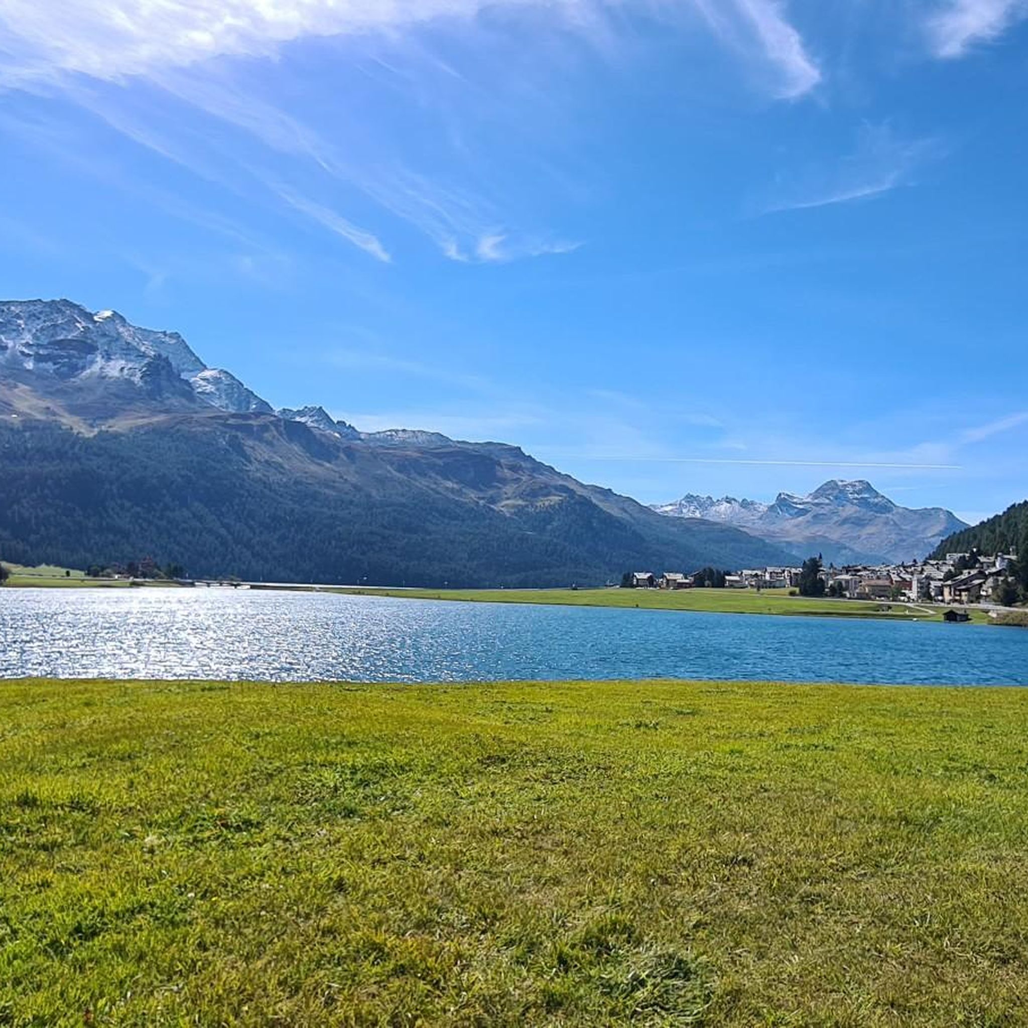
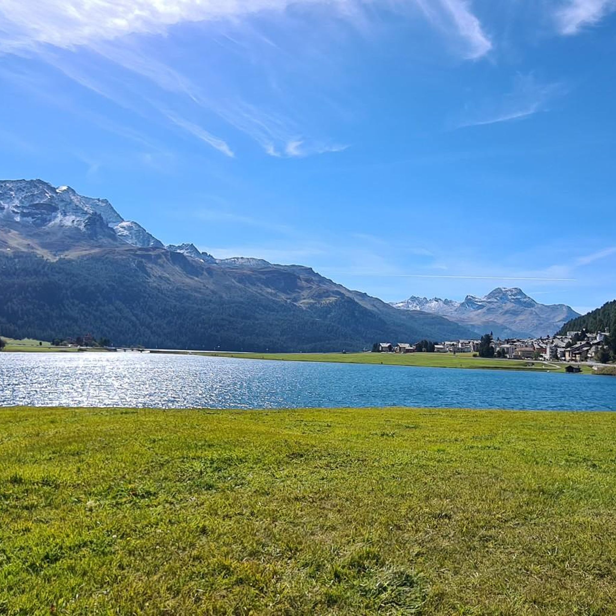
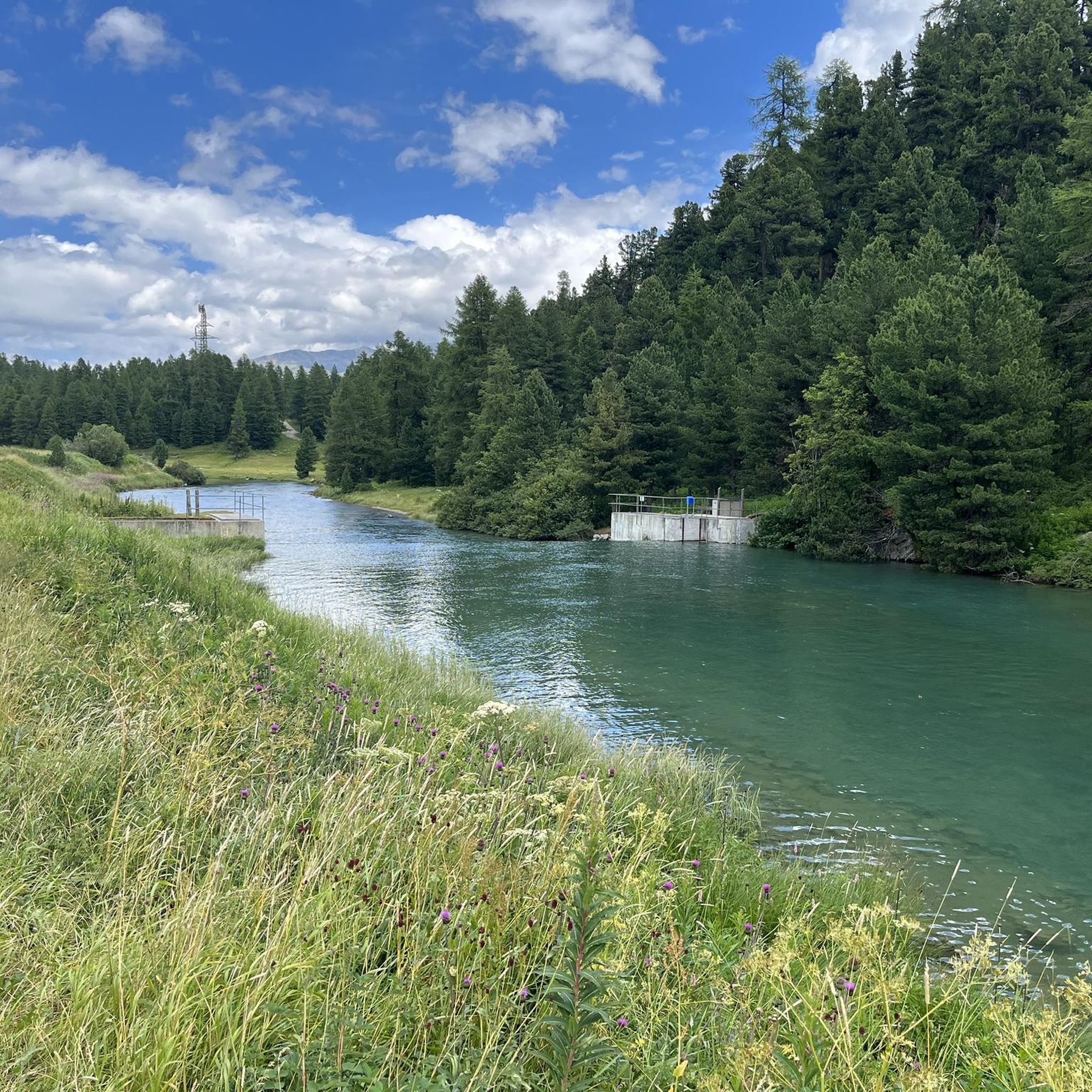
Hiking around Lej da Champfèr offers diverse terrain within the Engadin Valley, characterized by its serene alpine lake and surrounding peaks. The region features dense forests, open vistas, and interconnected waterways, including Lake Silvaplana and the Inn River. Trails range from paths along the calm, turquoise waters to ascents into the mountains. The landscape provides varied elevation changes and natural features for hikers.
Best hiking trails around Lej da Champfèr
- The most popular hiking route is Lake Silvaplana – Lej de la Tscheppa loop from Silvaplana, a 7.6 miles (12.3 km) trail that takes 6 hours 15 minutes to complete. This difficult route features significant elevation gain and alpine scenery.
- Another top favourite among local hikers is Crap da Sass Castle – Lakeside trail at Silvaplanersee loop from Silvaplana, a moderate 5.8 miles (9.4 km) path. This trail offers views of the lake and the historic Crap da Sass Castle.
- Local hikers also love the View of Crap da Sass Castle – Lake Silvaplana loop from Silvaplana, a 2.8 miles (4.5 km) trail leading through lakeside paths, often completed in about 1 hour 11 minutes.
- Hiking around Lej da Champfèr is defined by serene alpine lakes, dense forests, and surrounding mountain peaks. The network offers options for different ability levels, from easy lakeside walks to demanding alpine ascents.
- The routes in Lej da Champfèr are highly rated by the komoot community with an average score of 4.7 stars from over 3,200 reviews. More than 32,000 hikers have used komoot to explore Lej da Champfèr's varied terrain.
Last updated: October 7, 2026
4.8
(56)
552
hikers
12.9km
06:25
880m
880m
Hard hike. Very good fitness required. Sure-footedness, sturdy shoes and alpine experience required.
4.7
(21)
229
hikers
Moderate hike. Good fitness required. Easily-accessible paths. Suitable for all skill levels.

5.0
(3)
66
hikers
15.8km
05:53
970m
970m
Hard hike. Very good fitness required. Mostly accessible paths. Sure-footedness required.
4.8
(5)
35
hikers
7.31km
02:40
350m
350m
Moderate hike. Good fitness required. Mostly accessible paths. Sure-footedness required.
5.0
(2)
40
hikers
Easy hike. Great for any fitness level. Easily-accessible paths. Suitable for all skill levels.
Get access to more routes and recommendations from other explorers.
Already have an account?
Our route recommendations are based on thousands of hikes, rides, and runs completed by other people on komoot.
Start today with a free account
Your next adventure awaits.

Tips from the Community

Imposing castle in private ownership.
0
0

Beautiful lake with a nice cycle path
0
0

Rolls well....is fun...
0
0

Here you can find the best Kaiserschmarrn in the Engadin. OÖ Koch.
0
0
Silvaplanersee is an ideal windsurfing and kiteboarding area with a reliable Maloja wind in good weather. With strong day/night temperature differences, the rocks before the Maloja Pass in Bergell heat up and the wind pulls down the Inn Valley. This effect can be intensified by an approaching bad weather front -> then things really get going. With north wind (Bise) or Julier wind, however, the wind is weak. An ideal starting point for surfing is the Silvaplana campsite at the surf center with a large parking lot.
0
0

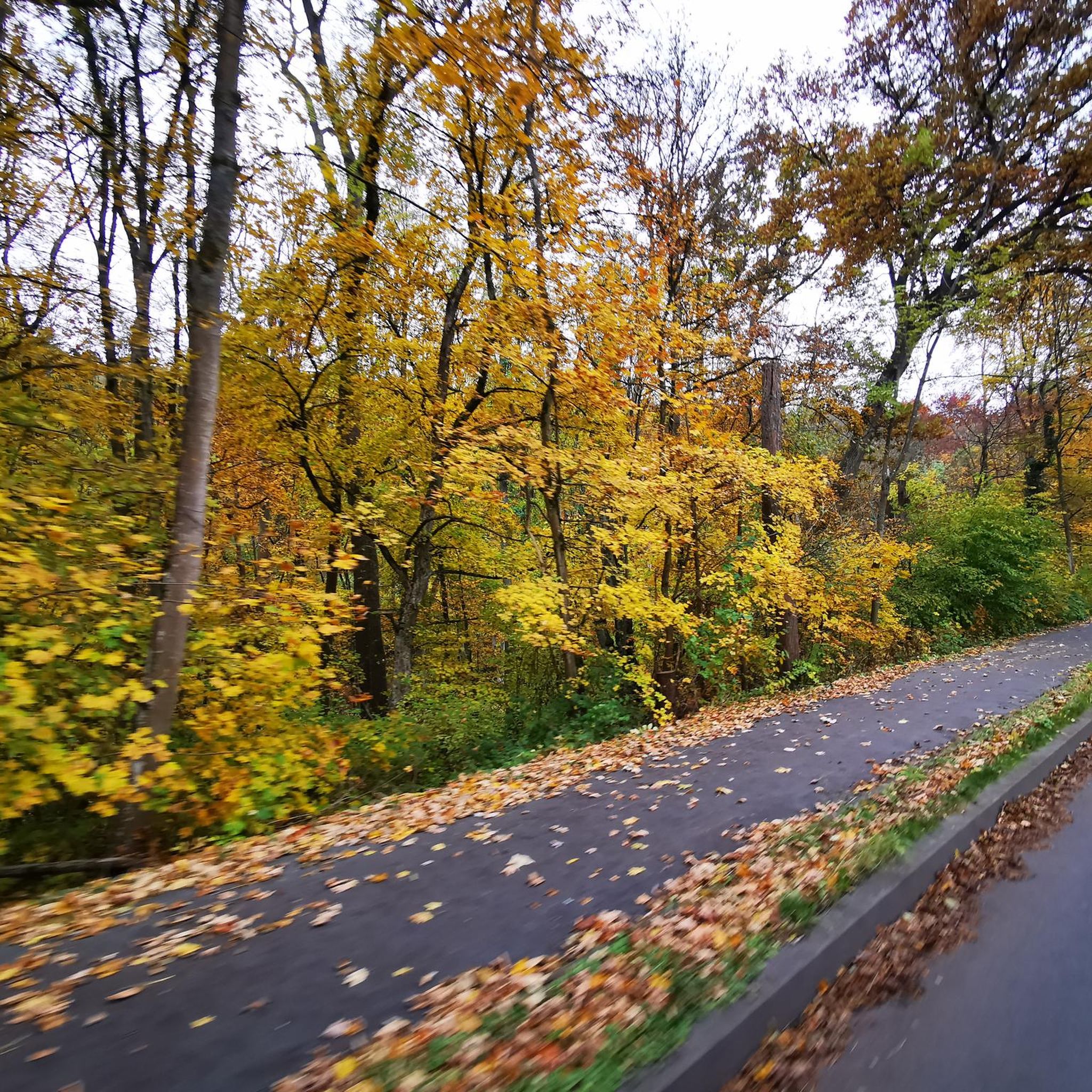
Late Autumn. Paths icy and important to walk with extreme caution
1
0

The owners of the Hahnensee mountain restaurant also rent out this hunting lodge. We might try it next time (with a hot tub 😉
1
0
Frequently Asked Questions
How many hiking trails are available around Lej da Champfèr?
The Lej da Champfèr area offers a wide variety of hiking options, with over 550 trails recorded on komoot. These range from easy lakeside strolls to challenging alpine ascents, catering to all fitness levels.
Are there easy, family-friendly walks around Lej da Champfèr?
Yes, the region is excellent for families and those seeking easy walks. A popular option is a short walk around Lej da Champfèr itself, which takes about 1 hour and 15 minutes. The loop around the lake is a neat 5k on a wide gravel path, offering beautiful water and mountain views. Another accessible path leads to Lej Nair and Lej Marsch, which are known for their barbecue spots and shallow waters ideal for children. You can also explore the View of Crap da Sass Castle – Lake Silvaplana loop from Silvaplana, an easy 4.5 km trail.
What are some highlights or attractions to see along the hiking trails?
Hikers can discover several points of interest. The historic Crap da Sass Castle is featured in various routes, adding a cultural element. You can also visit Buocha d'Sẹla, a serene lake, or enjoy the View of Champfèr and Piz Nair from a scenic viewpoint. The View of Crap da Sass Castle – Ova dal Sagl Waterfall loop from Silvaplana offers a chance to see a waterfall.
Are there any circular walks around Lej da Champfèr?
Absolutely. Many trails in the area are circular, allowing you to start and end at the same point. The loop around Lej da Champfèr itself is a popular circular option. For a moderate circular hike, consider the Crap da Sass Castle – Lakeside trail at Silvaplanersee loop from Silvaplana. For more challenging circular routes, the Lake Silvaplana – Lej de la Tscheppa loop from Silvaplana is a demanding option.
What do other hikers enjoy most about hiking in Lej da Champfèr?
The area is highly rated by the komoot community, with an average score of 4.7 stars from over 3,200 reviews. Reviewers often praise the stunning natural beauty, the calm, turquoise waters of the lake, and the diverse landscapes that include alpine forests and open vistas. The well-maintained trails and panoramic mountain views are frequently highlighted.
Is Lej da Champfèr accessible by public transport?
While the region is easily accessible by car, public transport options are also available to reach the Engadin Valley. From various points in the valley, local buses can take you to villages like Silvaplana or Surlej, which serve as excellent starting points for hikes around Lej da Champfèr.
Where can I park when hiking around Lej da Champfèr?
Convenient parking is available for hikers. You can find parking at the Surlej Bridge, which is a good starting point for many trails. Alternatively, the Munterots parking garage in Silvaplana offers another accessible option for beginning your excursions.
Are there any opportunities for wild swimming near Lej da Champfèr?
Yes, Lej Marsch, a nearby moor lake, is a popular spot for wild swimming. Its shallow waters warm up quickly in summer, making it ideal for a refreshing dip. It also features a small sandy beach, which is particularly popular with families.
Can I find cafes or places to eat near the hiking trails?
While specific cafes directly on every trail might be limited, the nearby villages of Silvaplana and Surlej offer various dining options. Additionally, the remains of a former restaurant at Crest'Alta, accessible via a forest path, provide a scenic spot to rest and enjoy views, though it's not a functioning cafe.
What is the best time of year to hike around Lej da Champfèr?
The Engadin Valley, including Lej da Champfèr, is beautiful throughout the year. Summer and early autumn (June to October) are ideal for hiking, offering pleasant temperatures and vibrant scenery. The calm, turquoise waters of the lake beautifully reflect the surrounding peaks during these months. Winter also offers opportunities for snowshoeing and winter hiking, transforming the landscape into a serene wonderland.
Are there any challenging hikes for experienced trekkers?
Yes, for experienced hikers, the region offers demanding alpine tours. Routes like the Fuorcla Surlej Mountain Hut – Fuorcla Surlej loop from Silvaplana require very good fitness and alpine experience. These trails often feature significant elevation gain and offer breathtaking panoramic views of the surrounding mountains and lakes.
Most popular routes around Lej da Champfèr
Most popular attractions around Lej da Champfèr

Get inspired with the komoot mobile app


Explore more
Browse the best Hikes in other regions.
