The best cycling routes around Lake dei Cavagnöö
4.5
(4)
262
riders
7
rides
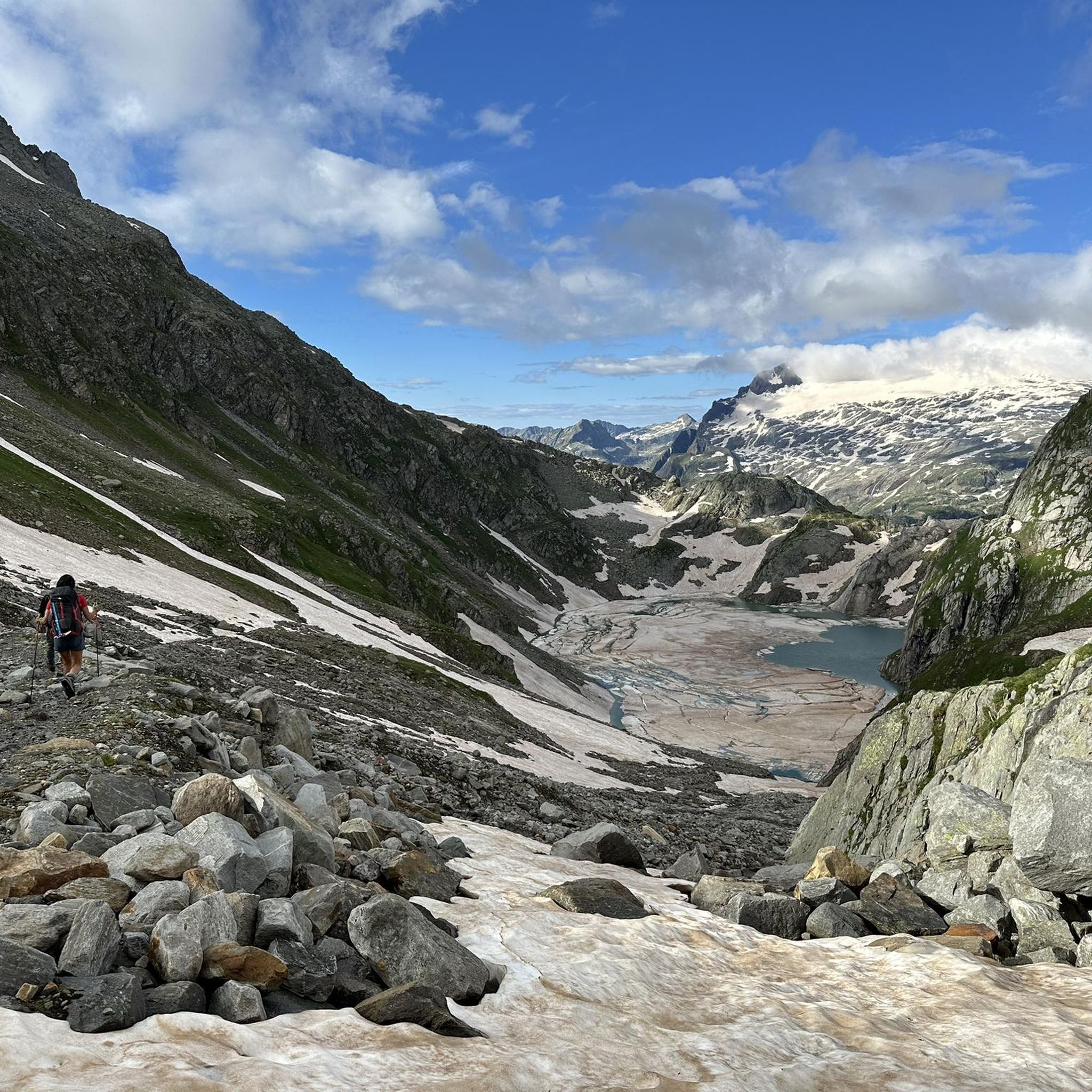
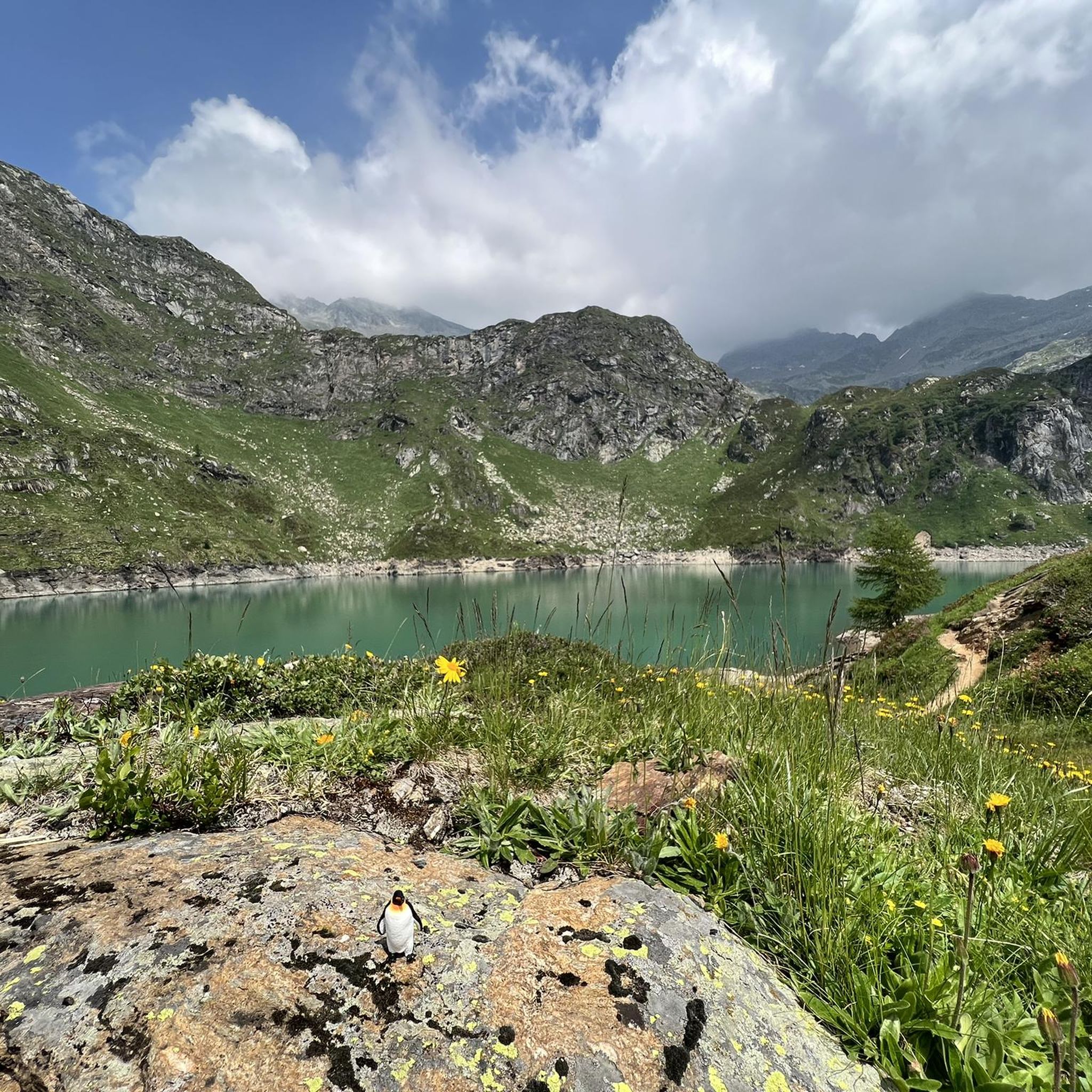
Touring cycling around Lake dei Cavagnöö is characterized by a high-alpine environment, situated at an elevation of 2,310 meters above sea level in the Ticino canton of Switzerland. The immediate vicinity of the lake features rugged terrain, granite cliffs, and numerous alpine lakes, including Lago di Robièi, Lago Bianco, and Lago Nero. While direct touring cycling to Lake dei Cavagnöö is challenging due to its altitude and terrain, the broader Vallemaggia region offers more accessible routes. The landscape is influenced…
Last updated: July 11, 2026
43
riders
24.4km
01:42
480m
480m
Hard bike ride. Very good fitness required. Mostly paved surfaces. Suitable for all skill levels.
3.0
(1)
25
riders
23.8km
02:07
940m
940m
Hard bike ride. Very good fitness required. Mostly paved surfaces. Suitable for all skill levels.

Sign up for free
36
riders
10.9km
01:22
450m
450m
Moderate bike ride. Good fitness required. Mostly paved surfaces. Suitable for all skill levels.
38
riders
17.9km
01:56
590m
590m
Cycle the difficult 11.1-mile Riale - San Giacomo Pass Trail, gaining 1946 feet with panoramic alpine views and lake crossings.
39
riders
14.9km
01:41
530m
530m
Hard bike ride. Very good fitness required. Mostly paved surfaces. Suitable for all skill levels.
Get access to more routes and recommendations from other explorers.
Sign up for free
Already have an account?
Our route recommendations are based on thousands of hikes, rides, and runs completed by other people on komoot.
Start today with a free account
Your next adventure awaits.
Login or Signup
Tips from the Community

The Tremola San Gottardo is your accommodation at the foot of the Tremola in Airolo. The house on the old Gotthard Pass road is perfectly located at the beginning of what is probably the most bike-romantic alpine road in Ticino (or Switzerland?). Cycling enthusiasts will find a workshop with small parts and spares, a locked bike storage room, an information point offering maps and bikes for rent, as well as a laundry service for sportswear and a charging station for e-bikes at Bed&Bike. After your bike tour, you can refresh yourself with a drink at the bar or enjoy one of the simple dishes made with local ingredients. More info: https://www.bellinzonaevalli.ch/de/hotels/details/Bed-Bike-Tremola-San-Gottardo/110242.html.
0
0

At 2,478 meters above sea level, the Nufenen Pass (Nufenenpass in German) connects the Goms Valley in the upper Valais with the Bedretto Valley in the upper Ticino. From Airolo, the climb is approximately 22 kilometers (average gradient 5.6%), while from Ulrichen it is shorter but more challenging: 14 kilometers at an average gradient of approximately 7.9%.
0
0

A municipality of about 1,500 inhabitants in the Canton of Ticino, Airolo is located at the foot of the Gotthard Pass. It is well-known among cyclists as the starting point of the famous Tremola panoramic road.
0
0

A few minutes from the Maria Luisa refuge...not to be missed, on a road suitable for vehicles
0
0

the fairytale village 🏘️ of Riale🏔️
1
0
A Bit of Relaxation🌈on Lake Toggia🏞️
1
0

Frequently Asked Questions
What is the general terrain like for touring cycling around Lake dei Cavagnöö?
The immediate vicinity of Lake dei Cavagnöö, situated at 2,310 meters above sea level, is characterized by a high-alpine environment with rugged terrain, granite cliffs, and numerous alpine lakes. While direct touring cycling to the lake itself is very challenging due to its altitude and terrain, the broader Vallemaggia region at lower altitudes offers more accessible routes suitable for touring bicycles.
Are there any easy touring cycling routes in the Lake dei Cavagnöö area?
While most routes directly associated with the high-alpine environment near Lake dei Cavagnöö are challenging, there is one easy touring cycling route available in the broader area. For more accessible options, consider exploring the Vallemaggia region, which offers dedicated cycling paths suitable for various skill levels.
What are some of the more challenging touring cycling routes available?
For experienced touring cyclists seeking a challenge, routes like the Cioss Prato Crystal Cave – Airolo loop from Val Bedretto and the Cioss Prato Crystal Cave – View of Gries Glacier loop from Val Bedretto offer demanding terrain through alpine landscapes. Another difficult option is the Riale - San Giacomo Pass Trail.
Can I take my touring bicycle to Lake dei Cavagnöö using the San Carlo–Robièi cable car?
The San Carlo–Robièi cable car provides access to Robièi at 1,895 meters, offering impressive panoramic views. However, the information available does not explicitly mention bicycle transport on this cable car. Even if bikes could be transported to Robièi, the subsequent 450-meter ascent to Lake dei Cavagnöö is a rugged natural path more suitable for hiking or mountain biking, not conventional touring bicycles.
What natural features and landmarks can I expect to see while cycling in the region?
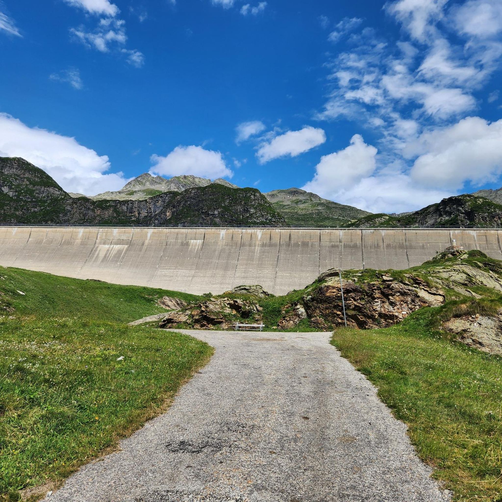
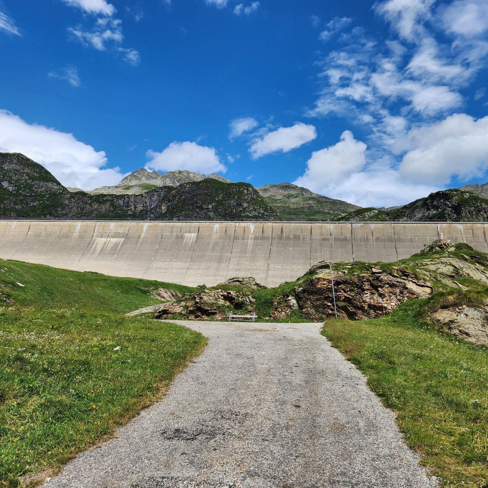
The region is rich in natural beauty. You can expect to see dramatic granite cliffs, cascading waterfalls, and several alpine lakes such as Lago di Robièi, Lago Bianco, and Lago Nero. The Basodino glacier, the largest in Ticino, contributes to the dramatic scenery. The Robièi dam also features a unique nature trail inside its structure.
What do other touring cyclists say about the routes around Lake dei Cavagnöö?
The touring cycling routes in the Lake dei Cavagnöö area are highly rated by the komoot community, with an average score of 4.5 stars. Cyclists often praise the stunning high-alpine scenery and the challenging nature of the routes, which provide a rewarding experience for those seeking adventure.
Are there any circular touring cycling routes in the area?
Yes, there are circular touring cycling routes available. For example, the Riale di Sotto – View of Lago Morasco loop from Riale / Chärbäch is a moderate 11.0 km trail leading through alpine scenery. Another option is the Riale, Val Formazza – Lago di Morasco loop from Canza / Früttwald, which is a longer and more difficult loop.
Is the Vallemaggia region suitable for touring cyclists?
Yes, the broader Vallemaggia region offers dedicated cycling routes that are generally more accessible and less challenging than the immediate vicinity of Lake dei Cavagnöö. The 'Maggia Valley Route,' for instance, is a signposted path suitable for various skill levels, featuring typical villages and untouched nature along the Maggia River.
What kind of wildlife might I encounter while cycling?
The high-alpine environment and surrounding valleys are home to diverse wildlife. You might have the opportunity to observe animals such as ibex, chamois, marmots, and golden eagles, especially in the quieter, more remote sections of the routes.
Are there options for parking or public transport to access the cycling routes?
For accessing the high-alpine areas, the San Carlo–Robièi cable car is a key public transport link. For routes in the broader Vallemaggia, public transport options are available to reach starting points. Parking facilities are typically found in villages and at cable car stations, though specific details for each route should be checked individually.
What is the best time of year to go touring cycling in this region?
Given the high-alpine nature of the area, the best time for touring cycling is generally during the warmer months, typically from late spring to early autumn, when snow has melted and mountain passes are clear. Always check local weather and trail conditions before planning your trip, as conditions can change rapidly at high altitudes.
Are there any family-friendly touring cycling routes?
While the routes directly around Lake dei Cavagnöö are mostly difficult, the broader Vallemaggia region offers more gentle and family-friendly cycling paths. These routes often follow the valley floor, providing a more relaxed experience suitable for families with children or those seeking an easier ride.
Most popular routes around Lake dei Cavagnöö

Get inspired with the komoot mobile app


Explore more
Browse the best Cycling routes in other regions.
