The best walks and hikes around Lake dei Cavagnöö
4.7
(1529)
10,250
hikers
117
hikes
Hiking around Lake dei Cavagnöö offers access to a high-alpine environment characterized by glacial country and a series of pristine mountain lakes, including Lago di Robièi, Lago Bianco, and Lago del Zött. The region features steep peaks of the Ticinese Alps, such as Pizzo Cavagnöö, providing panoramic views. Trails traverse varied terrain, including mountain meadows, the Valle di Lielpe, and the Randinascia Plateau.
Best hiking trails around Lake dei Cavagnöö
- The most popular hiking route is From Robiei to Bocchetta…
Last updated: October 1, 2026
4.8
(4)
29
hikers
9.38km
04:45
690m
690m
Alpine trail through glacier country to a remote Swiss-Italian border pass with pristine lakes.
7
hikers
9.09km
04:30
680m
680m
Cross-border alpine trek through glacial plateaus, past ibex herds to jewel-like Walser lakes.

4.6
(18)
72
hikers
6.59km
02:46
380m
380m
Moderate hike. Good fitness required. Mostly accessible paths. Sure-footedness required.
4.6
(5)
49
hikers
6.16km
01:53
210m
210m
Easy hike. Great for any fitness level. Easily-accessible paths. Suitable for all skill levels.
5.0
(5)
14
hikers
6.86km
02:57
530m
540m
Hard hike. Good fitness required. Sure-footedness, sturdy shoes and alpine experience required.
Get access to more routes and recommendations from other explorers.
Already have an account?
Our route recommendations are based on thousands of hikes, rides, and runs completed by other people on komoot.
Start today with a free account
Your next adventure awaits.
Tips from the Community

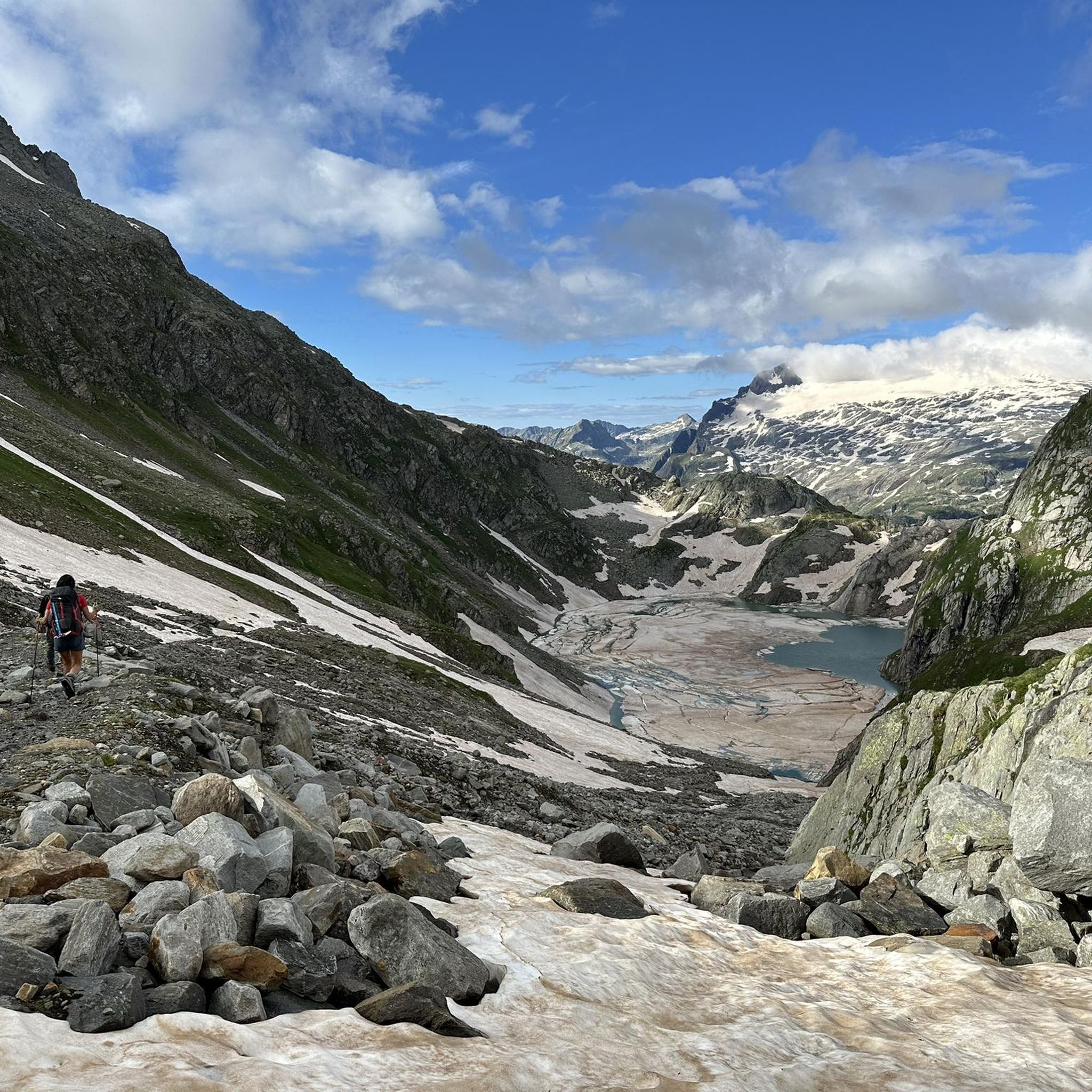
The transition between Switzerland and Italy is at 2,634 meters and offers beautiful views in both directions. From Robiei it can be reached via two mountain hiking trails, T2 or T3.
1
0


Coming up from the Boden lakes the path on the rocks is not always visible
0
0

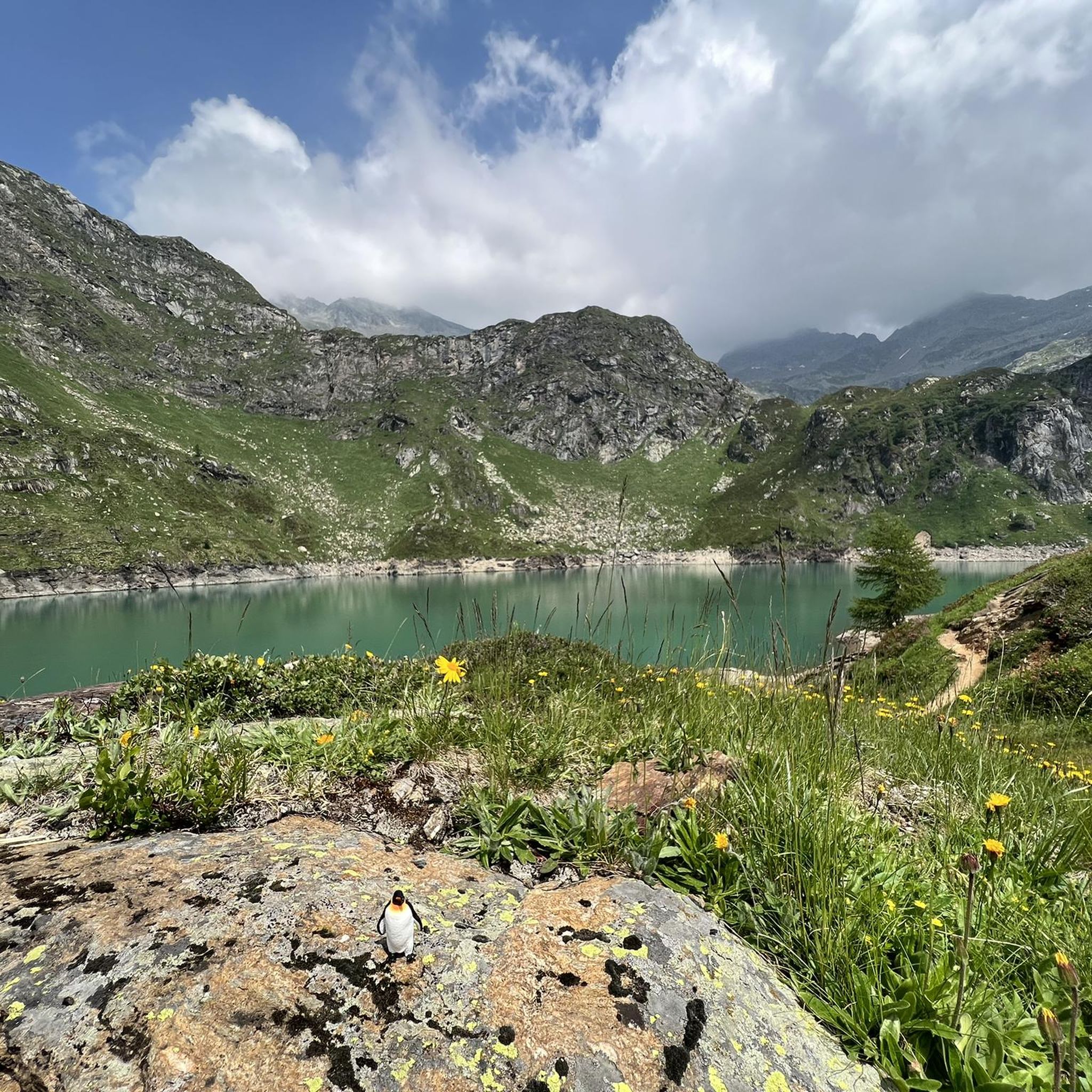
A great hiking area with several reservoirs and the glacier
0
0

Great viewpoint of the lake with a challenging ascent/descent.
0
2

depending on the amount of glacier runoff, difficult or impossible to pass
0
0

Nice view on both sides... up here the wind whistles quite violently
1
1

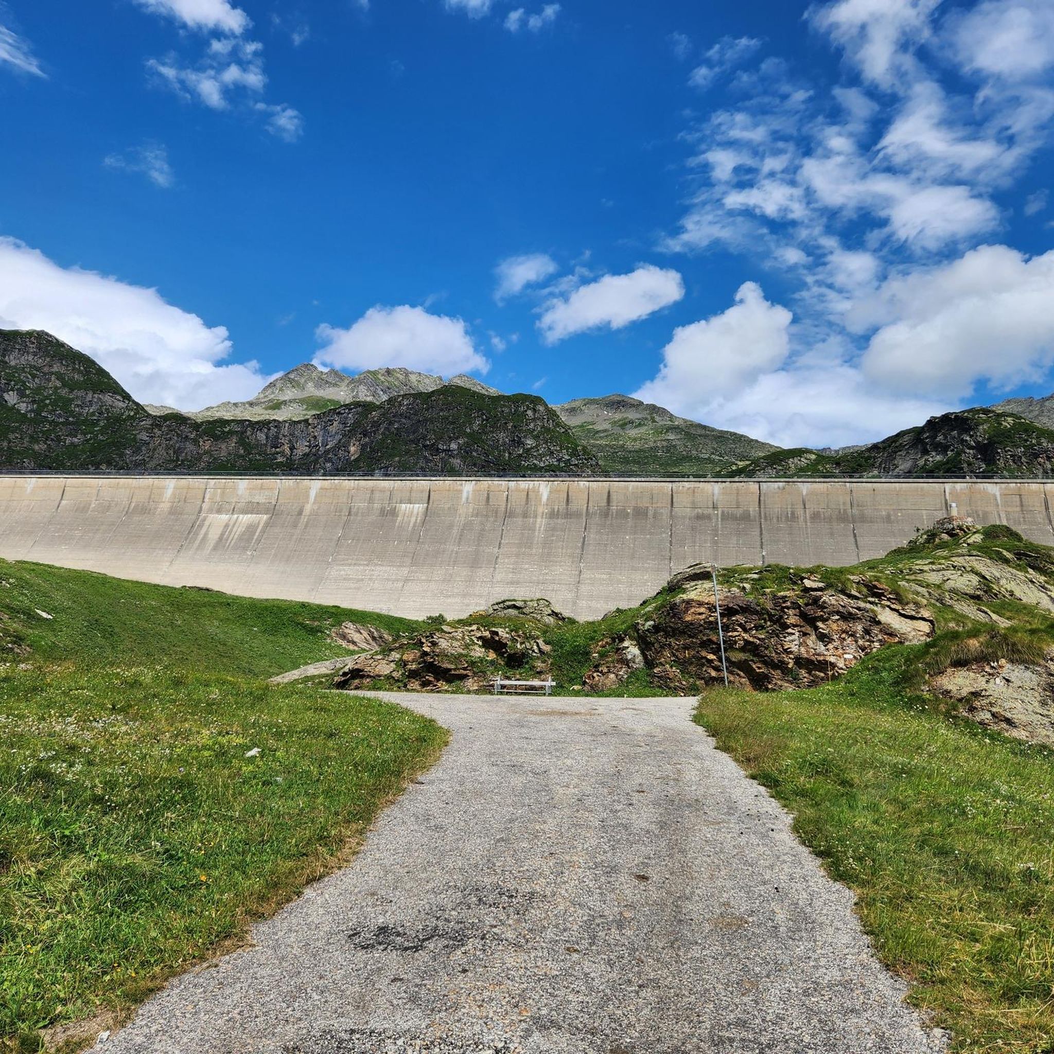
The quickest way to reach Lago di Robiei is by taking the cable car from San Carlo (962 metres) to the Robiei mountain station (1,895 metres). The dam wall of the 24-hectare lake juts out behind the Albergo and Ristorante Robiei. This can be explored on a simple and recommendable circular route in the midst of the high alpine landscape.
1
0
Frequently Asked Questions
How many hiking trails are available around Lake dei Cavagnöö?
The Lake dei Cavagnöö region offers a wide variety of hiking opportunities, with over 120 routes listed on komoot. These include 18 easy, 49 moderate, and 55 difficult trails, catering to diverse preferences and skill levels.
What kind of terrain and landscapes can I expect on hikes around Lake dei Cavagnöö?
You can expect a high-alpine environment featuring impressive glacier country and pristine mountain lakes like Lago di Robièi, Lago Bianco, and Lago del Zött. Trails traverse varied terrain, including idyllic mountain meadows, the Valle di Lielpe, and the Randinascia Plateau, with spectacular vistas of peaks such as Pizzo Cavagnöö.
What do other hikers enjoy most about the trails in Lake dei Cavagnöö?
The area is highly rated by the komoot community, with an average score of 4.7 stars from over 1300 reviews. Hikers frequently praise the stunning alpine scenery, the variety of pristine lakes, and the breathtaking panoramic views of the Ticinese Alps.
Are there any family-friendly hiking options around Lake dei Cavagnöö?
Yes, there are several easier routes suitable for families. For example, the Lago di Robièi – Lago Bianco loop from Lago dei Cavagnöö is an easy 4.1-mile trail that takes about 2 hours to complete, offering beautiful alpine lake scenery.
Are dogs allowed on the hiking trails around Lake dei Cavagnöö?
Generally, dogs are welcome on hiking trails in the Lake dei Cavagnöö region. However, it's always recommended to keep them on a leash, especially in alpine areas where you might encounter livestock or protected wildlife. Always carry water for your dog and be mindful of other hikers.
What are some notable natural features or landmarks to look out for?
Beyond Lake dei Cavagnöö itself, the area is rich with natural beauty. You can explore other stunning alpine lakes such as Lago di Robièi, Lago Bianco, Lago del Zött, Lago Nero, and Lago Sfundau. The impressive Cavagnoli Dam at Lake dei Cavagnöö is also a significant landmark, and you'll be treated to views of the Basodino Glacier and peaks like Pizzo Cavagnöö.
How can I access the hiking trails around Lake dei Cavagnöö?
While situated in a high-alpine region, the area is accessible by cable car from San Carlo to Robiei. This significantly shortens the ascent to the starting points of many trails, making the high-altitude environment more approachable for hikers.
Are there any circular walks available in the area?
Yes, the region offers several circular routes. A popular option is the Lago del Zött – Robiei loop from Lago dei Cavagnöö, a moderate 4.1-mile trail that leads through alpine lake scenery and typically takes about 2 hours 45 minutes.
What is the best time of year to hike around Lake dei Cavagnöö?
The best time to hike around Lake dei Cavagnöö is typically during the summer months, from late June to September, when the alpine trails are mostly free of snow and the weather is generally stable. This period offers the best conditions to enjoy the pristine lakes and panoramic mountain views.
Are there any challenging multi-day treks or cross-border routes?
Yes, for experienced hikers, there are more demanding alpine trails, including multi-lake treks and cross-border routes. The Cross-border alpine trek from Robiei to Rifugio Maria Luisa is a moderate 5.6-mile path that offers a unique cross-border experience with views of alpine lakes and peaks.
Where can I find the most expansive views of the Randinascia Plateau?
For expansive views across the Randinascia Plateau, consider the From Robiei to Bocchetta di Val Maggia via Randinascia Plateau route. This difficult 5.8-mile trail takes approximately 4 hours 45 minutes to complete and offers breathtaking vistas.
Are there any easy routes for beginners or those looking for a shorter walk?
Yes, there are 18 easy routes in the area. An example is the Lago di Robièi – Lago Bianco loop from Lago dei Cavagnöö, which is 4.1 miles long and takes around 2 hours, perfect for a less strenuous outing.
Most popular routes around Lake dei Cavagnöö

Get inspired with the komoot mobile app


Explore more
Browse the best Hikes in other regions.
