The best mountain hikes around Lake del Sambuco
5.0
(2)
24
hikers
3
hikes
Mountaineering routes Lake del Sambuco are situated in the Maggia Valley, within Ticino, Switzerland, at an altitude of 1,460 meters. The region is characterized by the artificial Lake del Sambuco, formed by the Sambuco dam, and surrounded by the rugged terrain of the Lepontine Alps. This area offers diverse mountaineering opportunities, including dedicated climbing routes on the dam itself and trails leading to other alpine lakes such as Lago del Naret and Lago del Corbo. The landscape features imposing dam…
Last updated: May 15, 2026
5
hikers
14.9km
06:39
800m
800m
Hard mountaineering route. Very good fitness required. Sure-footedness, sturdy shoes and alpine experience required.
5.0
(1)
3
hikers
7.29km
02:35
430m
430m
Moderate mountaineering route. Good fitness required. Easily-accessible paths. Suitable for all skill levels.

Sign up for free
7
hikers
8.28km
03:29
480m
490m
Hard mountaineering route. Good fitness required. Sure-footedness, sturdy shoes and alpine experience required.
5.0
(1)
9
hikers
11.7km
05:04
750m
750m
Hard mountaineering route. Very good fitness required. Sure-footedness, sturdy shoes and alpine experience required.
Our route recommendations are based on thousands of hikes, rides, and runs completed by other people on komoot.
Start today with a free account
Your next adventure awaits.
Login or Signup
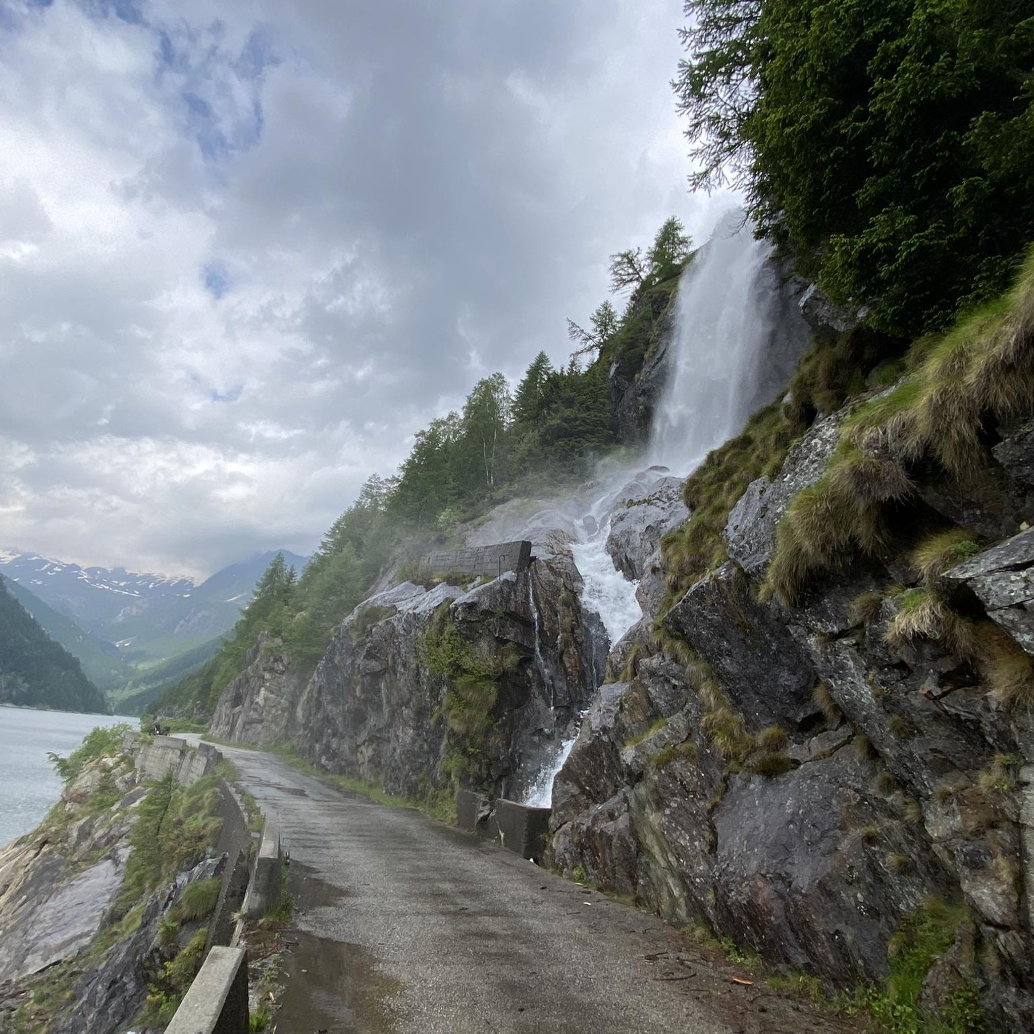
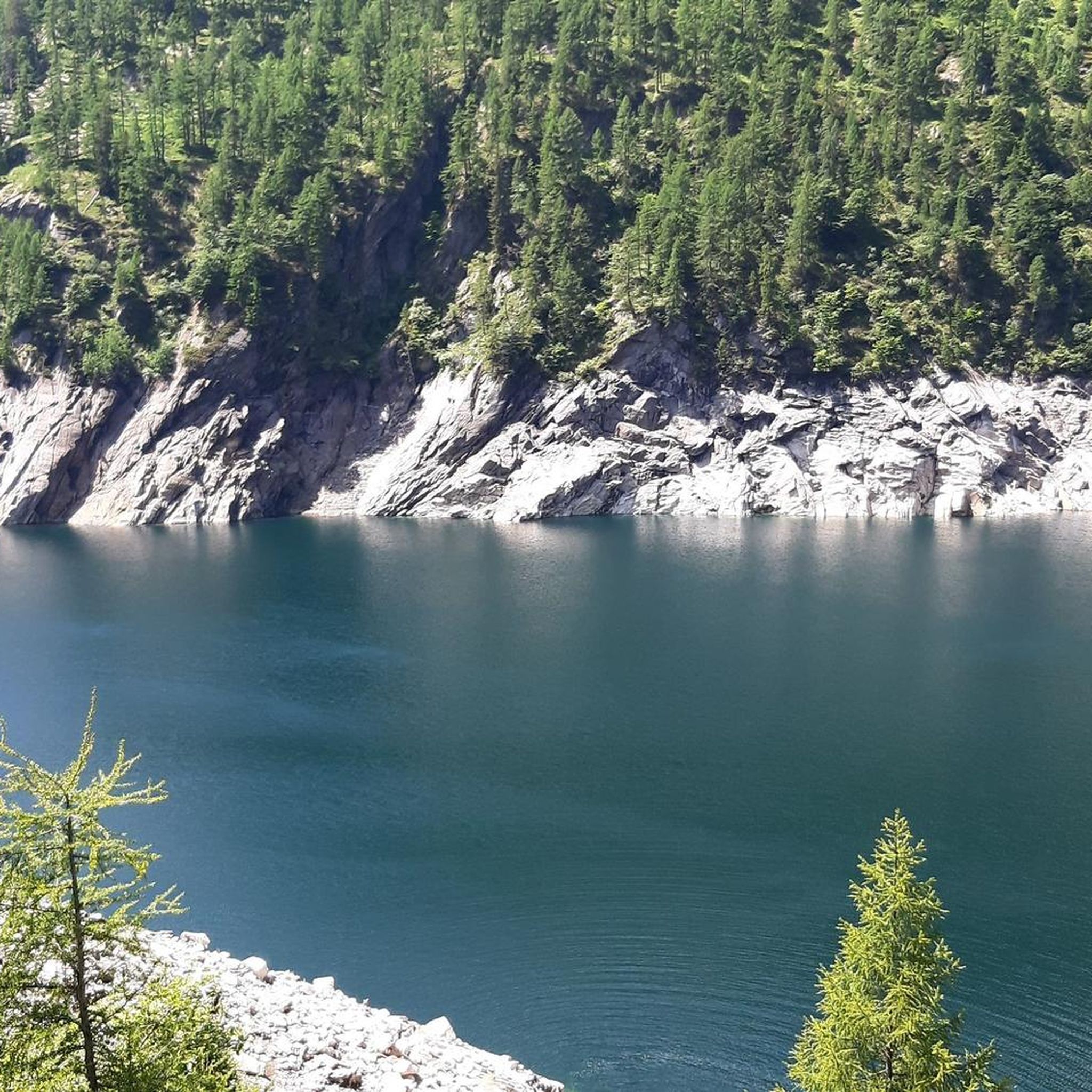
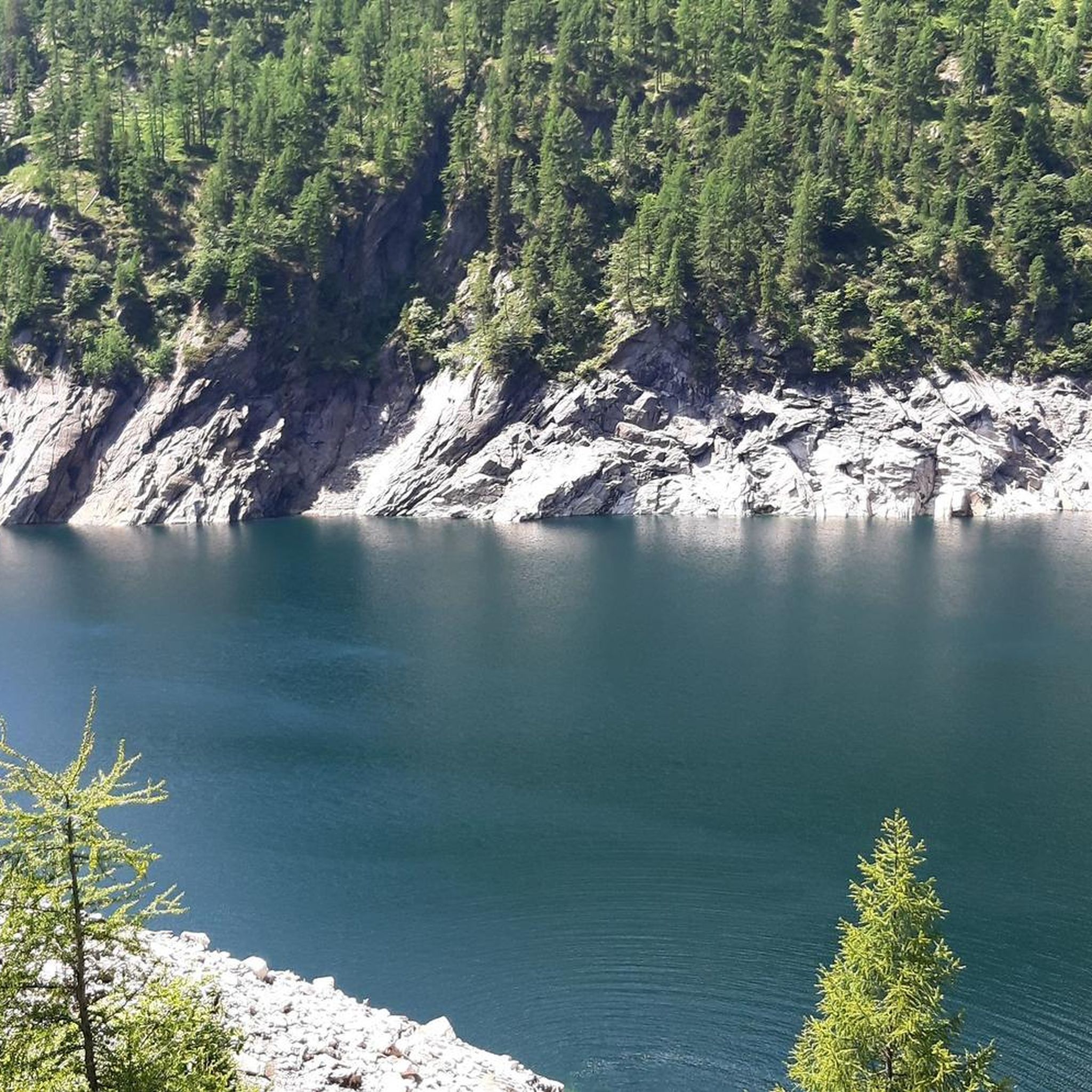
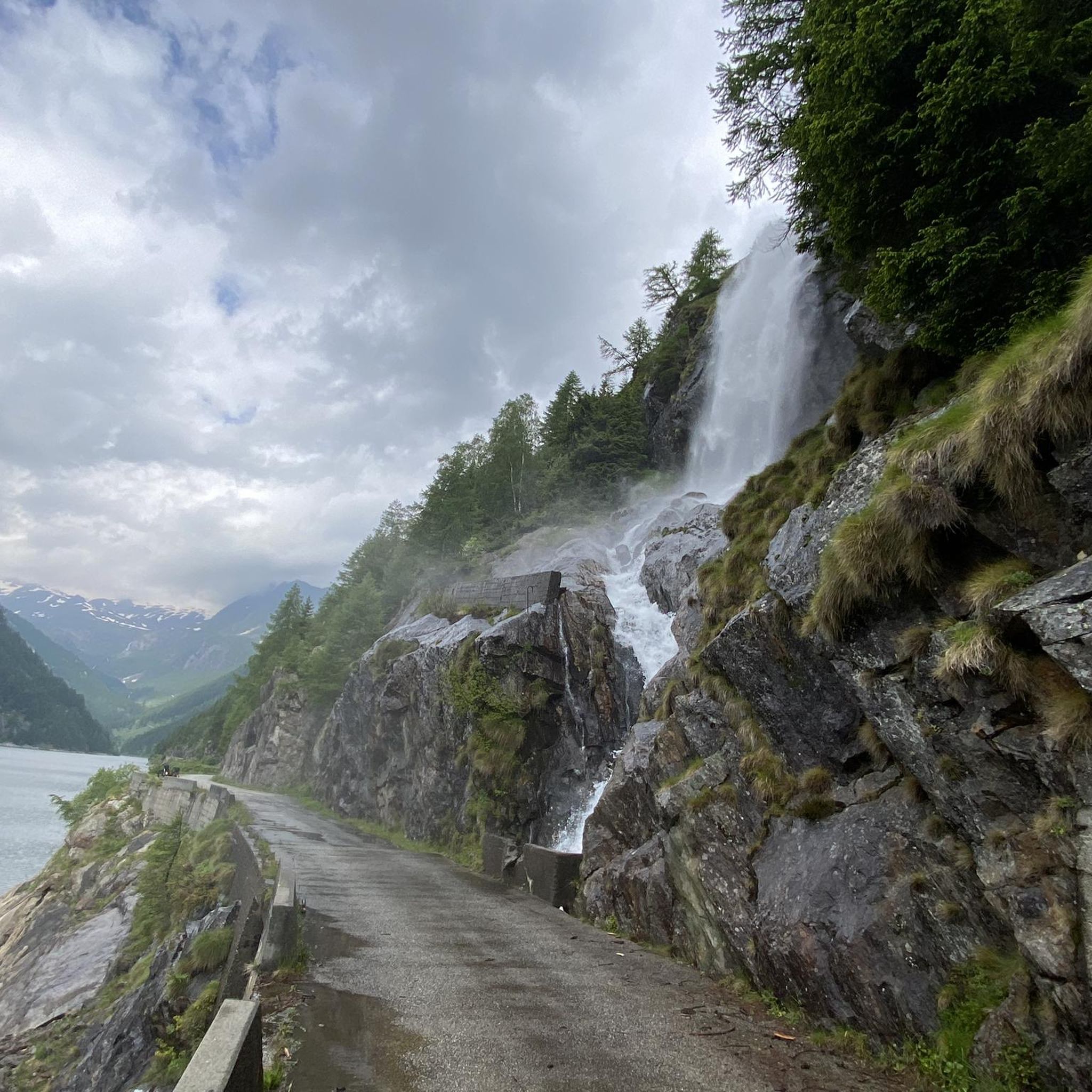
Tips from the Community

beautiful valley for spending time outdoors
0
0
beautiful valley to spend time outdoors
0
0

The Tremola San Gottardo is your accommodation at the foot of the Tremola in Airolo. The house on the old Gotthard Pass road is perfectly located at the beginning of what is probably the most bike-romantic alpine road in Ticino (or Switzerland?). Cycling enthusiasts will find a workshop with small parts and spares, a locked bike storage room, an information point offering maps and bikes for rent, as well as a laundry service for sportswear and a charging station for e-bikes at Bed&Bike. After your bike tour, you can refresh yourself with a drink at the bar or enjoy one of the simple dishes made with local ingredients. More info: https://www.bellinzonaevalli.ch/de/hotels/details/Bed-Bike-Tremola-San-Gottardo/110242.html.
0
0

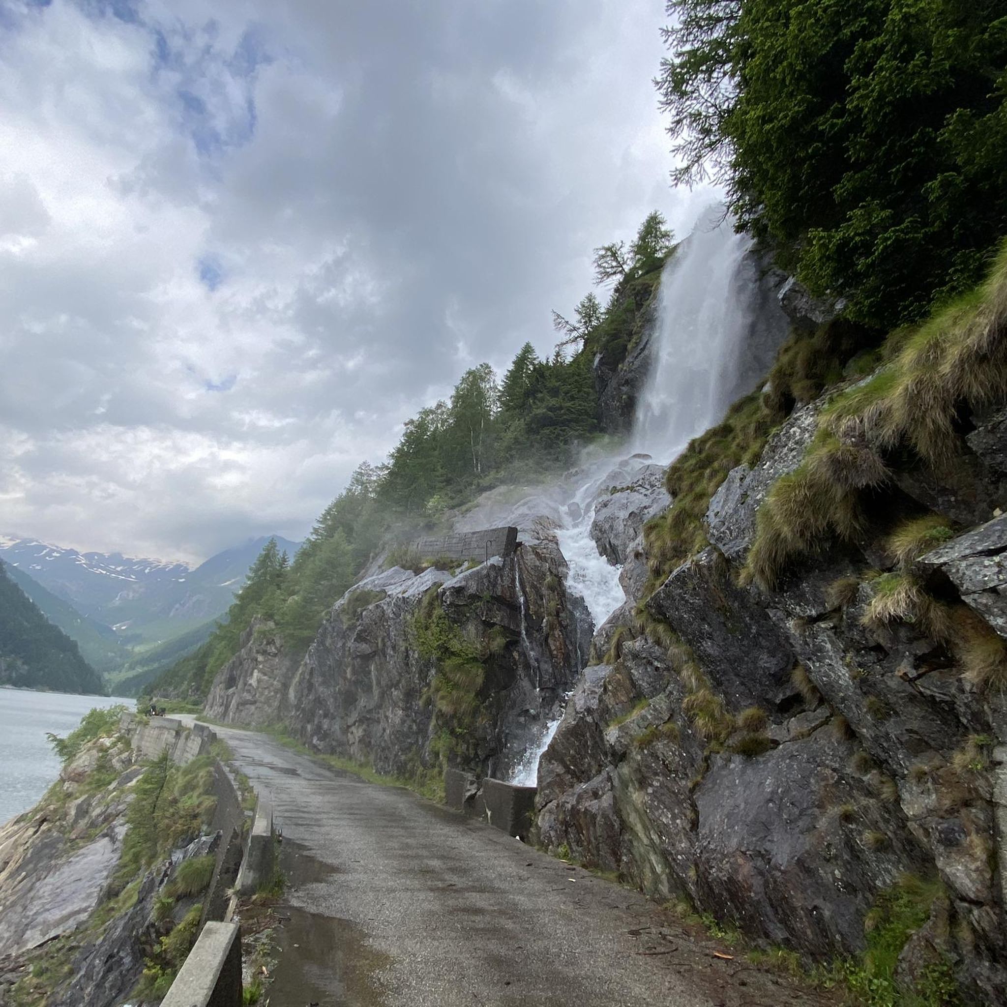
As others have already said: It's tough, steep, and beautiful here! It's best to split the climb into shorter stages, so the 2,000 meters of elevation gain over 30 kilometers from Bignasco aren't quite as terrifyingly daunting. From Bignasco to Prato Sornico, it's rarely very steep. There are a few flat sections where you can pick up a decent pace. After Mogno (visit the church in Botta) and up to Fusio, things really get going for the first time. Many hairpin bends soften the incredibly nasty ramps, but your legs will still be tested here! Up to the Sambucco reservoir, it becomes truly idyllic, green, and quiet. There are a few tough climbs, but even here, the difficulty is still manageable. There's a fountain at the summer restaurant: fill up your bidons again, because there are only streams and gullies here. After the relaxing flat section by the lake, the final and most strenuous part of the climb follows. The scenery is stunning, but it's steep all the way to the top! Wow!
1
0

Shopping opportunities
0
0

A great starting point for hikes from Airolo. The trains are reliably punctual, and there are many departures in both directions.
0
0
Great train station for hiking. Many trains run here, and they're generally punctual.
0
0

Frequently Asked Questions
What are the difficulty levels of mountaineering routes around Lake del Sambuco?
The Lake del Sambuco area offers a range of mountaineering routes to suit different skill levels. You'll find both moderate and difficult options. Moderate routes, like the View of Airolo loop from Airolo, are generally shorter and less strenuous. For those seeking a greater challenge, difficult routes such as the Idyllic Valley – Bocchetta del Lago Nero loop from Il Madone can involve significant elevation gain and longer durations, sometimes extending over 5 hours or involving more than 3000 feet of elevation.
Are there dedicated climbing routes around Lake del Sambuco?
Yes, the Sambuco dam itself features dedicated climbing routes. These routes are designed for training in concentration, coordination, and resistance, with difficulties ranging from 4a-5b, and one section up to 5c. They offer both multi-pitch and double rope options, allowing climbers to ascend or descend the 102-meter-high dam. Climbers should bring a minimum 50-meter rope, 15 quickdraws, and other standard climbing equipment. The routes are freely accessible but closed during winter.
When is the best time of year for mountaineering around Lake del Sambuco?
The best time for mountaineering around Lake del Sambuco is generally outside of the winter season, as some climbing routes on the dam are closed, and higher alpine trails can be impassable due to snow. Autumn is particularly picturesque, with the larches turning yellow, offering stunning views. Always check local conditions before heading out.
Are there family-friendly mountaineering options near Lake del Sambuco?
While many routes in the area are challenging, some paths are more easily accessible and suitable for various fitness levels. For a moderate experience, consider the Capanna Cadlimo SAC loop from Lago Ritom, which offers beautiful alpine scenery without extreme difficulty. Always assess the specific route's length and elevation gain to ensure it matches your family's capabilities.
Can I bring my dog on mountaineering routes in the Lake del Sambuco area?
Generally, dogs are welcome on many hiking and mountaineering trails in the Swiss Alps. However, it's always advisable to check specific trail regulations or local signage, especially in protected areas or near sensitive wildlife habitats. Ensure your dog is well-behaved, kept on a leash where required, and that you carry out all waste.
Are there circular mountaineering routes available?
Yes, the Lake del Sambuco area features several circular routes. For instance, the Capanna Leit – Lake Tremorgio (1827) loop from Lago Tremorgio offers a challenging circular journey through the alpine landscape. Another option is the Pizzo Cristallina Summit loop from Ossasco, which is a difficult, longer circular route for experienced mountaineers.
What notable natural features or landmarks can I expect to see?
The region is rich in natural beauty. Beyond the impressive Sambuco dam and the expansive reservoir of Lake del Sambuco, you can explore other nearby alpine lakes such as Lago del Naret and Lago del Corbo, which are part of the broader Lavizzara Valley. The rugged mountainous terrain of the Lepontine Alps and the scenic Maggia Valley also offer breathtaking views, especially in autumn when the larches change color.
What do other mountaineers enjoy the most about mountaineering in Lake del Sambuco?
The area is highly rated by the komoot community, with an average score of 5.0 stars. Mountaineers often praise the stunning views of the lake and surrounding mountains, the diverse challenges offered by the trails, and the sense of adventure in the high alpine terrain. The opportunity to explore other alpine lakes and the unique climbing experience on the Sambuco dam are also frequently highlighted.
What equipment is recommended for climbing the Sambuco Dam?
For climbing the Sambuco Dam, it is recommended to have a minimum 50-meter rope, 15 quickdraws, and other standard climbing equipment. The routes are freely accessible, but climbers should be experienced and prepared for multi-pitch and double rope options. It's also advisable to consult a climbing guide for detailed information.
Are there any seasonal considerations or closures for mountaineering routes?
Yes, seasonal conditions are important. The climbing routes on the Sambuco dam are closed during the winter season. Additionally, a specific multi-pitch route on the dam is unavailable for about 20 days between late August and early September to avoid disturbing a flock of Common House Martins. High alpine trails can also be affected by snow and ice outside of the main summer and early autumn months.
Where can I find parking for mountaineering routes near Lake del Sambuco?
Parking is generally available in the vicinity of the Sambuco dam and at common starting points for trails. Specific parking details can often be found on individual route descriptions or local tourist information. It's always a good idea to check for designated parking areas to ensure you're not obstructing access or parking illegally.
How many mountaineering routes are available around Lake del Sambuco?
There are 4 mountaineering routes detailed in this guide for the Lake del Sambuco area, offering a variety of experiences from moderate to difficult. These routes provide diverse options for exploring the stunning alpine landscape of the Maggia Valley.
Most popular routes around Lake del Sambuco

Get inspired with the komoot mobile app


Explore more
Browse the best Mountain Hikes & Routes in other regions.
