The best MTB trails around Lake Bianco
4.7
(574)
6,323
riders
50
rides
Mountain bike trails around Lake Bianco are set amidst the high Bernina Range of the Swiss Alps, characterized by its prominent glacial lake and surrounding snow-capped peaks. The region offers a diverse network of routes, including gravel roads, flow trails, and challenging singletracks. Riders navigate alpine terrain with significant elevation changes, often encountering sections that demand advanced skills. The landscape features the milky, whitish-turquoise Lake Bianco, fed by glacial meltwater, and views of peaks like Piz Bernina and Piz Palü.
…Last updated: May 9, 2026
5.0
(1)
13
riders
42.7km
03:12
1,460m
1,890m
Hard mountain bike ride. Very good fitness required. Advanced riding skills necessary. Some portions of the route may require you to push your bike.
4.8
(47)
858
riders
45.9km
04:19
1,030m
1,030m
Hard mountain bike ride. Very good fitness required. Advanced riding skills necessary.

Sign up for free
4.8
(26)
189
riders
Moderate mountain bike ride. Good fitness required. Advanced riding skills necessary.
3.6
(5)
85
riders
29.5km
03:23
770m
770m
Hard mountain bike ride. Good fitness required. Advanced riding skills necessary. Some portions of the route may require you to push your bike.
4.7
(11)
206
riders
28.8km
04:16
1,260m
1,260m
Hard mountain bike ride. Very good fitness required. Advanced riding skills necessary. Some portions of the route may require you to push your bike.
Get access to more routes and recommendations from other explorers.
Sign up for free
Already have an account?
Our route recommendations are based on thousands of hikes, rides, and runs completed by other people on komoot.
Start today with a free account
Your next adventure awaits.
Login or Signup
Popular around Lake Bianco
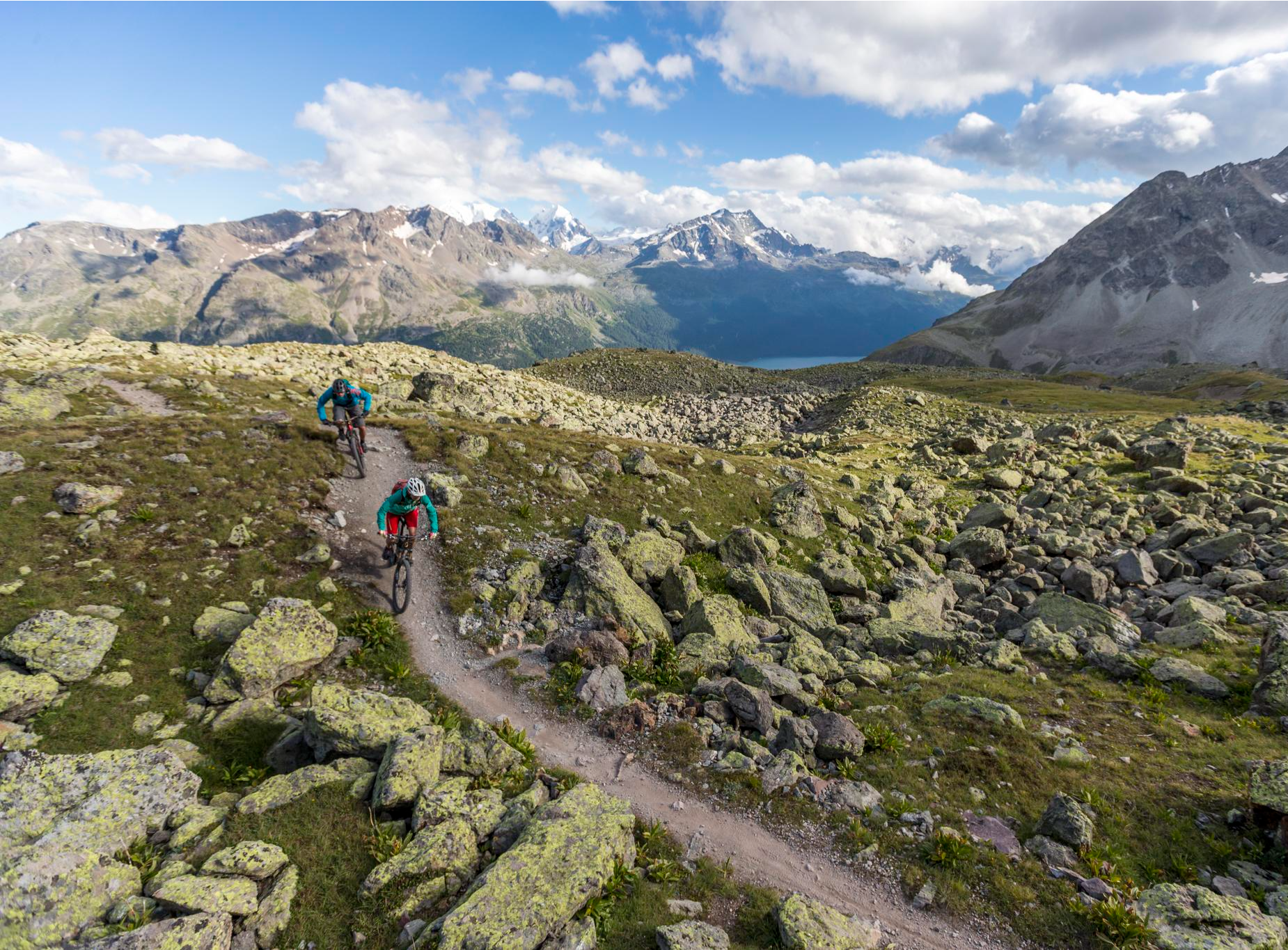
Consideration on the trails – it just makes sense!
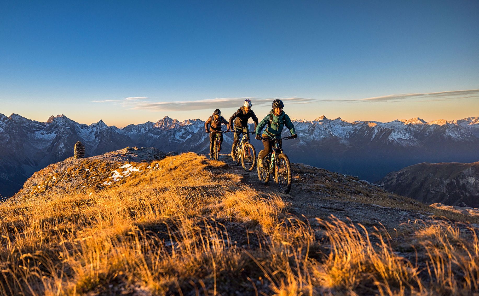
These 5 enduro bike tours will make you happy
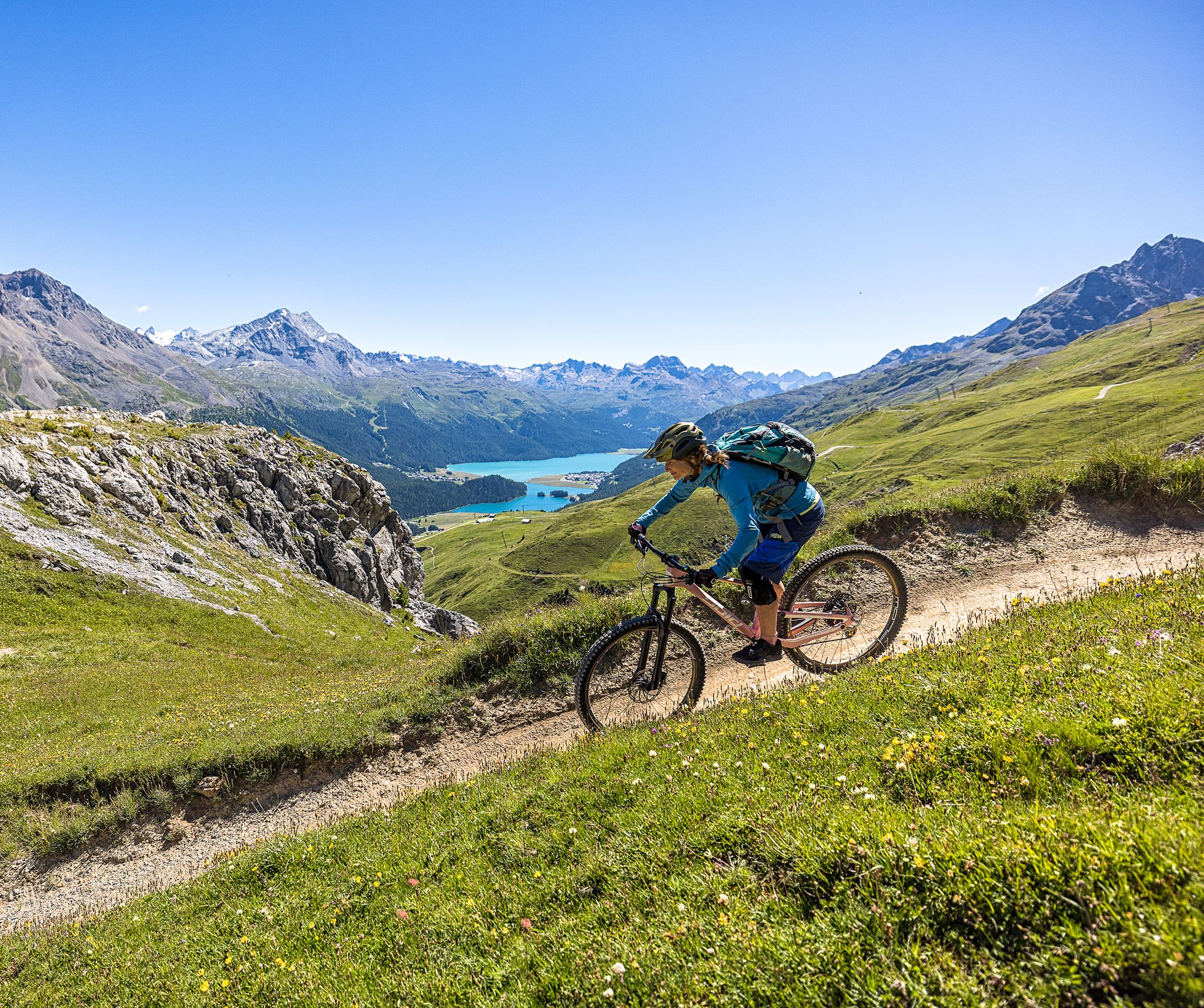
Trails with spectacular alpine panoramas – Engadin MTB region
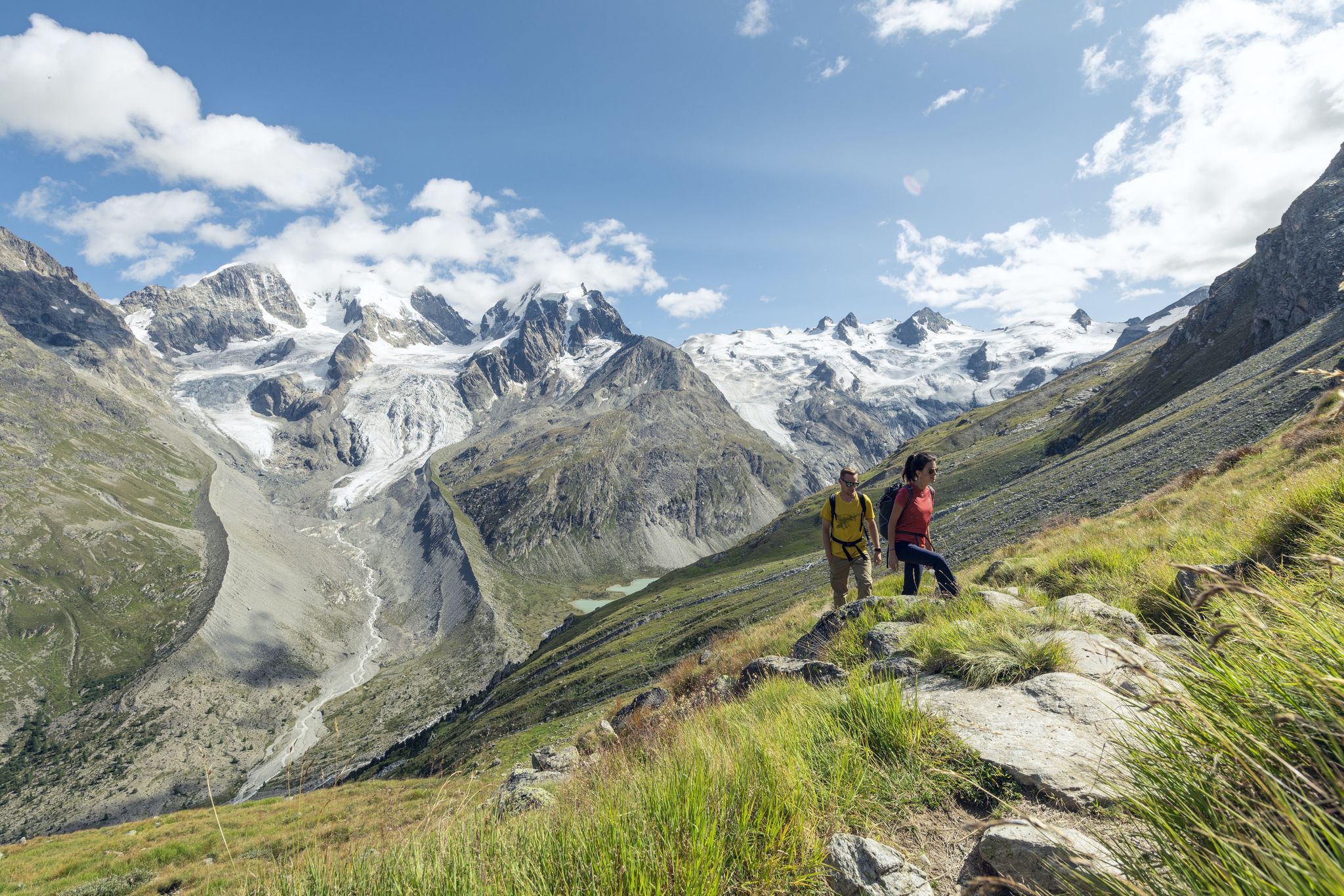
Via Engiadina and Bernina Tour – long-distance hiking in the Engadine
Bernina Tour – 8 days around the only 4,000er peak in the Eastern Alps
Running Trails around Lake Bianco
Hiking around Lake Bianco
Cycling around Lake Bianco
Road Cycling Routes around Lake Bianco

Mountain Hikes around Lake Bianco
Other adventures around Lake Bianco


Tips from the Community

There is only one 4000-meter peak in Graubünden, Piz Bernina (4048 m), incidentally the only 4000-meter peak in the entire Eastern Alps. It's probably not visible from here. It's certainly not depicted in this photo.
0
0

To return to Livigno, at the top of the Valle del Fieno, take the path on your left, you must carry the bike by hand. DO NOT take the path on the right, it is impassable and DANGEROUS.
0
0


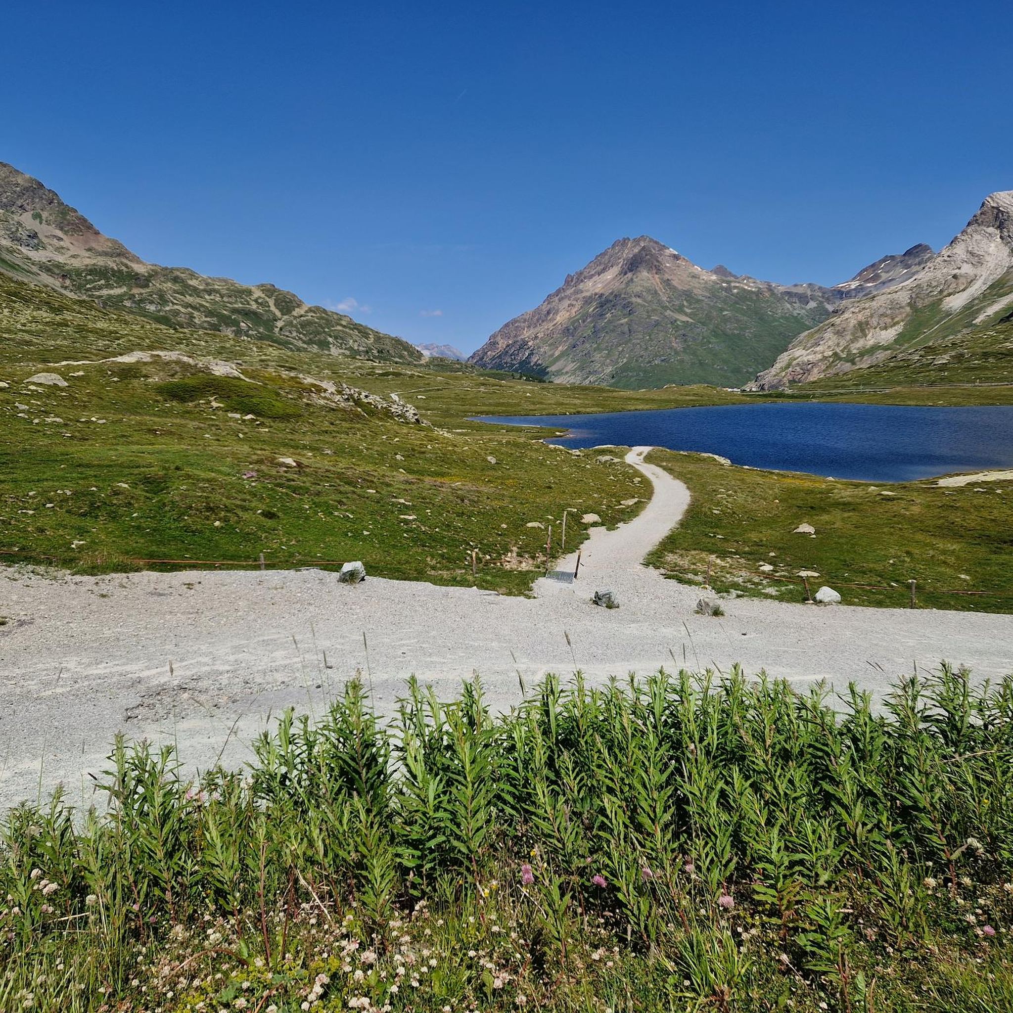
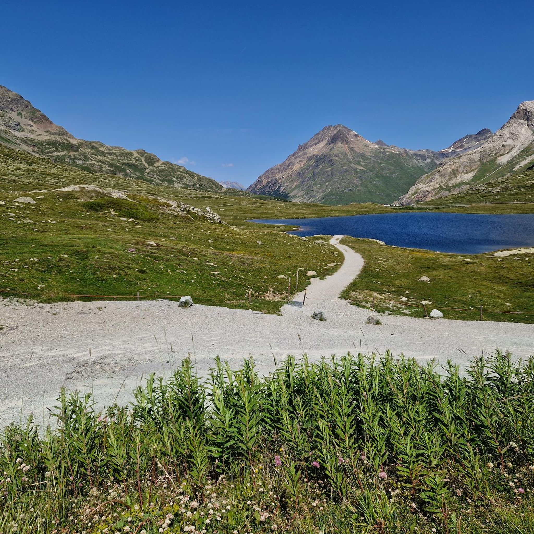
After the climb there is a great view of Lago Bianco.
0
0

In winter there is hardly anyone there - you are wonderfully alone! With a bit of luck you will also be the first person to look for the snowy hiking trail 😊. An incredibly great region!
1
0

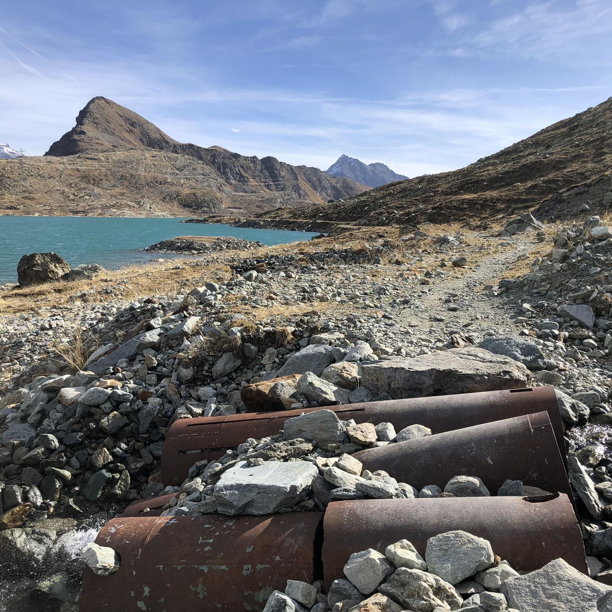
Lago Bianco, Bernina Pass at 2234 meters The Lago Bianco is a reservoir at the Bernina Pass and is located in the area of the municipalities of Pontresina and Poschiavo. The lake is located directly at the pass at 2234 meters above sea level. The Lago Bianco is bordered by two dams on its north and south sides and is around three kilometers long and about 800m wide. When filled to its maximum, the depth of the Lago Bianco is over 50 meters. The reservoir on the Bernina Pass is fed by various mountain streams and glacier water, while the Cavagliasch in particular leaves the lake. The whitish, somewhat milky-looking Lago Bianco gets its name (in German "White Lake") from the inflow of sand and glacier water. The Bernina Hospice (Ospizio Bernina) is located on the western shore of Lago Bianco, and the Rhaetian Railway's train line - the Bernina Express - also runs directly along the shore. The Bernina Pass road is also located on the western side, but not directly on the lake shore. In cold winters, the lake can freeze over and in some years the beautiful black ice forms. When the reservoir is then opened by the authorities, nothing stands in the way of ice skating on Lago Bianco. Text / Source: Schweizersee.ch https://www.schweizersee.ch/lago_bianco_pontresina/
16
0

A little in the shadow of Lago Bianco but no less beautiful. We recommend seeing the reflection in the morning when there is still no wind.
2
0

A very easy trail from the Morteratsch train station to the glacier's 2015 elevation, marked at this point. The bike route ends here, and further cycling is impossible; the only way forward is on foot. The current glacier tongue isn't visible from here, however, as it's hidden behind rocks. There are many hikers on the same route, but the trail is relatively wide.
3
0
Frequently Asked Questions
How many mountain bike trails are there around Lake Bianco?
The Lake Bianco region offers a diverse network of over 45 mountain bike trails. These routes cater to various skill levels, from moderate gravel paths to demanding alpine singletracks.
What are the difficulty levels of mountain bike trails around Lake Bianco?
The trails around Lake Bianco range from moderate to difficult. You'll find approximately 5 easy routes, over 20 moderate trails, and more than 20 challenging routes designed for experienced riders. The terrain often includes significant elevation changes and rugged alpine sections.
When is the best time of year for mountain biking around Lake Bianco?
The prime season for mountain biking around Lake Bianco typically runs from late spring to early autumn. During these months, trails are generally free of snow, and the weather conditions are most favorable for exploring the high alpine environment. Always check local trail conditions before heading out, especially early or late in the season.
Are there family-friendly mountain bike trails around Lake Bianco?
While many trails in the Lake Bianco region are challenging, there are some easier options suitable for families or less experienced riders. These often include less technical sections and more gradual ascents, allowing for a more relaxed experience amidst the stunning scenery.
Are there any circular mountain bike routes around Lake Bianco?
Yes, the region features several excellent circular mountain bike routes. For example, the Morteratsch Glacier – Lago Bianco Lakeside Trail loop from Ospizio Bernina is a moderate 35.7 km ride offering scenic views. Another option is the challenging Singletrack Fuorcla Minor – White Lake loop from Ospizio Bernina, which covers 45.9 km through high alpine passes.
What kind of natural attractions or landmarks can I see along the mountain bike trails?
The trails offer breathtaking views of high, snow-capped mountains like Piz Bernina and Piz Palü, and the milky, whitish-turquoise Lago Bianco itself. You can also see the darker Lej Nair, which contrasts beautifully with Lake Bianco. The famous Rhaetian Railway, a UNESCO World Heritage site, also winds along the lake's shore.
Where can I park my car when mountain biking around Lake Bianco?
Parking is available at key access points, such as near Ospizio Bernina Railway Station. This is a common starting point for many routes, including the Lago Bianco Lakeside Trail – Bernina single trails loop. Specific parking facilities and potential costs should be checked locally upon arrival.
Can I reach the mountain bike trails around Lake Bianco using public transport?
Yes, the region is well-served by public transport, particularly the Rhaetian Railway. The Ospizio Bernina Railway Station, located directly on the western shore of Lake Bianco, is the highest railway station in the network and provides excellent access to many trailheads. This allows for convenient one-way rides or reaching starting points without a car.
Are there any regulations or permits required for mountain biking in the Bernina Pass area?
Generally, mountain biking on designated trails in the Bernina Pass area does not require specific permits. However, it's always advisable to respect local signage, trail closures, and any specific rules that may apply to certain sections, especially those shared with hikers. Always stay on marked trails.
What do other mountain bikers enjoy most about the Lake Bianco trails?
The mountain bike trails around Lake Bianco are highly rated by the komoot community, with an average score of 4.7 stars from over 570 reviews. Riders frequently praise the spectacular alpine panoramas, the unique glacial lake views, and the diverse range of trails that cater to different skill levels, from flow trails to challenging singletracks.
Are there places to eat or stay near the mountain bike trails?
Yes, the area around Lake Bianco offers amenities for visitors. Ospizio Bernina, located at the lake, provides facilities and is a common hub. Additionally, places like Alp Grüm, accessible by path from the lake, offer restaurants with breathtaking views. For more extensive options, nearby towns in the Engadin and Valposchiavo regions provide cafes, pubs, and accommodation.
Most popular routes around Lake Bianco
Most popular attractions around Lake Bianco

Get inspired with the komoot mobile app


Explore more
Browse the best MTB trails in other regions.
