The best running trails around Göscheneralpsee
4.6
(27)
1,156
runners
34
runs
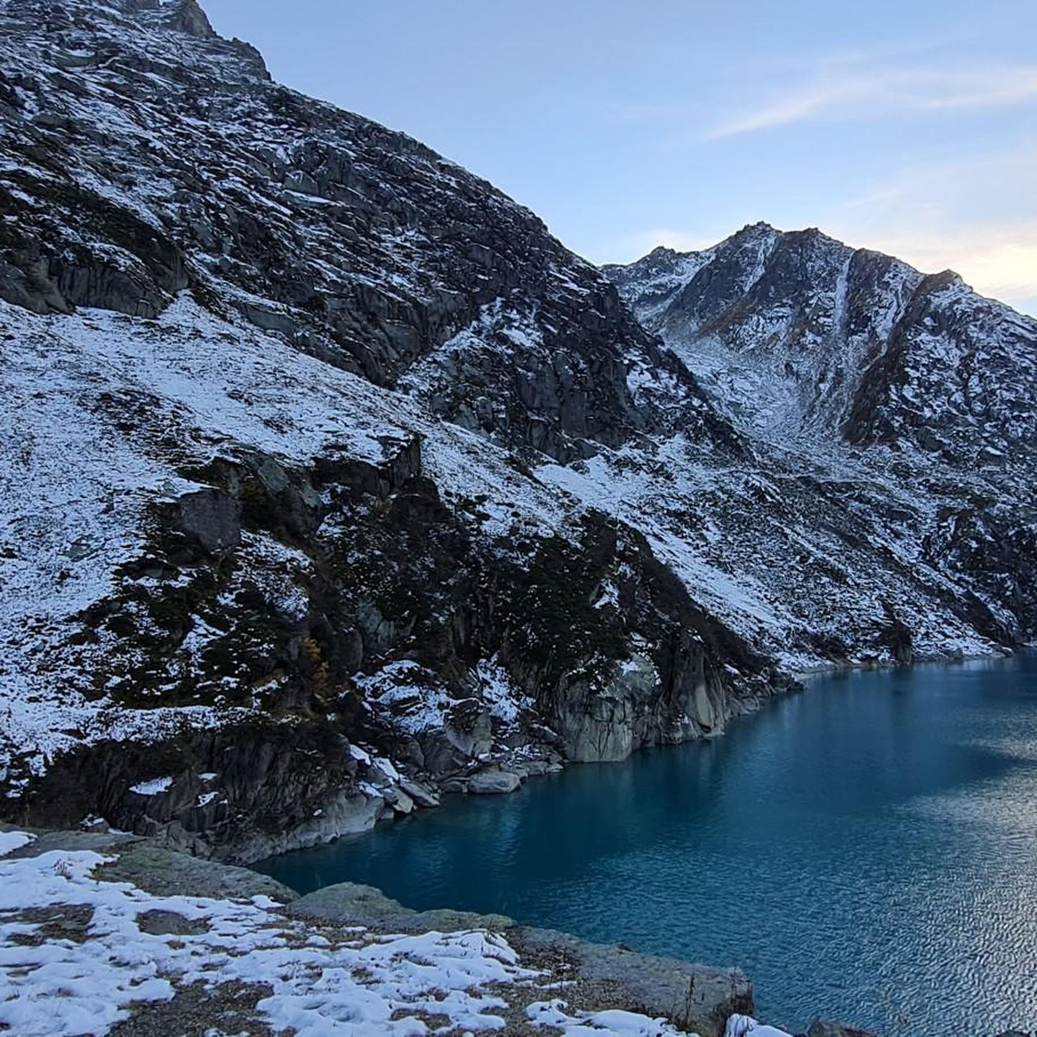
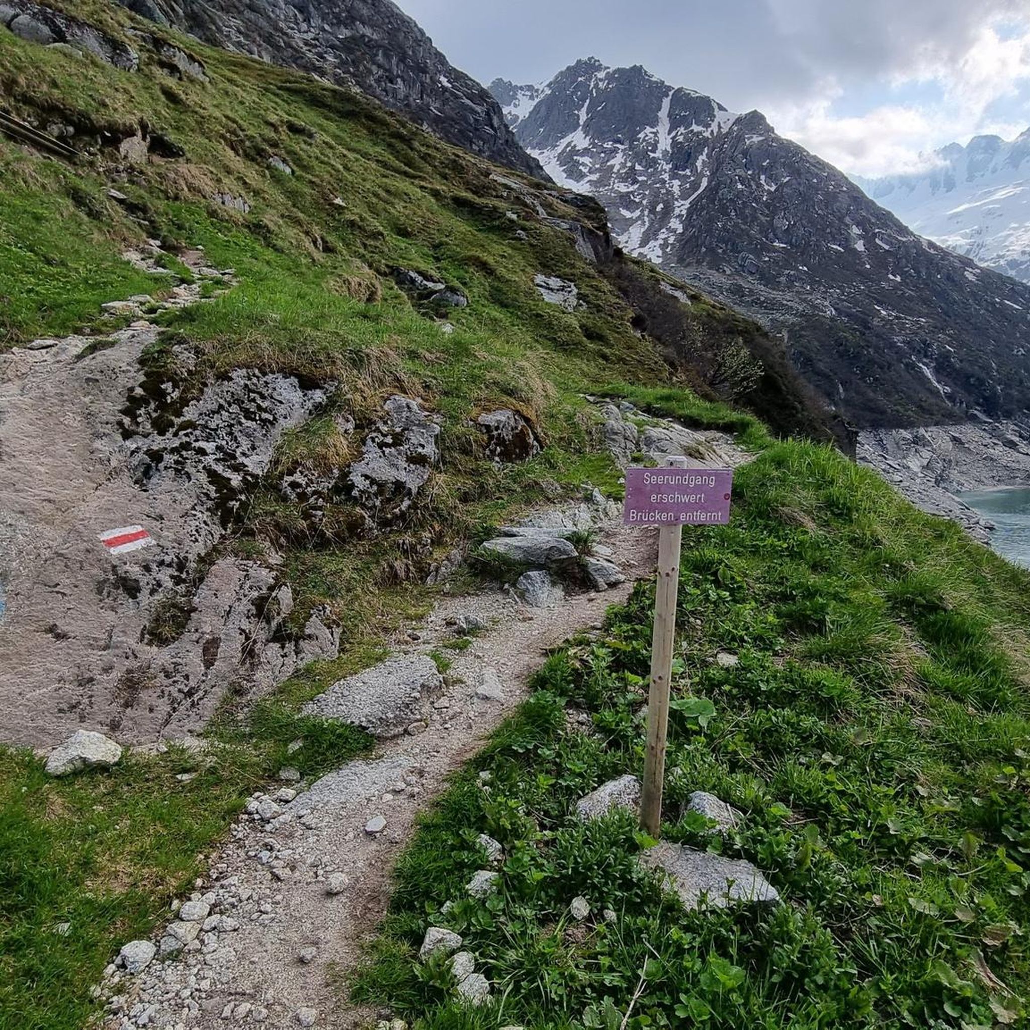
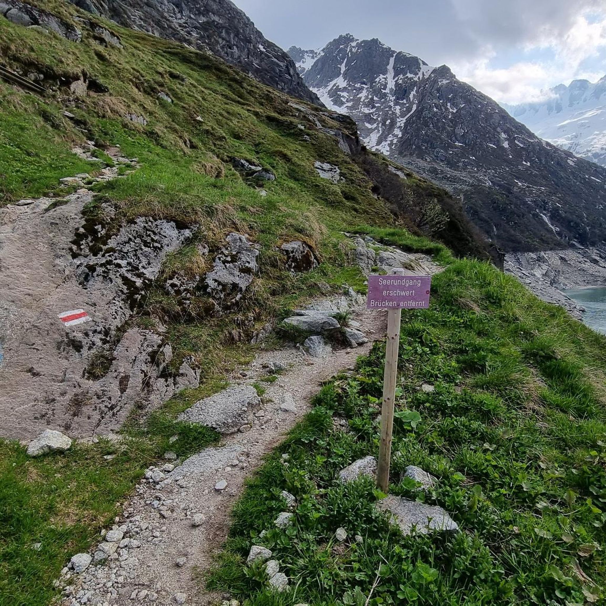
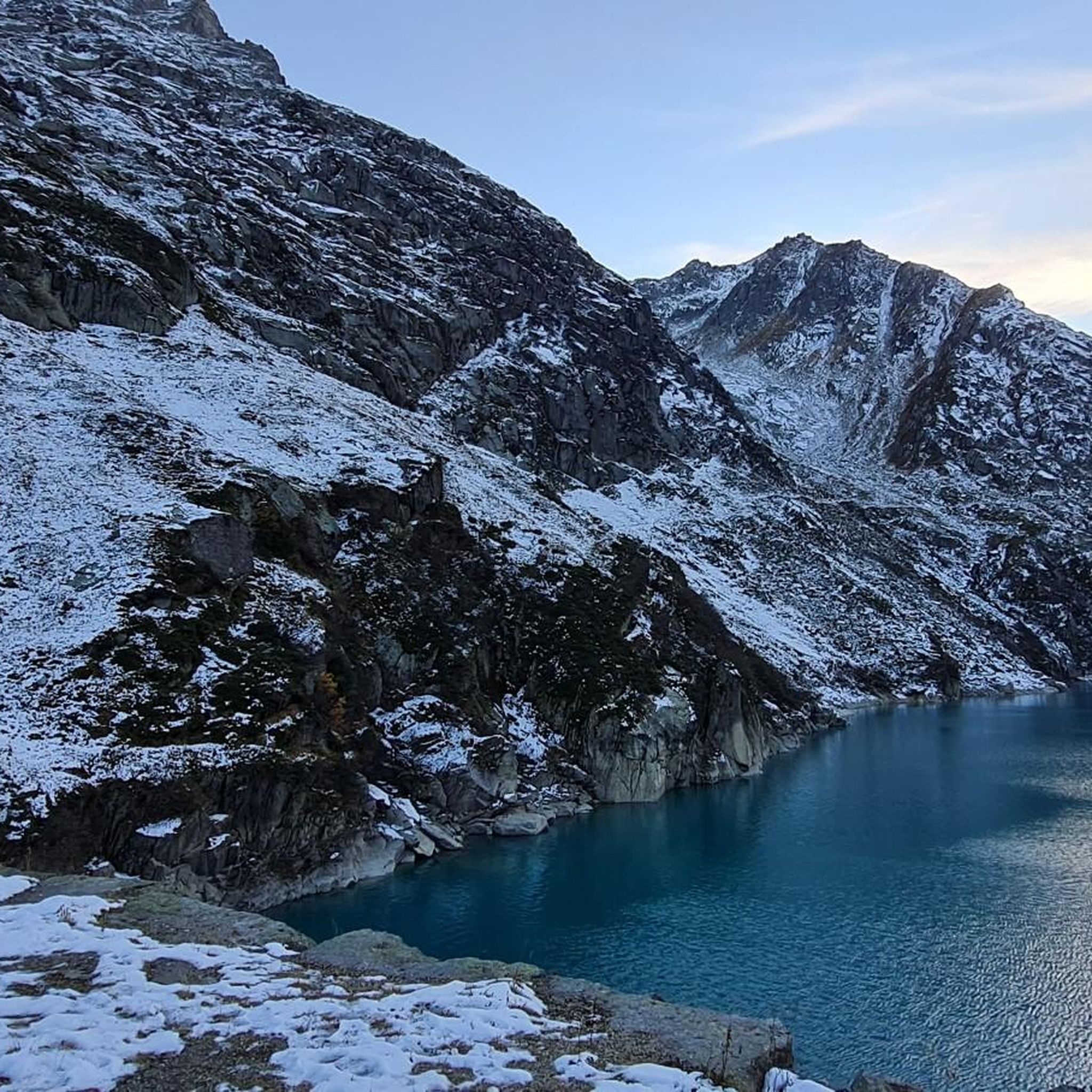
Jogging around Göscheneralpsee offers routes through a high-alpine landscape, centered around the turquoise-blue Göscheneralpsee reservoir at 1,792 meters above sea level. The region features dramatic granite formations, snow-capped mountains, and visible glaciers. Terrain varies from rocky sections to moorland landscapes, with the Göschenerreuss river and alpine flora present.
Best jogging routes around Göscheneralpsee
- The most popular jogging route is Göscheneralpsee loop from Göscheneralpsee, a 7.0 miles (11.3 km) trail that takes 2 hours 7 minutes to complete. This route…
Last updated: October 10, 2026
5.0
(1)
48
runners
11.4km
02:08
660m
650m
Hard run. Very good fitness required. Sure-footedness, sturdy shoes and alpine experience required.
11
runners
7.27km
01:01
260m
260m
Hard run. Good fitness required. Sure-footedness, sturdy shoes and alpine experience required.

5.0
(3)
84
runners
16.0km
01:50
140m
140m
Hard run. Very good fitness required. Mostly paved surfaces. Suitable for all skill levels.
7
runners
9.00km
01:34
480m
480m
Hard run. Very good fitness required. Sure-footedness, sturdy shoes and alpine experience required.
7
runners
30.3km
04:03
940m
940m
Hard run. Very good fitness required. Sure-footedness, sturdy shoes and alpine experience required.
Get access to more routes and recommendations from other explorers.
Already have an account?
Our route recommendations are based on thousands of hikes, rides, and runs completed by other people on komoot.
Start today with a free account
Your next adventure awaits.

Tips from the Community

Carved and sculpted from the rock, it is particularly imposing.
5
0
Engraved or rather carved into the rock, it is literally monumental.
3
0
A very pleasant shady place to ride
5
0


The cable car to Gemstock starts nearby, from where you have a very nice view and in winter there are great ski slopes.
2
0

From Andermatt train station, there is a short hiking trail to the Devil's Bridge and Schöllen Gorge. Simply follow the circular trail sign. You can go through the tunnel on the circular trail without any problems.
3
0

If you want to get a spooky look into the Schöllenen Gorge, you should take the Schöllenen circular trail during the summer months. It is easy to walk and takes no more than 30 minutes at a leisurely pace. One section goes through a tunnel, which unfortunately was not lit when we were there, despite the appropriate installation.
2
0
The route over the Gotthard Pass leads through the dangerous Schöllenen Gorge with steep walls and a wild river. The French fought against the Russians here over 200 years ago. The Suvorov Memorial commemorates the fallen. Currently (5/24) the access path to the memorial is closed. (Risk of falling rocks?).
4
0
Frequently Asked Questions
How many running routes are available around Göscheneralpsee?
There are over 30 dedicated running routes around Göscheneralpsee, offering a wide range of options for different fitness levels and preferences. The komoot community has explored these trails over 1000 times.
What kind of terrain can I expect on the jogging trails in Göscheneralpsee?
The terrain around Göscheneralpsee is quite varied. While some sections are rocky and uneven, requiring sure-footedness, other parts may be partially paved. You'll encounter dramatic granite formations, moorland landscapes, and lush alpine flora, all set against a backdrop of snow-capped mountains and glaciers.
Are there any easy or beginner-friendly running routes in the Göscheneralpsee area?
Yes, while many routes are challenging, there are 6 routes classified as easy. For example, a popular option is the 9 km loop around the lake, which is generally considered of moderate difficulty but offers a stimulating workout with constant scenic rewards. Always check the route details for specific elevation changes and surface conditions.
What are the main attractions or natural features to see while jogging around Göscheneralpsee?
Runners can enjoy the vibrant turquoise-blue Göscheneralpsee itself, surrounded by towering mountains and visible glaciers. A significant attraction is the impressive dam, considered Switzerland's highest stone dam, which offers magnificent views. You'll also find panoramic viewpoints, lush alpine flora, and the Göschenerreuss river. Keep an eye out for wildlife like marmots, chamois, and ibex.
Are there any circular running routes around Göscheneralpsee?
Yes, several routes offer circular options. A well-known one is the Göscheneralpsee loop from Göscheneralpsee, an 11.3 km trail that requires very good fitness due to its elevation changes. Another is the Lake Göscheneralp – Chapel Bell of Göscheneralp loop from P6 Jäntelboden, a difficult 7.3 km path winding through the alpine landscape.
What do other runners enjoy most about the trails in Göscheneralpsee?
The running routes in Göscheneralpsee are highly rated by the komoot community, with an average score of 4.6 stars from over 20 reviews. Runners frequently praise the stunning high-alpine scenery, the dramatic granite formations, and the unique experience of jogging alongside glacial lakes and visible glaciers.
Is Göscheneralpsee accessible by public transport for runners?
The region is generally accessible, but specific public transport options to the trailheads can vary. It's advisable to check local bus schedules or train connections to nearby towns like Realp, from where some routes, such as the Schluechtbiel loop from Realp, begin.
Are there parking facilities available for runners at Göscheneralpsee?
Yes, parking is typically available in the Göscheneralpsee area, often near popular starting points for trails. For instance, the Lake Göscheneralp – Chapel Bell of Göscheneralp loop starts from P6 Jäntelboden, indicating designated parking areas.
What is the best season for running in Göscheneralpsee?
The high-alpine nature of Göscheneralpsee means that the best season for running is typically from late spring to early autumn when trails are clear of snow and ice. Summer offers lush alpine flora and comfortable temperatures, but always check local conditions, especially for higher elevation routes, as weather can change rapidly.
Are there any family-friendly running options around Göscheneralpsee?
While many routes feature significant elevation changes and rocky sections, there are some easier paths that families might enjoy for a more leisurely jog or walk. Look for routes with less elevation gain and smoother surfaces. Always assess the difficulty and length to match your family's fitness level.
Can I bring my dog on the running trails at Göscheneralpsee?
Generally, dogs are welcome on trails in the Swiss Alps, but it's crucial to keep them on a leash, especially in areas with grazing livestock or wildlife. Always be mindful of other hikers and runners, and ensure you clean up after your pet. Check specific trail regulations if you have concerns.
Are there places to eat or stay near the Göscheneralpsee running routes?
Yes, mountain huts like the Bergseehütte and Chelenalphütte are accessible from the area, offering places to rest and often serving refreshments. These huts can also serve as starting points for tours. For more extensive dining or accommodation, nearby villages would be the best option.
Most popular routes around Göscheneralpsee

Get inspired with the komoot mobile app


Explore more
Browse the best Running Trails & Routes in other regions.
