The best walks and hikes around Castel San Pietro
4.5
(4627)
24,205
hikers
15
hikes
Hiking around Castel San Pietro offers diverse terrain across its Italian and Swiss locations. The region features rolling hills, vineyards, and unique geological formations like "calanchi" (clay gullies) in Emilia-Romagna. In Ticino, Switzerland, the landscape transitions to mountainous areas with panoramic views, extending towards Monte Generoso and encompassing the Gole della Breggia. The area is characterized by a mix of river valleys, forested paths, and elevated viewpoints.
Best hiking trails around Castel San Pietro
- The most popular hiking route is Park of the Gole della Breggia, a 2.4 miles (3.9 km) moderate trail that takes 1 hour 7 minutes to complete, exploring a significant geological park.
- Another top favourite among local hikers is Alpe di Caviano e Campora – loop from Castel San Pietro, a moderate 6.9 miles (11.1 km) path. This route offers scenic paths through the Ticino landscape.
- Local hikers also love the View from Monte Generoso – Monte Generoso loop from Circolo di Balerna, a 10.4 miles (16.7 km) trail leading through mountainous terrain with panoramic vistas, often completed in about 6 hours 7 minutes.
- Hiking around Castel San Pietro is defined by rolling hills, geological formations like calanchi, and mountainous ascents with panoramic views. The network offers options for different ability levels, from easy river walks to challenging mountain trails.
- The routes in Castel San Pietro are highly rated by the komoot community with an average score of 4.5 stars from over 4300 reviews. More than 23000 hikers have used komoot to explore Castel San Pietro's varied terrain.
Last updated: May 26, 2026
4.6
(11)
53
hikers
3.91km
01:07
30m
190m
Moderate hike. Great for any fitness level. Mostly accessible paths. Sure-footedness required.
5.0
(5)
28
hikers
3.45km
01:10
140m
140m
Hike the Parco delle Gole della Breggia loop from Castel San Pietro, a moderate 2.1-mile trail through geological and historical wonders.

Sign up for free
3.8
(6)
29
hikers
11.1km
03:56
540m
540m
Moderate hike. Good fitness required. Mostly accessible paths. Sure-footedness required.
4.8
(4)
54
hikers
7.13km
02:34
450m
450m
Moderate hike. Good fitness required. Easily-accessible paths. Suitable for all skill levels.
19
hikers
Moderate hike. Good fitness required. Easily-accessible paths. Suitable for all skill levels.
Get access to more routes and recommendations from other explorers.
Sign up for free
Already have an account?
Our route recommendations are based on thousands of hikes, rides, and runs completed by other people on komoot.
Start today with a free account
Your next adventure awaits.
Login or Signup
Popular around Castel San Pietro
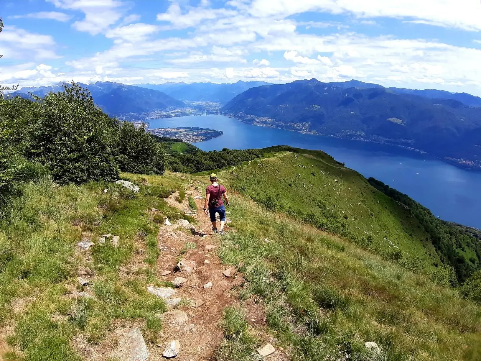
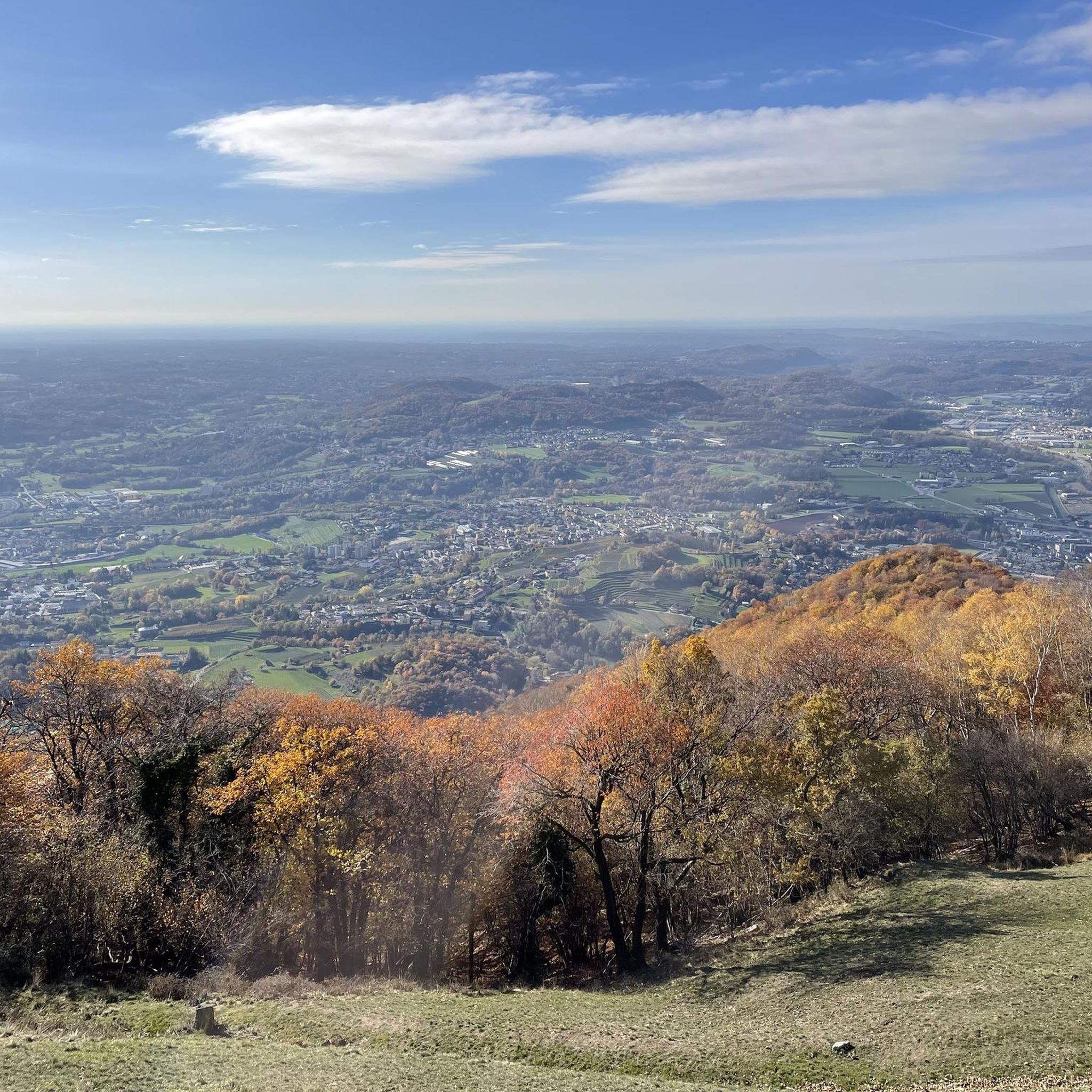
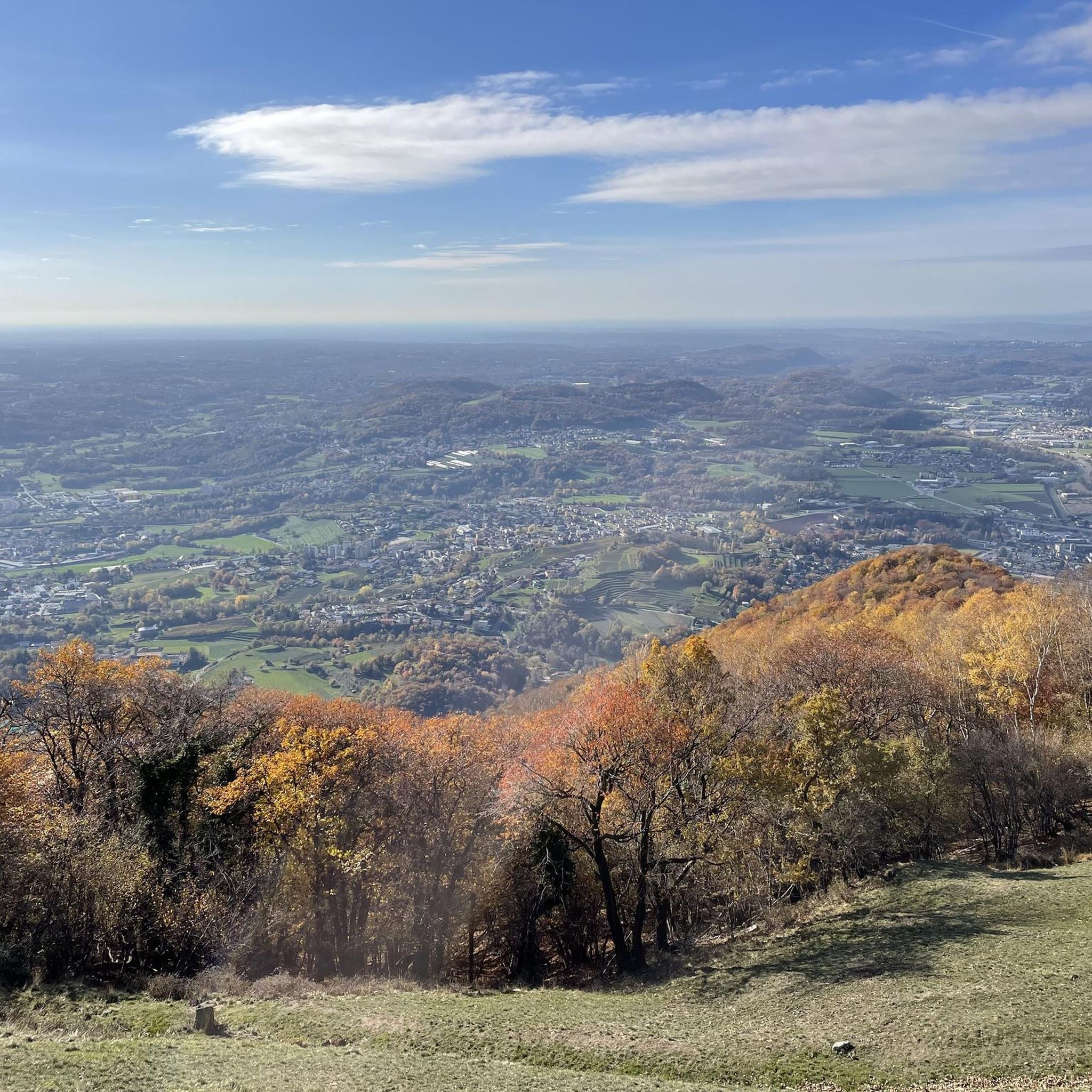
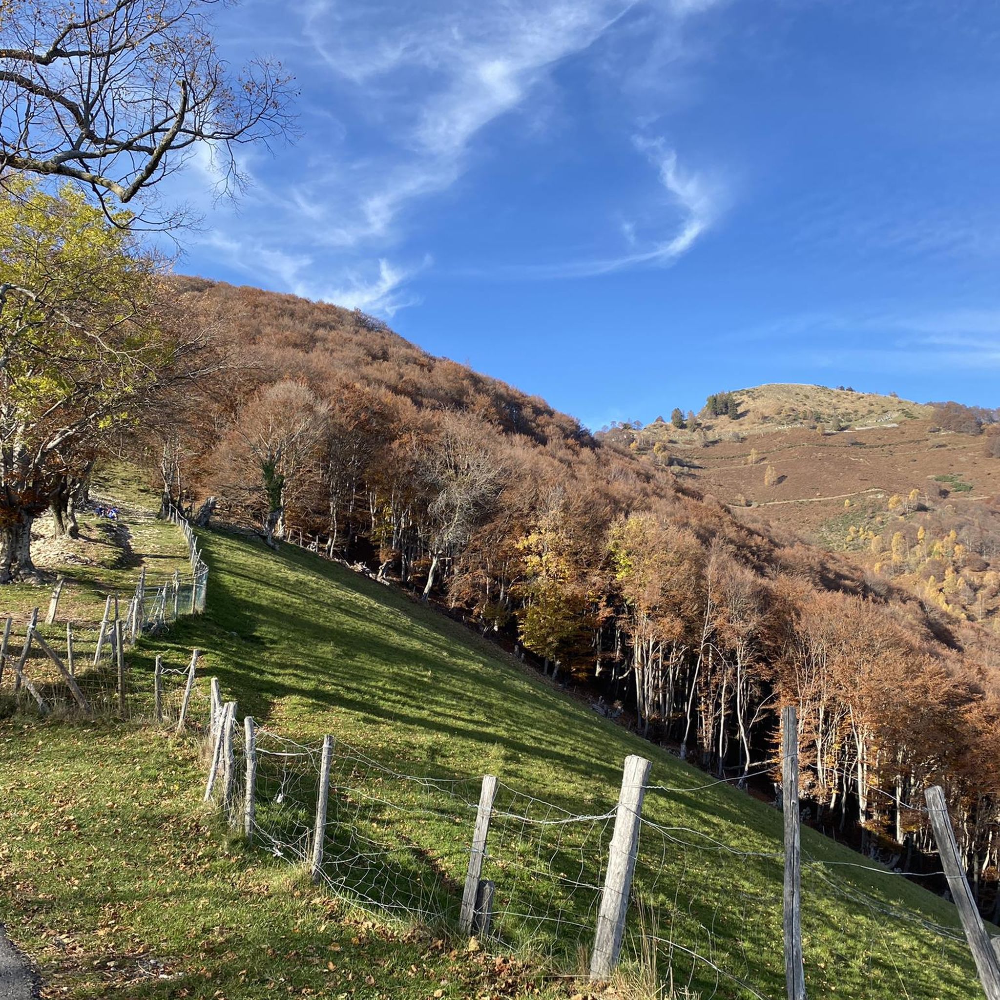

Other adventures around Castel San Pietro

Tips from the Community

For mountain bikes with power/charging station For mountain bikes without/food
0
0

150 meters after the curve you reach Alpe di Caviano, belonging to the Patriziato di Castel San Pietro, where you can stay overnight in the recently renovated structure. Get information beforehand www.alpedicaviano.ch
0
0

Nice route, the climb from Castel San Pietro towards Alpe di Caivano is steep, on a cobbled road with bumpy sections, difficult without an EMTB. The descent is steep and could be risky due to the potholes. From Alpe di Caivano it is better to go through Generoso to Osteria La Peonia and then go down to Mendrisio.
2
0

stone bridge built between 1820 and 1822, called "ul punt da canaa", because it was located near the water intake for the mill
0
0
Punt from Canaa The deep furrow of the Breggia has always represented a difficult obstacle to crossing the valley. Of the various ways used to pass from one bank to the other, many traces remain within the Park: the oldest is perhaps the Murnée ford. The first indications of the extraordinary bridge built between two rock spurs 35 m above the river bed at the narrowest point of the Gorges date back to 1426: the Farügin bridge (or St. Peter's Bridge. The circular road was built around 1820 between Castel San Pietro and Morbio Superiore which crosses the Breggia with a stone bridge (Punt da Canaa) the large iron bridge (Punt da Castel) was built in 1997, replaced by the current concrete bridge.
0
0

Fantastic landscape, very well maintained paths 💯. What can I say, try 👍🥾🚶
0
0

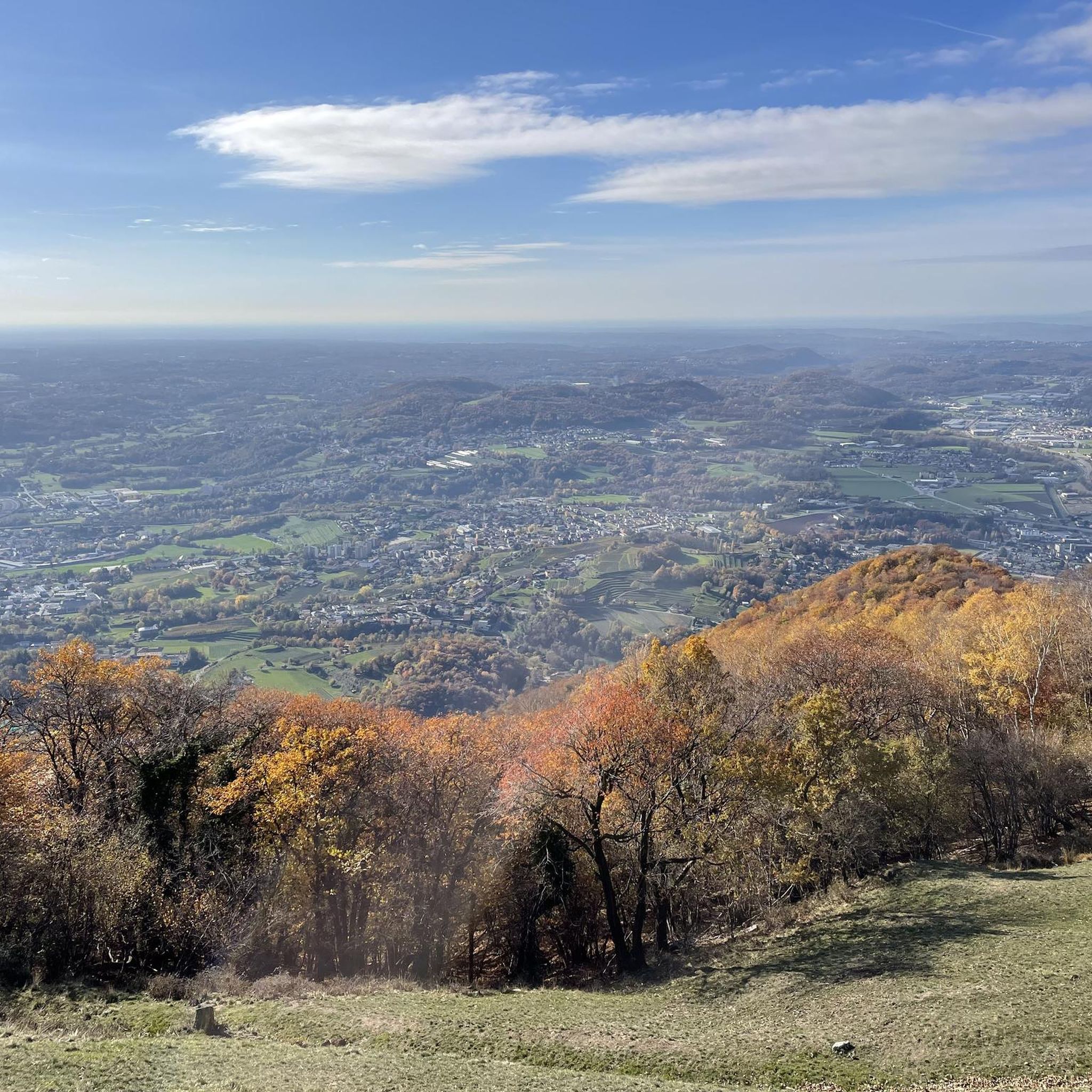
Alpe Caviano is located at an altitude of 970 metres, here you have a wonderful view of all the most important massifs of the Alps as well as of the entire Mendrisiotto area and the surrounding mountains.
1
0
Wonderful natural park created by the flowing waters of the Breggia river.
1
0
Frequently Asked Questions
What kind of terrain can I expect when hiking around Castel San Pietro?
The terrain varies significantly depending on the specific Castel San Pietro location. In Emilia-Romagna, Italy, you'll find rolling hills, vineyards, and unique geological formations known as calanchi (clay gullies). In Ticino, Switzerland, the landscape is more mountainous, offering panoramic views, especially towards Monte Generoso and through the dramatic Gole della Breggia.
Are there any easy hiking trails suitable for beginners or casual walkers?
Yes, there are several easy options. For instance, in Castel San Pietro Terme, Italy, trails through the Lungo Sillaro Park offer serene walks along the river. In Ticino, Switzerland, while many routes are moderate, shorter sections within the Park of the Gole della Breggia provide accessible exploration of geological wonders.
What are some notable natural features or landmarks to look out for on the trails?
Around Castel San Pietro Terme, the striking calanchi formations and the lush Angels Garden are prominent natural features. In the Swiss Ticino area, the majestic Monte Generoso offers breathtaking panoramic views, and the Gole della Breggia is a significant geological park. For historical views, the ascent to Castel San Pietro in Verona provides unparalleled cityscapes.
Are there any circular hiking routes available?
Yes, many routes in the region are designed as loops. An example is the Alpe di Caviano e Campora – loop from Castel San Pietro in Ticino, which offers scenic paths. Another is the Parco delle Gole della Breggia – loop from Castel San Pietro, perfect for exploring the geological park.
What is the best time of year to go hiking in Castel San Pietro?
The best time largely depends on the specific location. For Castel San Pietro Terme, spring and autumn offer pleasant temperatures for exploring the rolling hills and vineyards. In Ticino, Switzerland, the lower elevations and warmer weather allow for a longer hiking season compared to other Swiss trails, making spring through early autumn ideal for mountain ascents and panoramic views.
Are there any challenging hikes for experienced trekkers?
Yes, for those seeking a challenge, the mountainous terrain around Castel San Pietro in Ticino, Switzerland, provides more demanding options. A notable difficult route is the View from Monte Generoso – Monte Generoso loop from Circolo di Balerna, which involves significant elevation gain and offers extensive panoramic vistas.
What do other hikers say about the trails in Castel San Pietro?
The routes in Castel San Pietro are highly rated by the komoot community, with an average score of 4.5 stars from over 4300 reviews. Hikers often praise the varied terrain, from geological formations to mountainous ascents, and the well-maintained paths that cater to different ability levels.
Can I find family-friendly walking routes in the area?
Absolutely. Many areas offer gentle paths suitable for families. In Castel San Pietro Terme, the Lungo Sillaro Park provides easy, flat walks. In Ticino, shorter, less strenuous sections within the Parco delle Gole della Breggia are also great for families looking to explore nature without extreme difficulty.
Are there opportunities to see historical sites or cultural attractions while hiking?
Yes, especially in the Italian locations. Near Castel San Pietro Terme, the medieval hamlet of Dozza, with its painted walls and Sforza Fortress, can be incorporated into hiking itineraries. In Verona, the 'hike' up to Castel San Pietro itself is a historical journey, offering views of the Roman Theatre and Ponte Pietra, with deep roots in Iron Age and Roman settlements.
How many hiking trails are available around Castel San Pietro?
There are over 15 hiking trails documented around Castel San Pietro, offering a diverse range of experiences from easy river walks to challenging mountain ascents. This includes 5 easy, 9 moderate, and 1 difficult route.
Are there any viewpoints offering scenic panoramas?
Definitely. In Ticino, Switzerland, the ascent to Monte Generoso is renowned for its panoramic vistas of the Mendrisiotto area, Lake Lugano, and even the Po Valley. In Verona, the view from Castel San Pietro itself provides stunning cityscapes of Verona, the Adige River, and its historic center.
Most popular routes around Castel San Pietro
Most popular attractions around Castel San Pietro

Get inspired with the komoot mobile app


Explore more
Browse the best Hikes in other regions.
