The best road cycling routes around Embalse de la Aceña
4.2
(12)
1,050
riders
24
rides
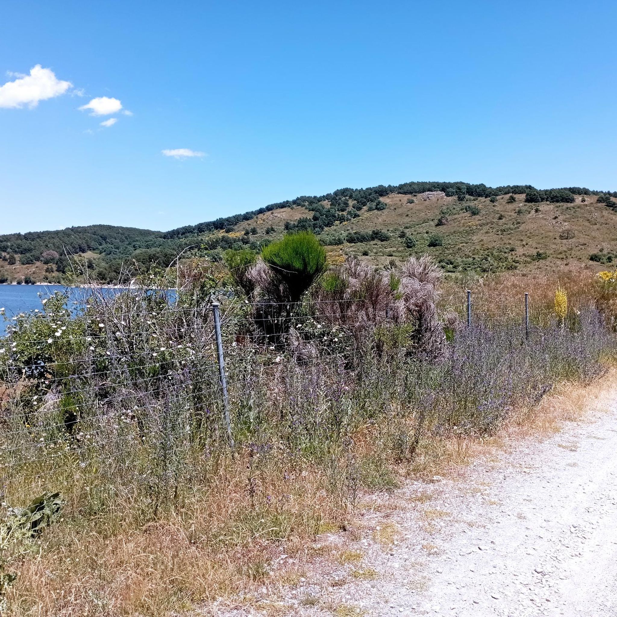
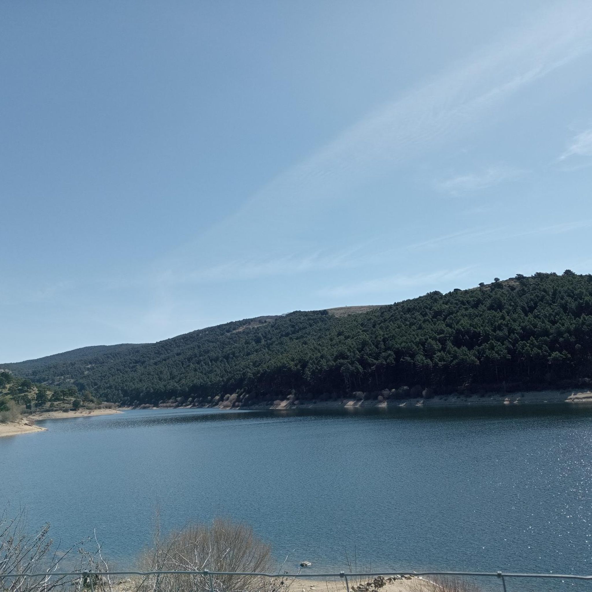
Road cycling routes around Embalse de la Aceña are situated at a high altitude, approximately 1500 meters above sea level, within the Sierra Norte de Guadarrama Natural Park. The region is characterized by extensive pine forests and mountains, providing varied topography ideal for road cycling. This elevated setting offers challenging climbs and rewarding descents, with roads winding through diverse landscapes. The area is known for its tranquil environment, offering peaceful riding experiences.
Best road cycling routes around Embalse de la…
Last updated: May 15, 2026
33
riders
66.0km
03:51
1,460m
1,460m
Hard road ride. Very good fitness required. Some segments of this route may be unpaved and difficult to ride.
77
riders
102km
05:24
1,920m
1,920m
Hard road ride. Very good fitness required. Mostly well-paved surfaces and easy to ride.

Sign up for free
48
riders
60.3km
03:28
1,400m
1,400m
Hard road ride. Very good fitness required. Mostly well-paved surfaces and easy to ride.
4.0
(2)
49
riders
43.0km
02:23
890m
890m
Moderate road ride. Good fitness required. Mostly well-paved surfaces and easy to ride.
16
riders
101km
05:36
2,180m
2,180m
Hard road ride. Very good fitness required. Mostly well-paved surfaces and easy to ride.
Get access to more routes and recommendations from other explorers.
Sign up for free
Already have an account?
Our route recommendations are based on thousands of hikes, rides, and runs completed by other people on komoot.
Start today with a free account
Your next adventure awaits.
Login or Signup
Tips from the Community

Quiet village with a fountain, all of these routes are highly recommended.
0
0

The hardest section is the beginning, then it goes easy until the last 3km when it gets harder again. Be patient with the traffic, if you go on the weekend there are a lot of motorcycles.
0
0

The Hermitage of Santisimo Cristo de Gracia may date from the late 15th century. The ranchers' brotherhood was founded in this hermitage.
1
0
Historical building of an old convent from the 16th century.
1
0

Town located at the foot of Las Machotas and the Cruz Verde port, in the vicinity of San Lorenzo de El Escorial. From the quarry located there, the granite used to build the monastery of the town located on the other side of Pico del Fraile was extracted.
0
0

The Cruz Verde pass is a mountain pass in the Guadarrama mountain range (Central system), located at 1256 m altitude, between the municipalities of San Lorenzo de El Escorial and Robledo de Chavela (Community of Madrid, Spain). It is flanked by the elevations of Las Machotas (1466 m a.s.l.), which extend in its eastern part, and Cerro de San Benito (1626 m a.s.l.), which rises to the west.
0
0

Robledo de Chavela is a crossroads between the high mountains of Guadarrama and the western mountains of Madrid. It is an ideal place for a stop along the way and to get supplies.
0
1
With its 125 meters, the Cruz Verde port is one of the best known by cyclists in Madrid. You can climb three totally different slopes, both in length and difficulty. From Zarzalejo, San Lorenzo de El Escorial or Robledo de Chavela. On weekends there are many motorcycles on the course.
1
0
Frequently Asked Questions
How many road cycling routes are available around Embalse de la Aceña?
There are over 20 road cycling routes available around Embalse de la Aceña. These routes offer a mix of moderate and difficult challenges, with 11 moderate and 13 difficult options to choose from.
What is the typical terrain like for road cycling in Embalse de la Aceña?
The terrain around Embalse de la Aceña is characterized by its high altitude, around 1500 meters above sea level, within the Sierra Norte de Guadarrama Natural Park. You can expect varied topography with extensive pine forests and mountains, leading to challenging climbs and rewarding descents. Roads often wind through diverse landscapes, offering a tranquil riding experience.
Are there any challenging climbs for experienced road cyclists in the area?
Yes, the region is known for significant elevation gains and challenging climbs. Routes like Puerto de la Lancha – Santa María de la Alameda loop from Santa María de la Alameda feature sustained climbs and panoramic views. The broader Sierra de Guadarrama region, which encompasses Embalse de la Aceña, is also known for mountain passes such as Navacerrada Pass and Guadarrama Pass, indicating the type of demanding terrain available.
What kind of views can I expect along the road cycling routes?
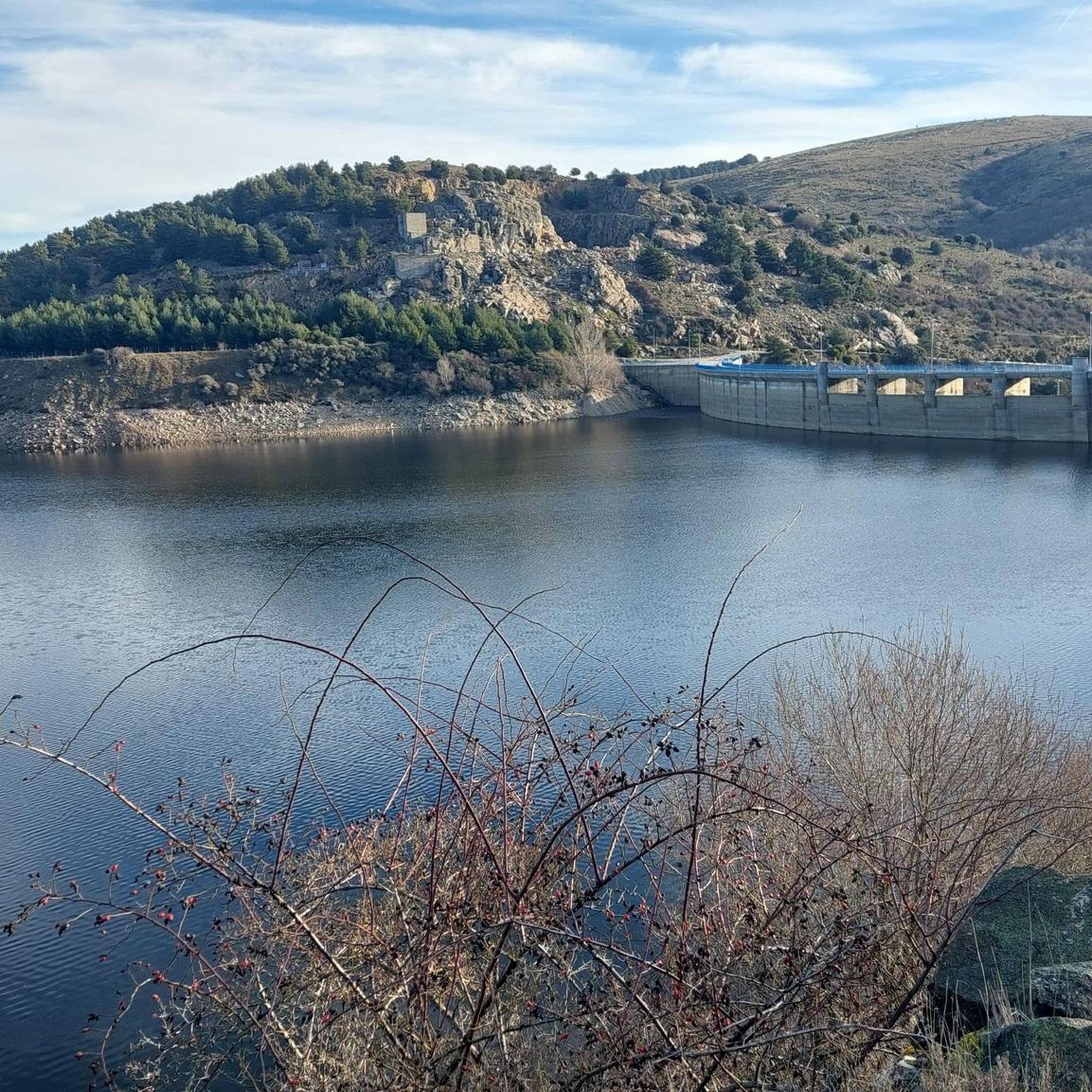
Road cycling routes in Embalse de la Aceña offer stunning scenic vistas. The area promises unique, tranquil views, with picturesque routes winding through forests and mountains. The Mirador del Embalse de la Aceña provides unbeatable views of the reservoir and the surrounding Abulense mountains, making for a rewarding cycling experience.
What is the best time of year to go road cycling around Embalse de la Aceña?
Given its high altitude location (around 1500 meters above sea level), the best time to cycle is typically during the warmer months, from late spring to early autumn. This avoids the colder temperatures and potential snow that can affect mountain passes in winter, ensuring more pleasant and safer riding conditions.
Are there any family-friendly road cycling options in Embalse de la Aceña?
While many routes feature significant elevation and are rated moderate to difficult, the tranquil environment and less traffic on some roads can be suitable for families with older, more experienced children. However, specific easy, flat routes explicitly designed for young families are not prominently featured in the data. It's best to check individual route profiles for elevation and distance to determine suitability.
Can I bring my dog along on road cycling routes in Embalse de la Aceña?
While the reservoir itself is known for being dog-friendly, allowing dogs to swim and run freely, road cycling routes typically follow paved roads. If your dog is accustomed to running alongside a bike or can be safely carried, it might be possible. However, always prioritize your pet's safety and local regulations regarding dogs on public roads.
Are there circular road cycling routes available?
Yes, many of the routes around Embalse de la Aceña are designed as loops. For example, the Santa María de la Alameda – Cruz Verde Pass loop from Camping Valle Enmedio and the La Escondida – Santa María de la Alameda loop from Santa María de la Alameda are popular circular options, allowing you to start and finish at the same point.
What do other road cyclists enjoy most about cycling in Embalse de la Aceña?
The area is highly rated by the komoot community, with an average score of 4.2 stars from over 10 reviews. Cyclists often praise the varied topography, the challenging climbs, and the rewarding descents through extensive pine forests and mountains. The tranquil environment, offering a peaceful riding experience away from heavy traffic, is also a frequently highlighted aspect.
Where can I find parking for road cycling in Embalse de la Aceña?
The region is accessible, and the proximity to the urban center of Peguerinos (just 100 meters from the reservoir) suggests that parking facilities would be available in or near the town. For specific routes, it's advisable to check the starting points for designated parking areas, which are often found near popular trailheads or local amenities.
Are there cafes or pubs near the road cycling routes for a break?
The town of Peguerinos is very close to Embalse de la Aceña, offering easy access to amenities after a ride. While specific cafes or pubs on the routes themselves are not detailed, you can expect to find establishments in Peguerinos where you can refuel and relax.
What is the longest road cycling route in the area?
Among the listed routes, the Cruz Verde Pass – Puerto de Arrebatacapas loop from Santa María de la Alameda is one of the longest, covering 63.2 miles (101.7 km). Another extensive option is the Puerto de la Lancha – Santa María de la Alameda loop from Santa María de la Alameda, which is 62.9 miles (101.3 km).
Most popular routes around Embalse de la Aceña

Get inspired with the komoot mobile app


Explore more
Browse the best Road cycling routes in other regions.
