The best walks and hikes around Embalse de la Aceña
4.6
(876)
4,544
hikers
175
hikes
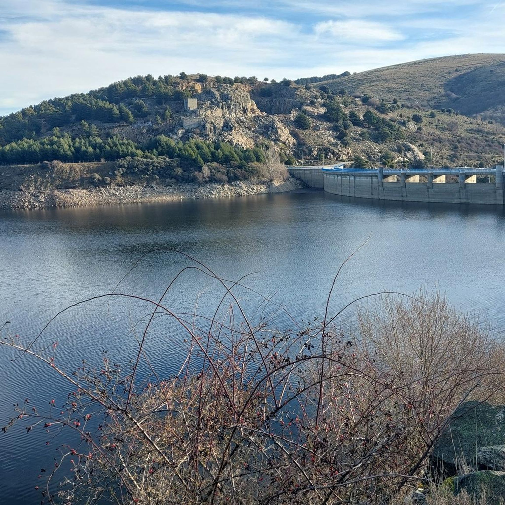
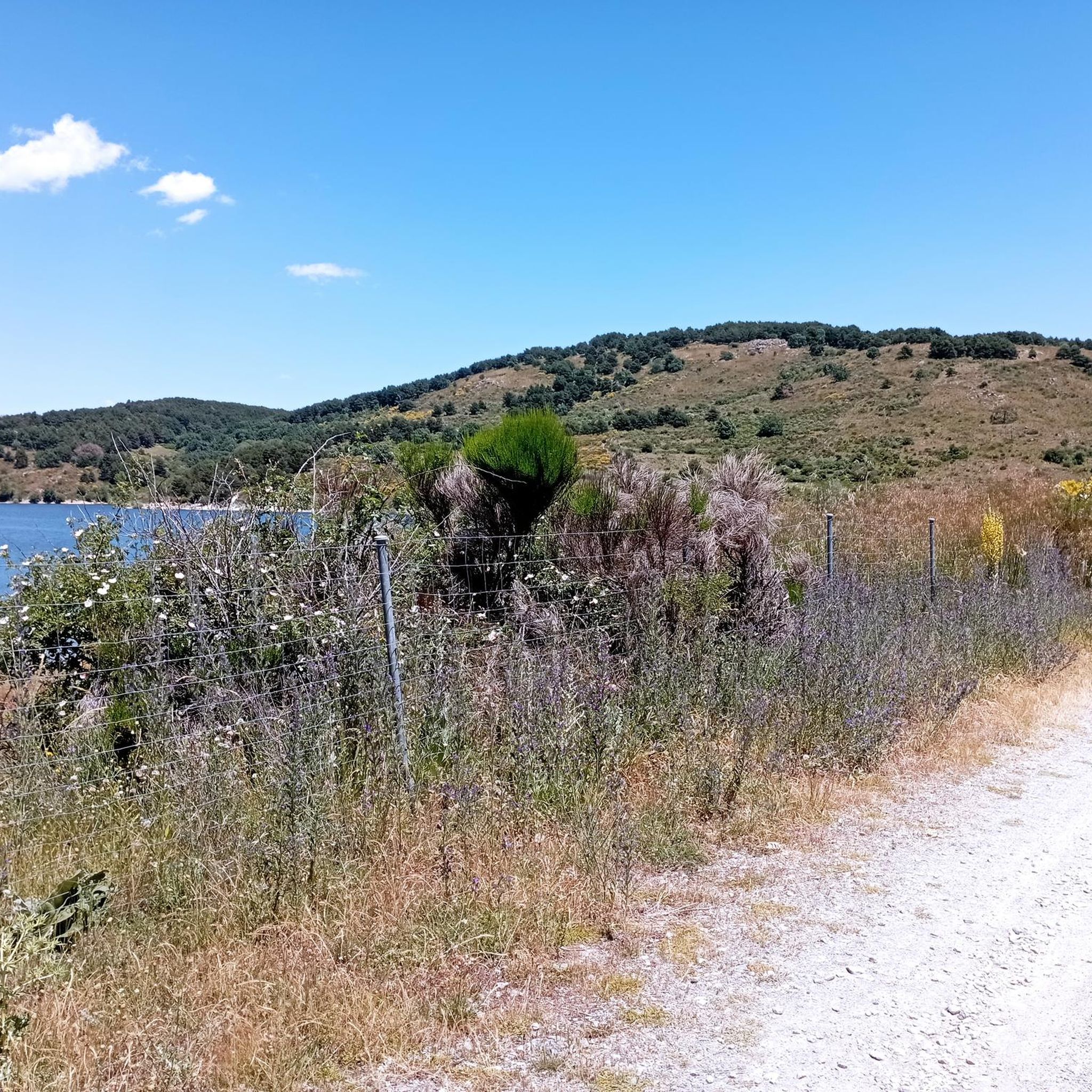
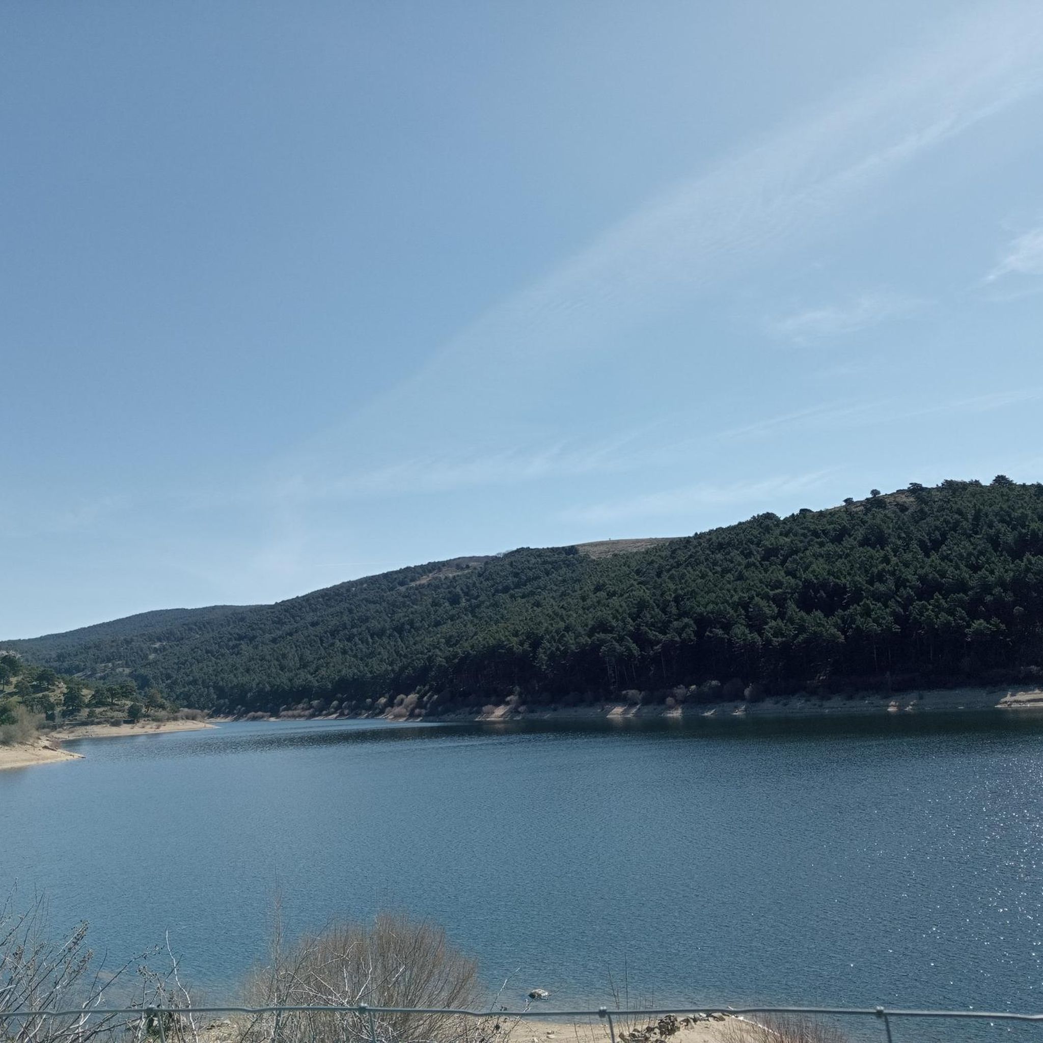
Hiking around Embalse de la Aceña offers trails within the Sierra de Guadarrama, specifically in the Natural Park Sierra Norte del Guadarrama. The region is characterized by mountainous surroundings, picturesque valleys, and lush green hills, centered around the tranquil Embalse de la Aceña, which impounds the Aceña River. The trails often traverse areas with autochthonous vegetation, providing diverse natural environments for exploration.
Best hiking trails around Embalse de la Aceña
- The most popular hiking route is Embalse de la Aceña…
Last updated: July 1, 2026
Moderate hike. Good fitness required. Mostly accessible paths. Sure-footedness required.
4.9
(8)
41
hikers
17.4km
05:08
370m
370m
Hard hike. Very good fitness required. Mostly accessible paths. Sure-footedness required.

Sign up for free
4.5
(2)
10
hikers
10.4km
02:50
140m
140m
Moderate hike. Good fitness required. Easily-accessible paths. Suitable for all skill levels.
5.0
(1)
4
hikers
Moderate hike. Good fitness required. Mostly accessible paths. Sure-footedness required.
3.9
(16)
96
hikers
Moderate hike. Great for any fitness level. Mostly accessible paths. Sure-footedness required.
Get access to more routes and recommendations from other explorers.
Sign up for free
Already have an account?
Our route recommendations are based on thousands of hikes, rides, and runs completed by other people on komoot.
Start today with a free account
Your next adventure awaits.
Login or Signup
Tips from the Community

The views are spectacular; it's worth stopping by and visiting this sculptural and architectural gem of our country.
0
0
Monumental funerary complex designed in 1940 by Pedro Muguruza and Diego Méndez. Its impressive sculptures were designed by Juan de Ábalos y Taborda. The cross, located on the Risco de la Nava, is 150 meters high with arms measuring 24 meters each. It is the tallest cross in Christendom.
1
0

Sunset walk
0
0
Views of the reservoir at sunset
0
0

Nice monument to Draeselia, easy to see from the road
1
0

The port of Malagón, also known as Alto de Abantos or Puerto de San Juan de Malagón, is a mountain pass located in the southwest area of the Sierra de Guadarrama. It has an altitude of 1590 meters and separates the Spanish provinces of Madrid and Ávila.
0
0

Beautiful waterfall that, although it can be avoided, is always nice to see its waters fall from the highest parts of the Sierra on its southern side. When it's hot, a great place to cool off.
1
1

Legendary peak that not only has magnificent views but also plays a great role in the history of sports in Spain.
0
0
Frequently Asked Questions
Where is Embalse de la Aceña located?
Embalse de la Aceña is situated in Peguerinos, within the province of Ávila, Castilla y León, Spain. It's nestled in the scenic Sierra de Guadarrama, specifically within the Natural Park Sierra Norte del Guadarrama.
How many hiking trails are available around Embalse de la Aceña?
There are over 170 hiking routes around Embalse de la Aceña, offering a wide range of options for different skill levels. This includes 23 easy trails, 112 moderate trails, and 41 difficult trails.
Are there any easy or family-friendly hiking routes around the reservoir?
Yes, the area offers 23 easy trails suitable for families or those seeking a relaxed walk. A popular option is a 10km circular route around the reservoir itself, with a semi-paved section that is accessible. While not explicitly easy, the Aceña Reservoir – Peguerinos loop from Peguerinos is a moderate 6.5-mile (10.4 km) trail that takes about 2 hours 50 minutes, offering a pleasant experience through the natural landscape.
Are dogs allowed on the hiking trails?
The region is generally welcoming to outdoor activities with pets. The first section of the 10km circular route around the reservoir is an earthen path suitable for hiking with dogs, allowing you to enjoy the natural surroundings with your companion.
Are there any circular hiking routes around Embalse de la Aceña?
Yes, circular routes are a highlight of the area. A well-known option is the 10km circular route that completely encircles the reservoir. For a longer moderate challenge, consider the Embalse de la Aceña — circular desde Peguerinos: Parque Nacional Sierra de Guadarrama, an 8.1-mile (13.1 km) trail.
What kind of landscapes can I expect to see while hiking here?
Hikers can expect diverse landscapes, including the tranquil waters of the Embalse de la Aceña, picturesque mountain valleys, and lush green hills characteristic of the Sierra de Guadarrama. Trails often traverse areas with native vegetation, offering beautiful natural scenery.
What do other hikers say about the trails in Embalse de la Aceña?
The routes in Embalse de la Aceña are highly rated by the komoot community, with an average score of 4.5 stars from over 800 reviews. Hikers often praise the reservoir views, mountainous terrain, and forested paths, noting the variety of options for different ability levels.
Are there any waterfalls to see on the trails?
Yes, some routes feature waterfalls. For example, the Ascent to Cerro de la Cabeza via the Cascada del Hornillo — circular from Mirador del río Aceña is a moderate 8.7-mile (14 km) hike that includes the Cascada del Hornillo (Hornillo Waterfall).
What wildlife might I spot while hiking?
The area, being within a natural park, boasts a healthy ecosystem. While specific fauna details are not extensive, the region is known for the beautiful Graellsia isabelae butterfly, considered one of the most beautiful in the world, which was discovered in the area.
Is there parking available for hikers?
The Embalse de la Aceña is conveniently located, with some areas just 100 meters from urban centers like Peguerinos. This proximity generally implies accessible parking options in or near these towns, serving as starting points for many trails.
What is a challenging hike in the area?
For a more challenging experience, consider the View of La Aceña Reservoir – Peguerinos loop from Peguerinos. This is a difficult 10.8-mile (17.4 km) path with an elevation gain of 369 meters, offering expansive views of the reservoir and surrounding mountains.
Can I reach Embalse de la Aceña by public transport?
While the region is accessible, specific public transport routes directly to all trailheads are not detailed. However, its proximity to urban centers like Peguerinos suggests that local bus services might connect to nearby towns, from which some trailheads could be reached.
Most popular routes around Embalse de la Aceña

Get inspired with the komoot mobile app


Explore more
Browse the best Hikes in other regions.
