The best running trails around Whittlesford
4.5
(169)
14,677
runners
538
runs
Whittlesford jogging routes offer a diverse experience through the low-lying landscape of Cambridgeshire. The region is characterized by gentle terrain, with chalk and alluvium along the River Cam (Granta) providing generally flat paths. Joggers can explore picturesque riverside routes, historical common grazing areas like The Moor, and established nature trails that wind through local ecology and woodland.
Best jogging routes around Whittlesford
- The most popular jogging route is Whittlesford Church – The Tickell Arms loop from Sawston War Memorial, a 4.5 miles (7.3 km) trail that takes 45 minutes to complete, offering views along the River Cam.
- Another top favourite among local runners is Cambridge Road, Sawston – Victor Victoria Coffee loop from Sawston War Memorial, a moderate 4.7 miles (7.5 km) path. This route features accessible paths through the local village surroundings.
- Local runners also love the Cambridge Road, Sawston – Wandlebury Country Park loop from Sawston War Memorial, a 11.3 miles (18.2 km) trail leading through varied terrain including open fields and woodland, often completed in about 1 hour 53 minutes.
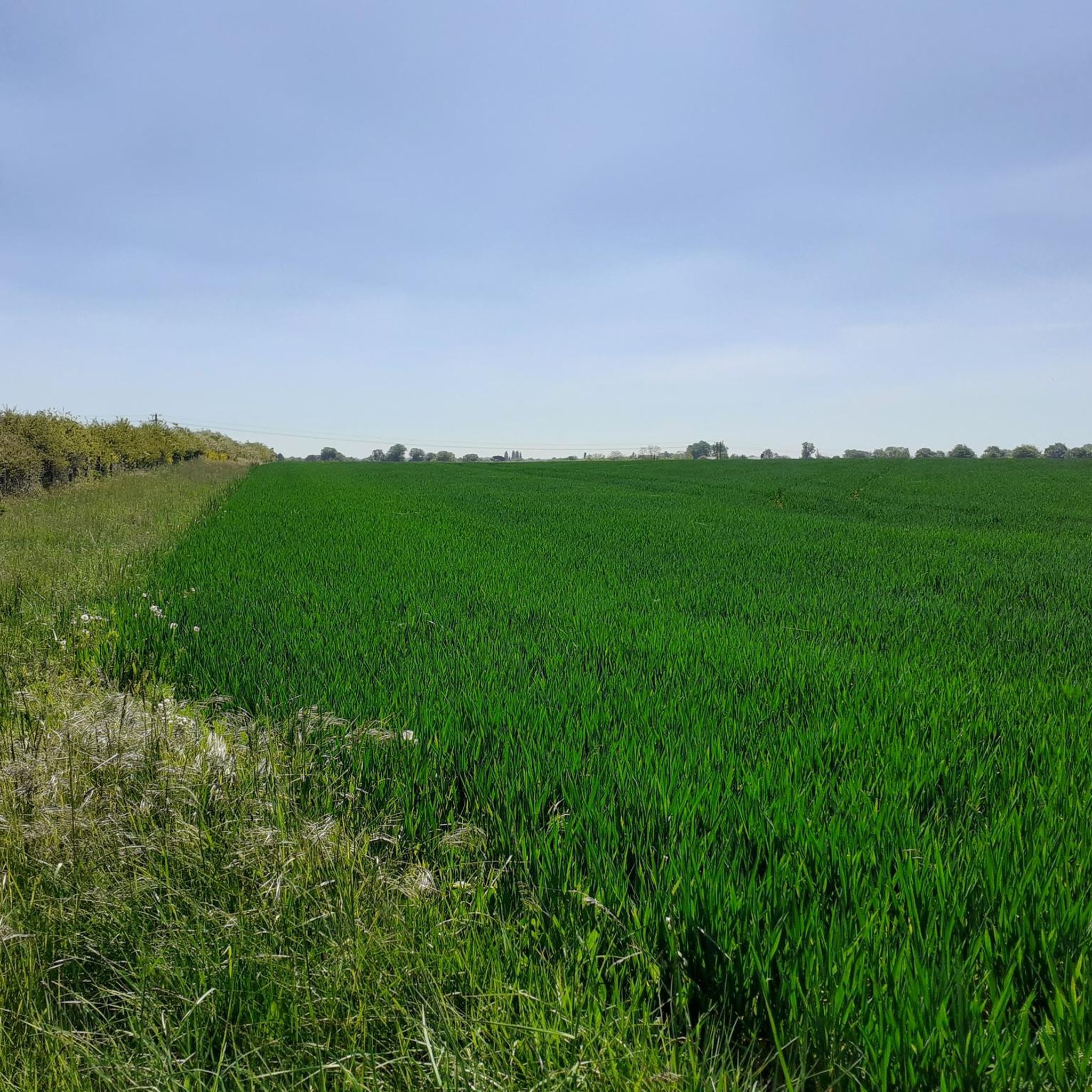
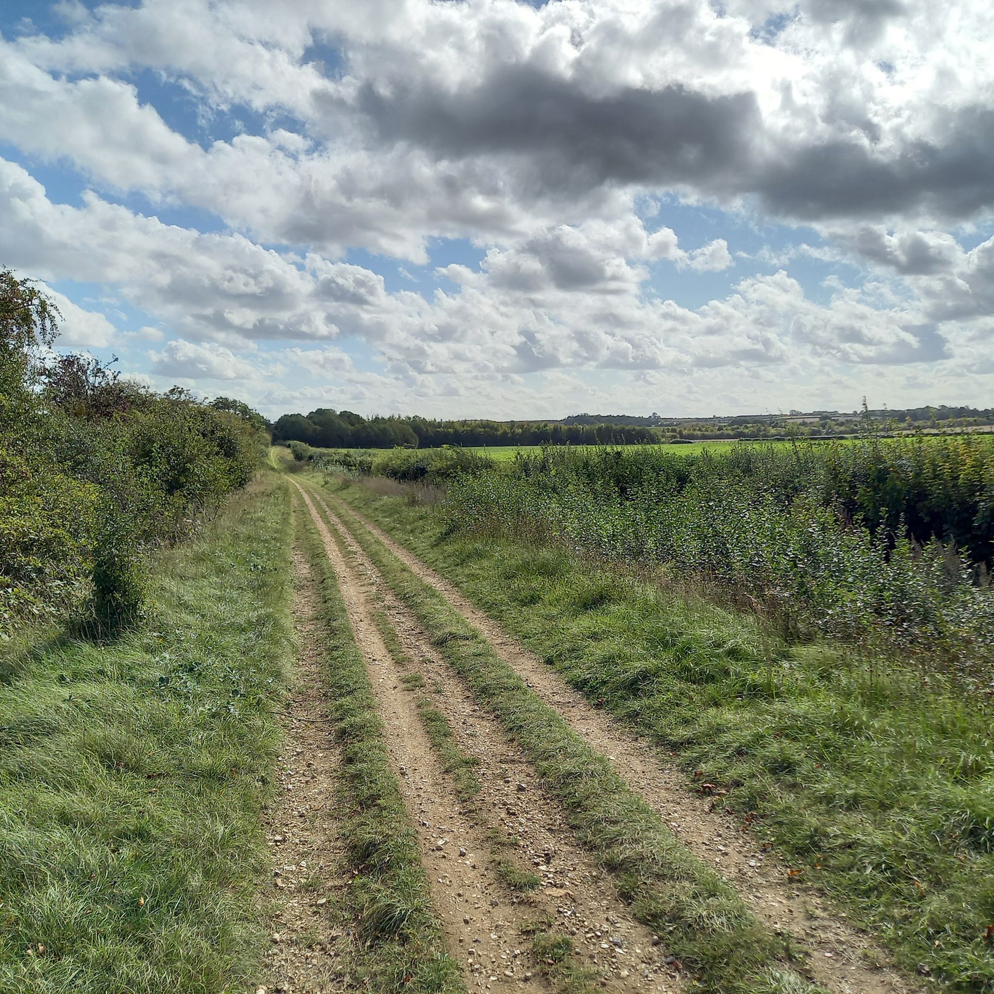
- Jogging around Whittlesford is defined by riverside paths along the River Cam, open meadows, and small wooded areas. The network of routes offers options for easy, moderate, and more difficult running, catering to different ability levels.
- The routes in Whittlesford are highly rated by the komoot community with an average score of 4.5 stars from over 130 reviews. More than 15,000 runners have used komoot to explore Whittlesford's varied terrain.
Last updated: August 18, 2026
26
runners
Moderate run. Good fitness required. Mostly paved surfaces. Suitable for all skill levels.
23
runners
Moderate run. Good fitness required. Mostly paved surfaces. Suitable for all skill levels.

Sign up for free
20
runners
Moderate run. Good fitness required. Mostly paved surfaces. Suitable for all skill levels.
16
runners
Hard run. Very good fitness required. Mostly paved surfaces. Suitable for all skill levels.
12
runners
5.11km
00:32
20m
20m
Moderate run. Good fitness required. Mostly paved surfaces. Suitable for all skill levels.
Get access to more routes and recommendations from other explorers.
Sign up for free
Already have an account?
Our route recommendations are based on thousands of hikes, rides, and runs completed by other people on komoot.
Start today with a free account
Your next adventure awaits.
Login or Signup


Tips from the Community

Nice stretch of cycleway to properly get you out of the grasp of Cambridge. Tarmac throughout bar one very short stretch of gravel through the churchyard at Whittlesford. Do be mindful of other users as not particularly wide. I was riding mid morning on a Monday and was largely empty, not sure what it would be like at busier times.
0
0

A gastropub rather than somewhere for a sandwich or bar snacks.
0
0
Standard convenience store like you find nearly everywhere.
0
0

Beware of dog walkers! I've been knocked off my bike on occasions by stray dogs looking for their owners who totally oblivious to cyclists.
0
0
Near the crest of the Gog Magog Hills just south of Cambridge. Fast traffic on the short dual carriageway section past Wandlebury but there is a shared cycle path if you prefer.
0
0
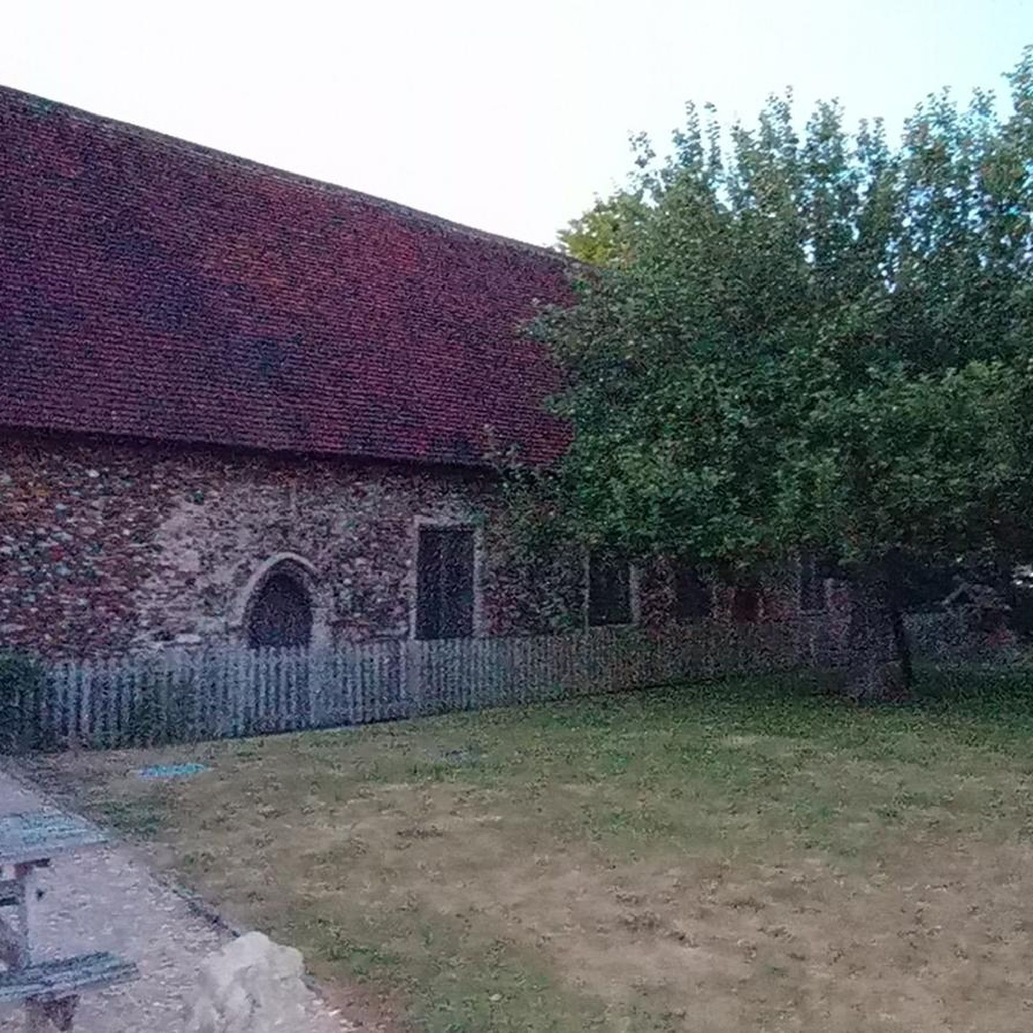
Standard village church. Not easily accessible in road cleats.
0
0
Independent cafe, sister to the original one in Newmarket (www.komoot.com/highlight/3294821)
0
0

Short yet sweet little cycle path, just remember to slow down on each end, and don't forget to say hello to the horses that often roam the field running adjacent to the path.
0
0
Frequently Asked Questions
How many running routes are available in Whittlesford?
Whittlesford offers a wide selection of paths for runners, with over 560 routes available on komoot. These range from easy strolls to more challenging long-distance runs, catering to various fitness levels.
What kind of terrain can I expect on jogging trails in Whittlesford?
The terrain in Whittlesford is generally low-lying and gentle, characterized by chalk and alluvium along the River Cam (Granta). You'll find picturesque riverside paths, historical common grazing areas like The Moor, and established nature trails. The area's relatively flat relief, mostly between 50 and 125 feet above sea level, makes it suitable for comfortable running.
Are there any easy running routes suitable for beginners or a relaxed jog?
Yes, Whittlesford has over 50 easy running routes. Many of these follow the gentle riverside paths or established nature trails, offering a pleasant experience without significant elevation changes. For example, the routes designed by Eco Whittlesford often include short rambles along pavements and sealed paths.
Can I find circular running routes in Whittlesford?
Absolutely. Many of the running routes in Whittlesford are designed as loops, allowing you to start and finish in the same location. An example is the Running loop from Sawston War Memorial, which is a moderate 3.2-mile (5.1 km) path.
What are some scenic highlights or natural features I might encounter on a run?
Whittlesford's running routes often feature the picturesque River Cam (Granta) with its riverside paths. You might also explore areas like The Moor, Eco Whittlesford Nature Trails, and The Millennium Wood. The diverse natural environment includes varied bird species, wildflowers, and trees, enhancing the scenic experience.
Are there any longer running trails for experienced runners?
Yes, for those looking for a longer challenge, Whittlesford offers several routes. A notable option is the Cambridge Road, Sawston – Wandlebury Country Park loop from Sawston War Memorial, an 11.3-mile (18.2 km) trail that leads through varied terrain including open fields and woodland.
What do other runners say about the trails in Whittlesford?
The running routes in Whittlesford are highly regarded by the komoot community, boasting an average rating of 4.5 stars from over 130 reviews. More than 15,000 runners have used komoot to explore the area, often praising the varied terrain, picturesque riverside paths, and accessible nature trails.
Are there any specific landmarks or attractions near the running routes?
While running, you might pass by various points of interest. For example, the DNA Path Rainbow Cycleway is a nearby highlight. Other attractions in the broader area include historical sites like King's College Chapel and the Mathematical Bridge, Queens' College, though these might require a slight detour from the immediate village routes.
Is Whittlesford suitable for family-friendly jogs?
Yes, the generally flat and gentle landscape of Whittlesford, particularly along the River Cam and the established nature trails, makes it suitable for family-friendly jogs. Many of the easier routes are accessible and provide a pleasant outdoor experience for all ages.
Are there any dog-friendly running routes in Whittlesford?
Many of the public footpaths and trails in Whittlesford are suitable for running with dogs, provided they are kept under control, especially near livestock. The riverside paths and open areas like The Moor offer good opportunities for you and your canine companion to enjoy the outdoors.
What is the best time of year to go running in Whittlesford?
Whittlesford's low-lying landscape makes it enjoyable for running throughout much of the year. Spring and autumn offer pleasant temperatures and beautiful scenery with wildflowers or changing leaves. Even in winter, the relatively flat terrain means routes are generally accessible, though conditions can vary.
How can I access the running trails in Whittlesford by public transport?
Whittlesford is served by Whittlesford Parkway railway station, which provides good access to the area. Many routes, such as the Whittlesford Church – Sawston–Whittlesford Cycleway loop from Whittlesford Parkway, start conveniently close to the station, allowing you to begin your run directly upon arrival.
Most popular routes around Whittlesford
Most popular attractions around Whittlesford

Get inspired with the komoot mobile app


Explore more
Browse the best Running Trails & Routes in other regions.
