The best cycling routes around Embalse de Charco Redondo
4.6
(93)
651
riders
17
rides
Touring cycling around Embalse de Charco Redondo offers routes through a landscape characterized by the reservoir itself, surrounded by rolling hills and varied terrain. The region features significant elevation changes, with routes climbing several hundred meters, indicating a challenging yet rewarding environment for cyclists. This area provides opportunities to explore both open vistas and more secluded paths, often with views of the water body.
Best touring cycling routes around Embalse de Charco Redondo
- The most popular touring cycling route is MTB Center Montecoche Area loop from La Gitana, a 20.7 miles (33.3 km) trail that takes 3 hours 50 minutes to complete. This difficult route explores the Montecoche Area with notable elevation gains.
- Another top favourite among local touring cyclists is MTB Center Montecoche Area – Panoramic view from Montecoche loop from La Gitana, a moderate 15.6 miles (25.1 km) path. This route offers panoramic views from Montecoche, winding through the local landscape.
- Local touring cyclists also love the Montecoche loop from Bar Restaurante Venta el Frenazo, a 14.6 miles (23.5 km) trail leading through the Montecoche area, often completed in about 1 hour 57 minutes.
- Touring cycling around Embalse de Charco Redondo is defined by reservoir views, hilly terrain, and varied natural landscapes. The network offers options for easy, moderate, and difficult routes, catering to different ability levels.
- The routes in Embalse de Charco Redondo are highly rated by the komoot community with an average score of 4.7 stars from over 100 reviews. More than 900 touring cyclists have used komoot to explore Embalse de Charco Redondo's varied terrain.
Last updated: May 23, 2026
36
riders
56.3km
05:47
1,180m
1,180m
Hard bike ride. Very good fitness required. Mostly paved surfaces. Suitable for all skill levels.
58
riders
61.6km
05:40
1,090m
1,090m
Hard bike ride. Very good fitness required. Mostly paved surfaces. Suitable for all skill levels.

Sign up for free
6
riders
33.3km
03:05
610m
610m
Hard bike ride. Very good fitness required. Mostly paved surfaces. Suitable for all skill levels.
11
riders
26.7km
02:46
530m
530m
Hard bike ride. Very good fitness required. Mostly paved surfaces. Suitable for all skill levels.
5.0
(1)
12
riders
23.5km
01:57
440m
440m
Moderate bike ride. Good fitness required. Mostly paved surfaces. Suitable for all skill levels.
Get access to more routes and recommendations from other explorers.
Sign up for free
Already have an account?
Our route recommendations are based on thousands of hikes, rides, and runs completed by other people on komoot.
Start today with a free account
Your next adventure awaits.
Login or Signup

Tips from the Community

The construction of the Casa Moriscos is a replica of the typical rural house of the inhabitants of the countryside. Its structure is simple and has remained almost identical since the earliest times. They were built with natural elements such as stone and heather that they got from nature.
0
0

Very popular area for mountain biking due to its numerous tracks and paths that offer multiple combinations of routes, always accompanied by good views and a privileged environment.
2
0

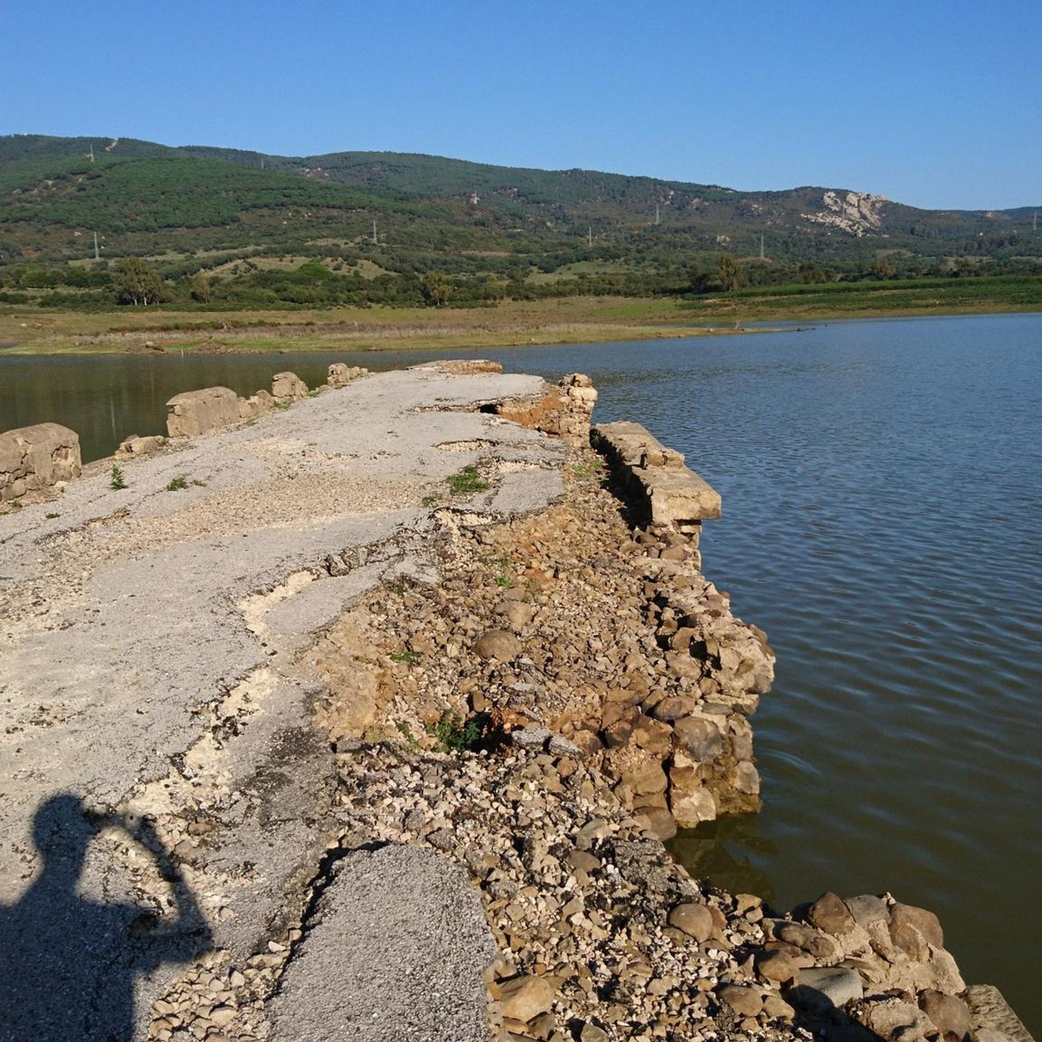
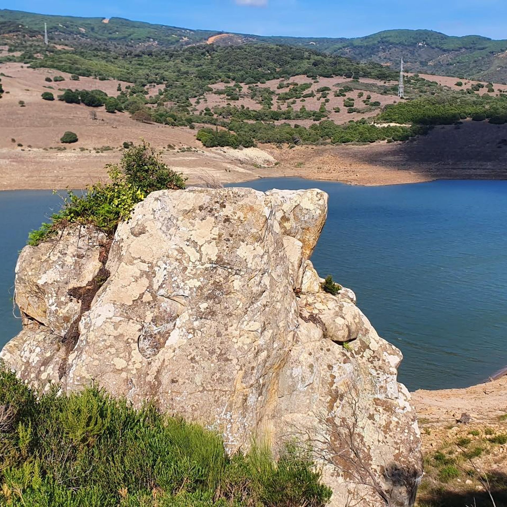
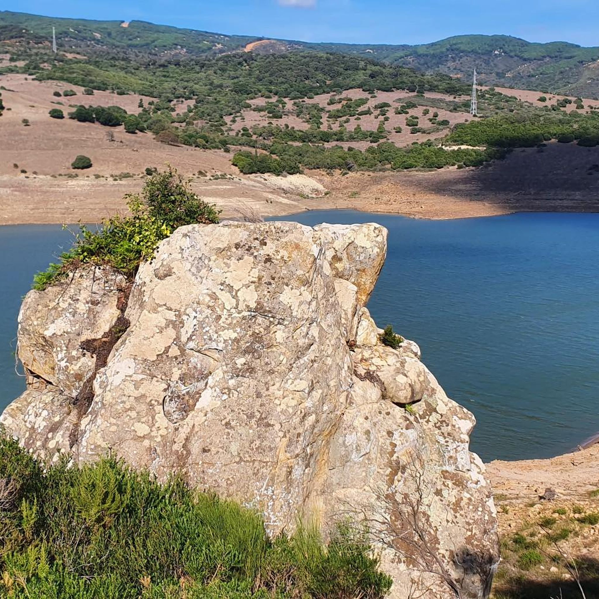
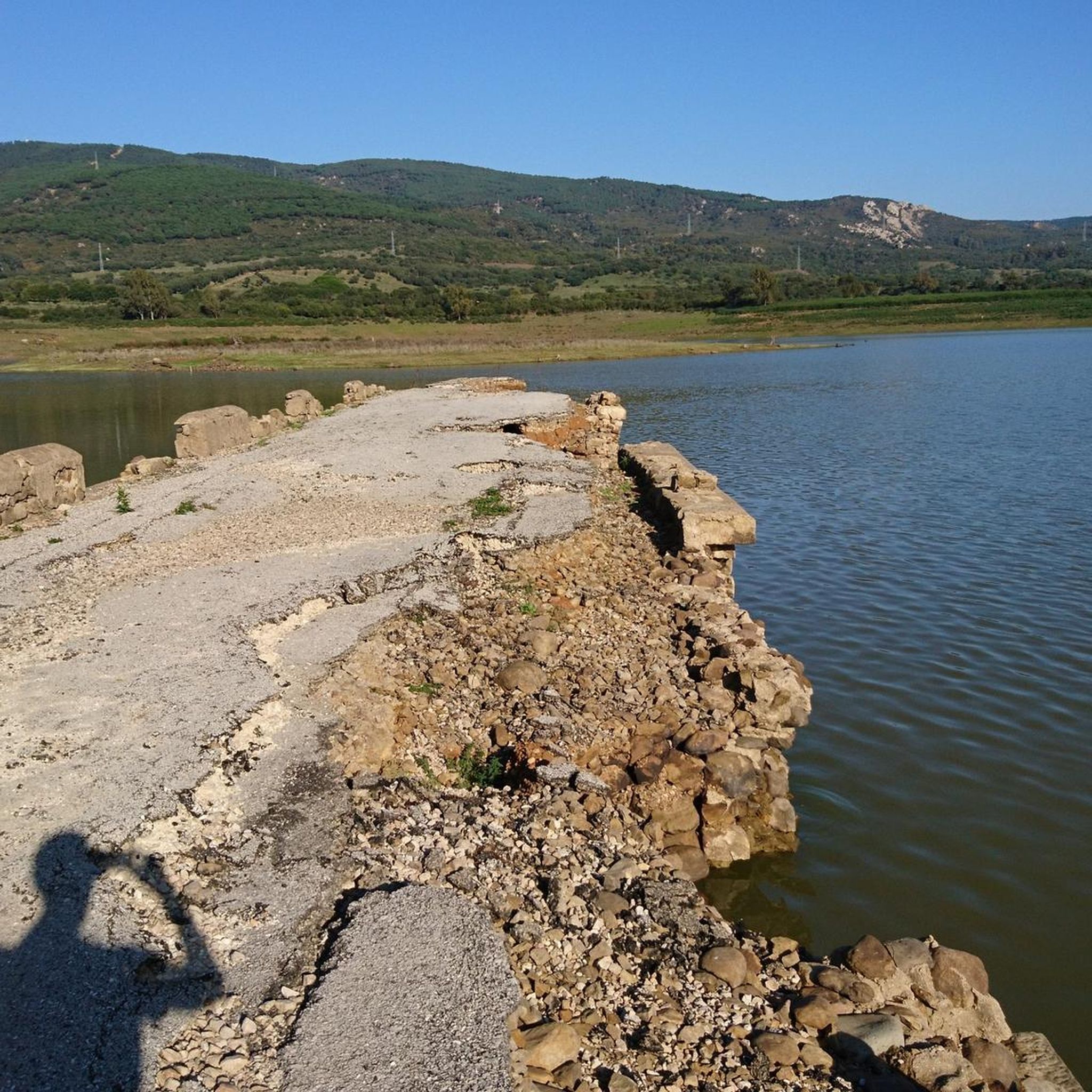
Views of the Charco Redondo reservoir (and the A-381 road that crosses it) and peaks of the Sierra del Niño
0
0
A 20 km cycling lane that passes through the east and north of the Charco Redondo reservoir
0
0

beautiful place
0
1
Frequently Asked Questions
How many touring cycling routes are available around Embalse de Charco Redondo?
There are 18 touring cycling routes around Embalse de Charco Redondo, offering a diverse range of experiences for cyclists of all levels.
Are there any easy touring cycling routes suitable for beginners or families?
Yes, the region offers 4 easy touring cycling routes. These paths are generally less demanding, making them suitable for beginners or families looking for a relaxed ride. While specific family-friendly routes aren't detailed in the provided data, easy routes are typically a good starting point.
What kind of terrain can I expect on the touring cycling routes around Embalse de Charco Redondo?
The terrain around Embalse de Charco Redondo is characterized by hilly landscapes and varied natural environments, often with significant elevation changes. You'll encounter reservoir views, open vistas, and more secluded paths, providing a challenging yet rewarding experience.
Are there any challenging routes for experienced touring cyclists?
Absolutely. For experienced touring cyclists, there are 8 difficult routes available. An example is the MTB Center Montecoche Area loop from La Gitana, which covers 20.7 miles (33.3 km) with notable elevation gains, taking around 3 hours 50 minutes to complete.
What are some of the longer touring cycling routes in the area?
For longer rides, consider routes like the Montera del Torero – Celemín Footbridge loop from Hohler Felsen, which spans 51.1 miles (82.3 km) with over 900 meters of elevation gain. Another extensive option is the Ojén Trail – Facinas Village loop from Hohler Felsen, a 46.2 miles (74.4 km) route featuring over 1200 meters of ascent.
Are there any circular touring cycling routes around Embalse de Charco Redondo?
Many of the routes around Embalse de Charco Redondo are designed as loops, allowing you to start and finish at the same point. For instance, the Montecoche loop from Bar Restaurante Venta el Frenazo is a popular circular trail covering 14.6 miles (23.5 km) through the Montecoche area.
What do other touring cyclists say about the routes in Embalse de Charco Redondo?
The touring cycling routes in Embalse de Charco Redondo are highly regarded by the komoot community, with an average rating of 4.7 out of 5 stars from over 100 reviews. Cyclists often praise the varied terrain and the scenic views of the reservoir and surrounding hills.
When is the best time of year to go touring cycling in Embalse de Charco Redondo?
Given the region's characteristics, spring and autumn generally offer the most pleasant conditions for touring cycling, with milder temperatures. Summer can be quite warm, especially on routes with less shade, while winter might bring cooler, potentially wetter weather. Always check local forecasts before heading out.
Are there places to eat or drink near the cycling routes?
While specific cafes or pubs aren't detailed for every route, the starting point for the Montecoche loop from Bar Restaurante Venta el Frenazo suggests that amenities like restaurants are available in the vicinity of some routes, particularly near villages or main access points.
Is there parking available for cyclists accessing the routes?
Many touring cycling routes in the region start from accessible points, often near towns or specific landmarks, where parking facilities are typically available. For example, routes starting 'from La Gitana' or 'from Bar Restaurante Venta el Frenazo' imply accessible starting points where parking is likely to be found.
Can I reach the touring cycling routes using public transport?
Information on specific public transport links directly to every trailhead is not provided. However, larger towns or villages near Embalse de Charco Redondo may have bus services. It's advisable to research local public transport options to the closest towns to your chosen starting point.
Most popular routes around Embalse de Charco Redondo

Get inspired with the komoot mobile app


Explore more
Browse the best Cycling routes in other regions.
