The best MTB trails around Embalse de Charco Redondo
4.6
(304)
872
riders
10
rides
Mountain biking around Embalse de Charco Redondo offers a diverse landscape characterized by the reservoir itself, surrounding hills like Sierra de Montecoche, and varied natural trails. The region features a mix of open areas, natural trails, and some forested sections, providing a range of riding experiences. Elevations vary, with some routes including significant climbs and panoramic viewpoints over the reservoir and the wider Campo De Gibraltar area.
Best mountain bike trails around Embalse de Charco Redondo
- The most popular mountain…
Last updated: May 23, 2026
5.0
(5)
86
riders
56.3km
05:30
1,180m
1,180m
Hard mountain bike ride. Very good fitness required. Suitable for all skill levels.
4.7
(15)
28
riders
Easy mountain bike ride. Great for any fitness level. Suitable for all skill levels.

Sign up for free
5
riders
Moderate mountain bike ride. Good fitness required. Suitable for all skill levels.
5.0
(1)
4
riders
37.8km
03:17
730m
720m
Moderate mountain bike ride. Good fitness required. Advanced riding skills necessary.
4.0
(1)
32
riders
40.9km
03:56
710m
710m
Moderate mountain bike ride. Good fitness required. Suitable for all skill levels.
Get access to more routes and recommendations from other explorers.
Sign up for free
Already have an account?
Our route recommendations are based on thousands of hikes, rides, and runs completed by other people on komoot.
Start today with a free account
Your next adventure awaits.
Login or Signup

Tips from the Community

Family trip
0
0

There is no way through here!
0
0

Following the picturesque Sendero del Valdeinfierno we come across this crossing of the stream that bears his name. A very quiet place to take a break on your route and enjoy this beautiful place.
1
1
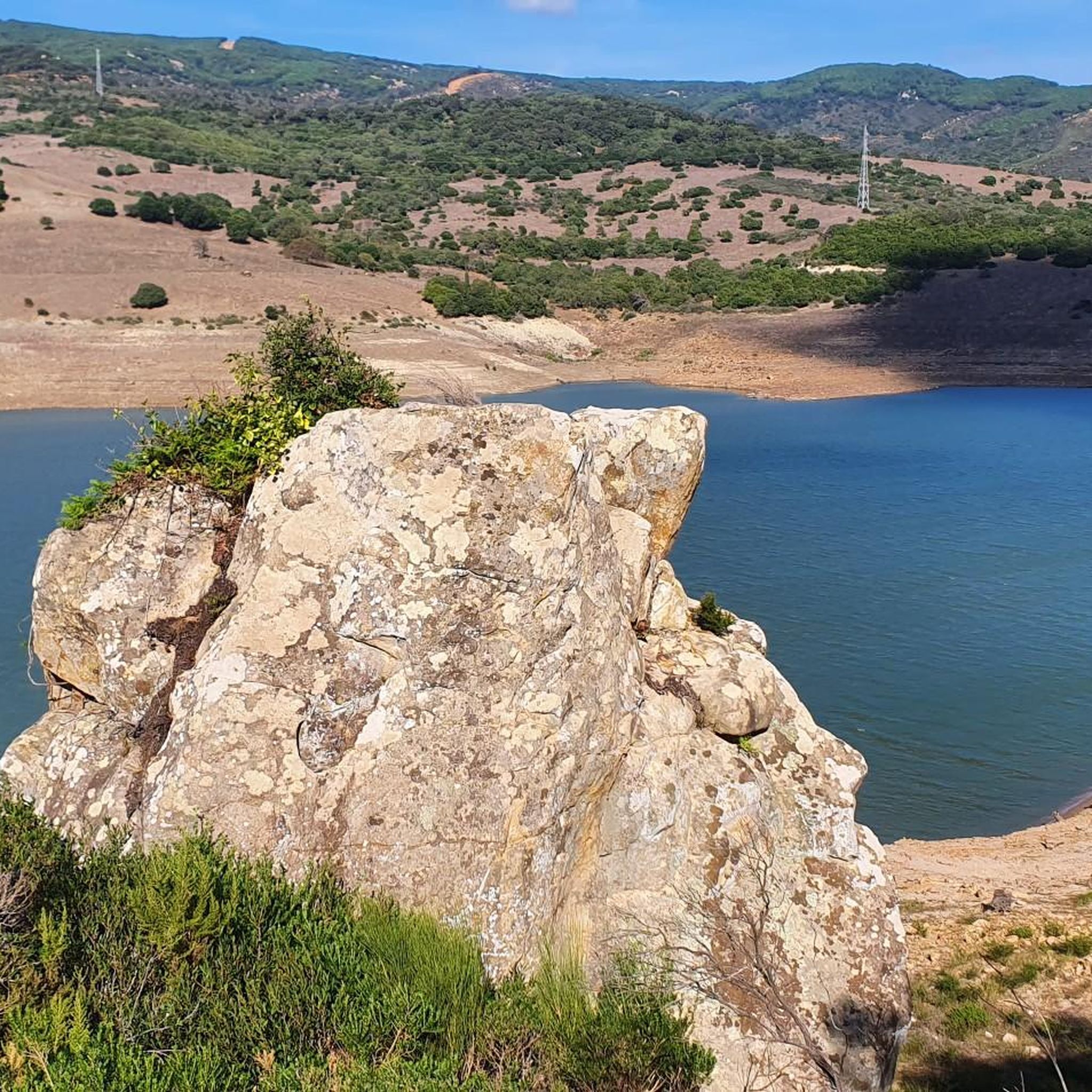
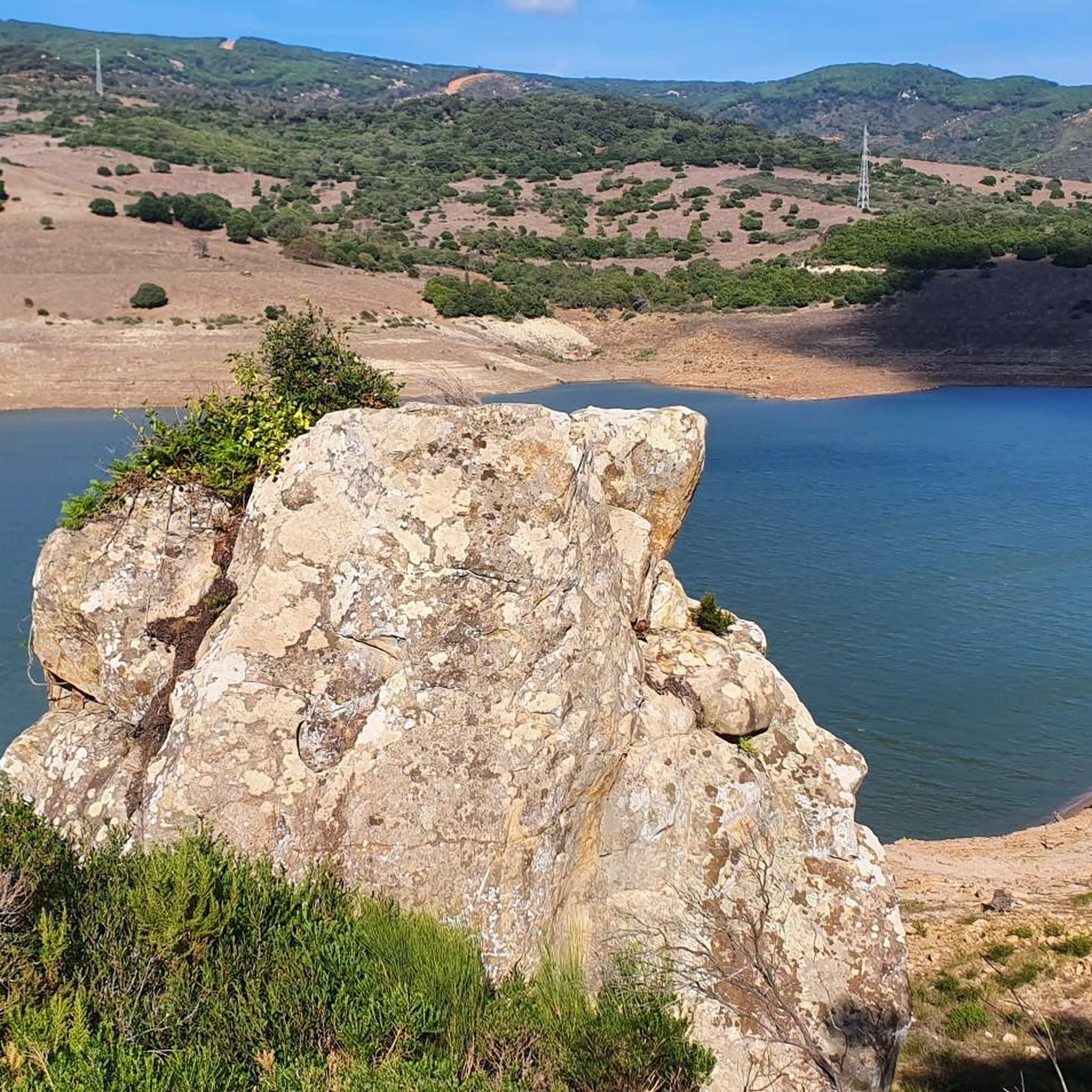
This curious rock formation attracts a lot of attention and its name is due to the imagination of some who have assimilated it with that shape.
2
0

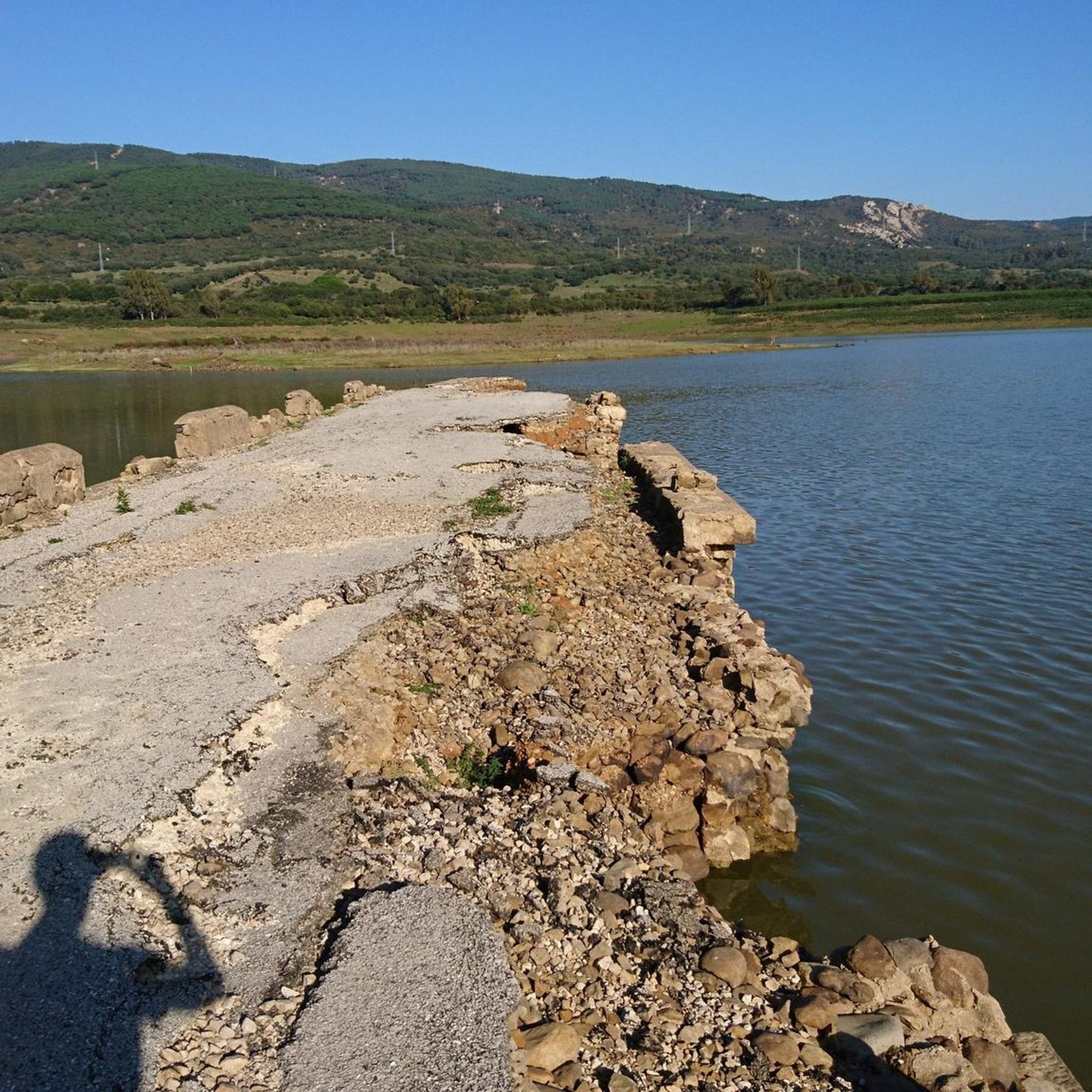
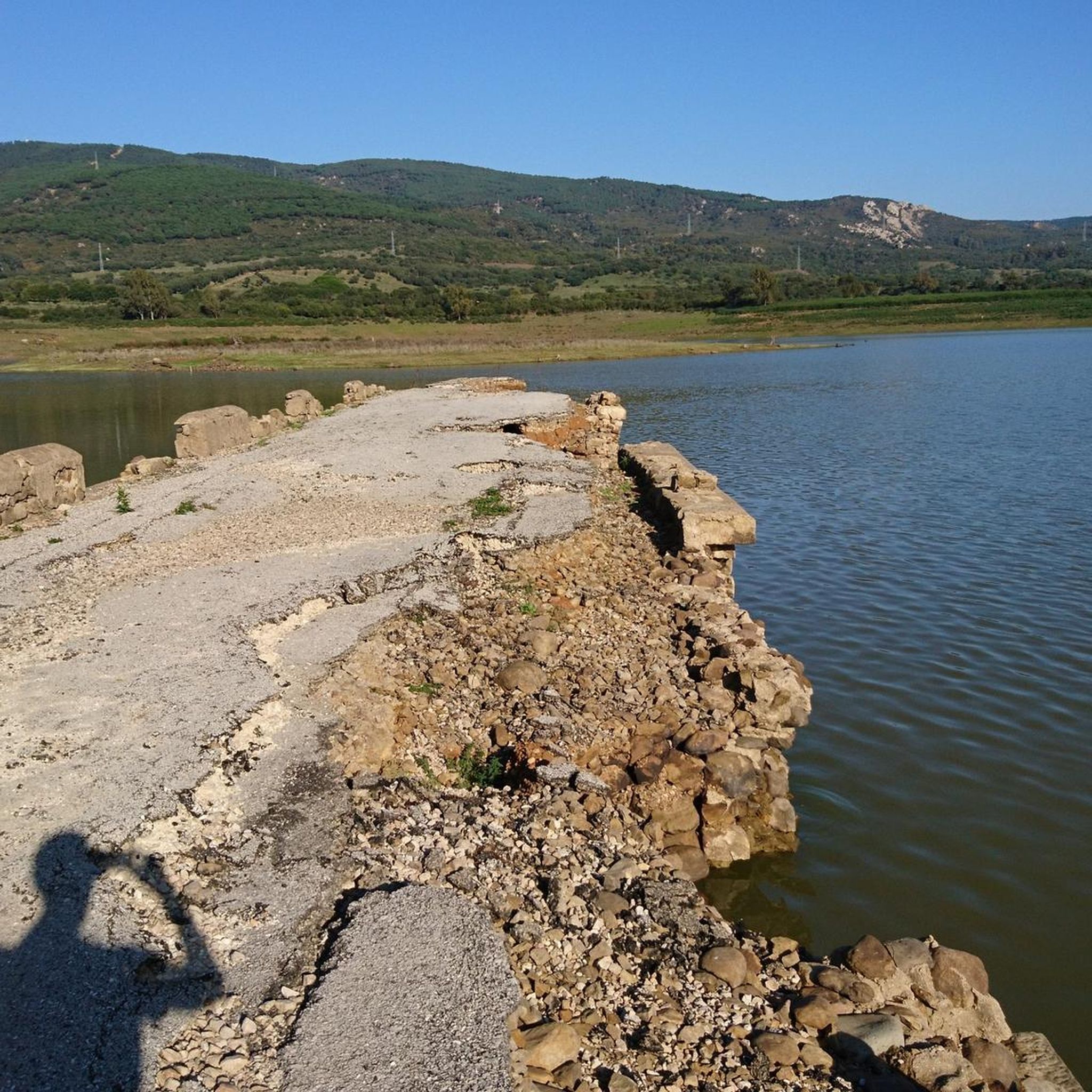
Reservoir for the waters of the Palmones River belonging to the municipality of Los Barrios and framed in the Natural Park of Los Alcornocales. The A-381 road crosses it over a new bridge, leaving the old bridge for recreational use.
3
0
At this point, on the other side of the road, there is a series of curious rock formations, which like fluffy clouds in the sky suggest numerous shapes to the imagination. One of them is popularly known as "Montera del Torero" for its unmistakable shape. They can be accessed by walking along a path that leaves the road.
3
0
Very popular area for mountain biking due to its numerous tracks and paths that offer multiple combinations of routes, always accompanied by good views and a privileged environment.
2
0

Rock formation in the shape of a bullfighter's bust, one of the symbols of Los Barrios. It is visible from the road but can also be reached on foot by a short path.
0
0
Frequently Asked Questions
How many mountain bike trails are available around Embalse de Charco Redondo?
There are 9 mountain bike trails documented around Embalse de Charco Redondo, offering a range of experiences from easy to difficult.
Are there any easy or family-friendly mountain bike trails in the area?
Yes, the region offers several easy and family-friendly options. For a relaxed ride, consider the Calleja Real Nature Trail loop from Bar Restaurante Venta el Frenazo, which is an easy 9.5-mile (15.3 km) path following a natural trail.
What kind of terrain can I expect on mountain bike trails near Embalse de Charco Redondo?
The terrain is diverse, characterized by the reservoir itself, surrounding hills like Sierra de Montecoche, and varied natural trails. You'll find a mix of open areas, natural paths, and some forested sections, with elevations varying to include significant climbs and panoramic viewpoints.
Are there any advanced mountain bike routes for experienced riders?
Absolutely. For experienced riders seeking a challenge, the View from Montecoche – Panoramic view from Montecoche loop from Fuente de la Teja is a difficult 35.0-mile (56.3 km) trail that offers extensive panoramic views from Montecoche and significant elevation changes.
Are there mountain bike trails that offer scenic viewpoints?
Many trails in the area provide excellent scenic viewpoints. The View from Montecoche – Panoramic view from Montecoche loop from Fuente de la Teja is particularly known for its extensive panoramic views from Montecoche, overlooking the reservoir and the wider Campo De Gibraltar area. Another option is the Canuto de Risco Blanco Trail – Ojén Pass Viewpoint loop from El Espinar, which passes the Ojén Pass Viewpoint.
What is the typical duration for mountain bike trails in this region?
Trail durations vary significantly based on distance and difficulty. Easy trails like the Calleja Real Nature Trail loop can take around 1 hour, while more challenging routes such as the View from Montecoche loop can take approximately 5 hours 30 minutes to complete.
Are there any loop trails for mountain biking around Embalse de Charco Redondo?
Yes, many of the mountain bike routes are designed as loops. Examples include the Calleja Real Nature Trail loop, the Canuto de Risco Blanco Trail – Ojén Pass Viewpoint loop, and the Sierra de Montecoche and Charco Redondo Reservoir Loop.
What do other mountain bikers say about the trails in Embalse de Charco Redondo?
The mountain bike routes in Embalse de Charco Redondo are highly rated by the komoot community, with an average score of 4.6 stars from over 300 reviews. Riders often praise the varied terrain, the scenic views, and the mix of easy and advanced options available.
What is the best time of year for mountain biking around Embalse de Charco Redondo?
Given the region's climate, spring and autumn generally offer the most pleasant conditions for mountain biking, with milder temperatures. Summer can be very hot, while winter might bring cooler, potentially wetter weather, but trails are generally accessible year-round.
Are there any cafes or places to eat near the mountain bike trails?
While specific cafes directly on every trail are not listed, the starting point for the easy Calleja Real Nature Trail loop is from Bar Restaurante Venta el Frenazo, suggesting refreshment options are available in the vicinity of some trailheads.
What should I bring for a mountain bike ride in Embalse de Charco Redondo?
It's always recommended to bring plenty of water, especially on longer routes or during warmer months. Essential gear includes a helmet, appropriate cycling clothing, a repair kit, and a fully charged phone. Sun protection is also advisable due to open sections of trails.
Most popular routes around Embalse de Charco Redondo

Get inspired with the komoot mobile app


Explore more
Browse the best MTB trails in other regions.
