The best road cycling routes around Serones
5.0
(1)
51
riders
8
rides
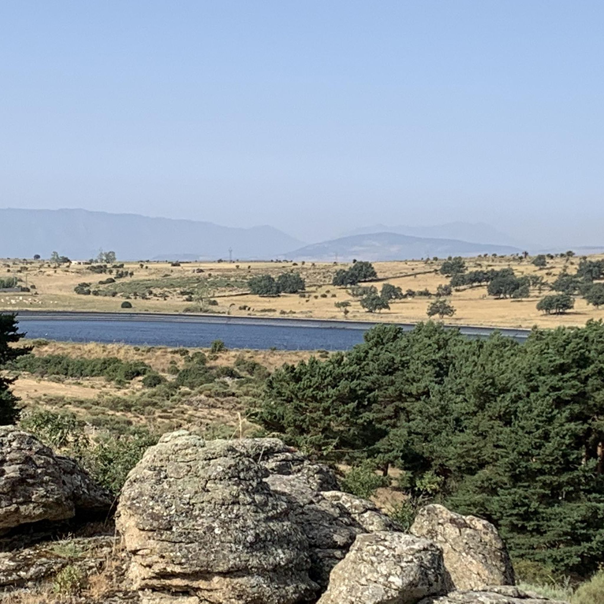
Road cycling routes around Serones offer challenging terrain in the region of Avila, characterized by its hilly landscape and proximity to a lake. The area features varied elevation changes, including significant ascents and descents, making it suitable for experienced road cyclists. The routes often traverse rural roads, providing views of the surrounding natural environment.
Best road cycling routes around Serones
- The most popular road cycling route is Puerto de la Lancha loop from Aldeavieja, a 56.2 miles (90.4 km)…
Last updated: May 21, 2026
5.0
(1)
6
riders
90.5km
04:46
1,740m
1,740m
Hard road ride. Very good fitness required. Mostly well-paved surfaces and easy to ride.
5
riders
98.2km
05:19
2,030m
2,030m
Hard road ride. Very good fitness required. Mostly well-paved surfaces and easy to ride.

Sign up for free
28
riders
54.8km
02:49
980m
980m
Hard road ride. Very good fitness required. Mostly well-paved surfaces and easy to ride.
12
riders
62.8km
03:19
1,080m
1,090m
Hard road ride. Very good fitness required. Some segments of this route may be unpaved and difficult to ride.
5
riders
128km
06:22
1,950m
1,950m
Hard road ride. Very good fitness required. Mostly well-paved surfaces and easy to ride.
Get access to more routes and recommendations from other explorers.
Sign up for free
Already have an account?
Our route recommendations are based on thousands of hikes, rides, and runs completed by other people on komoot.
Start today with a free account
Your next adventure awaits.
Login or Signup
Popular around Serones


Tips from the Community

The Church of San Miguel Arcángel in Tornadizos de Ávila is a church of great historical and cultural significance. Built of ashlar and masonry, it is liturgical in nature. The Brotherhood of the Holy True Cross, an institution of great importance in local religious life, was founded in this parish more than four centuries ago.
1
0

Quiet village with a fountain, all of these routes are highly recommended.
0
0

The cycle trip continues along the lane of the Jacobean route until it connects with the Cebreros highway. The route continues along the side of the road, passing through the popular port of Arrebatacapas and another descent to Cebreros, a mountain town with a wine-growing tradition that would be a good place to finish the second stage when organized as a three-day trip. The Camino de Levante descends from the port along a mountain path that is quite technical and difficult by bicycle, suitable for trail experts and everyone can choose. The path begins next to the port sign and ends where the road enters the urban complex. The track goes down the road, crosses the town and continues the descent along the old Camino Real de Toledo, used by the funeral procession of Isabel la Católica when they carried her remains from Medina del Campo to Granada. At the Cebreros exit there are remains of the old medieval road and on the Alberche River there are the monumental bridges of Valsordo and Santa Yusta, used since Roman times, although they have undergone several reconstructions throughout history. The climb coincides with the last arrows of the Camino de Levante and deviates through the Puente Nuevo urbanization towards San Martín de Valdeiglesias, following the markings of the GR-10 long-distance path, with several hard ramps on the Camino de la Aliseda.
0
0

The Hermitage of Santisimo Cristo de Gracia may date from the late 15th century. The ranchers' brotherhood was founded in this hermitage.
1
0

Tornadizos de Ávila is a small town on the eastern outskirts of Ávila. The town is located on the pilgrimage route from Madrid and Santiago de Compostela, carried out by many every day for centuries.
1
0

From this point there are very nice and wide views of the town of Cebreros and in the background, Cerro Guisando, one of the last mountains of the Sierra de Gredos on the east side.
1
0
The Iglesia de San Sebastian is a building that is located at the entrance of the town and where it is surrounded by open spaces and this fact gives it a special air. Shaded space and nearby parking.
1
0

The Magalia castle is a 16th century construction located in the town of Navas del Marqués, which is worth visiting. It offers magnificent views of the town. Check schedules for guided tours with the Town Hall.
1
0
Frequently Asked Questions
What kind of challenge can I expect on Serones' road cycling routes?
Road cycling in Serones is characterized by challenging terrain, including significant ascents and descents. The area's hilly landscape means routes often feature sustained climbs and considerable elevation gain, making them best suited for experienced road cyclists.
Are there circular road cycling routes in Serones?
Yes, all the primary road cycling routes around Serones are designed as loops. For example, you can explore the Puerto de la Lancha loop from Aldeavieja or the Cerro Magrao Road – Entrance to El Herradón loop from Herradón-La Cañada, both offering a return to your starting point.
What are the typical distances for road cycling routes around Serones?
The road cycling routes in Serones vary in length, generally ranging from approximately 34 miles (55 km) to over 60 miles (97 km). For instance, the Cerro Magrao Road – Entrance to El Herradón loop from Herradón-La Cañada is about 34.1 miles, while the Santa María de la Alameda – Puerto de la Lancha loop from Aldeavieja covers 60.8 miles.
How long do road cycling routes in Serones typically take to complete?
Due to the challenging terrain and varying distances, completion times for road cycling routes in Serones range from around 2 hours 50 minutes for shorter loops to over 4 hours 45 minutes for longer, more demanding rides. The Puerto de la Lancha loop from Aldeavieja, for example, typically takes about 4 hours 46 minutes.
Are there any easy or beginner-friendly road cycling routes in Serones?
The road cycling routes around Serones are predominantly classified as difficult, featuring significant elevation changes and sustained climbs. The area is best suited for experienced road cyclists seeking a demanding ride rather than beginner-friendly options.
What is the best time of year for road biking in Serones?
Given the region's characteristics, spring and autumn generally offer the most pleasant conditions for road cycling in Serones, with milder temperatures. Summer can be quite warm, and winter may bring colder weather and potentially challenging road conditions, especially at higher elevations.
Where can I find parking for road biking near Serones?
While specific parking areas are not detailed for every route, starting points for many routes, such as Aldeavieja or Herradón-La Cañada, typically offer local parking options suitable for cyclists. It's advisable to check local village parking facilities near your chosen route's start.
What do other road cyclists enjoy most about road cycling in Serones?
The komoot community highly rates the road cycling experience in Serones, with an average score of 5.0 stars. Cyclists often praise the challenging ascents, the scenic rural roads, and the varied terrain that provides a rewarding workout.
Are there any cafes or places to refuel along the road cycling routes?
The routes in Serones often traverse rural roads. While specific cafes are not listed for every route, villages and towns along or near the routes, such as Aldeavieja or Herradón-La Cañada, are likely to have local establishments where you can refuel. Planning your route with potential stops in mind is recommended.
What kind of scenery can I expect along the road cycling routes in Serones?
Road cycling routes in Serones offer views of the surrounding natural environment, characterized by a hilly landscape and proximity to a lake. You'll experience rural roads winding through varied terrain, providing a sense of immersion in the region's natural beauty.
How many road cycling routes are available in Serones?
There are several road cycling routes available around Serones, with komoot featuring a selection of challenging tours. The guide highlights popular options like the Puerto de Arrebatacapas – Historic center of Cebreros loop from Herradón-La Cañada, among others.
Most popular routes around Serones

Get inspired with the komoot mobile app


Explore more
Browse the best Road cycling routes in other regions.
