The best walks and hikes around Croshballinree
4.7
(26)
282
hikers
4
hikes
Hiking around Croshballinree offers a diverse range of trails within the Sperrins region. The Croshballinree geographical location is characterized by rolling hills, forested glens, and tranquil lakes. The Croshballinree hiking terrain features varied elevation changes, providing paths through woodlands and open landscapes. Hikers can explore a mix of moderate climbs and gentler lakeside trails, showcasing the area's natural features.
Best hiking trails around Croshballinree
- The most popular hiking route is Bessy Bell — Sperrins, a 6.8 miles (11.0 km)…
Last updated: June 25, 2026
4.4
(5)
20
hikers
8.99km
02:47
350m
350m
Embark on a moderate hike through Gortin Glen Forest Park via Mullaghcarn, a rewarding journey spanning 5.6 miles (9.0 km) with an elevation gain of 1156 feet (352 metres). This…
5.0
(1)
9
hikers
6.94km
02:04
220m
220m
Embark on the Mullagharn South Top loop, a moderate hike that takes you through varied landscapes. You will cover 4.3 miles (6.9 km) and gain 728 feet (222 metres) in…

Sign up for free
2
hikers
7.56km
02:10
180m
180m
Hike the moderate 4.7-mile Gortin Lakes Trail in Gortin Glen Forest Park, enjoying views of tranquil lakes and the Sperrin Mountains.
11.0km
03:16
350m
350m
Moderate hike. Good fitness required. Easily-accessible paths. Suitable for all skill levels.
1
hikers
1.68km
00:28
30m
30m
Easy hike. Great for any fitness level. Easily-accessible paths. Suitable for all skill levels.
Our route recommendations are based on thousands of hikes, rides, and runs completed by other people on komoot.
Start today with a free account
Your next adventure awaits.
Login or Signup

Tips from the Community

Gortin is a pleasant town situated in the heart of the Sperrins in County Tyrone. The town is nearby to a number of wonderful walks including Gortin Glen Forest Park, Mullaghcarn & Craignamaddy. There are also a few pubs in the town, such as Mossey's Bar and O'Neills.
1
0
There is a picturesque footpath around New Lough where you can enjoy scenes of the still waters surrounded by stunning Sperrins landscape.
1
0
This beautiful lake situated in the heart of the Sperrins countryside is a fantastic location for a walk. The footpath is surrounded by heathland and wildflowers along with views of the surrounding rolling hills. Car parking is available and there is a picnic area, too.
1
0
This quiet country lane located at the foothills of Bessy Bell hilltop is a picturesque location for a stroll. Enjoy wonderful scenery of farmland and streams, and the mountaineous landscape of the Sperrins in the distance.
1
0
Bessy Bell is a small, rounded mountain situated not too far from Omagh that boasts wonderful views of the Sperrins to the east. On a clear day, the views stretch as far as the Derg Valley and the hills of Donegal, as well as all the way over to Errigle.
1
0
This is the entrance to the wonderful Gortin Glen Forest Park. There is a space to the right as you approach the entrance where you can leave your car, and an information board next to the gate detailing some pointers about the area.
2
0
On this winding forest path through Gortin Glen Forest Park you are subject to some glorious views across towering coniferous woodland toward Mullagharn South Top, Timurty Hill, and Rylagh Top.
2
0
Turn off here to visit a hidden waterfall deep in the Gortin Glen Forest Park.
2
0
Frequently Asked Questions
What kind of hiking terrain can I expect around Croshballinree?
The hiking terrain around Croshballinree is characterized by varied elevation changes, offering paths through both forested glens and open landscapes. You'll encounter rolling hills and tranquil lakeside trails within the Sperrins region.
Are there any easy hiking trails suitable for beginners or families in Croshballinree?
Yes, Croshballinree offers several easy trails. The Gortin Glen Lakes loop — Sperrins is an easy 1.0 mile (1.7 km) path through Gortin Glen Forest Park, perfect for a gentle stroll. There are two easy routes in total, providing accessible options for all.
What are the most scenic viewpoints or natural features to look out for?
The area boasts beautiful natural features and viewpoints. You can find a stunning Waterfall in Gortin Glen Forest Park. For panoramic views, consider visiting the Dunbreen Road viewpoint. The trails themselves often offer views over Gortin Glen and the surrounding Sperrins landscape.
Are there any circular hiking routes available?
Yes, there are several circular routes. The Mullagharn South Top loop is a moderate 6.9 km (4.3 miles) circular hike. Another option is the easy Gortin Glen Lakes loop — Sperrins, which is 1.7 km (1.0 mile) long.
What is the best time of year to go hiking in Croshballinree?
While hiking is enjoyable year-round, spring and autumn often offer the most pleasant conditions with milder temperatures and beautiful scenery. Summer provides longer daylight hours, and winter can be picturesque, though some trails might be more challenging due to weather.
What is the typical difficulty level of hikes in Croshballinree?
The trails around Croshballinree offer a mix of difficulty levels. You'll find easy strolls, particularly around the lakes, and moderate climbs through forested areas and hills. There are no difficult-graded routes, making it accessible for a wide range of hikers.
Are there any specific landmarks or attractions near the hiking trails?
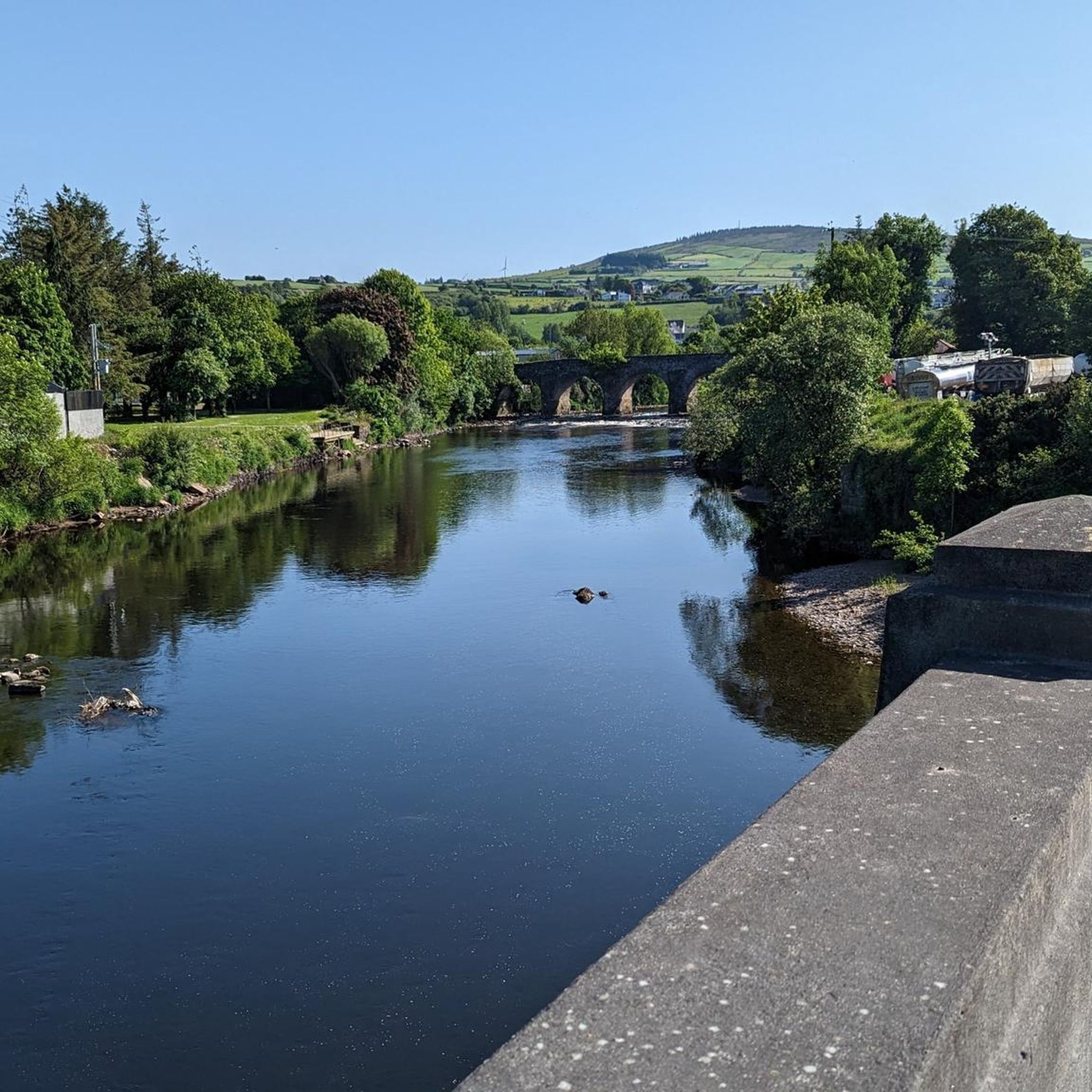
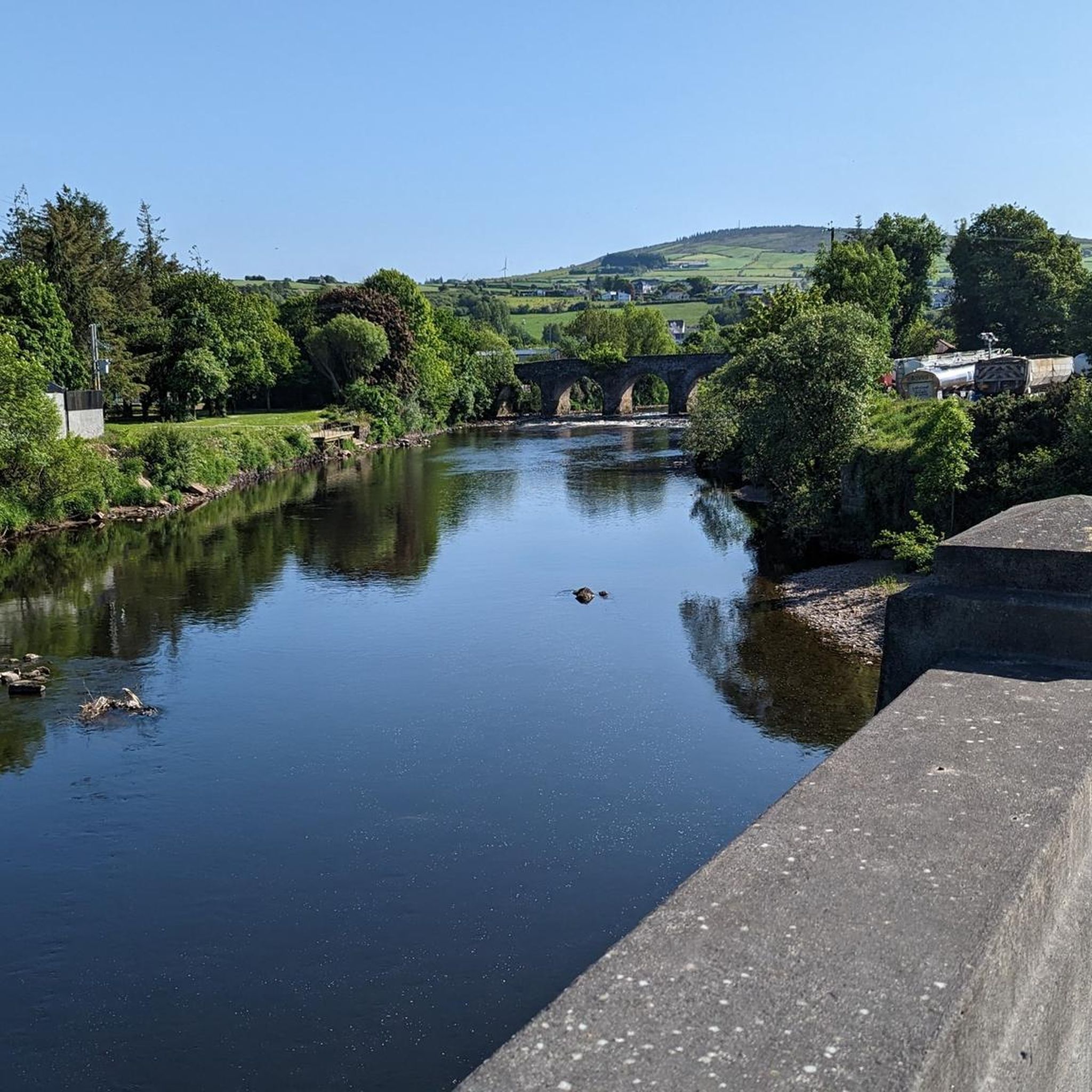
Beyond the natural beauty, you can explore several interesting landmarks. The Newtownstewart Stone Bridge is a notable historical feature. For a cultural experience, the Ulster American Folk Park is also nearby.
What do other hikers say about the trails in Croshballinree?
The trails in Croshballinree are highly rated by the komoot community, with an average score of 4.7 stars from over 25 reviews. Hikers often praise the diverse terrain, from quiet woodlands to scenic open landscapes, and the well-maintained paths.
Is there parking available for hikers in Croshballinree?
Yes, parking is generally available at popular trailheads, particularly within areas like Gortin Glen Forest Park, which serves as a common starting point for many routes in the region.
Can I find places to eat or drink near the hiking trails?
While specific establishments directly on the trails are limited, you can find pubs and cafes in nearby towns and villages surrounding Croshballinree, offering options for refreshments after your hike.
How long do the hikes typically take in Croshballinree?
Hike durations vary significantly based on the route and your pace. An easy trail like the Gortin Glen Lakes loop — Sperrins can be completed in under 30 minutes, while longer moderate routes such as Bessy Bell — Sperrins can take over 3 hours.
What is the longest hiking trail in the Croshballinree area?
The longest trail listed is Bessy Bell — Sperrins, which covers 11.0 km (6.8 miles) and features sustained climbs through forested areas.
Most popular attractions around Croshballinree

Get inspired with the komoot mobile app


Explore more
Browse the best Hikes in other regions.
