The best cycling routes around Embalse de los Bermejales
4.1
(15)
208
riders
30
rides
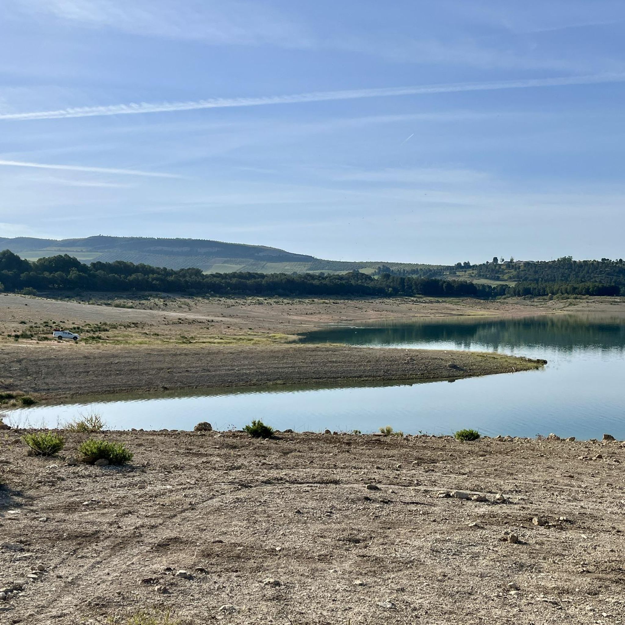
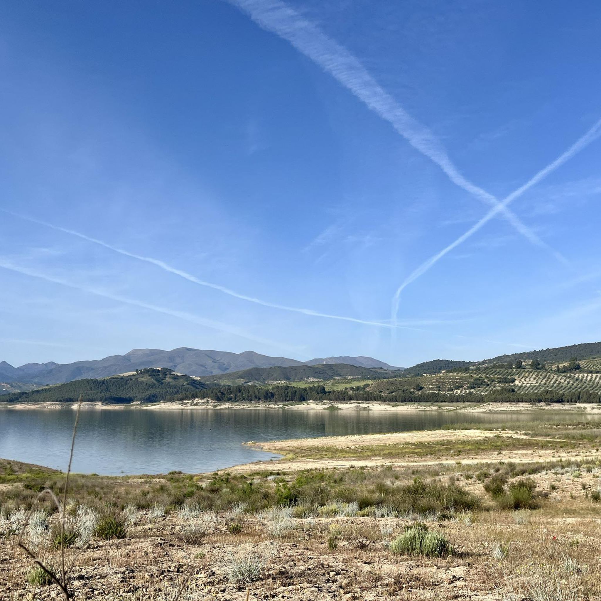
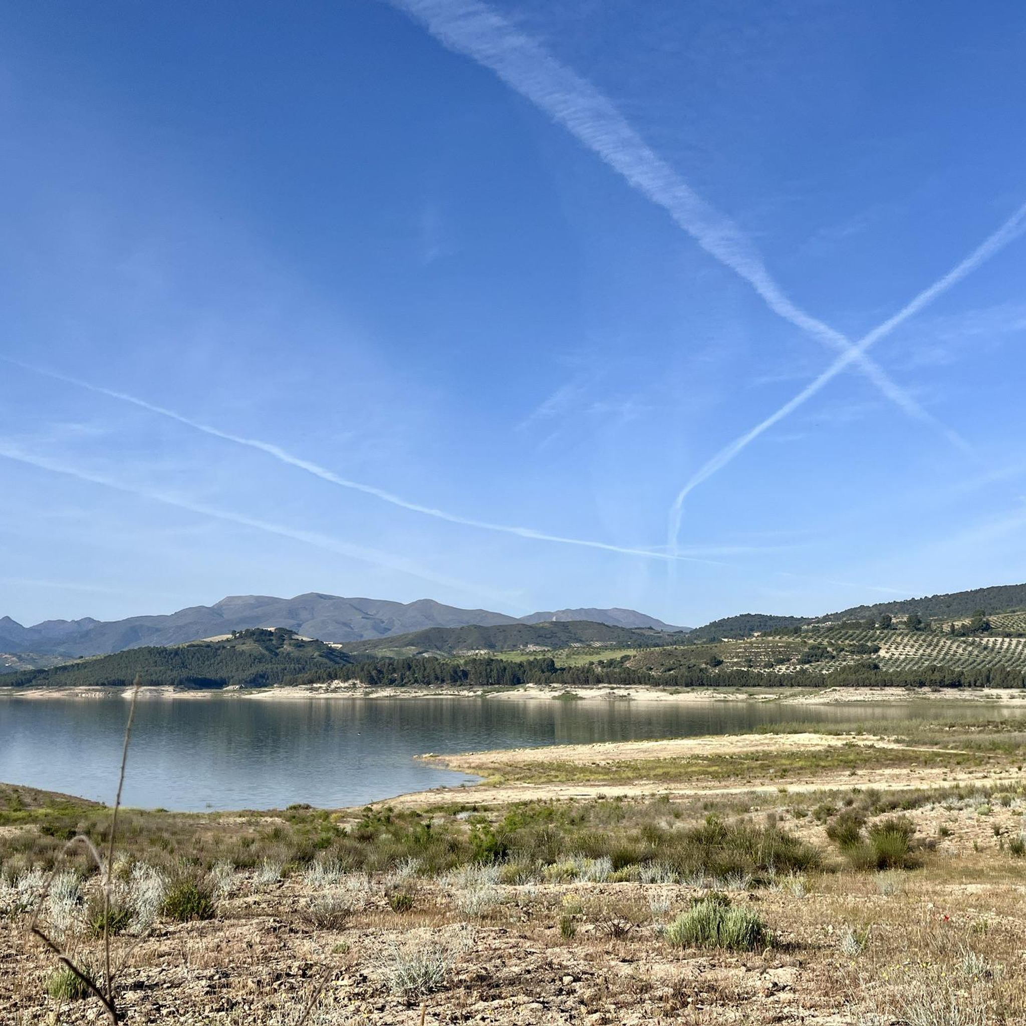
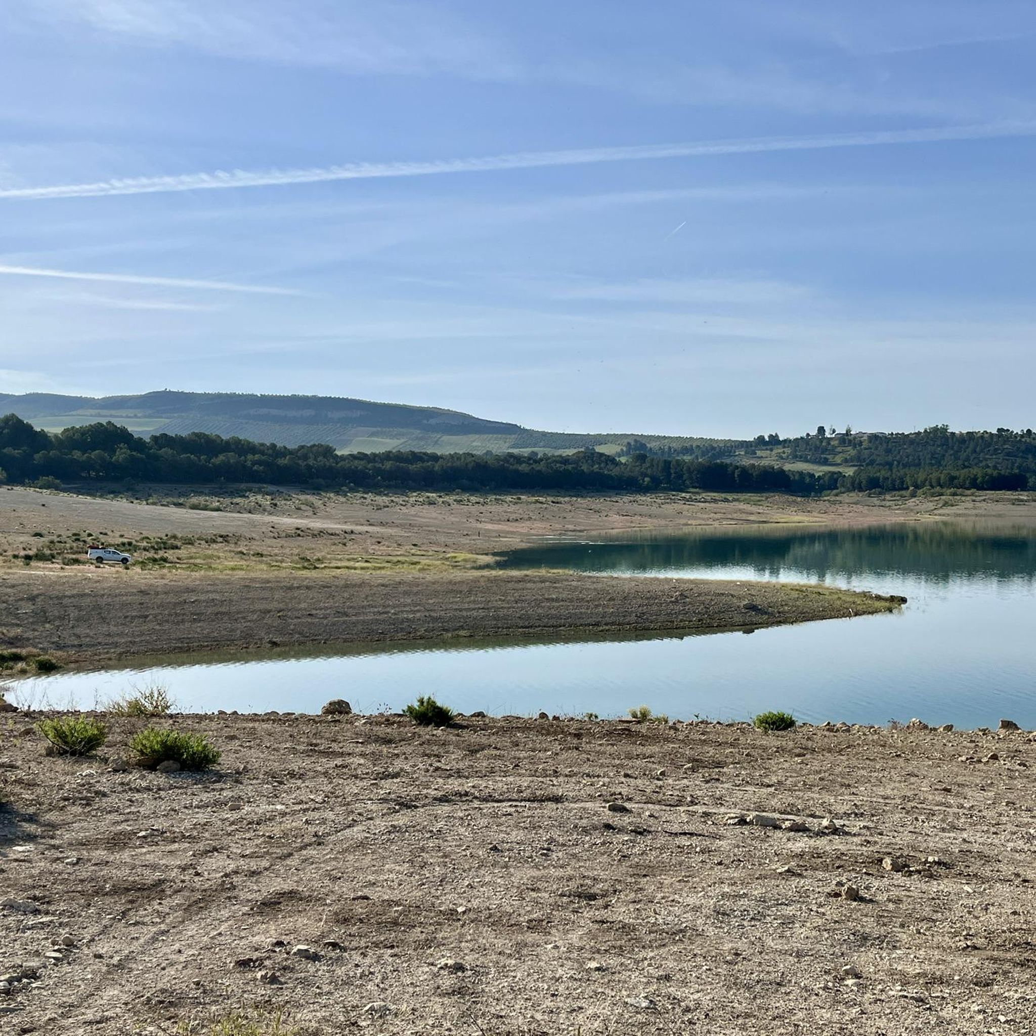
Touring cycling around Embalse de los Bermejales offers routes through a landscape characterized by striking turquoise waters, surrounded by the mountains of the Sierra de Almijara. The region features diverse Mediterranean vegetation, including pine, olive, eucalyptus, almond, and cherry trees, providing both visual appeal and shade. Cyclists can explore varied terrain, from relatively mellow lakeside trails to more challenging routes with significant elevation gains in the surrounding national parks. Downstream, the Cacín river flows through an impressive gorge with large…
Last updated: July 7, 2026
5.0
(2)
23
riders
25.9km
01:44
430m
430m
Cycle a moderate 16.1-mile (25.9 km) loop around Embalse de Bermejales, enjoying blue waters, olive groves, and mountain views.
5.0
(1)
15
riders
33.4km
02:18
570m
570m
Hard bike ride. Very good fitness required. Mostly paved surfaces. Suitable for all skill levels.

Sign up for free
5.0
(1)
14
riders
43.5km
04:04
980m
980m
Hard bike ride. Very good fitness required. Mostly paved surfaces. Suitable for all skill levels.
7
riders
Hard bike ride. Very good fitness required. Mostly paved surfaces. Suitable for all skill levels.
4
riders
Moderate bike ride. Good fitness required. Mostly paved surfaces. Suitable for all skill levels.
Get access to more routes and recommendations from other explorers.
Sign up for free
Already have an account?
Our route recommendations are based on thousands of hikes, rides, and runs completed by other people on komoot.
Start today with a free account
Your next adventure awaits.
Login or Signup

Other adventures around Embalse de los Bermejales

Tips from the Community

The Alto de los Morros viewpoint, located near Jayena (Granada), is ideal for nature lovers and those who appreciate stunning views: Situated in the municipality of Jayena, within the Alhama region (Granada), it forms part of the Sierras de Tejeda, Almijara y Alhama Natural Park. Its altitude reaches approximately 1277 meters above sea level. It is part of a circular route starting from the "El Bacal" recreation area, covering a distance of about 15 km, with an elevation gain of between 925 and 1322 meters and a moderate level of difficulty. It offers sweeping panoramic views of the Sierra Almijara Natural Park, including peaks such as La Maroma, Peña del Águila, Cerro Lucero, and La Chapa.
3
0

As a bikepacking tourer you have to push downhill here 😤
0
0
The Hermitage of Our Lady of the Angels is located on the Camino de la Trucha, which runs parallel to the Alhama or Marchán River, at the foot of the impressive Alhama Cliffs. There are two routes to reach the hermitage from the village. One is a wide dirt road that begins at the school, and another, which we liked the most, leads through one of the most beautiful places in Alhama. It begins at the old Pérez cinema, passes through the flour mills, and passes through some washhouses carved into the rock itself.
0
0
Luggage drivers have to push downhill 😤
0
1
That you don't starve or die of thirst 🍪🍩🥩☕🍗🧀
0
0
Játar is a municipality in the province of Granada in southeastern Spain with 612 inhabitants (as of 2024). The municipality is located in the Alhama region. From here you can enjoy beautiful views of the snow-capped peaks of the Sierra Nevada.
0
0

The Embalse de los Bermejales is a reservoir in the province of Granada, Andalusia, Spain. It is located in the municipality of Arenas del Rey and is fed by the rivers and streams of the Sierra de Almijara mountains. The reservoir was completed in 1958 and has a capacity of approximately 104 million cubic meters of water. With beautiful views of the natural surroundings.
5
0
Beautiful view of the village, from here you can see the whole city of Alhama de Granada, surrounded by fields of almond trees.
7
0
Frequently Asked Questions
How many touring cycling routes are available around Embalse de los Bermejales?
There are over 25 touring cycling routes available around Embalse de los Bermejales. These routes offer a variety of experiences, from moderate lakeside loops to more challenging climbs through mountainous terrain.
What is the best time of year for touring cycling in Embalse de los Bermejales?
The region around Embalse de los Bermejales is ideal for touring cycling during spring and autumn when temperatures are milder. The Mediterranean climate ensures pleasant conditions, and the surrounding vegetation, including pine, olive, and almond trees, provides both visual appeal and welcome shade.
What are the difficulty levels of touring cycling routes in the area?
The routes around Embalse de los Bermejales cater to various skill levels. While there is 1 easy route, you'll find 3 moderate routes, and a significant number of challenging options, with 24 difficult routes featuring considerable elevation gains. This diversity allows cyclists to choose paths that match their fitness and experience.
Are there any circular touring cycling routes around Embalse de los Bermejales?
Yes, a major draw for touring cyclists is the trail that circles the lake. The Bermejales Reservoir Perimeter Trail is a popular moderate loop, offering stunning views of the blue waters and olive groves. Other circular options like the Embalse de Bermejales – Los Bermejales Reservoir loop from Pantano de los Bermejales also provide extensive exploration.
What natural features or landmarks can I see while cycling around Embalse de los Bermejales?
Cyclists can enjoy the striking turquoise waters of the reservoir itself, backed by the Sierra de Almijara mountains. The area is rich in Mediterranean vegetation, and downstream from the dam, the Cacín river flows through an impressive gorge. You can also visit the Los Bermejales Reservoir and the Embalse de los Bermejales itself.
Are there any specific viewpoints worth visiting on a touring cycling trip?
Absolutely. The Mirador de las Yeseras offers panoramic views of the Embalse de los Bermejales, providing excellent photo opportunities. Additionally, routes like the View of Alhama de Granada loop from Arenas del Rey provide sweeping vistas of the historic town and surrounding mountains.
Can I explore any historical sites or charming villages during my ride?
Yes, several small, traditional Spanish villages like Arenas del Rey, Alhama de Granada, and Jayena are situated around the reservoir, offering a chance to experience local culture. Alhama de Granada is known for its historic hot sulfur baths. You can also visit the important archaeological site of Dolmen de los Bermejales, a prehistoric grave that was relocated and rebuilt.
Are there family-friendly touring cycling routes suitable for beginners?
While many routes are more challenging, there is 1 easy route available, and the moderate Bermejales Reservoir Perimeter Trail is mostly paved and suitable for various fitness levels, making it a good option for families or those new to touring cycling.
Where can I find parking for touring cycling routes around Embalse de los Bermejales?
Parking is generally available at various points around the reservoir and in the nearby villages. For example, the Five-Branch Pine is listed as a parking highlight. It's advisable to check specific starting points for routes for designated parking areas.
Are there places to eat or stay near the cycling routes?
Yes, the charming villages surrounding the reservoir, such as Bermejales, Arenas del Rey, and Alhama de Granada, offer opportunities for refreshments and accommodation. You'll find local cafes and restaurants to refuel after your ride.
What kind of terrain can I expect on touring cycling routes here?
The terrain is quite diverse. You can expect relatively mellow, mostly paved trails around the lake, but also more challenging routes with significant elevation gains as you venture into the surrounding mountainous areas and national parks. The region features a mix of Mediterranean vegetation, including olive groves and pine forests.
What do other touring cyclists enjoy most about the routes in Embalse de los Bermejales?
The area is highly rated by the komoot community, with an average score of 4.1 stars from over 10 reviews. Cyclists often praise the stunning turquoise waters, the picturesque mountain backdrops, and the diverse Mediterranean vegetation that provides both visual appeal and shade. The variety of routes, from lakeside loops to challenging climbs, is also frequently highlighted.
Are there any longer, more challenging touring cycling routes for experienced riders?
Experienced riders will find plenty of challenging options. For instance, the Alto de los Morros Viewpoint – La Resinera loop from Fornes is a difficult 27-mile (43.5 km) trail with significant elevation. Another demanding option is the Mesón Los Prados – Shelter hut loop from Arenas del Rey, which covers over 60 km with substantial climbing.
Most popular routes around Embalse de los Bermejales
Most popular attractions around Embalse de los Bermejales

Get inspired with the komoot mobile app


Explore more
Browse the best Cycling routes in other regions.
