The best road cycling routes around Embalse de Cerro Alarcón
4.1
(15)
2,615
riders
27
rides
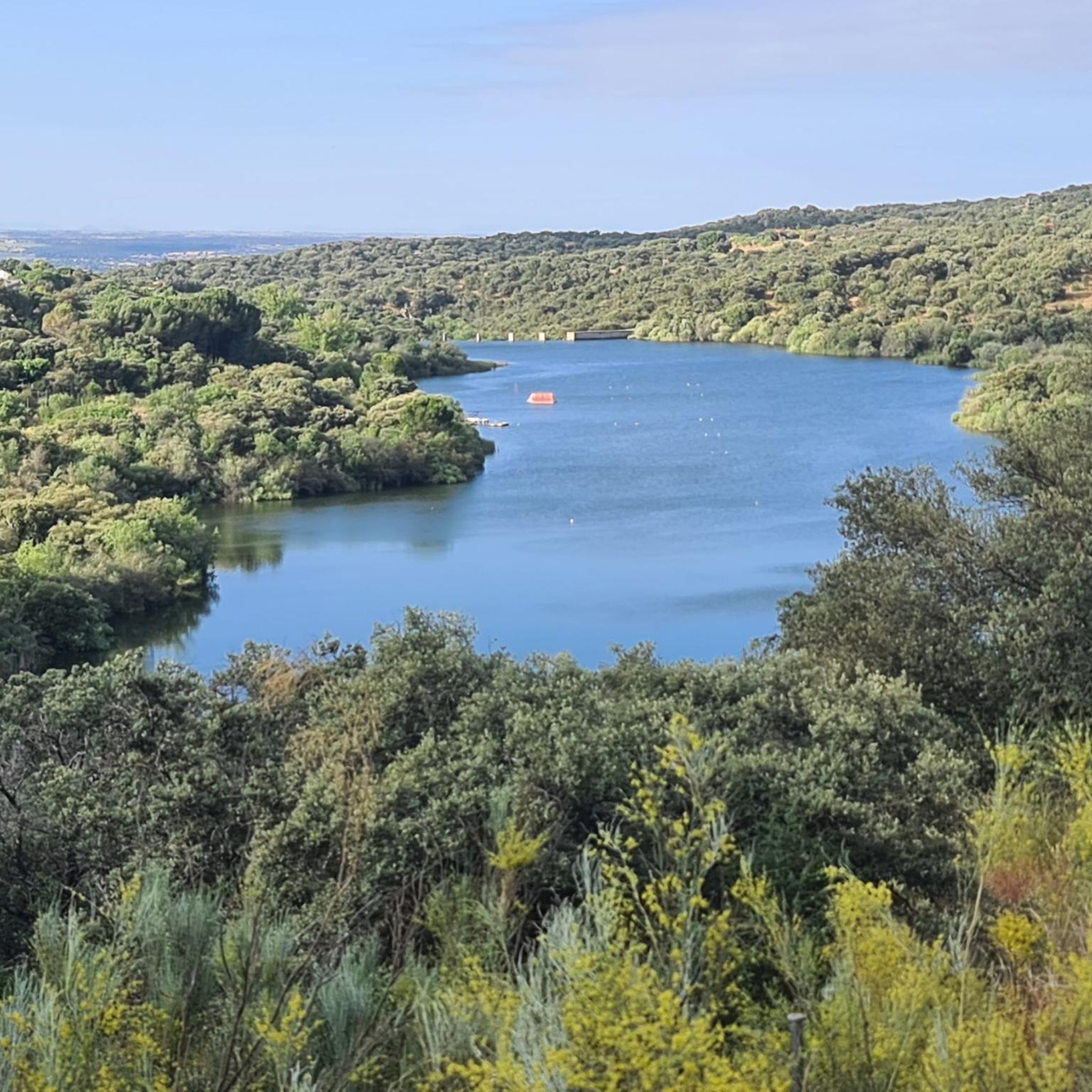
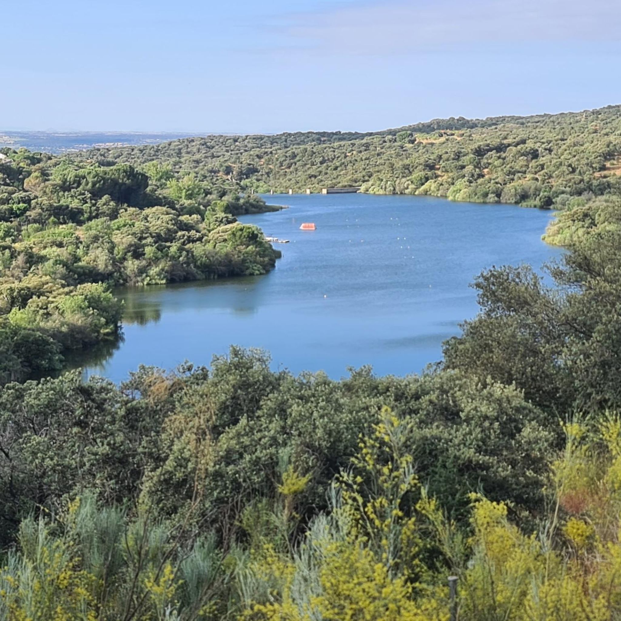
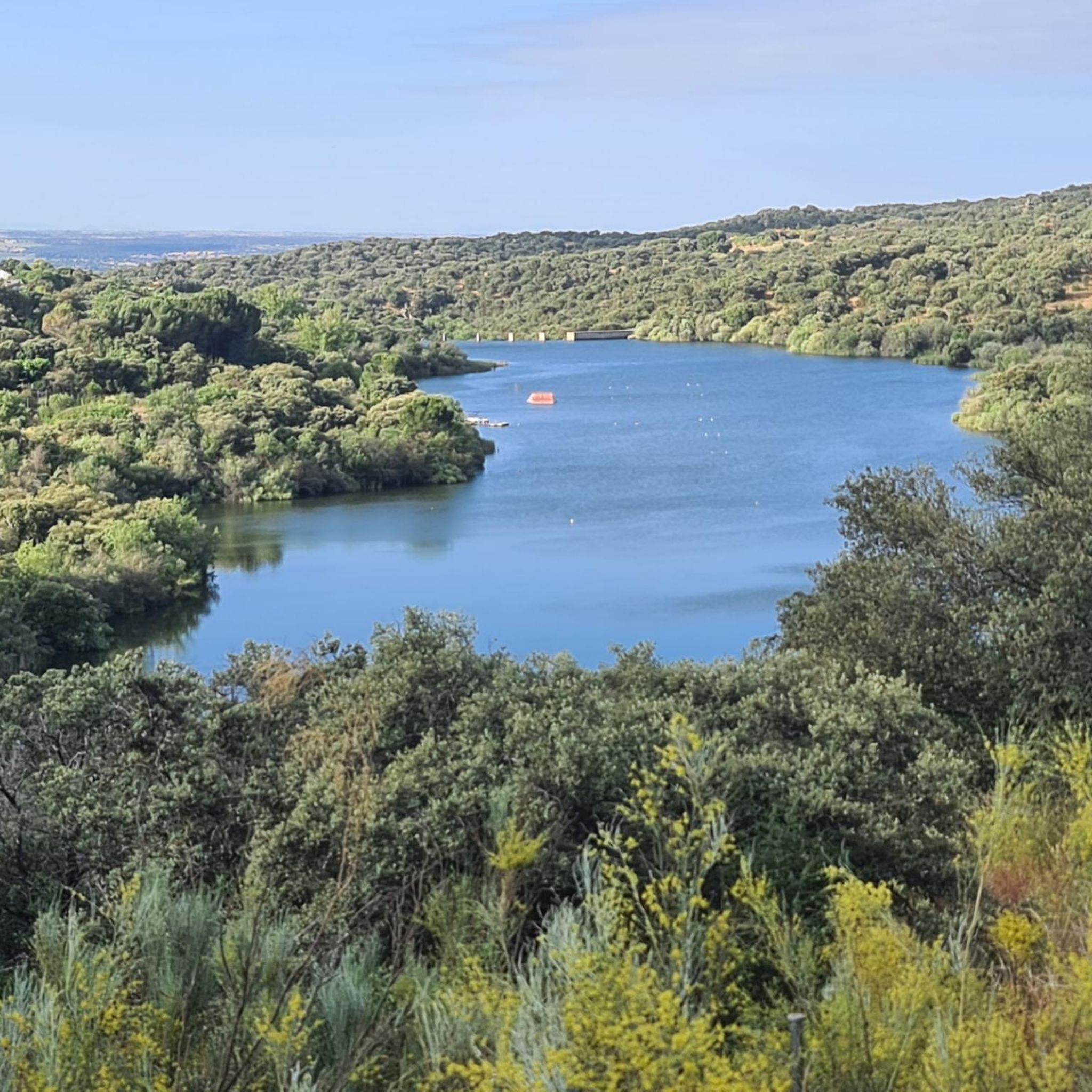
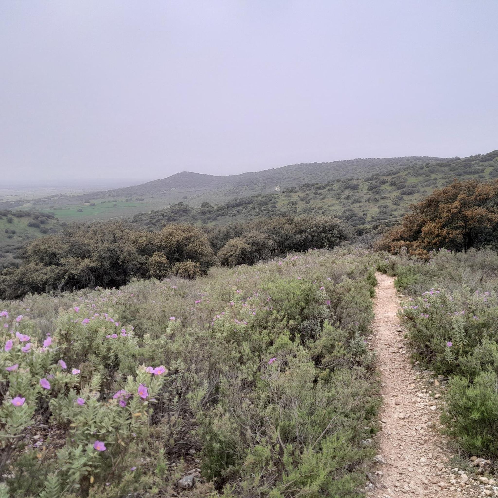
Road cycling around Embalse de Cerro Alarcón offers diverse terrain within the Community of Madrid, characterized by the scenic reservoir and its surrounding Mediterranean forest ecosystem. The area features a mix of flat sections near the water and varied topography due to its proximity to the Sierra de Guadarrama. Cyclists can expect routes that traverse both "Street" and "State Road" segments, providing a range of experiences from gentle loops to more challenging climbs. The Perales River, feeding the reservoir, also contributes to the natural landscape.
Best road cycling routes around Embalse de Cerro Alarcón
- The most popular road cycling route is Colmenarejo Slides – Views of Valmayor Reservoir loop from Cerro Alarcón, a 47.4 miles (76.3 km) trail that takes 3 hours 31 minutes to complete. This moderate route offers expansive views of the Valmayor Reservoir.
- Another top favourite among local road cyclists is Cotos Pass – Navacerrada Pass loop from Cerro Alarcón, a difficult 68.5 miles (110.3 km) path. This route challenges cyclists with significant elevation gains through mountainous terrain.
- Local road cyclists also love the Peralejo Church – Cruz Verde Pass loop from Cerro Alarcón, a 27.4 miles (44.1 km) trail leading through varied landscapes, often completed in about 2 hours 7 minutes.
- Road cycling around Embalse de Cerro Alarcón is defined by the tranquil reservoir, Mediterranean forest, and the varied topography influenced by the Sierra de Guadarrama. The network offers options for different ability levels, from moderate loops to difficult mountain passes.
- The routes in Embalse de Cerro Alarcón are highly rated by the komoot community with an average score of 4.4 stars from over 12 reviews. More than 2,400 road cyclists have used komoot to explore Embalse de Cerro Alarcón's varied terrain.
Last updated: June 27, 2026
5.0
(1)
290
riders
76.3km
03:30
740m
740m
Moderate road ride. Good fitness required. Mostly well-paved surfaces and easy to ride.
105
riders
91.6km
04:40
1,530m
1,530m
Hard road ride. Very good fitness required. Mostly well-paved surfaces and easy to ride.

Sign up for free
13
riders
32.3km
01:28
320m
320m
Moderate road ride. Good fitness required. Some segments of this route may be unpaved and difficult to ride.
4.0
(1)
202
riders
76.2km
03:27
680m
690m
Moderate road ride. Good fitness required. Some segments of this route may be unpaved and difficult to ride.
21
riders
47.7km
02:49
800m
800m
Moderate road ride. Good fitness required. Some segments of this route may be unpaved and difficult to ride.
Get access to more routes and recommendations from other explorers.
Sign up for free
Already have an account?
Our route recommendations are based on thousands of hikes, rides, and runs completed by other people on komoot.
Start today with a free account
Your next adventure awaits.
Login or Signup

Tips from the Community

Beautiful viewpoint with spectacular views of the Monastery of El Escorial and Mount Abantos.
0
0

Impressive antenna installation. Beautiful road with little traffic.
0
0

Always better on weekends and during off-peak hours during the week because there's a lot of traffic.
0
0

Navalagamella is known for its hiking trails and natural surroundings, perfect for outdoor activities. In addition, its historical and cultural heritage offers an enriching experience for visitors.
6
0

Beautiful village with an enviable environment
0
1
Located in the mountains of Madrid, the Lunar Museum not only offers a huge range of STEAM activities related to space and the Universe, but also a natural environment to enjoy the outdoors and nature in the heart of the mountains of Madrid. Space dedicated to the dissemination of planetary sciences and space exploration.
0
0
Villanueva de la Cañada was known by the name of Despernada. Due to a contraction of the word, it was later called La Espernada. Several legends circulate about this name: one of them refers to a stone statue, mutilated by passers-by, and which existed in ancient times on the site where the town is built today, and around which the first homes were built. This version is documented in the Topographical Relations of Philip II (1578), the original of which is preserved in the Library of the Monastery of San Lorenzo de El Escorial. Currently Villanueva de la Cañada is a modern town, which houses the Alfonso X El Sabio University (UAX) and in its vicinity is the water park: Aquópolis.
28
0
Villanueva de la Cañada was known by the name of Despernada. Due to a contraction of the word, it was later called La Espernada. Several legends circulate about this name: one of them refers to a stone statue, mutilated by passers-by, and which existed in ancient times on the site where the town is built today, and around which the first homes were built. This version is documented in the Topographical Relations of Philip II (1578), the original of which is preserved in the Library of the Monastery of San Lorenzo de El Escorial. Currently Villanueva de la Cañada is a modern town, which houses the Alfonso X El Sabio University (UAX) and in its vicinity is the water park: Aquópolis.
21
0
Frequently Asked Questions
How many road cycling routes are available around Embalse de Cerro Alarcón?
There are over 25 road cycling routes around Embalse de Cerro Alarcón. These routes offer a diverse range of experiences, with 3 easy routes, 15 moderate routes, and 11 difficult routes to choose from.
What kind of terrain can I expect when road cycling around Embalse de Cerro Alarcón?
The terrain around Embalse de Cerro Alarcón is quite varied, influenced by its proximity to the Sierra de Guadarrama. You'll find a mix of flat sections near the reservoir, as well as more challenging climbs and descents. Routes often traverse both 'Street' and 'State Road' segments, winding through a beautiful Mediterranean forest ecosystem.
Are there road cycling routes suitable for beginners around Embalse de Cerro Alarcón?
Yes, there are 3 easy road cycling routes around Embalse de Cerro Alarcón, perfect for beginners or those looking for a more relaxed ride. These routes typically feature less elevation gain and are often found closer to the reservoir itself.
Are there challenging road cycling routes for experienced cyclists?
Absolutely. For experienced cyclists seeking a challenge, there are 11 difficult road cycling routes around Embalse de Cerro Alarcón. These routes often involve significant elevation gains and cover longer distances, such as the demanding Cotos Pass – Navacerrada Pass loop from Cerro Alarcón, which features over 1,600 meters of climbing.
What natural landmarks or historical sites can I see while road cycling near Embalse de Cerro Alarcón?
While cycling, you can enjoy the scenic beauty of the Embalse de Cerro Alarcón itself and the surrounding Mediterranean forest. Keep an eye out for historical features like the restored medieval Puente del Pasadero over the Perales River, and a centuries-old juniper tree, adding cultural interest to your ride.
Are there any circular road cycling routes around Embalse de Cerro Alarcón?
Yes, many of the road cycling routes in the area are designed as loops, allowing you to start and finish at the same point. An example is the Colmenarejo Slides – Views of Valmayor Reservoir loop from Cerro Alarcón, which offers expansive views and brings you back to your starting point.
What do other road cyclists enjoy most about cycling in Embalse de Cerro Alarcón?
The area is highly rated by the komoot community, with an average score of 4.4 stars from over 12 reviews. Cyclists often praise the varied terrain, the tranquil reservoir views, and the beautiful Mediterranean forest backdrop that makes for a scenic ride.
Is Embalse de Cerro Alarcón easily accessible for cyclists from Madrid?
Yes, Embalse de Cerro Alarcón is conveniently located approximately 40 km from Madrid, making it an accessible destination for a day trip. The paths around the reservoir are noted for their ease of access.
Are there any routes that offer particularly scenic viewpoints?
Many routes provide picturesque views, especially those that circle the reservoir or climb into the surrounding hills. The Colmenarejo Slides – Views of Valmayor Reservoir loop from Cerro Alarcón is specifically highlighted for its expansive views of the Valmayor Reservoir, offering stunning vistas during your ride.
Can I find cafes or places to stop for refreshments near the road cycling routes?
While the immediate area around the reservoir is natural, its proximity to urbanizations like Cerro Alarcón I and the nearby municipality of Valdemorillo means you can find services, including cafes and pubs, within a short distance from many routes. It's always a good idea to check specific locations along your chosen route.
What is the best time of year for road cycling around Embalse de Cerro Alarcón?
Given the Mediterranean climate, spring and autumn generally offer the most pleasant conditions for road cycling, with milder temperatures and beautiful scenery. Summer can be hot, especially midday, while winter can be cooler but often still suitable for cycling on sunny days.
Are there options for family-friendly road cycling?
Yes, the easier routes around the reservoir, which often include 'Street' and 'State Road' segments with less traffic, can be suitable for families. These routes allow for a more relaxed pace and offer beautiful scenery without excessive difficulty.
Most popular routes around Embalse de Cerro Alarcón

Get inspired with the komoot mobile app


Explore more
Browse the best Road cycling routes in other regions.
