The best walks and hikes around Embalse de Cerro Alarcón
4.5
(150)
854
hikers
56
hikes
Hiking around Embalse de Cerro Alarcón provides access to a protected natural environment characterized by a Mediterranean forest ecosystem. The region features indigenous species such as pines, junipers, and holm oaks, with the reservoir itself offering scenic water views. The Perales River, originating in the Las Machotas mountain range, contributes to the area's lushness. This area is situated approximately 40 km from Madrid, making it an accessible destination for outdoor activities.
Best hiking trails around Embalse de Cerro Alarcón
- The…
Last updated: July 4, 2026
4.8
(17)
130
hikers
5.20km
01:26
90m
90m
Hike an easy 3.2-mile (5.2 km) circular route along the Río Perales, exploring historic mills and the Puente del Hoyo bridge.
4.4
(7)
20
hikers
6.53km
01:50
130m
130m
Hike a moderate 4.1-mile loop near Cerro Alarcón, featuring the historic Puente del Pasadero and scenic reservoir views.

Sign up for free
3.0
(1)
9
hikers
4.28km
01:12
80m
80m
Easy hike. Great for any fitness level. Easily-accessible paths. Suitable for all skill levels.
5.0
(1)
5
hikers
8.41km
02:25
200m
200m
Moderate hike. Good fitness required. Easily-accessible paths. Suitable for all skill levels.
1
hikers
Easy hike. Great for any fitness level. Easily-accessible paths. Suitable for all skill levels.
Get access to more routes and recommendations from other explorers.
Sign up for free
Already have an account?
Our route recommendations are based on thousands of hikes, rides, and runs completed by other people on komoot.
Start today with a free account
Your next adventure awaits.
Login or Signup


Tips from the Community

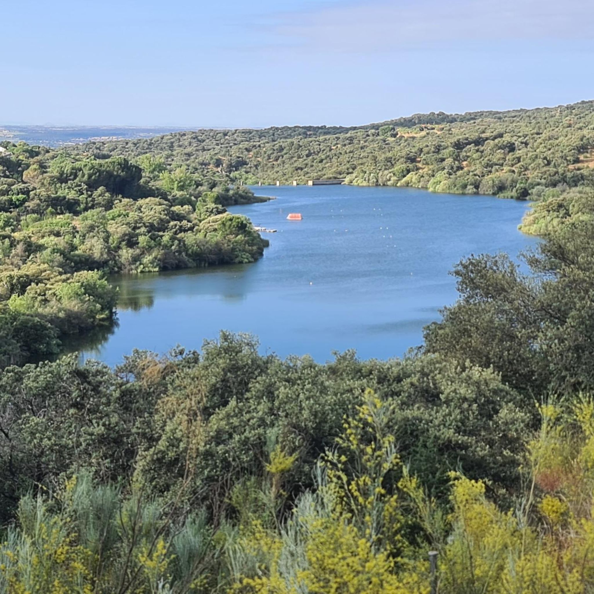
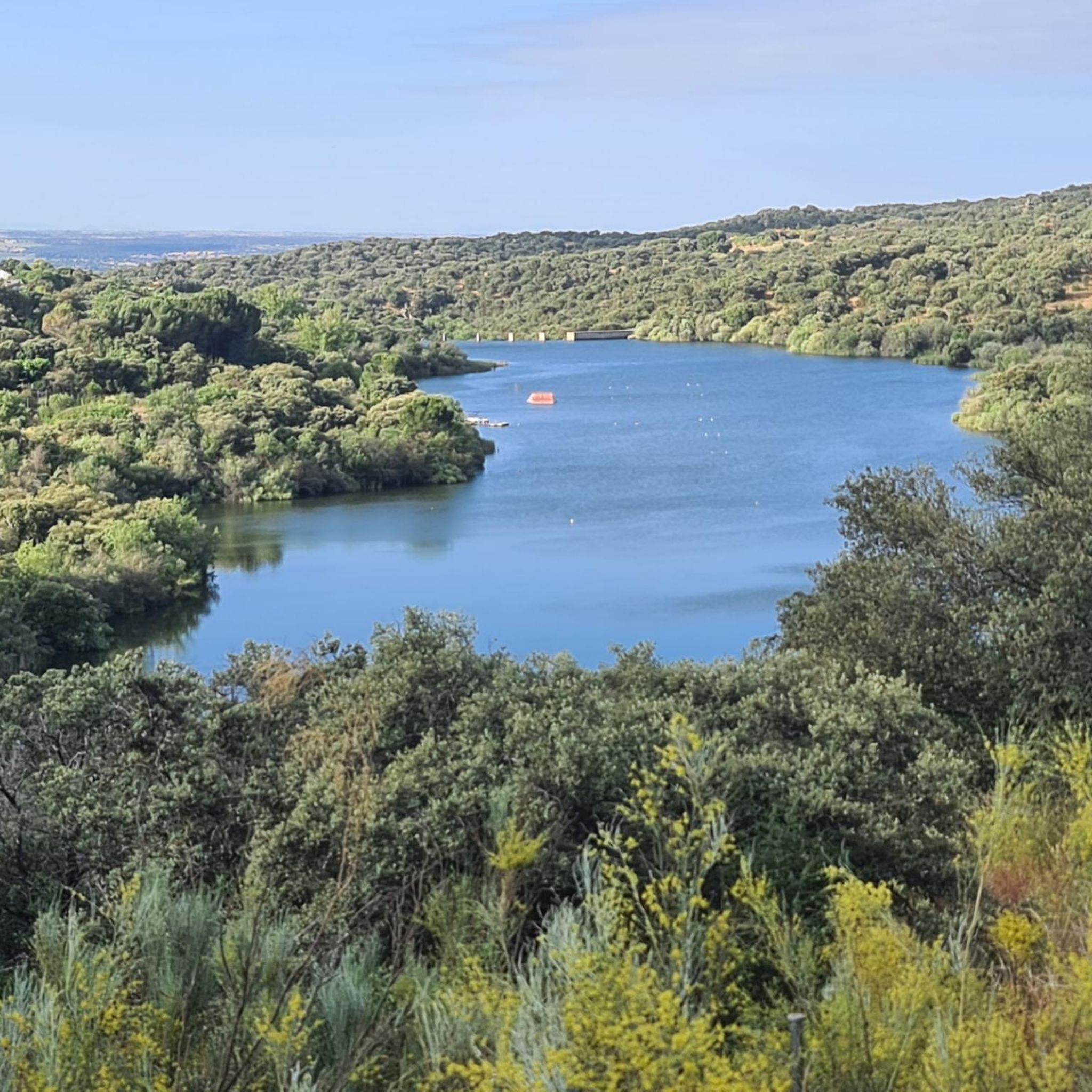
This small reservoir draws its waters from the Perales River, which originates in the nearby area of Las Machotas, north of Zarzalejo. It was built in 1970 and currently offers paths along which it is very pleasant to walk and enjoy the views. It should be noted that in the eastern part is the Madrid Nautical Ski Club, with which it is possible to practice this sport.
0
0
This stone bridge is of medieval origin and belongs to the municipality of Navalagamella. Built on the bed of the Perales River, there is no documented information about its origin or history, although it is believed that it is one of the five that were built during the Islamic domination of this area of the Peninsula.
0
0
This juniper is one of the unique trees in the Community of Madrid. Due to its size and, taking into account the slow growth of this type of tree, it is estimated that it has between 3 and 4 centuries of life. An example of resistance.
0
0
Along this beautiful stretch you can tour the entire west side of the Cerro Alarcón reservoir, located right between the municipalities of Valdemorillo and Navalagamella. On the other side, easy to see due to the narrowness of the reservoir, you can already see houses from the urbanization.
1
0
Within the ecological route of the mills, this is one of them, although if you continue north, you will be able to see more. Some of them, like the Molino Alto, are in a much better state of conservation.
1
0
This mill is within the Navalagamella mills route. In good condition, it has an explanatory panel where you can understand what it was like and how it worked.
1
0
This bridge that passes over the Perales River has two rectangular abutments and a central pier, also rectangular but with a triangular cutwater. In 2019 it underwent restoration work.
0
0
Frequently Asked Questions
What kind of terrain can I expect on the hiking trails around Embalse de Cerro Alarcón?
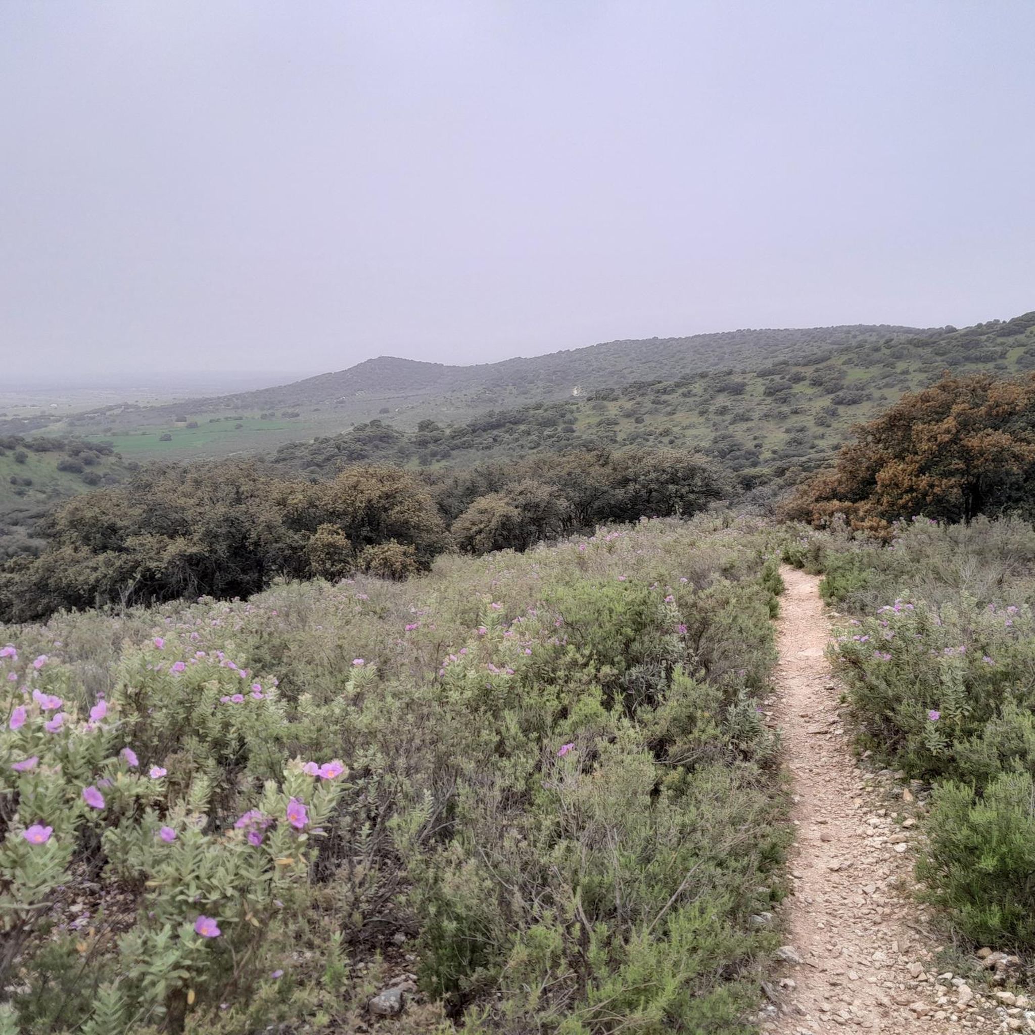
The trails around Embalse de Cerro Alarcón feature a protected natural environment with Mediterranean forest ecosystems. You'll hike through groves of pines, junipers, and holm oaks, often with scenic views of the reservoir. Many routes follow the banks of the Perales River, and you may encounter historical elements like old bridges and mill ruins.
Are there any easy, family-friendly hiking routes in Embalse de Cerro Alarcón?
Yes, Embalse de Cerro Alarcón offers several easy routes suitable for families and beginners. For example, the Route of the Mills of the Perales River is an easy 5.2 km (3.2 miles) trail that takes about 1 hour 25 minutes, passing by the ruins of ancient mills. Another easy option is the Vado del Río Perales – Puente del Hoyo loop from Navalagamella, a 4.2 km (2.6 miles) path.
What historical landmarks can I discover while hiking in the area?
The region is rich in history. You can explore the historic Puente del Pasadero, a possibly medieval bridge, which is a highlight on several routes. Additionally, the remains of old mills that once operated along the Perales River can be found, such as on the Route of the Mills of the Perales River. To the east of Navalagamella, you might also spot remnants of bunkers from the Spanish Civil War.
Are there any circular hiking routes around Embalse de Cerro Alarcón?
Many of the hiking routes in Embalse de Cerro Alarcón are circular, making them convenient for day trips. Popular circular options include the Cerro Alarcón Reservoir and Puente del Pasadero Loop, a moderate 6.5 km (4.0 miles) trail, and the Juniper of Cerro Alarcón – Puente del Pasadero loop from Cerro Alarcón, which is 8.4 km (5.2 miles).
What natural features or viewpoints should I look out for on the trails?
Hikers can enjoy continuous scenic views along the reservoir's banks, especially during twilight. A notable natural landmark is the Enebro de Cerro Alarcón, a majestic juniper tree estimated to be around 350 years old, standing 11 meters tall. This ancient tree is a highlight on the Juniper of Cerro Alarcón – Puente del Pasadero loop from Cerro Alarcón.
How many hiking trails are available in Embalse de Cerro Alarcón?
There are over 50 hiking routes available around Embalse de Cerro Alarcón, catering to various skill levels. You'll find a good mix of easy walks and moderate hikes, with a few more challenging options.
What do other hikers say about the trails in Embalse de Cerro Alarcón?
The trails in Embalse de Cerro Alarcón are highly rated by the komoot community, with an average score of 4.5 stars from over 140 reviews. Hikers often praise the diverse landscapes, the combination of natural beauty with historical points of interest, and the well-maintained paths.
Is Embalse de Cerro Alarcón accessible by public transport?
Embalse de Cerro Alarcón is located approximately 40 km from Madrid, making it an accessible destination. While specific public transport routes to trailheads can vary, local bus services often connect from Madrid to nearby municipalities like Valdemorillo and Navalagamella, from where some trails are reachable.
Are there any trails that explore the ancient mills along the Perales River?
Yes, the Route of the Mills of the Perales River is specifically designed to take you through the Perales River valley, where you can discover the ruins of ancient mills. This easy 5.2 km (3.2 miles) route offers a glimpse into the area's industrial past.
What is the best time of year to go hiking in Embalse de Cerro Alarcón?
The area around Embalse de Cerro Alarcón can experience significant winter frosts, suggesting that spring and autumn offer the most pleasant hiking conditions with mild temperatures and vibrant natural scenery. Summer can be hot, while winter hikes might be enjoyable on clear, crisp days, but be prepared for colder weather.
Are there any trails suitable for advanced hikers looking for a challenge?
While the majority of trails are easy to moderate, there is at least one difficult route available for those seeking a greater challenge. The diverse network of trails ensures that hikers of all abilities can find a suitable path.
Most popular routes around Embalse de Cerro Alarcón

Get inspired with the komoot mobile app


Explore more
Browse the best Hikes in other regions.
