The best running trails around Loch Moy
5.0
(4)
242
runners
12
runs
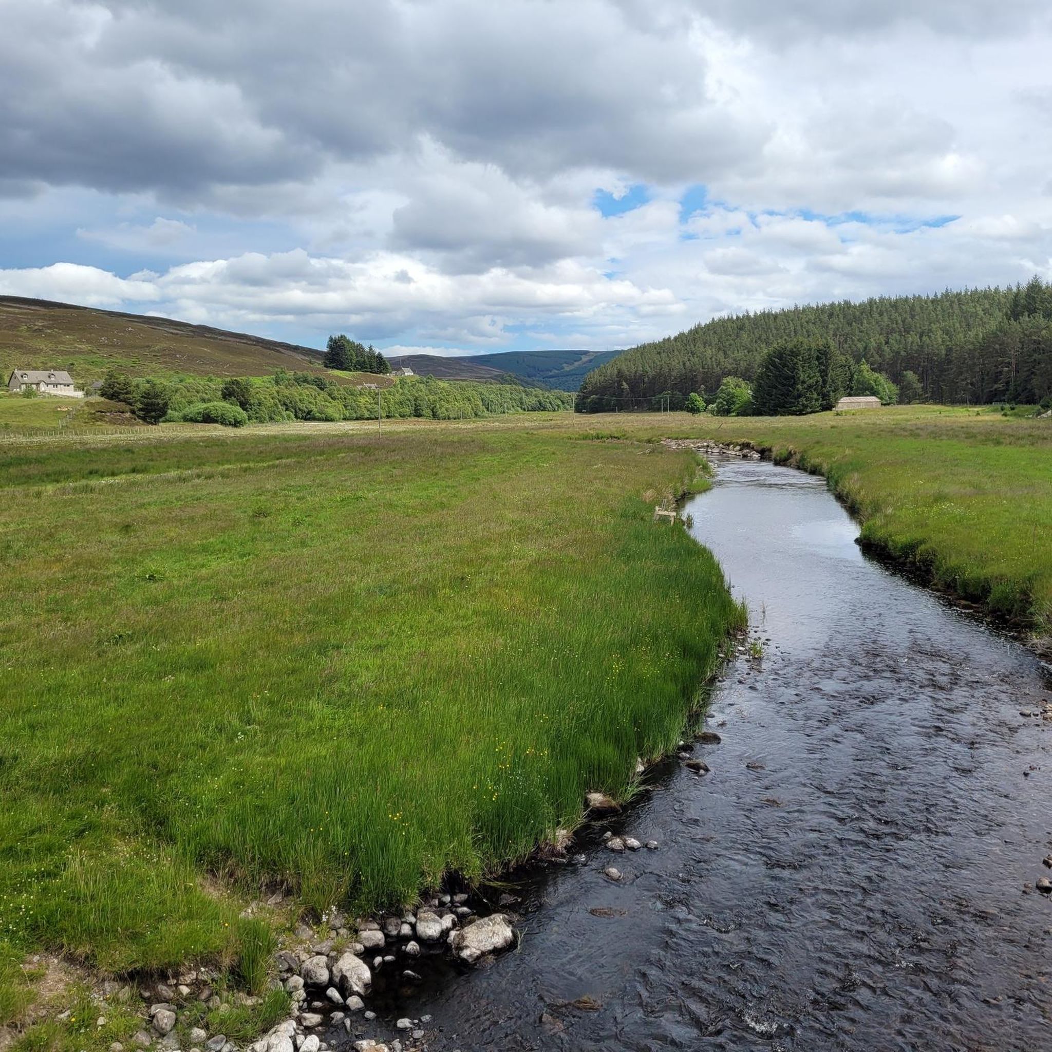
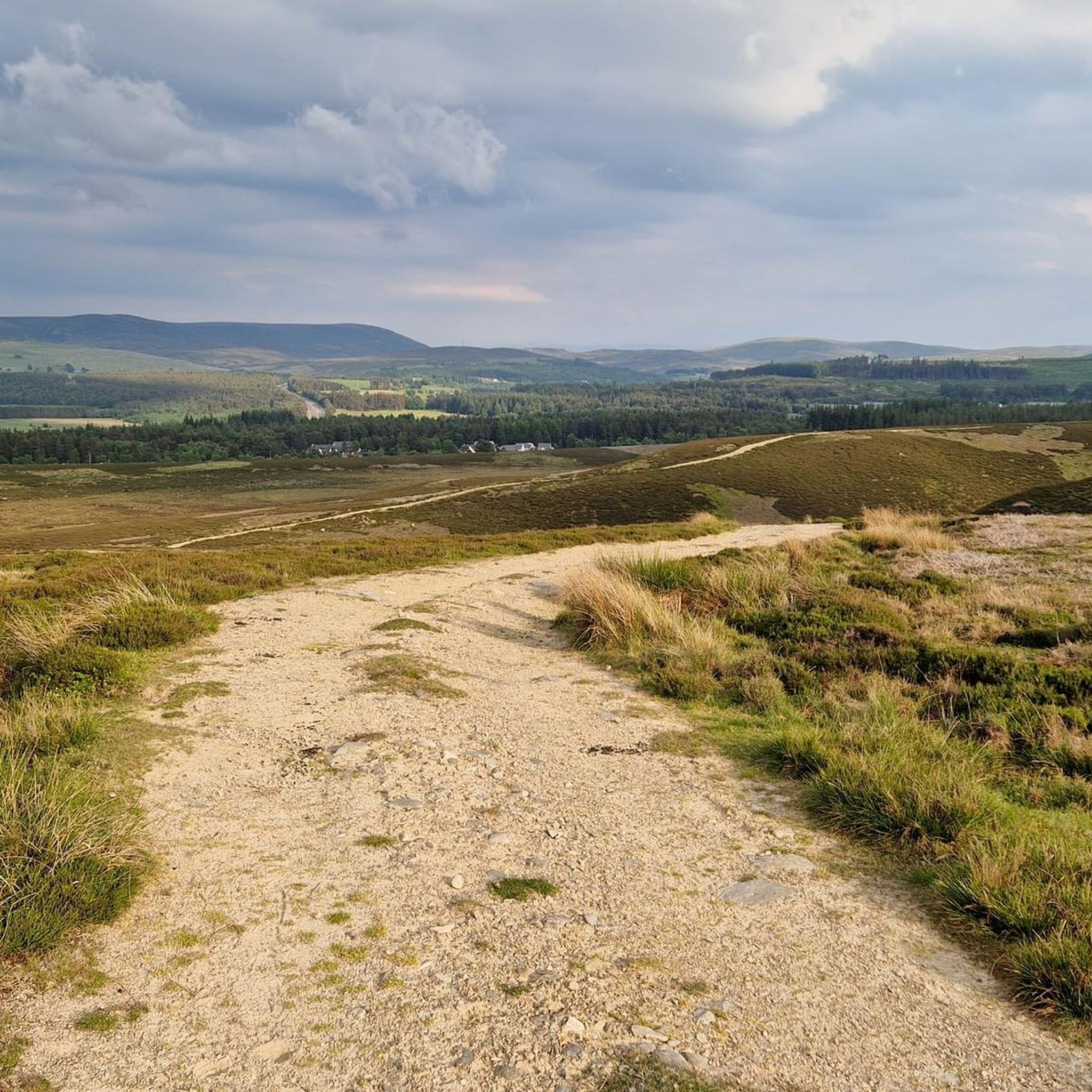
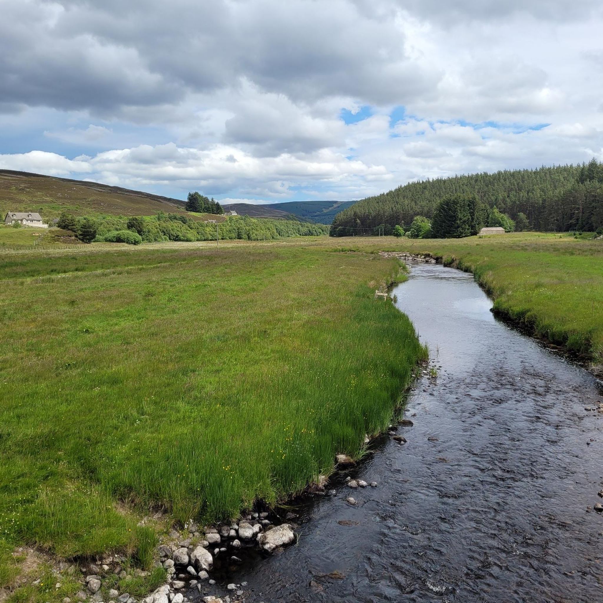
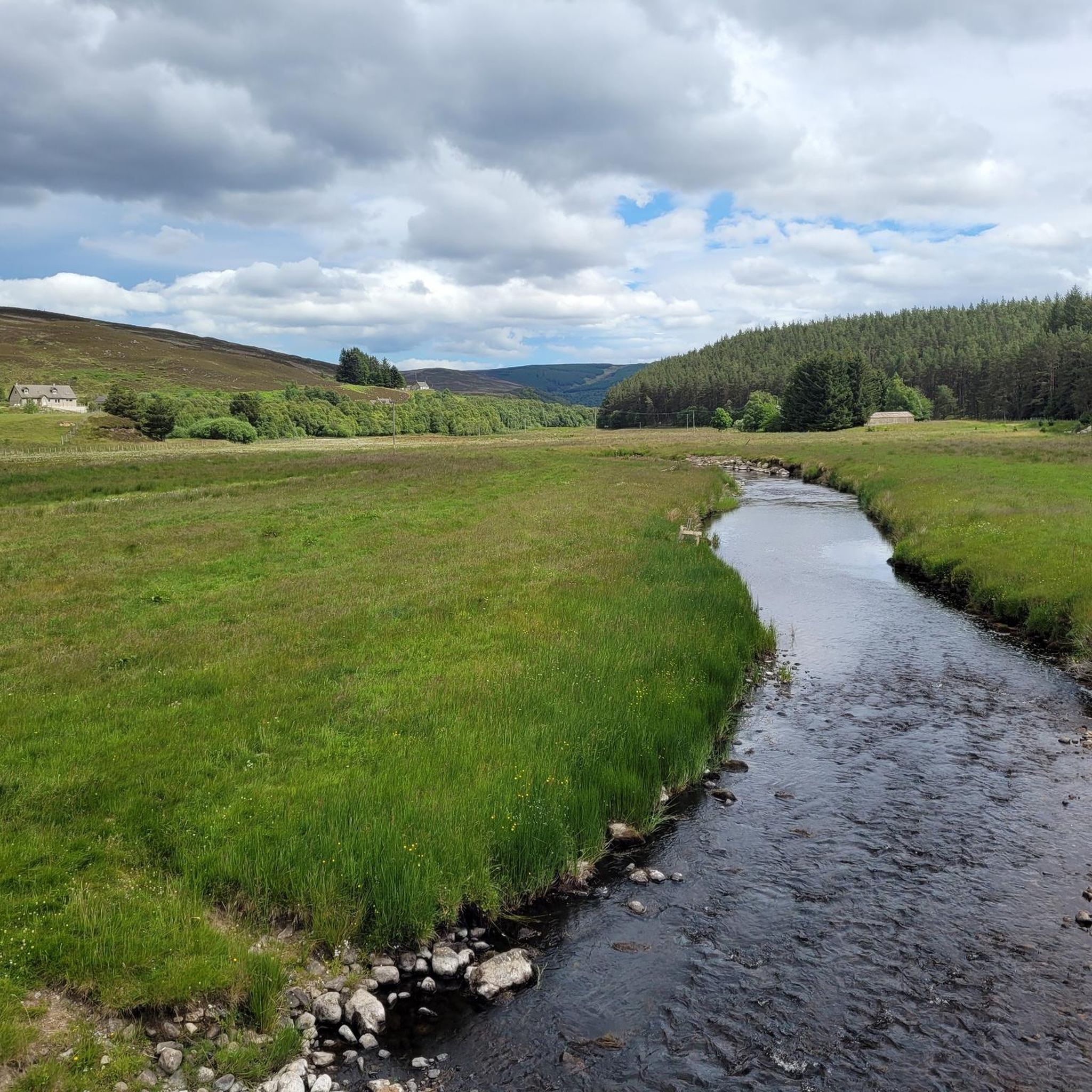
Jogging routes around Loch Moy are set within the scenic Scottish Highlands, offering a diverse landscape for runners. The region is characterized by rolling hills, river valleys, and open moorland, providing varied terrain for running. Natural waterways like the Funtack Burn and historical structures such as the Moy Viaduct are features along many paths. Running routes here provide opportunities to explore a mix of natural landscapes and local landmarks.
Best jogging routes around Loch Moy
- The most popular jogging route…
Last updated: September 28, 2026
8
runners
6.73km
00:43
50m
50m
Moderate run. Good fitness required. Mostly paved surfaces. Suitable for all skill levels.
10
runners
8.62km
00:55
60m
60m
Moderate run. Good fitness required. Mostly paved surfaces. Suitable for all skill levels.

6
runners
13.2km
01:44
360m
360m
Hard run. Very good fitness required. Mostly paved surfaces. Suitable for all skill levels.
7
runners
12.9km
01:37
310m
310m
Hard run. Very good fitness required. Mostly paved surfaces. Suitable for all skill levels.
5.0
(2)
13
runners
6.60km
00:44
80m
80m
Moderate run. Good fitness required. Mostly paved surfaces. Suitable for all skill levels.
Get access to more routes and recommendations from other explorers.
Already have an account?
Our route recommendations are based on thousands of hikes, rides, and runs completed by other people on komoot.
Start today with a free account
Your next adventure awaits.
Tips from the Community

I stopped at bus stop a few miles before, but wish I'd waited for this!
0
0

There is a good information plaque on the road bridge and a short path from a stile over the fence allows you to see the structure from close to.
0
0

Gravel track, some wee steep hills around the area but feels like your miles away deep into the moors
0
1

You can enter easily and will find tables as well as benches
1
0

Findhorn Birdge is an unusual two-span, reinforced concrete bridge spanning the River Findhorn in Tomatin. It's most striking feature are the semi-octagonal 'windows'. It was designed by the engineer Sir E Owen Williams in 1926 and now forms part of NCN 7.
2
0

Really worth a stop off at this great no nonsense distillery. One of the best
1
0
Good range of food and great views from the cafe's picture windows
0
0

Description 1897. 5-span wooden trestle railway bridge; heavy timbers, each trestle with substantial buttress props either side; all bolted and braced with metal ties. Metal plated parapet with simple strut and wire guard rail. Statement of Special Interest Built by the Highland Railway. The only wooden trestle railway bridge on a mainline railway in Scotland. Built and retained owing to difficulty of securing foundations for a steel or masonry bridge. - https://portal.historicenvironment.scot/designation/LB14887 - https://canmore.org.uk/site/14134/moy-aultnaslanach-viaduct
1
0
Frequently Asked Questions
What kind of terrain can I expect on the running routes around Loch Moy?
The running routes around Loch Moy offer a diverse landscape, characterized by rolling hills, river valleys, and open moorland. You'll find a mix of paths, from riverside sections to more challenging ascents through hilly terrain, providing varied surfaces for your run.
Are there running routes suitable for beginners or those looking for an easier jog?
Yes, while some routes involve significant elevation, there are options for different ability levels. For instance, the Carved Wildlife Bench loop from Isle of Moy is a moderate 4.2-mile (6.7 km) trail that offers a pleasant run with views of the surrounding countryside.
What are some notable landmarks or scenic views I might encounter while jogging in Loch Moy?
Many paths offer opportunities to explore both natural landscapes and local landmarks. You can expect to see natural waterways like the Funtack Burn and historical structures such as the Moy Viaduct. The Moy Viaduct – Carved Wildlife Bench loop from Isle of Moy specifically combines riverside sections with views of the historic viaduct.
Are there any longer or more challenging running trails for experienced runners?
Absolutely. For those seeking a more challenging experience, routes like the Ascent to Carn Mòraig loop from Funtack Burn offer a 7.3-mile (11.7 km) trail leading through hilly terrain with significant elevation gain, typically completed in about 1 hour 35 minutes. Another difficult option is the Tomatin Distillery – Ascent to Carn Mòraig loop from Tomatin Distillery, which is 12.6 km long.
How many jogging routes are available in the Loch Moy area?
There are over 10 dedicated jogging routes around Loch Moy, offering a variety of distances and difficulty levels to suit different preferences.
What do other runners enjoy the most about jogging in Loch Moy?
The area is highly rated by the komoot community, with an average score of 5.0 stars from 4 reviews. Runners often praise the diverse landscape, which includes rolling hills, river valleys, and open moorland, as well as the opportunities to explore both natural beauty and local landmarks.
Are there any circular running routes in Loch Moy?
Yes, many of the routes are designed as loops, allowing you to start and finish in the same location. Examples include the popular Carved Wildlife Bench loop from Isle of Moy and the Findhorn Bridge – Tomatin Viaduct loop from Tomatin Distillery.
Is there parking available near the running trails?
While specific parking details for each trailhead are best checked on the individual route pages, many routes originating from locations like the Isle of Moy or Tomatin Distillery typically have nearby parking facilities for visitors.
What is the best time of year to go running in Loch Moy?
The Scottish Highlands offer beautiful scenery year-round. However, for the most comfortable running conditions, late spring to early autumn (May to September) generally provides milder weather and longer daylight hours. Always be prepared for changeable weather, regardless of the season.
Are the running routes around Loch Moy suitable for families?
Many of the moderate and shorter loop trails can be suitable for families, depending on the children's age and fitness levels. The diverse terrain and scenic views offer an engaging experience. Always check the specific route details for distance and elevation to ensure it's appropriate for your family.
Can I bring my dog on the running trails in Loch Moy?
While specific regulations can vary, many outdoor trails in the Scottish Highlands are dog-friendly. It's generally recommended to keep dogs on a leash, especially near livestock or wildlife, and to follow the Scottish Outdoor Access Code. Always check for any specific signage or restrictions on individual routes.
What is the average distance of the running routes in Loch Moy?
The running routes in Loch Moy vary significantly in distance. You can find shorter loops around 4 miles (6.7 km), such as the Carved Wildlife Bench loop from Isle of Moy, up to longer, more challenging trails exceeding 7 miles (11.7 km), like the Ascent to Carn Mòraig loop from Funtack Burn.

Get inspired with the komoot mobile app


Explore more
Browse the best Running Trails & Routes in other regions.
