The best walks and hikes around Loch Moy
4.6
(13)
112
hikers
6
hikes
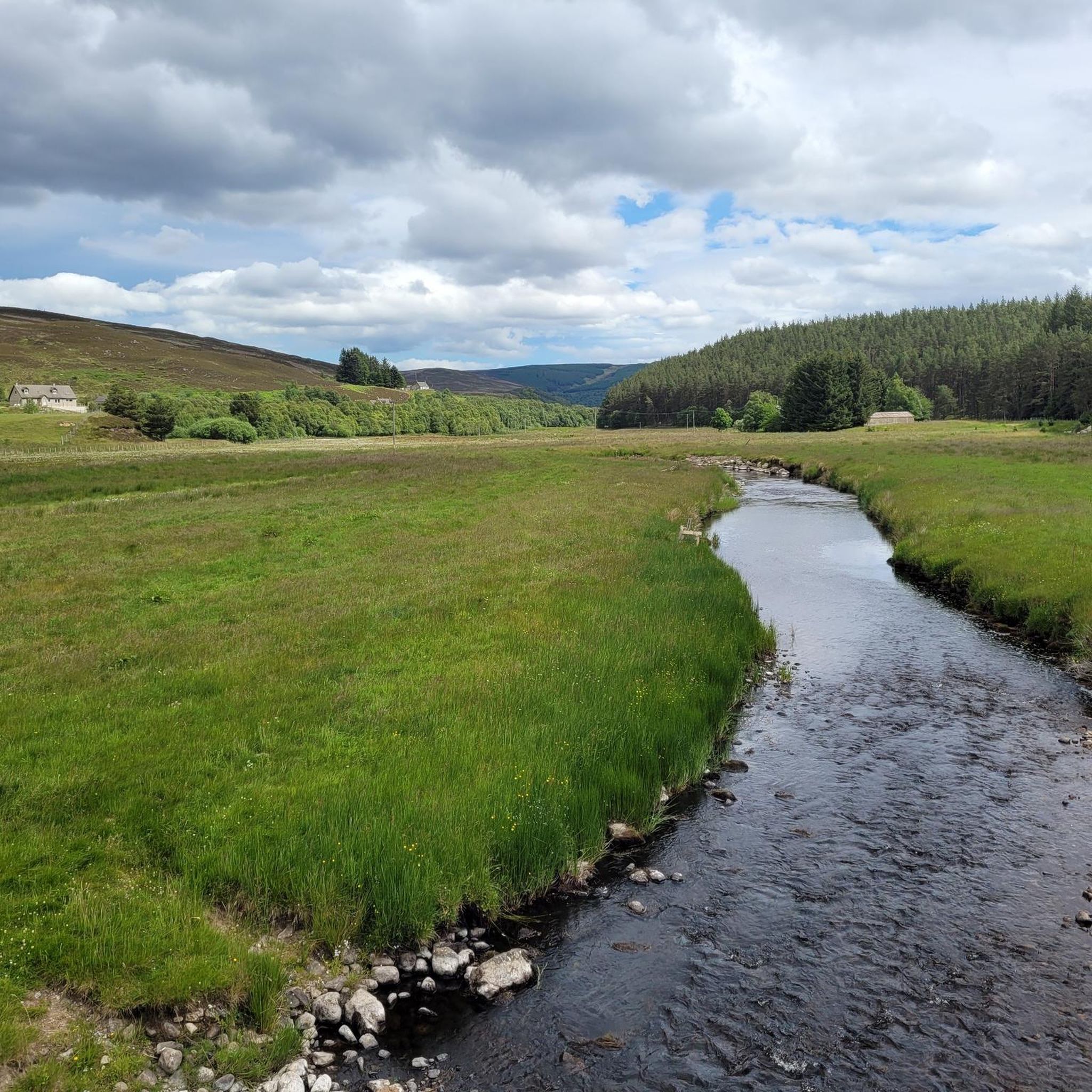
Hiking around Loch Moy in the Scottish Highlands offers a diverse landscape for outdoor exploration. The region is characterized by the tranquil waters of Loch Moy, surrounded by rolling hills and forested areas. Trails often feature varied elevation, leading through woodlands and alongside river valleys. This combination provides a range of hiking experiences, from gentle forest paths to more challenging hill ascents.
Best hiking trails around Loch Moy
- The most popular hiking route is Càrn na h-Easgainn Summit – Càrn na h-Easgainn Trig Point loop from Isle of Moy, a 4.3 miles (6.9 km) trail that takes 2 hours 14 minutes to complete. This moderate route includes a significant ascent to a hill summit.
- Another top favourite among local hikers is Forest Pathway Near Inverness – Ascent to Carn Mòraig loop from Funtack Burn, a moderate 7.5 miles (12.0 km) path. This trail combines forest sections with an ascent to Carn Mòraig.
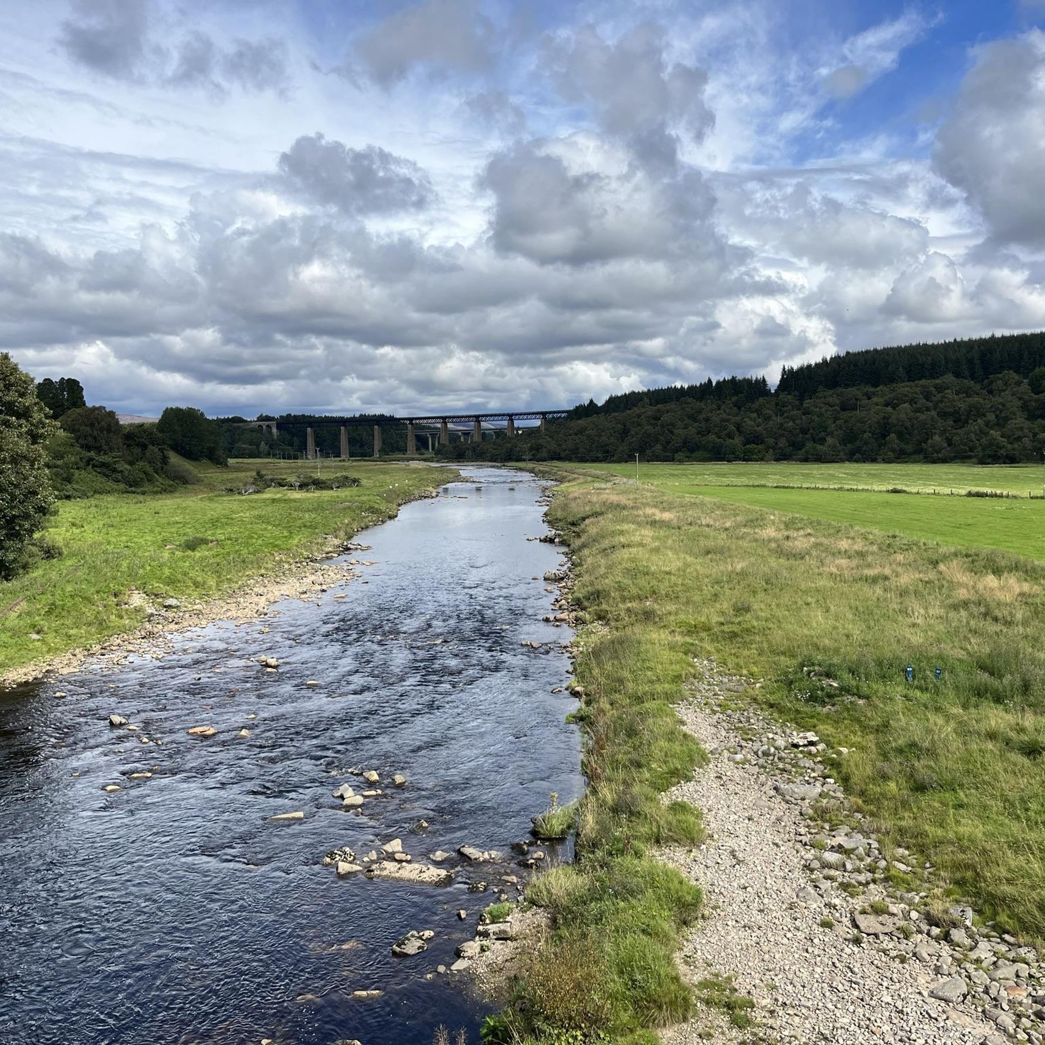
- Local hikers also love the Findhorn Bridge – Tomatin Viaduct loop from Tomatin Distillery, a 10.3 miles (16.6 km) trail leading through river valleys and past historic structures, often completed in about 4 hours 39 minutes.
- Hiking around Loch Moy is defined by its lake views, hill ascents, and forest pathways. The network offers options for different ability levels, from easy strolls to moderate climbs.
- The routes in Loch Moy are highly rated by the komoot community with an average score of 4.9 stars from over 9 reviews. More than 100 hikers have used komoot to explore Loch Moy's varied terrain.
Last updated: September 28, 2026
4.8
(4)
59
hikers
Moderate hike. Good fitness required. Easily-accessible paths. Suitable for all skill levels.
4.0
(3)
8
hikers
13.2km
03:52
360m
360m
Moderate hike. Good fitness required. Easily-accessible paths. Suitable for all skill levels.

4.8
(5)
7
hikers
16.6km
04:39
340m
340m
Moderate hike. Good fitness required. Easily-accessible paths. Suitable for all skill levels.
4.0
(3)
8
hikers
13.7km
04:00
370m
370m
Moderate hike. Good fitness required. Easily-accessible paths. Suitable for all skill levels.
23
hikers
6.02km
01:34
30m
30m
Easy hike. Great for any fitness level. Easily-accessible paths. Suitable for all skill levels.
Our route recommendations are based on thousands of hikes, rides, and runs completed by other people on komoot.
Start today with a free account
Your next adventure awaits.
Tips from the Community

There is a bothy found if you head northwest following the path from the trig
0
0
There is space for around 4-5 cars here to start Carn na h-easgainn. There is no parking further along the route as you walk past houses and private parking spaces. Sheep around so keep dogs on a lead
1
0

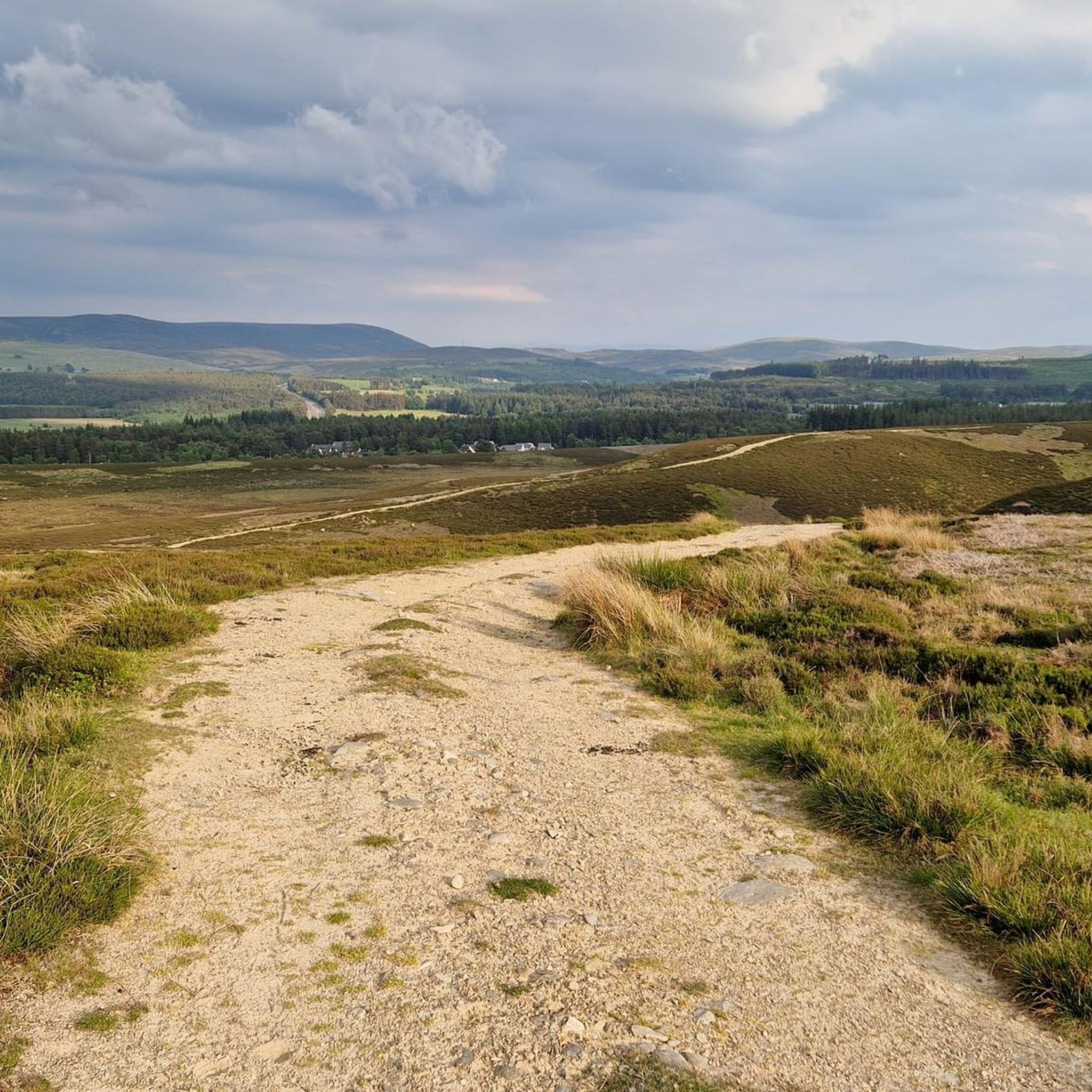
Gravel track, some wee steep hills around the area but feels like your miles away deep into the moors
0
1

You can enter easily and will find tables as well as benches
1
0

Findhorn Birdge is an unusual two-span, reinforced concrete bridge spanning the River Findhorn in Tomatin. It's most striking feature are the semi-octagonal 'windows'. It was designed by the engineer Sir E Owen Williams in 1926 and now forms part of NCN 7.
2
0

Really worth a stop off at this great no nonsense distillery. One of the best
1
0
Good range of food and great views from the cafe's picture windows
0
0

Beautiful bridge with many arches in Tomatin.
1
0
Frequently Asked Questions
What kind of landscape can I expect when hiking around Loch Moy?
Loch Moy offers a diverse landscape characterized by the tranquil waters of the loch itself, surrounded by rolling hills and forested areas. You'll find trails leading through woodlands, alongside river valleys, and up to hill summits, providing varied scenery throughout your hike.
Are there easy hiking options available in Loch Moy?
Yes, Loch Moy has options for various ability levels. For an easier experience, consider the Trail Marker in the Forest loop from Dell, which is an easy 6.0 km (3.7 miles) route through the forest.
What are the typical trail difficulties and elevations in the area?
The trails around Loch Moy range from easy strolls to moderate climbs. While there are no routes classified as 'difficult' in our selection, many moderate trails involve significant elevation gain. For example, the Càrn na h-Easgainn Summit loop includes an ascent of over 300 meters to a hill summit.
Are there any circular hiking routes around Loch Moy?
Yes, many of the popular routes around Loch Moy are circular, allowing you to start and end at the same point. Examples include the Càrn na h-Easgainn Summit – Càrn na h-Easgainn Trig Point loop and the Forest Pathway Near Inverness – Ascent to Carn Mòraig loop.
What natural features or landmarks can I see on the trails?
Hiking around Loch Moy offers views of the loch itself, opportunities for hill ascents to summits like Càrn na h-Easgainn and Carn Mòraig, and pathways through forests and along river valleys. You can also encounter historic structures, such as those found on the Findhorn Bridge – Tomatin Viaduct loop.
Is Loch Moy suitable for family hikes?
Yes, Loch Moy offers routes suitable for families, particularly the easier forest paths. The Trail Marker in the Forest loop from Dell is an easy option that could be enjoyable for families looking for a less strenuous walk.
Can I bring my dog on the hiking trails in Loch Moy?
Generally, dogs are welcome on hiking trails in the Scottish Highlands, including around Loch Moy. However, it's always recommended to keep dogs on a lead, especially near livestock or during ground-nesting bird seasons, and to follow the Scottish Outdoor Access Code.
What is the best time of year to hike in Loch Moy?
The best time to hike in Loch Moy is typically from spring through autumn (April to October) when the weather is milder and daylight hours are longer. Summer offers the warmest temperatures, while spring and autumn provide beautiful scenery with fewer midges. Winter hiking is possible but requires appropriate gear and experience due to colder temperatures and potential snow.
How many hiking trails are there in Loch Moy?
There are several hiking routes available around Loch Moy, with komoot featuring 6 distinct tours in the area, ranging from easy forest walks to moderate hill ascents.
What do other hikers say about the trails in Loch Moy?
The routes in Loch Moy are highly rated by the komoot community, with an average score of 4.9 stars from over 9 reviews. Hikers often praise the varied terrain, from tranquil lochside paths to rewarding hill ascents, and the overall natural beauty of the Scottish Highlands setting.
Is there public transport available to reach Loch Moy hiking areas?
While specific public transport links directly to all trailheads around Loch Moy might be limited, Inverness is the nearest major transport hub. From there, local bus services or taxis may be available to reach the general vicinity of Loch Moy. Planning ahead is recommended.
Where can I park when visiting Loch Moy for a hike?
Parking availability can vary by trailhead. For routes starting from specific locations like Tomatin Distillery or the Isle of Moy, there may be designated parking areas. It's advisable to check specific route details or local signage for parking information before your visit.

Get inspired with the komoot mobile app


Explore more
Browse the best Hikes in other regions.
