The best walks and hikes around Loch Trool
4.3
(266)
2,022
hikers
39
hikes
Hiking trails around Loch Trool are situated within the Galloway Forest Park in Scotland, offering a diverse landscape for outdoor activities. The region is characterized by the freshwater loch itself, surrounded by dense woodlands, and features prominent hills and mountains, including The Merrick, the highest peak in the Southern Uplands. The terrain includes established forest paths, lochside routes, and more challenging mountain ascents.
Best hiking trails around Loch Trool
- The most popular hiking route is Loch Trool loop, a 6.1 miles (9.8 km) trail that takes 2 hours 40 minutes to complete, offering a full circuit around the loch's shores.
- Another top favourite among local hikers is Merrick Trail, a moderate 8.0 miles (12.9 km) path. This route leads to The Merrick summit, providing expansive views of the surrounding hills and glens.
- Local hikers also love the The Merrick Summit – Bruce's Stone Memorial loop from Buchan Burn, a 9.6 miles (15.5 km) trail leading through challenging mountain terrain, often completed in about 5 hours 19 minutes.
- Hiking around Loch Trool is defined by lochside paths, forest trails, and mountain ascents, with options available for various ability levels from easy walks to difficult climbs.
- The routes in Loch Trool are highly rated by the komoot community with an average score of 4.3 stars from over 200 reviews. More than 1,900 hikers have used komoot to explore Loch Trool's varied terrain.
Last updated: July 9, 2026
4.7
(84)
544
hikers
9.85km
02:40
140m
140m
Embark on the Loch Trool loop, a moderate hiking route that guides you through the varied landscapes of Galloway Forest Park. You will traverse good gravel paths and sections of beaten earth, winding through ancient woodlands. As you hike, expect expansive views of the tranquil Loch Trool and the surrounding rugged hills, with glimpses of the Merrick in the distance. This 6.1-mile (9.8 km) journey involves a manageable 458 feet (140 metres) of elevation gain, typically taking around 2 hours and 40 minutes to complete.
Before you set out on this adventure, be aware that timber harvesting operations in Galloway Forest Park can sometimes lead to partial trail closures or diversions. It is always a good idea to check local conditions and any official updates before your visit to ensure a smooth trip. The area is also renowned for its dark skies, making it an excellent location for stargazing if you plan an evening visit or an overnight stay nearby. Consider starting your hike earlier in the day to fully enjoy the scenery and complete the moderate loop before dusk.
Beyond the scenic beauty, the route offers a touch of history as you pass by the significant Bruce's Stone, commemorating Robert the Bruce's victory. You will also encounter numerous waterfalls along the way, such as the picturesque Gairland Burn, adding to the natural charm of the trail. This loop provides a well-rounded experience, blending natural beauty with historical significance within the expansive Galloway Forest Park.
4.8
(26)
301
hikers
12.9km
04:42
820m
820m
Embark on the Merrick Trail, a moderate hike that takes you through the diverse landscapes of Galloway Forest Park. You will traverse well-defined paths alongside Buchan Burn before encountering more rocky sections as you ascend. The journey covers 8.0 miles (12.9 km) with a significant elevation gain of 2699 feet (823 metres), typically requiring about 4 hours and 41 minutes to complete. Your efforts are rewarded at The Merrick Summit, offering expansive 360-degree panoramic views over the Galloway Hills and Loch Trool. This route provides a challenging yet accessible experience, immersing you in Southern Scotland's highest peak.
To begin your hike, head towards Bruce's Stone, which serves as a convenient starting point for many routes in the area. You should wear waterproof hiking boots, as the trail can feature wet and boggy areas, especially after rain. If you plan to tackle this route during winter months, be prepared with specialized gear such as ice axes and crampons for safety. Always check local weather conditions before you set out, as mountain weather can change rapidly.
The Merrick Trail stands out as a prominent route in Southern Scotland, leading you to the region's highest point. As you hike, you might even spot the Culsharg Bothy, a basic shelter used by hikers, adding a touch of rustic charm to the journey. The panoramic views from the summit extend across various lochs and the vast Galloway Hills, making it a memorable experience for those seeking a rewarding mountain adventure.

Sign up for free
4.7
(10)
83
hikers
15.5km
05:19
810m
810m
Hard hike. Very good fitness required. Easily-accessible paths. Suitable for all skill levels.
4.6
(10)
82
hikers
9.08km
03:25
600m
600m
Moderate hike. Good fitness required. Easily-accessible paths. Suitable for all skill levels.
3.8
(4)
19
hikers
14.3km
05:11
850m
860m
Hard hike. Very good fitness required. Easily-accessible paths. Suitable for all skill levels.
Get access to more routes and recommendations from other explorers.
Sign up for free
Already have an account?
Our route recommendations are based on thousands of hikes, rides, and runs completed by other people on komoot.
Start today with a free account
Your next adventure awaits.
Login or Signup

Tips from the Community

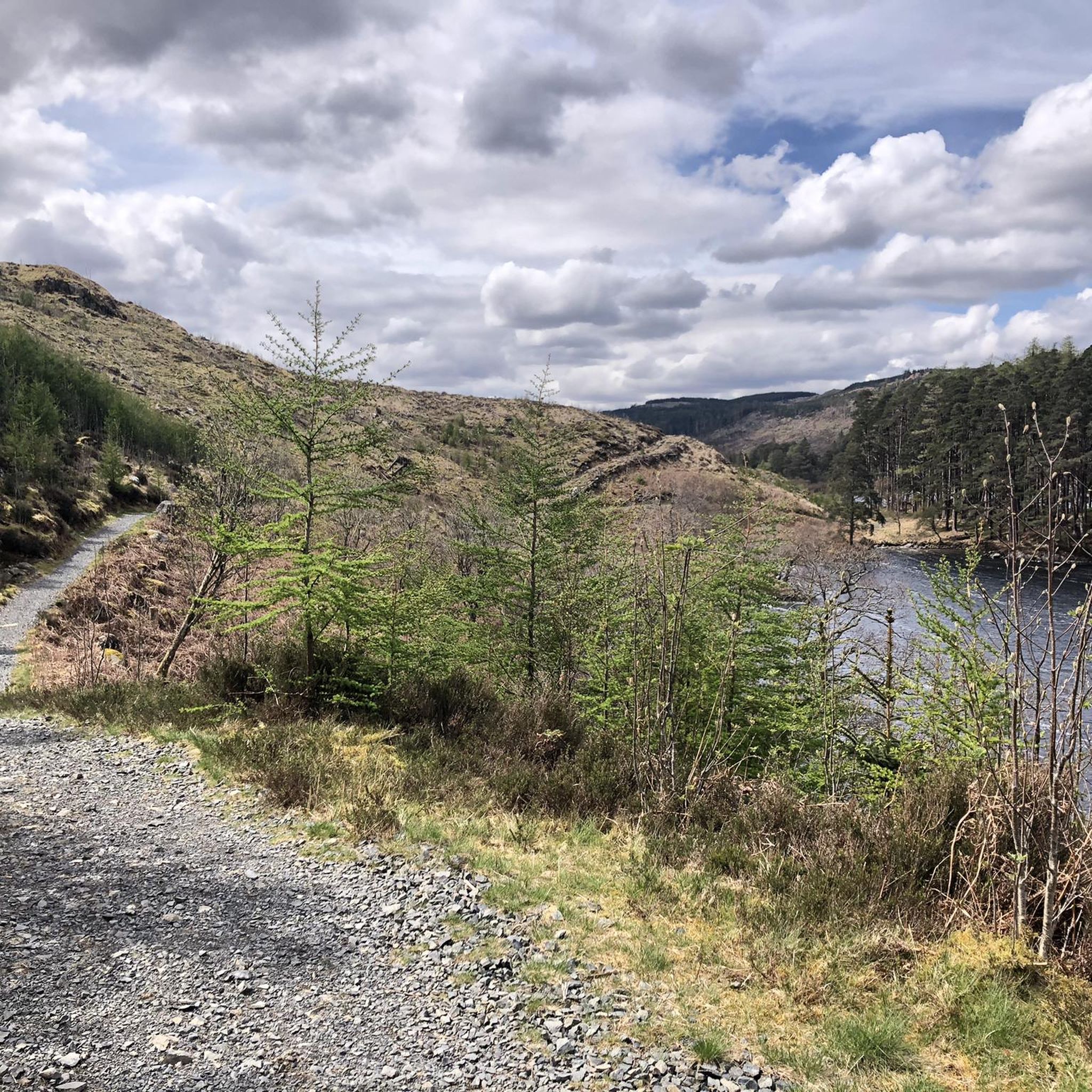
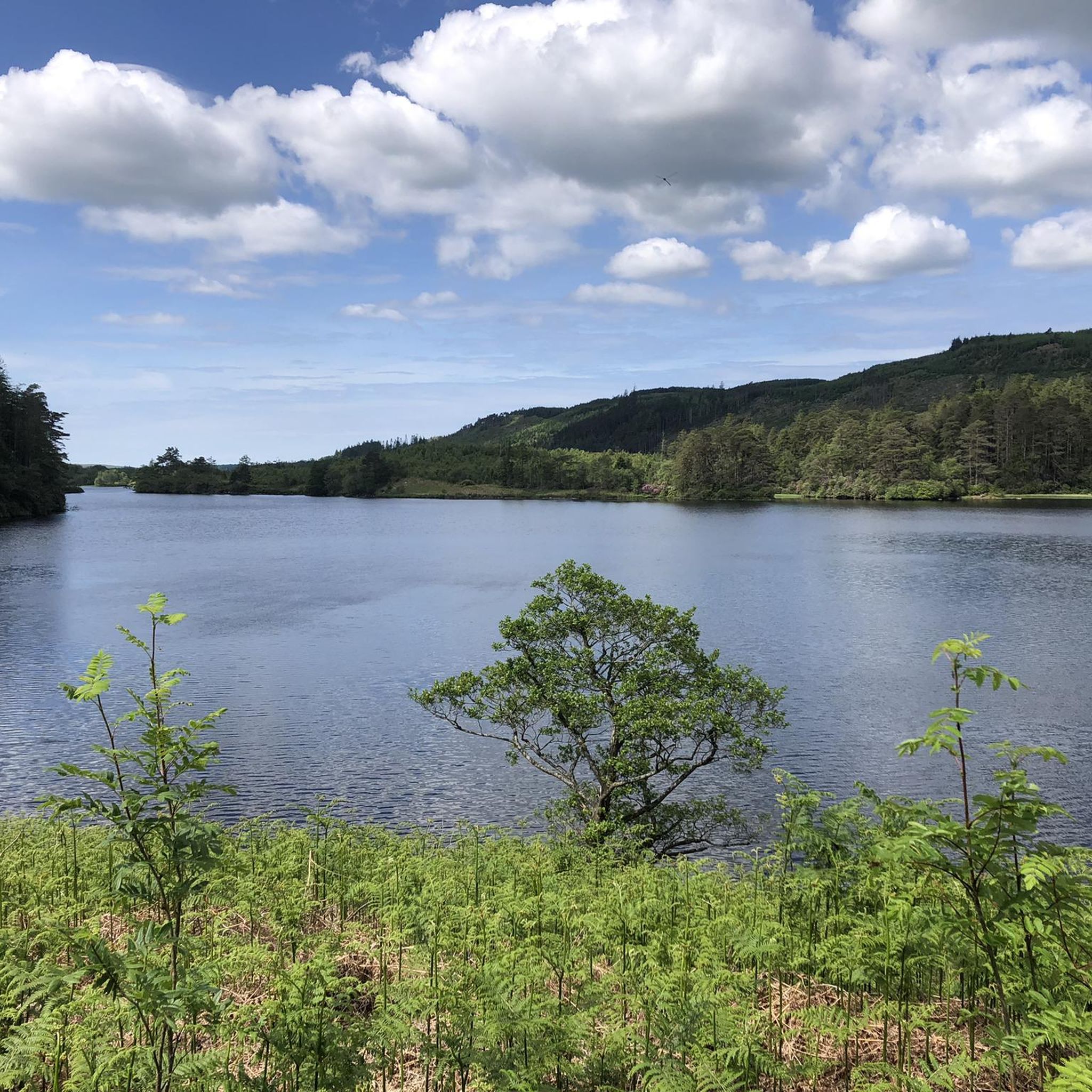
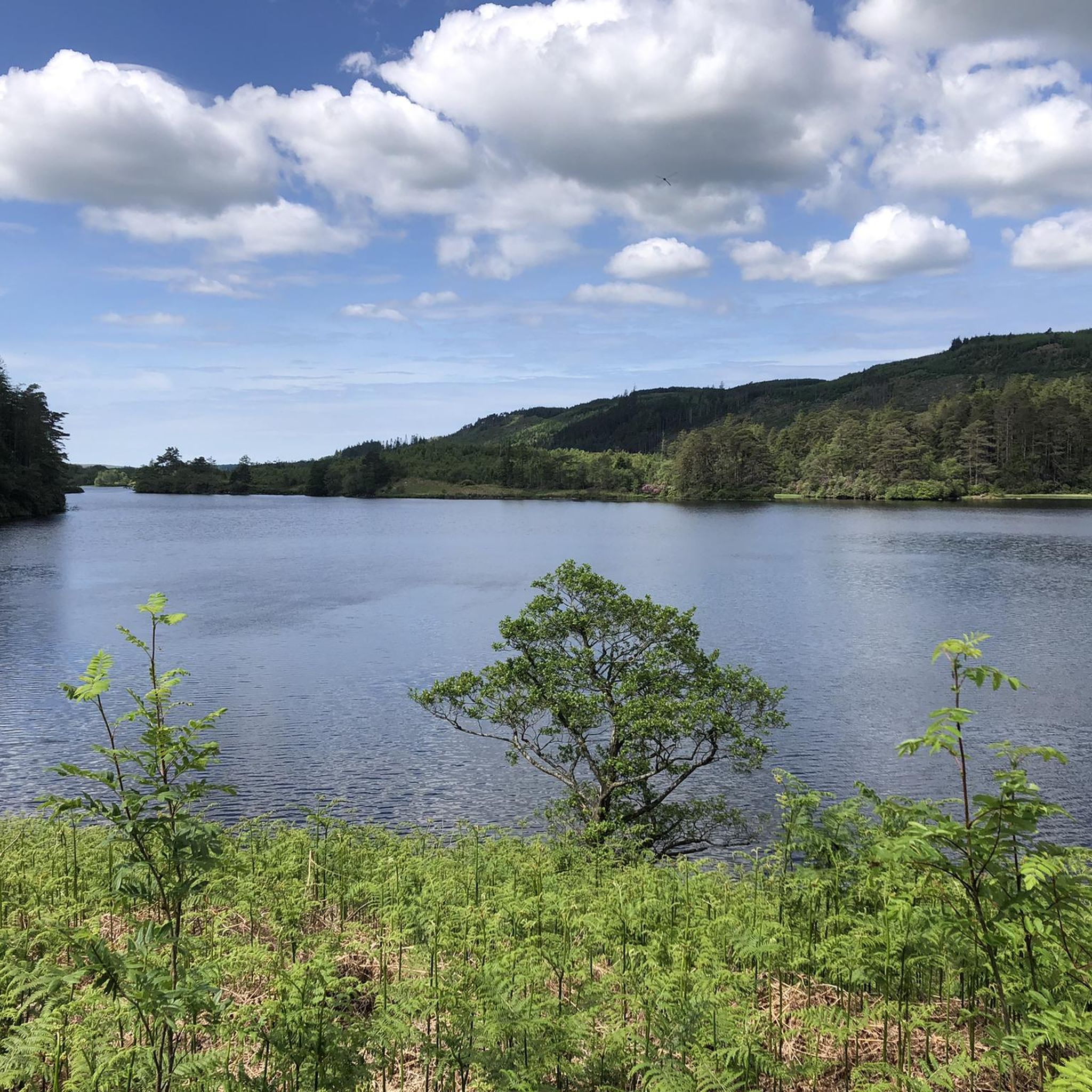
Very shallow if it’s been dry, not worth visiting for swimming but good view of the loch.
0
0
The landscape is stunningly beautiful, but the paths are not as easy to walk as advertised. The barely discernible path up leads almost entirely through muddy, boggy terrain. We often sank ankle-deep, at times knee-deep. From Loch Enech onwards, there is no discernible path; the ground is drier, but eroded and full of holes. The way down is the official route, and considerably better. They've tried to make everything more walkable with fleece and gravel, but the water has already washed away much of it. Unfortunately, it's hard to enjoy the scenery while walking, as you're so busy trying not to slip and sink with every step. In the end, we were glad to be back down with our bones intact. The path can only be recommended with reservations.
0
0

Wide grassy ridge between Benyellary and Merrick summits. Very windy when I was on it, with beautiful views down to valley/glen
0
0
The bench is no longer there. There was a swallows nest in the room to left of door so try not to disturb it. Beautiful views from it and neighbouring burn
0
0

when the water level is fine it's lovely place for a dip and cooling off, sadly it is too smal for a swim. lower down the path there may be a better spot but I like slightly hidden spots so not everyone had to see me
0
0

2024 update: There's no windows or doors, but there's a roof that looks pretty solid. Use at your own risk, of course 🙏
0
0

Great little hike with little foot traffic and a free carpark. Lovely views when the clouds lift and babbling brooks all over.
1
0

Please consult the large notice board at the trailhead. This is a commercial forest and currently, timber harvesting is taking place along the southern flank of the Loch (hence tha barriers encountered by abp1). There are diversions in place to avoid the southern flank, rerouting via the north shore. This is detailed on the notice board. Also, please be aware that this is not an official MTB route, and taking a bike along it is not a good idea since the trail will have walkers of all abilities along its length, most of whom will not be expecting MTBs at all.
0
0
Frequently Asked Questions
What are the general difficulty levels of hiking trails around Loch Trool?
Loch Trool offers a wide range of hiking difficulties. You'll find approximately 15 easy routes, 18 moderate trails, and 6 more challenging options. The terrain varies from gentle lochside paths to demanding mountain ascents, catering to different fitness levels.
Are there family-friendly hiking options around Loch Trool?
Yes, Loch Trool has several family-friendly trails. An excellent choice is the Loch Trool South Shore – Bruce's Stone Memorial loop from Water of Trool, which is an easy 7.1 km (4.4 miles) route. These easier paths often stick to the lochside or well-maintained forest tracks, suitable for most ages.
Can I bring my dog on the hiking trails around Loch Trool?
Dogs are generally welcome on trails around Loch Trool, which is part of the Galloway Forest Park. However, it's crucial to keep them under close control, especially near livestock or ground-nesting birds. Always follow the Scottish Outdoor Access Code, which advises keeping dogs on a lead or close at heel.
What are some popular circular walks around Loch Trool?
The most popular circular route is the Loch Trool loop, a 9.8 km (6.1 miles) trail that takes you around the entire loch. For a more challenging circular option, consider The Merrick Summit – Bruce's Stone Memorial loop from Buchan Burn, which is 15.5 km (9.6 miles) and includes a significant mountain ascent.
What kind of natural attractions can I see along the hiking trails?
The trails around Loch Trool offer stunning natural beauty. You can explore the freshwater Loch Trool itself, dense woodlands, and impressive hills. Many routes provide panoramic views, such as the View over Loch Trool from the Southern Upland Way. The area is also known for its dark skies, being part of a Dark Sky Park.
Are there any historical landmarks or points of interest near the trails?
Yes, a significant landmark is Bruce's Stone, commemorating Robert the Bruce's victory in the Battle of Glen Trool. You can visit the Glen Trool Memorial and River Trail, which offers insights into the area's history. Many routes, like the Bruce's Stone Memorial – Benyellary Summit loop from Buchan Burn, incorporate this historical site.
What is the best time of year to go hiking in Loch Trool?
Spring and autumn are often considered the best times for hiking in Loch Trool due to milder temperatures, fewer midges, and beautiful scenery (wildflowers in spring, vibrant colours in autumn). Summer offers longer daylight hours but can be busier. Winter hiking is possible but requires appropriate gear and experience due to potentially challenging conditions.
What do other hikers enjoy most about hiking in Loch Trool?
The area is highly rated by the komoot community, with an average score of 4.3 stars from over 200 reviews. Reviewers often praise the diverse landscape, from tranquil lochside paths to challenging mountain ascents, and the sense of wilderness within the Galloway Forest Park. The well-maintained trails and stunning views are frequently highlighted.
Is public transport available to reach Loch Trool?
Public transport options directly to Loch Trool are limited due to its remote location within Galloway Forest Park. While some bus services operate to nearby towns like Newton Stewart, reaching the trailheads typically requires a car. Consider carpooling or checking local taxi services from the nearest transport hubs.
Where can I find parking for the hiking trails around Loch Trool?
Designated parking areas are available, particularly near popular trailheads. The car park at Bruce's Stone is a common starting point for many routes, including the Merrick Trail. Always use official parking facilities and arrive early during peak seasons to secure a spot.
Are there any cafes or pubs near the Loch Trool hiking trails?
While Loch Trool itself is quite remote, the nearby village of Glentrool offers some amenities, including a visitor centre and a cafe. It's advisable to pack sufficient food and drink for your hike, especially for longer routes, as options directly on the trails are scarce.
Can I go wild swimming in Loch Trool?
Wild swimming is possible in Loch Trool, offering a refreshing experience in a beautiful natural setting. However, always exercise caution, be aware of water temperatures, potential currents, and ensure you know how to exit the water safely. It's best to go with company and inform someone of your plans.
Most popular routes around Loch Trool
Most popular attractions around Loch Trool

Get inspired with the komoot mobile app


Explore more
Browse the best Hikes in other regions.
