The best cycling routes around Drumcraw
5
riders
5
rides
Touring cycling around Drumcraw, Northern Ireland, offers routes through diverse and scenic landscapes. The region features views across the Sillees River, Ross Lough, and Carran Lough, with terrain gently rising towards Tullybrack Hill. Lush green farmland and extensive woodlands provide a verdant backdrop for rides, while Boa Island on Lough Erne offers additional waterside perspectives. These natural features create a varied environment for touring cyclists.
Best touring cycling routes around Drumcraw
- The most popular touring cycling route is Loughshore Trail:…
Last updated: August 8, 2026
2
riders
28.1km
01:43
140m
140m
Easy bike ride. Great for any fitness level. Mostly paved surfaces. Suitable for all skill levels.
1
riders
20.8km
01:15
140m
140m
Easy bike ride. Great for any fitness level. Mostly paved surfaces. Suitable for all skill levels.

Sign up for free
53.9km
04:03
560m
560m
Hard bike ride. Very good fitness required. Mostly paved surfaces. Suitable for all skill levels.
72.0km
04:22
540m
530m
Hard bike ride. Very good fitness required. Mostly paved surfaces. Suitable for all skill levels.
2
riders
45.3km
02:43
330m
330m
Moderate bike ride. Good fitness required. Mostly paved surfaces. Suitable for all skill levels.
Our route recommendations are based on thousands of hikes, rides, and runs completed by other people on komoot.
Start today with a free account
Your next adventure awaits.
Login or Signup
Popular around Drumcraw


Tips from the Community

For cyclists following the 'Lough Neagh Cycle Way' (National Cycle Route 94), the Maghery footbridge is an iconic resting point and an essential link. This elegant, modern bridge spans the mouth of the Upper Bann as it enters the lough.
8
0
As you cycle into Cookstown, something immediately strikes you: the main road (William Street) is unusually wide and perfectly straight. With a length of over two kilometers, Cookstown claims the title of the longest and widest main street on the entire island. This unique 17th-century design gives the town a grandeur rarely found in other Irish market towns. Cookstown lies exactly on the border where the fertile lands around Lough Neagh transition into the rugged foothills of the Sperrin Mountains. For cyclists, it's an ideal hub: you'll find all the necessary amenities (bike shops, supermarkets, and excellent lunch spots) before venturing into the more remote countryside.
7
0
As you cycle through the rolling landscape of County Tyrone, the Wellbrook Beetling Mill is an absolute must for a stopover. Situated in an idyllic, wooded stream valley along the Ballinderry River, this 19th-century water mill provides a stark contrast to the tranquility of its surroundings. This is the last working 'beetling mill' in the United Kingdom. "Beetling" was the final step in traditional Irish linen production: using enormous wooden hammers (beetles), powered by a water wheel nearly five metres high, the linen was processed for hours until it acquired its characteristic sheen. When the mill is running, you can hear the rhythmic thudding from afar – an impressive sound that takes you straight back to the industrial heyday of Northern Ireland.
8
0
High above Cookstown, at the foot of the impressive Sperrin Mountains, you will find the Beaghmore Stone Circles. This is one of Ireland's most fascinating archaeological sites. Only rediscovered in the 1940s during peat cutting, the bog revealed a complex of seven stone circles, ten stone rows, and numerous Bronze Age burial mounds. For a cyclist, the road to Beaghmore is an experience in itself. The route takes you away from the inhabited world into a vast, quiet landscape where the wind has free rein. The complex itself exudes an enormous sense of peace and is the perfect place to get off your bike and soak up the prehistoric atmosphere.
10
0

The Maghery Footbridge on the edge of Lough Neagh offers a small moment of peace in the midst of the expansive landscape. As you cross the bridge, your gaze glides over the gentle waters of the largest lake in the British Isles. In good weather, the clouds are impressively reflected on the surface of the water, making the scene look almost like a painting. Even when the sky is cloudy, the lake has a special atmosphere that invites you to linger rather than to quickly pass by. The paths around the bridge are mostly flat, but you should be prepared for occasional sections with unpaved surfaces. This could be a bit slippery, especially in wet weather, but this is not a problem. The connection to the National Cycle Network, Route 94, also offers you many other opportunities to explore the area. A little tip: Maghery itself does not have much to offer apart from the bridge, but a short detour to the nearby Oxford Island nature reserve is definitely worth it. This means you can easily combine a visit to the bridge with a larger circular tour.
4
0

Beaghmore (Bheitheach Mhór), meaning ‘big place of birch trees’. The stones speak of ancient rituals and to a people who understood astronomy. When you visit this ancient site look up in wonder at the sky and reflect, that the people that built these monuments observed the same sky, sun, moon and stars.
2
0

The church ruins date from the early 16th century but include stones from a much earlier pre 11th century church. After a new church was built, this one fell into disrepair, but the graveyard remains in use.
0
0
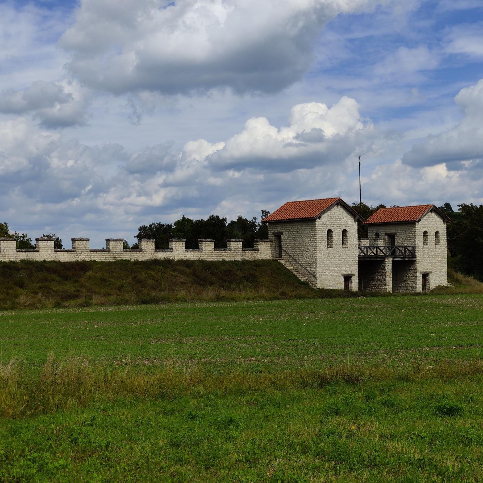
An important historic site, Tullyhogue Fort is where the O'Neills were crowned the Chiefs of Ulster. It is now planted with trees and you can enjoy views across the countryside of County Tyrone.
0
0
Frequently Asked Questions
How many touring cycling routes are available around Drumcraw?
There are at least five dedicated touring cycling routes around Drumcraw listed on komoot, offering a variety of experiences through the region's scenic landscapes. These routes range from easy to difficult, catering to different fitness levels.
Are there any easy touring cycling routes suitable for beginners or families?
Yes, Drumcraw offers easy touring cycling routes perfect for beginners or families. For instance, the Loughshore Trail: Ardboe Loop is an easy 28.1 km ride with gentle elevation, offering pleasant views of the lough shore. Another accessible option is the Cookstown loop to Killymoon Castle & Tullyhogue Fort, a 20.8 km path that passes historical sites.
What kind of landscapes can I expect to see while cycling around Drumcraw?
Touring cyclists around Drumcraw can expect diverse and picturesque landscapes. Routes often feature views across the Sillees River, Ross Lough, and Carran Lough, with terrain gently rising towards Tullybrack Hill. The area is characterized by lush green farmland, extensive woodlands, and the serene waters of Lough Erne, including views of Boa Island and other smaller islands.
Are there more challenging routes for experienced touring cyclists?
Absolutely. For experienced touring cyclists seeking a challenge, Drumcraw offers more demanding routes. The The Sperrins loop from Cookstown is a difficult 53.9 km trail with over 550 meters of elevation gain, leading through the scenic Sperrins. Another difficult option is the Maghery loop from Cookstown, which spans nearly 72 km with significant elevation changes.
What are some notable historical sites or attractions along the cycling routes?
While cycling around Drumcraw, you can explore several interesting sites. The Cookstown loop to Killymoon Castle & Tullyhogue Fort specifically passes historical sites like Tullyhogue Fort. Other nearby attractions include the Drum Manor House Ruins and the Derryloran Old Church Ruins and Cemetery, offering glimpses into the region's past.
Are there any circular touring cycling routes in the Drumcraw area?
Yes, many of the touring cycling routes around Drumcraw are designed as loops, providing a convenient circular experience. Examples include the Loughshore Trail: Ardboe Loop, the Cookstown loop to Killymoon Castle & Tullyhogue Fort, and the The Sperrins loop from Cookstown, all of which start and end in the same general area.
What is the best time of year to go touring cycling in Drumcraw?
The best time for touring cycling in Drumcraw is generally during the spring, summer, and early autumn months (April to October). During these periods, the weather is typically milder and drier, making for more comfortable riding conditions and allowing you to fully appreciate the lush green landscapes and lough views.
Are there any routes that offer scenic viewpoints?
Many routes in the Drumcraw area offer scenic viewpoints, particularly those that traverse higher ground or follow the lough shores. The terrain gently rises towards Tullybrack Hill, providing elevated perspectives. Additionally, the View from Slieve Gallion is a notable highlight in the wider region, offering expansive vistas.
Can I find cafes or pubs near the cycling routes for refreshments?
While specific cafes and pubs directly on every route are not detailed, routes originating from or passing through towns like Cookstown, which is a common starting point for several tours, will offer opportunities for refreshments. It's advisable to check local amenities in towns along your chosen route for specific options.
What is the typical elevation gain on touring cycling routes in Drumcraw?
The elevation gain varies significantly depending on the route's difficulty. Easy routes like the Loughshore Trail: Ardboe Loop have around 140 meters of elevation gain. Moderate routes, such as the Bike loop from Cookstown, feature approximately 330 meters. More difficult routes, like The Sperrins loop from Cookstown, can involve over 550 meters of climbing.
Are there any less crowded touring cycling routes in the Drumcraw area?
While specific crowd levels aren't tracked, exploring routes that venture further into the extensive woodlands and rolling farmland away from major towns may offer a more tranquil experience. The region's diverse network of trails means you can often find quieter paths, especially during off-peak times or weekdays.
What are the main natural features to look out for while cycling?
Cyclists will encounter a rich array of natural features. Key highlights include the Sillees River, Ross Lough, and Carran Lough, providing beautiful waterside scenery. The routes also offer views of Tullybrack Hill, lush green farmland, and extensive woodlands. Boa Island on Lough Erne is another significant natural feature, offering unique island perspectives.
Most popular routes around Drumcraw
Most popular attractions around Drumcraw

Get inspired with the komoot mobile app


Explore more
Browse the best Cycling routes in other regions.
