The best road cycling routes around Loch Fad
4.8
(16)
580
riders
7
rides
Road cycling around Loch Fad offers routes integrated into the Isle of Bute's network. The loch is situated along the Highland fault line, contributing to varied terrain. The surrounding area features wooded hills, commercial woodlands, and extensive moorland, providing a diverse backdrop for cycling. The island's road network includes quiet roads, offering access to both rugged, hilly sections in the north and more gentle areas in the south.
Best road cycling routes around Loch Fad
- The most popular road cycling…
Last updated: October 2, 2026
4.3
(3)
34
riders
27.5km
01:12
220m
220m
Embark on the Bute Cycle Network: Rothesay Loop, an easy road cycling route that offers a delightful journey around the island. This 17.1 miles (27.5 km) loop features gentle rolling…
5.0
(2)
24
riders
25.5km
02:15
270m
270m
Moderate road ride. Good fitness required. Some segments of this route may be unpaved and difficult to ride.

87
riders
75.9km
03:43
980m
980m
Hard road ride. Very good fitness required. Some segments of this route may be unpaved and difficult to ride.
5.0
(1)
68
riders
Moderate road ride. Great for any fitness level. Some segments of this route may be unpaved and difficult to ride.
5.0
(1)
14
riders
22.5km
01:04
200m
200m
Moderate road ride. Great for any fitness level. Some segments of this route may be unpaved and difficult to ride.
Get access to more routes and recommendations from other explorers.
Already have an account?
Our route recommendations are based on thousands of hikes, rides, and runs completed by other people on komoot.
Start today with a free account
Your next adventure awaits.
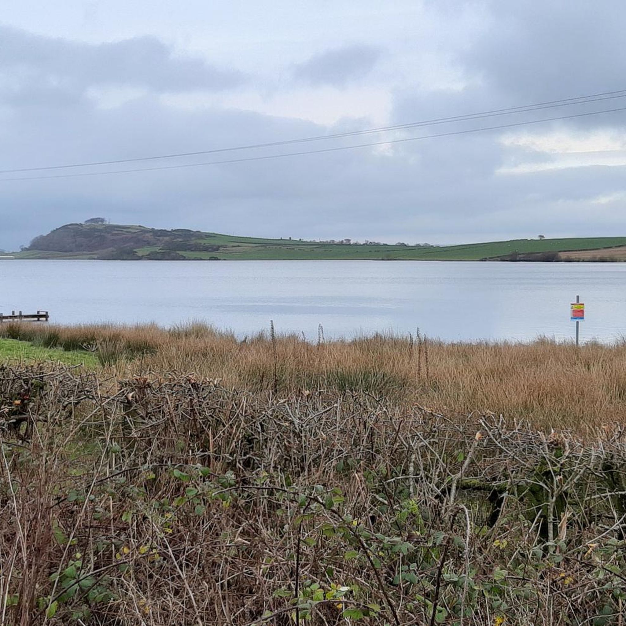
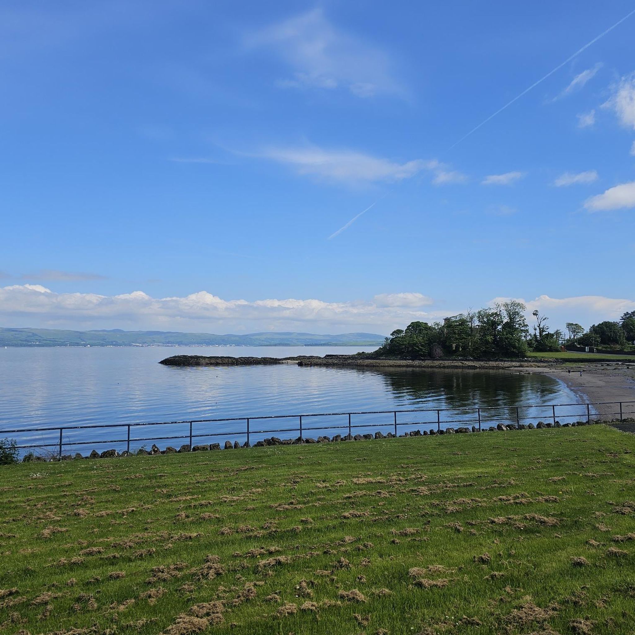
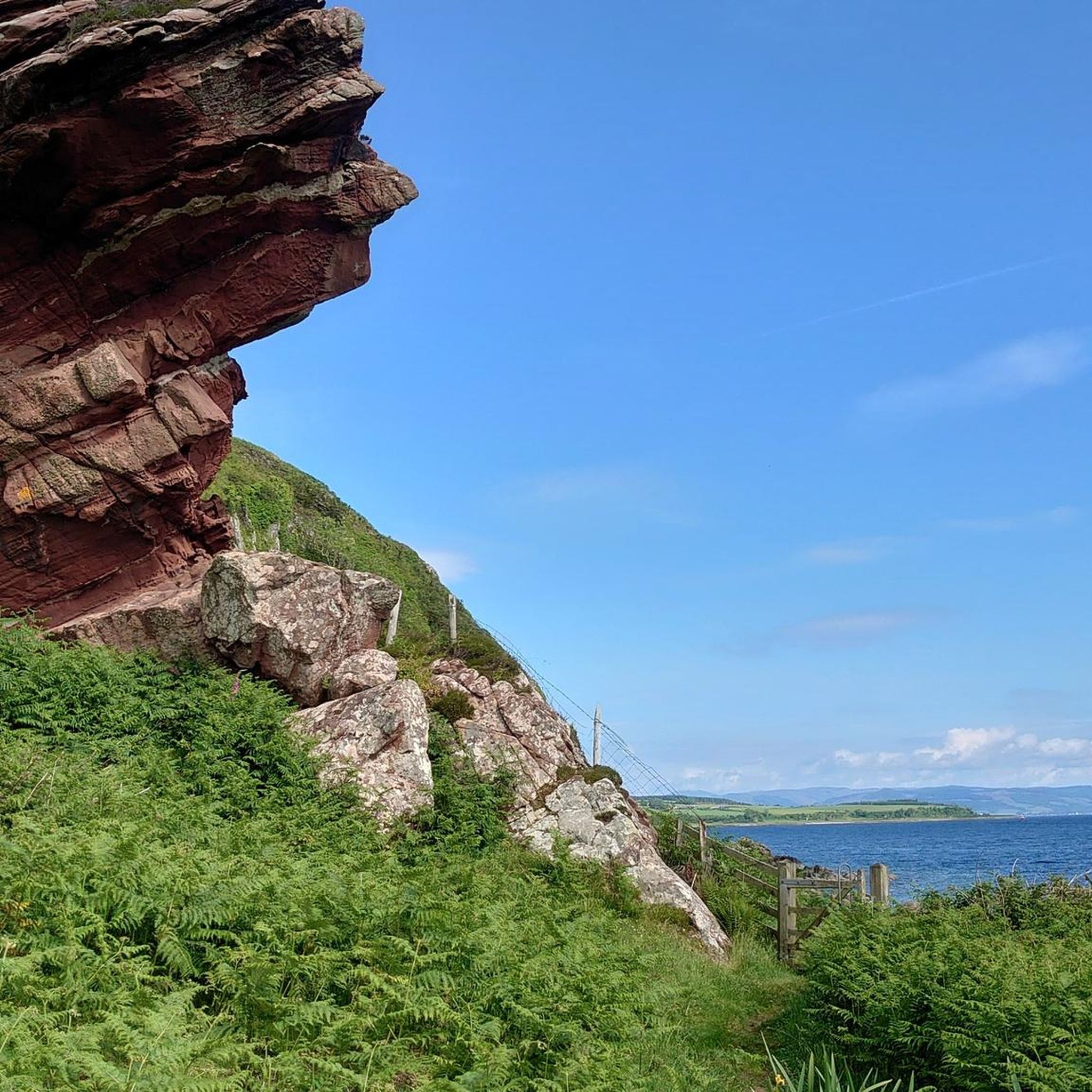
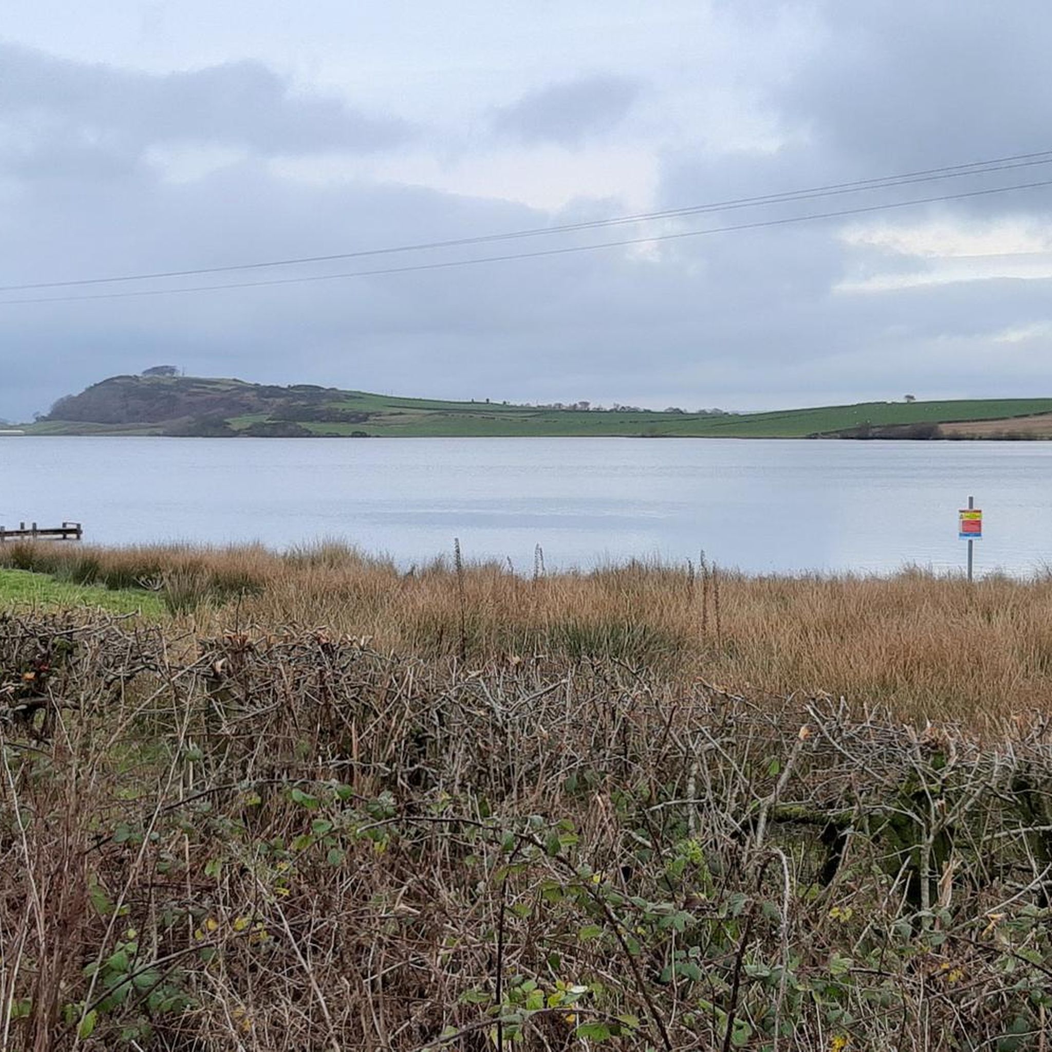
Tips from the Community

These should be on the OpenStreetMaps already but this one isn't, and the Scottish Water website says it's on the Square but it isn't. It's on the coastal side of the road next to the zebra crossing and the pedestrian entrance to the ferry terminal. Edit: They've now updated the map to show the location https://www.yourwateryourlife.co.uk/location/rothesay/
0
0

Please check the map and picture. Arran is on the West side of the Isle of Bute, and what is between the islands is called Sound of Bute. The Firth of Clyde is on the East side where I supposed you crossed by the ferry to Rothesay;) you had a great weather for cycling. Arran, and Inchmarnock looks great any moment, any time. I’m located on Bute so you can check some my rides around the rock. Maybe see you on Bute✋
0
0

The Colitraive to Rhubodach ferry crossing is a quick and easy way to go to and from the Isle of Bute. The ferries run daily, and you can find the exact times on this web page https://www.calmac.co.uk/article/2927/Bute-Colintraive---Rhubodach
1
0
Kilchattan Bay is a little gem nestled along the beautiful Isle of Bute. Enjoy a stroll up the coastline with views of pristine sandy beach, crystal-clear waters, and breathtaking coastal views.
2
0


Rothesay Castle is in ruins, but has been described as "one of the most remarkable in Scotland", because of its long history dating back to the 13th century, and because of the unusual circular design.
1
0

Sandy beach with a nice little cafe. Much busier than Kilchattan Bay on the other side of the island. Rather than turning back the way I came (like I had to at Kilchattan which is a dead end), I rode along the little path to reach the other road. My road tyres coped well with the mix of sand, grass, stones and bumps.... but it's speed and smooth riding you're after turning back might be a better idea!
0
0

Continue straight down to reach Ettrick Bay. The Bay sits in a sheltered position on the western coast of the Isle of Bute. The beach is a mile long of course, golden sand. Perfect for a paddle and a picnic on the beach. There is a tearoom at the end of the road serving home made lunches and lovely baked goods! Opening Hours: Monday 9:30am–4pm Tuesday 9:30am–4pm Wednesday 9:30am–4pm Thursday 9:30am–4pm Friday 9:30am–4pm Saturday 9:30am–4pm Sunday 9:30am–4pm
1
0
Frequently Asked Questions
What types of road cycling routes can I expect around Loch Fad and the Isle of Bute?
The area offers a diverse range of road cycling experiences. You'll find quiet roads, coastal views, and routes that traverse varied terrain, from rugged, hilly sections in the north to more gentle, fertile areas in the south. The landscape includes extensive moorland, low hills, and woodlands, all accessible via the island's road network. Routes often integrate the natural beauty of Loch Fad with wider island loops.
Are there road cycling routes suitable for beginners or families around Loch Fad?
Yes, there are several easy routes ideal for beginners or families. For instance, the Bute Cycle Network: Rothesay Loop is an easy 17.1-mile (27.5 km) trail offering coastal views. The island's quiet roads generally make for a more peaceful and safe riding experience.
What are some challenging road cycling options near Loch Fad?
For those seeking a challenge, routes like the Tighnabruaich Viewpoint – Rhubodach to Colintraive Ferry loop from Rothesay offer significant elevation gain over its 75.7 km distance, providing a more demanding ride through the island's varied terrain.
What are the best times of year to go road cycling around Loch Fad?
The Isle of Bute, including the area around Loch Fad, is enjoyable for road cycling throughout much of the year. Summer offers the warmest weather and longest daylight hours, ideal for exploring. Spring and autumn provide pleasant temperatures and beautiful scenery, with fewer crowds. Winter cycling is possible, but be prepared for cooler temperatures and potentially wet conditions.
Can I bring my dog on road cycling routes around Loch Fad?
While the road cycling routes themselves are generally on public roads, the suitability for dogs depends on individual circumstances and local regulations. If you plan to stop and explore off-road areas or paths, check for specific signage regarding dogs. Always ensure your dog is safe and well-controlled, especially near traffic.
Are there any notable viewpoints or attractions along the road cycling routes?
Yes, the Isle of Bute offers many scenic spots. Cycling routes often provide stunning coastal views, vistas of the Kyles of Bute, and panoramas stretching to the Isle of Arran. You might pass by attractions such as Rothesay Castle, Scalpsie Bay (known for its seal colony), and Ettrick Bay with its sandy beach. The area around Loch Fad itself is a Site of Special Scientific Interest (SSSI) with rich birdlife and diverse vegetation.
Where can I find parking for road cycling near Loch Fad?
Parking is generally available in Rothesay, the main town on the Isle of Bute, which serves as a common starting point for many cycling routes. From Rothesay, you can easily access routes that lead towards or around Loch Fad. Specific parking areas near the loch itself might be limited, so starting from Rothesay is often the most convenient option.
How can I reach the Isle of Bute and its cycling routes using public transport?
The Isle of Bute is accessible by ferry from Wemyss Bay to Rothesay. CalMac Ferries operate this service, and they generally accommodate bicycles. Once on the island, local bus services connect Rothesay with other parts of the island, though space for bikes on buses may be limited. Planning your route to start and end in Rothesay, or checking bus schedules and bike policies in advance, is advisable.
Are there cafes, pubs, or accommodation options near the road cycling routes?
Rothesay, the main town on the Isle of Bute, offers a good selection of cafes, pubs, and accommodation options. Many cycling routes start from or pass through Rothesay, making it a convenient base for refreshments and overnight stays. You may also find smaller cafes or pubs in villages like Port Bannatyne or Kilchattan Bay, depending on your chosen route.
What do other road cyclists enjoy most about road cycling in Loch Fad?
The area is highly rated by the komoot community, with an average score of 5.0 stars from more than 20 reviews. Reviewers often praise the stunning coastal views, the quiet roads, and the diverse landscapes that make for an engaging cycling experience. The integration of Loch Fad's natural beauty into wider island loops is also frequently highlighted.
Are there options for renting road bikes on the Isle of Bute?
While specific road bike hire directly at Loch Fad might be limited, you can typically find bike rental services in Rothesay, the main town on the Isle of Bute. It's advisable to check with local tourism information or bike shops in Rothesay in advance to confirm availability and make reservations, especially during peak season.

Get inspired with the komoot mobile app


Explore more
Browse the best Road cycling routes in other regions.
