The best walks and hikes around Loch Fad
4.5
(96)
699
hikers
27
hikes
Hikes around Loch Fad on the Isle of Bute follow paths along the freshwater loch and through the surrounding landscape. The area is situated on the Highland Boundary Fault, creating a terrain of rolling, wooded hills and shoreline trails. These Loch Fad walking routes offer a mix of accessible paths and more demanding sections suitable for various fitness levels.
Best hiking trails around Loch Fad
- The most popular hiking route is View of Loch Fad loop from Townhead, a 2.7 mile (4.4 km) trail that takes about 1 hour 10 minutes to complete. This easy route provides direct views over the water.
- Another top favourite among local hiking enthusiasts is Rothesay Castle & Loch Fad loop from Rothesay Ferry — Isle of Bute, a difficult 14.0 mile (22.6 km) path. The route combines a walk along the loch with a visit to the historic castle.
- Local hiking enthusiasts also love the West Island Way loop from Rothesay Ferry — Isle of Bute, a 19.4 mile (31.3 km) trail leading through the varied island scenery, often completed in about 8 hours 40 minutes.
- Hiking around Loch Fad is defined by its shoreline paths, rolling hills, and sections of commercial woodland. The trail network provides options for both short, gentle walks and long-distance hikes.
- The routes in Loch Fad are highly rated by the komoot community with an average score of 4.6 stars from over 80 reviews. More than 600 hikers have used komoot to explore Loch Fad's varied terrain.
Last updated: September 28, 2026
5.0
(1)
3
hikers
4.41km
01:10
40m
50m
Easy hike. Great for any fitness level. Easily-accessible paths. Suitable for all skill levels.
4.1
(7)
50
hikers
31.3km
08:39
550m
550m
Hard hike. Very good fitness required. Easily-accessible paths. Suitable for all skill levels.

4.8
(5)
29
hikers
24.8km
06:43
340m
340m
Hard hike. Very good fitness required. Easily-accessible paths. Suitable for all skill levels.
1
hikers
22.6km
06:03
260m
260m
Hard hike. Very good fitness required. Easily-accessible paths. Suitable for all skill levels.
4.0
(2)
6
hikers
10.4km
02:56
220m
220m
Moderate hike. Good fitness required. Easily-accessible paths. Suitable for all skill levels.
Get access to more routes and recommendations from other explorers.
Already have an account?
Our route recommendations are based on thousands of hikes, rides, and runs completed by other people on komoot.
Start today with a free account
Your next adventure awaits.
Tips from the Community

These should be on the OpenStreetMaps already but this one isn't, and the Scottish Water website says it's on the Square but it isn't. It's on the coastal side of the road next to the zebra crossing and the pedestrian entrance to the ferry terminal. Edit: They've now updated the map to show the location https://www.yourwateryourlife.co.uk/location/rothesay/
0
0

Near this highlight you will find a cairn and a bench where you can sit and enjoy the sensational views across the western side of the Isle of Bute and across the water to the Isle of Arran. This is natural Scotland at its best.
2
0
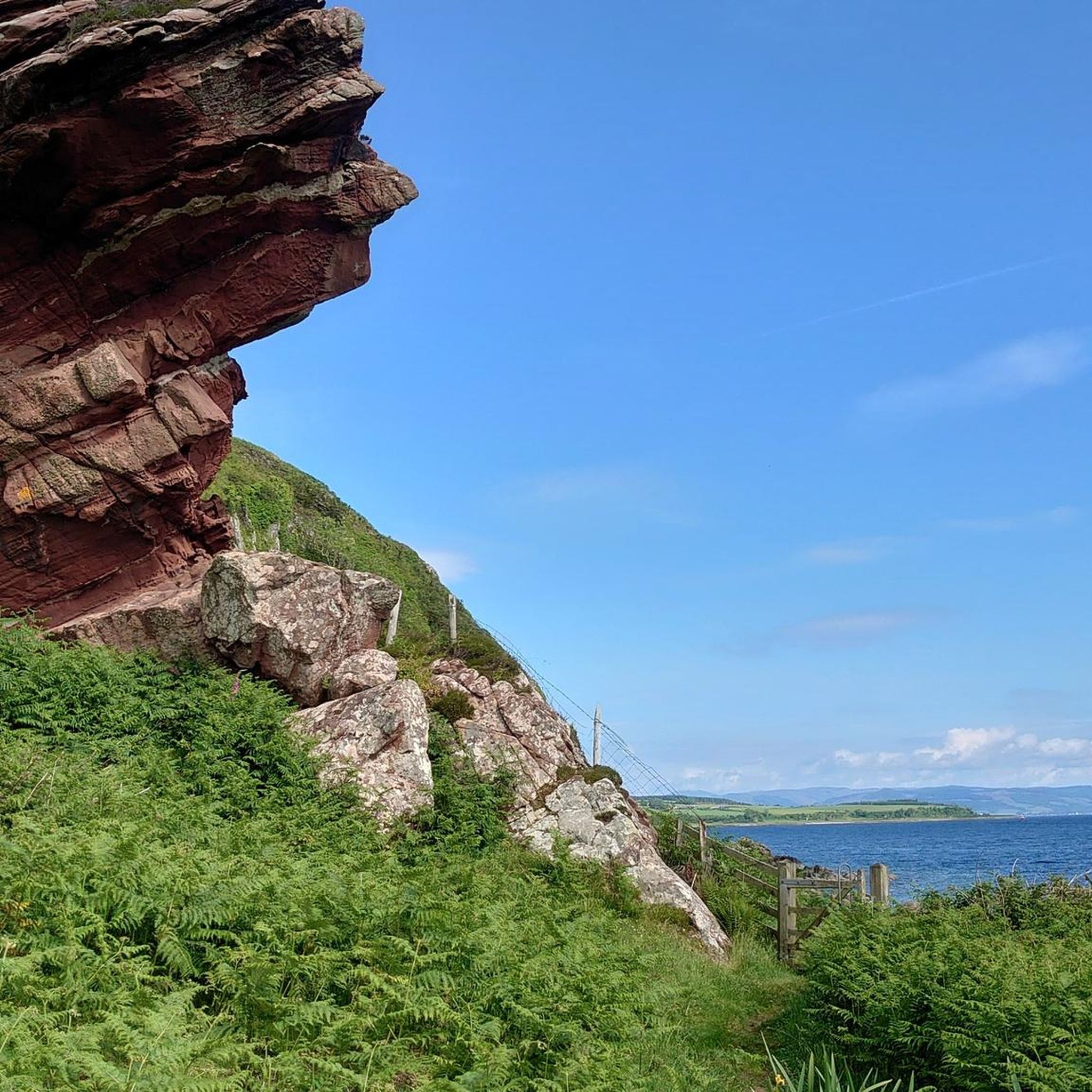
This stunning bay showcases the raw beauty of Scotland's natural landscapes. From the golden sandy beach, you can enjoy views of rugged cliffs and the surrounding mountains.
2
0

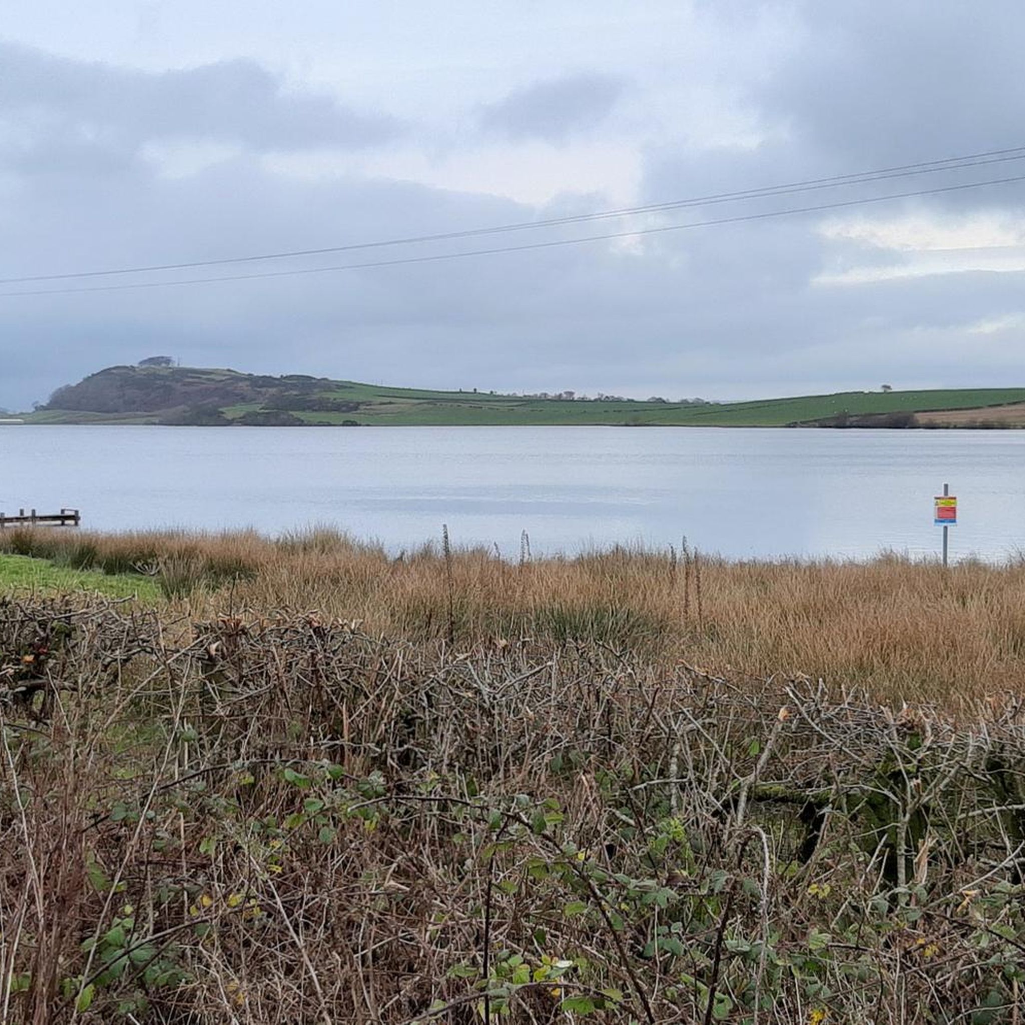
Loch Fad (which translates as ‘long loch’) is a freshwater lake on the Isle of Bute that lies directly along the Highland Fault Line. The loch is classed as a Site of Special Scientific Interest due to its birdlife and vegetation. From this spot on the causeway, you get a wonderful view over the loch nestled between rugged hills.
1
0
Rothesay Castle is in ruins, but has been described as "one of the most remarkable in Scotland", because of its long history dating back to the 13th century, and because of the unusual circular design.
1
0


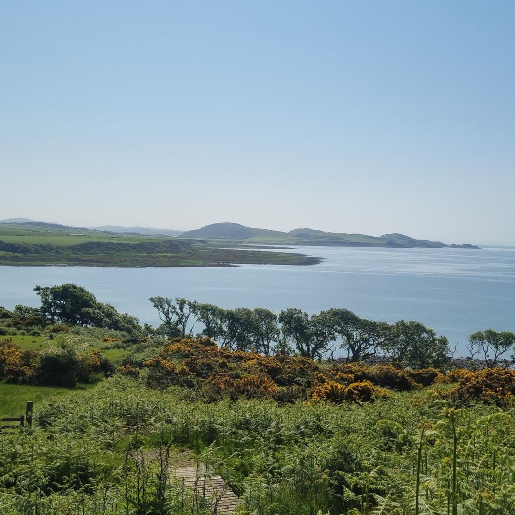
Stunning views across the Sound of Bute from this viewpoint on the A844 near Mecknoch. You can see the small island of Inchmarnock about 2km away. You also get an amazing view of the Isle of Arran and Goatfell which is the highest mountain on Arran.
1
0

Kames castle is an awesome 16th century tower house on Kames Bay. The castle isn't open to the public it can be seen clearly from the road. Should you want to get closer, the castle and surrounding cottages are available to rent as holiday cottages.
1
0
Frequently Asked Questions
How many hiking trails are available around Loch Fad?
There are over 30 hiking trails to explore around Loch Fad. The routes range from easy shoreline paths to challenging long-distance treks, catering to all fitness levels.
Are there any easy, family-friendly walks near Loch Fad?
Yes, there are several easy options suitable for families. The Rothesay Harbour – Rothesay Castle loop from Rothesay is a gentle walk of about 6 km that combines pleasant paths with a visit to the historic castle, making it engaging for all ages.
Can I bring my dog on the trails around Loch Fad?
Yes, the walking routes on the Isle of Bute are generally dog-friendly. However, you will be walking through areas with active farmland and diverse wildlife. Please keep your dog under control, especially near livestock and during bird nesting seasons.
What do other hikers say about the trails at Loch Fad?
The area is highly rated by the komoot community, with an average score of 4.6 stars. Hikers often praise the stunning views across the loch and the peaceful atmosphere of the surrounding woodlands and shoreline paths.
How can I get to the Loch Fad trailheads using public transport?
Most hikes are accessible from Rothesay, which is served by a regular ferry service. Many trails, including sections of the West Island Way, start directly from the Rothesay Ferry terminal, making it easy to arrive without a car.
Where is the best place to park for a walk around Loch Fad?
Parking is available in the town of Rothesay, which serves as a convenient starting point for many popular routes. From there, you can easily access trails leading to Loch Fad and other parts of the island. Some specific trailheads may have limited roadside parking.
Are there any long-distance hiking options on the Isle of Bute?
Yes, the Isle of Bute is home to the West Island Way, a well-known long-distance path. For a challenging day hike, you could tackle the Rothesay to Stravanan Bay via West Island Way route, which covers a significant portion of this scenic trail.
What makes Loch Fad a Site of Special Scientific Interest (SSSI)?
Loch Fad is designated as an SSSI due to its geological importance, situated on the Highland Boundary Fault, and its rich biodiversity. The area supports a wide variety of bird life and unique vegetation, contributing to its significant scenic beauty.
Besides hiking, what other activities are available at Loch Fad?
Loch Fad is a popular destination for angling, particularly for trout and pike. The local
Loch Fad Fisheries Ltd offers permits and boat hire for those interested in fishing on the loch.
What kind of footwear is recommended for hiking around Loch Fad?
Sturdy, waterproof hiking boots are recommended. While some paths are well-maintained, others can be muddy and uneven, especially after rain. The terrain includes shoreline paths, woodland trails, and rolling hills, so good ankle support is beneficial.
Are there any coastal walks that offer views of the sea?
Yes, while many trails focus on the loch, you can also find excellent coastal walks. The trail to Glencallum Bay, for example, is part of the West Island Way and offers a more rugged coastal experience with beautiful views of the Firth of Clyde.

Get inspired with the komoot mobile app


Explore more
Browse the best Hikes in other regions.
