The best MTB trails around Loch Bad an Sgalaig
3.3
(7)
102
riders
3
rides
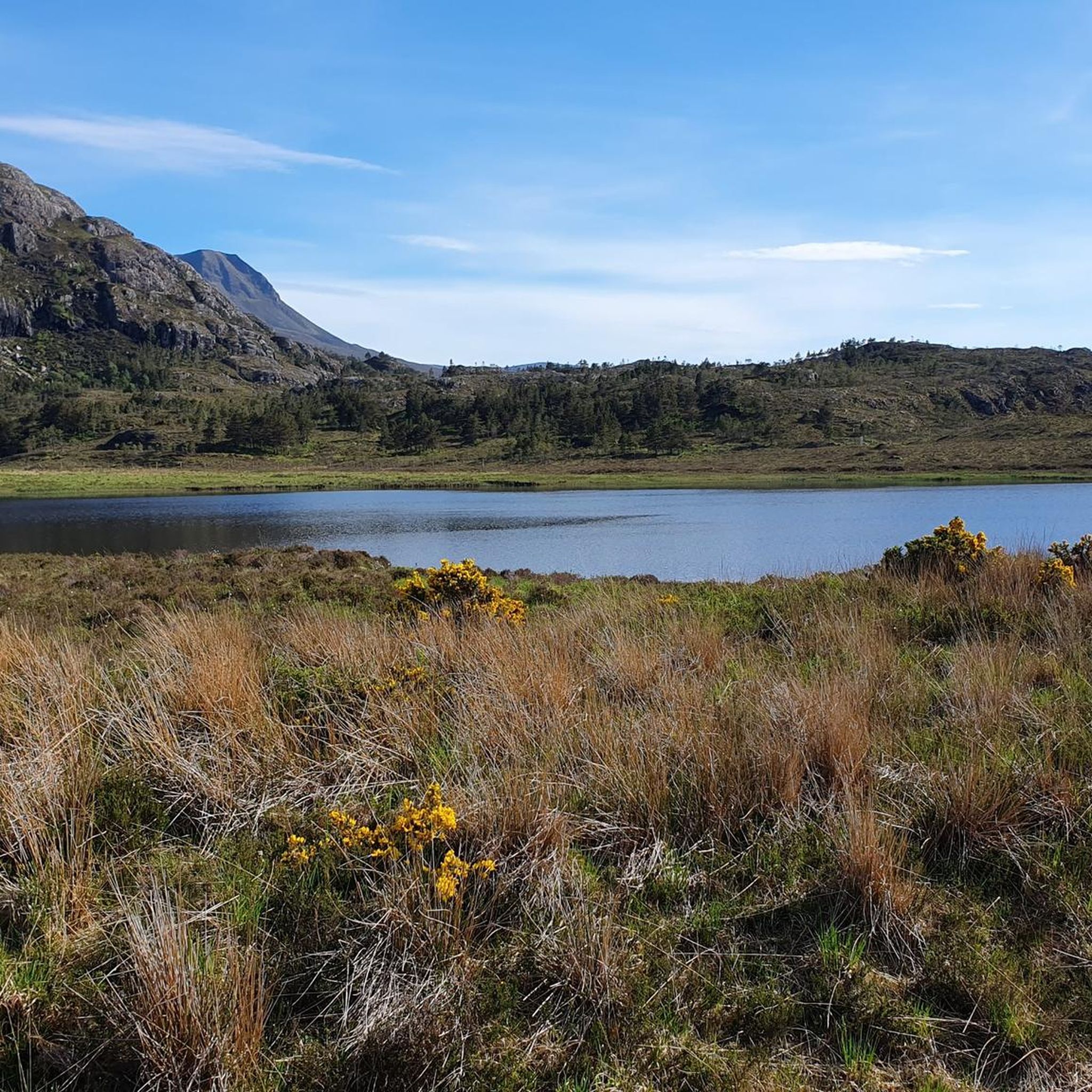
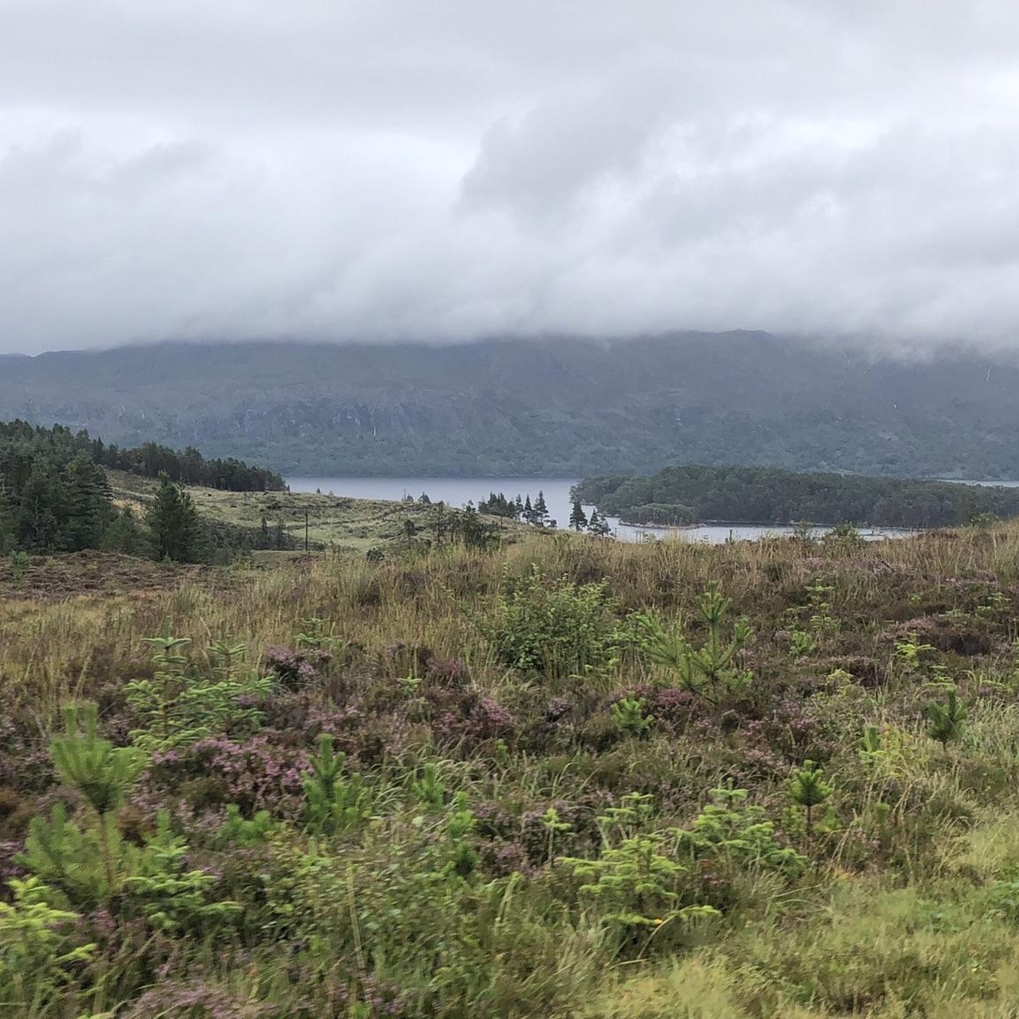
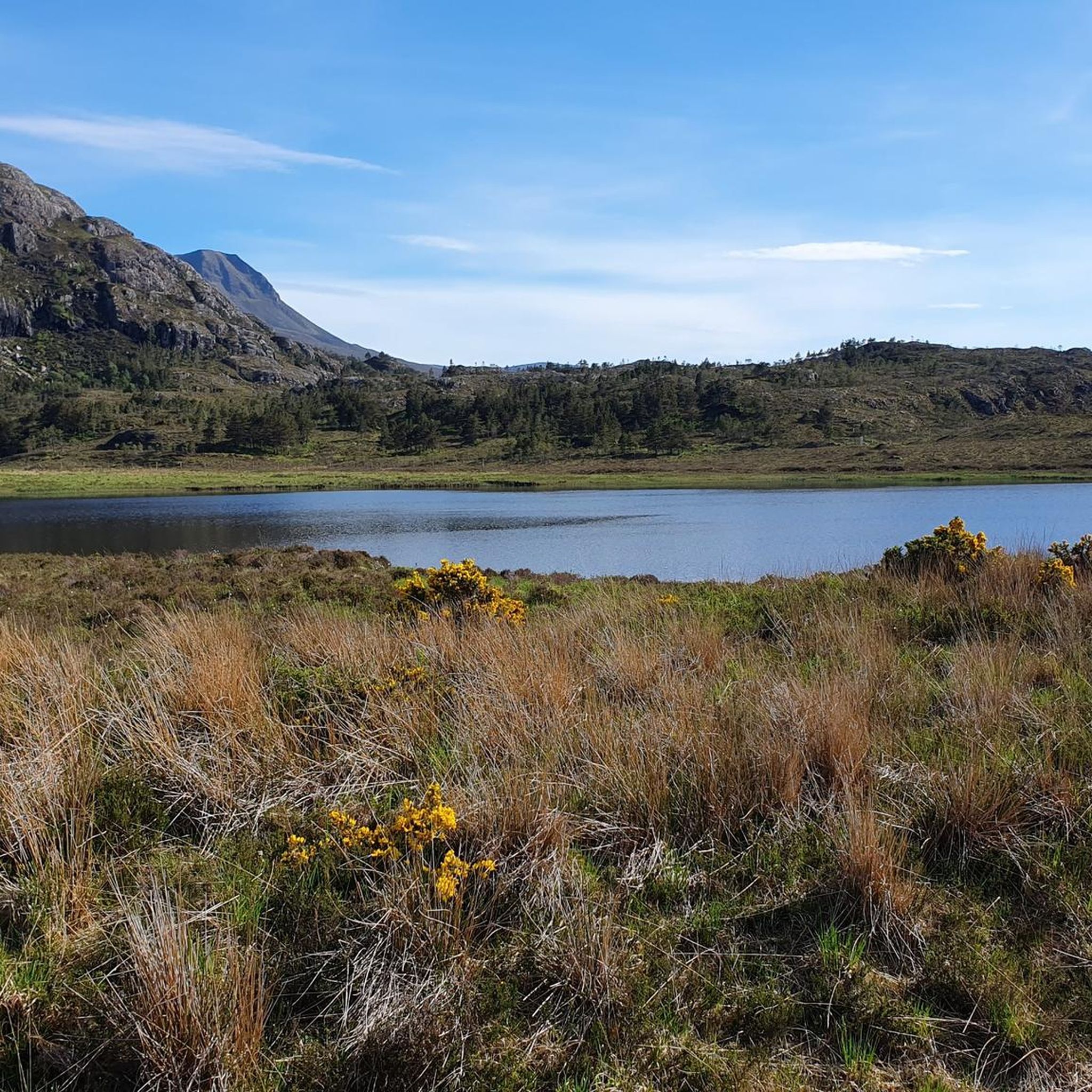
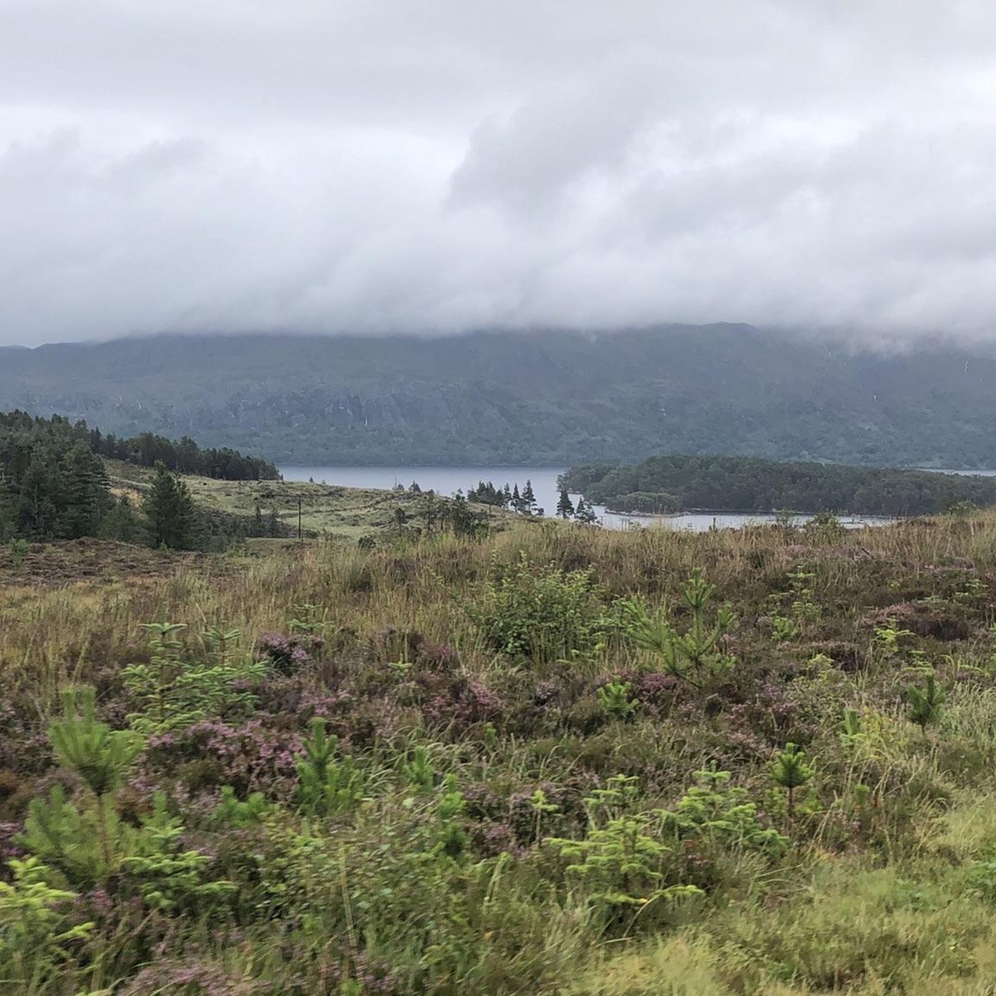
Mountain biking around Loch Bad an Sgalaig offers diverse terrain in a remote wilderness setting in Wester Ross, Scotland. The area features a freshwater loch, surrounded by mountains like Beinn an Eoin and Baosbheinn. Riders can expect a mix of tracks, including rough and steep sections, alongside areas of wet peat bog and native pinewoods. The landscape is characterized by rugged mountainous backdrops and ancient woodlands, providing varied challenges for mountain bikers.
Best mountain bike trails around Loch Bad an…
Last updated: June 25, 2026
6
riders
14.4km
01:27
310m
310m
Moderate mountain bike ride. Good fitness required. Suitable for all skill levels.
2.5
(2)
16
riders
28.2km
02:28
590m
590m
Moderate mountain bike ride. Good fitness required. Advanced riding skills necessary.

Sign up for free
29
riders
56.6km
05:40
1,210m
1,210m
Embark on the Highland Trail 550, a difficult mountain biking route that plunges you into the rugged beauty of the Wester Ross National Scenic Area. You will cover 35.2 miles…
5.0
(1)
18
riders
35.7km
03:14
480m
470m
Moderate mountain bike ride. Good fitness required. Suitable for all skill levels.
4
riders
81.9km
06:48
1,550m
1,550m
Hard mountain bike ride. Very good fitness required. Suitable for all skill levels.
Our route recommendations are based on thousands of hikes, rides, and runs completed by other people on komoot.
Start today with a free account
Your next adventure awaits.
Login or Signup
Tips from the Community

Very fine and well maintained bothy, a pleasure to stay there.
0
0

Shelter. Offers shelter in heavy rain or storms. I found refuge here due to a storm and was able to continue my hike the next day when conditions improved. Water can be found about 50 meters past the hut. However, a better source is located on the main path in front of the gate. The gate to the shelter is open. Please always close it behind you.
0
0

narrow, rocky singletrack that heads up from the loch.
0
0
Watch out for rock slides across the path! An incredible descent, I had to walk some of it (on a gravel bike)
0
0
It is a bit of a push up, but worth it for the views at the top and the descent on the other side. Out of this world!!
1
0

Nice store (Mace), small but well organized and very cute family cafe right across the street.
0
0

This is a beautiful view from the outflow of Lochan a'Cleirich towards the Marilyn summit of Meall Lochan a'Cleirich.
0
0

Technical loose descent with tight switchbacks. Be on top of your riding game. High consequence if it goes wrong😉
0
0
Frequently Asked Questions
What kind of terrain can I expect when mountain biking around Loch Bad an Sgalaig?
The terrain around Loch Bad an Sgalaig is diverse, offering a mix of tracks that can be very rough and steep in places, alongside areas of wet peat bog. You'll also find routes through native pinewoods and ancient Caledonian pine forests, providing varied challenges and scenic backdrops. The landscape is characterized by rugged mountainous areas and serene loch views.
Are there any challenging mountain bike routes for experienced riders?
Yes, for experienced riders seeking a challenge, some tracks around Loch Bad an Sgalaig are noted as being very rough and steep. The Highland Trail 550, for example, is a difficult 35.2-mile (56.6 km) route leading through varied Highland terrain, often taking around 5 hours 40 minutes to complete. Another challenging option is the Inverewe Garden – Shenavall Bothy loop from Poolewe, which spans over 81 km with significant elevation gain.
Are there any family-friendly mountain bike options near Loch Bad an Sgalaig?
While many routes offer a moderate challenge, some sections within the pinewoods can be suitable for families with some biking experience. The area's diverse trails mean you can often find less technical sections. For a moderate ride exploring regenerated pinewoods, consider the Loch na h-Oidhche & the Flowerdale Forest route, which is 9.0 miles (14.4 km) long.
What natural features or landmarks can I see along the mountain bike trails?
Mountain biking around Loch Bad an Sgalaig offers stunning views of the freshwater loch itself, surrounded by mountains like Beinn an Eoin and Baosbheinn. You can also explore the newly planted Loch Bad na Sgalag native pinewood and remnants of ancient Caledonian pine forests. The Abhainn a' Gharbh Choire (River in the Rough Dell) flows through a gorge with impressive waterfalls, providing scenic highlights along certain routes.
What is the best time of year to go mountain biking in Loch Bad an Sgalaig?
The best time to visit for mountain biking is generally during the drier months, typically from late spring to early autumn (May to September). This avoids the worst of the wet peat bogs and ensures more favorable weather conditions. Winter conditions can be challenging due to wetness, cold, and shorter daylight hours.
Are there any circular mountain bike routes available?
Yes, there are several circular mountain bike routes. For example, the View of Gairloch Beach – View of Loch Tollie loop from Eilean Ruairidh Beag is a moderate 18.0-mile (29.0 km) circular path offering expansive views. Another option is the View of Fionn Loch – Dubh Loch Causeway loop from Poolewe, a moderate 35.6 km route.
What do other mountain bikers enjoy most about mountain biking in Loch Bad an Sgalaig?
The area is highly rated by the komoot community, with an average score of 3.25 stars from over 7 reviews. Reviewers often praise the serene loch views, rugged mountainous backdrops, and the sense of remote wilderness. The diverse terrain, from ancient woodlands to challenging steep sections, also contributes to a rewarding experience for many riders.
How many mountain bike trails are there around Loch Bad an Sgalaig?
There are over 5 mountain bike trails around Loch Bad an Sgalaig listed on komoot, catering to various skill levels. These include moderate and difficult routes, offering a range of distances and elevations to explore the region's unique landscape.
Is Loch Bad an Sgalaig suitable for beginner mountain bikers?
While the area offers diverse terrain, some sections can be rough and steep. There are moderate routes available, such as Loch na h-Oidhche & the Flowerdale Forest, which explores regenerated pinewoods. Beginners should choose routes carefully and be prepared for varied surfaces, including wet peat bog in some areas.
Are there any places to eat or stay near the mountain bike trails?
Loch Bad an Sgalaig is located in a remote area, so direct amenities on the trails are limited. However, nearby villages like Poolewe and Gairloch offer options for cafes, pubs, and accommodation. It's advisable to plan your refreshments and lodging in these settlements before or after your ride.
Can I bring my dog on the mountain bike trails?
While many outdoor areas in Scotland are dog-friendly, it's essential to be mindful of local regulations, livestock, and wildlife. The remote nature of the trails means you might encounter sheep or deer. Always keep dogs under close control, especially in areas with livestock or ground-nesting birds, and ensure they are capable of handling the varied terrain and distances.
What are the typical elevations and distances for mountain bike routes here?
The routes around Loch Bad an Sgalaig vary significantly in elevation and distance. For instance, a moderate route like Loch na h-Oidhche & the Flowerdale Forest covers about 14.4 km with an elevation gain of around 310 meters. More challenging routes, such as the Highland Trail 550, can span over 56 km with an elevation gain exceeding 1200 meters, offering substantial climbs and descents.
Most popular routes around Loch Bad an Sgalaig

Get inspired with the komoot mobile app


Explore more
Browse the best MTB trails in other regions.
