The best walks and hikes around Loch Bad an Sgalaig
4.5
(247)
1,447
hikers
23
hikes
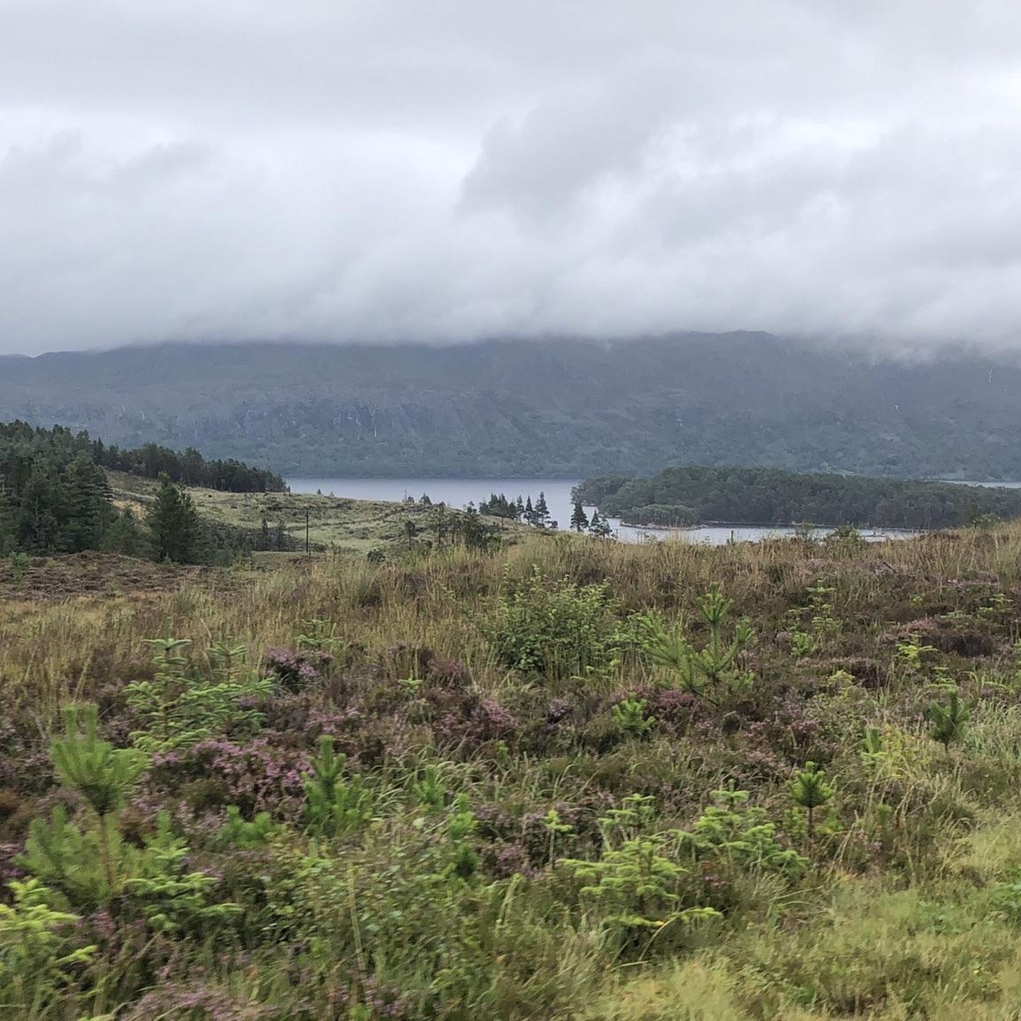
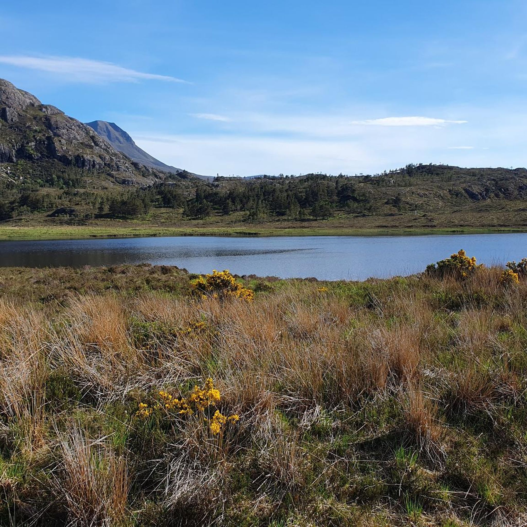
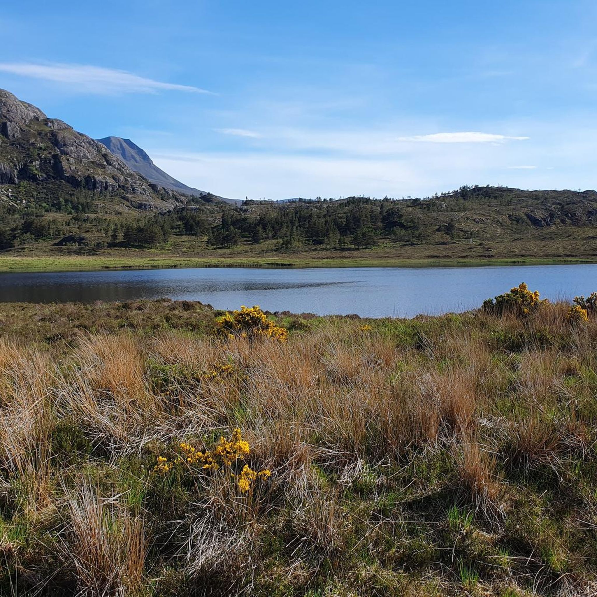
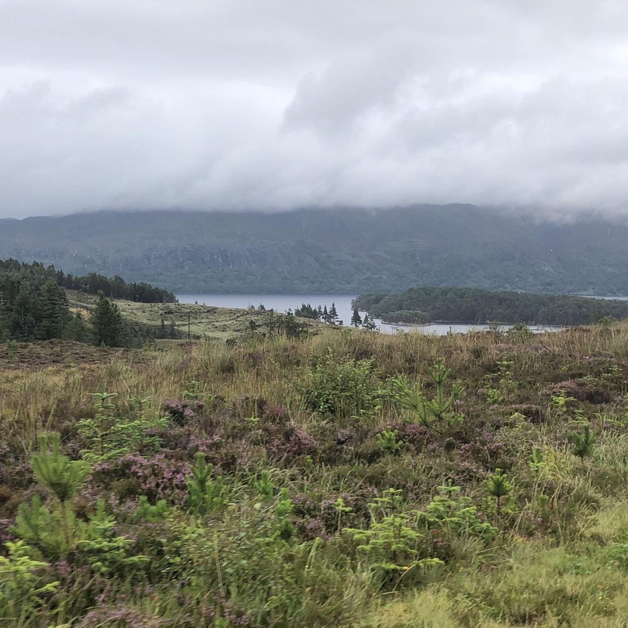
Hiking around Loch Bad an Sgalaig offers routes through diverse landscapes in Wester Ross, Scotland. The area features regenerating native pinewoods, dramatic waterfalls along gorges, and views of freshwater lochs. Trails often traverse rough hill paths and can include boggy sections, with a mountainous backdrop providing scenic vistas.
Best hiking trails around Loch Bad an Sgalaig
- The most popular hiking route is Meall a' Ghlas Leothaid & Loch Bad an Sgalaig loop from near Gairloch — Torridon, a 4.6 miles (7.4 km) moderate trail that takes 2 hours 20 minutes to complete. This route includes an ascent to a viewpoint overlooking the loch.
- Another top favourite among local hikers is Bad na Sgalag Native Pinewood – Loch na h-Oidhche loop from Meall Aundrary, a moderate 8.6 miles (13.9 km) path. This trail leads through ancient pinewoods and offers views of Loch na h-Oidhche.
- Local hikers also love the Bad na Sgalag Native Pinewood – Archaeological Site loop from Meall Aundrary, a 3.6 miles (5.8 km) trail leading through native pinewoods, often completed in about 1 hour 40 minutes.
- Hiking around Loch Bad an Sgalaig is defined by native pinewoods, waterfalls, and views of surrounding lochs and mountains. The network offers options for easy strolls to more challenging routes, catering to various fitness levels.
- The routes in Loch Bad an Sgalaig are highly rated by the komoot community with an average score of 4.6 stars from more than 200 reviews. More than 1200 hikers have used komoot to explore Loch Bad an Sgalaig's varied terrain.
Last updated: September 28, 2026
4.4
(47)
188
hikers
Moderate hike. Good fitness required. Mostly accessible paths. Sure-footedness required.
5.0
(1)
32
hikers
13.9km
03:58
320m
320m
Moderate hike. Good fitness required. Easily-accessible paths. Suitable for all skill levels.

14
hikers
Easy hike. Great for any fitness level. Easily-accessible paths. Suitable for all skill levels.
5.0
(1)
7
hikers
8.74km
02:51
200m
200m
Moderate hike. Good fitness required. Mostly accessible paths. Sure-footedness required.
4.4
(17)
57
hikers
4.06km
01:07
70m
70m
Easy hike. Great for any fitness level. Easily-accessible paths. Suitable for all skill levels.
Get access to more routes and recommendations from other explorers.
Already have an account?
Our route recommendations are based on thousands of hikes, rides, and runs completed by other people on komoot.
Start today with a free account
Your next adventure awaits.
Tips from the Community

Second part very muddy and poorly marked. Bridges not well maintained
0
0

The track from the road into these two mountains looks tempting for a bike to save the legs, but be warned it is very rough and very steep in places. I abandoned my bike and walked a fair part of this track!
0
0
The track steepens and the way ahead onto the mountains becomes clearer. You really are in the wilderness here, don't waste the opportunity!
0
0
This is a key point on the route to Beinn an Eoin, if you can cross this ford you are clear to climb the hill. If however this burn is in spate, there will be nothing for it but to trudge the long way back to the road - so check the forecast before you set off!
0
0
A wild and lonely place, this is a beautiful loch between Beinn an Eoin and Baosbheinn. Most days you will not see another soul here.
0
0

Loch Bràigh Horrisdale is a small freshwater loch located in Wester Ross, northwest Scotland. It lies about 2 miles southeast of Badachro village, near the Fairy Lochs. The loch features a beautiful sandy beach along its eastern shore.
3
0

This is a beautiful view from the outflow of Lochan a'Cleirich towards the Marilyn summit of Meall Lochan a'Cleirich.
0
0

The bridge is now very wobbly. It won't last much longer.
2
0
Frequently Asked Questions
How many hiking trails are available around Loch Bad an Sgalaig?
There are over 20 hiking trails around Loch Bad an Sgalaig. These routes cater to various fitness levels, with 11 easy trails and 12 moderate options available for exploration.
What kind of terrain will I encounter on hikes around Loch Bad an Sgalaig?
Hikers can expect diverse terrain, including rough hill paths, potentially boggy sections, and trails winding through ancient native pinewoods and dramatic gorges. Some routes also feature steep ascents leading to superb viewpoints overlooking the lochs and mountains.
Are there any easy hikes suitable for beginners or families?
Yes, there are 11 easy trails around Loch Bad an Sgalaig. A good option for a shorter, less strenuous walk is the Bad na Sgalag Native Pinewood – Archaeological Site loop from Meall Aundrary, which is 3.6 miles long and takes about 1 hour 40 minutes, leading through native pinewoods.
What natural features or attractions can I see while hiking?
The area is rich in natural beauty. You can explore regenerating native pinewoods, encounter impressive waterfalls along the Abhainn a' Gharbh Choire, and enjoy breathtaking views of Loch Bad an Sgalaig, Lochan a' Chleirich, and Loch Maree. The mountainous backdrop includes peaks like Slioch and Baosbheinn.
Are there any circular walks around Loch Bad an Sgalaig?
Yes, many routes are circular. For instance, the popular Meall a' Ghlas Leothaid & Loch Bad an Sgalaig loop from near Gairloch — Torridon is a 4.6-mile moderate circular trail that includes an ascent to a viewpoint. Another option is the Bad na Sgalag Native Pinewood – Loch na h-Oidhche loop from Meall Aundrary, an 8.6-mile moderate path through ancient pinewoods.
What is the best time of year to go hiking in Loch Bad an Sgalaig?
While hiking is possible year-round, the spring and autumn months often offer pleasant temperatures and fewer midges. Summer provides longer daylight hours, but can be busier. Be prepared for changeable weather conditions regardless of the season, as is typical for Wester Ross.
Is Loch Bad an Sgalaig suitable for dog-friendly walks?
Yes, many trails around Loch Bad an Sgalaig are suitable for dogs. However, due to the presence of wildlife such as red deer and ground-nesting birds, it's essential to keep dogs under close control, preferably on a lead, especially in sensitive areas like the native pinewoods.
What should I wear or bring for hiking in this region?
Given the potentially rough and boggy terrain, appropriate footwear such as waterproof hiking boots is essential. Weather-appropriate clothing, including waterproof and windproof layers, is highly recommended due to the changeable Scottish weather. Carrying water, snacks, and a map or GPS device is also advisable.
Are there any challenging hikes for experienced walkers?
While there are no routes explicitly graded as 'difficult' in our current selection, some moderate trails involve significant elevation gain and rougher sections. The Bad na Sgalag Native Pinewood – Loch na h-Oidhche loop from Meall Aundrary, at 8.6 miles with over 300 meters of ascent, offers a good challenge through varied terrain.
What do other hikers enjoy most about hiking in Loch Bad an Sgalaig?
The area is highly rated by the komoot community, with an average score of 4.6 stars. Reviewers often praise the wild and solitary nature of the place, the stunning views of surrounding lochs and mountains, and the unique experience of walking through the ancient native pinewoods.
Is there parking available near the trailheads?
Specific parking information varies by trailhead. Generally, there are small parking areas or lay-bys available near popular starting points for hikes around Loch Bad an Sgalaig. It's always recommended to check specific route details for parking suggestions.
Can I reach Loch Bad an Sgalaig hiking trails by public transport?
Public transport options to reach the immediate vicinity of Loch Bad an Sgalaig are limited. Access is primarily by car. Some local bus services might operate to nearby villages like Gairloch, but reaching specific trailheads would likely require further arrangements or a significant walk.
Most popular routes around Loch Bad an Sgalaig

Get inspired with the komoot mobile app


Explore more
Browse the best Hikes in other regions.
