The best road cycling routes around Bardowie Loch
4.4
(431)
12,021
riders
273
rides
Road cycling around Bardowie Loch offers varied terrain within a landscape shaped by glacial activity, featuring the freshwater loch itself and surrounding drumlins. The area provides a mix of mostly paved surfaces, rolling hills, and gentle ascents and descents. Cyclists can experience views of the distant Campsie Fells and pass historical sites. The region's network of routes connects to established cycling paths, including segments of the National Cycle Network.
Best road cycling routes around Bardowie Loch
- The most popular road…
Last updated: July 11, 2026
7
riders
29.2km
01:14
200m
200m
Easy road ride. Great for any fitness level. Mostly well-paved surfaces and easy to ride.
18
riders
33.2km
01:32
310m
310m
Moderate road ride. Good fitness required. Mostly well-paved surfaces and easy to ride.

Sign up for free
203
riders
107km
04:54
1,240m
1,240m
Hard road ride. Very good fitness required. Mostly well-paved surfaces and easy to ride.
11
riders
28.5km
01:10
160m
160m
Easy road ride. Great for any fitness level. Mostly well-paved surfaces and easy to ride.
11
riders
13.5km
00:42
220m
220m
Easy road ride. Great for any fitness level. Mostly well-paved surfaces and easy to ride.
Get access to more routes and recommendations from other explorers.
Sign up for free
Already have an account?
Our route recommendations are based on thousands of hikes, rides, and runs completed by other people on komoot.
Start today with a free account
Your next adventure awaits.
Login or Signup
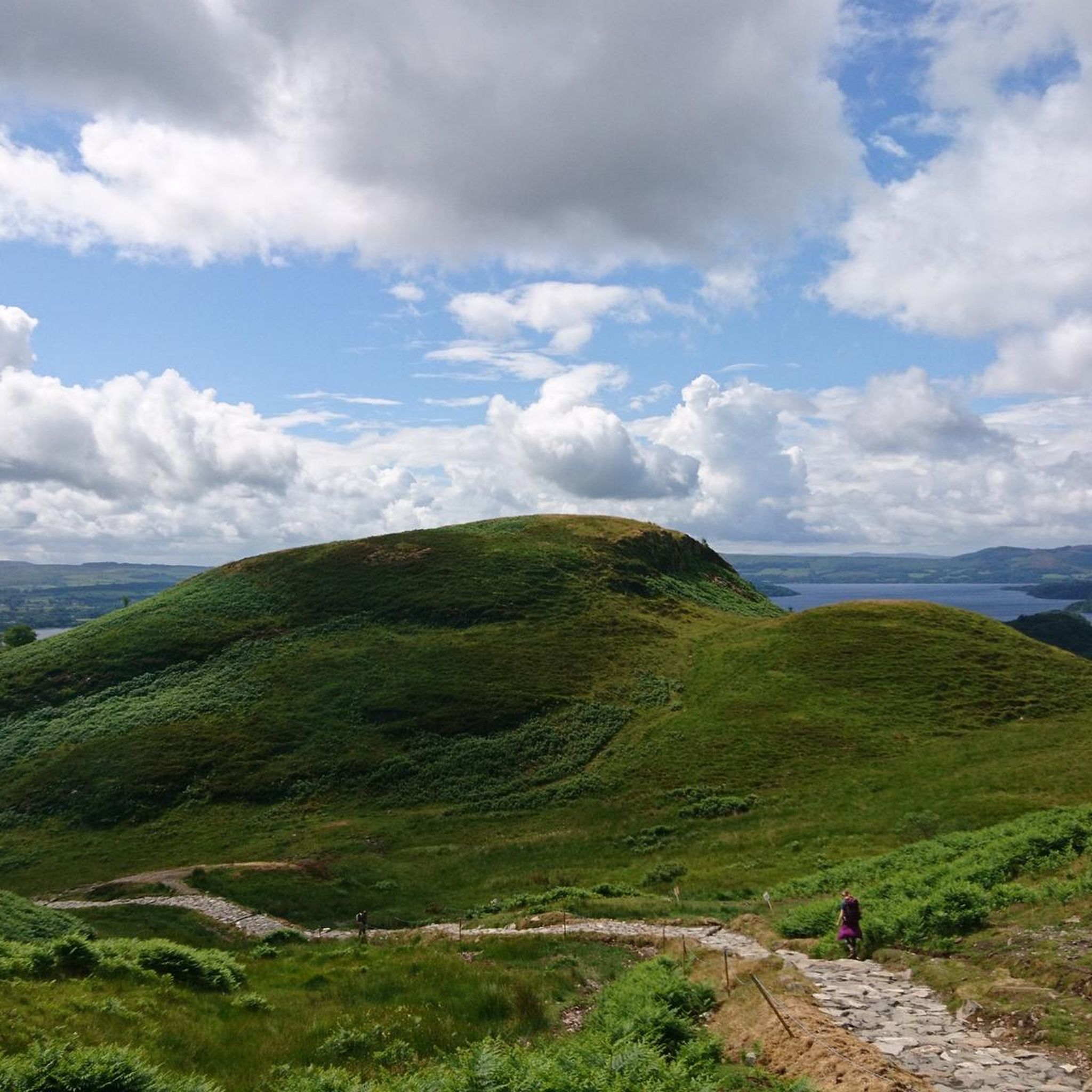
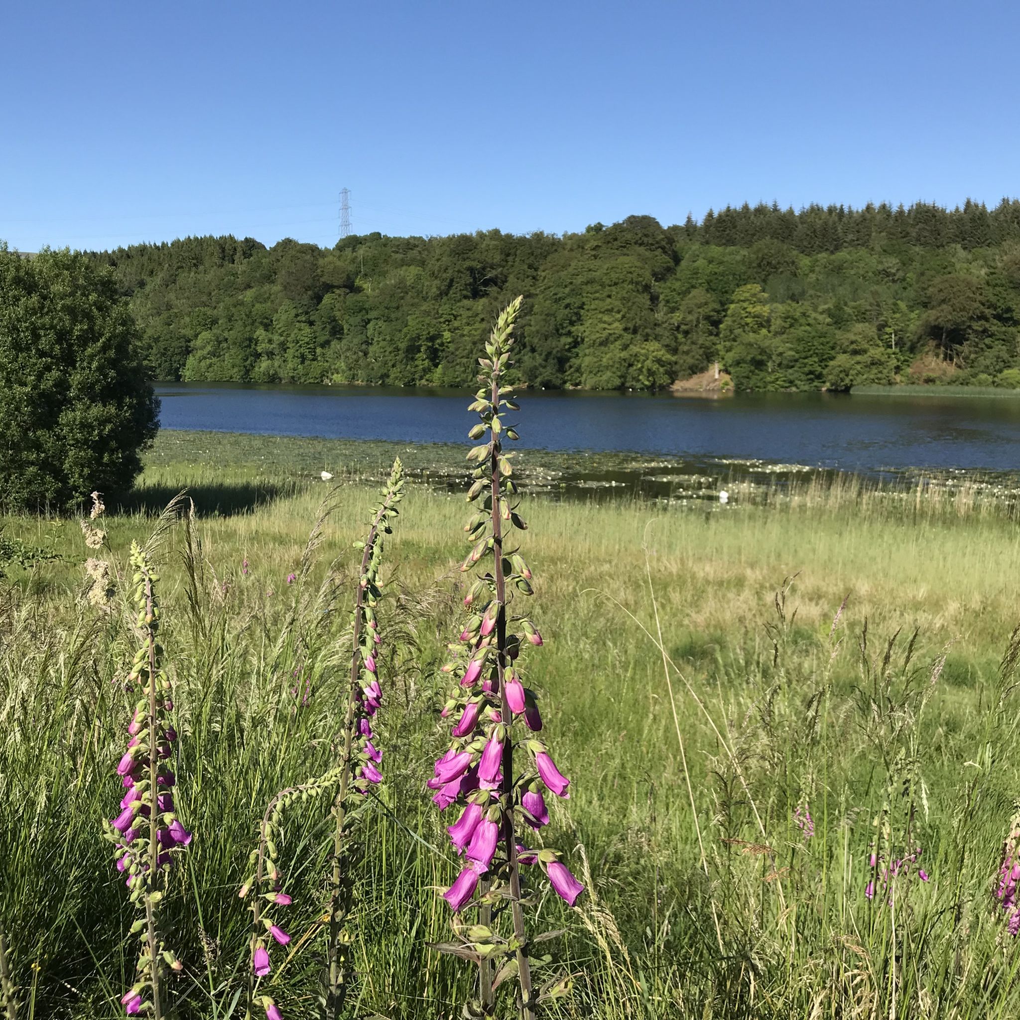
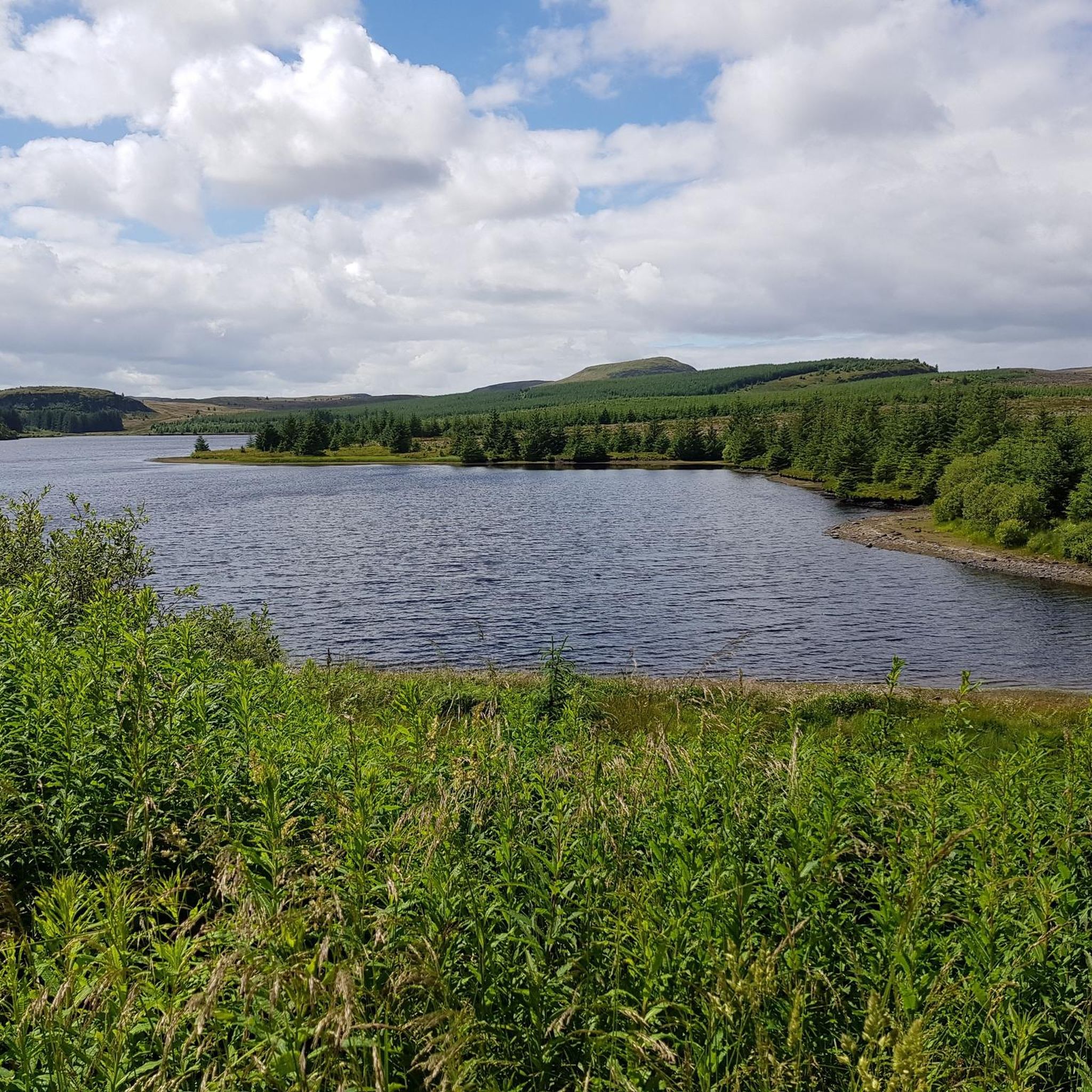
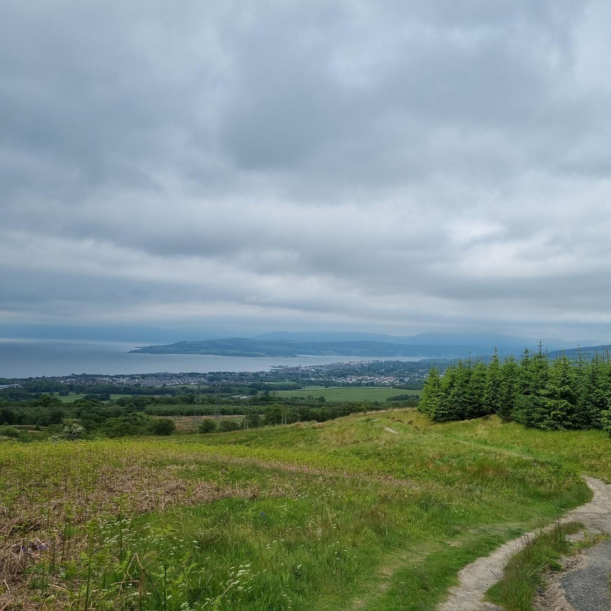
Tips from the Community

The garden with its tropical houses is absolutely worth a visit
0
0

One of the most interesting bridges I've ever seen—in my opinion, an architectural masterpiece, magnificent..👍👍
1
0

Hilly but very scenic route with some car free sections and of course coffee/lunch stops.
0
0

Stunning view of the River Teith as you leave or come back into Callander.
1
0


From this point on the western shores of Lock Achray you are afforded breathtaking views of the majestic Ben Venue peak that rises out of the mountainscape. You'll notice its steep, rocky slopes and distinctive outline that make it such a recognisable landmark in the Trossachs.
1
0
Stockingfield Junction is a spot along the canal between Maryhill and Ruchill in Glasgow, Scotland. It first opened back in 1777, closed in 1963, and was later restored and reopened in 2022. Originally, it served as a terminus before becoming the junction for the Port Dundas branch off the main line of the Forth and Clyde Canal from 1777.
4
1

Nice view on both side along the kelvin river
0
0
Frequently Asked Questions
What kind of terrain can I expect when road cycling around Bardowie Loch?
Road cycling around Bardowie Loch offers a varied landscape. You'll find a mix of mostly paved surfaces, alongside routes with rolling hills and gentle ascents and descents. Some routes may also include unpaved segments, so it's good to be prepared for diverse conditions.
Are there road cycling routes suitable for beginners or families around Bardowie Loch?
Yes, the area provides options for various ability levels. There are 141 easy routes available, offering gentler rides. For example, the Cafe Barga loop from Milngavie is an easy 17.8-mile route, and the View of Glasgow – View of the Campsie Fells loop from Milngavie is another easy option at 13.7 miles.
What options are available for experienced road cyclists seeking a challenge?
Experienced cyclists can find more challenging routes with significant elevation gain. There are 25 difficult routes in the area. A notable option is the Dukes Pass Scenic Drive – View of Glasgow from Crow Road loop from Milngavie, a difficult 66.7-mile trail with over 1200 meters of elevation gain.
How long are the road cycling routes typically around Bardowie Loch?
The routes vary significantly in length to suit different preferences. You can find shorter loops, such as the 13.7-mile View of Glasgow – View of the Campsie Fells loop from Milngavie, up to much longer and more challenging rides like the 66.7-mile Dukes Pass Scenic Drive – View of Glasgow from Crow Road loop from Milngavie.
Is there convenient parking available for cyclists near Bardowie Loch?
Milngavie often serves as a convenient starting point for many routes around Bardowie Loch, and you can typically find parking facilities there. It's advisable to check local parking regulations and availability before your visit.
How can I reach the Bardowie Loch cycling routes using public transport?
Milngavie, a common starting point for routes in the area, offers good public transport links to Glasgow. This makes it accessible for cyclists who prefer to use trains or buses to reach the starting points of their rides.
When is the best time of year to go road cycling around Bardowie Loch?
The area is enjoyable for cycling throughout the warmer months, typically from spring through autumn. While some routes are accessible year-round, checking weather forecasts is always recommended, especially during winter, as conditions can be variable.
Are there places to stop for refreshments along the cycling routes?
Yes, routes often pass through or near towns and villages where you can find cafes and pubs. For instance, the Cafe Barga loop from Milngavie is named for a local cafe, indicating opportunities for refreshment stops.
What notable landmarks or natural features can I see while cycling around Bardowie Loch?
Cyclists can enjoy views of the freshwater Bardowie Loch itself, which is encircled by rounded drumlins. You might also spot the 16th-century Bardowie Castle on the northern shore. Distant views of the impressive Campsie Fells add to the scenic backdrop, and some routes pass through Mugdock Country Park, featuring the ruins of Mugdock and Craigend Castles.
What do other road cyclists enjoy the most about road cycling in Bardowie Loch?
The area is highly rated by the komoot community, with an average score of 4.4 stars from over 300 reviews. Cyclists often praise the varied terrain, the scenic views of the loch and distant Campsie Fells, and the network of routes that cater to different skill levels.
Are there any circular road cycling routes available around Bardowie Loch?
Yes, many of the routes around Bardowie Loch are designed as loops, allowing you to start and finish in the same location. Examples include the Stockingfield Junction Bridge – Maryhill Locks loop from Milngavie and the View of the Campsie Fells loop from Milngavie.
Do the road cycling routes connect to larger cycling networks?
Yes, the region's network of routes connects to established cycling paths, including segments of the National Cycle Network 7 (Lochs and Glens Way). The Kelvin Walkway and Strathkelvin Railway Path also provide shared cycling paths nearby, offering picturesque views.
How many road cycling routes are available in the Bardowie Loch area?
There are over 270 road cycling routes available around Bardowie Loch, offering a wide variety of options for cyclists of all levels. This includes 141 easy, 112 moderate, and 25 difficult routes.
Most popular routes around Bardowie Loch

Get inspired with the komoot mobile app


Explore more
Browse the best Road cycling routes in other regions.
