The best mountain hikes around Lago di Sauris
4.0
(2)
26
hikers
5
hikes
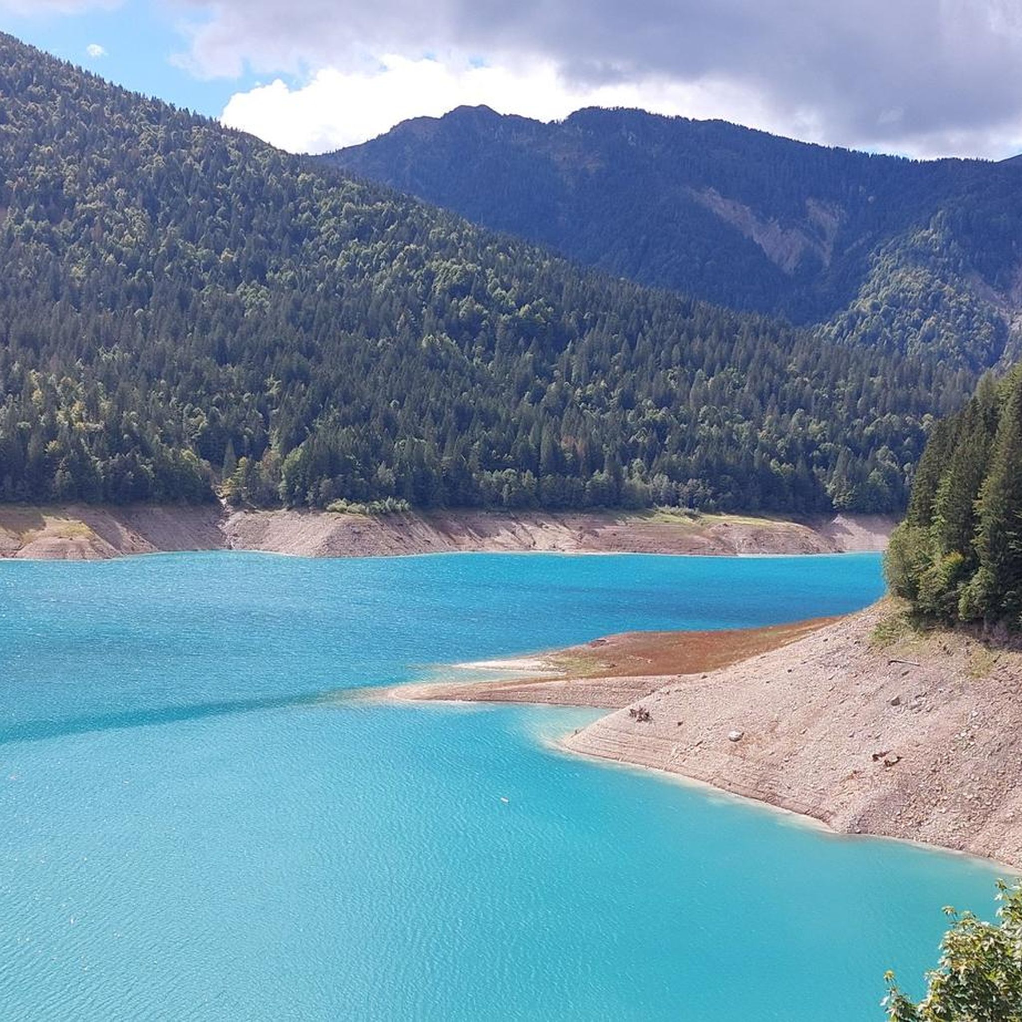
Mountaineering routes around Lago di Sauris are situated within the Carnic Alps, surrounded by majestic Dolomite peaks. This region features a diverse landscape of rocky massifs, dense forests, high-altitude pastures, and alluvial terraces. The challenging terrain, including prominent peaks like Monte Bivera and Pieltinis, provides a robust setting for demanding alpine pursuits.
Best mountaineering routes around Lago di Sauris
- The most popular mountaineering route is Wooden Shelter loop from Rifugio Tita Piaz, a 6.6 miles (10.6 km) trail that…
Last updated: July 4, 2026
5
hikers
10.6km
04:31
670m
670m
Hard mountaineering route. Good fitness required. Sure-footedness, sturdy shoes and alpine experience required.
3
hikers
Hard mountaineering route. Very good fitness required. Mostly accessible paths. Sure-footedness required.

Sign up for free
4.0
(2)
11
hikers
14.2km
06:09
840m
840m
Hard mountaineering route. Very good fitness required. Sure-footedness, sturdy shoes and alpine experience required.
5
hikers
8.30km
03:55
580m
580m
Hard mountaineering route. Good fitness required. Sure-footedness, sturdy shoes and alpine experience required.
2
hikers
14.8km
06:18
930m
930m
Hard mountaineering route. Very good fitness required. Sure-footedness, sturdy shoes and alpine experience required.
Our route recommendations are based on thousands of hikes, rides, and runs completed by other people on komoot.
Start today with a free account
Your next adventure awaits.
Login or Signup
Tips from the Community

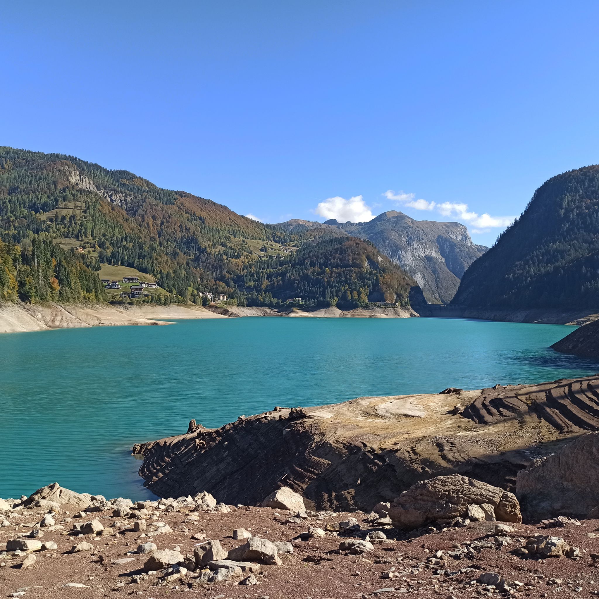
A wonderful place that invites you to linger. On one side, there are views of a breathtaking plateau with ponds whose water level changes depending on the season. From the saddleback, there are breathtaking views in all directions and into the valley towards Sauris di Sopra.
2
0
Beautifully stylish mountain village where you can feel at home. You come in and feel peace and security in the protection of the mountains surrounding the village. A walk through the village is worthwhile... coming from the city, it feels a little like a journey to another time.
2
0

great food, nice staff, beautiful panorama
0
0

Nice area although cold, recommended in summer to cool off
0
0

Stop, fill your water bottles and set off again.
11
0

After the steep climb that starts from Sauris di Sopra you arrive at Sella Festons at an altitude of 1,860m, a beautiful place with a fantastic panorama. There is a station for packed lunches, a table and benches.
3
0

A great place to enjoy excellent local food. A great break at the end of the climb.
1
0

This plateau is a highlight that not everyone can achieve by bike. There are still many trails to discover!
1
0
Frequently Asked Questions
What kind of terrain can I expect on mountaineering routes around Lago di Sauris?
The mountaineering routes around Lago di Sauris are characterized by challenging rocky massifs, high-altitude pastures, and dense forests. You'll encounter sustained climbs and varied landscapes, including sections with significant elevation gain, particularly towards prominent peaks like Monte Bivera and Pieltinis. The region is part of the Carnic Alps, offering a robust setting for demanding alpine pursuits.
Are there any circular mountaineering routes in the Lago di Sauris area?
Yes, there are several circular mountaineering routes. For instance, the Wooden Shelter loop from Rifugio Tita Piaz is a popular option. Another challenging circular path is the Monte Pièltinis – Sella Festons loop from Sauris di Sotto / Dörf / Sauris Disot, which traverses varied landscapes including high-altitude pastures. The Terza Grande – Passo Mimoias loop from Scuola sci Carnia Zoncolan also offers a demanding circular experience through high mountain passes.
What are some notable landmarks or viewpoints I can expect to see along the mountaineering routes?
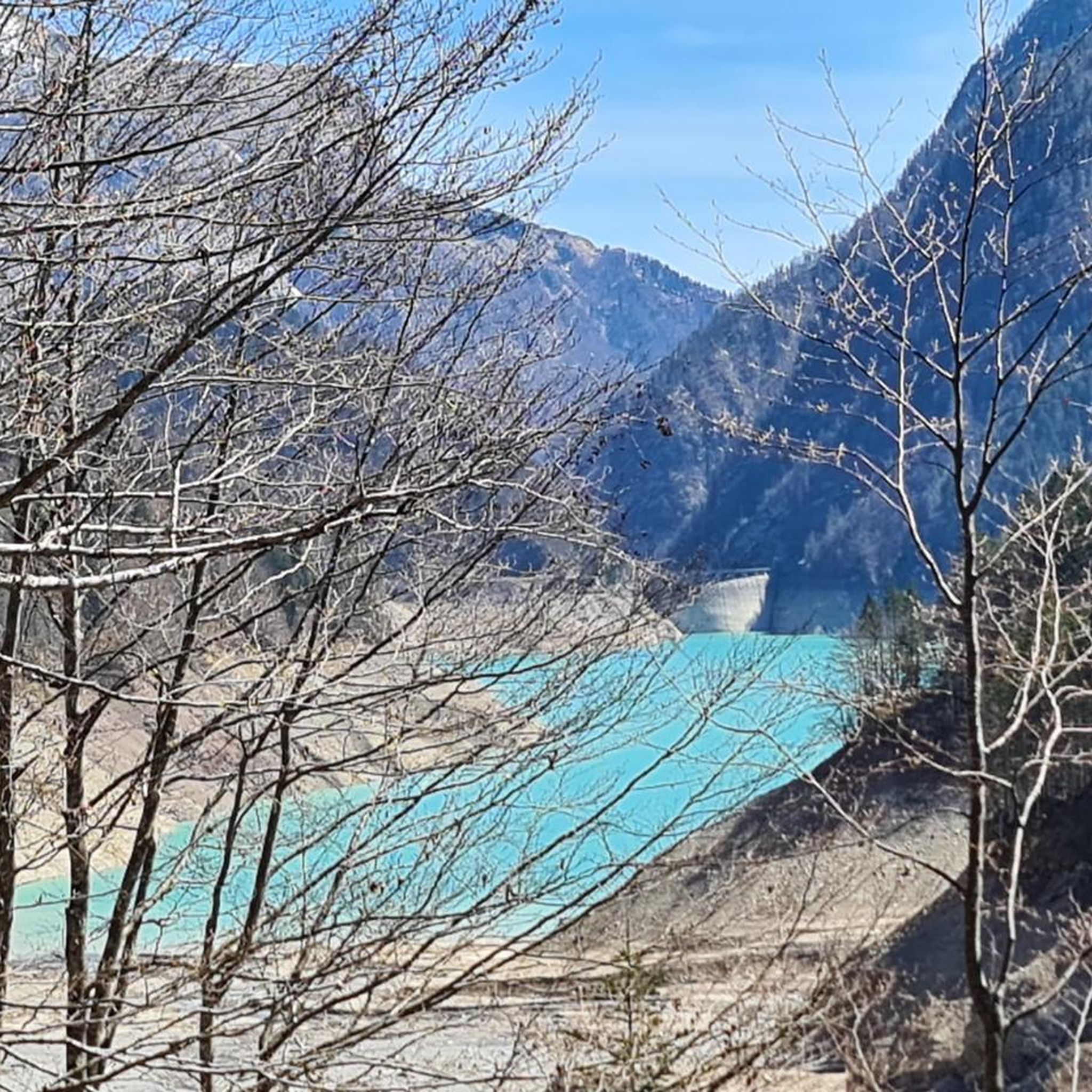
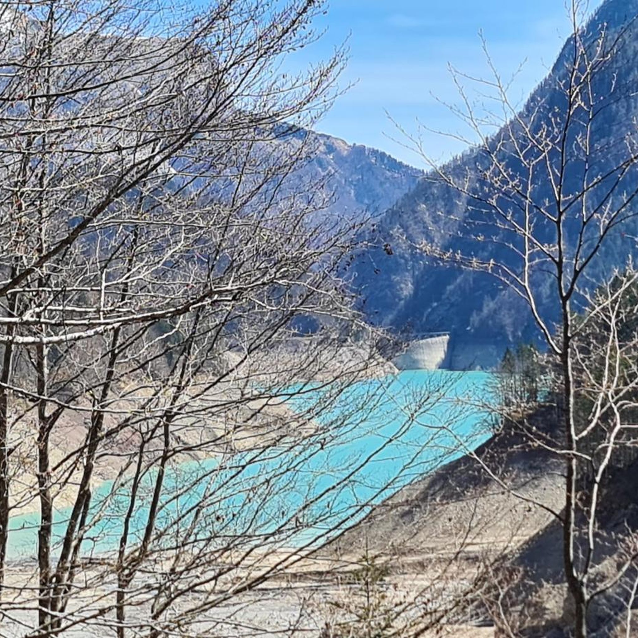
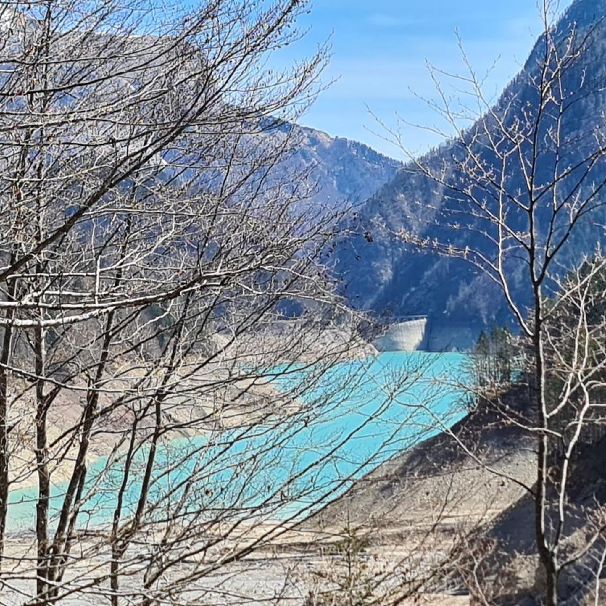
The region offers stunning natural and man-made landmarks. Many routes provide fantastic panoramas, especially from higher elevations like the summit of Sella di Rioda. You might also pass by the impressive Tunnel at the Sauris Dam, a significant piece of Italian engineering offering breathtaking views of the reservoir and mountains. The area around Passo del Pura also provides beautiful vistas just before the summit.
What is the best time of year for mountaineering around Lago di Sauris?
The best time for mountaineering is typically from late spring through early autumn when the weather is more stable and trails are clear of snow. During these months, you'll experience vibrant green meadows, clear skies, and comfortable temperatures. The landscape transforms beautifully in autumn with fiery foliage, offering a unique visual experience.
Are there any family-friendly hiking options near Lago di Sauris, even if not full mountaineering?
While the mountaineering routes themselves are generally difficult and suited for experienced individuals, the broader Lago di Sauris area does offer a dense network of trails, mule tracks, and dirt roads. Some of these paths are easier and more suitable for families, connecting villages, alpine huts ('malghe'), and high-altitude pastures. The Sauris Lake Alpine Trail (via Route 216) is one such recommended hiking trail around the lake that might offer more accessible sections.
Can I bring my dog on the mountaineering routes?
Many trails in the Carnic Alps are dog-friendly, but it's always advisable to check specific route regulations. Given the challenging and rocky terrain of mountaineering routes around Lago di Sauris, ensure your dog is fit, well-trained, and accustomed to such conditions. Always keep your dog on a leash, especially in areas with livestock or wildlife, and carry enough water for both of you.
Where can I find parking for these mountaineering routes?
Parking availability varies by trailhead. Many routes, such as the Monte Bivera – Forcella del Bivera loop from Sella di Razzo or the Mountaineering loop from Sella di Razzo, start from locations like Sella di Razzo, which typically have designated parking areas. For routes originating from villages like Sauris di Sotto, you can usually find parking within or on the outskirts of the village.
What is the overall experience like for mountaineers in Lago di Sauris, according to the komoot community?
The komoot community highly rates the mountaineering experience around Lago di Sauris, with an average score of 4.0 stars. Mountaineers often praise the challenging terrain, the stunning panoramic views from the summits, and the sense of accomplishment after tackling demanding ascents. The pristine natural environment and the diverse landscapes, from rocky massifs to high-altitude pastures, are frequently highlighted as key attractions.
Are there any less-trafficked or 'hidden gem' mountaineering routes in the area?
While all routes offer a sense of wilderness, exploring the areas around Monte Bivera, Pieltinis, and Tiarfin can lead to more secluded experiences. The region's extensive network of trails means that even popular areas can offer quiet sections, especially if you venture slightly off the main paths. The 'Anello delle malghe' (Mountain Hut Ring) around Monte Pieltinis, for example, offers an immersive experience in the alpine environment away from more crowded spots.
What are the typical durations for mountaineering routes in Lago di Sauris?
The mountaineering routes in Lago di Sauris are generally demanding and require a significant time commitment. For example, the Wooden Shelter loop from Rifugio Tita Piaz typically takes around 4 hours 30 minutes. More extensive routes, such as the Terza Grande – Passo Mimoias loop from Scuola sci Carnia Zoncolan, can take approximately 7 hours 36 minutes to complete, reflecting the challenging terrain and considerable elevation gains.
What other outdoor activities are available near Lago di Sauris besides mountaineering?
Lago di Sauris and its surroundings offer a wide array of outdoor activities. The lake itself is popular for sport fishing, canoeing, windsurfing, stand-up paddleboarding, and pedal boating. For an adrenaline rush, the Sauris Zipline, one of Italy's longest, offers a thrilling flight over the lake. In winter, the area transforms into a destination for skiing, snowmobiling, and snowshoeing. Horseback riding and mountain biking are also popular ways to explore the extensive trail network.
Most popular routes around Lago di Sauris
Most popular attractions around Lago di Sauris

Get inspired with the komoot mobile app


Explore more
Browse the best Mountain Hikes & Routes in other regions.
