The best mountain hikes around Lake TerLake
4.7
(36)
235
hikers
3
hikes
Mountaineering routes around Lake TerLake are situated in the Trentino region, characterized by prominent mountain ranges, alpine peaks, and scenic ridges. The area offers diverse terrain, from challenging summit approaches to routes with expansive viewpoints. The landscape includes features like the Gruppo della Paganella and Monte Cavo Ridge, providing varied experiences for mountaineers. These routes offer opportunities to explore high alpine terrain and prominent mountain peaks.
Best mountaineering routes around Lake TerLake
- The most popular mountaineering route is Salto del…
Last updated: October 9, 2026
5.0
(1)
1
hikers
Hard mountaineering route. Great for any fitness level. Sure-footedness, sturdy shoes and alpine experience required.
5.0
(1)
1
hikers
7.13km
02:49
380m
380m
Hard mountaineering route. Good fitness required. Sure-footedness, sturdy shoes and alpine experience required.

4.9
(10)
73
hikers
Hard mountaineering route. Good fitness required. Sure-footedness, sturdy shoes and alpine experience required.
5.0
(3)
18
hikers
13.9km
06:26
1,150m
1,150m
Hard mountaineering route. Very good fitness required. Sure-footedness, sturdy shoes and alpine experience required.
5.0
(3)
20
hikers
Moderate mountaineering route. Good fitness required. Mostly accessible paths. Sure-footedness required.
Our route recommendations are based on thousands of hikes, rides, and runs completed by other people on komoot.
Start today with a free account
Your next adventure awaits.
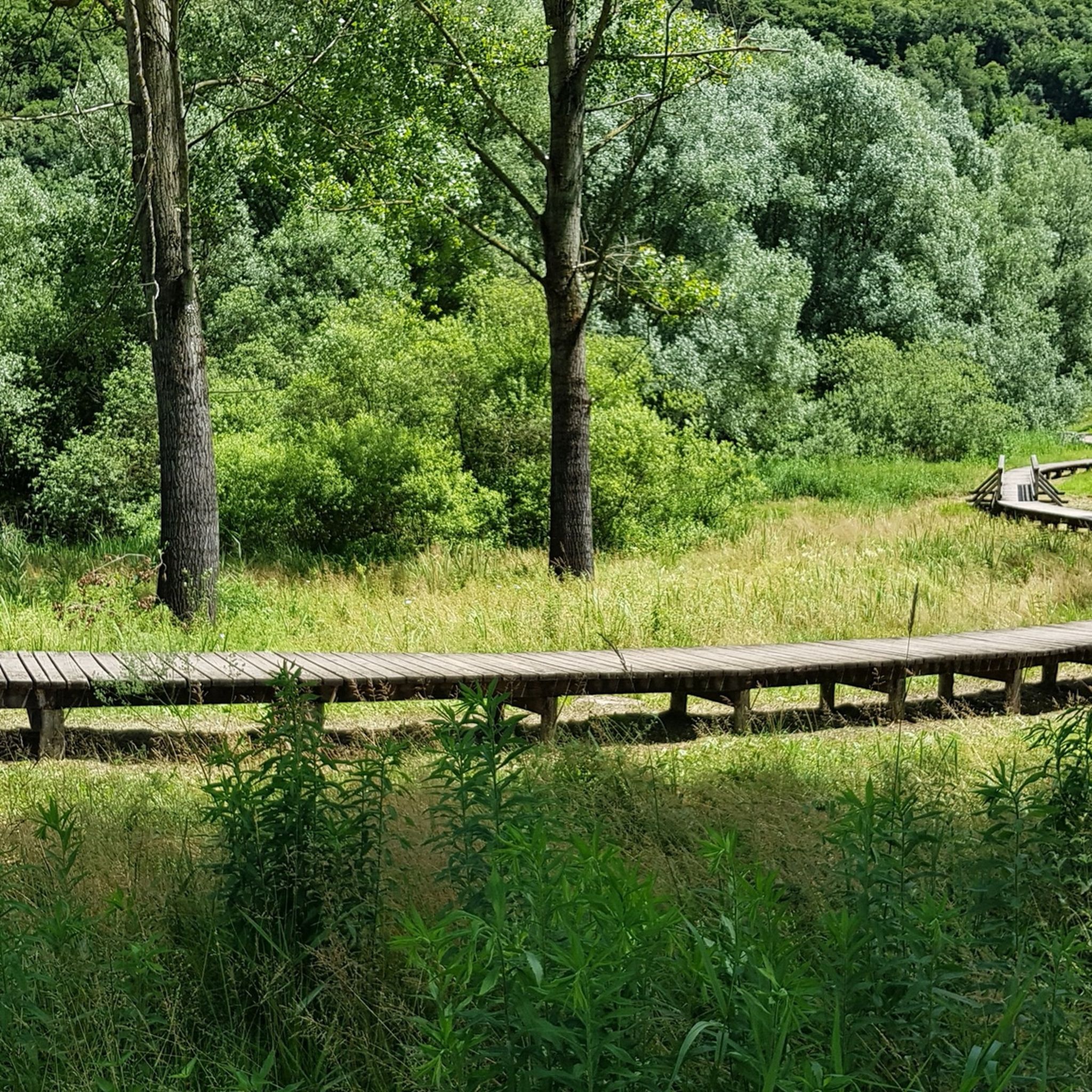
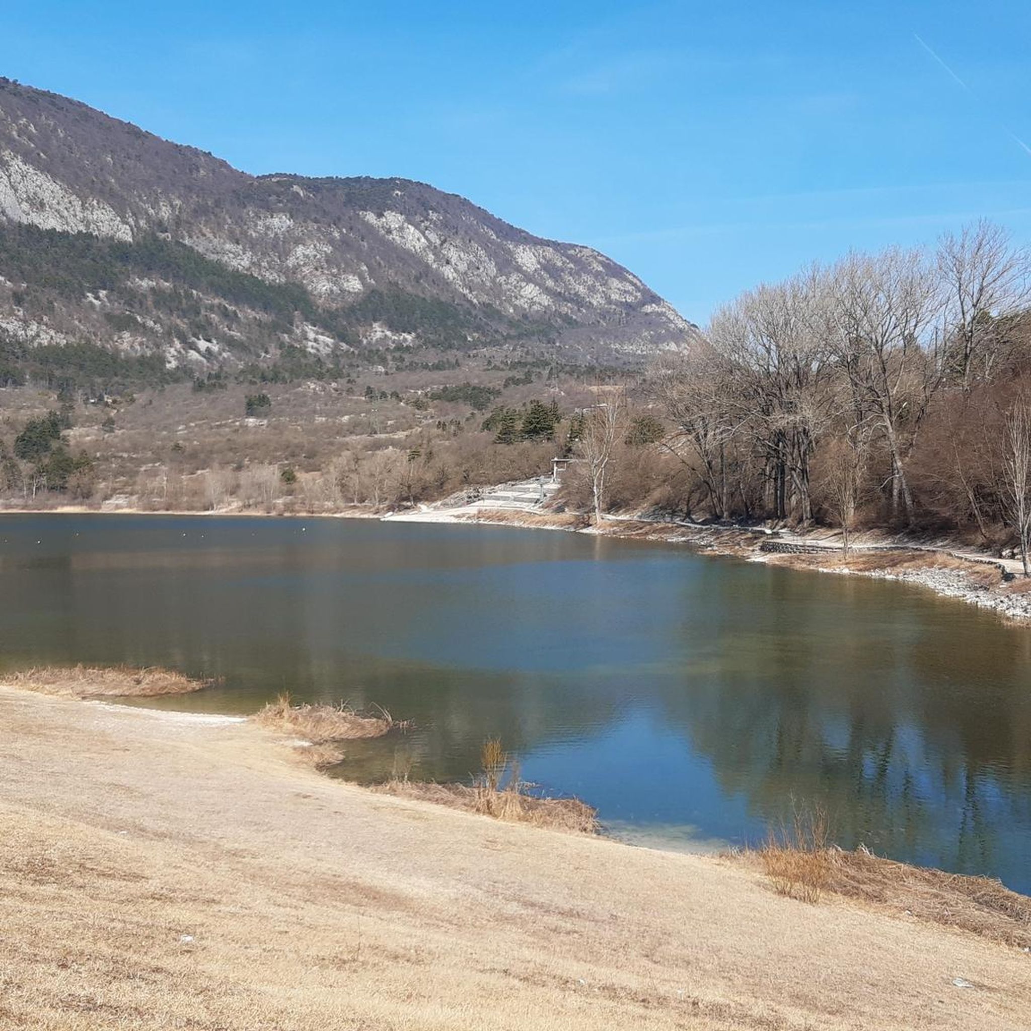
Other adventures around Lake TerLake

Tips from the Community

Monte Cornetto, along with Cima Verde and Dos d'Abramo, is one of the peaks that make up the famous "Tre Cime del Bondone"; it's probably the one with the best panoramic views. From here, the view opens up to a 360° panorama of the Brenta Dolomites, Adamello, Paganella, the Lessinia Mountains, the Garda Prealps, Carega, and the Lagorai mountain range. The climb to the summit cross features easy rock sections, but requires hands.
1
0

Large cave with a stretch of stone men and at the bottom the so-called water of Youth flows from the rock. It is located about halfway along the Eagles' path.
0
0

Beautiful 3-hour trip from the Viote plain. Priceless panorama of both the Brenta and Adamello mountains and the valleys of the lakes and the Adige valley!
0
0

Very futuristic, but fits wonderfully into the mountains.
1
0

From Monte Cornetto, which lies at 2178m, you have a great view of the Sarca Valley and beyond.
2
0

Very technical descent, it is mandatory to tackle it with suitable technical equipment. The trail is well marked, is located in the Paganella bike park and can be accessed via a nice cable car service. The cost is not excessive.
0
0
Beautiful descent, quite technical in the Paganella bike park
0
0

The Vis Ferrata Giulio Segata is a short, tough via ferrata that is divided into two sections. The second section is even harder than the first section, but becomes easier again as you go up. It starts over long smooth steep walls (E). At the top you climb through a cave with all kinds of stepping aids (C).
2
0
Frequently Asked Questions
How many mountaineering routes are available around Lake TerLake?
There are over 4 mountaineering routes documented on komoot around Lake TerLake, offering diverse experiences for different skill levels. These routes are highly rated by the komoot community.
What is the typical difficulty level of mountaineering routes in the Lake TerLake area?
The mountaineering routes around Lake TerLake are generally considered moderate to difficult. For example, the Hustle & Flow – Cima Paganella loop from Gruppo della Paganella is a moderate option, while routes like the Salto del Camoscio Viewpoint – Ferrata delle Aquile Summit loop from Gruppo della Paganella are rated as difficult, involving challenging ascents and exposed sections.
Are there any circular mountaineering routes around Lake TerLake?
Yes, many of the mountaineering routes in the Lake TerLake area are circular. For instance, the Costa del Cavai – Monte Cavo Ridge loop from Biotopo Toribera delle Viote offers a challenging circular experience, and the Salto del Camoscio Viewpoint – Trono dell'Aquila Viewpoint loop from Andalo is another excellent loop option for experienced mountaineers.
What kind of terrain can I expect on mountaineering routes near Lake TerLake?
You can expect varied alpine terrain, including prominent mountain peaks, scenic ridges, and challenging ascents. The routes often feature rocky paths, exposed sections, and offer expansive mountain vistas, especially around areas like the Gruppo della Paganella and Monte Cavo Ridge.
What is the best time of year for mountaineering around Lake TerLake?
The best time for mountaineering around Lake TerLake is typically from late spring to early autumn (June to September) when the weather is more stable, and trails are generally free of snow. Always check local weather forecasts and trail conditions before heading out, as alpine weather can change rapidly.
Are there any permits required for mountaineering in the Lake TerLake area?
Generally, no specific permits are required for hiking on established mountaineering routes in the Lake TerLake area. However, if you plan to engage in technical climbing or via ferrata, ensure you have the appropriate gear and check for any specific access requirements for those activities.
What do other mountaineers enjoy most about the routes in Lake TerLake?
The area is highly rated by the komoot community, with an average score of 4.7 stars from over 50 reviews. Reviewers often praise the breathtaking panoramic views, the challenging yet rewarding ascents, and the well-maintained trails that lead to prominent peaks and viewpoints.
Are there any longer, more challenging mountaineering routes for experienced climbers?
Yes, for experienced mountaineers seeking a longer challenge, the Salto del Camoscio Viewpoint – Ferrata delle Aquile Summit loop from Fai della Paganella is a difficult route spanning over 14 km with significant elevation gain, offering a full day of alpine adventure.
Where can I find parking for mountaineering trails around Lake TerLake?
Parking availability varies by trailhead. Many routes, especially those starting from popular areas like Gruppo della Paganella or near villages such as Andalo and Fai della Paganella, typically have designated parking areas. It's advisable to check specific route descriptions for detailed parking information.
Are there any options for a moderate mountaineering experience?
Yes, if you're looking for a moderate mountaineering experience, the Hustle & Flow – Cima Paganella loop from Gruppo della Paganella is a great choice. This 7 km loop offers varied alpine scenery without the extreme difficulty of some of the longer, more exposed routes.
What kind of gear is recommended for mountaineering in this region?
Given the moderate to difficult nature of the routes, essential gear includes sturdy hiking boots with good ankle support, appropriate layered clothing for changing alpine weather, a backpack with water and snacks, a map or GPS device, and sun protection. For more challenging routes or via ferrata sections, a helmet, harness, and via ferrata set are crucial.
Most popular routes around Lake TerLake

Get inspired with the komoot mobile app


Explore more
Browse the best Mountain Hikes & Routes in other regions.
